Fort Pierre, South Dakota
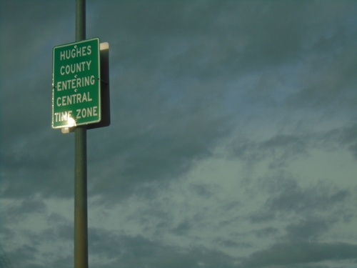
US-14/SD-34 East/US-83 North - Entering Hughes County/Central Time Zone
Entering Hughes County/Central Time Zone on US-14/SD-34 East/US-83 North. The county/time zone boundary is on the Missouri River bridge.
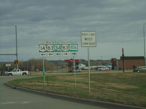
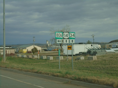
US-14/SD-34 East at US-83/SD-1806
US-14/SD-34 East at US-83/SD-1806 in Fort Pierre. Turn right for US-83 South/SD-1806 South. Turn left for US-83 North/US-14 East/SD-34 East. US-83 joins US-14/SD-34 East across the river into Pierre.
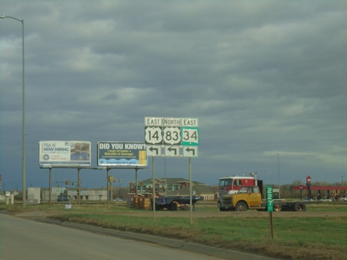
US-14/SD-34 East Approaching US-83
US-14/SD-34 East approaching US-83 in Fort Pierre. Turn left to continue east on US-14/SD-34 and for US-83 north. US-83 joins US-14/SD-34 across the Missouri River into Pierre.
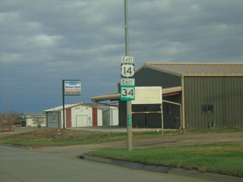
US-14/SD-34 East - Fort Pierre
US-14/SD-34 East in Fort Pierre.
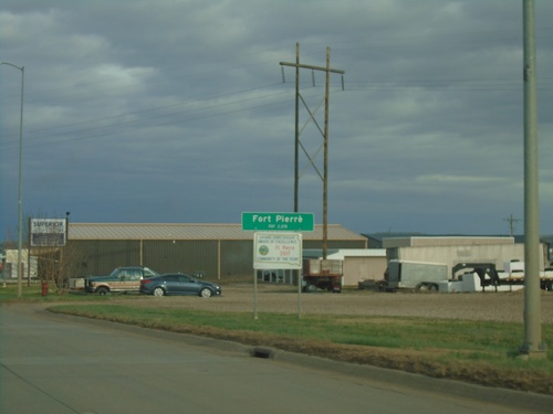
US-14/SD-34 East - Fort Pierre
Entering Fort Pierre on US-14/SD-34 East. Fort Pierre is the county seat of Stanley County, and is directly across the Missouri River from Pierre. Fort Pierre is also in Mountain Time, while across the river the city of Pierre is in Central Time.
US-14/SD-34 East at SD-1806
US-14/SD-34 East at SD-1806 in Fort Pierre.
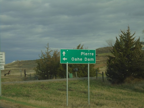
US-14/SD-34 East Approaching at SD-1806
US-14/SD-34 East approaching at SD-1806 North to Oahe Dam. Continue east on US-14/SD-34 to Pierre.
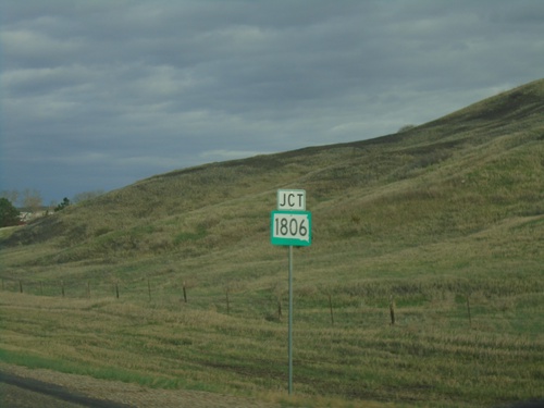
US-14/SD-34 East Approaching SD-1806
US-14/SD-34 East approaching SD-1806. SD-1806 is named for the year Lewis and Clark made their return journey through North and South Dakota.