Shield Text Signs In Arizona
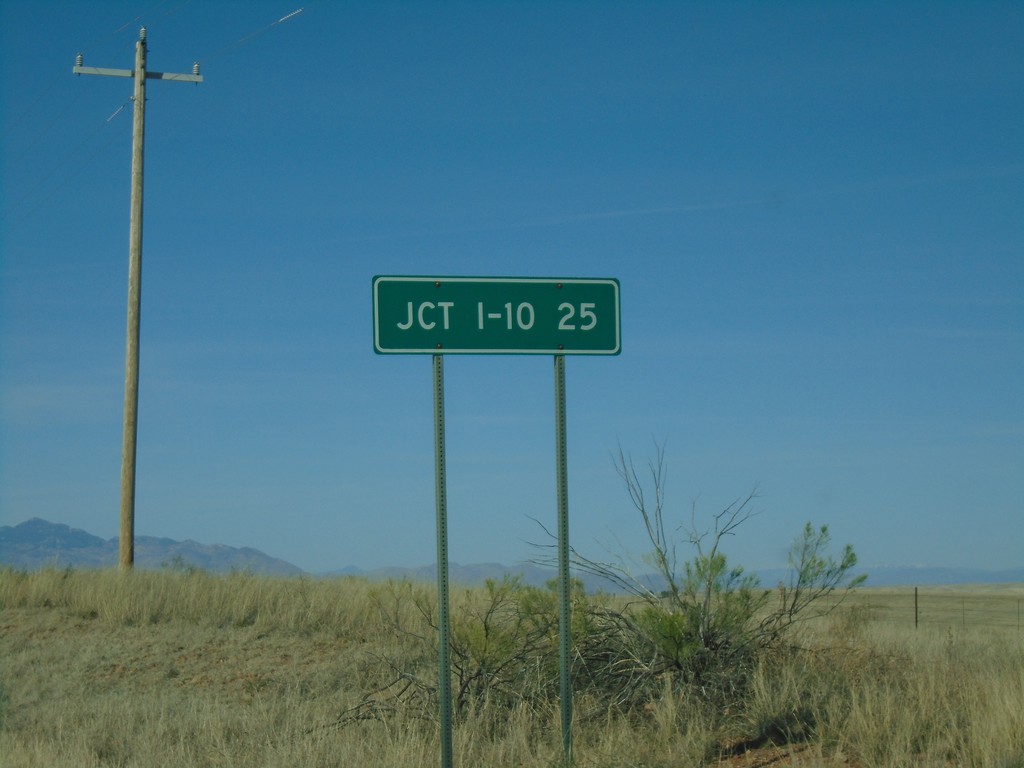
AZ-83 North - Distance Marker
Distance marker on AZ-83 north. Distance to I-10.
Taken 03-23-2019

 Sonoita
Santa Cruz County
Arizona
United States
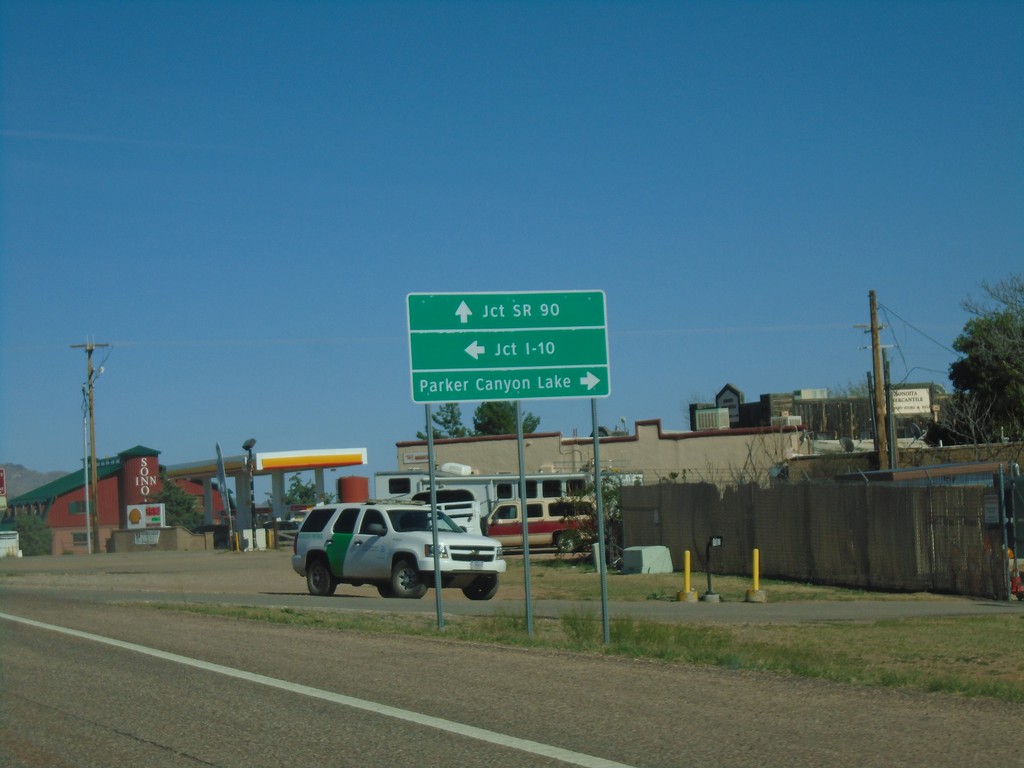
AZ-82 East Approaching AZ-83
AZ-82 east approaching AZ-83. Use AZ-83 north for I-10. Continue east on AZ-82 for SR-90. Turn right on county road for Parker Canyon Lake.
Taken 03-23-2019

 Sonoita
Santa Cruz County
Arizona
United States
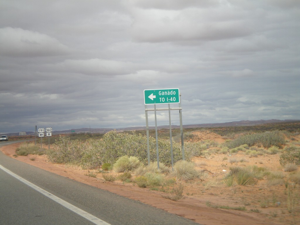
US-160 West/US-191 South Approaching US-191 South
US-160 West/US-191 South approaching US-191 south to I-40 and Ganado. The US-191 and US-160 shields are in the background of the photo.
Taken 10-08-2011


 Teec Nos Pos
Apache County
Arizona
United States
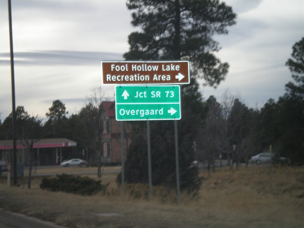
US-60/AZ-77/AZ-260 West at AZ-260
US-60/AZ-77/AZ-260 west at AZ-260 west to Overgaard and Fool Hollow Lake Recreation Area. US-60 West/AZ-77 South continues to AZ-73 Jct. AZ-260 west leaves US-60/AZ-77 here.
Taken 02-24-2011


 Show Low
Navajo County
Arizona
United States
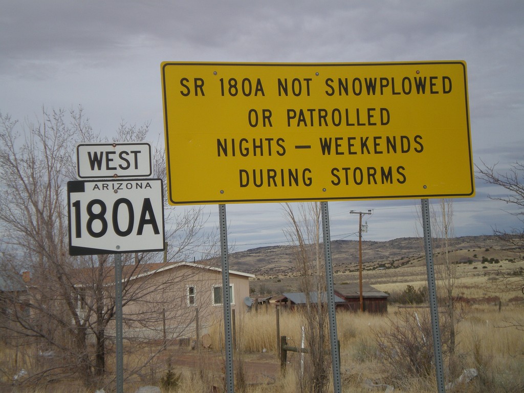
AZ-180A West - Winter Driving Warning
Warning on AZ-180A that the highway is not plowed nights or on weekends during storms.
Taken 02-24-2011
 Concho
Apache County
Arizona
United States
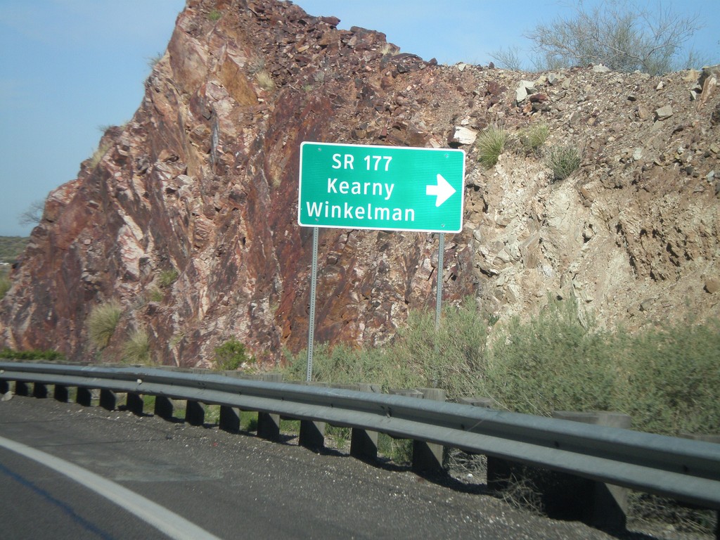
US-60 West at AZ-177 South
US-60 west at AZ-177 south to Winkelman and Kearny. AZ-177 is not displayed as a typical highway shield here, instead it is written out in text.
Taken 03-22-2010

 Superior
Pinal County
Arizona
United States
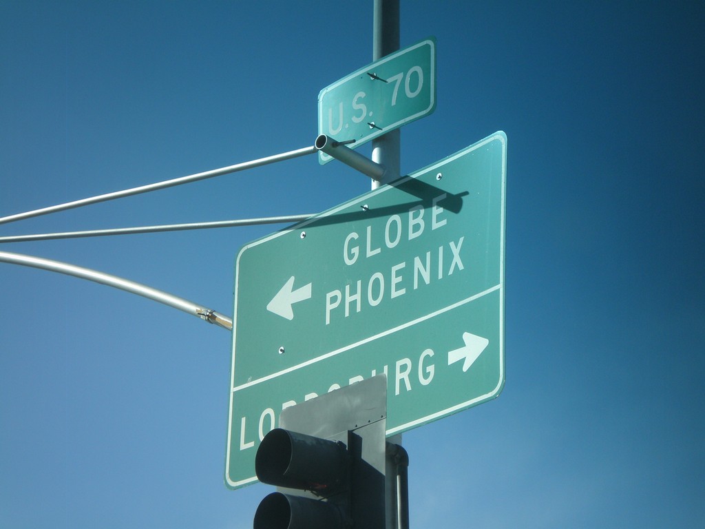
US-70 West at US-191 South
US-70 west at US-191 south. Use US-70 west for Globe and Phoenix. Use US-70 East/US-191 North for Lordsburg (NM).
Taken 03-21-2010

 Safford
Graham County
Arizona
United States
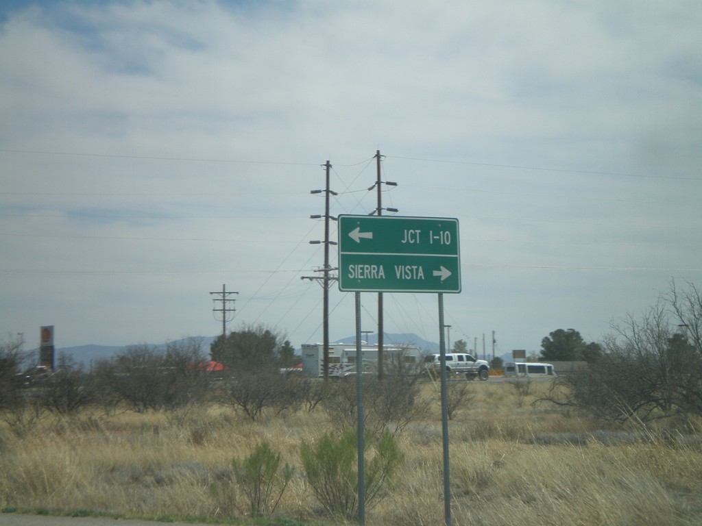
AZ-82 East At AZ-90
AZ-82 east at AZ-90. Use AZ-90 north for Jct. I-10. Use AZ-90 south for Sierra Vista.
Taken 03-22-2009

 Huachuca City
Cochise County
Arizona
United States
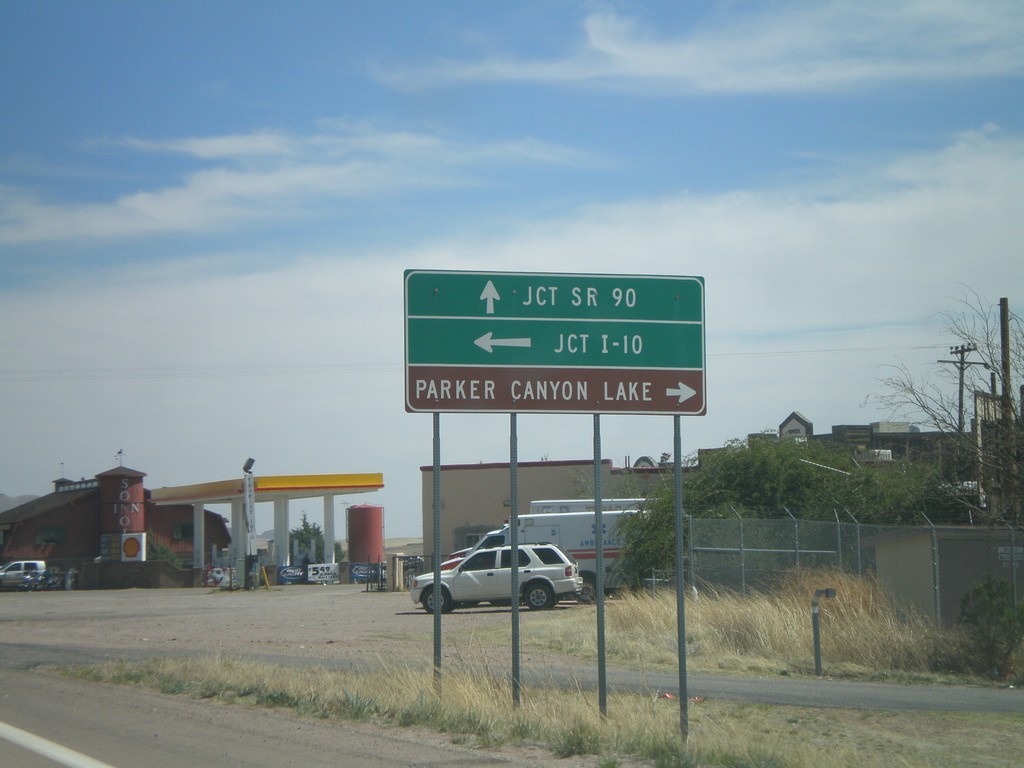
AZ-82 East Approaching AZ-83
AZ-82 east approaching AZ-83. Use AZ-83 north for I-10. Use AZ-83 south for Parker Canyon Lake.
Taken 03-22-2009

 Sonoita
Santa Cruz County
Arizona
United States
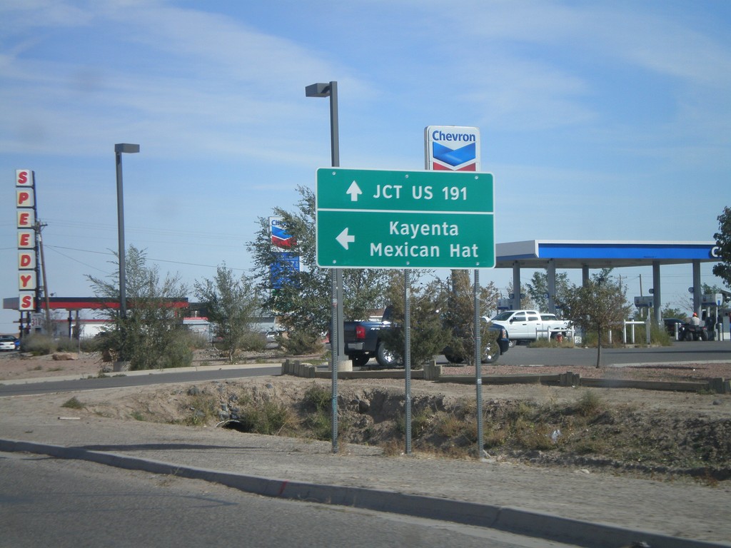
US-160 East at US-163
US-160 east approaching US-163 to Mexican Hat and Kayenta. Continue east on US-160 for US-191.
Taken 10-18-2008

 Kayenta
Navajo County
Arizona
United States