Shield Inside Sign Signs In California
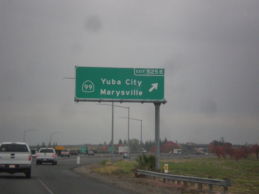
I-5 South - Exit 525B
I-5 south at Exit 525B - CA-99 North/Yuba City/Marysville.
Taken 11-20-2017

 Sacramento
 County
California
United States
Sacramento
Sacramento County
California
United States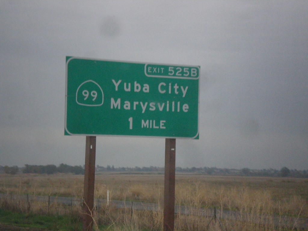
I-5 South Approaching Exit 525B
I-5 south approaching Exit 525B - CA-99 North/Yuba City/Marysville. CA-99 joins I-5 south to downtown Sacramento.
Taken 11-20-2017

 Sacramento
 County
California
United States
Sacramento
Sacramento County
California
United States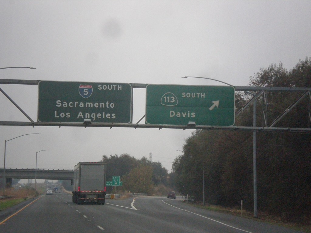
I-5 South - Exit 537
I-5 south at Exit 537 - CA-113 South/Davis. I-5 continues south towards Sacramento and Los Angeles. This is the first reference of Los Angeles as a control city along I-5 southbound.
Taken 11-20-2017

 Woodland
Yolo County
California
United States
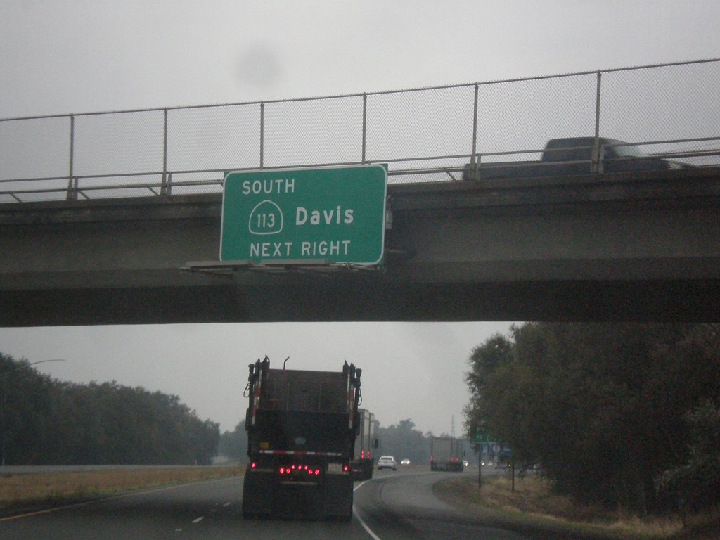
I-5 South Approaching Exit 537
I-5/CA-113 South approaching Exit 537 - CA-113 South/Davis.
Taken 11-20-2017

 Woodland
Yolo County
California
United States
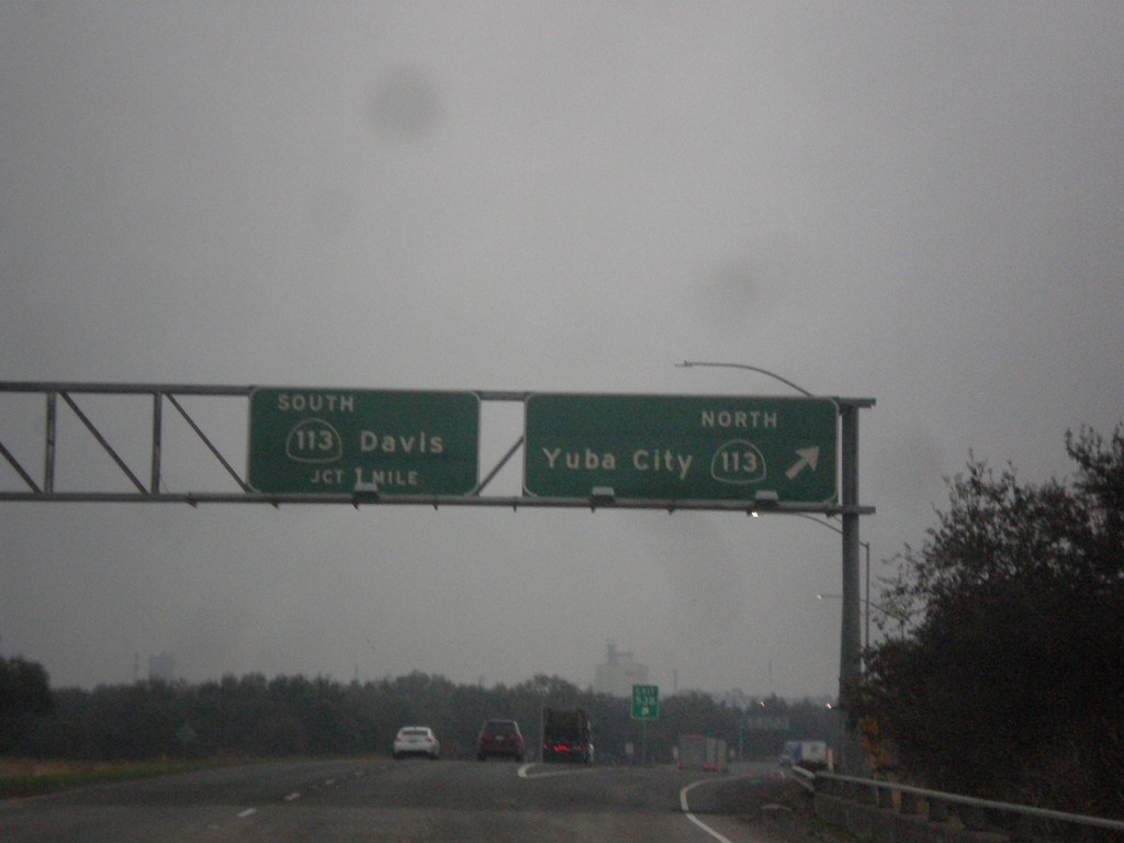
I-5 South - Exits 538 and 537
I-5 south at Exit 538 - CA-113 North/Yuba City and approaching Exit 537 - CA-113 South/Davis. CA-113 joins I-5 south for the next mile.
Taken 11-20-2017

 Woodland
Yolo County
California
United States
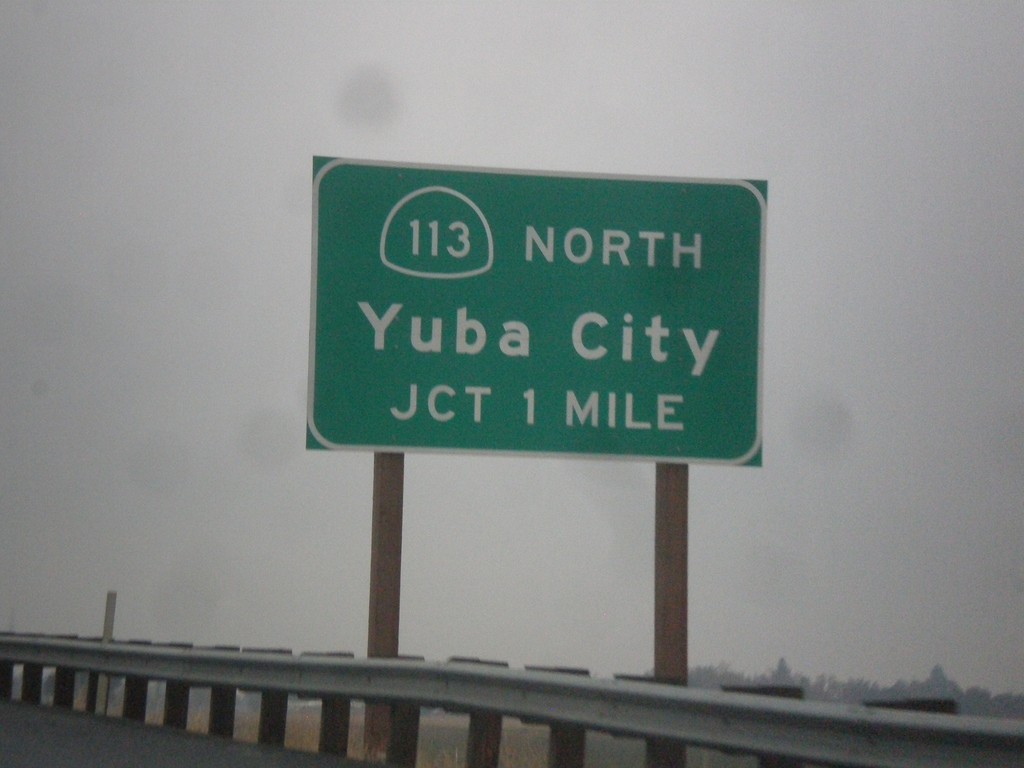
I-5 South Approaching Exit 538
I-5 south approaching Exit 538 - CA-113 North/Yuba City.
Taken 11-20-2017

 Woodland
Yolo County
California
United States
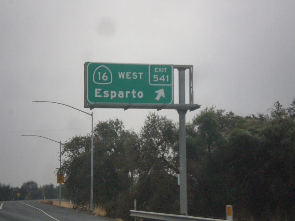
I-5 South - Exit 541
I-5 south at Exit 541 - CA-16 West/Esparto.
Taken 11-20-2017

 Yolo
Yolo County
California
United States
Yolo
Yolo County
California
United States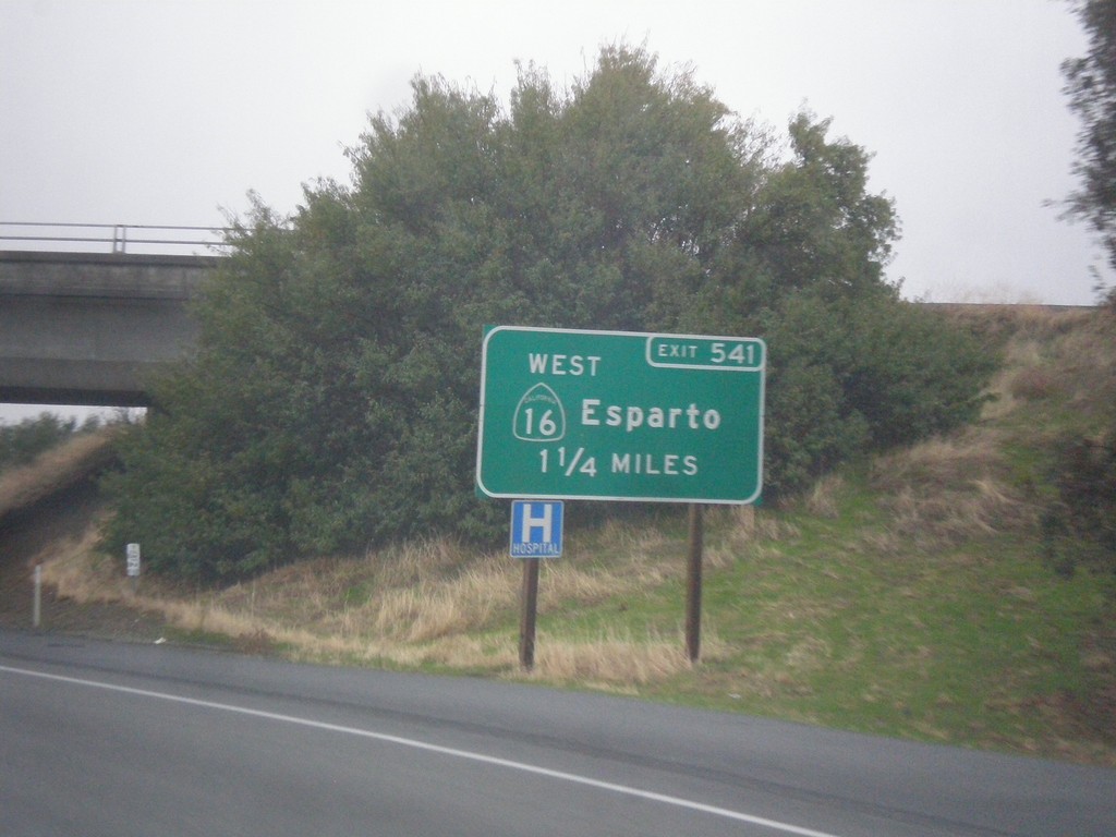
I-5 South - Exit 541
I-5 south approaching Exit 541 - CA-16 West/Esparto.
Taken 11-20-2017

 Yolo
Yolo County
California
United States
Yolo
Yolo County
California
United States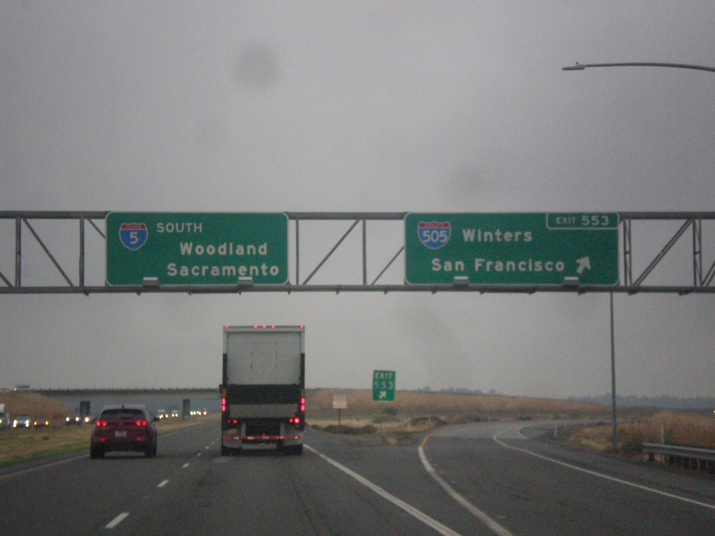
I-5 South at Exit 553
I-5 south at Exit 553 - I-505 South/Winters/San Francisco. Continue south on I-5 for Woodland and Sacramento.
Taken 11-20-2017

 Dunnigan
Yolo County
California
United States
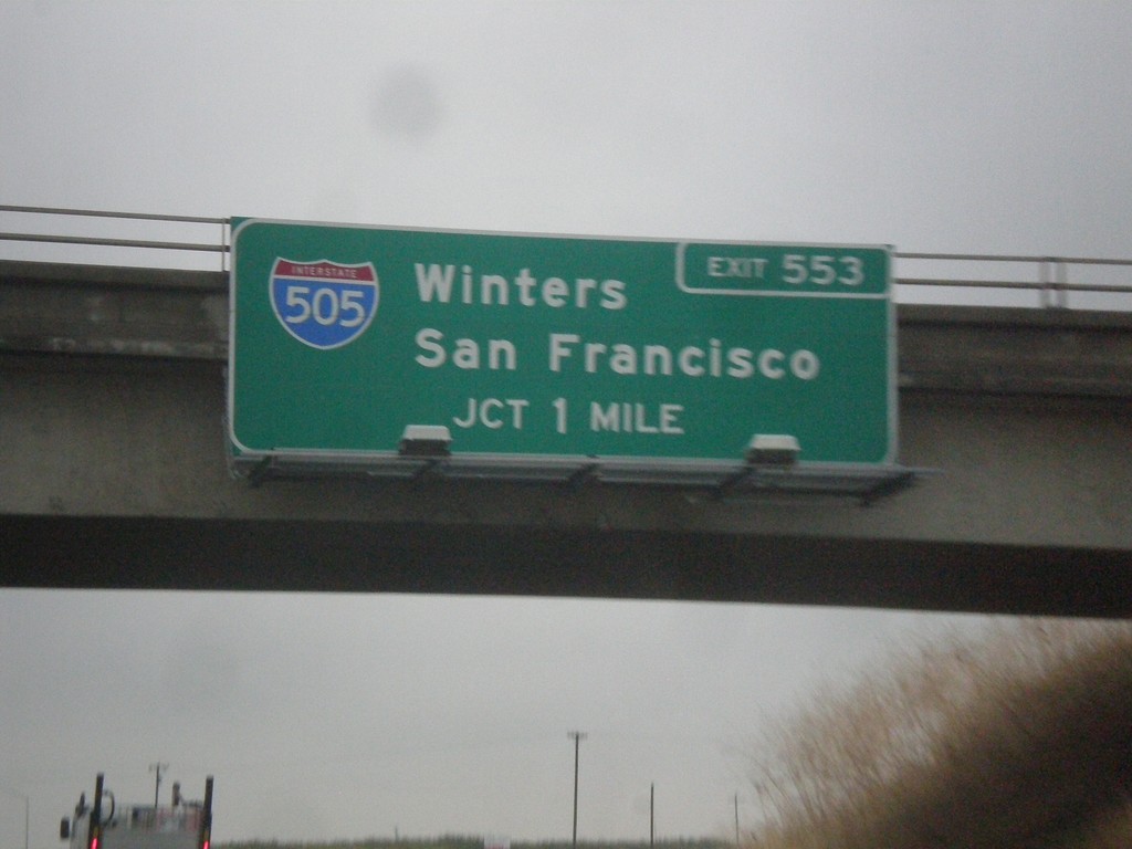
I-5 South - Exit 553
I-5 south approaching Exit 553 - I-505 South/Winters/San Francisco. I-505 is a short interstate connecting I-5 and I-80 at Vacaville.
Taken 11-20-2017
 Woodland
Yolo County
California
United States