County Boundary Signs In Idaho
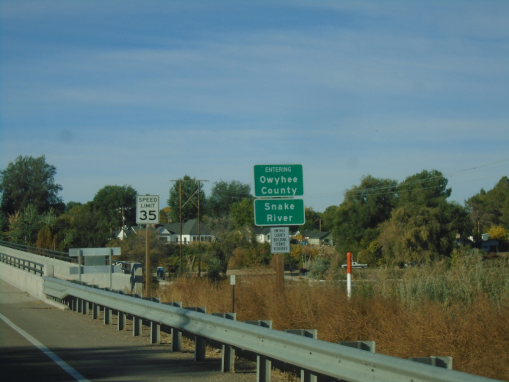
ID-55 South - Entering Owyhee County
ID-55 south - Entering Owyhee County/Snake River.
Taken 10-19-2024
 Caldwell
Canyon County
Idaho
United States
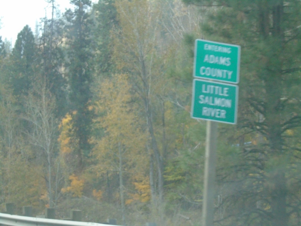
US-95 South - Entering Adams County
Entering Adams County on US-95 South at the Little Salmon River.
Taken 10-22-2023
 New Meadows
Adams County
Idaho
United States
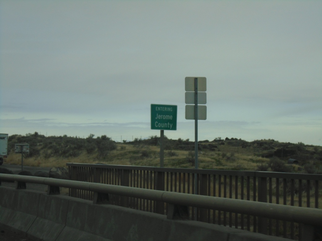
US-93 North - Entering Jerome County
Entering Jerome County on US-93 North
Taken 04-02-2023
 Jerome
 County
Idaho
United States
Jerome
Jerome County
Idaho
United States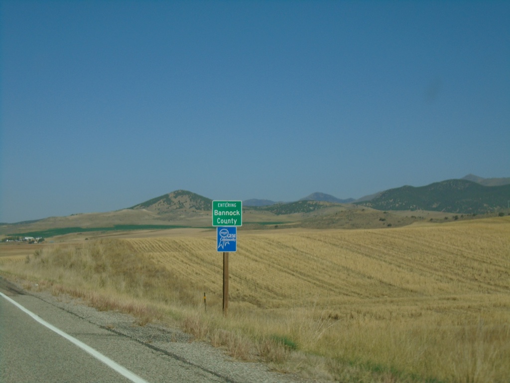
US-91 North - Bannock County
Entering Bannock County on US-91 north.
Taken 09-25-2021
 Swanlake
Bannock County
Idaho
United States
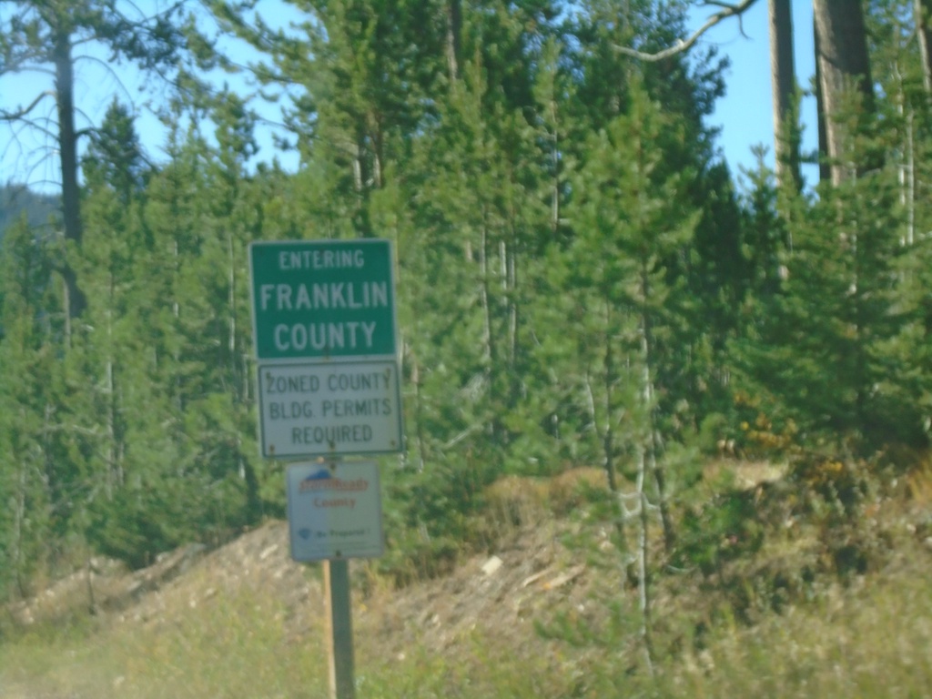
ID-36 West - Franklin County
Entering Franklin County on ID-36 west.
Taken 09-25-2021
 Montpelier
Franklin County
Idaho
United States
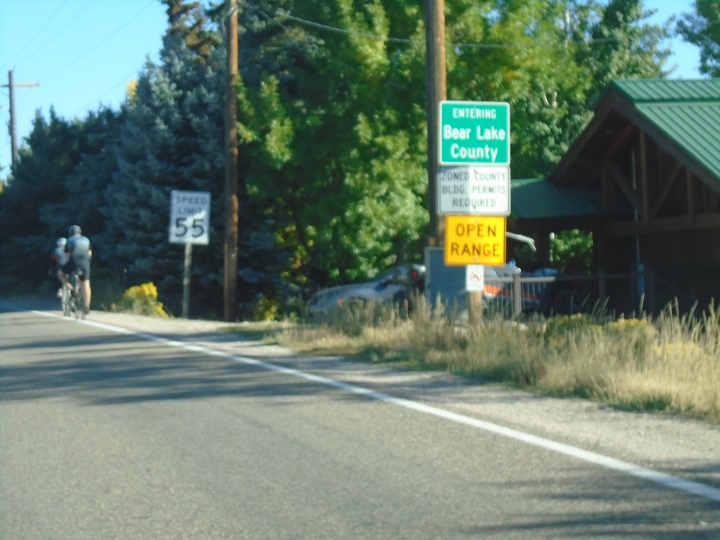
US-89 North - Bear Lake County
Entering Bear Lake County on US-89 North.
Taken 09-25-2021
 Fish Haven
Bear Lake County
Idaho
United States
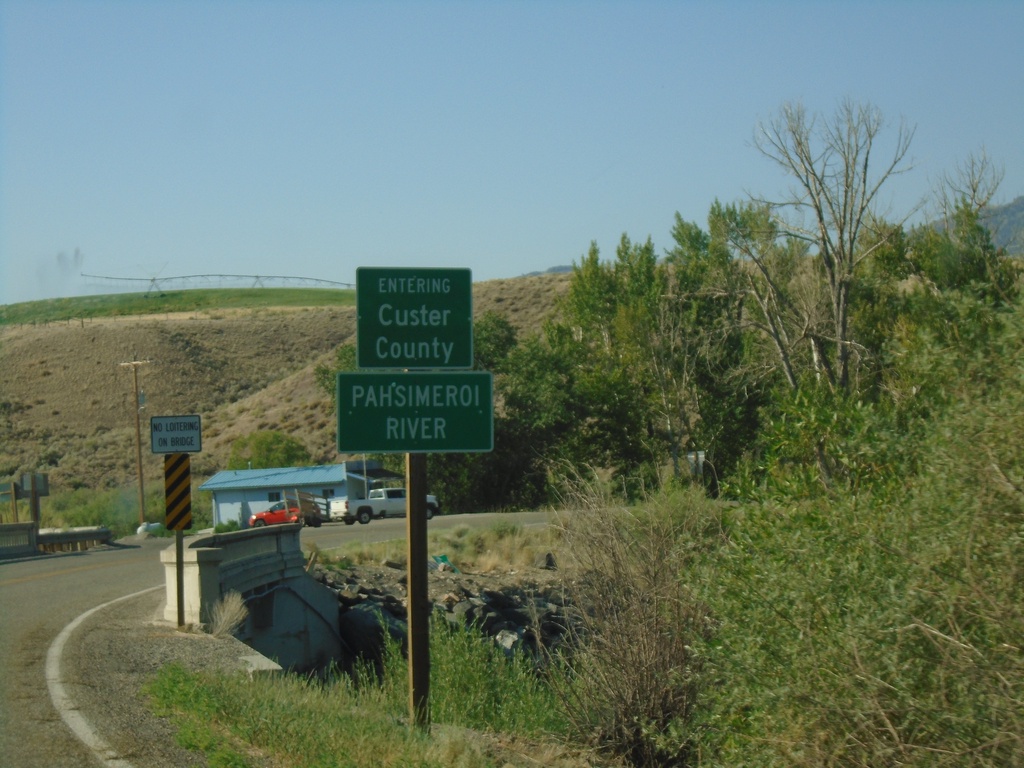
US-93 South - Custer County/Pahsimeroi River
US-93 South Entering Custer County at the Pahsimeroi River
Taken 07-03-2021
 Ellis
Custer County
Idaho
United States
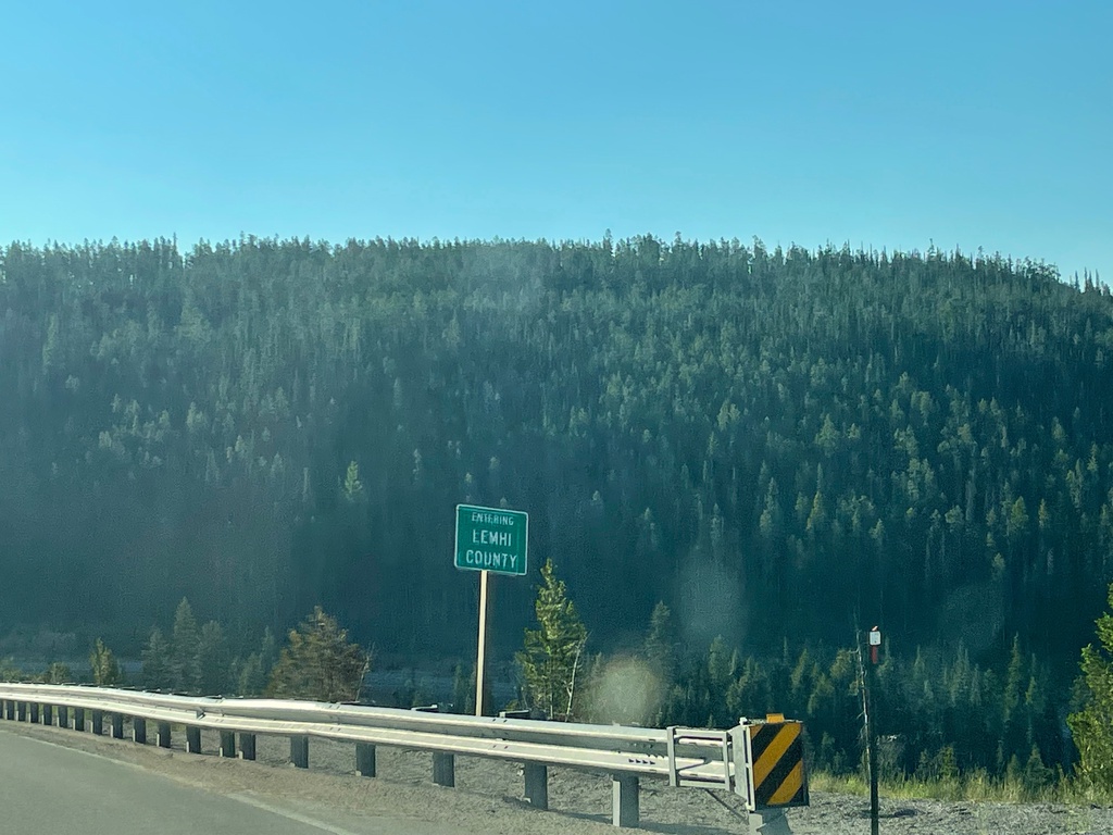
US-93 South - Lemhi County
Entering Lemhi County on US-93 south. Taken at the Idaho-Montana State Line at Lost Trail Pass.
Taken 07-03-2021
 Gibbonsville
Lemhi County
Idaho
United States
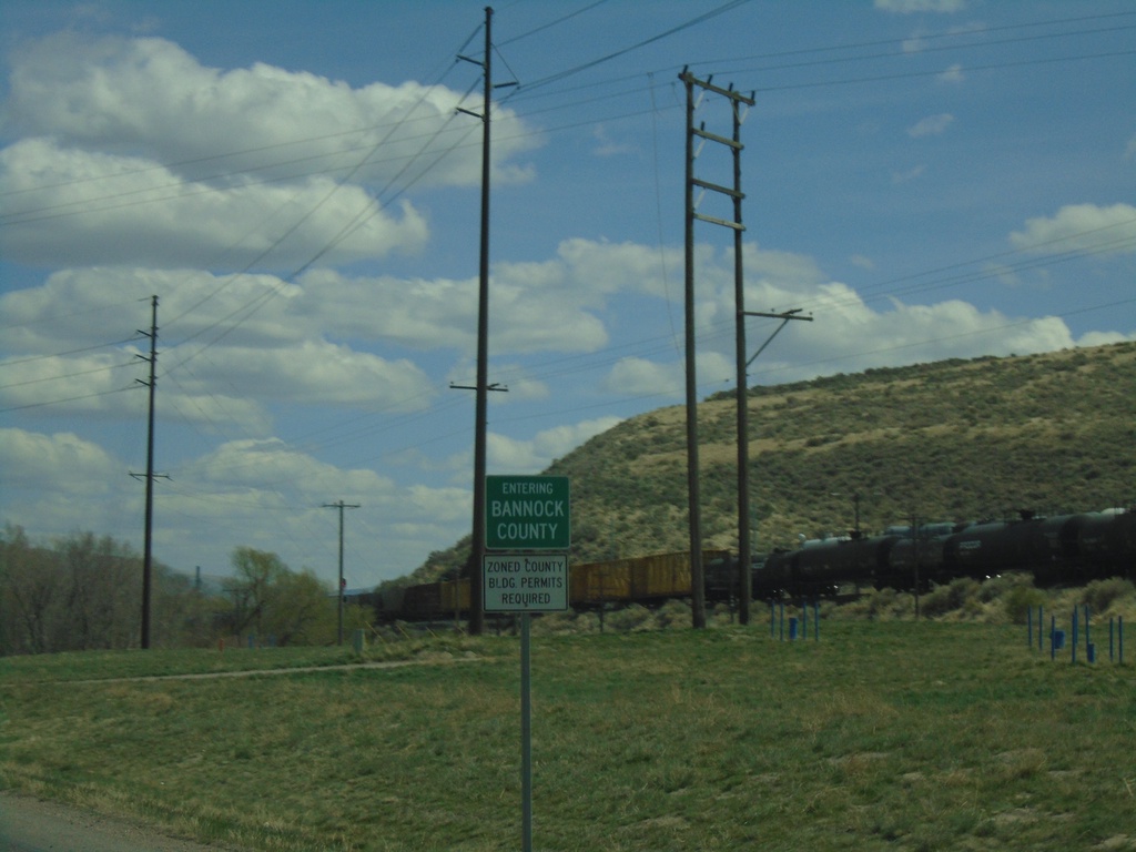
US-30 East - Bannock County
Entering Bannock County on US-30 east.
Taken 04-23-2021
 Pocatello
Bannock County
Idaho
United States
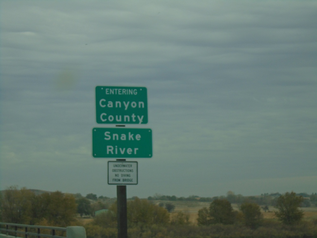
ID-55 North - Canyon County/Snake River
ID-55 north crossing the Snake River and entering Canyon County.
Taken 11-06-2020
 Marsing
Owyhee County
Idaho
United States