Unincorporated Boundary Signs In Idaho
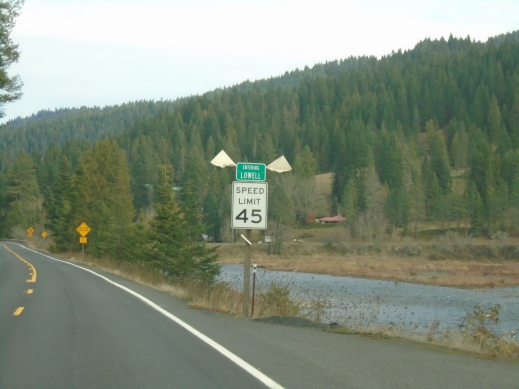
US-12 East - Lowell
Entering Lowell on US-12 east. Lowell is where the Lochsa and Selway Rivers combine to form the Clearwater River.
Taken 11-30-2024
 Kooskia
Idaho County
Idaho
United States
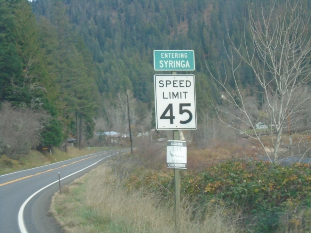
US-12 East - Syringa
Entering Syringa on US-12 east. Syringa is the Idaho state flower.
Taken 11-30-2024
 Kooskia
Idaho County
Idaho
United States
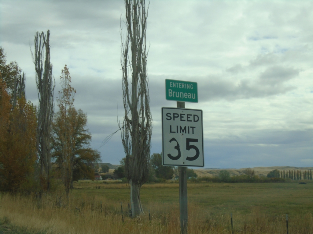
ID-51 North/ID-78 East - Bruneau
Entering Bruneau on ID-51 North/ID-78 East.
Taken 11-02-2024

 Bruneau
Owyhee County
Idaho
United States
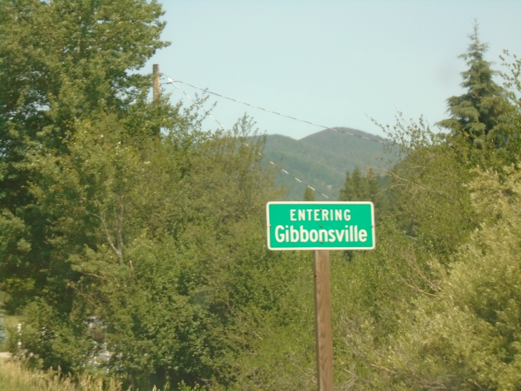
US-93 North - Gibbonsville
Entering Gibbonsville on US-93 north.
Taken 07-02-2021
 Gibbonsville
Lemhi County
Idaho
United States
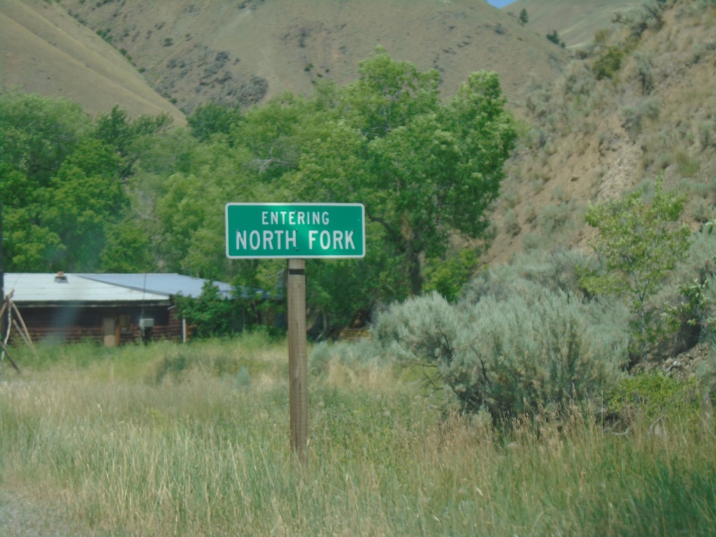
US-93 North - North Fork
Entering North Fork on US-93 north.
Taken 07-02-2021
 North Fork
Lemhi County
Idaho
United States
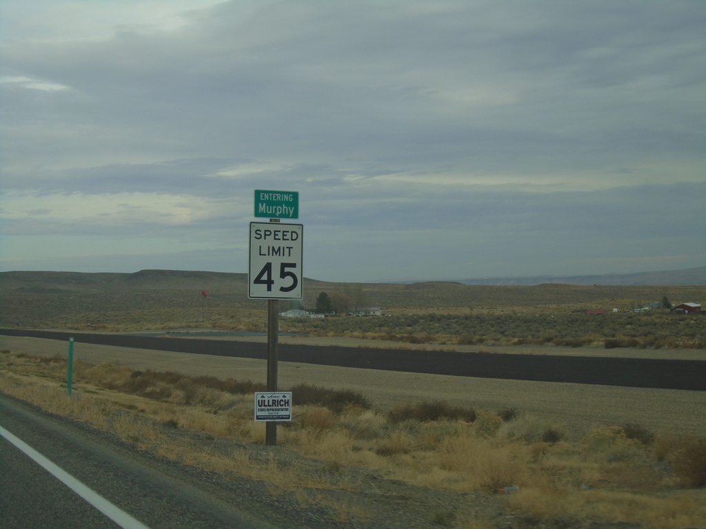
ID-78 West - Murphy
Entering Murphy (unincorporated) on ID-78 west. Murphy is the county seat of Owyhee County.
Taken 11-06-2020
 Murphy
Owyhee County
Idaho
United States
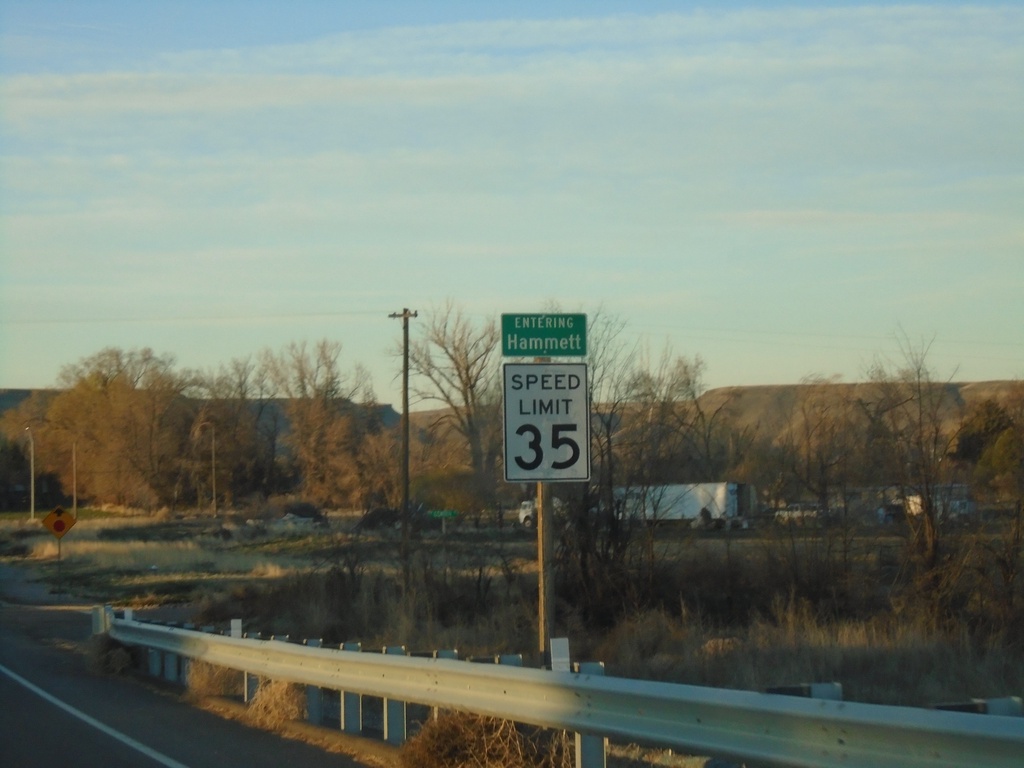
ID-78 West - Hammett
Entering Hammett on ID-78 west. Speed Limit 35 MPH.
Taken 04-04-2020
 Glenns Ferry
Elmore County
Idaho
United States
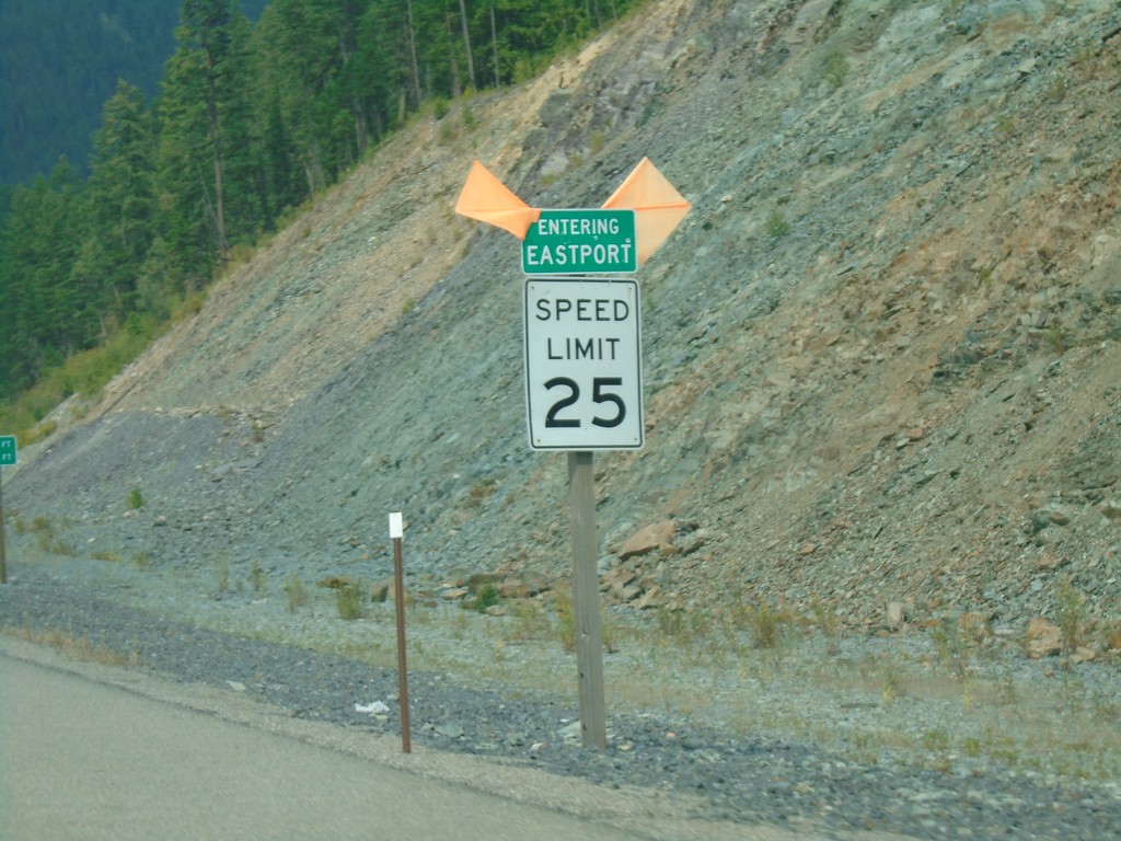
US-95 North - Eastport
Entering Eastport on US-95 north. Speed Limit 25 MPH.
Taken 08-05-2018
 Bonners Ferry
Boundary County
Idaho
United States
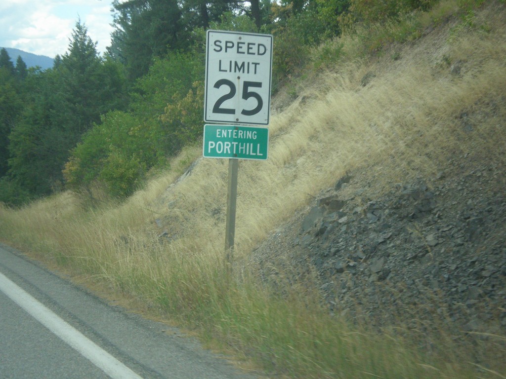
ID-1 North - Porthill
Entering Porthill on ID-1 north.
Taken 07-23-2017
 Bonners Ferry
Boundary County
Idaho
United States
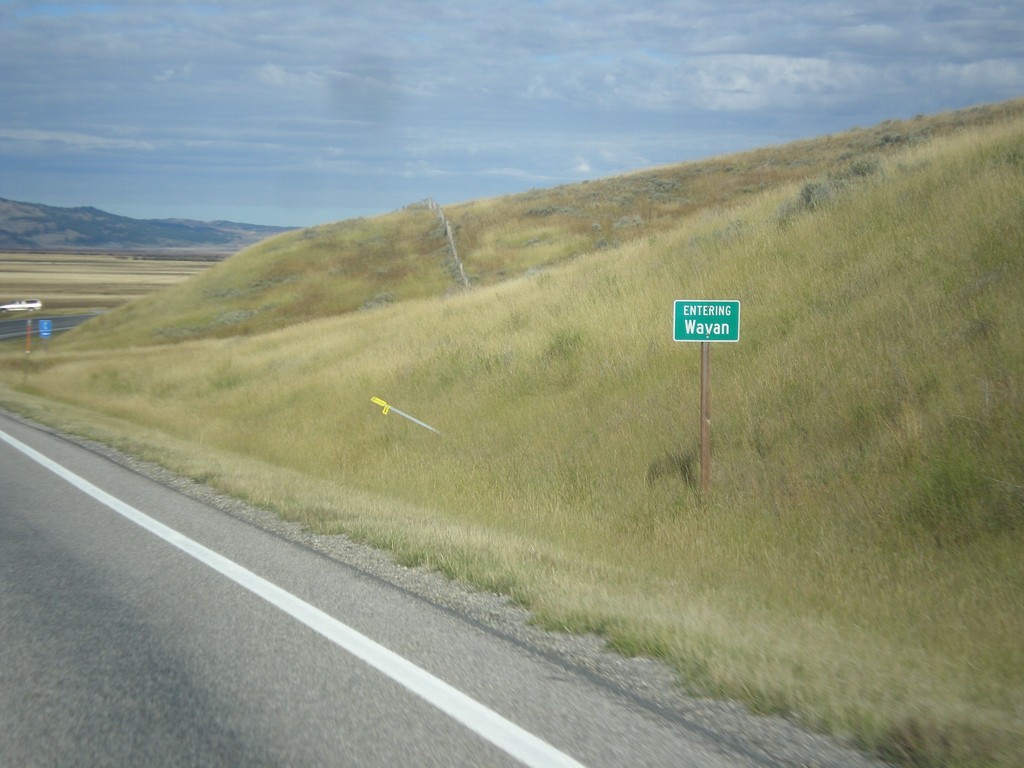
ID-34 South - Wayan
Entering Wayan on ID-34 south.
Taken 10-04-2015
 Wayan
Caribou County
Idaho
United States