Municipality Boundary Signs In Nebraska
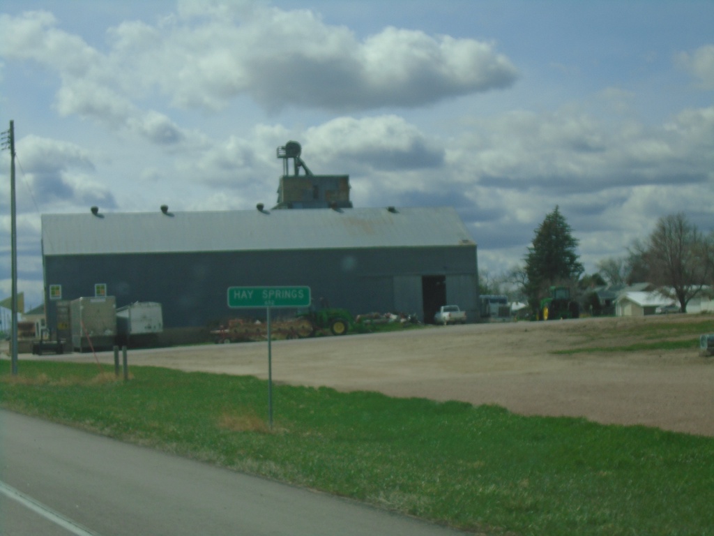
US-20 West/NE-87 South - Hay Springs
Entering Hay Springs on US-20 West/NE-87 South.
Taken 05-02-2022

 Hay Springs
Sheridan County
Nebraska
United States
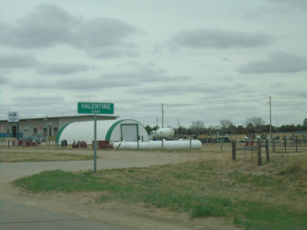
US-20 West/US-83 North - Valentine
Entering Valentine on US-20 West/US-83 North. Valentine is the county seat of Cherry County.
Taken 05-02-2022

 Valentine
Cherry County
Nebraska
United States
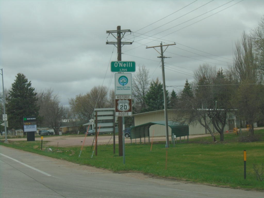
US-20/US-275 West - O'Neill
Entering O’Neill on US-20/US-275 West. O’Neill is the county seat of Holt County. A historic US-20 route marker is also displayed below the city limit sign. This marker is seen along US-20 in central and western Nebraska.
Taken 05-02-2022

 O'Neill
Holt County
Nebraska
United States
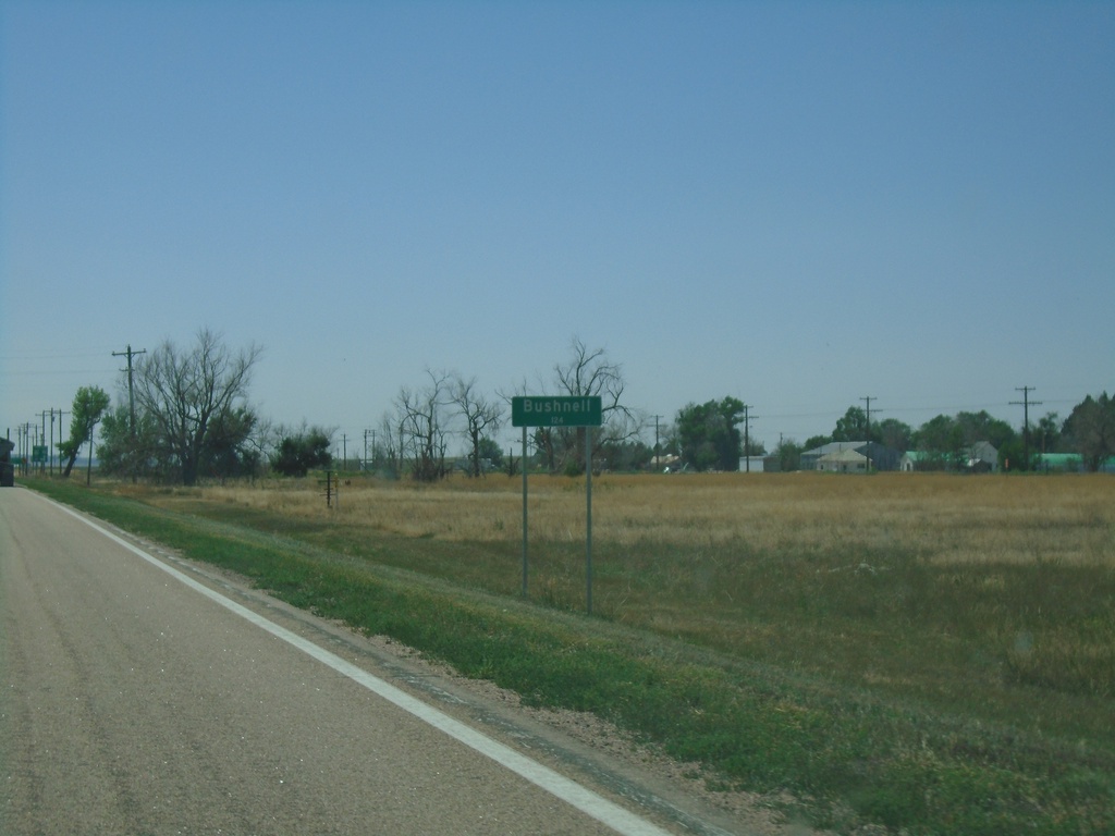
US-30 West - Bushnell
Entering Bushnell on US-30 West. Population 124.
Taken 08-14-2020
 Bushnell
Kimball County
Nebraska
United States
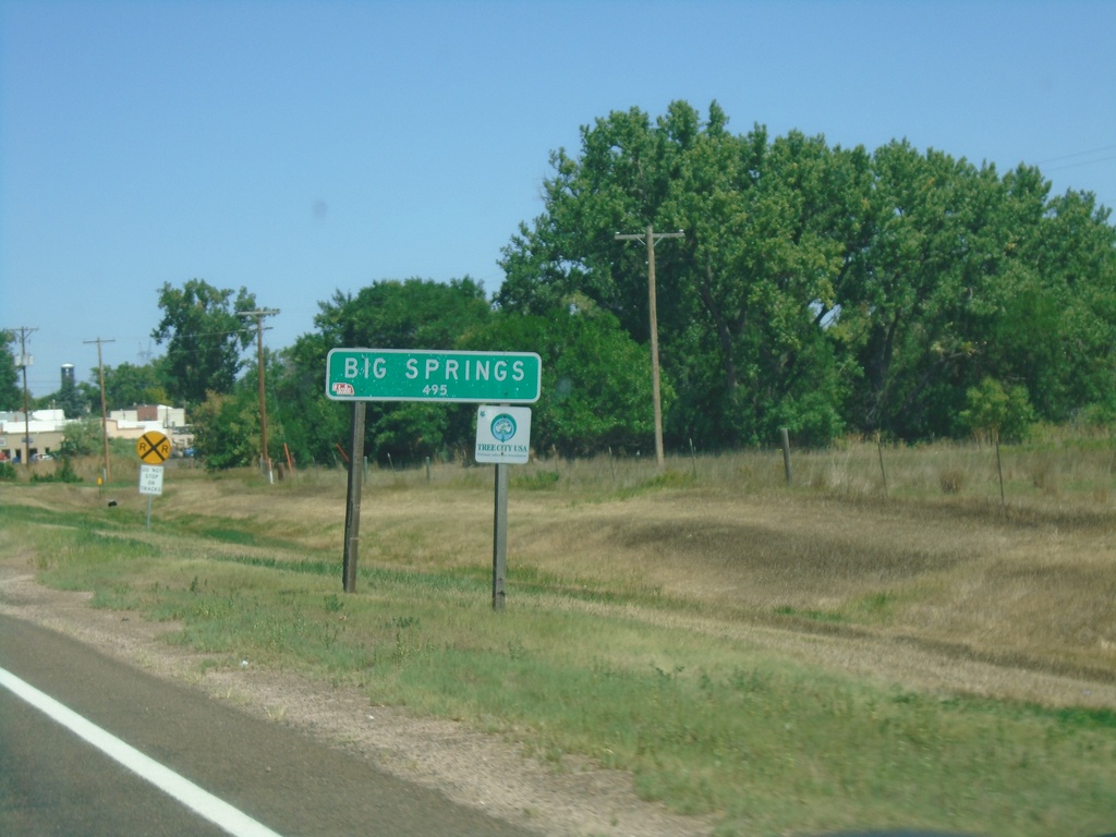
NE-25B Link North - Big Springs
Entering Big Springs on NE-25B Link North. Population 495.
Taken 08-14-2020
 Big Springs
Deuel County
Nebraska
United States
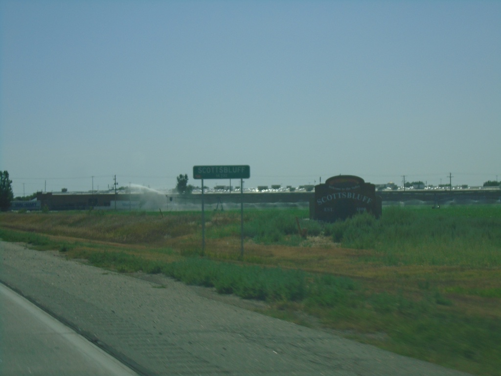
US-26/NE-92 East - Scottsbluff
Entering Scottsbluff on US-26/NE-92 East. Population 14,732.
Taken 08-14-2020

 Scottsbluff
Scotts Bluff County
Nebraska
United States
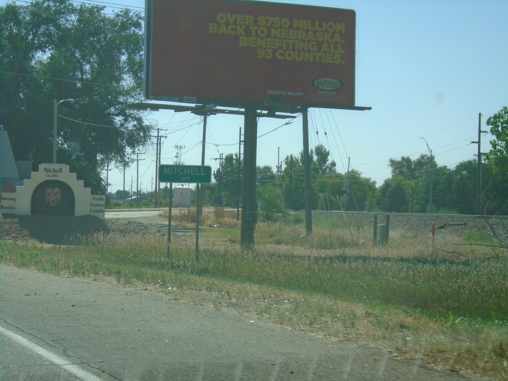
US-26 East - Mitchell
Entering Mitchell on US-26 East. Population 1831.
Taken 08-14-2020
 Mitchell
Scotts Bluff County
Nebraska
United States
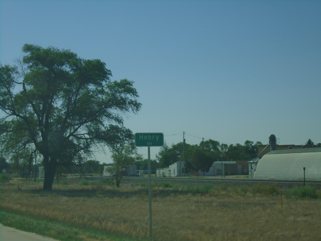
US-26 East - Henry
Entering Henry on US-26 East - Population 106.
Taken 08-14-2020
 Morrill
Scotts Bluff County
Nebraska
United States