Municipality Boundary Signs In Nevada
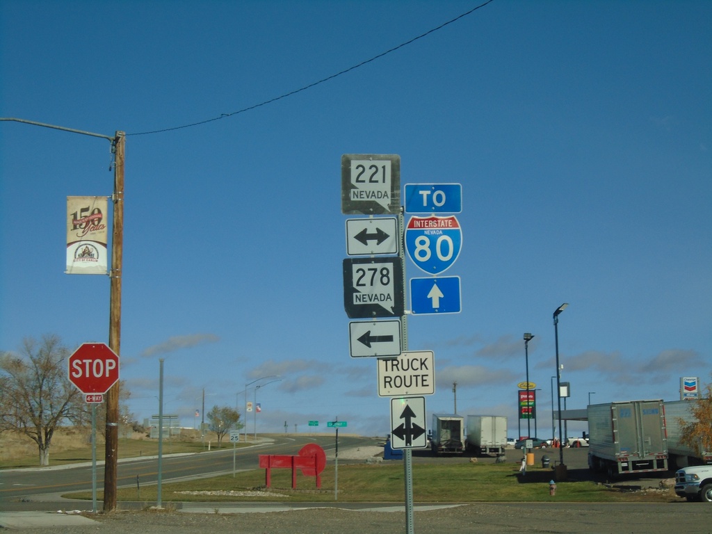
10th St. North at Chestnut St.
10th St. northbound at Chestnut St. (BL-80/NV-221) in Carlin. Use westbound Chestnut St. for NV-278. Continue north on 10th St. (NV-766) for I-80.
Taken 10-20-2019


 Carlin
Elko County
Nevada
United States
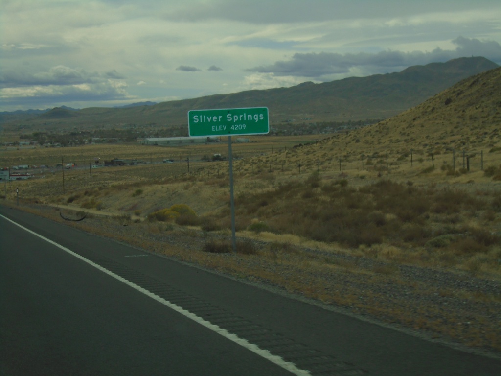
Alt. US-50 West/Alt. US-95 South - Silver Springs
Entering Silver Springs on Alt. US-50 West/Alt. US-95 South
Taken 10-19-2019


 Silver Springs
Lyon County
Nevada
United States
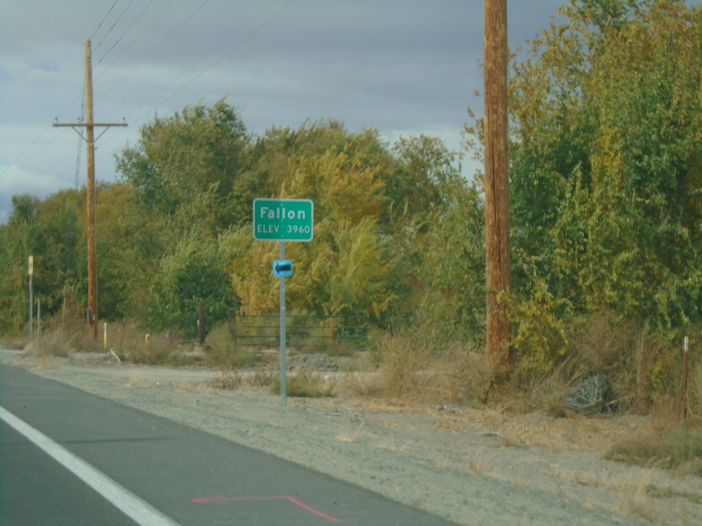
US-50 West - Fallon
Entering Fallon on US-50 west. Elevation 3960 Feet.
Taken 10-19-2019
 Fallon
Churchill County
Nevada
United States
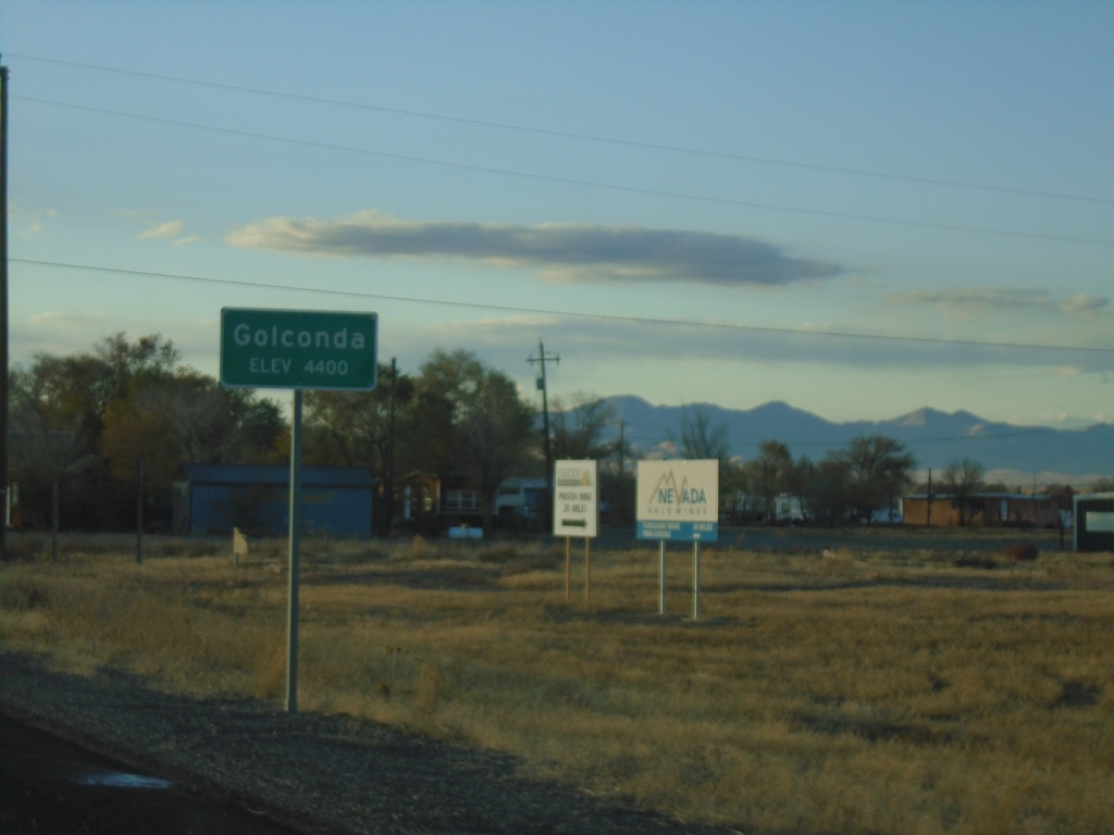
NV-789 South - Entering Golconda
Entering Golconda on NV-789 South. Elevation 4400 Feet.
Taken 10-18-2019
 Golconda
Humboldt County
Nevada
United States
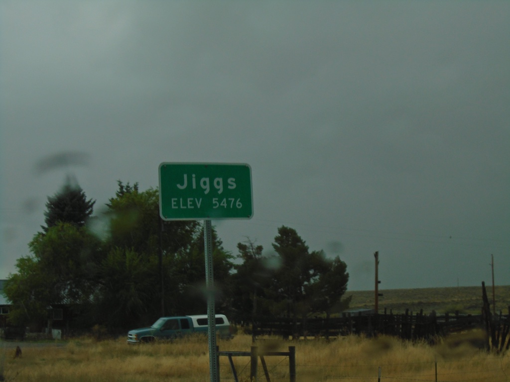
NV-228 South - Jiggs
Entering Jiggs on NV-228 south. Elevation 5476 Feet.
Taken 09-28-2019
 Spring Creek
Elko County
Nevada
United States
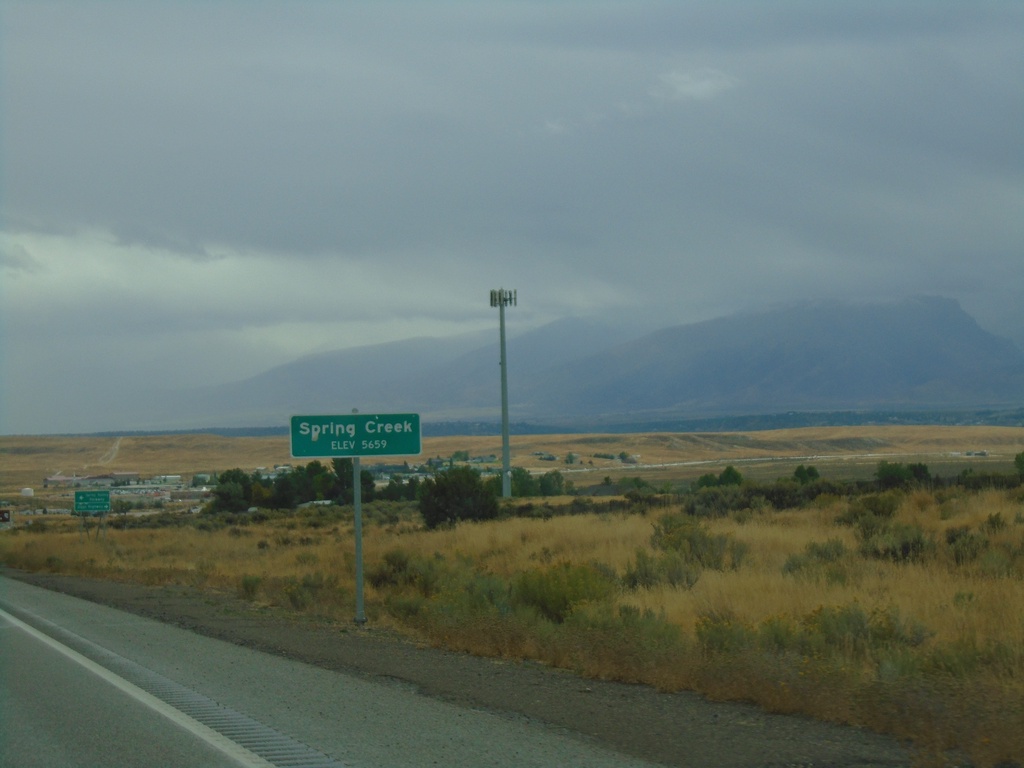
NV-227 East - Spring Creek
Entering Spring Creek - Elevation 5659 Feet on NV-227 East.
Taken 09-28-2019
 Spring Creek
Elko County
Nevada
United States
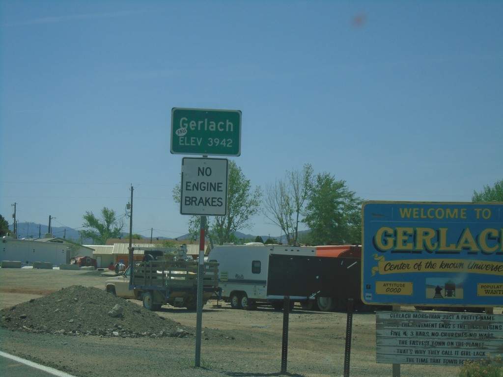
NV-447 North - Gerlach
Entering Gerlach on NV-447 North.
Taken 04-27-2019
 Gerlach
Washoe County
Nevada
United States
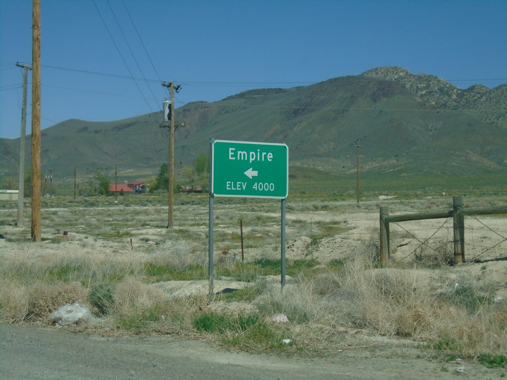
NV-447 North - Empire
NV-447 north at Empire.
Taken 04-27-2019
 Empire
Washoe County
Nevada
United States
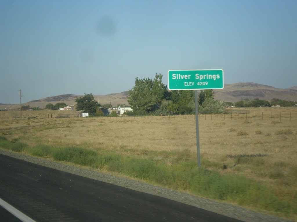
US-50 East - Silver Springs
Entering Silver Springs on US-50 east.
Taken 08-15-2016
 Silver Springs
Lyon County
Nevada
United States
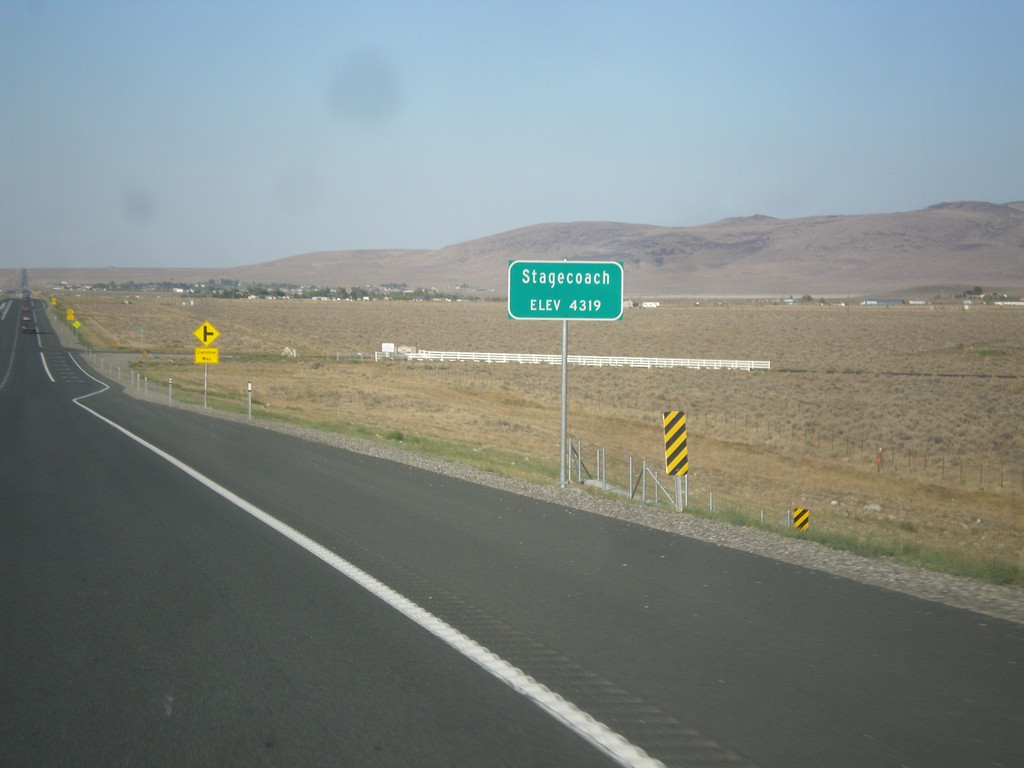
US-50 East - Stagecoach
Entering Stagecoach on US-50 east.
Taken 08-15-2016
 Silver Springs
Lyon County
Nevada
United States