Municipality Boundary Signs In Nevada
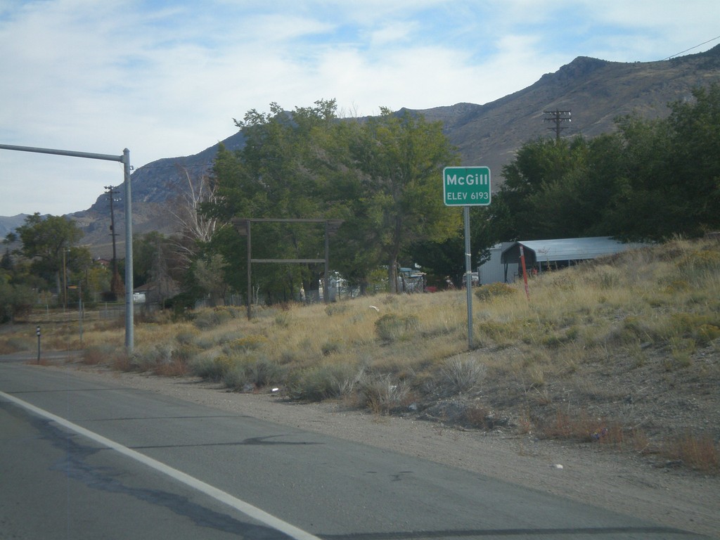
US-93 North - Mc Gill
Entering Mc Gill - Elevation 6193 Feet, on US-93 north.
Taken 10-15-2011
 Ely
White Pine County
Nevada
United States
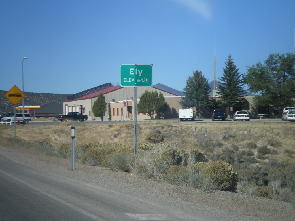
US-93 North - Entering Ely
Entering Ely - Elevation 6435 on US-93 North. Ely is the county seat of White Pine County.
Taken 10-14-2011


 Ely
White Pine County
Nevada
United States
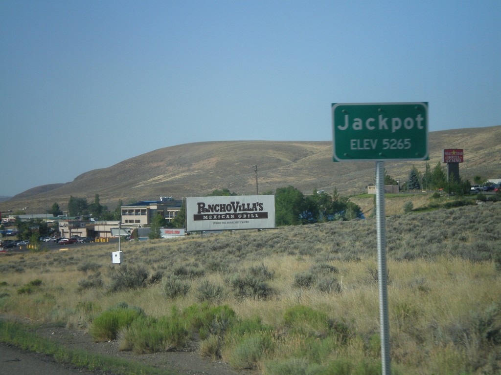
US-93 South - Jackpot
Entering Jackpot on US-93 south. Jackpot lies right on the Idaho-Nevada border, and is home to several casinos.
Taken 07-31-2010
 Jackpot
Elko County
Nevada
United States
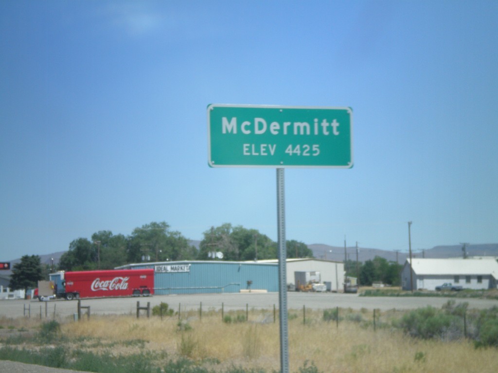
US-95 North - Entering McDermitt
Entering McDermitt - Elevation 4425. McDermitt is located along the Nevada-Oregon border.
Taken 07-13-2010
 McDermitt
Humboldt County
Nevada
United States
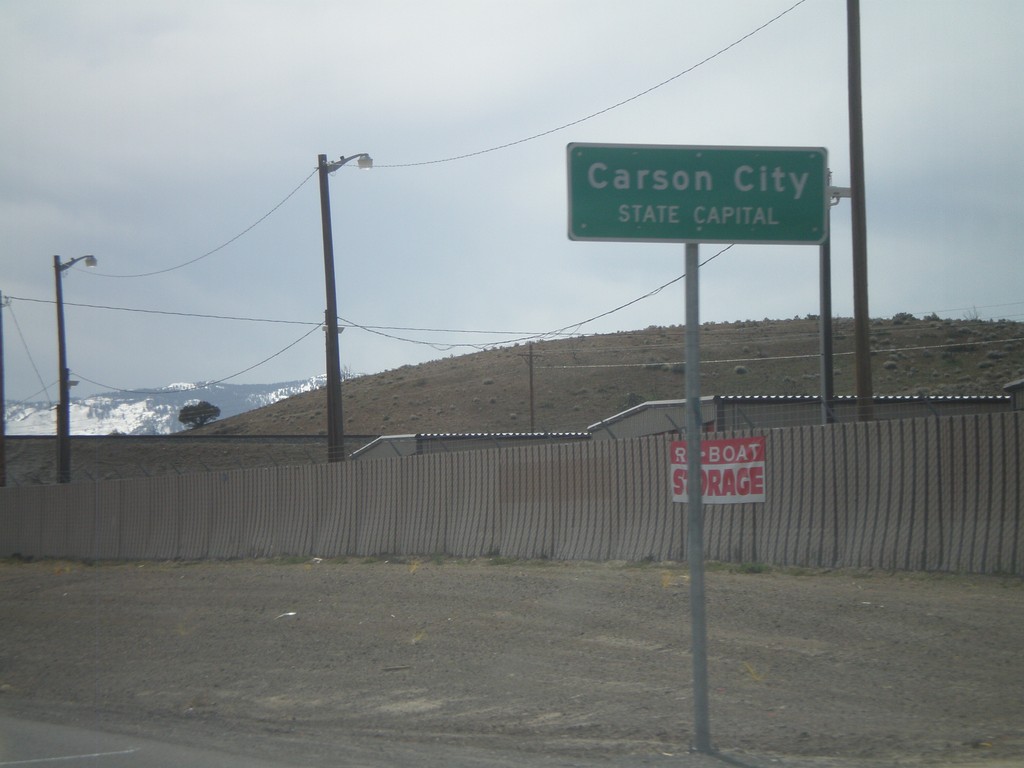
US-50 West - Entering Carson City
US-50 west at the Lyon County - Carson City line. When entering all other counties in Nevada, the county name is above the words County Line. In Carson City, the County Line is replaced with State Capitol.
Taken 04-15-2010
 Mound House
Lyon County
Nevada
United States
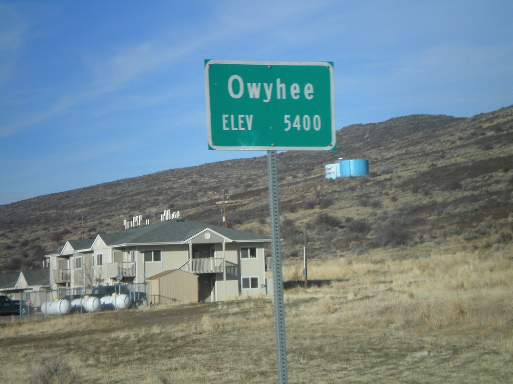
NV-225 North - Entering Owyhee
Entering Owyhee, Nevada on NV-225 north. Elevation 5400 feet. Owyhee is on the Duck Valley Indian Reservation.
Taken 11-24-2007
 Owyhee
Elko County
Nevada
United States
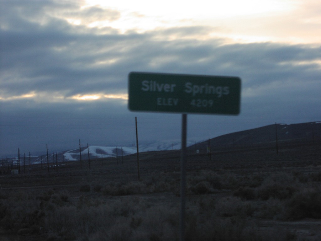
US-50 West - Silver Springs
Entering Silver Springs on US-50 west.
Taken 02-01-2005
 Silver Springs
Lyon County
Nevada
United States
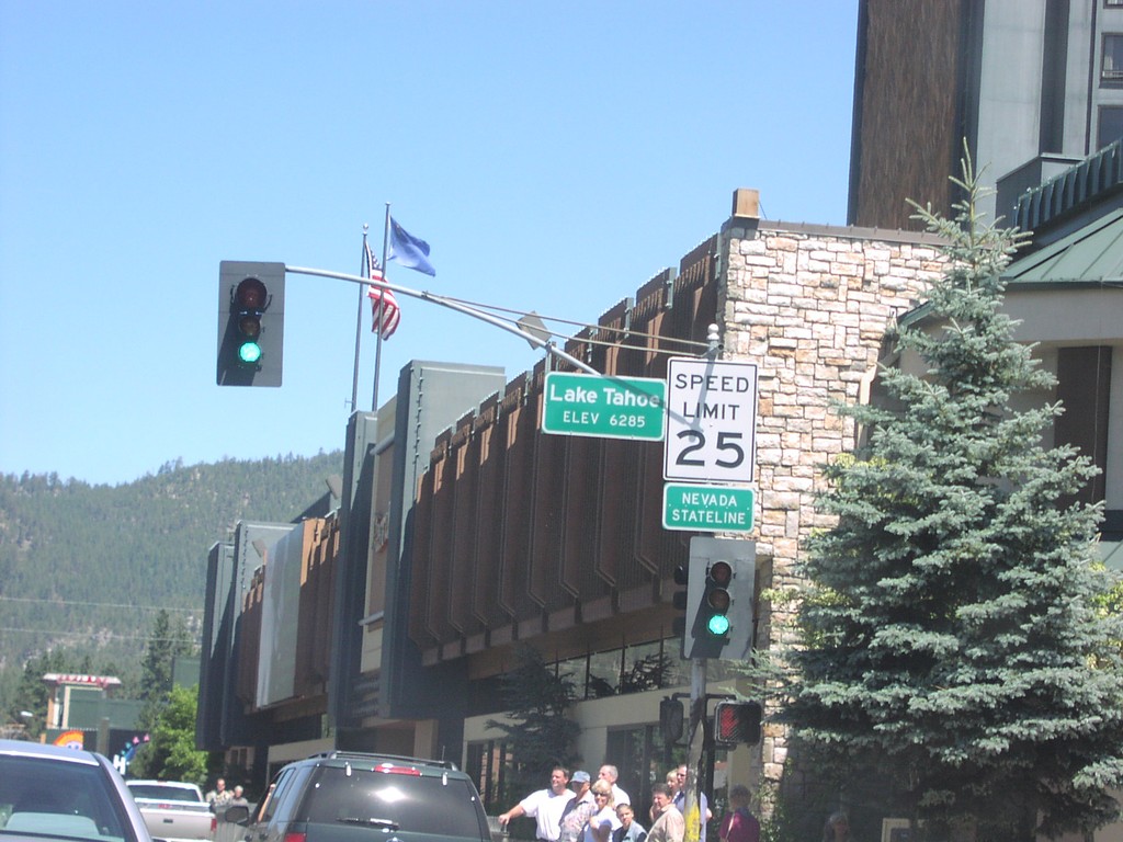
US-50 East - Nevada State Line
US-50 east at the California-Nevada state line.
Taken 08-01-2003
 Stateline
Douglas County
Nevada
United States