Shield Inside Sign Signs In New Mexico
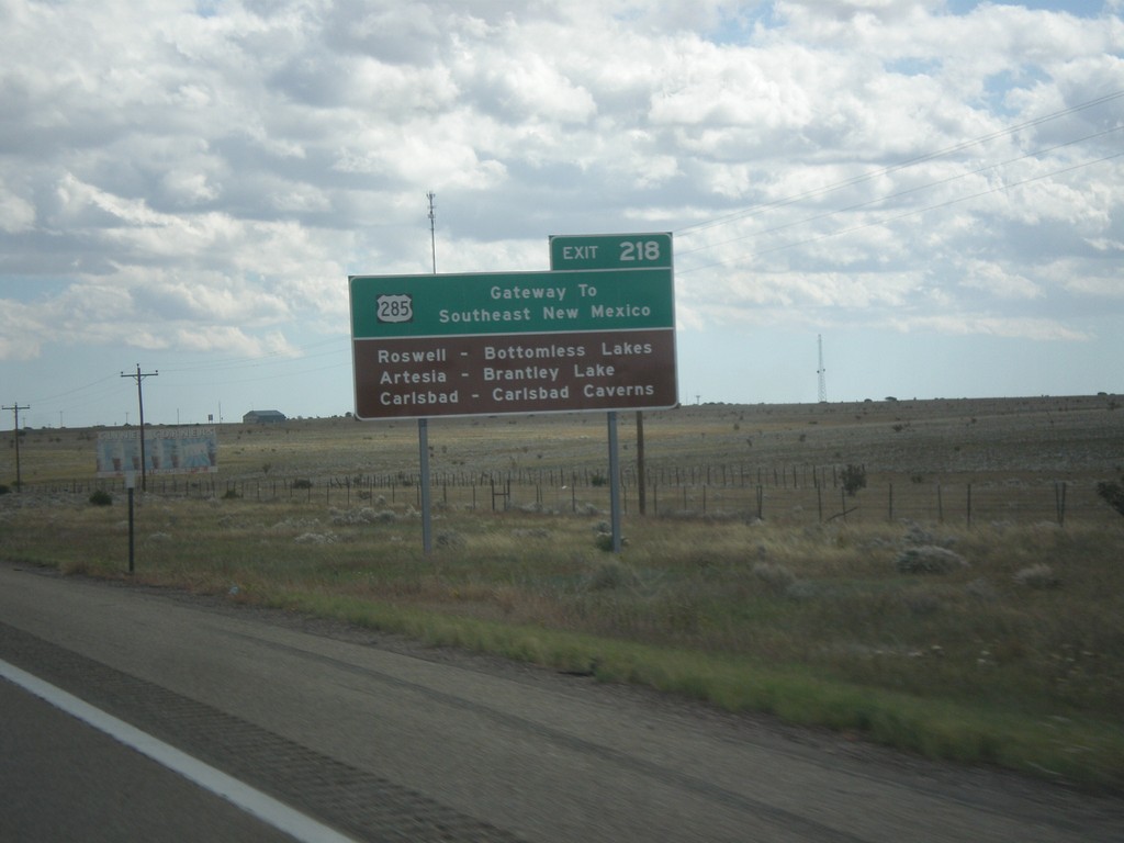
I-40 East - Gateway To Southeast New Mexico
I-40 east approaching Exit 218. US-285 - Gateway to Southeast New Mexico. Use US-285 south for Roswell, Artesia, and Carlsbad.
Taken 10-10-2013

 Clines Corners
Torrance County
New Mexico
United States
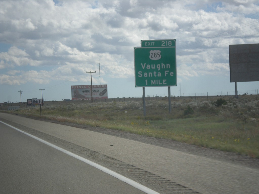
I-40 East Approaching Exit 218
I-40 east approaching Exit 218 - US-285/Santa Fe/Vaughn.
Taken 10-10-2013

 Clines Corners
Torrance County
New Mexico
United States
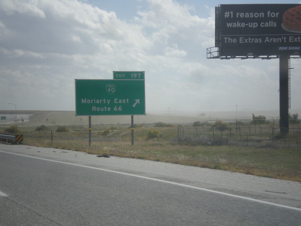
I-40 East - Exit 198
I-40 east at Exit 198 - BL-40/Moriarty East/Route 66. This is the eastern end of the Moriarty business loop.
Taken 10-10-2013

 Moriarty
Torrance County
New Mexico
United States
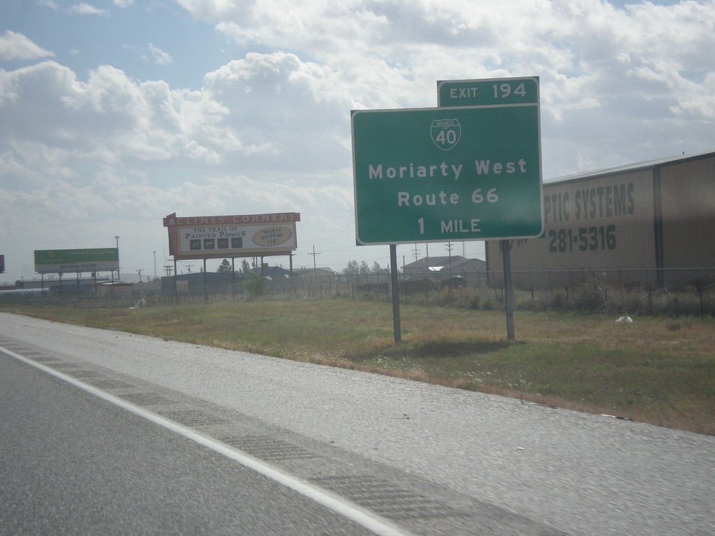
I-40 East Approaching Exit 194
I-40 east approaching Exit 194 - BL-40/Moriarty West/Route 66.
Taken 10-10-2013

 Moriarty
Torrance County
New Mexico
United States
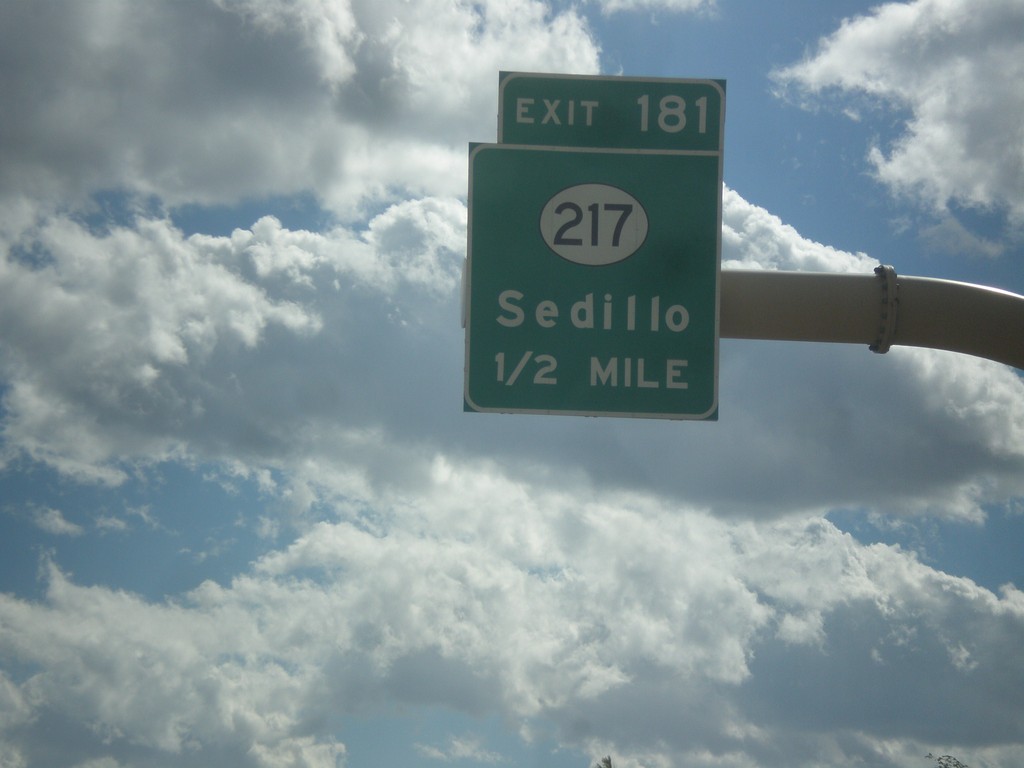
I-40 East - Exit 181
I-40 east approaching Exit 181 - NM-217/Sedillo.
Taken 10-10-2013

 Tijeras
Bernalillo County
New Mexico
United States
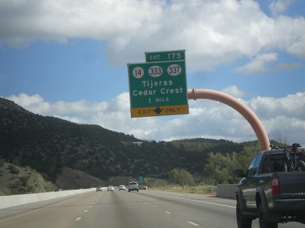
I-40 East - Exit 175
I-40 east at Exit 175 - NM-14/NM-333/NM-337/Tijeras/Cedar Crest. Use NM-14 for the Turquoise Trail National Scenic Byway and the Sandia Crest Ski Area.
Taken 10-10-2013


 Cedar Crest
Bernalillo County
New Mexico
United States
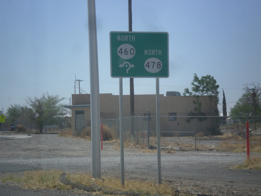
NM-478 South at NM-478/NM-460 Roundabout
NM-478/NM-478 roundabout on NM-478 south.
Taken 04-15-2013

 Anthony
Doña Ana County
New Mexico
United States
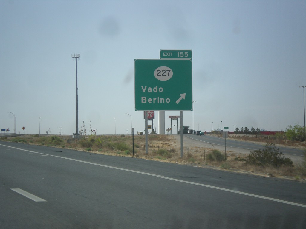
I-10 East - Exit 155
I-10 east at Exit 155 - NM-227/Vado/Berino.
Taken 04-15-2013

 Mesquite
Doña Ana County
New Mexico
United States
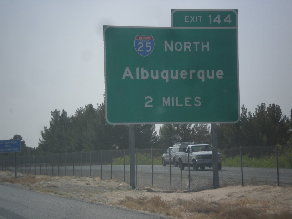
I-10 East Approaching I-25
I-10 east approaching Exit 144 - I-25 North/Albuquerque.
Taken 04-15-2013

 Las Cruces
Doña Ana County
New Mexico
United States
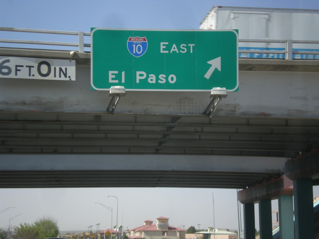
NM-28 South at I-10 East
NM-28 south at I-10 east to El Paso (Exit 140).
Taken 04-15-2013

 Las Cruces
Doña Ana County
New Mexico
United States