Shield Inside Sign Signs In New Mexico
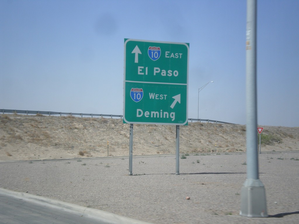
NM-28 South at I-10
NM-28 south at I-10 (Exit 140). Merge right for I-10 west to Deming; continue under freeway for I-10 east to El Paso.
Taken 04-15-2013

 Las Cruces
Doña Ana County
New Mexico
United States
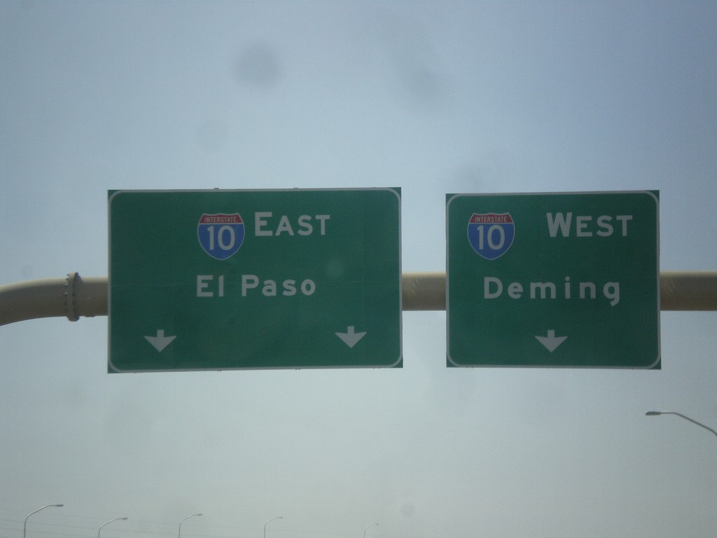
End I-25 South at I-10
End I-25 south at I-10. Merge right for I-10 west to Deming; merge left for I-10 east to El Paso.
Taken 04-15-2013

 Las Cruces
Doña Ana County
New Mexico
United States
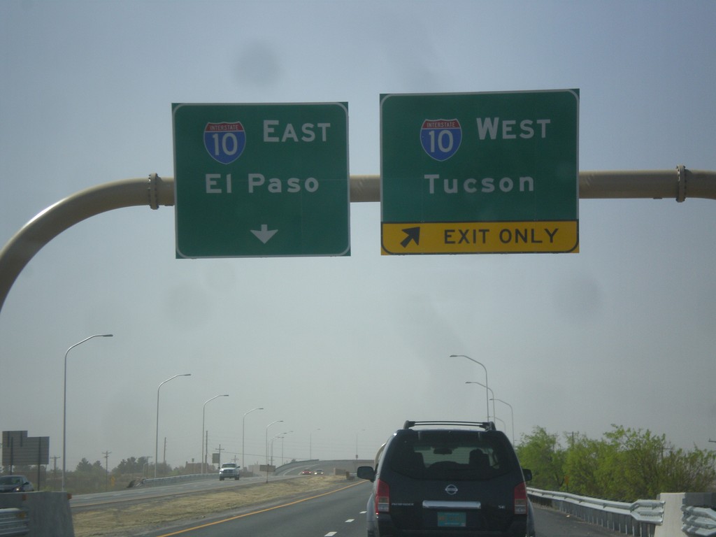
I-25 South Approaching I-10
I-25 south approaching I-10 jct. Use right lanes for I-10 west to Tucson; left lanes for I-10 east to El Paso.
Taken 04-15-2013

 Las Cruces
Doña Ana County
New Mexico
United States
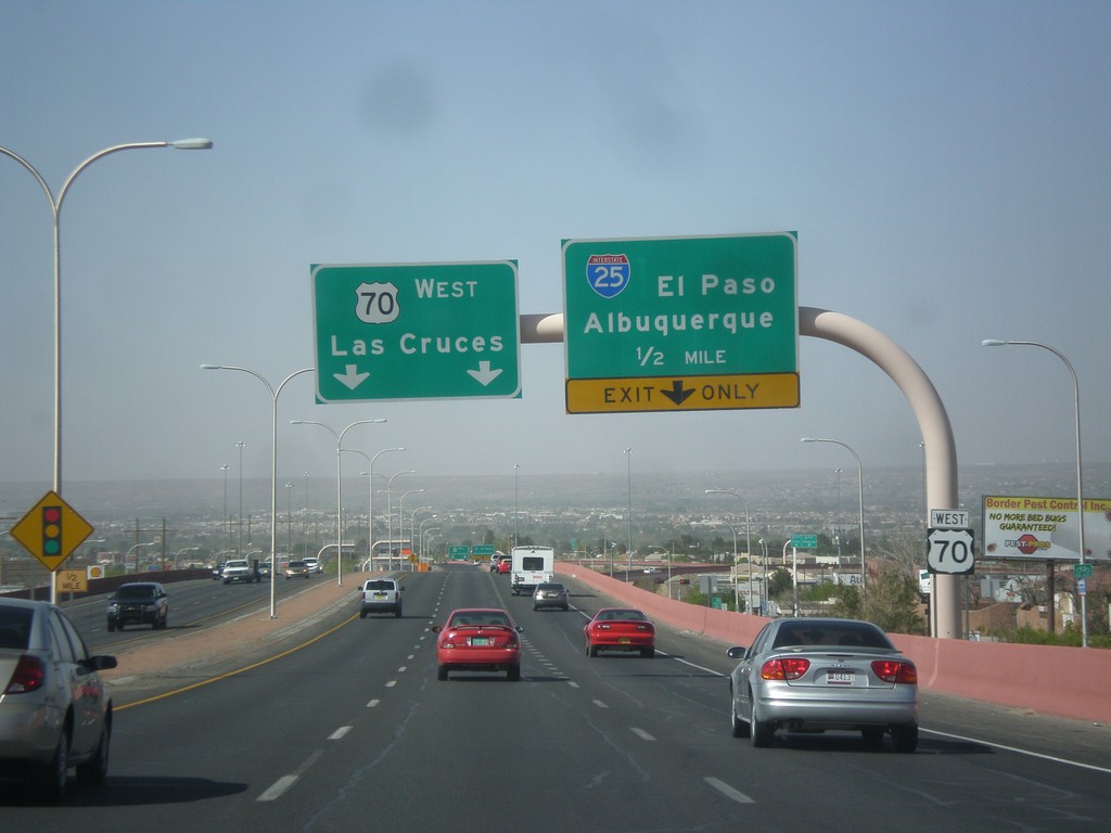
US-70 West Approaching I-25
US-70 west approaching I-25 to El Paso and Albuquerque. Continue west on US-70 for Las Cruces.
Taken 04-15-2013

 Las Cruces
Doña Ana County
New Mexico
United States
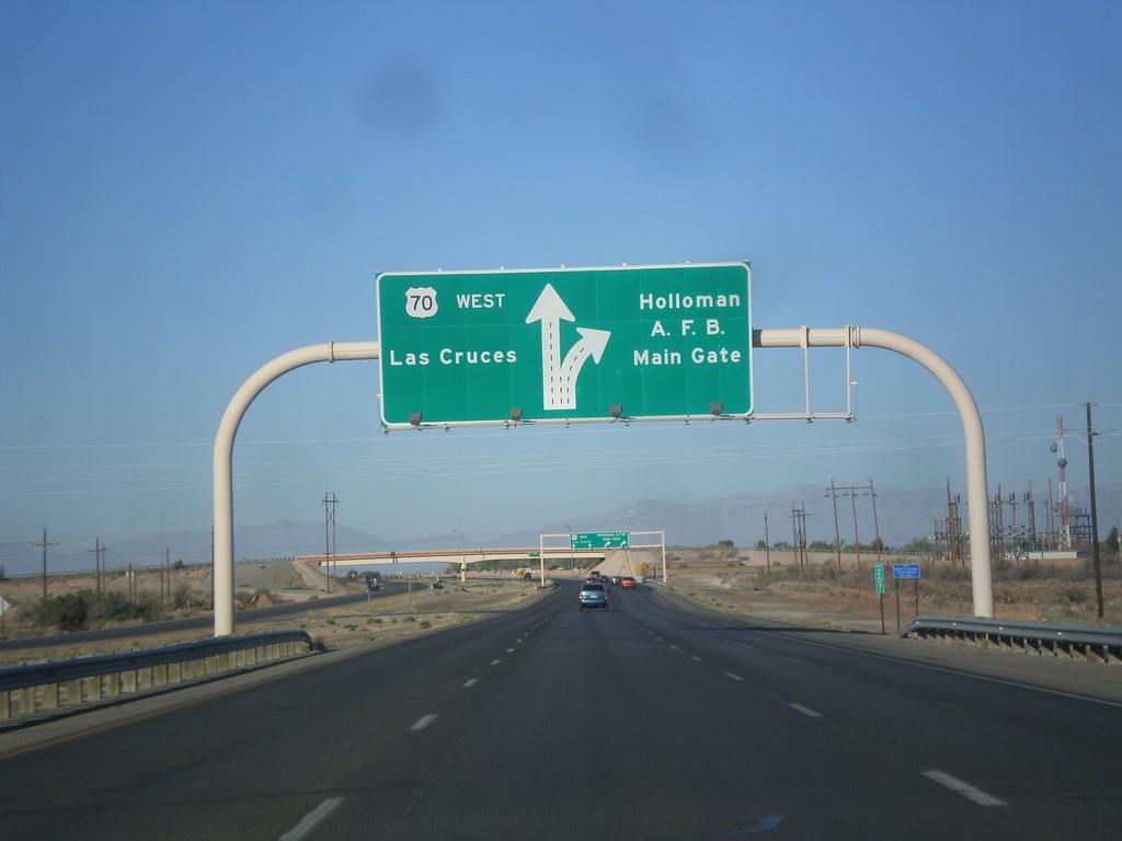
US-70 West - Holloman AFB Main Gate IC
US-70 west approaching Holloman AFB Main Gate interchange. US-70 continues west towards Las Cruces.
Taken 04-15-2013
 Holloman Air Force Base
Otero County
New Mexico
United States
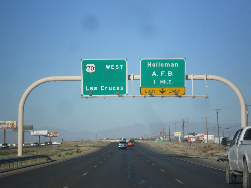
US-70 West - Holloman AFB IC
US-70 west approaching Holloman AFB Main Gate interchange. US-70 continues west towards Las Cruces.
Taken 04-15-2013
 Alamogordo
Otero County
New Mexico
United States
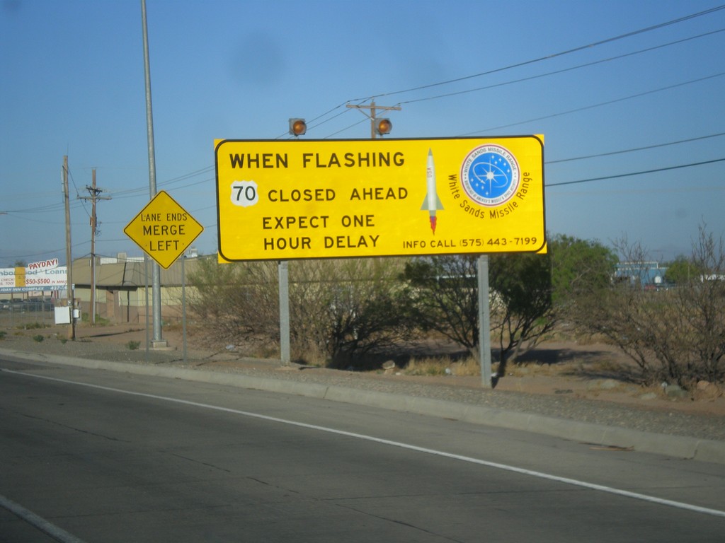
US-70 West - White Sands Missile Range Warning
Warning on US-70 west leaving Alamogordo: When flashing US-70 closed ahead. Expect one hour delay.
Taken 04-15-2013
 Alamogordo
Otero County
New Mexico
United States
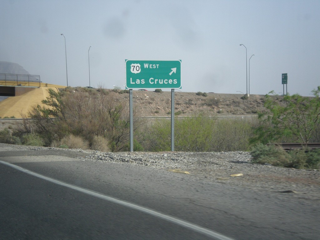
US-70 West/US-54 South at US-70 West
US-54 South/US-70 West (Relief Route) at US-70 West exit to Las Cruces.
Taken 04-15-2013

 Alamogordo
Otero County
New Mexico
United States
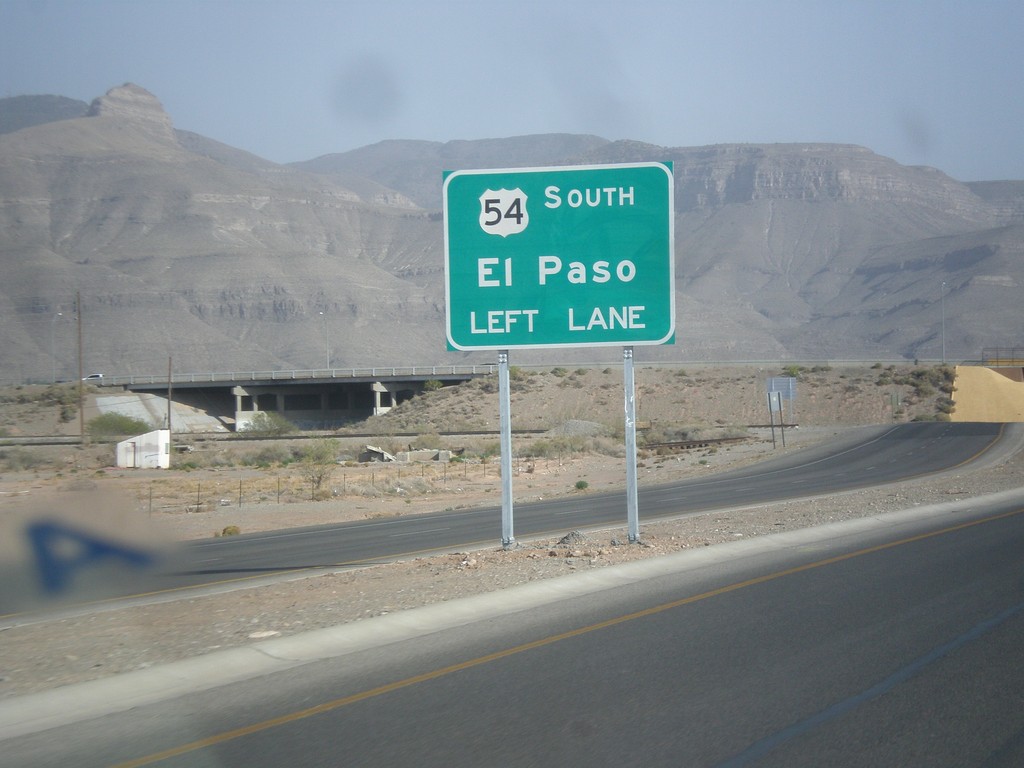
US-54 South/US-70 West - US-70/US-54 Split
US-70/US-54 Split on US-70 West/US-54 South (Alamogordo Relief Route). Use left lanes for US-54 south to El Paso.
Taken 04-15-2013

 Alamogordo
Otero County
New Mexico
United States
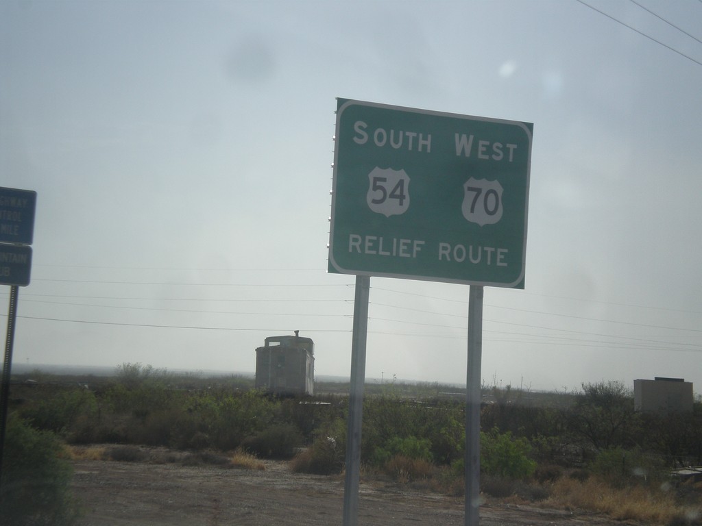
US-70 West/US-54 South - Relief Route
US-70 West/US-54 South - Alamogordo Relief Route.
Taken 04-15-2013

 Alamogordo
Otero County
New Mexico
United States