Shield Inside Sign Signs In New Mexico
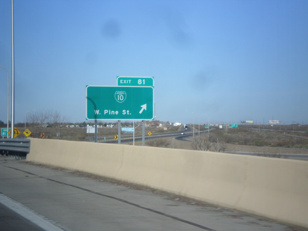
I-10 West - Exit 81
I-10 west at Exit 81 - BL-10/W. Pine St. This is the western end of the Deming business loop.
Taken 04-14-2013

 Deming
Luna County
New Mexico
United States
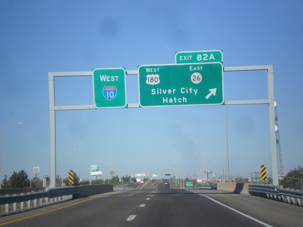
I-10 West - Exit 82A
I-10 west at Exit 82A - US-180 West/NM-26 East/Silver City/Hatch.
Taken 04-14-2013
 Deming
Luna County
New Mexico
United States
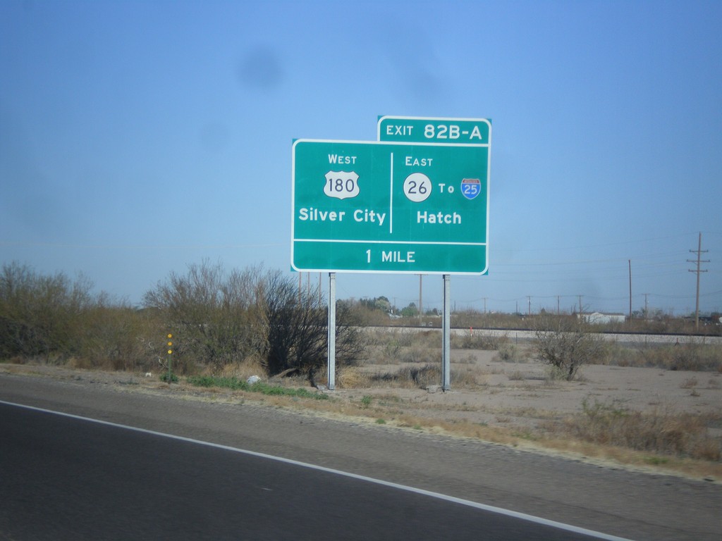
I-10 West Approaching Exits 82A and 82B
I-10 approaching Exits 82A and 82B. Exits 82AB - US-180 West/Silver City/NM-26 East/To I-25/Hatch.
Taken 04-14-2013


 Deming
Luna County
New Mexico
United States
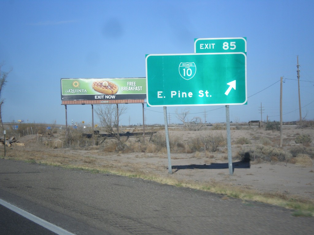
I-10 West - Exit 25
I-10 west at Exit 25 - BL-10/East Pine St. This is the east end of the Deming business loop.
Taken 04-14-2013

 Deming
Luna County
New Mexico
United States
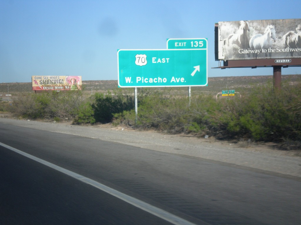
I-10 West - Exit 135
I-10 west at Exit 135 - US-70 East/W. Picacho Ave.
Taken 04-14-2013

 Las Cruces
Doña Ana County
New Mexico
United States
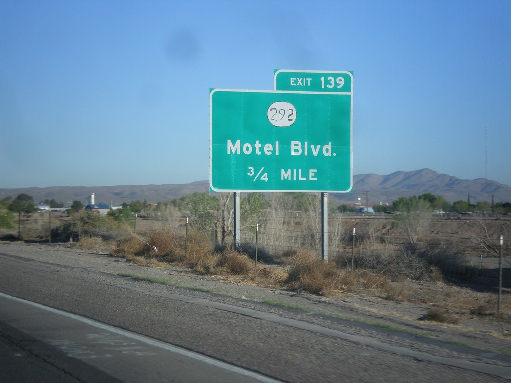
I-10 West - Exit 139
I-10 west approaching Exit 139 - NM-292/Motel Blvd.
Taken 04-14-2013

 Las Cruces
Doña Ana County
New Mexico
United States
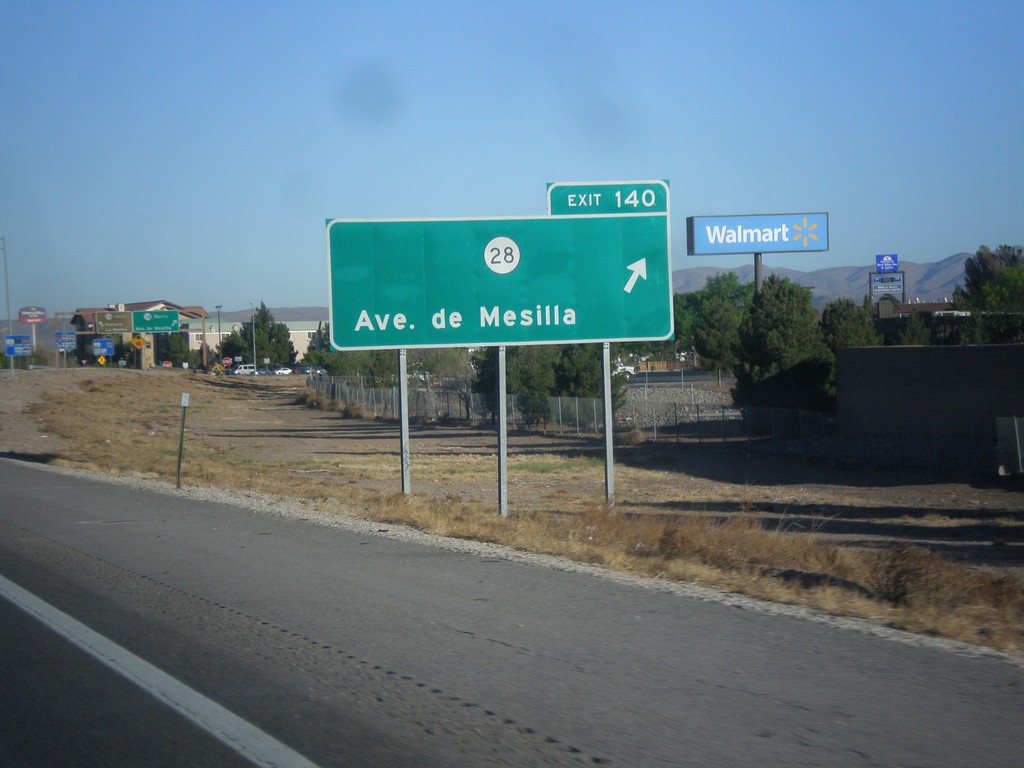
I-10 West - Exit 140
I-10 west at Exit 140 - NM-28/Ave. de Mesilla.
Taken 04-14-2013

 Las Cruces
Doña Ana County
New Mexico
United States
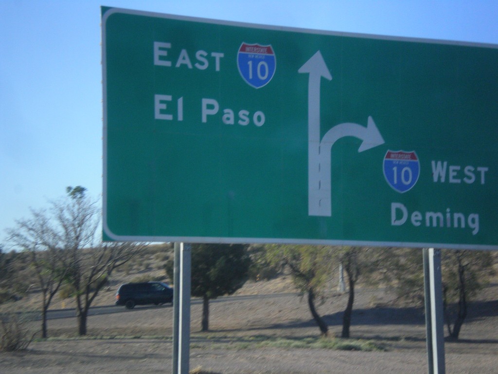
End NM-188 at I-10
End NM-188 at I-10 junction. Use right lanes for I-10 west to Deming; left lanes for I-10 east to El Paso (Texas).
Taken 04-14-2013

 Las Cruces
Doña Ana County
New Mexico
United States
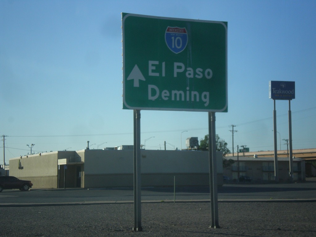
NM-188 East Approaching I-10
NM-188 east approaching I-10. Use I-10 for El Paso (Texas) and Deming.
Taken 04-14-2013

 Las Cruces
Doña Ana County
New Mexico
United States
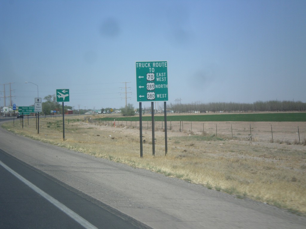
US-285 North - Roswell Relief Route
US-285 north at the southern end of the Roswell Relief Route. For US-285 North, US-380 West, and US-70, this is the truck route around the city. Officially, US-285 runs along the relief route, although there are US-285 markers along the old segment through Roswell.
Taken 04-14-2013


 Roswell
Chaves County
New Mexico
United States