Interstate Shield with State Name Signs In New Mexico
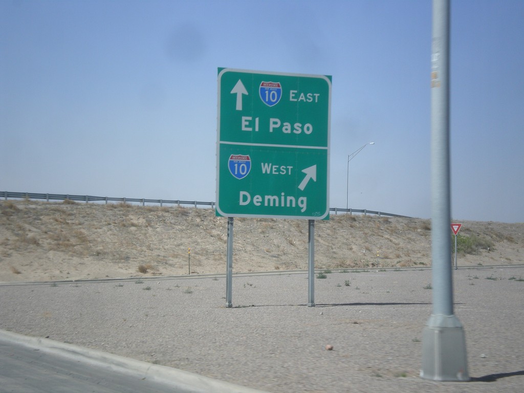
NM-28 South at I-10
NM-28 south at I-10 (Exit 140). Merge right for I-10 west to Deming; continue under freeway for I-10 east to El Paso.
Taken 04-15-2013

 Las Cruces
Doña Ana County
New Mexico
United States
Las Cruces
Doña Ana County
New Mexico
United States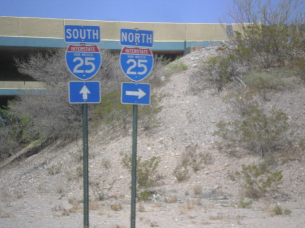
NM-152 West at I-25
NM-152 West at I-25 in rural Sierra County.
Taken 04-15-2013

 Caballo
Sierra County
New Mexico
United States
Caballo
Sierra County
New Mexico
United States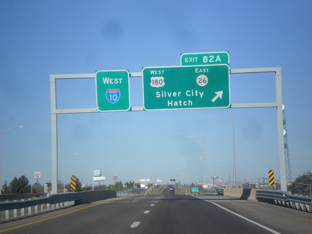
I-10 West - Exit 82A
I-10 west at Exit 82A - US-180 West/NM-26 East/Silver City/Hatch.
Taken 04-14-2013
Deming
Luna County
New Mexico
United States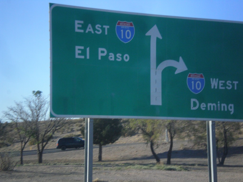
End NM-188 at I-10
End NM-188 at I-10 junction. Use right lanes for I-10 west to Deming; left lanes for I-10 east to El Paso (Texas).
Taken 04-14-2013
 Las Cruces
Doña Ana County
New Mexico
United States
Las Cruces
Doña Ana County
New Mexico
United States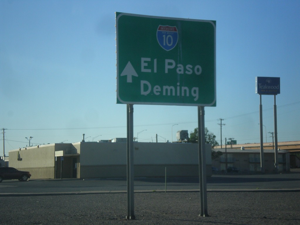
NM-188 East Approaching I-10
NM-188 east approaching I-10. Use I-10 for El Paso (Texas) and Deming.
Taken 04-14-2013
Las Cruces
Doña Ana County
New Mexico
United States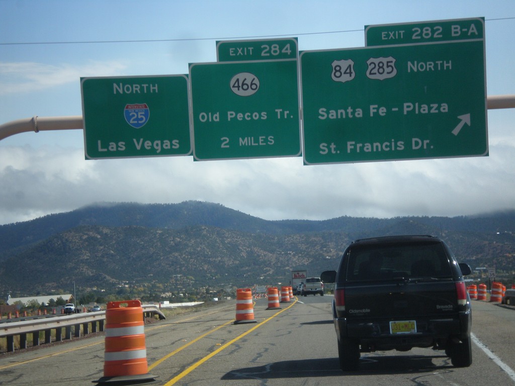
I-25 North - Exits 282B-A and 284
I-25 north at Exit 282B-A - US-84/US-285 North/Santa Fe - Plaza/St. Francis Drive. Approaching Exit 284 - NM-466/Old Pecos Trail. Continue north on I-25 for Las Vegas. US-84 joins I-25 north towards Las Vegas; US-285 joins I-25 north for 8 miles.
Taken 10-12-2012


 Santa Fe
 County
New Mexico
United States
Santa Fe
Santa Fe County
New Mexico
United States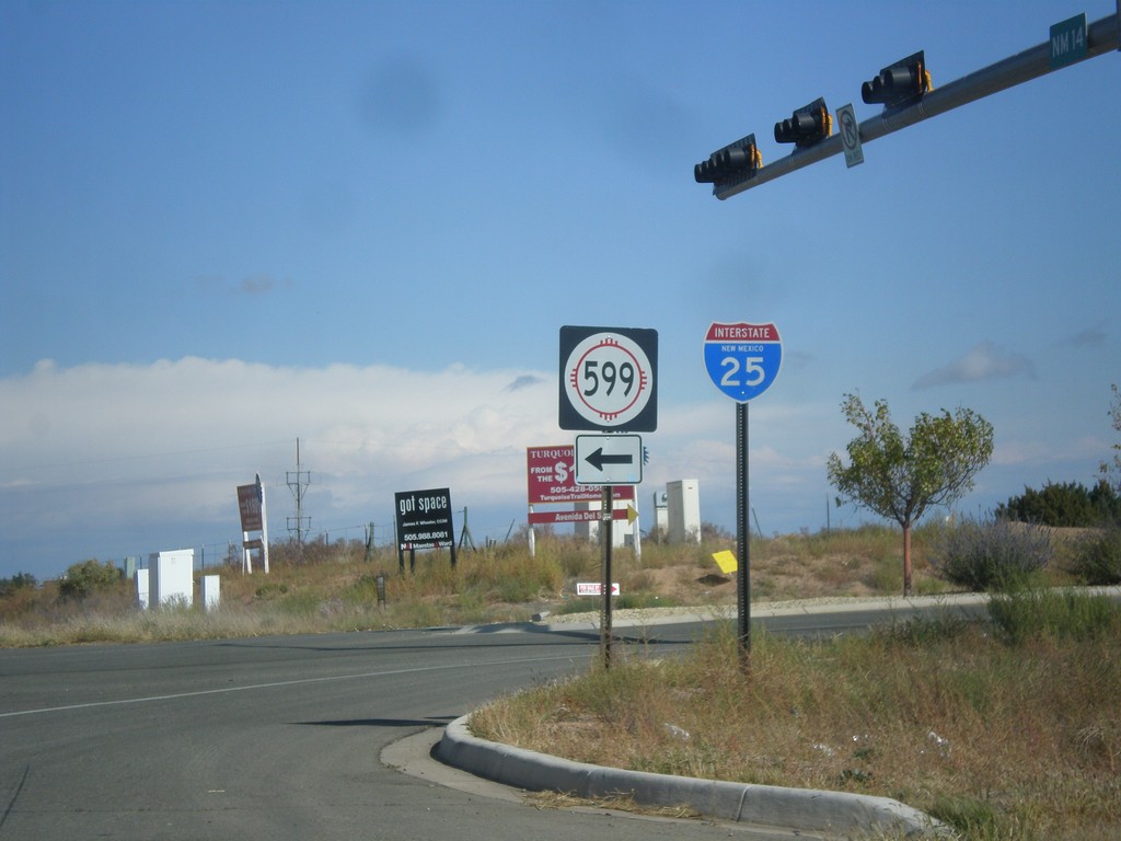
NM-14 North at NM-599
NM-14 north at NM-599. Use NM-599 for I-25. Northbound I-25 traffic can continue north on NM-14, although NM-599 is a shortcut to the freeway. This is the southern end of the Santa Fe Relief Route.
Taken 10-12-2012

 Santa Fe
 County
New Mexico
United States
Santa Fe
Santa Fe County
New Mexico
United States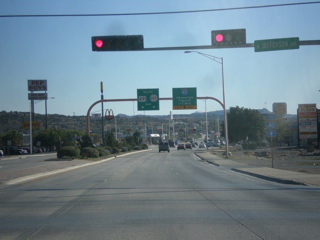
US-491 South Approaching I-40/NM-602
US-491 south approaching I-40 to Albuquerque and Flagstaff (Arizona). US-491 ends at I-40, and turns into NM-602 towards Zuni.
Taken 10-10-2012


 Gallup
McKinley County
New Mexico
United States
Gallup
McKinley County
New Mexico
United States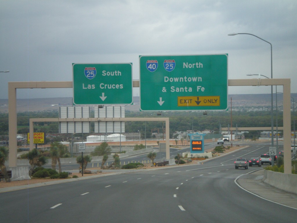
Sunport Blvd. West Approaching I-25
Sunport Blvd. West approaching I-25. Use right lanes for I-25 North/(To)I-40/Downtown (Albuquerque)/Santa Fe. Use left lanes for I-25 South/Las Cruces.
Taken 10-04-2011
Albuquerque
Bernalillo County
New Mexico
United States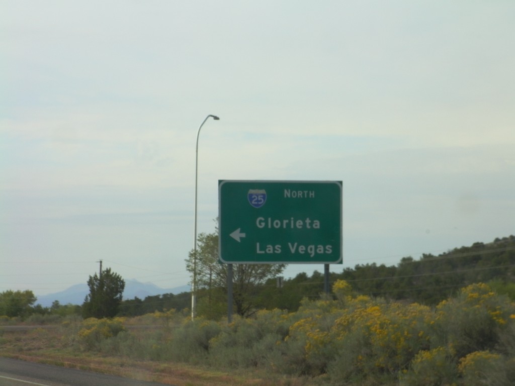
US-285 South at I-25 North
US-285 south at I-25 North (and US-84) onramp to Glorieta and Las Vegas.
Taken 10-04-2011
Santa Fe
Santa Fe County
New Mexico
United States