County Boundary Signs In Virginia
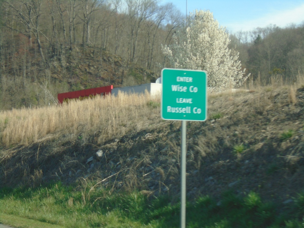
US-58 Alt. West - Wise County
Enter Wise County/Leave Russell County on US-58 Alt. West
Taken 03-31-2024
 Saint Paul
Wise County
Virginia
United States
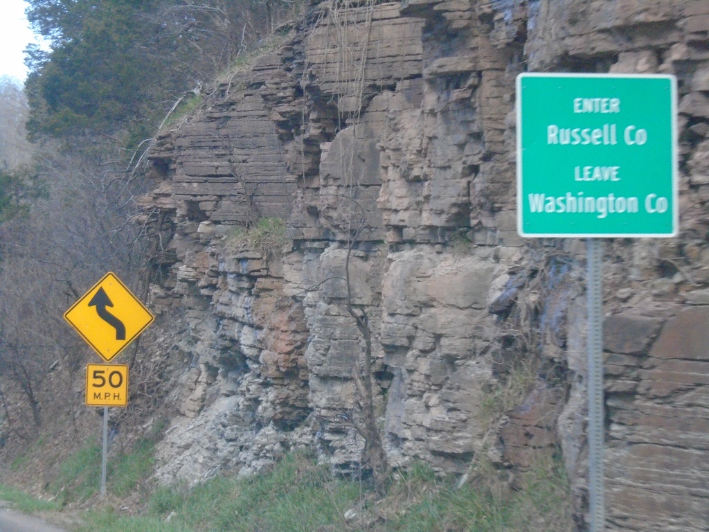
US-19 North/Alt. US-58 West - Enter Russell County
Enter Russell County/Leave Washington County on US-19 North/Alt. US-58 West at Little Moccasin Gap.
Taken 03-31-2024

 Lebanon
Russell County
Virginia
United States
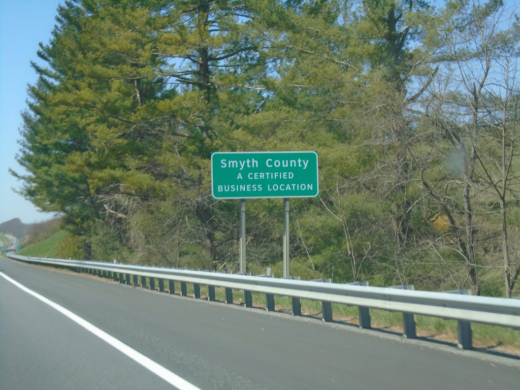
I-81 South - Smythe County
Entering Smythe County on I-81 south.
Taken 03-30-2024
 Rural Retreat
Smyth County
Virginia
United States
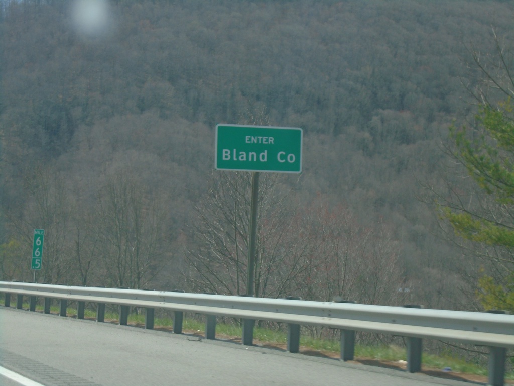
I-77 South - Bland County
Enter Bland County on I-77 south. Just south of the East River Mountain Tunnel that marks the state line between Virginia and West Virginia.
Taken 03-30-2024
 Rocky Gap
Bland County
Virginia
United States
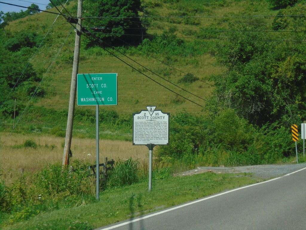
US-58 West/US-421 North - Scott County
Entering Scott County/Leaving Washington County on US-58 West/US-421 North.
Taken 06-24-2019

 Bristol
Scott County
Virginia
United States
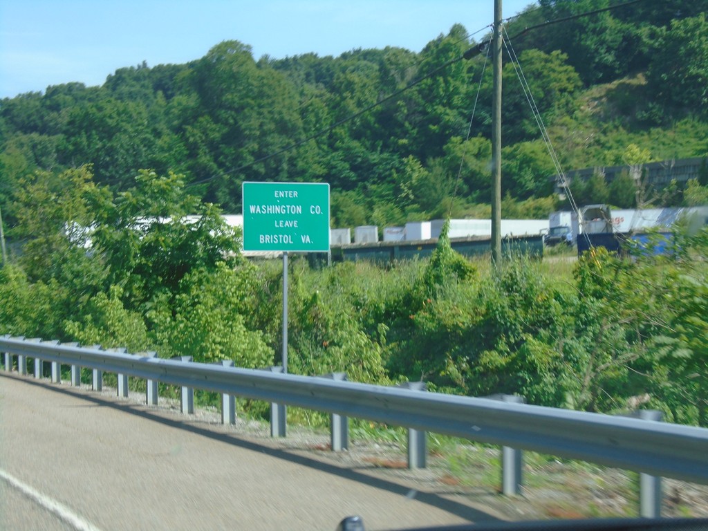
US-58 West/US-421 North - Washington County
Entering Washington County/Leaving Bristol, VA on US-58 West/US-421 North.
Taken 06-24-2019

 Bristol
Washington County
Virginia
United States