Javascript Is Required To Use This Page

Apache County, Arizona

Localities: Adamana | Chambers | Concho | Houck | Lupton | Mexican Water | Petrified Forest National Park | Red Mesa | Saint Johns | Sanders | Show Low | Teec Nos Pos

Adamana

I-40 East - Entering Apache County

I-40 East - Entering Apache County

Entering Apache County on I-40 east.

Chambers

I-40 East Approaching Exit 333

I-40 East Approaching Exit 333

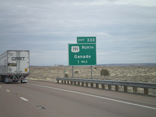
I-40 east approaching Exit 333 - US-191 North/Ganado. US-191 south joins I-40 eastbound for six miles.

I-40 East/US-191 South

I-40 East/US-191 South

I-40 East/US-191 south in Apache County, Arizona. The US-191 shield is actually in error, because US-191 does not join I-40 eastbound for another 3 miles.

I-40 East - Exit 320

I-40 East - Exit 320

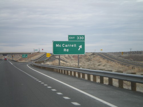
I-40 east at Exit 320 - McCarrell Road.

I-40 East - Exit 325

I-40 East - Exit 325

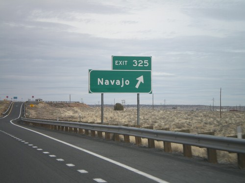
I-40 east at Exit 325 - Navajo.

I-40 East - Distance Marker

I-40 East - Distance Marker

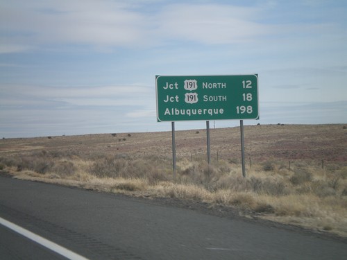
Distance marker on I-40 east to Jct. US-191 North, Jct. US-191 South, and Albuquerque.

Concho

AZ-61 West Approaching US-60

AZ-61 West Approaching US-60

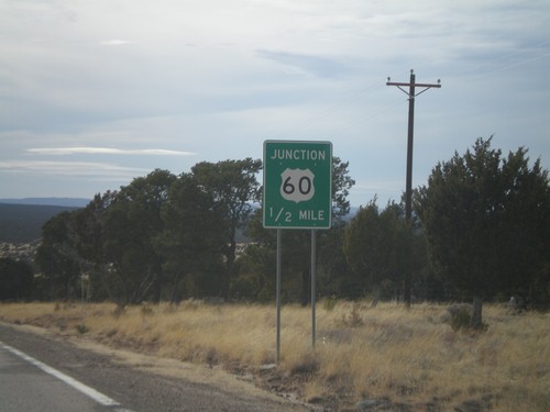
AZ-61 west approaching US-60.

End AZ-180A East at AZ-61

End AZ-180A East at AZ-61

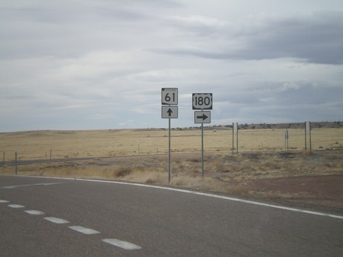
End AZ-180A East at AZ-61. Use AZ-61 west for Show Low; use AZ-61 east for St. Johns.
AZ-180A West - Winter Driving Warning

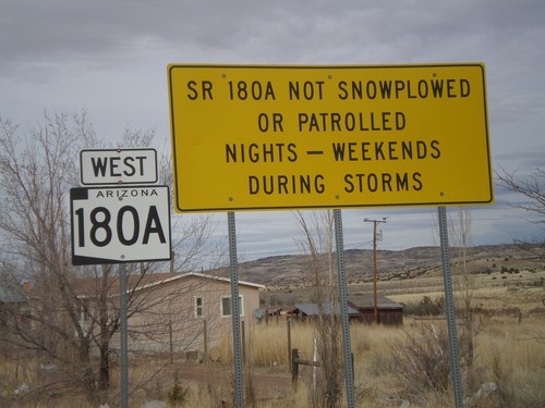
AZ-180A West - Winter Driving Warning

Warning on AZ-180A that the highway is not plowed nights or on weekends during storms.

AZ-61 West At AZ-180A West

AZ-61 West At AZ-180A West

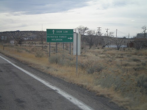
AZ-61 west at AZ-180A west. Use AZ-180A for Holbrook and Petrified Forest. Continue west on AZ-61 for Show Low.

AZ-61 West Approaching AZ-180A

AZ-61 West Approaching AZ-180A

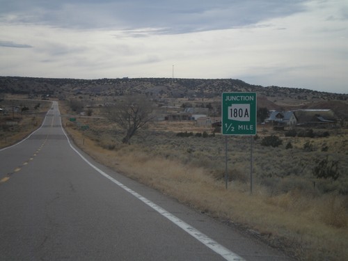
AZ-61 west approaching AZ-180A.

Houck

I-40 East - Exit 354

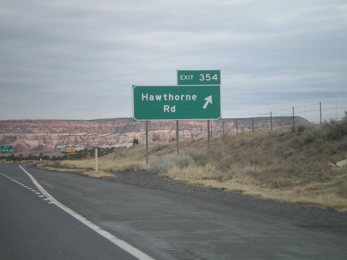
I-40 East - Exit 354

I-40 east at Exit 354 - Hawthorne Road.

I-40 East - Exit 351

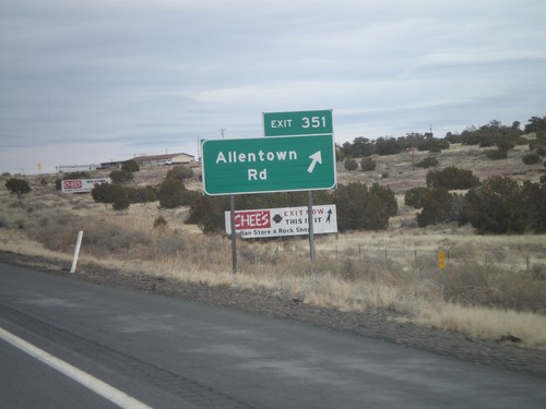
I-40 East - Exit 351

I-40 east at Exit 351 - Allentown Road.

I-40 East - Exit 348

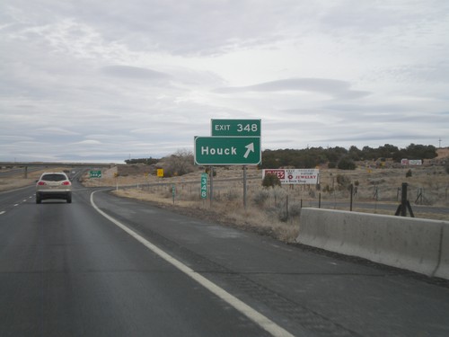
I-40 East - Exit 348

I-40 east at Exit 348 - Houck.

I-40 Onramp at Exit 346

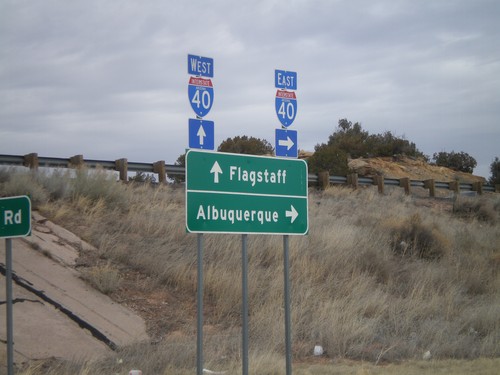
I-40 Onramp at Exit 346

I-40 onramp at Exit 346. Use I-40 west for Flagstaff; use I-40 east for Albuquerque.

I-40 East - Exit 346

I-40 East - Exit 346

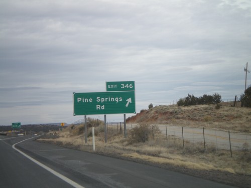
I-40 east at Exit 346 - Pine Springs Road.

I-40 East - Exit 343

I-40 East - Exit 343

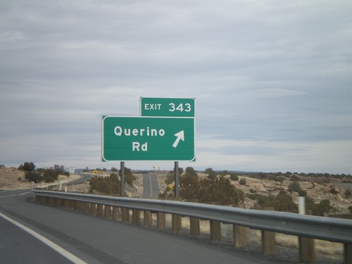
I-40 east at Exit 343 - Querino Road.

I-40 East - Exit 341

I-40 East - Exit 341

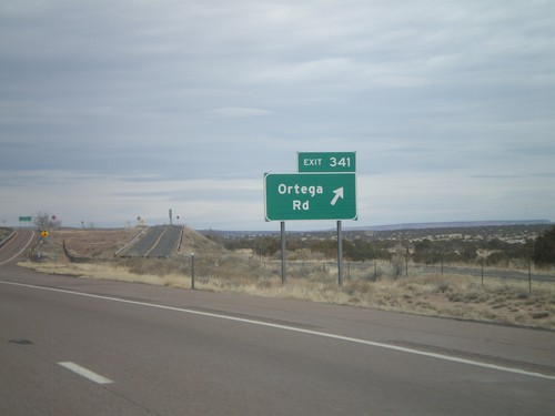
I-40 east at Exit 341 - Ortega Road.

Lupton

I-40 East - Exit 359

I-40 East - Exit 359

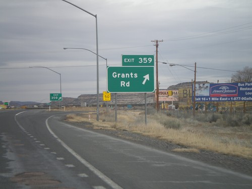
I-40 east at Exit 359 - Grants Road. This is the last Arizona exit on I-40 eastbound.

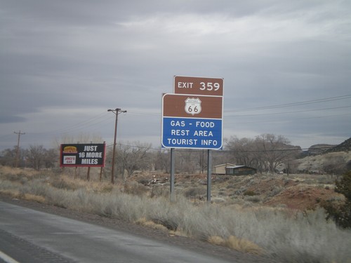
I-40 East Approaching Exit 359

I-40 East Approaching Exit 359

I-40 east approaching Exit 359. Use Exit 359 for Historic US-66.

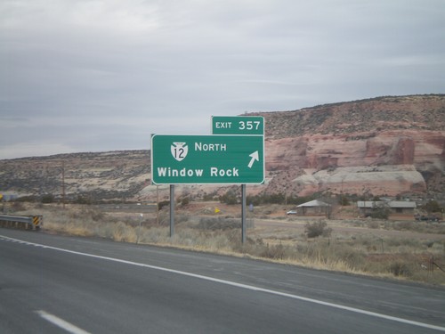
I-40 East - Exit 357

I-40 East - Exit 357

I-40 east at Exit 357 - Navajo IR-12 North/Window Rock. Window Rock is the capitol of the Navajo Nation.

Mexican Water

US-160 West/US-191 South at US-191 South

US-160 West/US-191 South at US-191 South

US-160 West/US-191 South at US-191 South in rural Apache County.

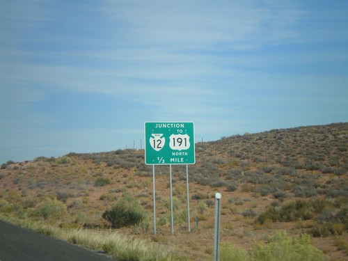
US-160 East Approaching BIA-12/To US-191 North

US-160 East Approaching BIA-12/To US-191 North

US-160 east approaching BIA-12 North to US-191.

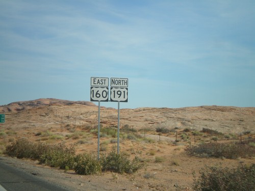
US-160 East/US-191 North

US-160 East/US-191 North

US-160 East/US-191 North

US-160 East at US-191 South

US-160 East at US-191 South

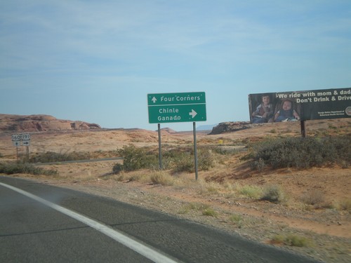
US-160 east at US-191 south to Ganado and Chinle. US-191 joins US-160 east next 3 miles.

US-160 East Approaching US-191

US-160 East Approaching US-191

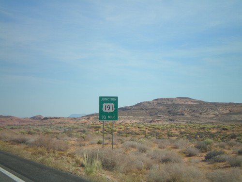
US-160 east approaching US-191.

Petrified Forest National Park

I-40 East - Exit 320

I-40 East - Exit 320

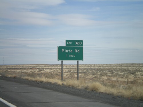
I-40 east at Exit 320 - Pinta Road.

I-40 East Approaching Exit 311

I-40 East Approaching Exit 311

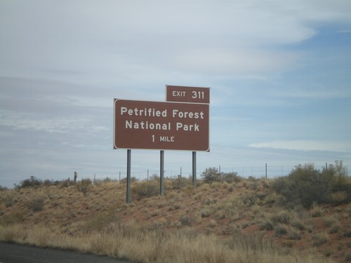
I-40 east approaching Exit 311 - Petrified Forest National Park.

Red Mesa

US-160 East - Distance Marker

US-160 East - Distance Marker

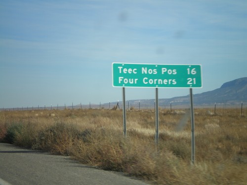
Distance marker on US-160 east to Teec Nos Pos and Four Corners.

US-160 East at BIA-35

US-160 East at BIA-35

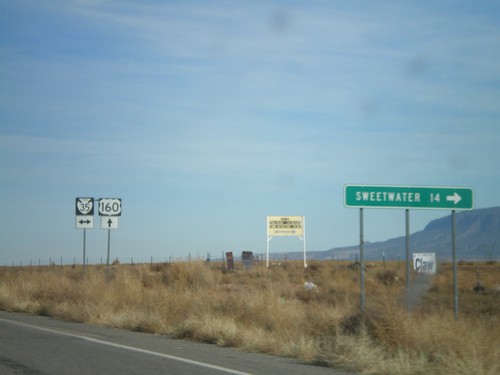
US-160 east at BIA-35. Sweetwater is 14 miles to the south on BIA-35.

US-160 East at BIA-35

US-160 East at BIA-35

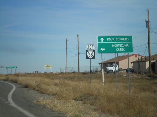
US-160 east approaching BIA-35 north to Montezuma Creek. Continue on US-160 east to Four Corners.

US-160 East at BIA-12/To US-191

US-160 East at BIA-12/To US-191

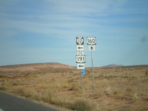
US-160 east at BIA-12 North to US-191. All maps denote this as US-191, but the sign says BIA-12.

US-160 East at BIA-12 North (US-191)

US-160 East at BIA-12 North (US-191)

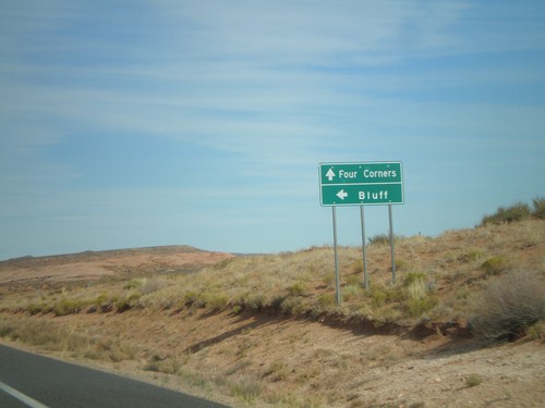
US-160 east approaching BIA-12 North to US-191 and Bluff (Utah).

Saint Johns

US-180 West/AZ-61 West at Split

US-180 West/AZ-61 West at Split

US-180 West/AZ-61 West at US-180/AZ-61 split. Turn right for US-180 West; continue straight for AZ-61 West.
US-180 West/AZ-61 West at Split

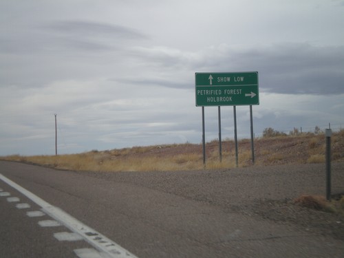
US-180 West/AZ-61 West at Split

US-180 West/AZ-61 West at US-180/AZ-61 split. Turn right for US-180 west to Holbrook and Petrified Forest (National Park). Continue straight on AZ-61 west for Show Low.
US-180 West/AZ-61 West Approaching AZ-61

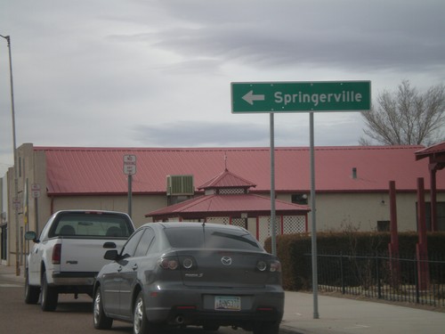
US-180 West/AZ-61 West Approaching AZ-61

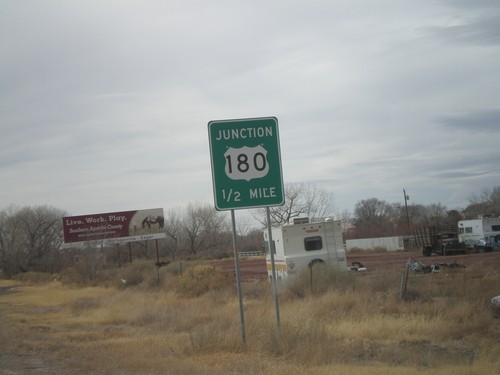
US-180 West/AZ-61 West approaching US-180/AZ-61 split.

US-180 West/AZ-61 West

US-180 West/AZ-61 West

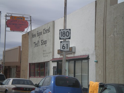
US-180 West/AZ-61 West in St. Johns.

US-191 South/AZ-61 West at US-180

US-191 South/AZ-61 West at US-180

US-191 South/AZ-61 West at US-180. Turn left for US-180 East/US-181 South to Springerville.
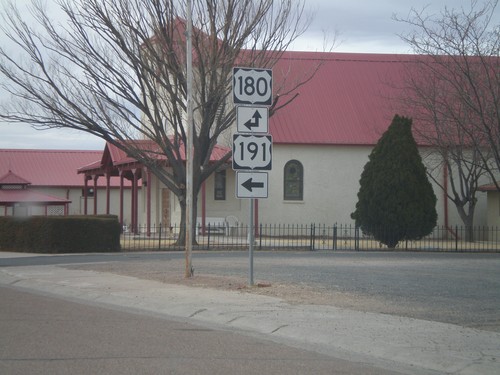
US-191 South/AZ-61 West at US-180

US-191 South/AZ-61 West at US-180

US-191 South/AZ-61 West at US-180. AZ-61 is not signed at this intersection. Turn left for US-191 South/US-180 East. Continue straight for US-180 West/AZ-61 West.
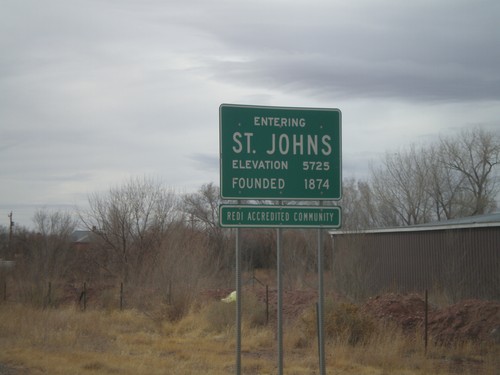
US-191 South/AZ-61 West - Entering St. Johns

US-191 South/AZ-61 West - Entering St. Johns

Entering St. Johns on US-191 South/AZ-61 West. Elevation 5725 Feet. Founded in 1874. St. Johns is the county seat of Apache County.

US-191 South/AZ-61 West Approaching US-180

US-191 South/AZ-61 West Approaching US-180

US-191 South/AZ-61 West approaching US-180.

AZ-61 West at US-191

AZ-61 West at US-191

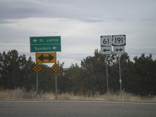
AZ-61 west at US-191. AZ-61 west joins US-191 south to St. Johns. Use US-191 South/AZ-61 West for St. Johns. Use US-191 North for Sanders.

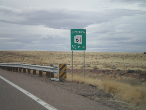
AZ-61 West Approaching US-191

AZ-61 West Approaching US-191

AZ-61 west approaching US-191. AZ-61 west joins US-191 south to St. Johns.

Sanders

AZ-61 West Approaching Navajo-2025

AZ-61 West Approaching Navajo-2025

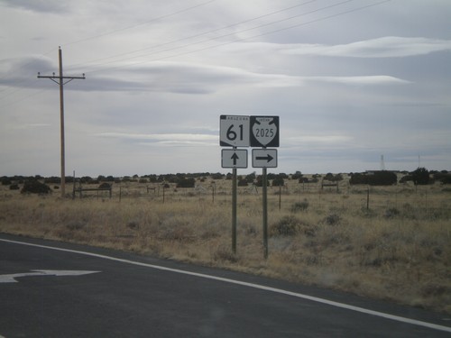
AZ-61 west approaching Navajo-2025.

I-40 East - Entering Navajo Nation

I-40 East - Entering Navajo Nation

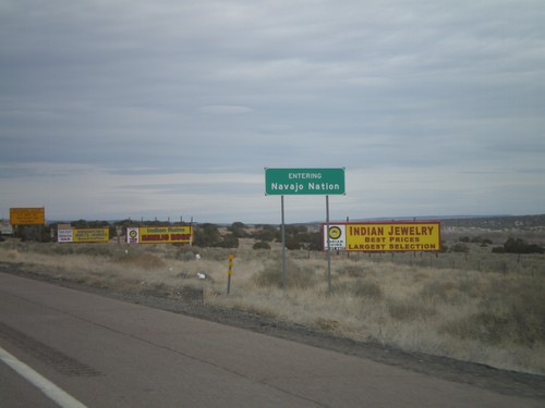
Entering the Navajo Nation on I-40 east.

I-40 East Approaching Exit 339

I-40 East Approaching Exit 339

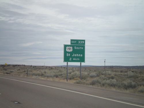
I-40 east approaching Exit 339 - US-191 South/St. Johns. US-191 south leaves I-40 eastbound at Exit 339.

Show Low

AZ-61 West at US-60

AZ-61 West at US-60

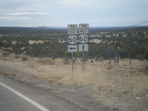
AZ-61 west at US-60. Turn left for US-60 east; continue ahead for US-60 west.

Teec Nos Pos

US-160 West/US-191 South Approaching US-191 South

US-160 West/US-191 South Approaching US-191 South

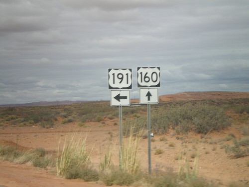
US-160 West/US-191 South approaching US-191 south to I-40 and Ganado. The US-191 and US-160 shields are in the background of the photo.
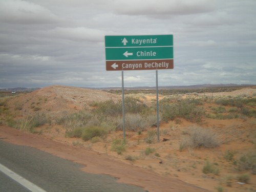
US-160 West/US-191 South Approaching US-191 South

US-160 West/US-191 South Approaching US-191 South

US-160 West/US-191 South approaching US-191 South to Chile, and Canyon De Chelly (National Monument). Continue west on US-160 for Kayenta.
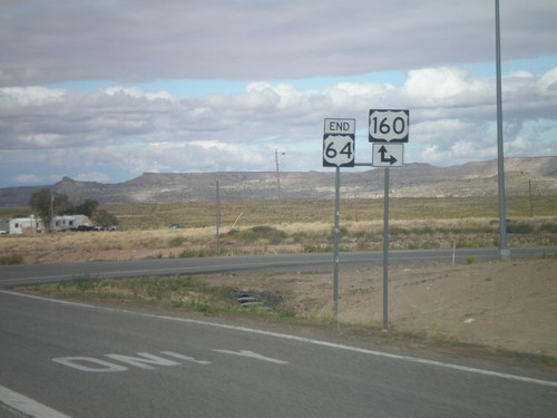
US-160 West/US-191 South Approaching US-191 South

US-160 West/US-191 South Approaching US-191 South

US-160 West/US-191 South approaching US-191 South.

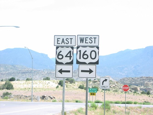
End US-64 West at US-160

End US-64 West at US-160

End US-64 west at US-160 in Teec Nos Pos. Turn right for US-160 east; continue ahead for US-160 west.
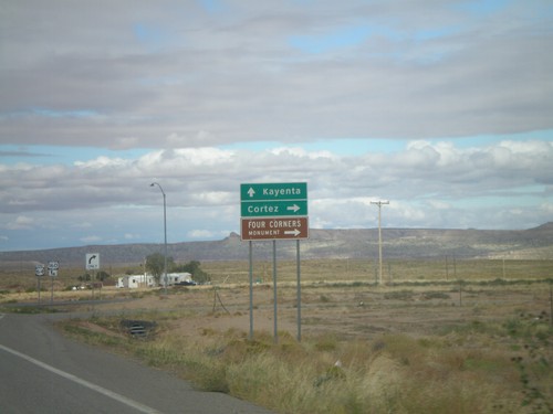
End US-64 West Approaching US-160

End US-64 West Approaching US-160

End US-6A4 west approaching US-160. Turn right for US-160 east to Cortez (Colorado) and Four Corners National Monument. Continue ahead for US-160 east to Kayenta.
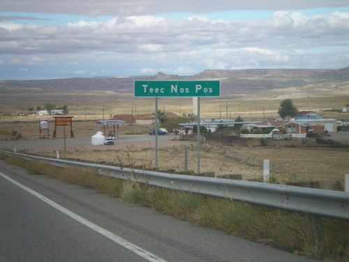
US-64 West - Teec Nos Pos

US-64 West - Teec Nos Pos

Entering Teec Nos Pos on US-64 west. This is the first community in Arizona on US-64 west, and also the closest community to Four Corners.
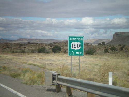
US-64 West Approaching US-160

US-64 West Approaching US-160

US-64 West approaching US-160. This is the western end of US-64. The eastern end of US-64 is in Nags Head, North Carolina.
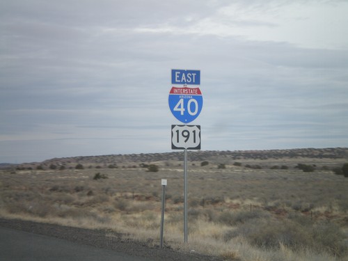
US-160 West at US-64

US-160 West at US-64

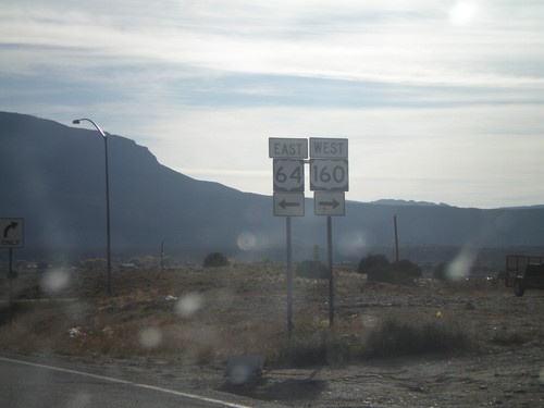
US-160 west at US-64 east to Shiprock. Use US-160 west for Kayenta.
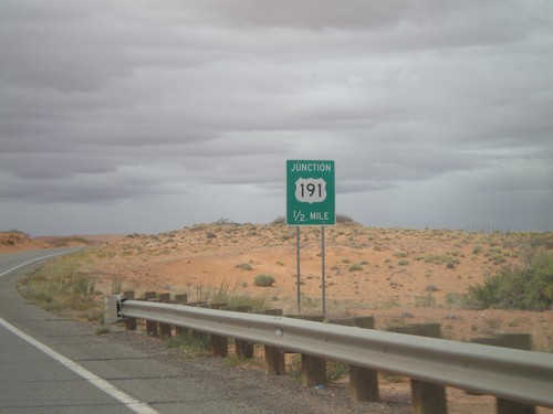
US-160 West at US-64

US-160 West at US-64

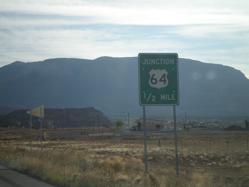
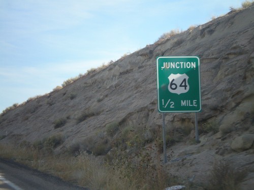
US-160 west approaching US-64 junction.
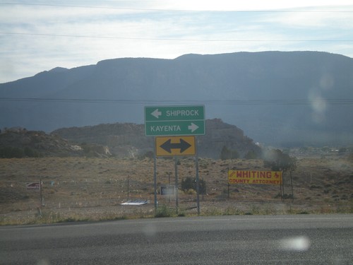
US-160 West Approaching US-64

US-160 West Approaching US-64

US-160 west approaching US-64.

US-160 East at US-64

US-160 East at US-64

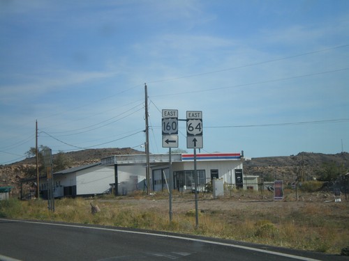
US-160 east at US-64 east. US-64 east begins here.

US-160 East at US-64

US-160 East at US-64

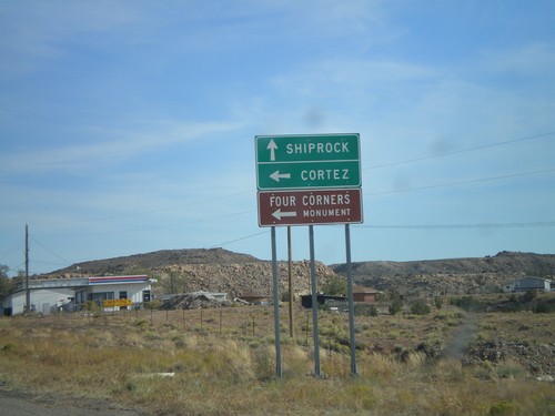
US-160 east approaching US-64 east to Shiprock (NM). Use US-160 east for Cortez (CO) and Four Corners.

US-160 East Approaching US-64

US-160 East Approaching US-64

US-160 east approaching US-64.

US-160 East - Arizona Port of Entry

US-160 East - Arizona Port of Entry

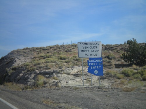
East US-160 approaching the Arizona Port of Entry.

US-160 East - Teec Nos Pos

US-160 East - Teec Nos Pos

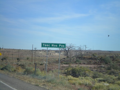
East US-160 entering Teec Nos Pos

US-64 West at US-160

US-64 West at US-160

US-160 west at US-64 junction in Teec Nos Pos.