Javascript Is Required To Use This Page

Maricopa County, Arizona

Localities: Aguila | Avondale | Big Horn | Buckeye | Chandler | Fort McDowell | Gila Bend | Goodyear | Guadalupe | Mesa | Morristown | Peoria | Phoenix | Piedra | Sentinel | Surprise | Tempe | Tolleson | Tonopah | Waddell | Wickenburg

Aguila
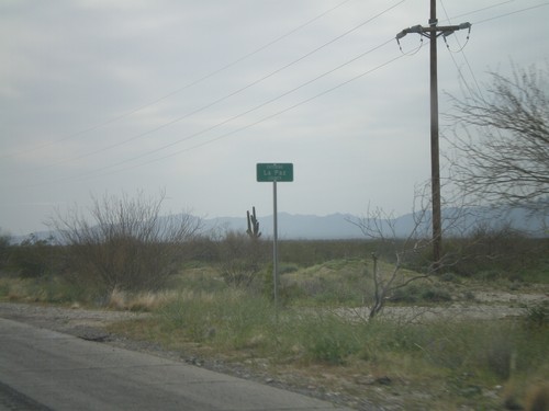
US-60 West - Entering La Paz County

US-60 West - Entering La Paz County

Entering La Paz County on US-60 west at the La Paz - Maricopa County Line.

US-60 West at AZ-71

US-60 West at AZ-71

US-60 west at AZ-71

End AZ-71 South at US-60

End AZ-71 South at US-60

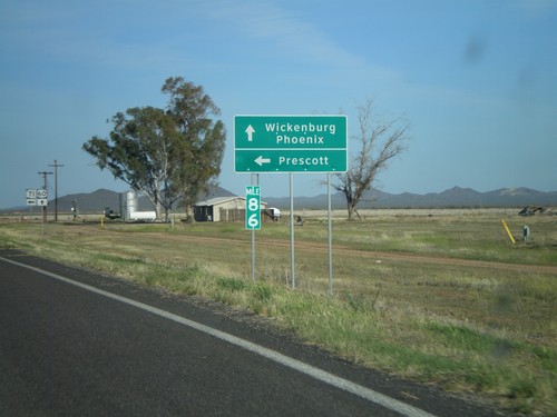
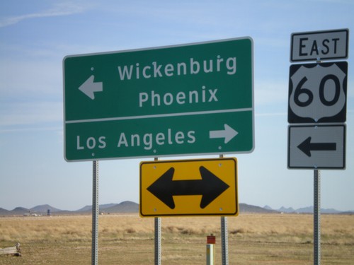
End AZ-71 south at US-60. Use US-60 east for Wickenburg and Phoenix. Use US-60 west for Los Angeles.

US-60 East Approaching AZ-71

US-60 East Approaching AZ-71

US-60 east approaching AZ-71.

Avondale

I-10 West - Exit 131

I-10 West - Exit 131

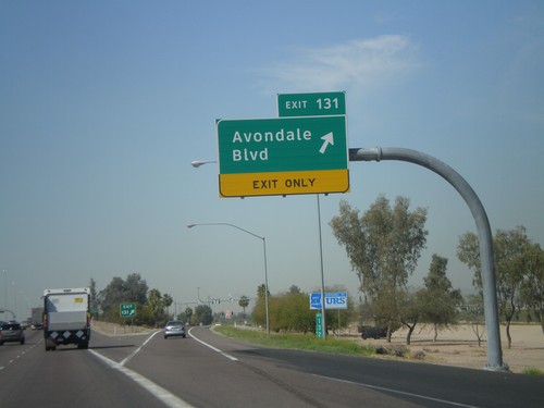
I-10 west at Exit 131 - Avondale Blvd

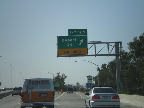
I-10 West - Exit 129

I-10 West - Exit 129

I-10 west at Exit 129 - Dysart Road

Big Horn

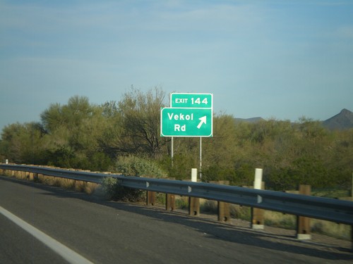
I-8 East - Exit 144

I-8 East - Exit 144

I-8 east at Exit 144 - Vekol Road.

Buckeye

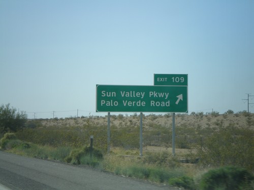
I-10 West - Exit 109

I-10 West - Exit 109

I-10 west at Exit 109 - Sun Valley Parkway/Palo Verde Road

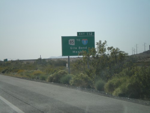
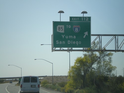
I-10 West -  Exit 112

I-10 West - Exit 112

I-10 west at Exit 112 - AZ-85/To I-8/Yuma/San Diego.

I-10 West Approaching Exit 112

I-10 West Approaching Exit 112

I-10 west approaching Exit 112 - Use Exit 112 for AZ-85/To I-8/Gila Bend/Mexico. The border crossing served by this exit is Lukeville,AZ/Sonoyta,Sonora.

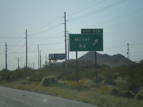
I-10 West - Exit 114

I-10 West - Exit 114

I-10 west at Exit 114 - Use Exit 112 for AZ-85/To I-8/Gila Bend/Mexico. The border crossing served by this exit is Lukeville,AZ/Sonoyta,Sonora.

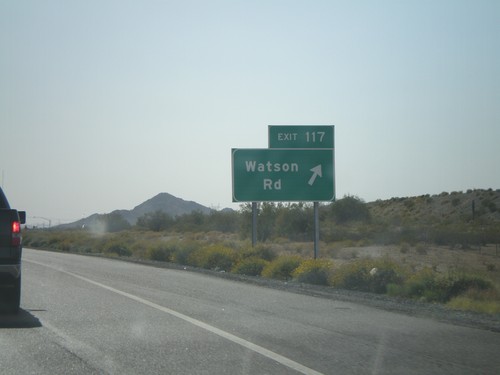
I-10 West - Exit 117

I-10 West - Exit 117

I-10 west at Exit 117 - Watson Road

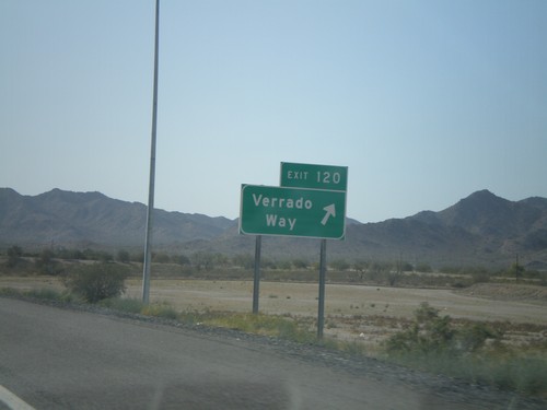
I-10 West - Exit 120

I-10 West - Exit 120

I-10 west at Exit 120 - Verrado Way

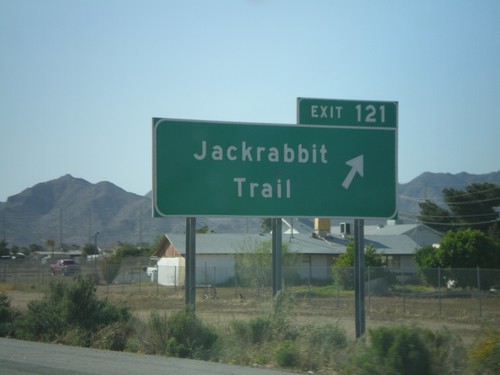
I-10 West - Exit 121

I-10 West - Exit 121

I-10 west at Exit 121 - Jackrabbit Trail

Chandler

I-10 West - Exit 159

I-10 West - Exit 159

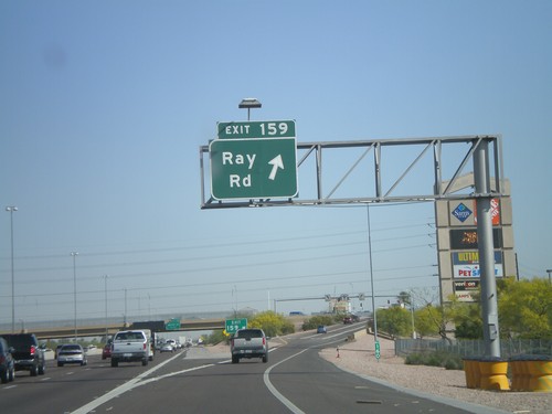
I-10 west at Exit 159 - Ray Road

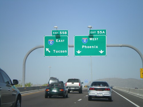
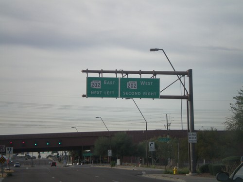
AZ-202 West - Exit 55AB

AZ-202 West - Exit 55AB

AZ-202 West Exit 55 Offramp at Exit 55B - I-10 East/Tucson and Exit 55A - I-10 West/Phoenix.
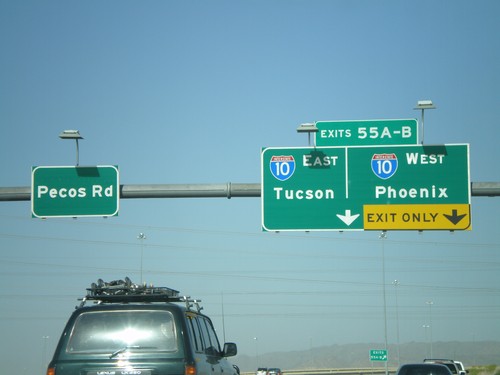
End AZ-202 West at I-10

End AZ-202 West at I-10

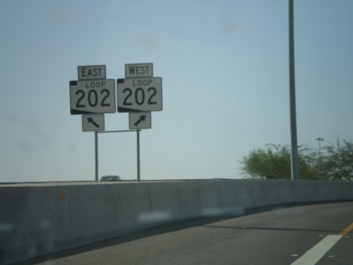
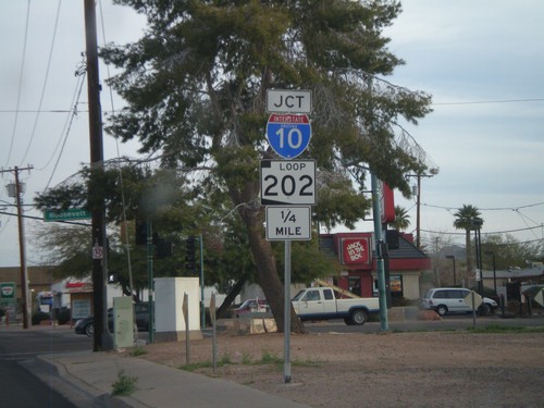
End AZ-202 Loop west at I-10 - Exit 55AB - Tucson/Phoenix. Continue straight for Pecos Road.
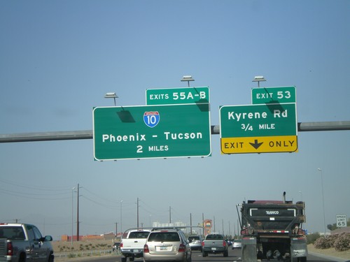
AZ-202 Loop West Approaching Exit 53 and Exit 55AB

AZ-202 Loop West Approaching Exit 53 and Exit 55AB

AZ-202 Loop west approaching Exit 53 - Kyrene Road. Approaching 55AB - I-10/Phoenix-Tucson.
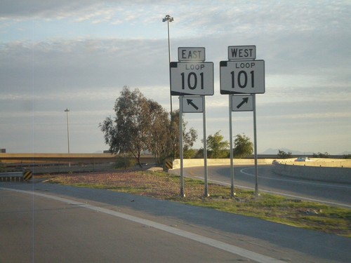
End AZ-101 Loop at AZ-202 Loop

End AZ-101 Loop at AZ-202 Loop

End AZ-101 Loop at AZ-202 Loop.

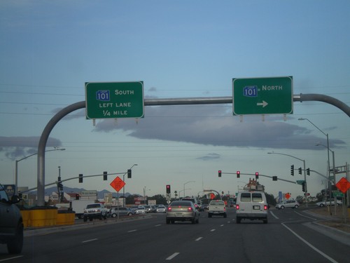
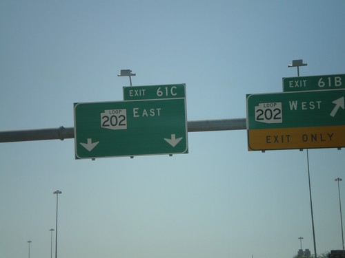
AZ-101 Loop South - Exit 61BC

AZ-101 Loop South - Exit 61BC

AZ-101 Loop south at Exit 61B - AZ-202 Loop West and Exit 61C - AZ-202 Loop East. This is the southern end of AZ-101 Loop.
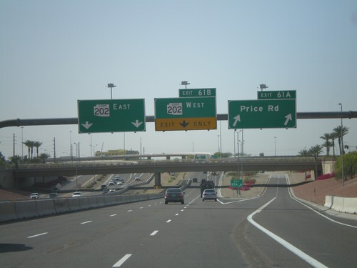
AZ-101 Loop South - Exit 61 AB

AZ-101 Loop South - Exit 61 AB

AZ-101 Loop south at Exit 61A - Price Road. Approaching Exit 61B - AZ-202 Loop West and Exit 61C - AZ-202 Loop East.

I-10 East - Exit 167

I-10 East - Exit 167

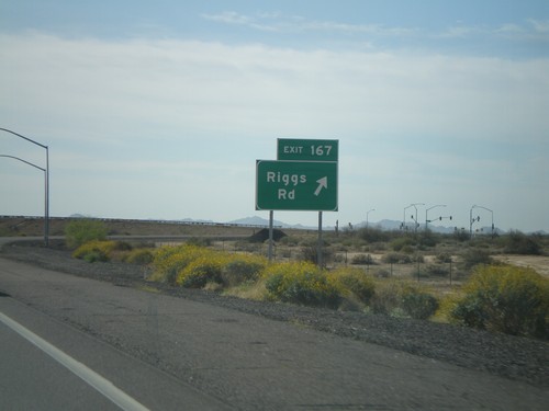
I-10 east at Exit 167 - Riggs Road.

I-10 East - Exit 164

I-10 East - Exit 164

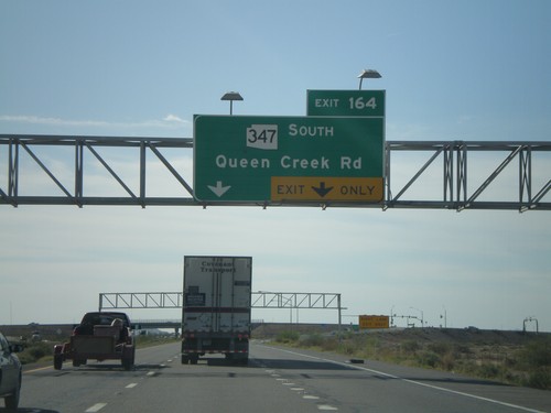
I-10 east at Exit 164 - AZ-347 South/Queen Creek Road.

I-10 East - Exit 162

I-10 East - Exit 162

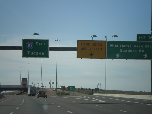
I-10 east at Exit 162 - Wild Horse Pass Blvd./Sundust Road. Overhead for I-10 East/Tucson.

I-10 East - Exit 160 and Exit 161

I-10 East - Exit 160 and Exit 161

I-10 east at Exit 160 - Wild Horse Pass Blvd./Sundust Road. Overhead for I-10 East/Tucson.

Fort McDowell

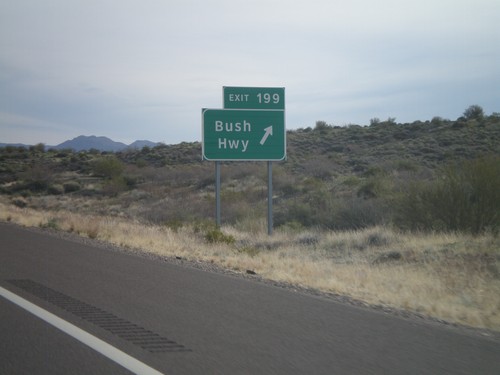
AZ-87 North - Exit 199

AZ-87 North - Exit 199

AZ-87 North at Exit 199 - Bush Highway. This is the only interchange along AZ-87 between Mesa and Payson, although the highway is divided for almost the entire stretch.

Gila Bend

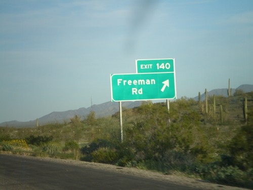
I-8 East - Exit 140

I-8 East - Exit 140

I-8 east at Exit 140 - Freeman Road.

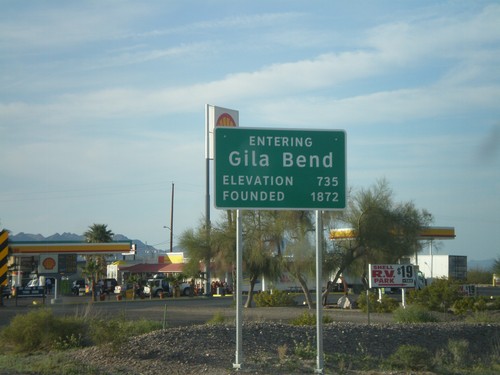
Entering Gila Bend on BL-8 West

Entering Gila Bend on BL-8 West

Entering Gila Bend on BL-8 west. Founded in 1872. Elevation 735.

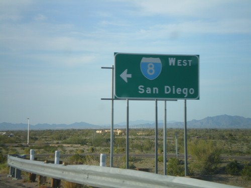
BL-8 west at I-8 West Onramp

BL-8 west at I-8 West Onramp

BL-8 west at I-8 west onramp at Exit 119. Use I-8 west for San Diego. BL-8 west continues into Gila Bend.
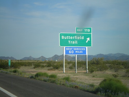
I-8 East - Exit 119

I-8 East - Exit 119

I-8 east at Exit 119 - Butterfield Trail. This is the eastern end of the Gila Bend business loop.

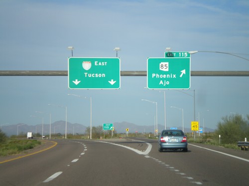
I-8 East - Exit 115

I-8 East - Exit 115

I-8 east at Exit 115 - AZ-85/Ajo/Phoenix. I-8 continues east towards Tucson. This is the western end of the Gila Bend business loop.

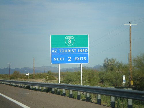
I-8 East Approaching Gila Bend

I-8 East Approaching Gila Bend

I-8 east approaching Gila Bend. Use the next two exits for BL-8.

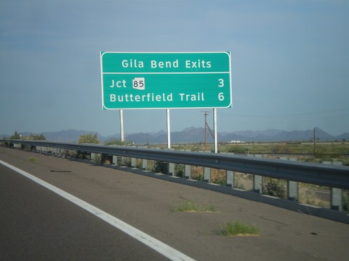
I-8 East - Gila Bend Exits

I-8 East - Gila Bend Exits

Gila Bend exits on I-8 east - Jct. AZ-85 and Butterfield Trail.

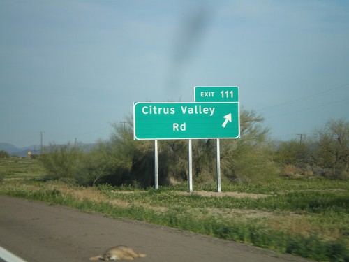
I-8 East - Exit 111

I-8 East - Exit 111

I-8 east at Exit 111 - Citrus Valley Road.

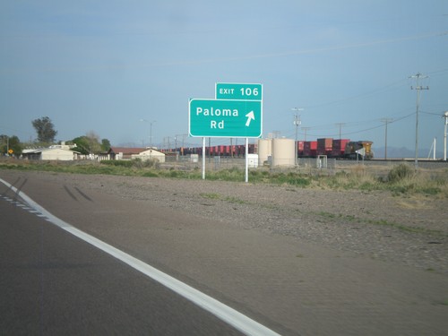
I-8 East - Exit 106

I-8 East - Exit 106

I-8 east at Exit 106 - Paloma Road.

Goodyear

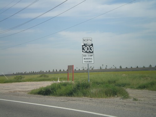
AZ-303 Loop North

AZ-303 Loop North

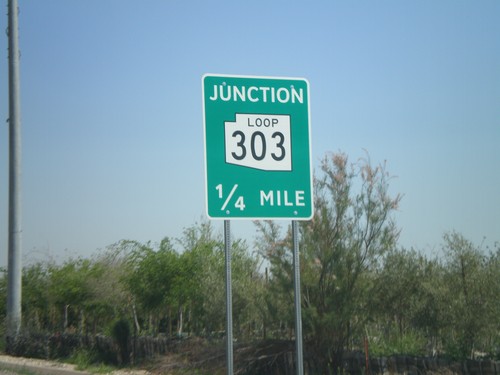
AZ-303 Loop North - Bob Stump Memorial Parkway. AZ-303 Loop shield is signed with the old white on black style.
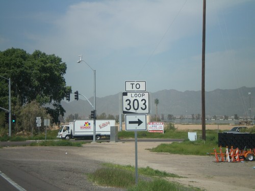
I-10 Exit 124 Offramp at AZ-303 Loop

I-10 Exit 124 Offramp at AZ-303 Loop

I-10 Exit 123 offramp at AZ-303 Loop. AZ-303 Loop is signed as To AZ-303 Loop until it leaves Cotton Lane.
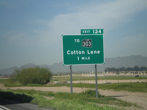
I-10 West Approaching Exit 124

I-10 West Approaching Exit 124

I-10 west approaching Exit 124 - To AZ-303 Loop/Cotton Lane. The AZ-303 Loop shield is black here. All of the Arizona Loop shields had different colors, but they have since been standardized to just black and white.

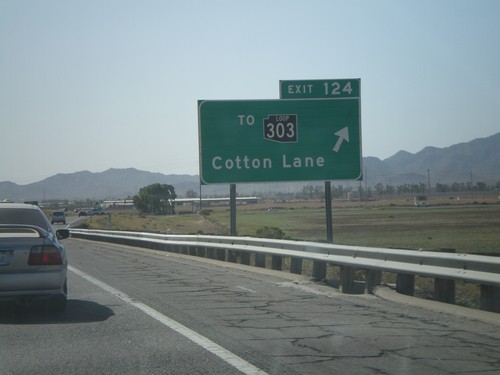
I-10 West - Exit 124

I-10 West - Exit 124

I-10 west at Exit 124 - To AZ-303 Loop/Cotton Lane. AZ-303 is the outermost of the three Phoenix beltways. Each of the three loops has a different color for the shield, although the newer signs just use white. The AZ-303 Loop shield is black.

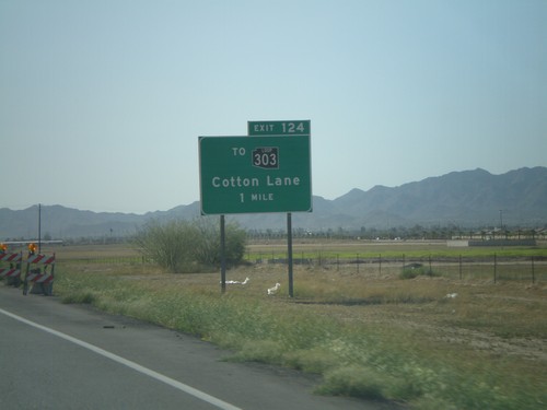
I-10 West Approaching  Exit 124

I-10 West Approaching Exit 124

I-10 west approaching Exit 124 - To AZ-303 Loop/Cotton Lane.

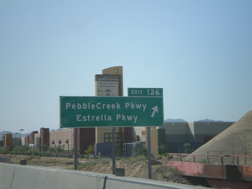
I-10 West - Exit 126

I-10 West - Exit 126

I-10 west at Exit 126 - Pebble Creek Parkway/Estrella Parkway

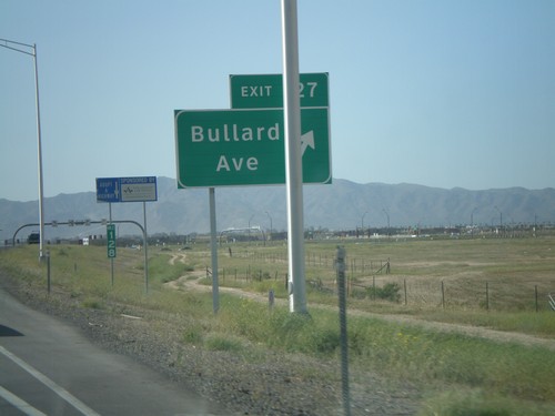
I-10 West - Exit 127

I-10 West - Exit 127

I-10 west at Exit 127 - Bullard Ave. This is a new interchange.

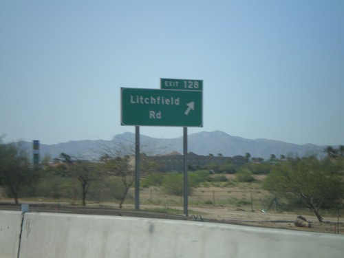
I-10 West - Exit 128

I-10 West - Exit 128

I-10 west at Exit 128 - Litchfield Road

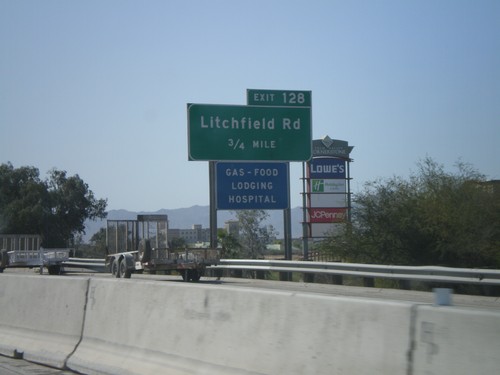
I-10 West Approaching Exit 128

I-10 West Approaching Exit 128

I-10 west approaching Exit 128 - Litchfield Road

Guadalupe

I-10 West -  Exit 154

I-10 West - Exit 154

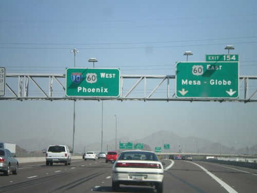
I-10 west at Exit 154 - US-60 East/Mesa-Globe. Sign for I-10/US-60 West/Phoenix. US-60 joins I-10 west through downtown Phoenix.

I-10 West - Exit 155 and Exit 154

I-10 West - Exit 155 and Exit 154

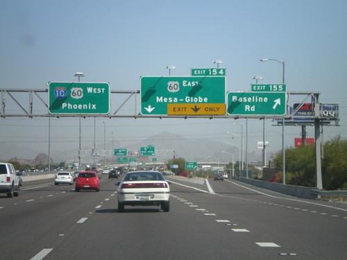
I-10 west at Exit 155 - Baseline Road. Approaching Exit 154 - US-60 East/Mesa-Globe. Sign for I-10/US-60 West/Phoenix.

Mesa

Dobson Road North At AZ-202 Loop

Dobson Road North At AZ-202 Loop

Dobson Road North At AZ-202 Loop in Mesa.

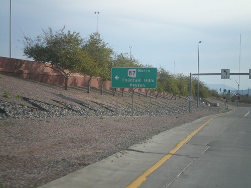
AZ-202 Loop East at AZ-87

AZ-202 Loop East at AZ-87

AZ-202 Loop East, Exit 13 offramp, at AZ-87. Use AZ-87 north for Fountain Hills and Payson.
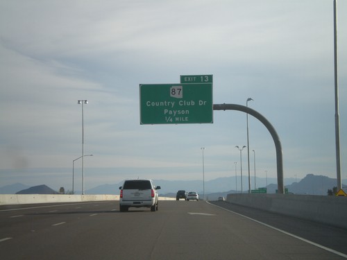
AZ-202 Loop East - Exit 13

AZ-202 Loop East - Exit 13

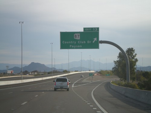
AZ-202 Loop east at Exit 13 - AZ-87/Country Club Drive/Payson.

AZ-202 Loop East Approaching Exit 13

AZ-202 Loop East Approaching Exit 13

AZ-202 Loop East approaching Exit 13 - AZ-87/Country Club Drive/Payson.
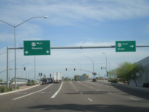
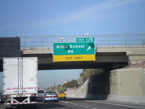
US-60 West - Exit 178

US-60 West - Exit 178

US-60 west at Exit 178 - Alma School Road.

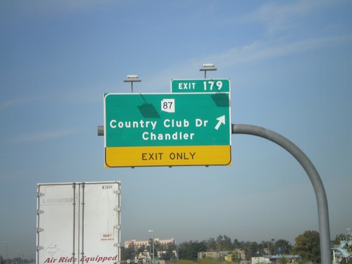
US-60 West - Exit 179

US-60 West - Exit 179

US-60 west at Exit 179 - AZ-87/Country Club Drive/Chandler

Mesa Drive North at US-60

Mesa Drive North at US-60

Mesa Drive north at US-60. Use US-60 west for Phoenix. Use US-60 east for Globe.
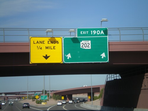
US-60 West - Exit 180

US-60 West - Exit 180

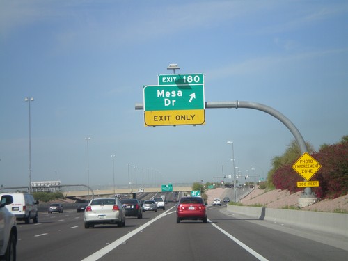
US-60 west at Exit 180 - Mesa Drive

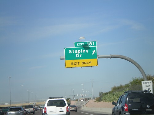
US-60 West - Exit 181

US-60 West - Exit 181

US-60 west at Exit 181 - Stapley Drive

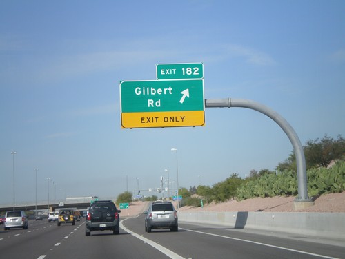
US-60 West - Exit 182

US-60 West - Exit 182

US-60 west at Exit 182 - Gilbert Road

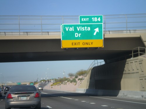
US-60 West - Exit 184

US-60 West - Exit 184

US-60 west at Exit 184 - Val Vista Drive.

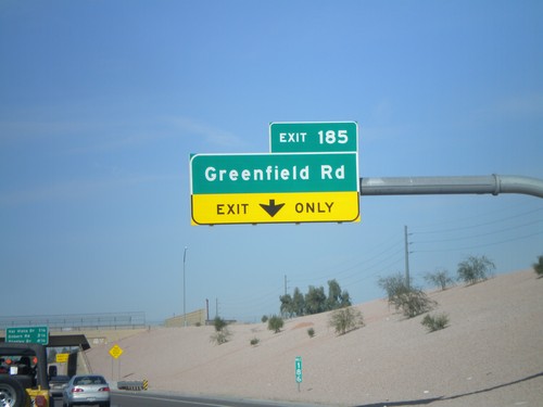
US-60 West - Exit 185

US-60 West - Exit 185

US-60 west at Exit 185 - Greenfield Road

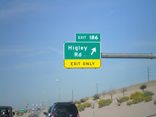
US-60 West - Exit 186

US-60 West - Exit 186

US-60 west at Exit 186 - Higley Road.

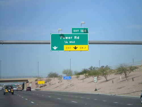
US-60 West Approaching Exit 188

US-60 West Approaching Exit 188

US-60 west approaching Exit 188 - Power Road.

US-60 West - Exit 190A

US-60 West - Exit 190A

US-60 west at Exit 190A - AZ-202 Loop. This is the eastern extent of the AZ-202 Loop.
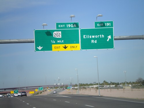
US-60 West - Exits 191 and 190A

US-60 West - Exits 191 and 190A

US-60 west at Exit 191 - Ellsworth Road. Approaching Exit 190A - AZ-202 Loop.
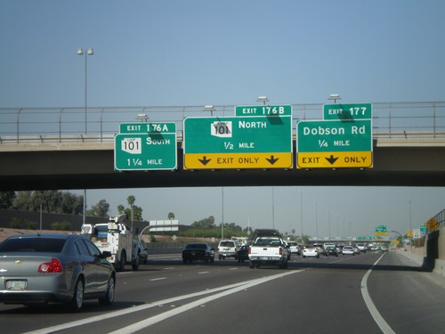
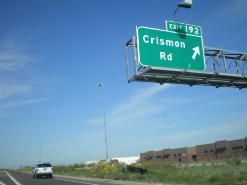
US-60 West - Exit 192

US-60 West - Exit 192

US-60 west at Exit 192 - Crismon Road.

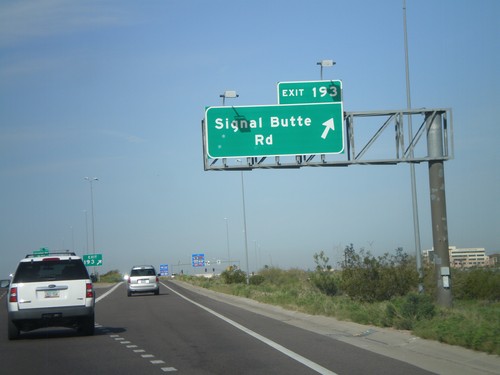
US-60 West - Exit 193

US-60 West - Exit 193

US-60 west at Exit 193 - Signal Butte Road.

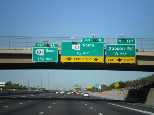
US-60 West Approaching Exit 177 and Exit 176AB

US-60 West Approaching Exit 177 and Exit 176AB

US-60 west approaching Exit 177 - Dobson Road. Approaching Exit 176B - AZ-101 Loop North and Exit 176A - AZ-101 Loop South.

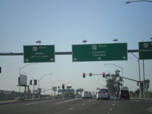
AZ-87 South at US-60

AZ-87 South at US-60

AZ-87 South (Country Club Dr) at US-60 west to Phoenix and east to Globe. Continue south on AZ-87 to Chandler and Coolidge.

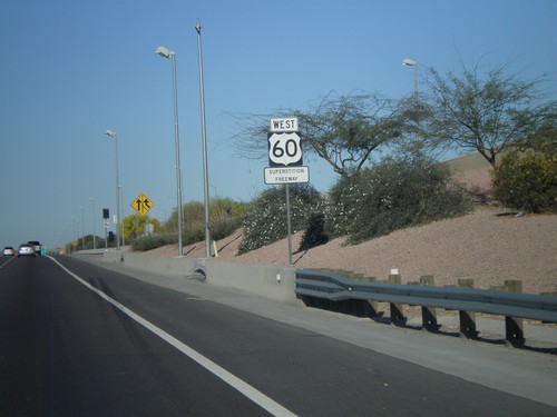
US-60 West - Superstition Freeway

US-60 West - Superstition Freeway

US-60 West - Superstition Freeway

US-60 West approaching Exit 176AB and Exit 177

US-60 West approaching Exit 176AB and Exit 177

US-60 west at Exit 177 - Dobson Road. Approaching Exit 176B - AZ-101 Loop North and Exit 176A - AZ-101 Loop South.

Morristown
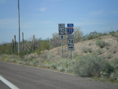
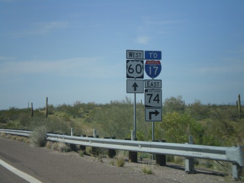
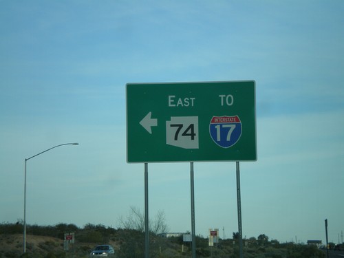
US-60 West at AZ-74/To I-17

US-60 West at AZ-74/To I-17

US-60 west at AZ-74 East/To I-17. Use AZ-74 east to connect to I-17 at the north edge of the Phoenix Metro. area.

US-60 West Approaching AZ-74

US-60 West Approaching AZ-74

US-60 west approaching AZ-74, To I-17. AZ-74 cuts across the north end of the Phoenix Metropolitan Area between US-60 on the west to I-17 on the east.

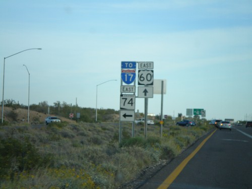
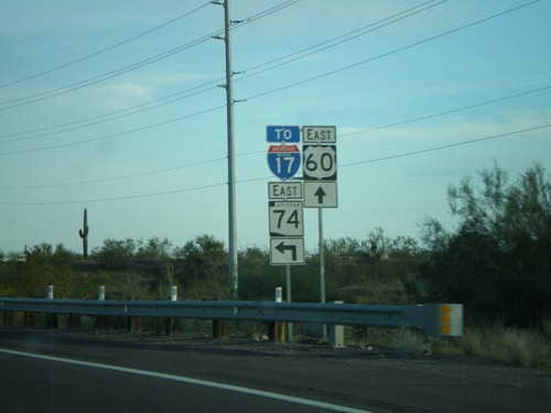
US-60 East at AZ-74

US-60 East at AZ-74

US-60 east at AZ-74 east to I-17.

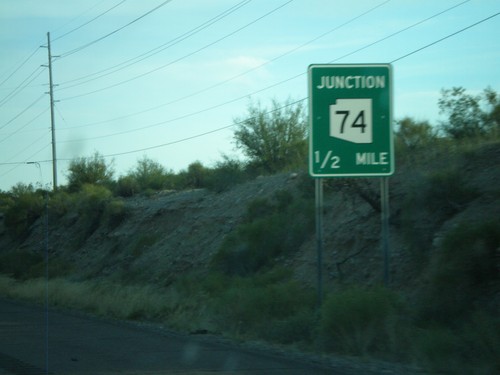
US-60 East Approaching AZ-74

US-60 East Approaching AZ-74

US-60 east approaching AZ-74 east to I-17.

US-60 East Approaching AZ-74

US-60 East Approaching AZ-74

US-60 east approaching AZ-74 east to I-17.

US-60 East Approaching AZ-74

US-60 East Approaching AZ-74

US-60 east approaching AZ-74.

Peoria

US-60 West at AZ-101 Loop

US-60 West at AZ-101 Loop

US-60 west at AZ-101 Loop. Turn right for AZ-101 Loop north. Continue ahead for AZ-101 Loop south. The AZ-101 Loop shields are blue here, although new AZ-101 Loop signs are traditional black and white.

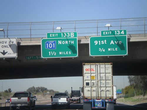
I-10 West Approaching Exits 134 and 133B

I-10 West Approaching Exits 134 and 133B

I-10 west approaching Exit 134 - 91st Ave, and Exit 133B - AZ-101 Loop North. AZ-101 Loop shield is blue here.

AZ-101 Loop South - Exit 11

AZ-101 Loop South - Exit 11

AZ-101 Loop South at Exit 11 - To US-60/Grand Ave./91st Ave.

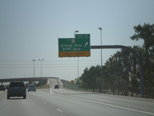
AZ-101 Loop South Approaching Exit 11

AZ-101 Loop South Approaching Exit 11

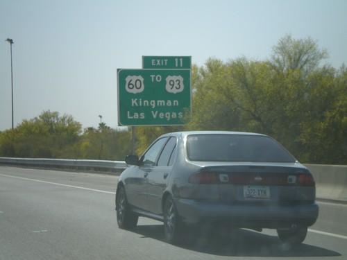
AZ-101 Loop South approaching Exit 11. Use Exit 11 for US-60/To US-93/Kingman/Las Vegas.

Phoenix

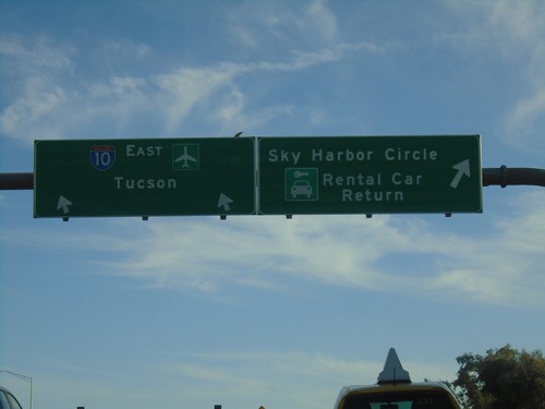
I-10 East - Exit 148 Offramp

I-10 East - Exit 148 Offramp

I-10 East - Exit 148 Offramp in Phoenix. Use right lane for Sky Harbor Circle/Rental Car Return. Use left lane to return to I-10 East towards Tucson.
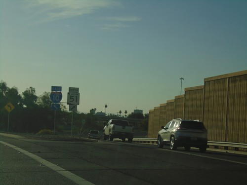
End AZ-202 Loop West at I-10/AZ-51

End AZ-202 Loop West at I-10/AZ-51

End AZ-202 Loop West at I-10/AZ-51 in Phoenix. Use right lane for AZ-51; left lane for I-10 East.
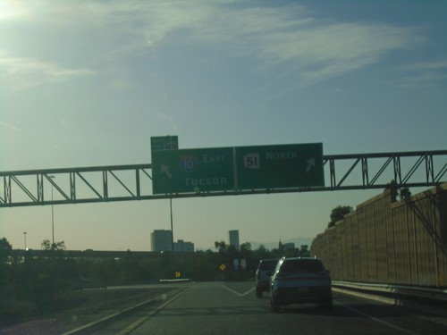
End AZ-202 Loop West at I-10 and AZ-51

End AZ-202 Loop West at I-10 and AZ-51

End AZ-202 Loop West at I-10 and AZ-51 in Phoenix. Use right lane for AZ-51 North; left lane for I-10 East/Tucson.
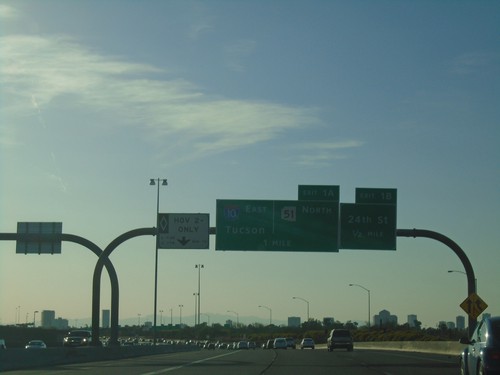
AZ-202 Loop West - Exits 1B and 1A

AZ-202 Loop West - Exits 1B and 1A

AZ-202 Loop West approaching Exit 1B - 24th St. Approaching Exit 1A - 1-10 East/Tucson/AZ-51 North.
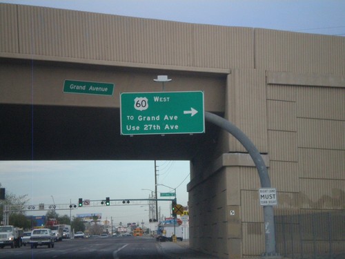
US-60 West - Thomas Road at 27th Ave.

US-60 West - Thomas Road at 27th Ave.

US-60 west (Thomas Road) at 27th Ave. Turn right on 27th Ave. to continue on US-60 west.
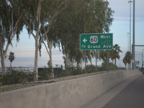
I-17 North - Exit 201 Offramp at US-60

I-17 North - Exit 201 Offramp at US-60

I-17 North - Exit 201 offramp at US-60. Turn left for US-60/To Grand Ave.
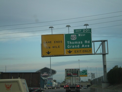
I-17 North - Exit 201

I-17 North - Exit 201

I-17 north at Exit 201 - US-60 West/Thomas Road/Grand Ave. US-60 west leaves I-17 north here.
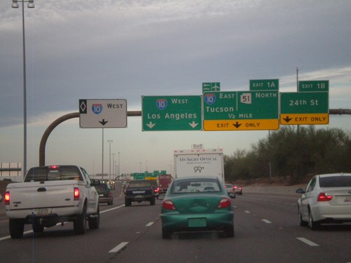
AZ-202 Loop West - Exits 1B and 1A

AZ-202 Loop West - Exits 1B and 1A

AZ-202 Loop west at Exit 1B - 24th St. Approaching Exit 1A - I-10 East/Tucson/AZ-51 North. Continue ahead for I-10 west for Los Angeles. The left most lane is for I-10 west HOV traffic.
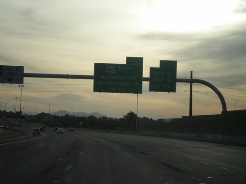
AZ-202 Loop East - Exit 3

AZ-202 Loop East - Exit 3

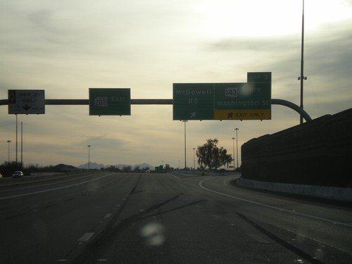
AZ-202 Loop East at Exit 3 - AZ-143 South/Washington St./McDowell Road.

AZ-202 Loop East Approaching Exits 2 and 3

AZ-202 Loop East Approaching Exits 2 and 3

AZ-202 Loop East approaching Exit 2 - 40th St./44th St. Approaching Exit 3 - AZ-143 South/McDowell Road/Washington St.
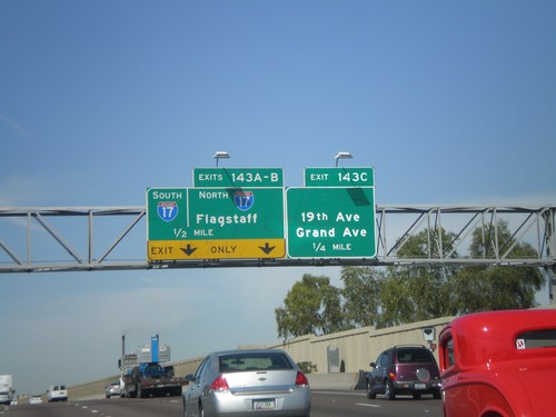
N. 24th St. at AZ-202 Loop East

N. 24th St. at AZ-202 Loop East

N. 24th St. at AZ-202 Loop East onramp.

N. 24th St. Approaching AZ-202 Loop and I-10

N. 24th St. Approaching AZ-202 Loop and I-10

N. 24th St. approaching AZ-202 Loop and I-10.

I-10 West - Exit 135

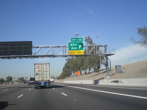
I-10 West - Exit 135

I-10 west at Exit 135 - 83rd Ave.

I-10 West - Exit 136A

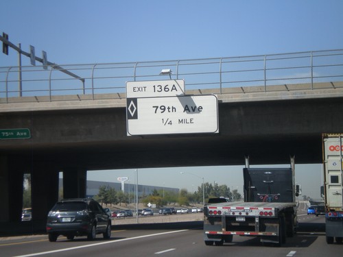
I-10 West - Exit 136A

I-10 west approaching Exit 136A - 79th Ave. This is a HOV interchange.

I-10 West - Exit 136B

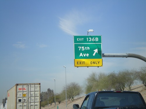
I-10 West - Exit 136B

I-10 West at Exit 136B - 75th Ave.

I-10 West - Exit 137

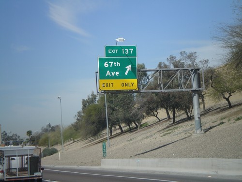
I-10 West - Exit 137

I-10 west at Exit 137 - 67th Ave.

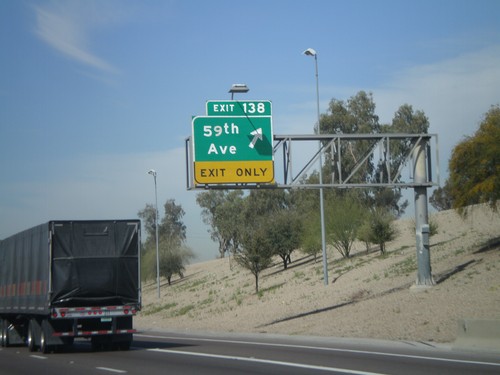
I-10 West - Exit 138

I-10 West - Exit 138

I-10 west at Exit 138 - 59th Ave.

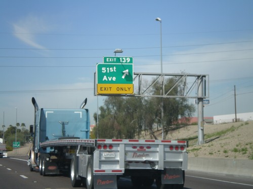
I-10 West - Exit 139

I-10 West - Exit 139

I-10 west at Exit 139 - 51st Ave.

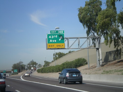
I-10 West - Exit 140

I-10 West - Exit 140

I-10 west at Exit 140 - 43rd Ave

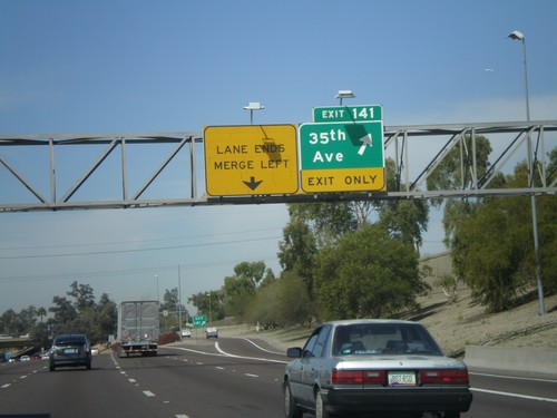
I-10 West - Exit 141

I-10 West - Exit 141

I-10 west at Exit 141 - 34th Ave

I-10 West - Exit 143

I-10 West - Exit 143

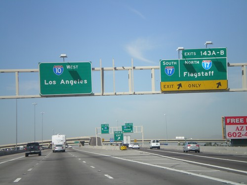
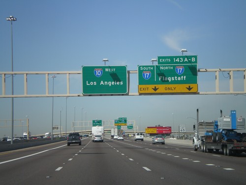
I-10 west at Exit 143A - I-17 North/Flagstaff and Exit 143B - I-17 South.

I-10 West - Exits 143 AB

I-10 West - Exits 143 AB

I-10 west approaching Exit 143 A-B - I-17 North/Flagstaff/I-17 South.

I-10 West - Exit 143C

I-10 West - Exit 143C

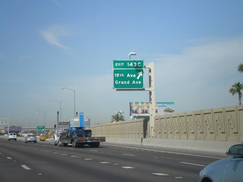
I-10 west at Exit 143C - 19th Ave./Grand Ave.

I-10 West Approaching Exits 143 A-C

I-10 West Approaching Exits 143 A-C

I-10 west approaching Exit 143C - 19th Ave./Grand Ave. Also approaching Exit 143AB - I-17 North/Flagstaff/I-17 South
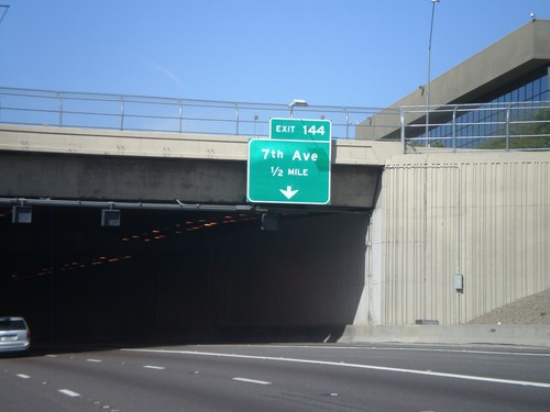
I-10 West Approaching Exit 144

I-10 West Approaching Exit 144

I-10 west approaching Exit 144 - 7th Ave. Entering the Papago Freeway Tunnel.
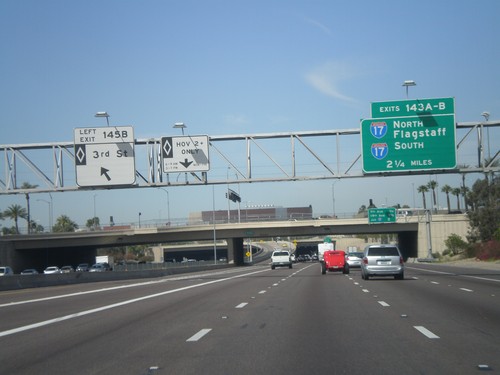
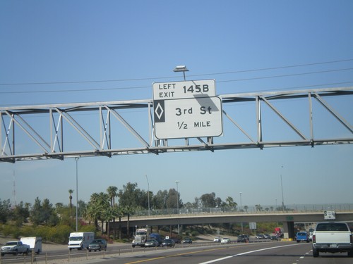
I-10 West - Exit 145B and Exit 143 AB

I-10 West - Exit 145B and Exit 143 AB

I-10 west at Exit 145B - 3rd St. (HOV). Approaching Exits 143AB - I-17 North/Flagstaff and I-17 South.
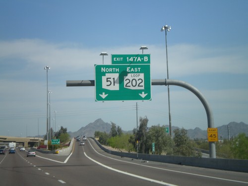
I-10 West - Exit 145A

I-10 West - Exit 145A

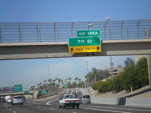
I-10 west at Exit 145A - 7th St.

I-10 West - Exit 145B (HOV)

I-10 West - Exit 145B (HOV)

I-10 west approaching Exit 145B - 3rd St. (HOV).

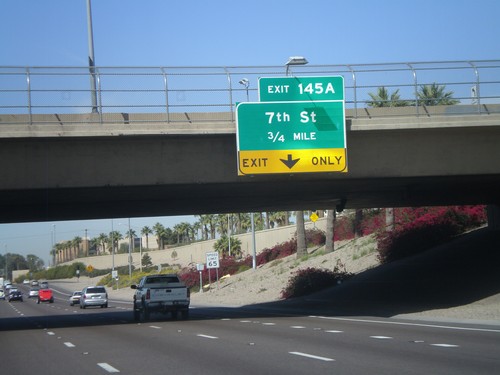
I-10 West - Exit 145A

I-10 West - Exit 145A

I-10 west approaching Exit 145A - 7th St.

I-10 West - Exits 147A and B

I-10 West - Exits 147A and B

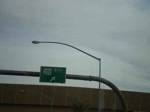
I-10 west at Exit 147B - AZ-51 North. Approaching Exit 147A - AZ-202 Loop East.
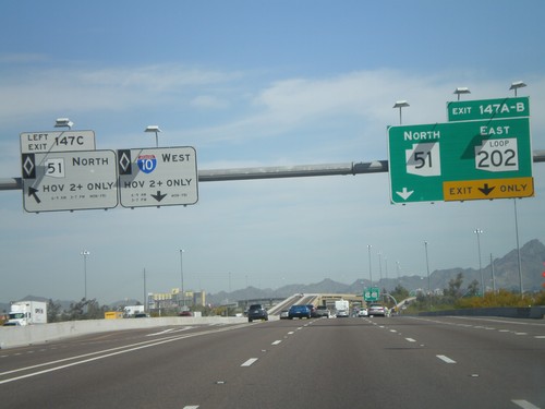
I-10 West - Exits 147 A, B, and C

I-10 West - Exits 147 A, B, and C

I-10 west at Exit 147C - AZ-51 North (HOV). Approaching Exit 147B - AZ-51 North and Exit 147A - AZ-202 Loop East.
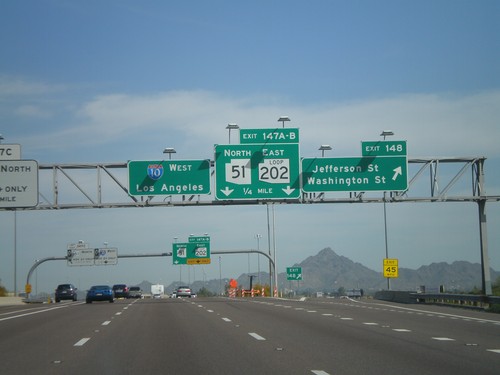
I-10 West - Exits 148 and 147AB

I-10 West - Exits 148 and 147AB

I-10 west at Exit 148 - Jefferson St./Washington St. Approaching Exits 148A-B - AZ-51 North/AZ-202 Loop East.
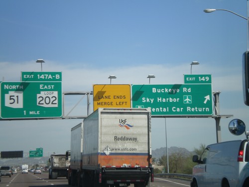
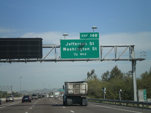
I-10 West Approaching Exit 148

I-10 West Approaching Exit 148

I-10 west approaching Exit 148 - Jefferson St./Washington St.

I-10 West - Exits 149 and Exit 147AB

I-10 West - Exits 149 and Exit 147AB

I-10 west at Exit 149 - Buckeye Road/Sky Harbor Airport/Rental Car Return. Approaching Exit 147B - AZ-51 North and Exit 147A - AZ-202 Loop East.
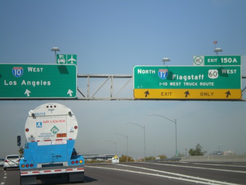
I-10 West - Exit 150

I-10 West - Exit 150

I-10 west at Exit 150A - I-17 North/Flagstaff/US-60 West/I-10 West Truck Route. US-60 west leaves I-10 west here.
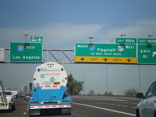
I-10 West - Exits 150B and 150A

I-10 West - Exits 150B and 150A

I-10 west at Exit 150B - 24th St. Approaching Exit 150A - I-17 North/US-60 West/Flagstaff/I-10 West Truck Route. US-60 leaves I-10 west at I-17. Continue west on I-10 for Los Angeles and the Sky Harbor Airport.
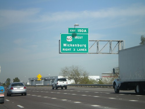
I-10 West Approaching Exit 150A

I-10 West Approaching Exit 150A

I-10 west approaching Exit 150A. Wickenburg bound traffic use US-60 west at Exit 150A.
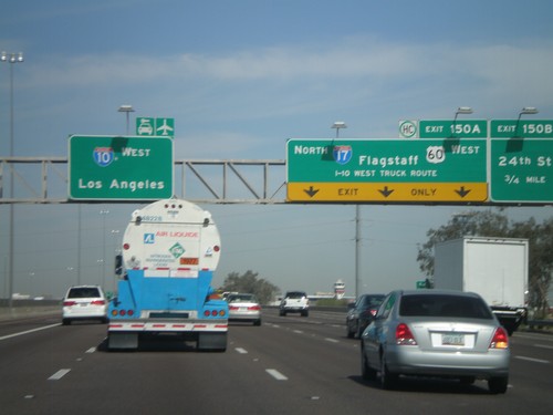
I-10 West - Exits 150B and 150A

I-10 West - Exits 150B and 150A

I-10 west approaching Exit 150B - 24th St. Approaching Exit 150A - I-17 North/US-60 West/Flagstaff/I-10 West Truck Route. I-10 continues west to Los Angeles. US-60 exits I-10 here and joins I-17 through downtown Phoenix.
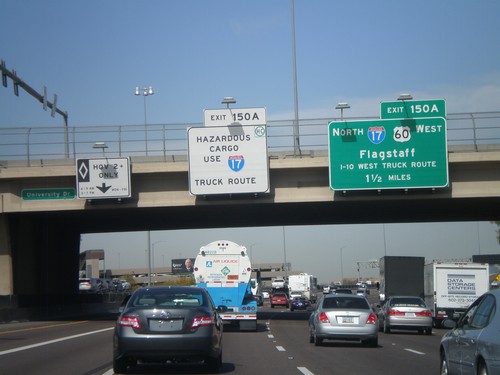
I-10 West Approaching Exit 150A

I-10 West Approaching Exit 150A

I-10 west approaching Exit 150A - I-17 North/US-60 West/Flagstaff/To I-10 West Truck Route. Hazardous cargo must use I-17 north through downtown Phoenix.
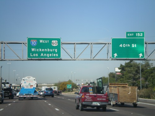
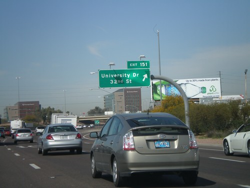
I-10 West - Exit 151

I-10 West - Exit 151

I-10 west at Exit 151 - University Drive/32nd St.

I-10 West - Exit 152

I-10 West - Exit 152

I-10/US-60 west at Exit 152 - 40th St. I-10 and US-60 continue west to Wickenburg (via US-60) and Los Angeles.
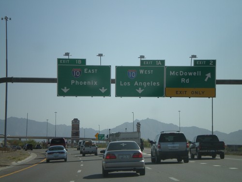
AZ-101 South - Exit 2 and Exit 1AB

AZ-101 South - Exit 2 and Exit 1AB

AZ-101 Loop South at Exit 2 - McDowell Road. Approaching Exit 1B - I-10 East/Phoenix.
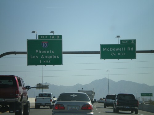
AZ-101 Loop South - Exit 2 and Exit 1AB

AZ-101 Loop South - Exit 2 and Exit 1AB

AZ-101 Loop South approaching Exit 2 - McDowell Road and Exit 1AB-I-10/Phoenix/Los Angeles.
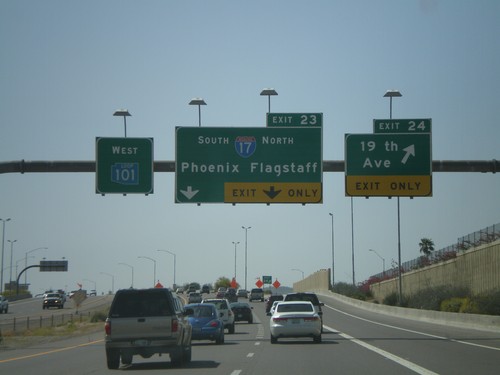
AZ-101 West -  Exit 23 and Exit 24

AZ-101 West - Exit 23 and Exit 24

AZ-101 Loop West at Exit 24 - 19th Ave. Approaching Exit 23 - I-17/Phoenix/Flagstaff. All of the loop highways around Phoenix have different color shields on the older signs. AZ-101 Loop has a blue shield.
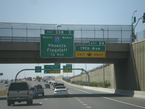
AZ-101 Loop West Approaching Exit 24 and Exit 23BC

AZ-101 Loop West Approaching Exit 24 and Exit 23BC

AZ-101 Loop West approaching Exit 24 - 19th Ave. Approaching Exit 23 - I-17/Phoenix/Flagstaff.
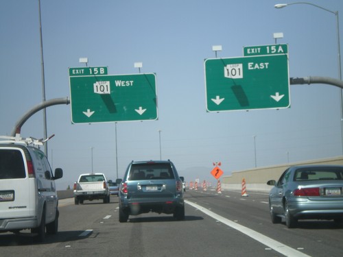
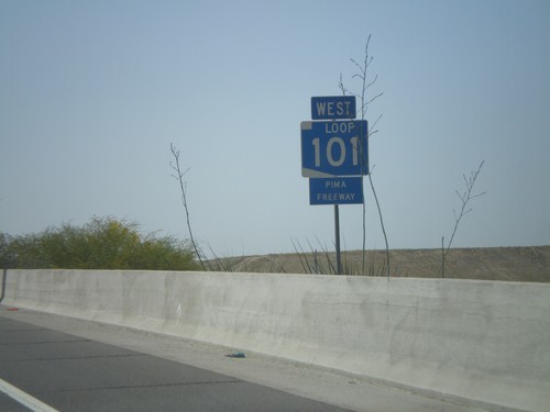
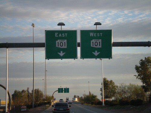
AZ-101 West - Pima Freeway

AZ-101 West - Pima Freeway

AZ-101 Loop West - Pima Freeway

End AZ-51 North at AZ-101 Loop

End AZ-51 North at AZ-101 Loop

End AZ-51 North at Exit 15A - AZ-101 Loop East and Exit 15B - AZ-101 Loop West.
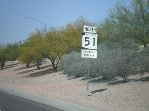
AZ-51 North -  Piestewa Freeway

AZ-51 North - Piestewa Freeway

AZ-51 North - Piestewa Freeway. Most freeways in the Phoenix area have names and are signed with the shields.
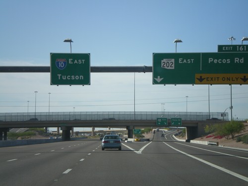
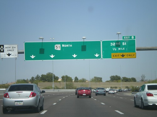
AZ-51 North - Exit 8

AZ-51 North - Exit 8

AZ-51 north at Exit 8 - 32nd St. No control city is given for AZ-51 North.

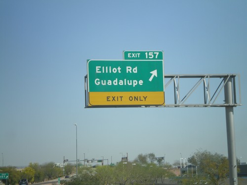
I-10 West - Exit 157

I-10 West - Exit 157

I-10 west at Exit 157 - Elliot Road/Guadalupe

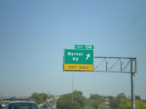
I-10 West - Exit 158

I-10 West - Exit 158

I-10 west at Exit 158 - Warner Road

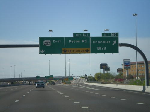
I-10 East - Exit 161

I-10 East - Exit 161

I-10 east at Exit 161 - AZ-202 Loop East/Pecos Road. Overhead for I-10 east to Tucson.
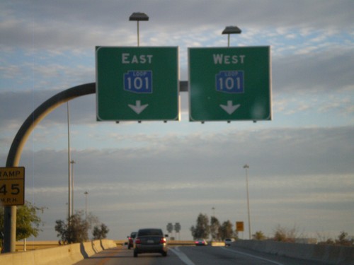
I-17 South at Exit 214C - AZ-Loop 101 Split

I-17 South at Exit 214C - AZ-Loop 101 Split

I-17 South at Exit 214C - AZ-101 Loop Split.

Blue AZ-101 Loop On I-17 South Exit 214C

Blue AZ-101 Loop On I-17 South Exit 214C

I-17 South at Exit 214C offramp. Use right lanes for AZ-101 Loop West

I-17 South at Exit 214C Offramp

I-17 South at Exit 214C Offramp

I-17 South at Exit 214C offramp. Use right lanes for AZ-101 Loop West

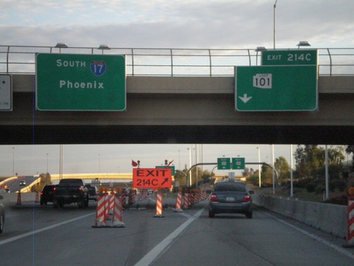
I-17 South at Exit 214C

I-17 South at Exit 214C

I-17 South at Exit 214C - AZ-101 Loop. I-17 continues south to Phoenix.

Piedra

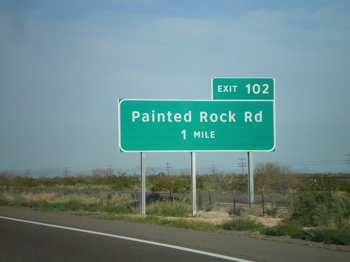
I-8 East - Exit 102

I-8 East - Exit 102

I-8 east at Exit 102 - Painted Rock Road.

Sentinel

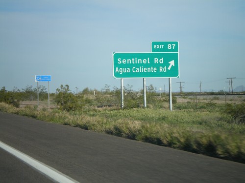
I-8 East - Exit 87

I-8 East - Exit 87

I-8 east at Exit 87 - Sentinel Road/Agua Caliente Road.

Surprise

AZ-303 Loop North at US-60

AZ-303 Loop North at US-60

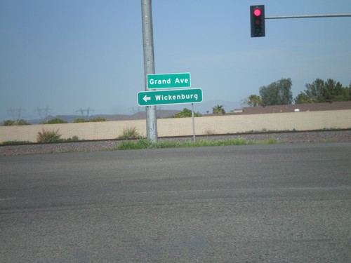
AZ-303 Loop North offramp at US-60/Grand Ave. Use US-60 west for Wickenburg.

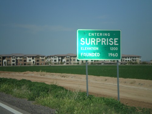
AZ-303 Loop North - Entering Surprise

AZ-303 Loop North - Entering Surprise

Entering Surprise on AZ-303 Loop North.

Tempe

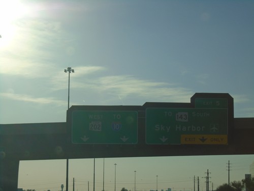
AZ-202 Loop West - Exit 5

AZ-202 Loop West - Exit 5

AZ-202 Loop West at Exit 5 - To AZ-143 South/Sky Harbor Airport. Continue west on AZ-202 Loop for I-10.
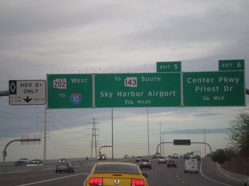
AZ-202 Loop West Approaching Exits 6 and 5

AZ-202 Loop West Approaching Exits 6 and 5

AZ-202 Loop west approaching Exit 6 - Center Parkway/Priest Drive and Exit 7 - To AZ-143 South/Sky Harbor Airport. AZ-202 Loop continues west towards I-10. The left most lane is a HOV lane.
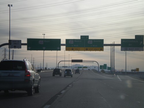
AZ-202 Loop East - Exits 8 and 9

AZ-202 Loop East - Exits 8 and 9

AZ-202 Loop East at Exit 8 - McClintock Road. Approaching Exit 9 - AZ-101 Loop. The left lane is designated for HOV traffic.
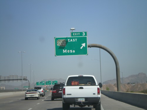
Scottsdale Road South at AZ-202 Loop

Scottsdale Road South at AZ-202 Loop

Scottsdale Road south at AZ-202 Loop.

AZ-143 North - Exit 3

AZ-143 North - Exit 3

AZ-143 north at Exit 3 - AZ-202 Loop/Mesa. All of the loop roads in the Phoenix area have different color shields. AZ-202 Loop has a brown shield.
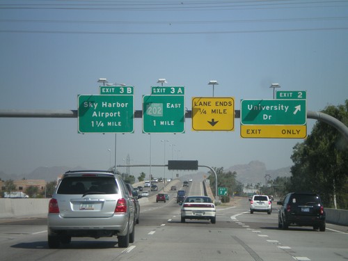
AZ-143 North -  Exit 2 and Exit 3AB

AZ-143 North - Exit 2 and Exit 3AB

AZ-143 north at Exit 2 - University Drive. Approaching Exit 3A - AZ-202 Loop East and Exit 3B - Sky Harbor Airport. The AZ-202 Loop shield appears to be faded. Normally AZ-202 Loop is a brown color.
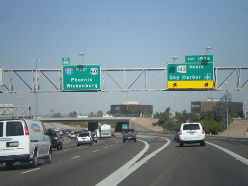
I-10 West -  Exit 153A

I-10 West - Exit 153A

I-10 west at Exit 153A - AZ-143 North/Sky Harbor Airport. Continue west for I-10/US-60 West/Phoenix/Wickenburg (via US-60).
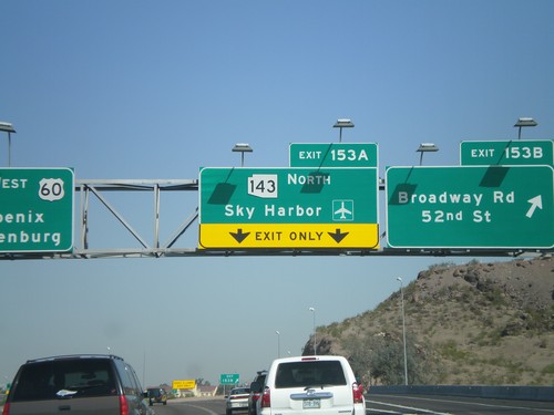
I-10 West - Exit 153B and Exit 153A

I-10 West - Exit 153B and Exit 153A

I-10 west at Exit 153B - Broadway Road/52nd St. Approaching Exit 153A - AZ-143 North/Sky Harbor Airport.
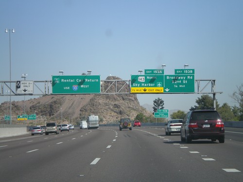
I-10 West - Exit 153A and Exit 153B

I-10 West - Exit 153A and Exit 153B

I-10 west approaching Exit 153B - Broadway Rd./52nd St. and Exit 153A - AZ-143 North/Sky Harbor Airport. Use I-10 west for Rental Car Returns.
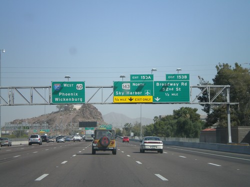
I-10 West Approaching  Exit 153A and Exit 153B

I-10 West Approaching Exit 153A and Exit 153B

I-10 west approaching Exit 153B - Broadway Road/52nd St. Approaching Exit 153A - AZ-143 North/Sky Harbor Airport. Overhead for I-10/US-60 West/Phoenix/Wickenburg (via US-60).
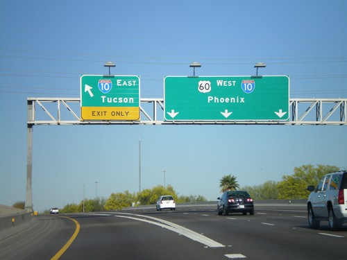
US-60 West at I-10

US-60 West at I-10

US-60 west at Exit I-10. Use I-10 east for Tucson. US-60 west joins I-10 west towards Phoenix.

US-60 West at Exit 172 Approaching I-10

US-60 West at Exit 172 Approaching I-10

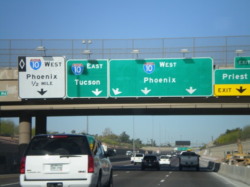
US-60 west at Exit 172 - Priest Drive. Approaching I-10/Phoenix/Tucson. I-10 westbound HOV lane on left lane.

US-60 West - Exit 176A and Exit 175

US-60 West - Exit 176A and Exit 175

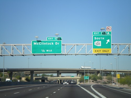
US-60 west at Exit 176A - AZ-101 Loop South. Approaching Exit 175 - McClintock Drive.

Tolleson

I-10 West at Exit 133A

I-10 West at Exit 133A

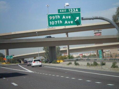
I-10 west at Exit 133A - 99th Ave/107th Ave

I-10 West at Exit 133B

I-10 West at Exit 133B

I-10 west at Exit 133B - AZ-101 Loop North. This is the western end of the AZ-101 Loop. I-10 continues west to Los Angeles.
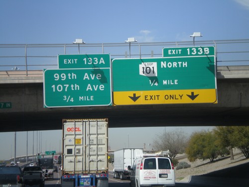
I-10 West - Exits 133B and 133A

I-10 West - Exits 133B and 133A

I-10 west approaching Exit 133B - AZ-101 Loop North. Also approaching Exit 133A - 99th Ave./107th Ave.

I-10 West - Exits 134 and Exit 133B

I-10 West - Exits 134 and Exit 133B

I-10 west at Exit 134 - 91st Ave. Approaching exit 133B - AZ-101 Loop North. I-10 continues west to Los Angeles.

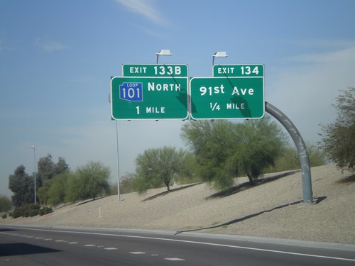
I-10 West Approaching Exits 134 and 133B

I-10 West Approaching Exits 134 and 133B

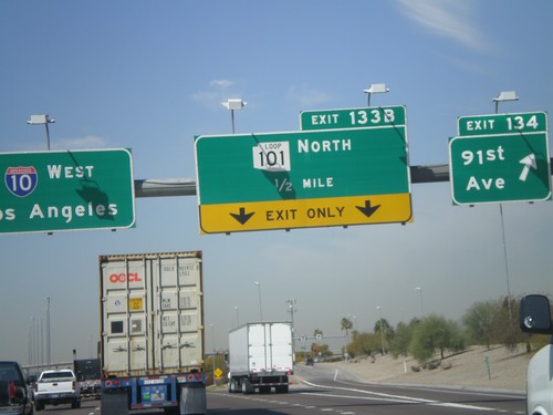
I-10 west approaching Exit 134 - 91st Ave. Also approaching Exit 133B - AZ-101 Loop North. This AZ-101 Loop sign is in blue. The three loop highways in the Phoenix area all were signed with different colors. All new signs are posted in black and white.

Tonopah

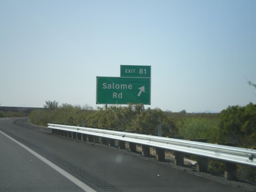
I-10 West -  Exit 81

I-10 West - Exit 81

I-10 west at Exit 81 - Salome Road

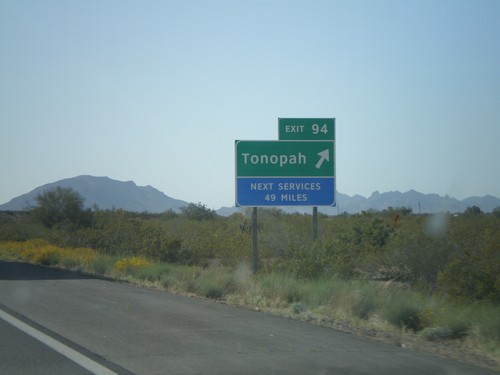
I-10 West - Exit 94

I-10 West - Exit 94

I-10 west at Exit 94 - Tonopah

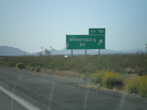
I-10 West - Exit 98

I-10 West - Exit 98

I-10 west at Exit 98 - Wintersburg Road

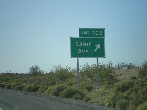
I-10 West - Exit 103

I-10 West - Exit 103

I-10 west at Exit 103 - 339th Ave.

Waddell

Olive Ave. Approaching AZ-303 Loop

Olive Ave. Approaching AZ-303 Loop

Olive Ave. east approaching AZ-303 Loop.

Wickenburg

US-93 North Approaching AZ-89 North

US-93 North Approaching AZ-89 North

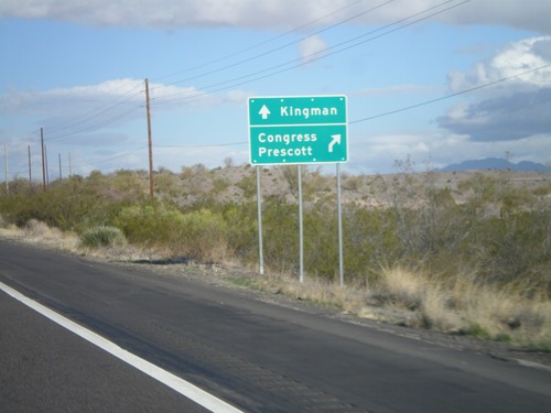
US-93 north approaching AZ-89 north. Use AZ-89 north for Congress and Prescott. Continue north on US-93 for Kingman.
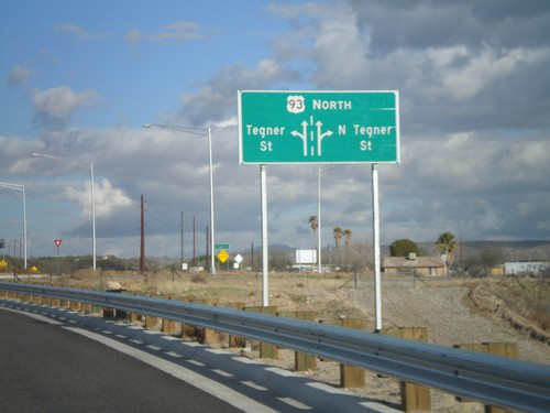
US-93 North - Tegner St. Roundabout

US-93 North - Tegner St. Roundabout

US-93 north at the Tegner St. roundabout. US-93 used to follow Tegner St. into downtown Wickenburg, until the bypass was completed in 2009.
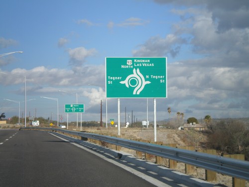
US-93 North Approaching Tegner St.

US-93 North Approaching Tegner St.

US-93 north approaching Tegner St. roundabout. Continue north on US-93 for Kingman and Las Vegas.
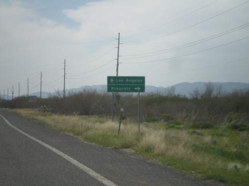
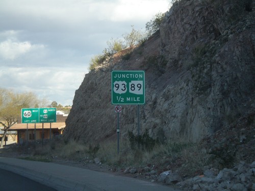
US-60 West Approaching US-93

US-60 West Approaching US-93

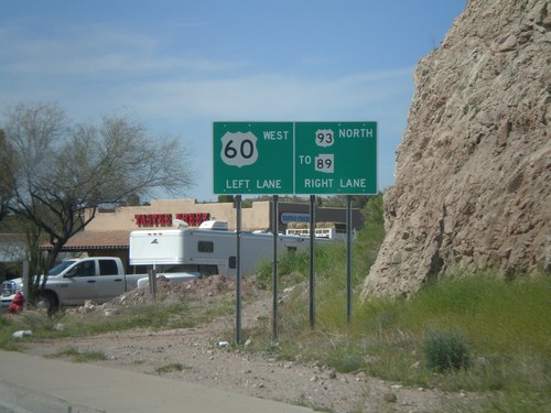
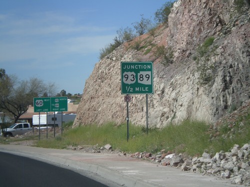
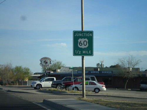
US-60 west approaching US-93, (To) AZ-89.

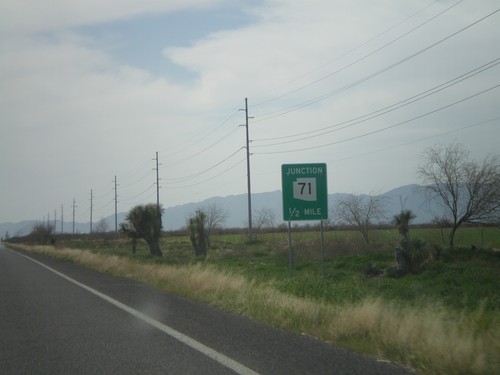
US-60 West Approaching AZ-71

US-60 West Approaching AZ-71

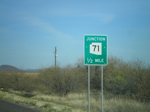
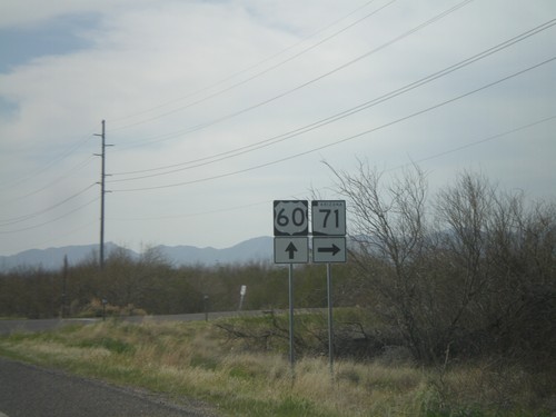
US-60 west approaching AZ-71. Use AZ-71 north for Prescott. Continue west on US-60 for Los Angeles.
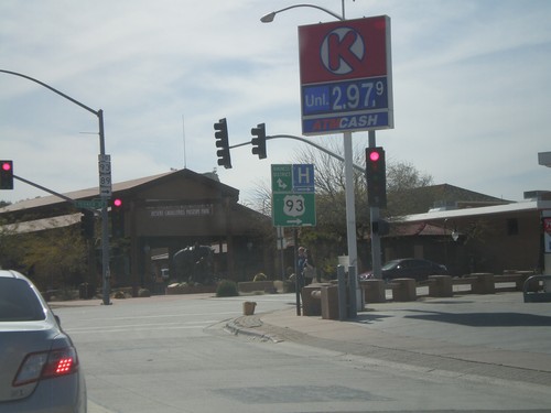
US-60 West Approaching AZ-71

US-60 West Approaching AZ-71

US-60 west approaching AZ-71.

US-60 West at Old US-93

US-60 West at Old US-93

US-60 west at former terminus of US-93, now signed as To US-93/To AZ-89. The main US-93/US-60 intersection was moved a half mile to the east and turned into a roundabout in 2009.
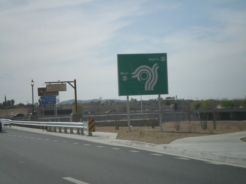
US-60 West at US-93

US-60 West at US-93

US-60 west at US-93 roundabout. This is the southern terminus of US-93.

US-60 West Approaching US-93

US-60 West Approaching US-93

US-60 west approaching US-93 at roundabout. This is a new alignment for US-60 and US-93, which moves a major intersection from the downtown area of Wickenburg
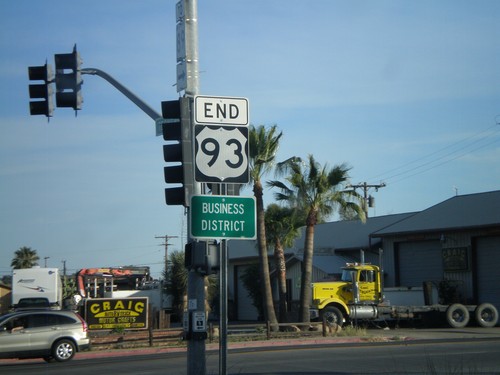
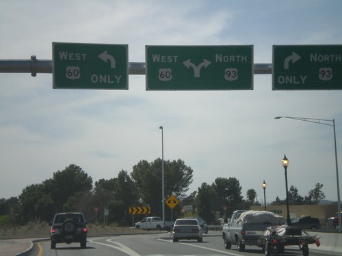
US-60 West Approaching US-93 To AZ-89

US-60 West Approaching US-93 To AZ-89

US-60 west approaching US-93 North/To AZ-89

US-60 West Approaching US-93

US-60 West Approaching US-93

US-60 west approaching US-93, (To) AZ-89.

End US-93 South at US-60

End US-93 South at US-60

End US-93 south at US-60. US-93 continues north from here to Eureka, MT and crosses into Canada at the Port of Roosville. US-93 becomes BC-93 and later AB-93 ending in Jasper, Alberta.
US-93 South Approaching US 60

US-93 South Approaching US 60

US-93 south approaching US-60.
US-93 South - Entering Wickenburg

US-93 South - Entering Wickenburg

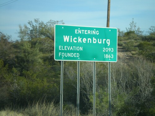
Entering Wickenburg on US-93 South. Elevation 2,093 Feet. Founded 1863.
US-60 East at AZ-71

US-60 East at AZ-71

US-60 east at AZ-71 north to Prescott. Continue on US-60 for Wickenburg and Phoenix.