El Dorado County, California
Localities: Cameron Park | Camino | El Dorado Hills | Nebelhorn | Perks Corner | Placerville | Pollock Pines | Shingle Springs | South Lake Tahoe
Cameron Park
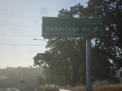
US-50 East - Exit 34
US-50 east at Exit 34 - Cambridge Road.
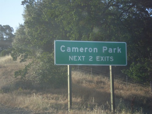
US-50 East - Cameron Park Exits
Cameron Park - Next 2 Exits on US-50 East.
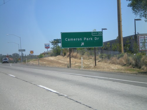
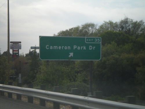
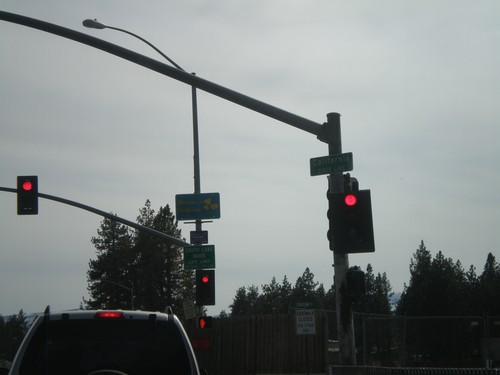
US-50 East - Exit 35
US-50 east at Exit 35 - Cameron Park Drive.
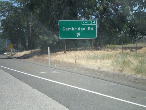
US-50 East - Exit 34
US-50 east at Exit 34 - Cambridge Road.
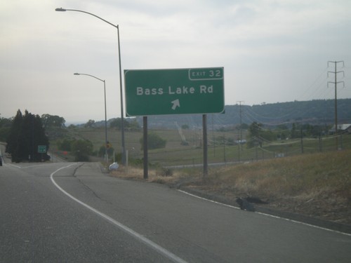
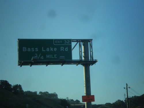
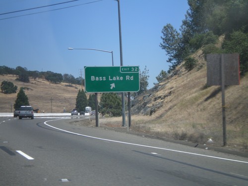
US-50 West - Exit 32
US-50 west at Exit 32 - Bass Lake Road
US-50 West - Exit 35
US-50 west at Exit 35 - Cameron Park Drive.
Camino
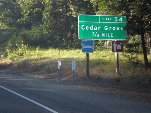
US-50 East - Exit 54
US-50 east approaching Exit 54 - Cedar Grove.
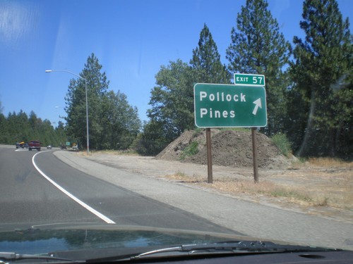
US-50 East - Exit 57
US-50 east at Exit 57 - Pollock Pines.
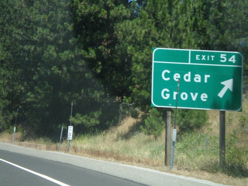
US-50 East - Exit 54
US-50 east at Exit 54 - Cedar Grove.
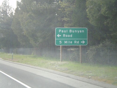
US-50 West at Five Mile Road
US-50 west at the Five Mile Road and Paul Bunyan Road intersection.
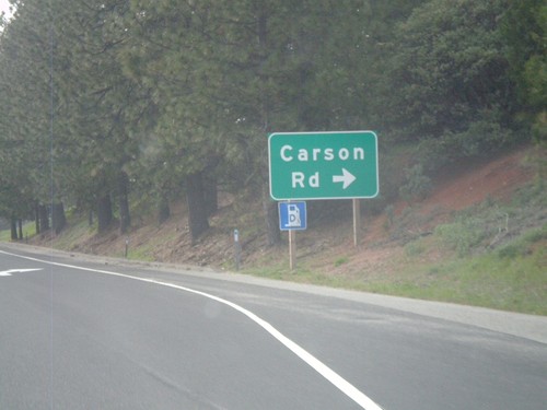
US-50 West Approaching Carson Road
US-50 west approaching Carson Road junction
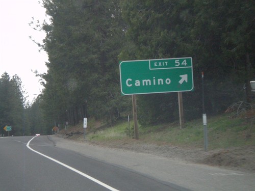
US-50 West - Exit 54
US-50 west at Exit 54 - Camino
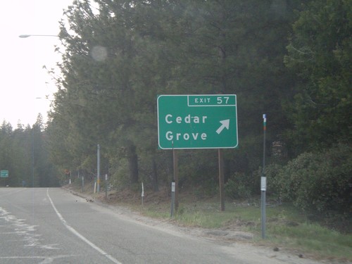
US-50 West - Exit 57
US-50 west at Exit 57 - Cedar Grove
El Dorado Hills
US-50 East - Exit 32
US-50 east approaching Exit 32 - Bass Lake Road.
US-50 East - Exit 32
US-50 east at Exit 32 - Bass Lake Road.
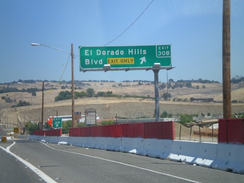
US-50 East - Exit 30B
US-50 east at Exit 30B - El Dorado Hills Blvd.
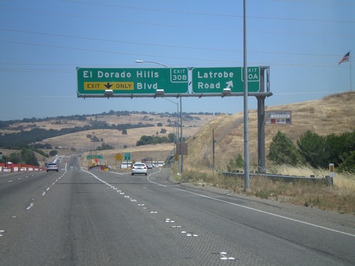
US-50 East - Exits 30A and 30B
US-50 east at Exit 30A - Latrobe Road. Approaching Exit 30B - El Dorado Hills Blvd.
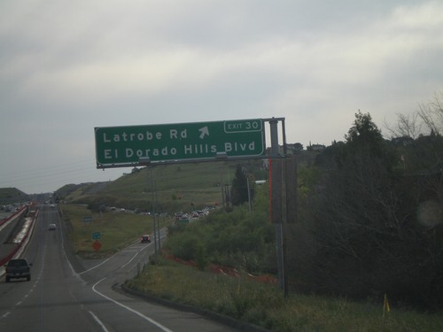
US-50 West - Exit 30
US-50 west at Exit 30 - Latrobe Road/El Dorado Hills Blvd.
Nebelhorn
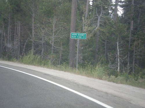
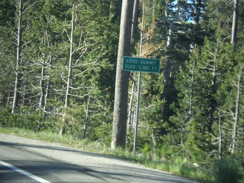
US-50 East - Echo Summit
US-50 each at Echo Summit -Elevation 7382 Feet. This is the summit of the Sierra Nevada on US-50 and the divide between the American River drainage and Lake Tahoe, which drains to the Truckee River.
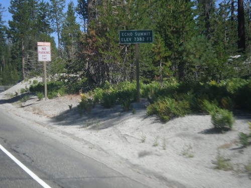
US-50 West - Echo Summit
US-50 west at Echo Summit -Elevation 7382 Feet. This is the summit of the Sierra Nevada on US-50 and the divide between the American River drainage and Lake Tahoe, which drains to the Truckee River.
US-50 East - Echo Summit
US-50 each at Echo Summit -Elevation 7382 Feet. This is the summit of the Sierra Nevada on US-50 and the divide between the American River drainage and Lake Tahoe, which drains to the Truckee River.
Perks Corner
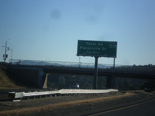
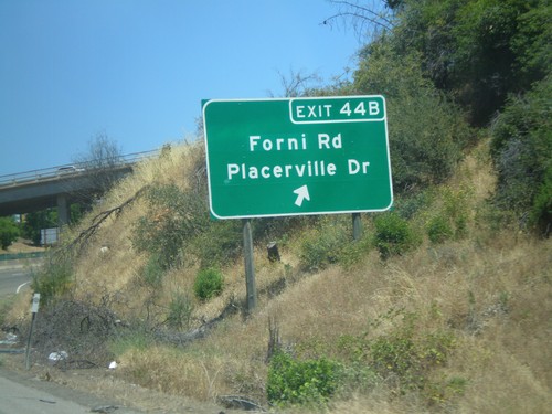
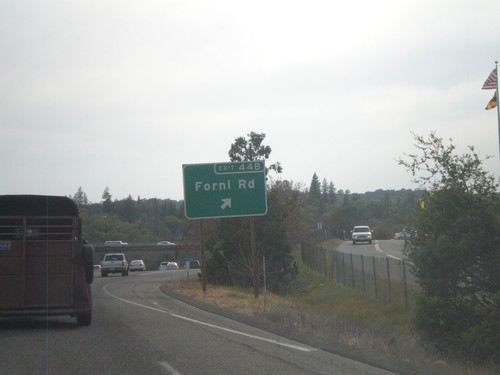
US-50 East - Exit 44B
US-50 east approaching Exit 44B - Forni Road/Placerville Drive.
Placerville
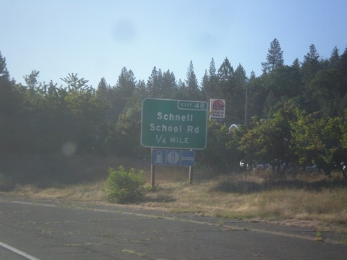
US-50 East - Exit 48
US-50 east approaching Exit 48 - Schnell School Road.
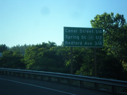
US-50 East - Placerville Intersections
Distance marker showing major cross streets in Placerville.
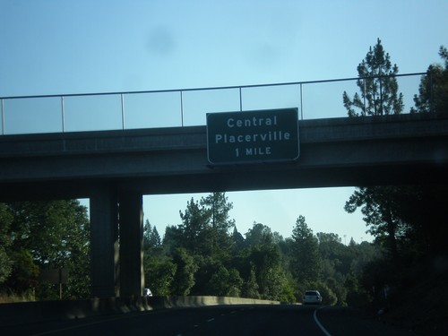
US-50 - Central Placerville
US-50 approaching Central Placerville. The US-50 freeway ends in central Placerville and becomes a city street for a few blocks through central Placerville.
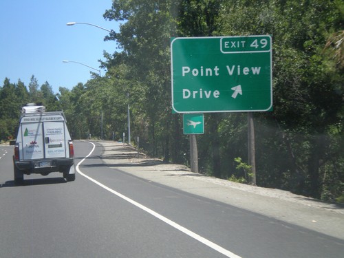
US-50 East - Exit 49
US-50 east at Exit 49 - Point View Drive.
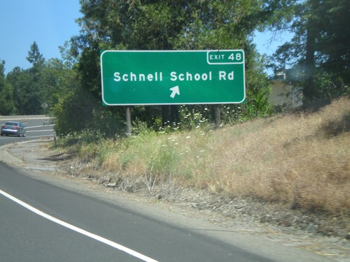
US-50 East - Exit 48
US-50 east at Exit 48 - Schnell School Road.
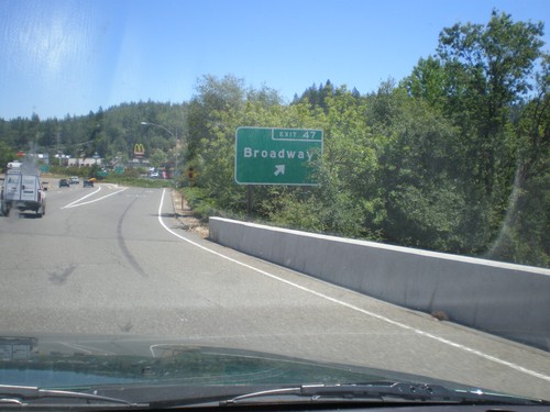
US-50 East - Exit 47
US-50 east at Exit 47 - Broadway.
US-50 East - Exit 44B
US-50 east at Exit 44B - Forni Road/Placerville Drive.
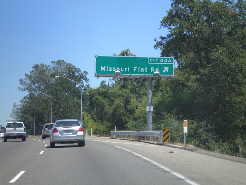
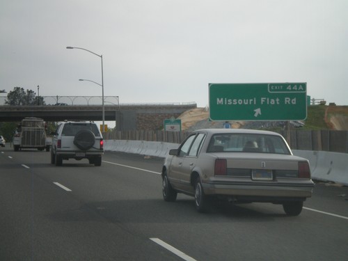
US-50 East - Exit 44A
US-50 east at Exit 44A - Missouri Flat Road.
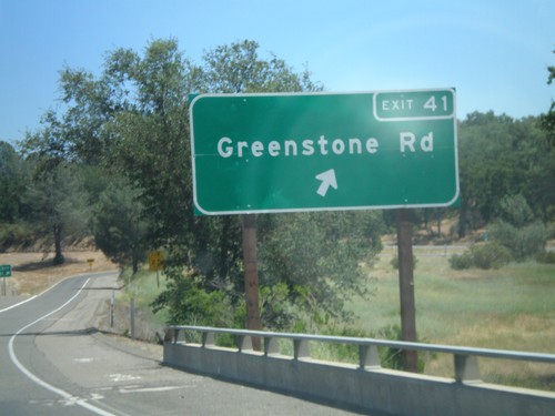
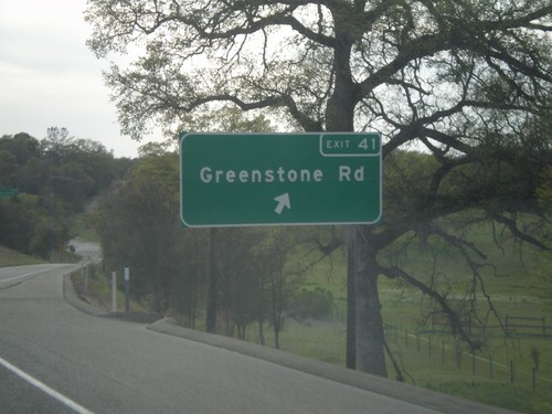
US-50 East - Exit 41
US-50 east at Exit 41 - Greenstone Road.
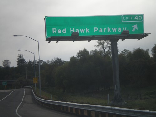
US-50 West - Exit 40
US-50 west at Exit 40 - Red Hawk Parkway.
US-50 West - Exit 41
US-50 west approaching Exit 41 - Greenstone Road.
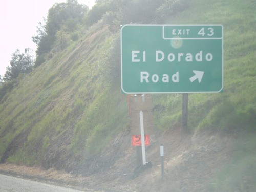
US-50 West - Exit 43
US-50 west at Exit 43 - El Dorado Road
US-50 West - Exit 44A
US-50 west at Exit 44A - Missouri Flat Road.
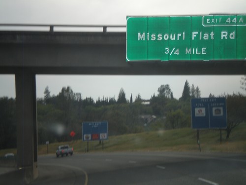
US-50 West Approaching Exit 44A
US-50 west approaching Exit 44A - Missouri Flat Road
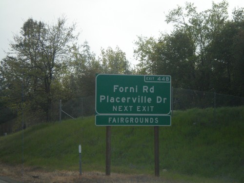
US-50 West - Exit 44B
US-50 west at Exit 44B - Forni Road
US-50 West Approaching Exit 44B
US-50 west approaching Exit 44B - Forni Road/Placerville Drive. Use Exit 44B for the El Dorado County Fairgrounds.
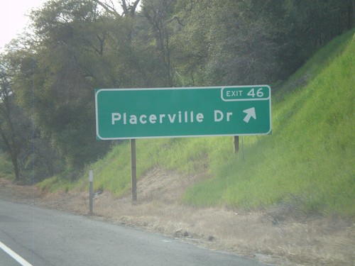
US-50 West - Exit 46
US-50 west at Exit 46 - Placerville Drive.
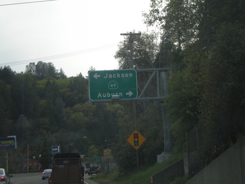
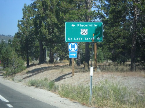
US-50 West at CA-49
US-50 west at CA-49. Use CA-49 north for Auburn; south for Jackson. US-50 through downtown Placerville is a surface street.
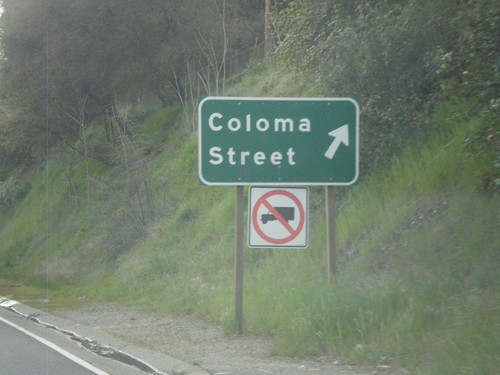
US-50 West at Coloma St.
US-50 west at Coloma St. exit.
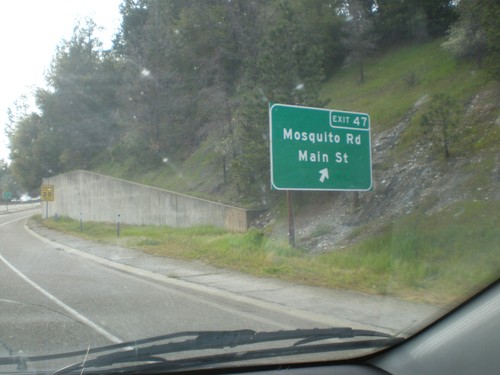
US-50 West - Exit 47
US-50 west at Exit 47 - Mosquito Road/Main St.
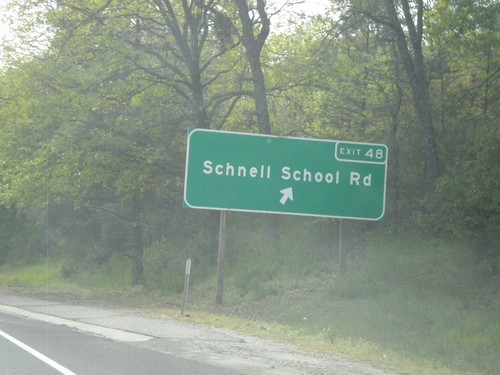
US-50 West - Exit 48
US-50 west at Exit 48 - Schnell School Road.
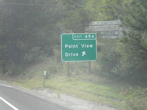
US-50 West - Exit 49A
US-50 west at Exit 49A - Point View Drive.
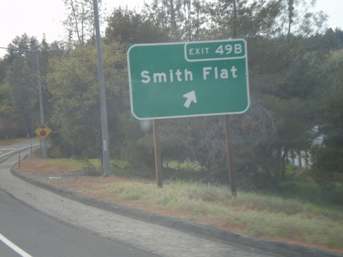
US-50 West - Exit 49B
US-50 west at Exit 49B - Smith Flat
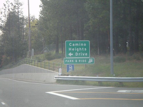
US-50 West at Camino Heights Road
US-50 west at Camino Heights Road interchange.
Pollock Pines
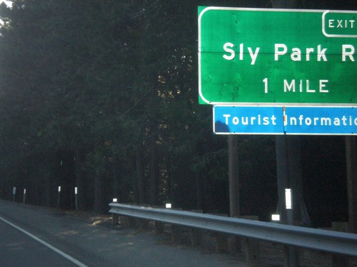
US-50 East - Exit 60
US-50 east approaching Exit 60 - Sly Park Road.
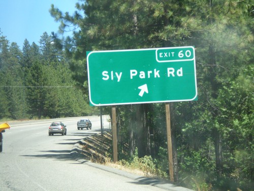
US-50 East - Exit 60
US-50 east at Exit 60 - Sly Park Road.
Shingle Springs
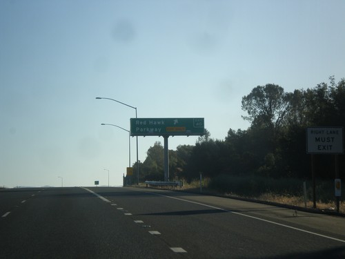
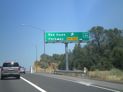
US-50 East - Exit 40
US-50 east at Exit 40 - Red Hawk Parkway.
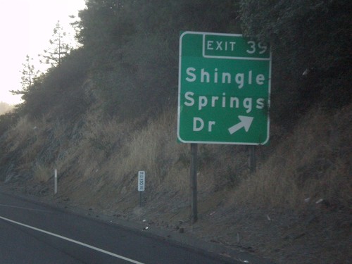
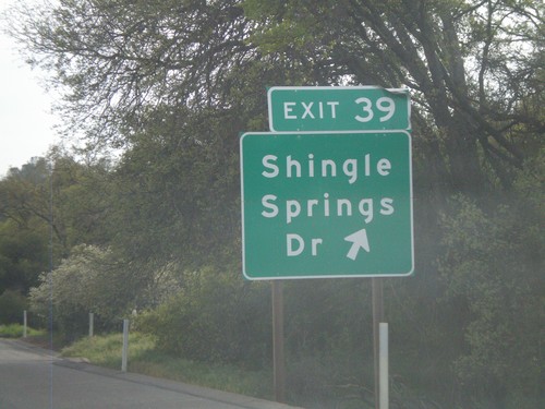
US-50 East - Exit 39
US-50 east at Exit 39 - Shingle Springs Drive.
US-50 East - Exit 37
US-50 east approaching Exit 37 - Ponderosa Drive.
US-50 East - Exit 40
US-50 east at Exit 40 - Red Hawk Parkway.
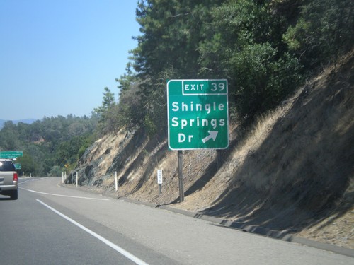
US-50 East - Exit 39
US-50 east at Exit 39 - Shingle Springs Drive.
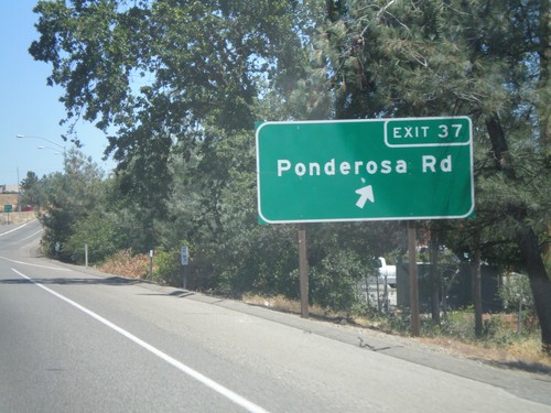
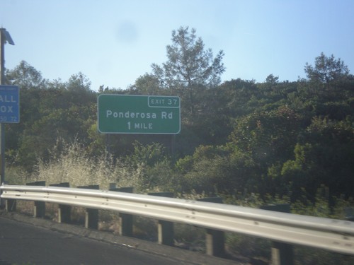
US-50 East - Exit 37
US-50 east at Exit 37 - Ponderosa Road.
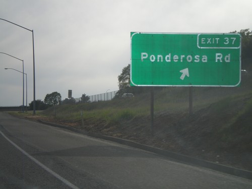
US-50 West - Exit 37
US-50 west at Exit 37 - Ponderosa Road.
US-50 West - Exit 39
US-50 west at Exit 39 - Shingle Springs Drive.
South Lake Tahoe
US-50 West/CA-89 South at US-50/CA-89 Split
US-50 West/CA-89 south at US-50/CA-89 split roundabout.
US-50 West/CA-89 South Approaching CA-89
US-50 west/CA-89 south approaching CA-89/US-50 split.
US-50 West/CA-89 South - South Lake Tahoe
US-50 West/CA-89 South in South Lake Tahoe at B St.
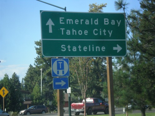
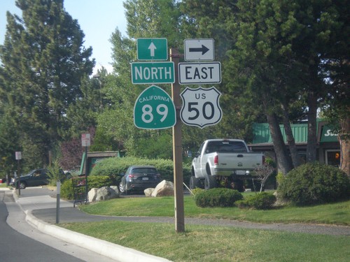
US-50 East/CA-89 North at US-50/CA-89 Split
US-50 East/CA-89 North at US-50/CA-89 split. Turn right to continue east on US-50 for Stateline (Nevada); continue north on CA-89 for Emerald Bay and Tahoe City.
US-50 East/CA-89 North at US-50/CA-89 Split
US-50 East/CA-89 North at US-50/CA-89 Split in South Lake Tahoe. Turn right to continue east on US-50.
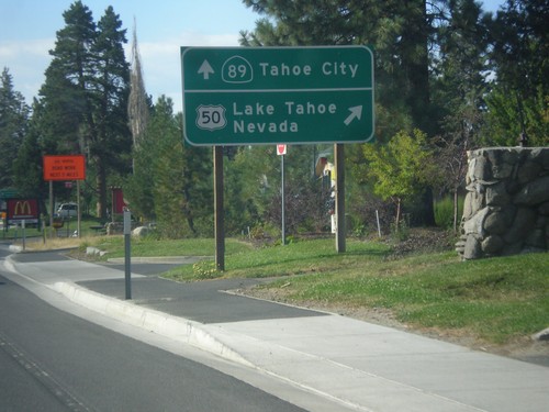
US-50 East/CA-89 North Approaching Split
US-50 East/CA-89 North Approaching US-50/CA-89 split. Merge right for US-50 east to Lake Tahoe Nevada; continue straight for CA-89 north to Tahoe City.
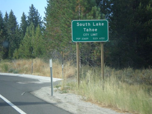
US-50 East - South Lake Tahoe
South Lake Tahoe City Limit on US-50 eastbound.
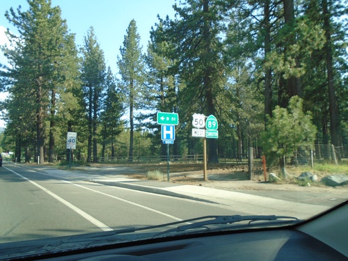
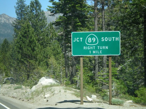
US-50 East At CA-89
US-50 east at CA-89 south to Markleeville and Jackson (via CA-88). Continue straight ahead for US-50 East/CA-89 north to South Lake Tahoe.
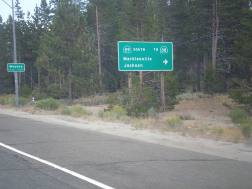
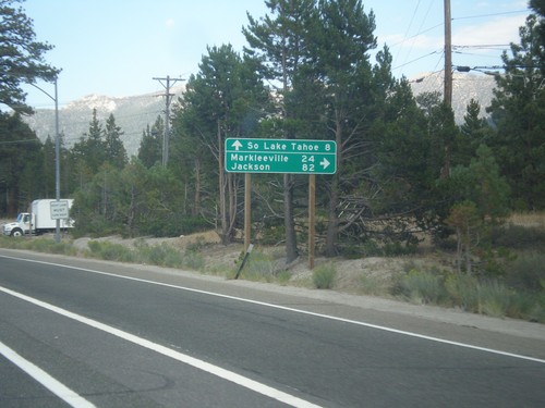
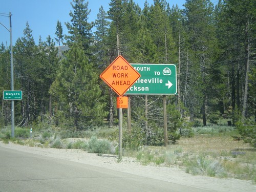
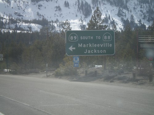
US-50 East At CA-89 South
US-50 east at CA-89 south/Markleeville/Jackson to CA-88. CA-89 north joins US-50 east to South Lake Tahoe. Entering Meyers.
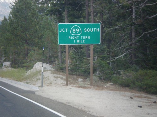
US-50 East at CA-89 Junction
US-50 East at CA-89 Junction in Meyers.
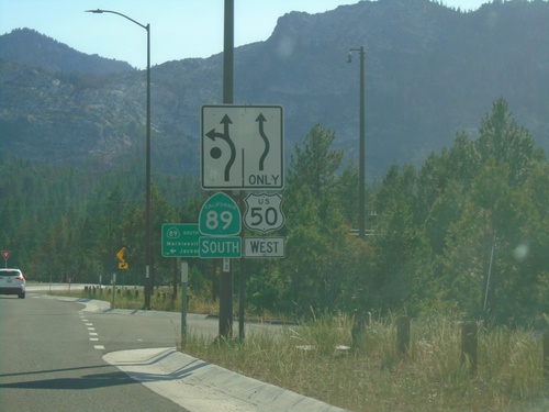
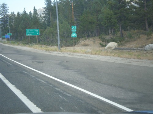
US-50 East at CA-89
US-50 east at CA-89. Turn right for CA-89 south. CA-89 north joins US-50 eastbound to South Lake Tahoe.
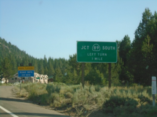
CA-89 North at US-50
CA-89 North at US-50 in Meyers. Turn left on US-50 west for Placerville; right for US-50 East/CA-89 North to South Lake Tahoe.
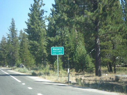
CA-89 North - Meyers City Limit
Meyers City Limit on CA-89 north.
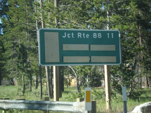
CA-89 South - Distance Marker
Distance marker on CA-89 south. Distance to CA-88 Junction.
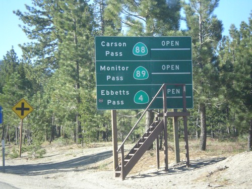
CA-89 South - Summit Information
Summit closure information on CA-89 south. Information for Ebbetts Pass (via CA-4), Monitor Pass (via CA-89) and Carson Pass (via CA-88). This photograph was taken in mid-June, and all of the passes are open. Carson Pass on CA-88 is the only pass that is typically opened year round.
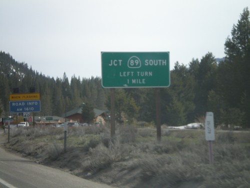
US-50 East At CA-89 South
US-50 east at CA-89 south/Markleeville/Jackson to CA-88. CA-89 north joins US-50 east to South Lake Tahoe.
US-50 East at CA-89
US-50 east at CA-89 south.
US-50 West/CA-89 South at CA-89 South
US-50 West/CA-89 south at US-50/CA-89 split. Use CA-89 south for CA-88/Markleeville/Jackson
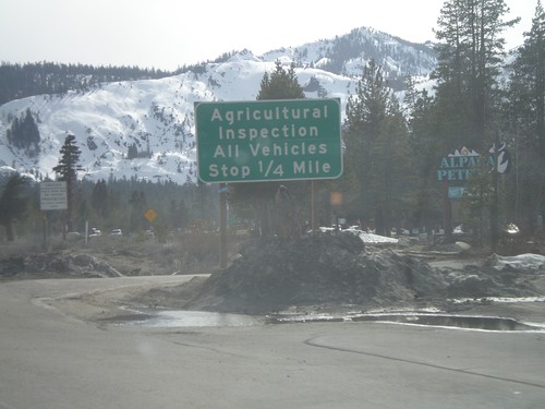
US-50 West/CA-89 South at Inspection Station
US-50 west/CA-89 south approaching the California State Agricultural Inspection Station.
US-50 West/CA-89 South Approaching CA-89
US-50 west/CA-89 south approaching CA-89/US-50 split.
US-50 West - Welcome To California
Welcome to California on US-50 west at the California-Nevada state line. Entering South Lake Tahoe.