Javascript Is Required To Use This Page

Pitkin County, Colorado

Localities: Aspen | Basalt | Snowmass

Aspen

CO-82 East - Aspen

CO-82 East - Aspen

CO-82 east (Original St.) at East Cooper Ave. in Aspen. Turn left on Cooper Ave. to continue east on CO-82 and for the Top of the Rockies Scenic Byway.

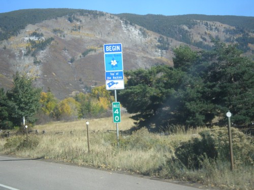
CO-82 East - Top of the Rockies Scenic Byway

CO-82 East - Top of the Rockies Scenic Byway

Begin Top of the Rockies Scenic Byway on CO-82 East.

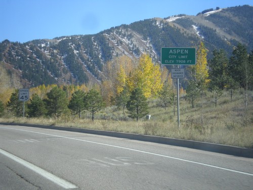
CO-82 East - Entering Aspen

CO-82 East - Entering Aspen

Entering Aspen - Elevation 7908 Feet. Aspen is the county seat of Pitkin County.

CO-82 East - Snowmass Village Jct.

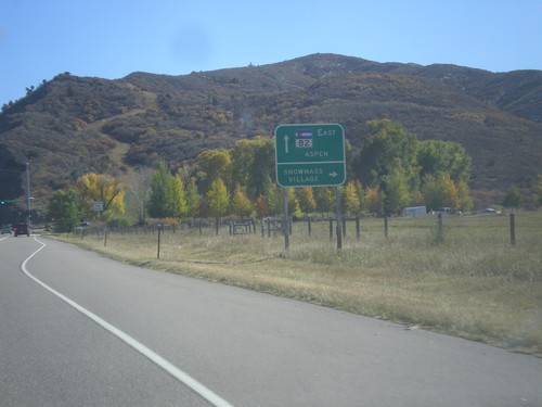
CO-82 East - Snowmass Village Jct.

CO-82 east at Brush Creek Road south to Snowmass Village. Continue east on CO-82 for Aspen.

Basalt

CO-82 East - Pitkin County

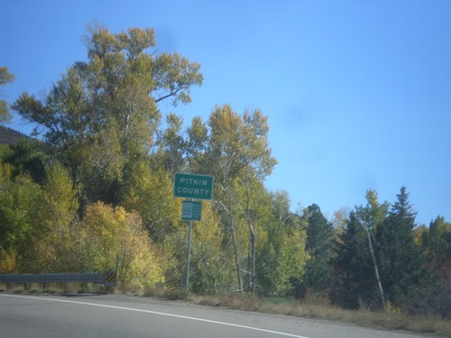
CO-82 East - Pitkin County

Entering Pitkin County on CO-82 east.

Snowmass

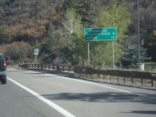
CO-82 East - Distance Marker

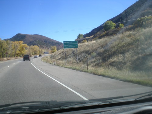
CO-82 East - Distance Marker

Distance marker on CO-82 east. Distance to Snowmass Village Road and Aspen.

CO-82 East - Snowmass Creek Road Jct.

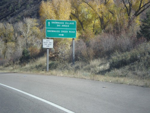
CO-82 East - Snowmass Creek Road Jct.

CO-82 east at Snowmass Creek Road. Continue east on CO-82 for Snowmass Village and Ski Areas.

CO-82 East - Distance Marker

CO-82 East - Distance Marker

Distance marker on CO-82 east. Distance to Snowmass, and Snowmass Village Road.

No Place Associated

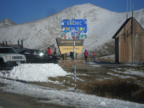
CO-82 East - Independence Pass

CO-82 East - Independence Pass

Independence Pass on CO-82 east. Independence Pass is 12,095 Feet and on the Continental Divide. Independence Pass is one of the highest mountain passes in Colorado on the state highway system. The only higher pass on the state highway system is US-34 in Rocky Mountain National Park. Independence Pass divides the Arkansas River watershed which flows into the Gulf of Mexico; and the Roaring Fork River which flows into the Colorado River and the Gulf of California.