Javascript Is Required To Use This Page

Adams County, Idaho

Localities: Cambridge | Council | New Meadows

Cambridge

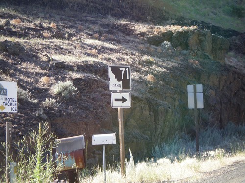
ID-71 North - Idaho/Oregon Line

ID-71 North - Idaho/Oregon Line

ID-71 south at the Oregon line.

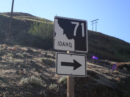
ID-71 North - Idaho/Oregon Line

ID-71 North - Idaho/Oregon Line

ID-71 south at the Oregon line.

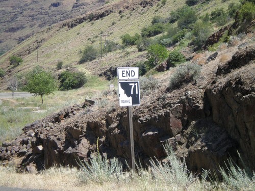
End ID-71 North - Idaho/Oregon Line

End ID-71 North - Idaho/Oregon Line

End ID-71 north at the Idaho-Oregon line on the Snake River.

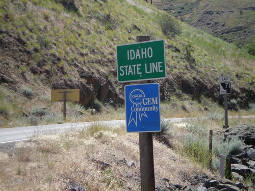
ID-71 South - Idaho State Line

ID-71 South - Idaho State Line

Idaho State Line on ID-71 south. This is a non standard state line sign.

Council

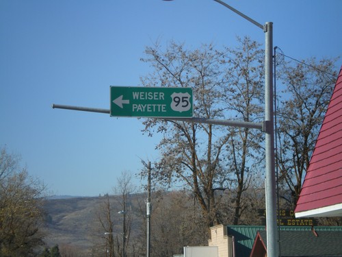
US-95 South - Council

US-95 South - Council

US-95 south overhead to Weiser and Payette at Illinois Ave. and Michigan St. junction.

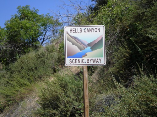
Hells Canyon Scenic Byway

Hells Canyon Scenic Byway

Hells Canyon Scenic Byway on NF-454 north, just east of the Oregon-Idaho Line at the Snake River.

New Meadows

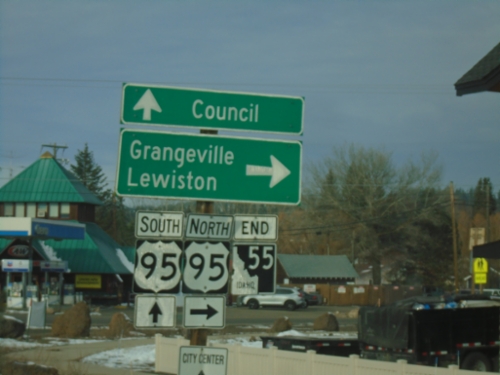
End ID-55 North at US-95

End ID-55 North at US-95

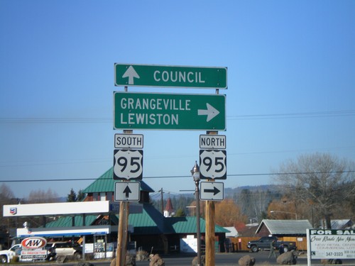
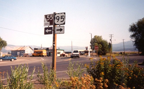
End ID-55 at US-95 south to Council, and north to Grangeville and Lewiston.

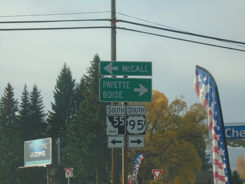
US-95 South at ID-55

US-95 South at ID-55

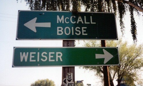
US-95 South at ID-55 in New Meadows. Turn right for US-95 South to Weiser and Boise; turn left for ID-55 south to McCall.
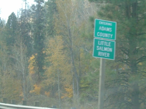
US-95 South - Entering Adams County

US-95 South - Entering Adams County

Entering Adams County on US-95 South at the Little Salmon River.

ID-55 South - Payette River Scenic Byway

ID-55 South - Payette River Scenic Byway

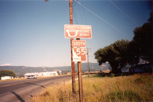
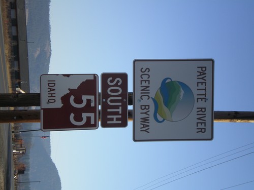
Payette River Scenic Byway/ID-55 on ID-55 South. This sign is the newer style of scenic byway signs.
US-95 South at ID-55

US-95 South at ID-55

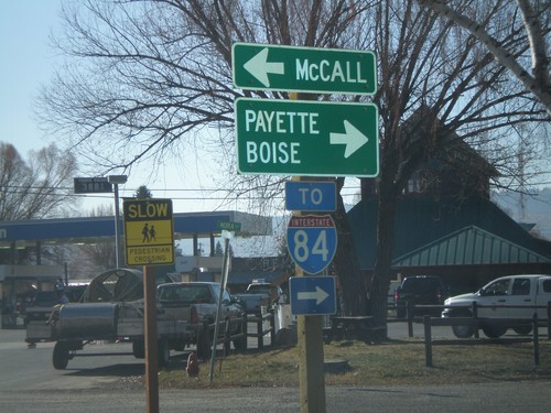
US-95 South at ID-55. Although fastest way to Boise is via ID-55 - sign directs Boise traffic on US-95. US-95 south is the fastest way to I-84.
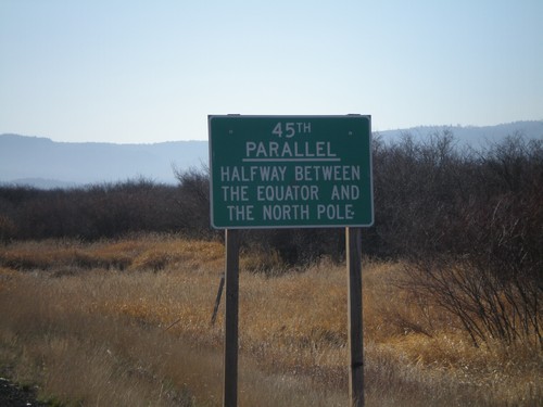
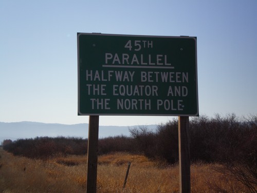
US-95 South - 45th Parallel

US-95 South - 45th Parallel

US-95 south at the 45th Parallel. Halfway between the Equator and the North Pole.
US-95 South - 45th Parallel

US-95 South - 45th Parallel

US-95 south at the 45th Parallel.

End ID-55 North at US-95

End ID-55 North at US-95

End ID-55 at US-95 south to Council, and north to Grangeville and Lewiston.

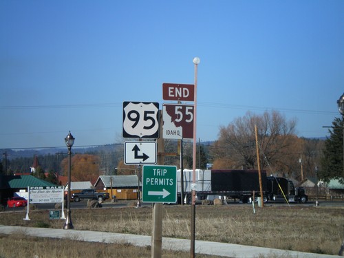
End ID-55 North at US-95

End ID-55 North at US-95

End ID-55 north at US-95. US-95 between New Meadows and Grangeville is the only highway connecting north and south Idaho.
ID-55 North At US-95

ID-55 North At US-95

ID-55 north approaching US-95.

ID-55 South - Payette River Scenic Byway

ID-55 South - Payette River Scenic Byway

Payette River Scenic Byway on ID-55 south.

US-95 South at ID-55

US-95 South at ID-55

US-95/ID-55 Junction to Boise and Weiser, US-95 South. A newer version of this sign directs Boise traffic to the right towards Weiser.

US-95 South at ID-55

US-95 South at ID-55

ID-55 Junction on US-95 South.

No Place Associated

Welcome To Oregon - OR-86

Welcome To Oregon - OR-86

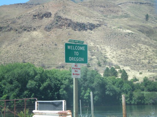
Welcome to Oregon at the Snake River on OR-86. The Entering Adams County sign is deceptive, we are actually leaving Adams County (ID) and entering Baker County (OR).