Boise County, Idaho
Localities: Banks | Horseshoe Bend | Idaho City | Lowman
Banks
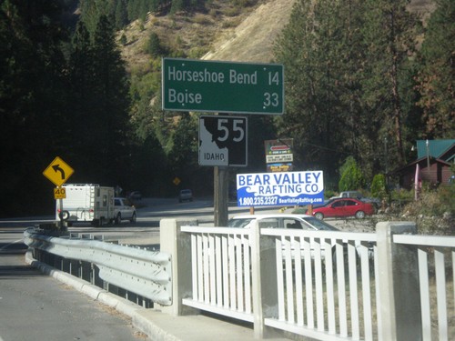
ID-55 South - Distance Marker
Distance marker on ID-55 south. Distance to Horseshoe Bend and Boise.
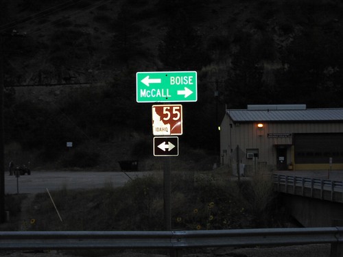
End Banks-Lowman Highway at ID-55
End Banks-Lowman Highway at ID-55. Use ID-55 north for McCall; ID-55 south for Boise.
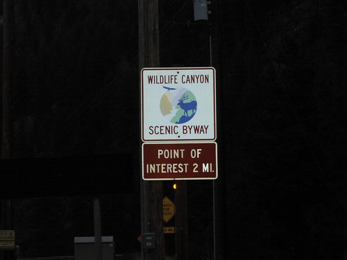
Banks-Lowman Hwy. - Wildlife Canyon Scenic Byway
Wildlife Canyon Scenic Byway on Banks-Lowman Road
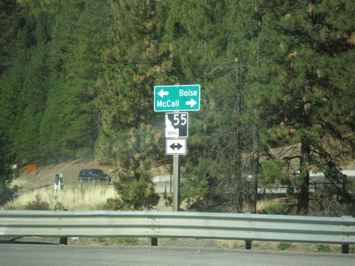
End Banks-Lowman Hwy. at ID-55
ID-55 Junction at Banks-Lowman Road in Banks
Horseshoe Bend
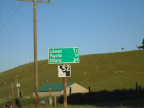
ID-52 West - Distance Marker
Distance marker on ID-52 west. Distance to Emmett, Payette, and Ontario.
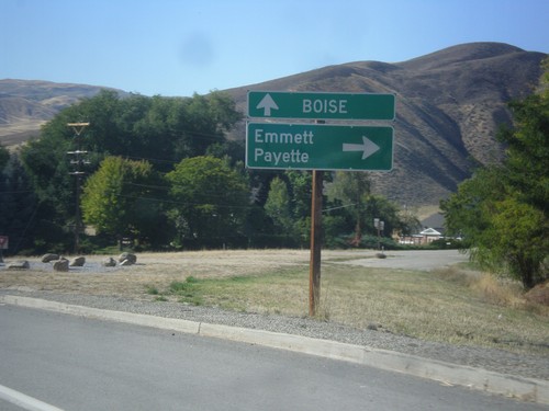
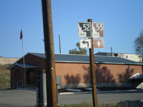
ID-55 South at ID-52
ID-55 south at ID-52 west to Emmett and Payette. Continue south on ID-55 for Boise.
ID-55 South Approaching ID-52
ID-55 south approaching ID-52 west in Horseshoe Bend.
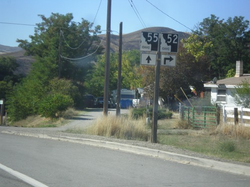
ID-55 North At ID-52
ID-55 north at ID-52 west to Emmett.
ID-55 North Approaching ID-52
ID-55 north approaching ID-52.
Idaho City
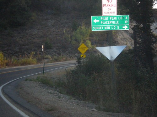
ID-21 East at Mores Creek Summit
ID-21 east at Mores Creek Summit. Turn left for Pilot Peak Lookout and Placerville; right for Sunset Mountain Lookout.
Lowman
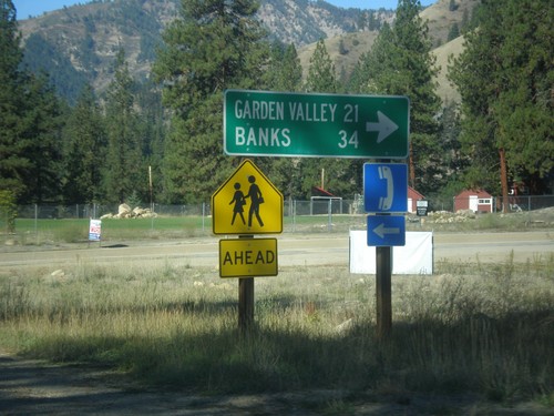
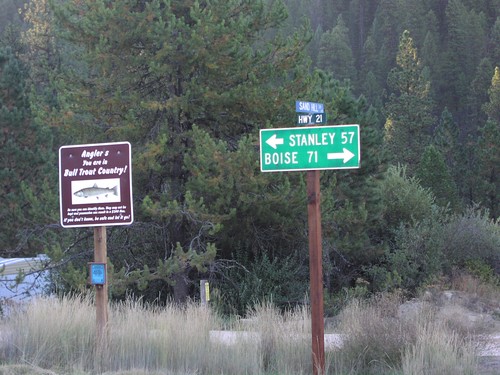
ID-21 South - Banks-Lowman Highway Jct.
ID-21 South at Banks-Lowman Highway Jct. Use the Banks-Lowman Highway for Garden Valley and Banks.
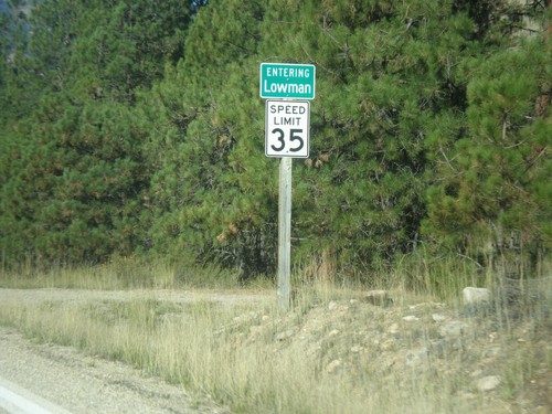
ID-21 South - Entering Lowman
Entering Lowman on ID-21 south.
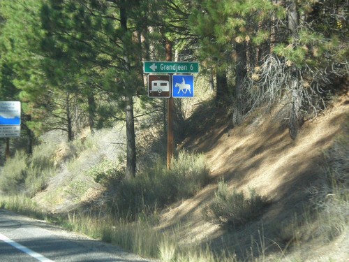
ID-21 South - Grandjean Jct.
ID-21 south at Grandjean Jct.
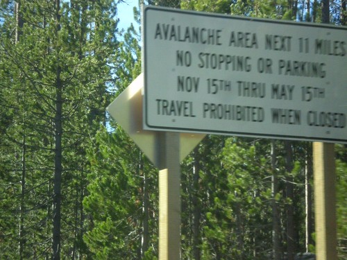
ID-21 South - Avalanche Area
Entering Avalanche Zone on ID-21 south. This area south of Banner Summit has frequent avalanches in the winter, which causes road closures.
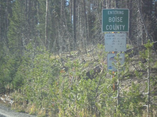
ID-21 - Entering Boise County
Entering Boise County along ID-21 south. The Boise-Custer County Line is located on Banner Summit - Elevation 7037 Feet.
End Banks-Lowman Hwy. at ID-21
Junction ID-21 with Banks-Lowman Road

ID-21 North at FR-582
ID-21/FR-582 Junction in Lowman