Javascript Is Required To Use This Page

Custer County, Idaho

Localities: Challis | Clayton | Ellis | Mackay | Obsidian | Stanley | Torreys

Challis
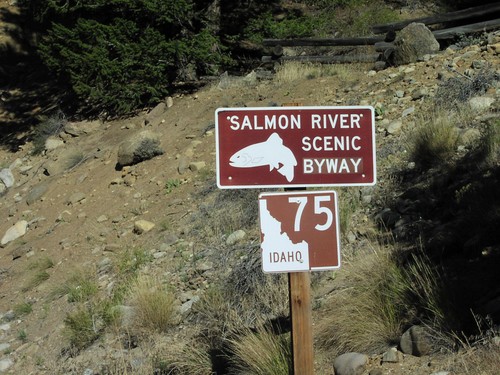
ID-75 South - Salmon River Scenic Byway

ID-75 South - Salmon River Scenic Byway

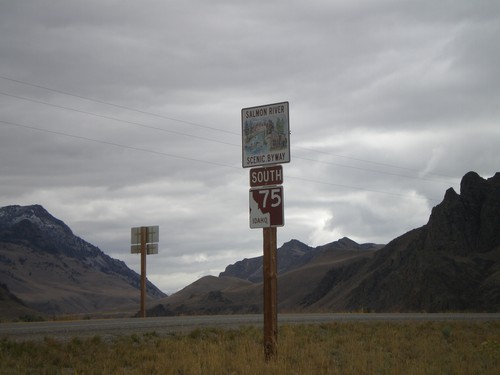
ID-75 South - Salmon River Scenic Byway in Custer County.

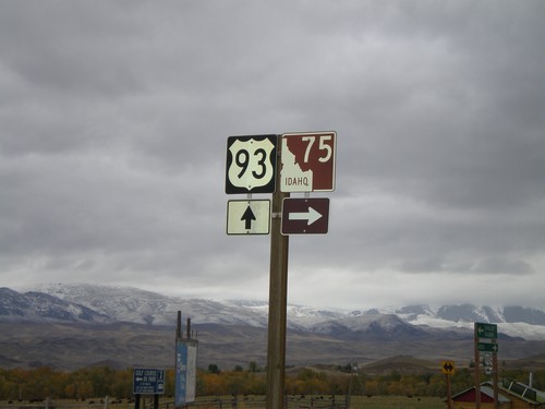
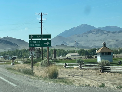
US-93 South at ID-75

US-93 South at ID-75

US-93 South at ID-75 in Custer County

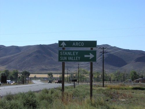
US-93 South at ID-75

US-93 South at ID-75

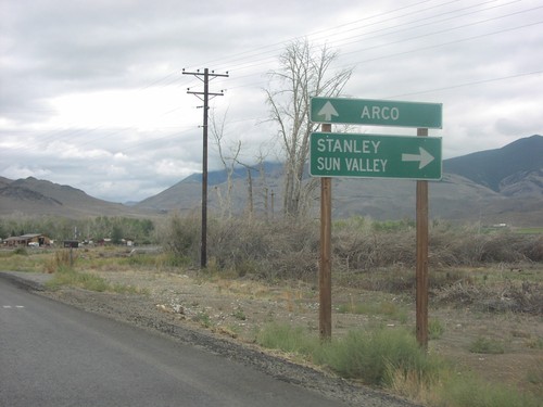
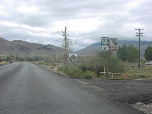
US-93 South at ID-75 in Custer County. Turn right for ID-75 south to Stanley and Sun Valley. Continue south on US-93 for Arco.
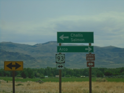
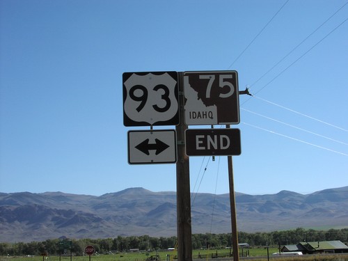
End ID-75 North at US-93

End ID-75 North at US-93

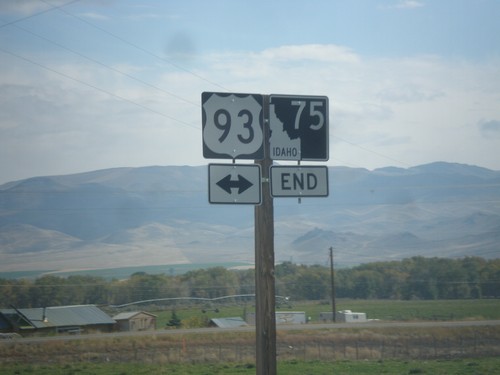
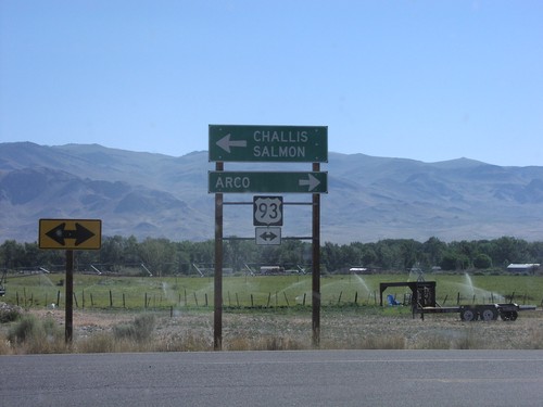
End ID-75 at US-93. Turn left for US-93 north to Challis and Salmon. Turn right for US-93 south to Arco. US-93 north is part of the Salmon River Scenic Byway; US-93 south is part of the Peaks to Craters Scenic Byway.
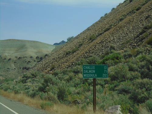
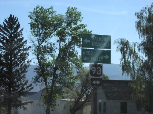
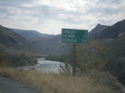
ID-75 North - Distance Marker

ID-75 North - Distance Marker

Distance marker on ID-75 north. Distance to Challis, Salmon, and Missoula (Montana).
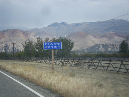
US-93 North - No Gas Next 57 Miles

US-93 North - No Gas Next 57 Miles

US-93 North - No Gas/Diesel Next 57 Miles (in Salmon). Taken on the north end of Challis.
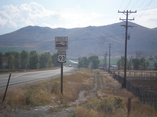
US-93 South - Peaks To Craters Scenic Byway

US-93 South - Peaks To Craters Scenic Byway

US-93 South - Peaks To Craters Scenic Byway in Custer County.
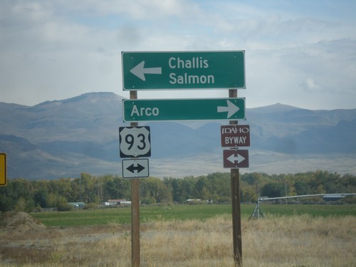
End ID-75 North at US-93

End ID-75 North at US-93

End ID-75 at US-93. Turn left for US-93 north to Challis and Salmon. Turn right for US-93 south to Arco. US-93 north is part of the Salmon River Scenic Byway; US-93 south is part of the Peaks to Craters Scenic Byway.

End ID-75 North at US-93

End ID-75 North at US-93

End ID-75 North at US-93 in Custer County.

ID-75 South - Salmon River Scenic Byway

ID-75 South - Salmon River Scenic Byway

Begin ID-75 South/Salmon River Scenic Byway, just south of US-93.

US- 93 South at ID-75

US- 93 South at ID-75

US-93 south at northern end of ID-75.

End ID-75 North at US-93

End ID-75 North at US-93

End ID-75 North at US-93

Main St. in Challis at US-93

Main St. in Challis at US-93

US-93/Main St. Junction in Challis

US-93 South at ID-75

US-93 South at ID-75

US-93 South at ID-75 Junction to Arco

US-93 South - Entering Challis

US-93 South - Entering Challis

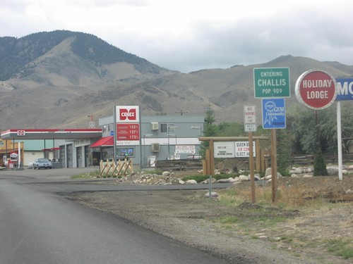
Entering Challis on US-93 South

US-93 South at ID-75

US-93 South at ID-75

Junction ID-75/US-93 To Arco and Stanley on US-93 South

US-93 South at ID-75

US-93 South at ID-75

Junction ID-75/US-93 on US-93 South

End ID-75 North at US-93

End ID-75 North at US-93

End ID-75 at US-93 to Arco and Salmon

Clayton

ID-75 North - Custer County

ID-75 North - Custer County

ID-75 north, just north of Clayton. The Salmon River is in the background.

ID-75 North - Distance Marker

ID-75 North - Distance Marker

Distance marker on ID-75 north. Distance to Challis, Salmon, and Missoula (Montana). The Salmon River is in the background.

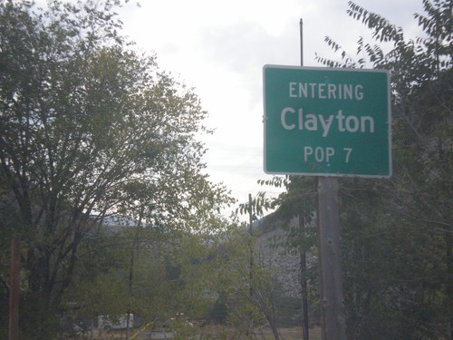
ID-75 North - Entering Clayton

ID-75 North - Entering Clayton

Entering Clayton on ID-75 North. Clayton has a population of 7, making it the second smallest city in the state behind Warm River.

Ellis

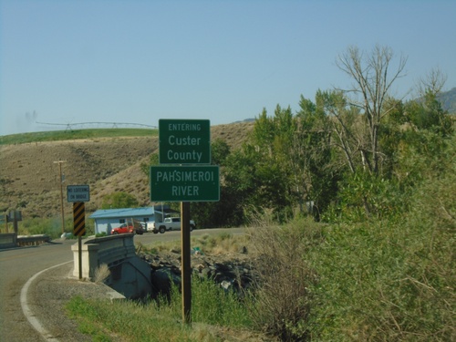
US-93 South - Custer County/Pahsimeroi River

US-93 South - Custer County/Pahsimeroi River

US-93 South Entering Custer County at the Pahsimeroi River

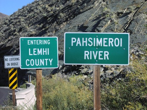
US-93 North - Lemhi County/Pahsimeroi River

US-93 North - Lemhi County/Pahsimeroi River

US-93 North Entering Lemhi County at the Pahsimeroi River

Mackay

US-93 North - Mackay

US-93 North - Mackay

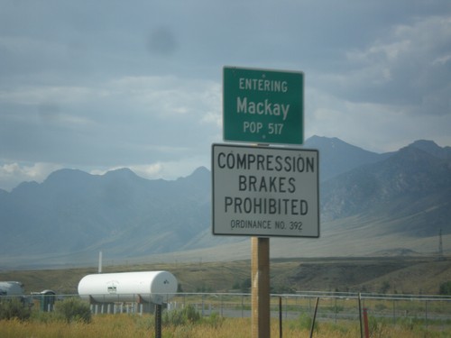
Entering Mackay on US-93 north.

Obsidian

ID-75 North - Entering Custer County

ID-75 North - Entering Custer County

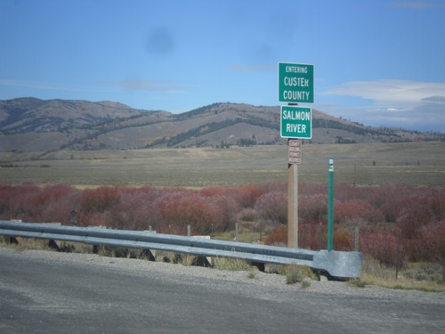
Entering Custer County on ID-75 north at the Salmon River.

Stanley

ID-75 North - Custer County

ID-75 North - Custer County

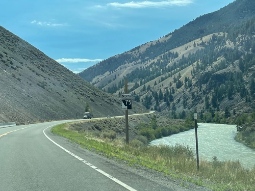
ID-75 North in Custer County. The Salmon River is in the background of the picture. There are quite a few of the new style state highway shields on ID-75 northbound between Stanley and Challis.
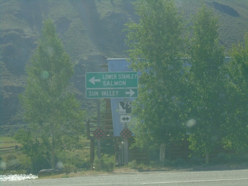
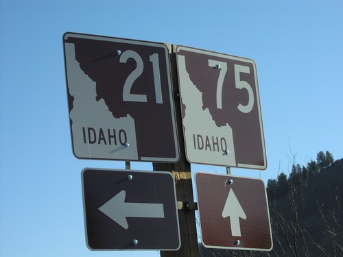
End ID-21 East at ID-75

End ID-21 East at ID-75

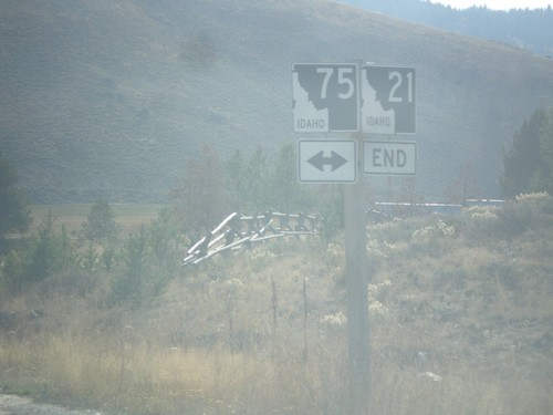
End ID-21 East at ID-75. Use ID-75 south for Sun Valley. Use ID-75 north for Lower Stanley and Salmon.
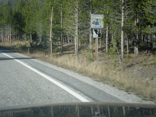
End ID-21 East at ID-75

End ID-21 East at ID-75

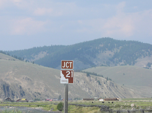
End ID-21 East at ID-75 in Stanley.

ID-21 East - Entering Stanley

ID-21 East - Entering Stanley

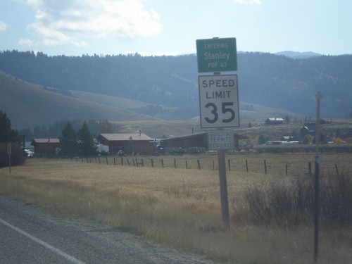
Entering Stanley on ID-21 East - Population 63. Speed Limit 35 MPH.

ID-21 North - Ponderosa Pine Scenic Byway

ID-21 North - Ponderosa Pine Scenic Byway

ID-21 North - Ponderosa Pine Scenic Byway. The Ponderosa Pine Scenic Byway runs along ID-21 between Boise and Stanley.
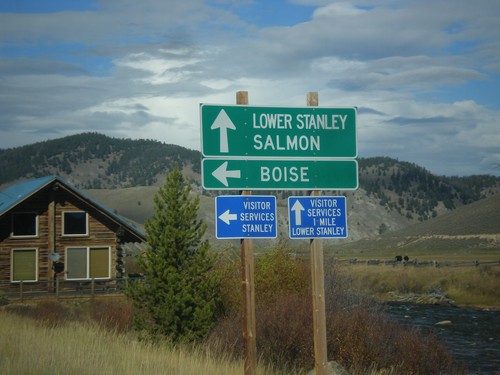
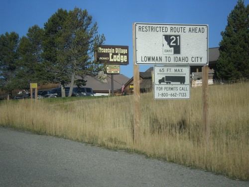
ID-21 - Truck Restrictions

ID-21 - Truck Restrictions

Truck restrictions on ID-21 between Lowman and Idaho City.

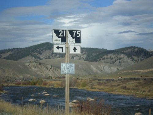
ID-75 North at ID-21 South

ID-75 North at ID-21 South

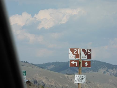
ID-75 North at ID-21 South. Use ID-75 north for Lower Stanley and Salmon. Use ID-21 south for Boise. The Salmon River can be seen in the background of the picture.
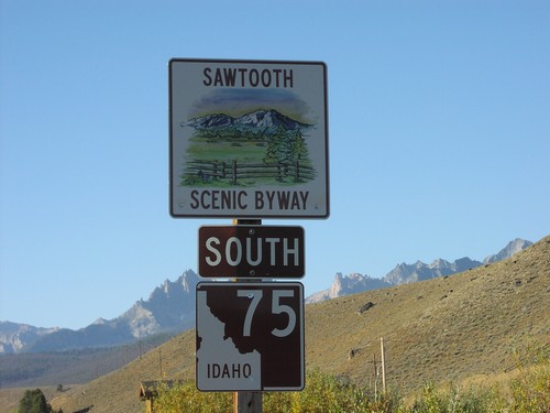
ID-75 North at ID-21 South

ID-75 North at ID-21 South

ID-21 Junction on ID-75 North in Stanley.

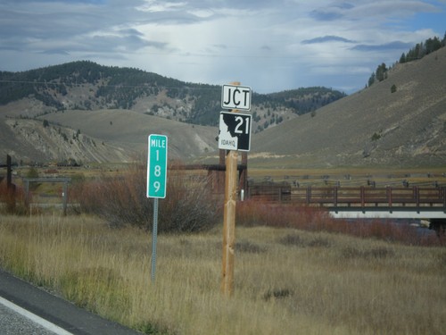
ID-75 North Approaching ID-21

ID-75 North Approaching ID-21

Approaching ID-21 Junction on ID-75 North in Stanley. Milemarker 189.

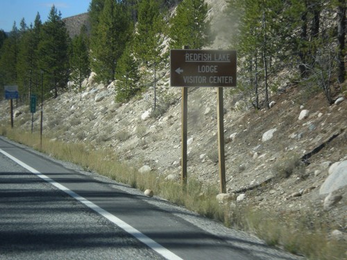
ID-75 North - Redfish Lake Jct.

ID-75 North - Redfish Lake Jct.

ID-75 North at Redfish Lake Lodge/Visitor Center junction.

ID-75 North - Obsidian

ID-75 North - Obsidian

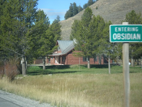
Entering the community of Obsidian on ID-75 north.

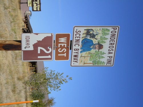
Begin ID-21 West - Ponderosa Pine Scenic Byway

Begin ID-21 West - Ponderosa Pine Scenic Byway

Begin ID-21 West - Ponderosa Pine Scenic Byway

ID-75 South at ID-21 North

ID-75 South at ID-21 North

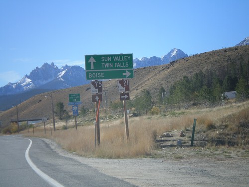
ID-75 south at ID-21 west to Boise.

ID-21 North - Ponderosa Pine Scenic Byway

ID-21 North - Ponderosa Pine Scenic Byway

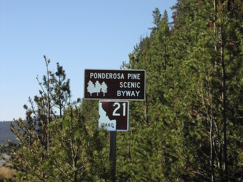
ID-21/Ponderosa Pine Scenic Byway Sign.

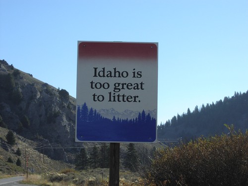
ID-75 North - Idaho Is Too Great To Litter

ID-75 North - Idaho Is Too Great To Litter

Idaho Is Too Great To Litter on ID-75

ID-75 North at ID-21

ID-75 North at ID-21

ID-75 North at ID-21 Junction

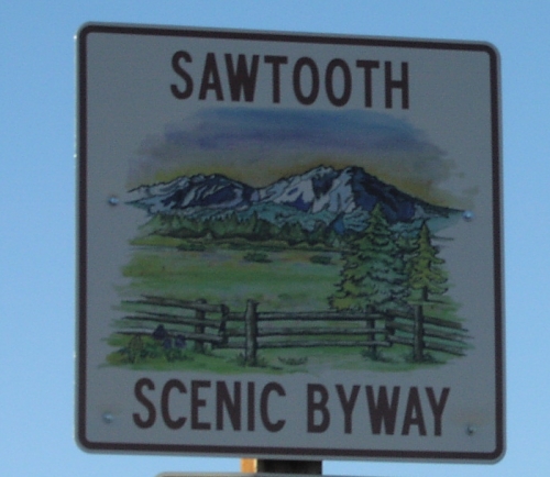
ID-75 South - Sawtooth Scenic Byway

ID-75 South - Sawtooth Scenic Byway

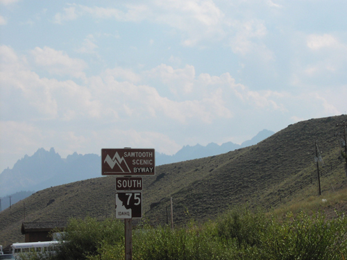
ID-75 South Sawtooth Scenic Byway - with Sawtooth Mountains in background.
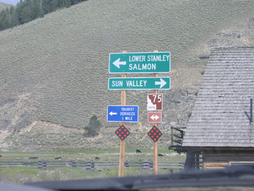
ID-75 South - Sawtooth Scenic Byway

ID-75 South - Sawtooth Scenic Byway

Sawtooth Scenic Byway on ID-75 South

End ID-21 East at ID-75

End ID-21 East at ID-75

End ID-21 East at ID-75. Use ID-75 south for Sun Valley. Use ID-75 north for Lower Stanley and Salmon.
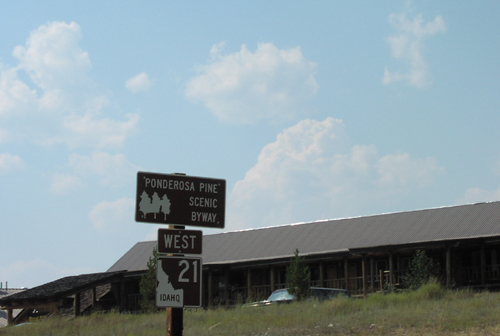
ID-21 East Approaching ID-75

ID-21 East Approaching ID-75

ID-21 East approaching ID-75 in Stanley. ID-21 east ends here,

ID-21 West - Ponderosa Pine Scenic Byway

ID-21 West - Ponderosa Pine Scenic Byway

Ponderosa Pine Scenic Byway on ID-21 west. The Ponderosa Pine Scenic Byway starts here in Stanley and follows ID-21 west to Boise.
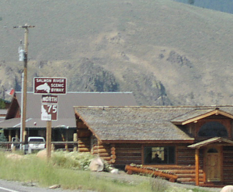
ID-75 North - Salmon River Scenic Byway

ID-75 North - Salmon River Scenic Byway

Salmon River Scenic Byway on ID-75 north. The Salmon River Scenic Byway starts here in Stanley and follows ID-75 north to Challis. Then the byway follows US-93 north to the Montana line.
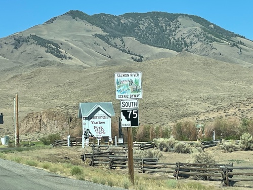
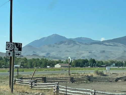
ID-75 North Approaching ID-21

ID-75 North Approaching ID-21

Approaching ID-21 Junction on ID-75 North in Stanley.

ID-75 North at ID-21 South

ID-75 North at ID-21 South

ID-21 Junction on ID-75 North in Stanley.

ID-75 North at ID-21 South

ID-75 North at ID-21 South

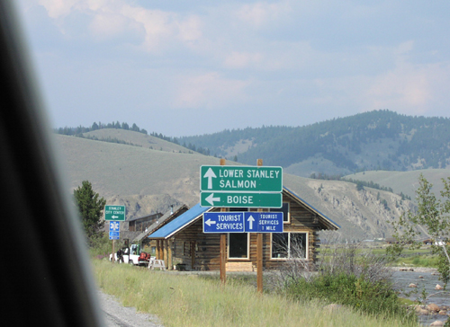
ID-21/ID-75 Junction to Salmon and Boise, on ID-75 North in Stanley.

ID-75 South - Sawtooth Scenic Byway

ID-75 South - Sawtooth Scenic Byway

Sawtooth Scenic Byway on ID-75 south. The Sawtooth Scenic Byway starts here in Stanley and follows ID-75 south to Shoshone. The peaks of the Sawtooth Range are in the background.
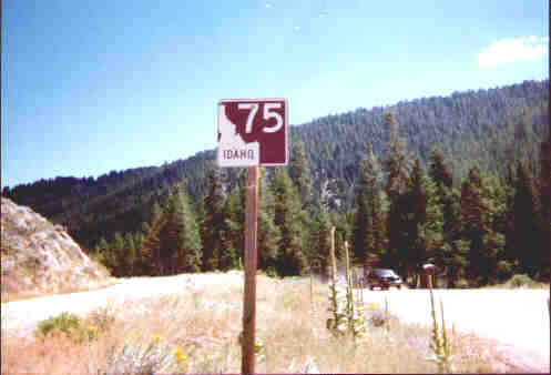
ID-75 East of Stanley

ID-75 East of Stanley

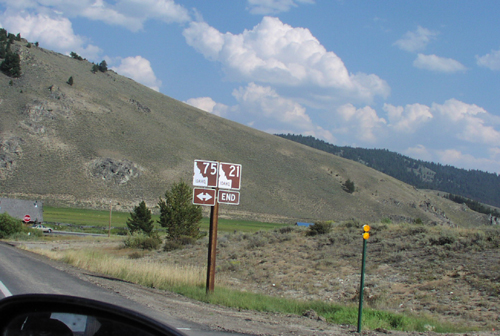
ID-75 East - Custer County.

Torreys

ID-75 South - Salmon River Scenic Byway

ID-75 South - Salmon River Scenic Byway

Salmon River Scenic Byway on ID-75