Javascript Is Required To Use This Page

Idaho County, Idaho

Localities: Cottonwood | Dryden | Ferdinand | Grangeville | Harpster | Kooskia | Powell Junction | Riggins | Stites

Cottonwood
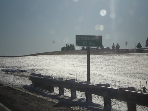
US-95 South At Cottonwood South Entrance

US-95 South At Cottonwood South Entrance

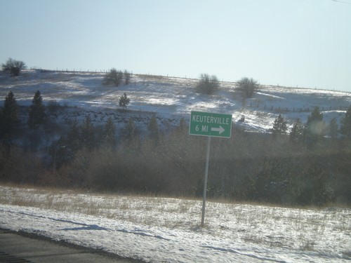
US-95 South at Business US-95 at the southern entrance to Cottonwood. Turn here for access to Keuterville.

US-95 South at Cottonwood Northern Entrance

US-95 South at Cottonwood Northern Entrance

US-95 South at Business US-95 at the northern entrance to Cottonwood. Continue south on US-95 for Grangeville and Boise.

US-95 South Approaching Cottonwood

US-95 South Approaching Cottonwood

US-95 South approaching the northern entrance to Cottonwood.

Dryden

ID-162 East at Old ID-7 Jct.

ID-162 East at Old ID-7 Jct.

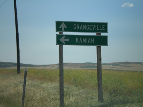
ID-162 east at Old ID-7 junction. Use ID-162 for Kamiah. Use Old ID-7 for Grangeville.

Ferdinand

US-95 South at Ferdinand

US-95 South at Ferdinand

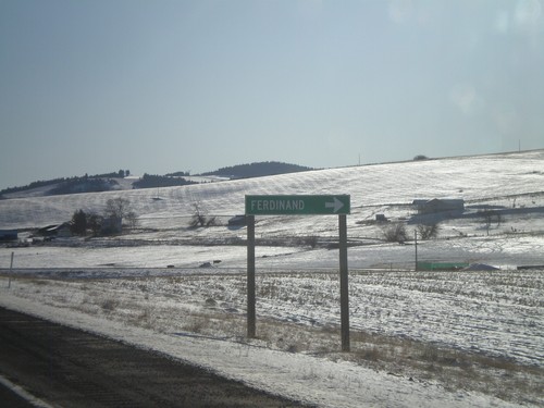
US-95 South at Ferdinand.

Grangeville

ID-13 North - Distance Marker

ID-13 North - Distance Marker

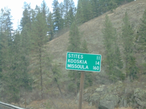
Distance marker on ID-13 north. Distance to Stites, Kooskia, and Missoula (Montana).
ID-13 North at ID-14

ID-13 North at ID-14

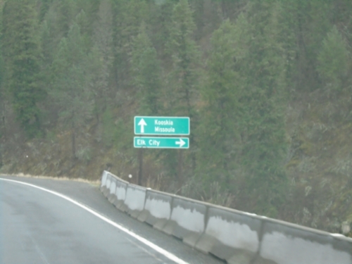
ID-13 North at ID-14 to Elk City. Continue north on ID-13 to Kooskia and Missoula (Montana).
ID-13 North - Distance Marker

ID-13 North - Distance Marker

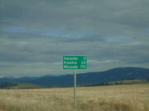
Distance marker on ID-13 north. Distance to Harpster, Kooskia, and Missoula (Montana).
ID-13 - Grangeville

ID-13 - Grangeville

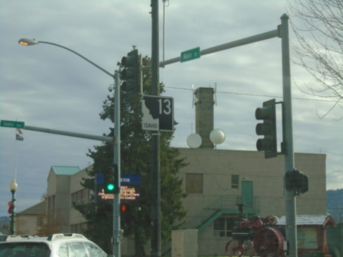
ID-13 North in Grangeville.

US-95 North at ID-13

US-95 North at ID-13

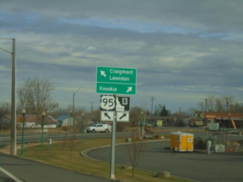
US-95 North at ID-13 in Grangeville. Use ID-13 to Kooskia; continue north on US-95 to Craigmont and Lewiston.
US-95 North Approaching ID-13

US-95 North Approaching ID-13

US-95 North approaching ID-13 in Grangeville.

US-95 South - Trucker Warning on White Bird Hill

US-95 South - Trucker Warning on White Bird Hill

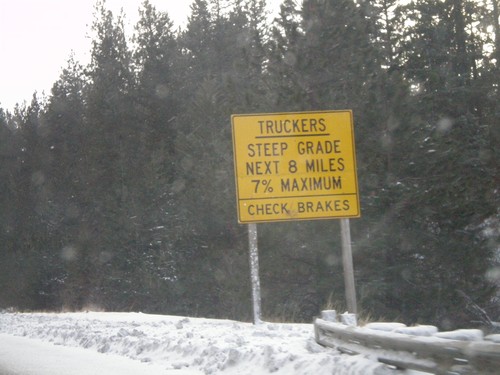
Trucker warning on US-95 south at the top of White Bird Hill. White Bird Grade is a 8 mile grade with steepness up to 7%.
Johnson Lane at US-95 to Grangeville and Riggins

Johnson Lane at US-95 to Grangeville and Riggins

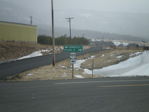
Johnson Lane south at US-95 to Grangeville and Riggins. Johnson Lane is a cutoff that shaves a few miles of driving on US-95 and avoids the town of Grangeville.
US-95 North at ID-13

US-95 North at ID-13

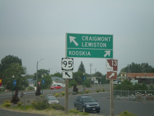
US-95 north at ID-13 east to Kooskia. Continue north on US-95 for Craigmont and Lewiston.

ID-13 South Approaching US-95

ID-13 South Approaching US-95

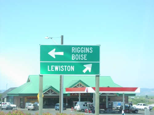
ID-13 south approaching US-95. Merge right for US-95 north to Lewiston; merge left for US-95 south to Riggins and Boise.

ID-13 South Approaching US-95

ID-13 South Approaching US-95

ID-13 south approaching US-95 south in Grangeville.

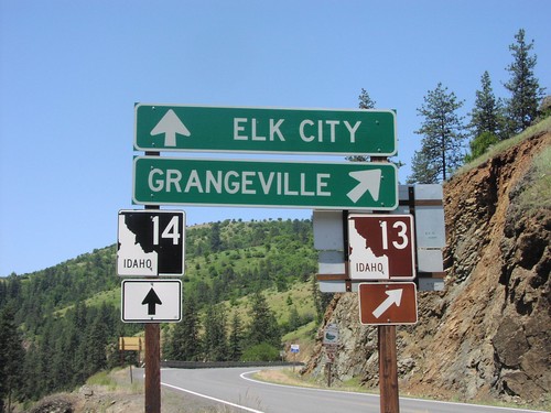
ID-13 South at ID-14

ID-13 South at ID-14

ID-13 south to Grangeville at ID-14 to Elk City.

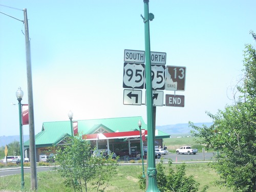
ID-13 South at US-95

ID-13 South at US-95

End ID-13 south at US-95 in Grangeville.

Harpster

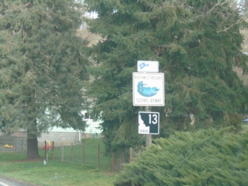
ID-13 - Northwest Passage Scenic Byway

ID-13 - Northwest Passage Scenic Byway

ID-13 - Northwest Passage Scenic Byway in Harpster.

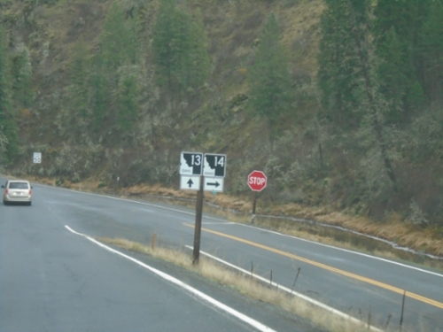
ID-13 North at ID-14

ID-13 North at ID-14

ID-13 North at ID-14 in Idaho County.

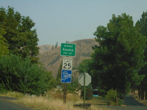
Kooskia

US-12 East - Nez Perce Trail

US-12 East - Nez Perce Trail

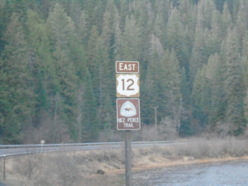
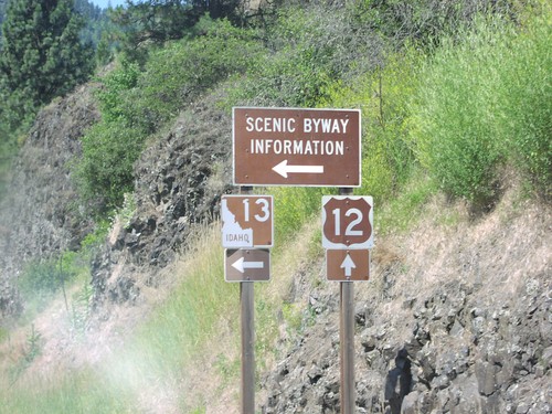
US-12 East - Nez Perce Trail. The Lochsa River is in the background. The US-12 shield is the old style Idaho scenic byway shield, which was brown instead of black.
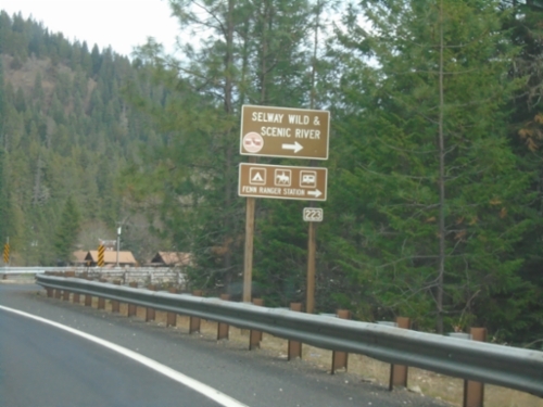
US-12 East - Selway Road Junction

US-12 East - Selway Road Junction

US-12 East at Selway Road (FS 223) Junction to Selway Wild and Scenic River.
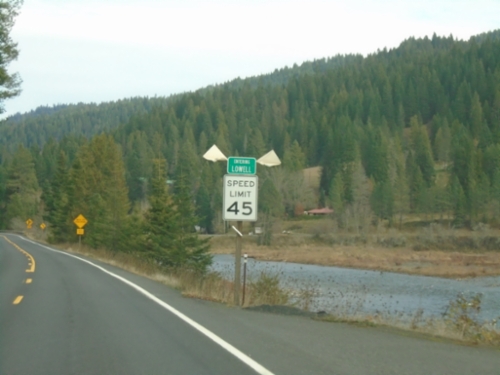
US-12 East - Lowell

US-12 East - Lowell

Entering Lowell on US-12 east. Lowell is where the Lochsa and Selway Rivers combine to form the Clearwater River.
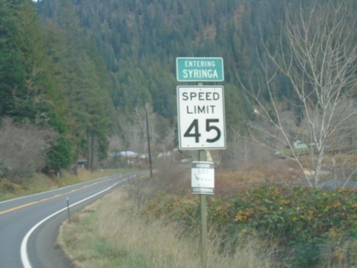
US-12 East - Syringa

US-12 East - Syringa

Entering Syringa on US-12 east. Syringa is the Idaho state flower.

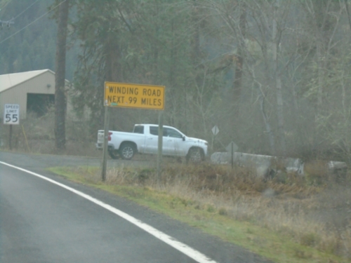
US-12 East - Winding Road

US-12 East - Winding Road

Winding Road Next 99 Miles on US-12 east. The next 99 miles are following the Clearwater and Lochsa River up to Lolo Pass.
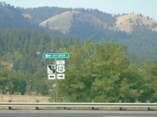
End Bus. ID-13 West at ID-13 - Kooskia

End Bus. ID-13 West at ID-13 - Kooskia

End Bus. ID-13 West at ID-13 in Kooskia. Turn right for ID-13 east to US-12 jct; left for ID-13 west to (Kooskia) City Center.
Bus. ID-13 West - Entering Kooskia

Bus. ID-13 West - Entering Kooskia

Entering Kooskia on Bus. ID-13 West.

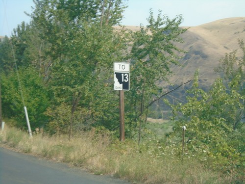
Bus. ID-13 West To ID-13 - Kooskia

Bus. ID-13 West To ID-13 - Kooskia

Bus. ID-13 West To ID-13 in Kooskia.

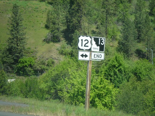
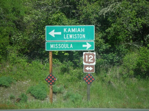
End ID-13 North at US-12

End ID-13 North at US-12

End ID-13 north at US-12. Use US-12 west for Kamiah and Lewiston. Use US-12 east for Missoula (Montana).
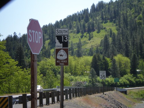
ID-13 South - Nez Perce Trail

ID-13 South - Nez Perce Trail

Begin ID-13 south. ID-13 is signed as the Nez Perce Trail and Northwest Passage Scenic Byway.
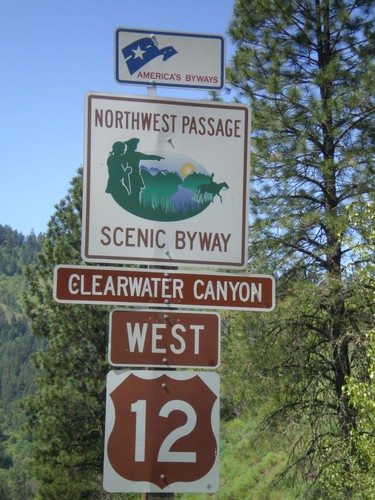
US-12 West - Northwest Passage Scenic Byway

US-12 West - Northwest Passage Scenic Byway

Northwest Passage Scenic Byway (Clearwater Canyon) on US-12 west.

End ID-13 north at US-12

End ID-13 north at US-12

End ID-13 north at US-12

US-12 West Approaching ID-13

US-12 West Approaching ID-13

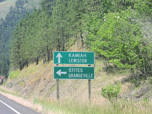
US-12 west approaching ID-13 south to Stites and Grangeville. Continue west on US-12 for Kamiah and Lewiston.

US-12 West At ID-13

US-12 West At ID-13

US-12 west at ID-13 west in Kooskia.

Powell Junction

US-12 East - Distance Marker

US-12 East - Distance Marker

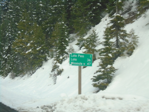
Last distance marker in Idaho on US-12 east. Distance to Lolo Pass, Lolo (Montana), and Missoula (Montana).

US-12 East - Lolo Pass Chain-Up Area

US-12 East - Lolo Pass Chain-Up Area

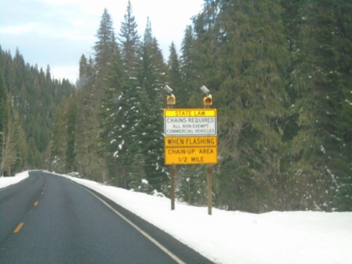
US-12 east approaching Chain-Up Area on approach to Lolo Pass.

US-12 East Approaching Powell Junction

US-12 East Approaching Powell Junction

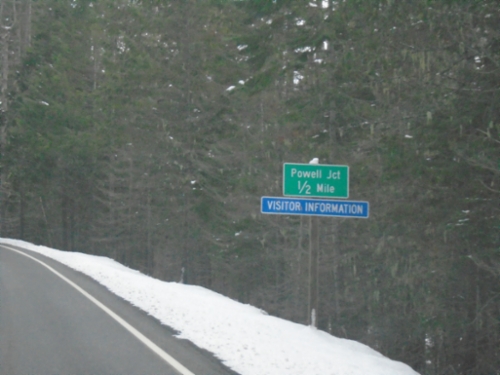
US-12 East approaching Powell Junction.

US-12 West - Distance Marker

US-12 West - Distance Marker

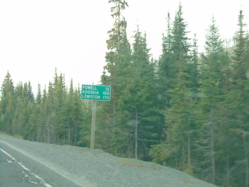
Distance marker on US-12 west. Distance to Powell, Kooskia, and Lewiston.

Riggins

Salmon River Road at French Creek Road

Salmon River Road at French Creek Road

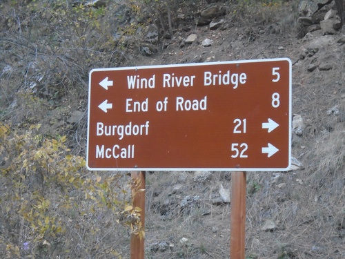
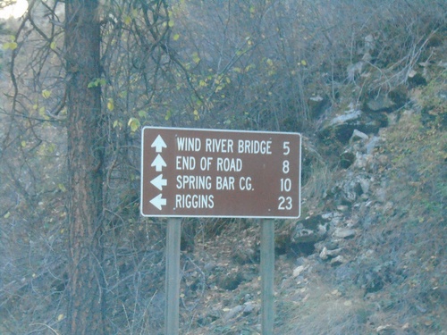
Salmon River Road at French Creek Road. Turn right for French Creek Road south to Burgdorf and McCall. Turn left for Salmon River Road east to Wind River Bridge and End of Road.
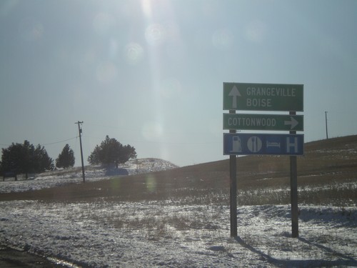
French Creek Road at Salmon River Road

French Creek Road at Salmon River Road

End French Creek Road at Salmon River Road. Continue straight for the Salmon River Road east to Wind River Bridge and End of Road. Turn left for Salmon River Road west to Spring Bar Camp Ground and Riggins.
US-95 North - Mountain Time Zone/Salmon River

US-95 North - Mountain Time Zone/Salmon River

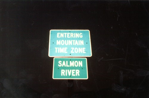
Mountain Time Zone at Salmon River on US-95 South

Stites

ID-13 North - Stites

ID-13 North - Stites

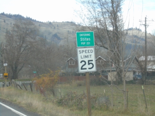
Entering Stites on ID-13 North. Population 221.