Javascript Is Required To Use This Page

Lemhi County, Idaho

Localities: Gibbonsville | Leadore | Leadville | North Fork | Salmon | Tendoy

Gibbonsville
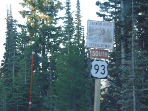
US-93 South - Salmon River Scenic Byway

US-93 South - Salmon River Scenic Byway

US-93 South - Salmon River Scenic Byway in Lemhi County.

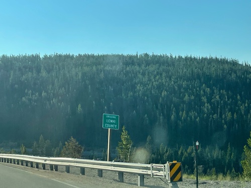
US-93 South - Lemhi County

US-93 South - Lemhi County

Entering Lemhi County on US-93 south. Taken at the Idaho-Montana State Line at Lost Trail Pass.
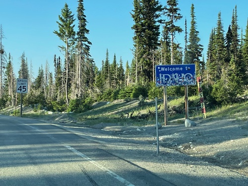
US-93 South - Welcome To Idaho

US-93 South - Welcome To Idaho

Welcome to Idaho on US-93 South at Lost Trail Pass.

MT-43 West Approaching US-93

MT-43 West Approaching US-93

MT-43 West approaching US-93. This small stretch of MT-43 between Chief Joseph Pass and Lost Trail Pass is actually in Idaho. There are no markers or other signs that indicate this stretch of highway is in Idaho.

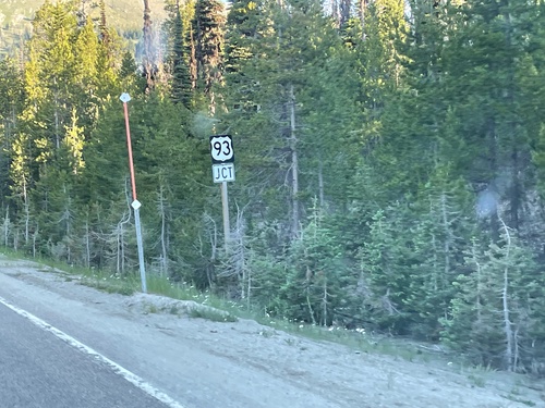
US-93 North Approaching MT-43 Junction

US-93 North Approaching MT-43 Junction

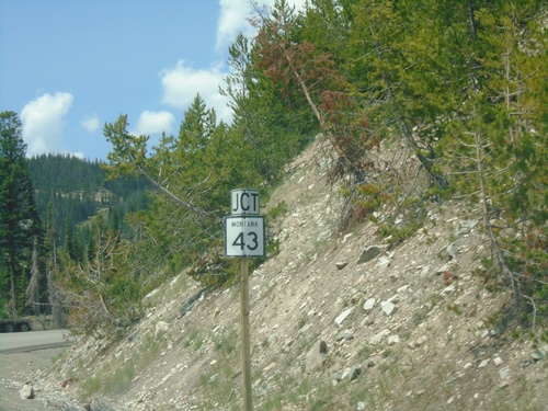
US-93 North approaching MT-43 Junction. The MT-43/US-93 intersection is at the top of Lost Trail Pass on the stateline with Idaho and Montana.

US-93 North - Gibbonsville

US-93 North - Gibbonsville

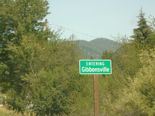
Entering Gibbonsville on US-93 north.

US-93 - Welcome To Idaho

US-93 - Welcome To Idaho

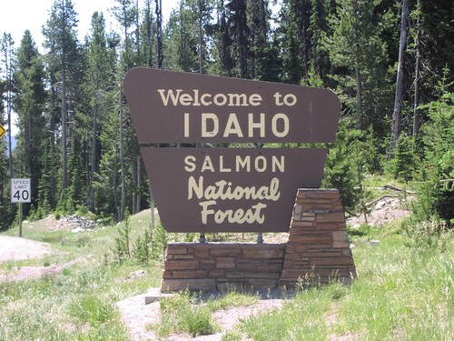
Welcome To Idaho/Salmon National Forest at Lost Trail Pass

Leadore

ID-29 West - Bannock Pass - Idaho State Line

ID-29 West - Bannock Pass - Idaho State Line

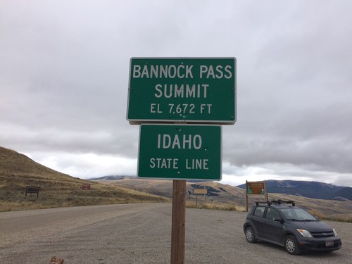
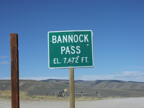
Idaho State Line on ID-29 west at Bannock Pass - Elevation 7672 Feet. Bannock Pass is on the Continental Divide located on the Idaho-Montana border.
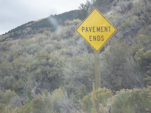
ID-29 - Pavement Ends

ID-29 - Pavement Ends

Pavement Ends on ID-29 east. ID-29 is one of two state highways in Idaho (the other is ID-64) that has segments that are not paved.
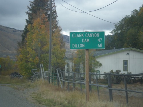
ID-29 East - Distance Marker

ID-29 East - Distance Marker

Distance marker on ID-29 east. Distance to Clark Canyon Dam (I-15 Jct. in Montana) and Dillon (Montana).

ID-28 South at ID-29

ID-28 South at ID-29

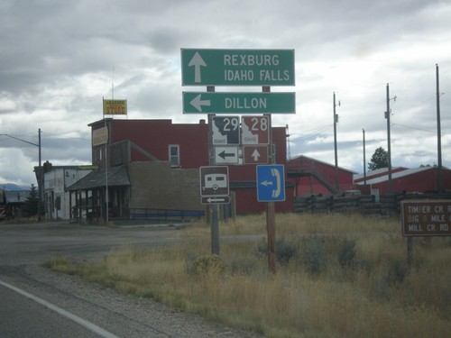
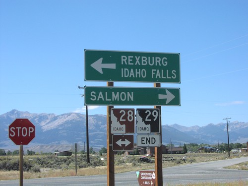
ID-28 south at ID-29 east to Dillon (Montana). Continue south on ID-28 for Rexburg and Idaho Falls.

ID-28 South Approaching ID-29

ID-28 South Approaching ID-29

ID-28 South approaching ID-29 in Leadore.

ID-28 South - Leadore

ID-28 South - Leadore

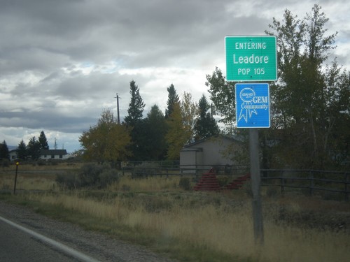
Entering Leadore - Population 105 on ID-28 south.

End ID-29 at ID-28

End ID-29 at ID-28

End of ID-29 at ID-28 Junction. Lemhi Range in background.

ID-28 North at ID-29

ID-28 North at ID-29

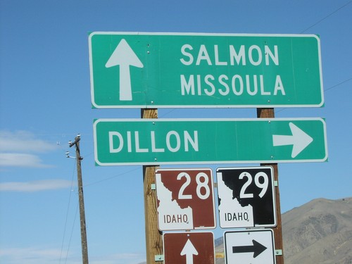
ID-28 North at ID-29 Junction to Dillon,MT in

ID-29 - Bannock Pass - ID/MT Border

ID-29 - Bannock Pass - ID/MT Border

Bannock Pass at end of ID-29 on ID-MT Border

ID-29 West - Distance Marker

ID-29 West - Distance Marker

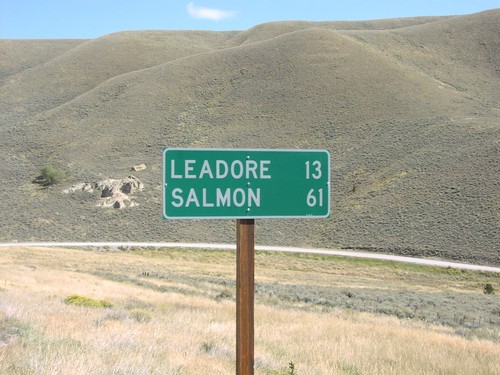
Distance To Leadore and Salmon, ID-29 on Bannock Pass

Leadville

ID-29 East

ID-29 East

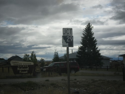
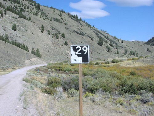
ID-29 Shield, Lemhi County. ID-29 is one of two gravel highways in Idaho (the other is ID-64).

North Fork

US-93 South - Distance Marker

US-93 South - Distance Marker

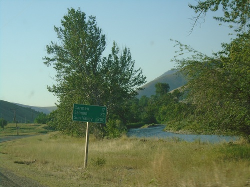
Distance marker on US-93 south. Distance to Carmen, Salmon, and Sun Valley.
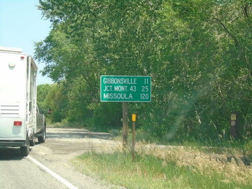
US-93 North - Distance Marker

US-93 North - Distance Marker

Distance marker on US-93 north. Distance to Gibbonsville, Jct. Mont. 43 (at Lost Trail Pass), and Missoula (Montana).

US-93 North - Shoup Jct.

US-93 North - Shoup Jct.

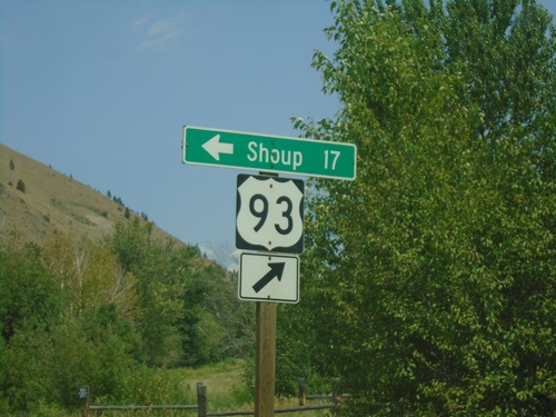
US-93 north at Salmon River Road Jct. to Shoup. The Salmon River heads west here.

US-93 North - North Fork Salmon River

US-93 North - North Fork Salmon River

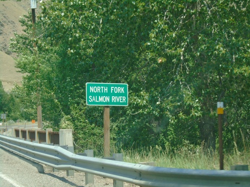
US-93 North at North Fork Salmon River bridge.

US-93 North - North Fork

US-93 North - North Fork

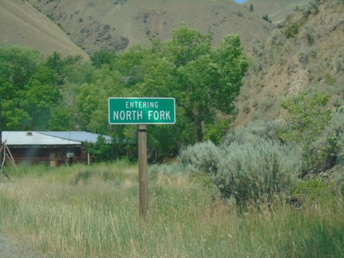
Entering North Fork on US-93 north.

Salmon

US-93 South - 45th Parallel

US-93 South - 45th Parallel

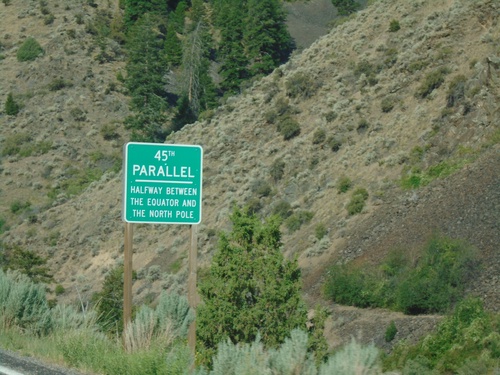
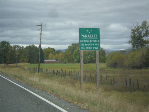
US-93 South - 45th Parallel - Halfway Between Equator and North Pole.

US-93 South at ID-28

US-93 South at ID-28

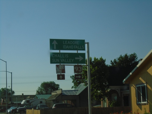
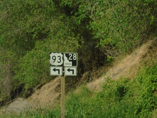
US-93 south at ID-28 in Salmon. Turn right to continue south on US-93 to Challis and Sun Valley. Continue straight on Main St. for ID-28 South to Leadore and Idaho Falls.
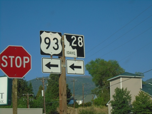
US-93 South/To ID-28 - Main St. Jct.

US-93 South/To ID-28 - Main St. Jct.

US-93 South/To ID-28 at Main St. in Salmon. Turn left on Main St. to continue south on US-93 and for ID-28.
US-93 South/To ID-28 - Salmon

US-93 South/To ID-28 - Salmon

US-93 South/To ID-28 at Main St. in Salmon

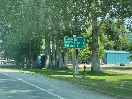
US-93 North - Distance Marker

US-93 North - Distance Marker

Distance marker on US-93 north. Distance to Carmen, North Fork, and Missoula (Montana).
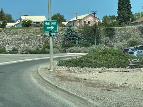
US-93 North - Salmon

US-93 North - Salmon

US-93 North in Salmon. Turn right to continue north on US-93 towards Missoula (Montana).
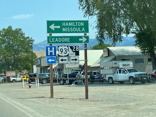
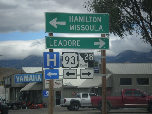
US-93 North at ID-28

US-93 North at ID-28

US-93 North at ID-28 south to Leadore. Turn left to continue north on US-93 to Hamilton (MT) and Missoula (MT).
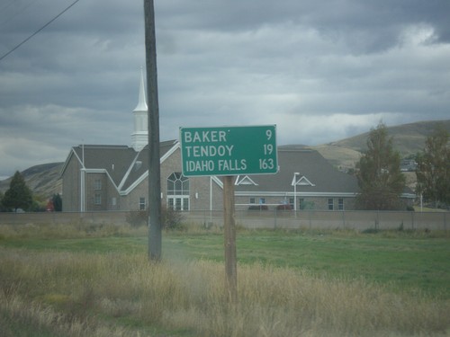
ID-28 South - Distance Marker

ID-28 South - Distance Marker

Distance marker on ID-28 south in Salmon. Distance to Baker, Tendoy, and Idaho Falls.
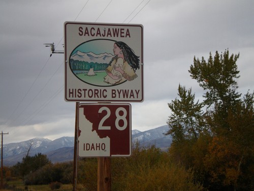
ID-28 South - Sacajawea Historic Byway

ID-28 South - Sacajawea Historic Byway

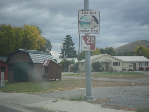
Sacajawea Historic Byway on ID-28 South in Salmon.

US-93 North at ID-28

US-93 North at ID-28

US-93 North at ID-28 south to Leadore. Turn left to continue north on US-93 to Hamilton (MT) and Missoula (MT).
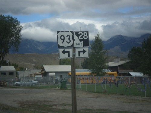
US-93 North Approaching ID-28

US-93 North Approaching ID-28

US-93 North approaching ID-28 in Salmon. Turn left to continue north on US-93; right for ID-28 south.
US-93 North - Entering Salmon

US-93 North - Entering Salmon

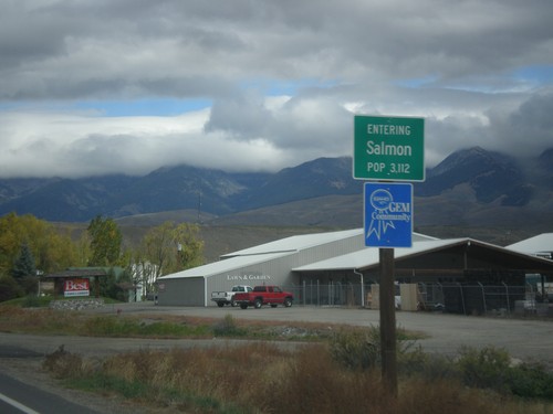
Entering Salmon - Population 3,112 on US-93 north. Salmon is the county seat of Lemhi County.

US-93 in Salmon

US-93 in Salmon

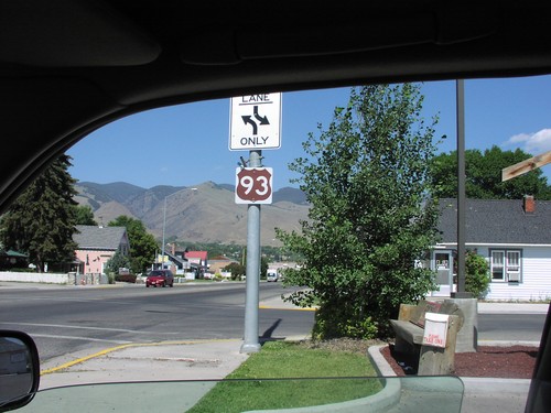
US-93 Scenic Byway Shield on US-93 North

US-93 North at ID-28

US-93 North at ID-28

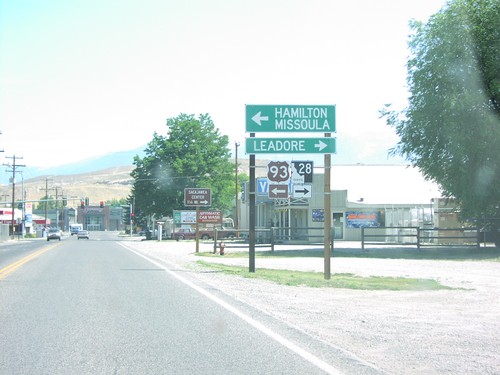
US-93/ID-28 Junction To Missoula/Leadore on US-93 North

Tendoy

ID-28 South - 45th Parallel

ID-28 South - 45th Parallel

ID-28 South - 45th Parallel - Halfway Between The Equator and North Pole.

ID-28 North - Sacajawea Historic Byway

ID-28 North - Sacajawea Historic Byway

Sacajawea Scenic Byway on ID-28 north.