Owyhee County, Idaho
Localities: Bruneau | Grand View | Homedale | Marsing | Melba | Mountain Home | Murphy | Owyhee | Riddle | Rockville
Bruneau
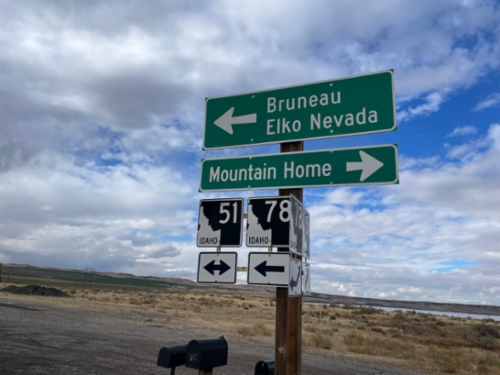
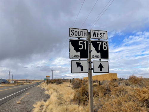
ID-78 West at ID-51
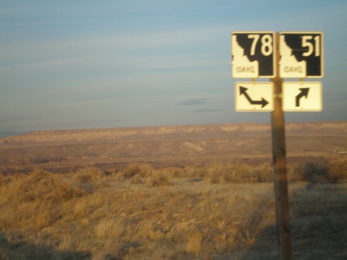
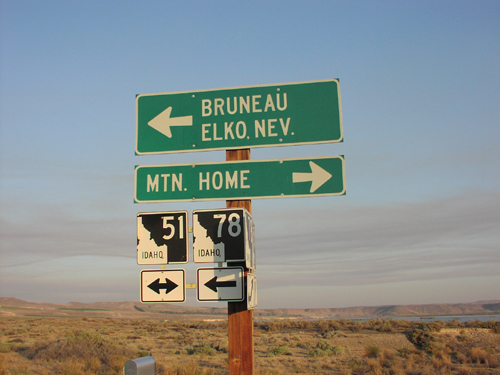
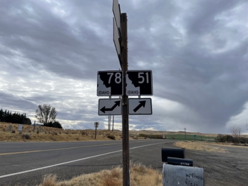
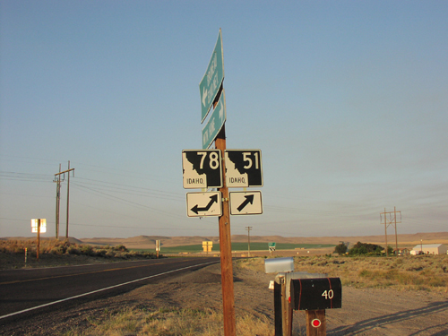
ID-78 west at ID-51. Use ID-51 north for Mountain Home. Use ID-51 South/ID-78 West for Bruneau and Elko, Nevada.
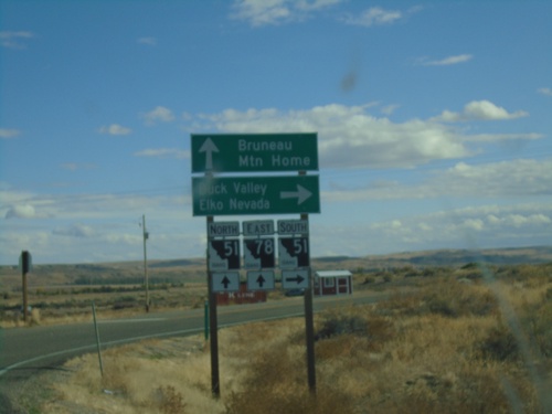
ID-78 East at ID-51
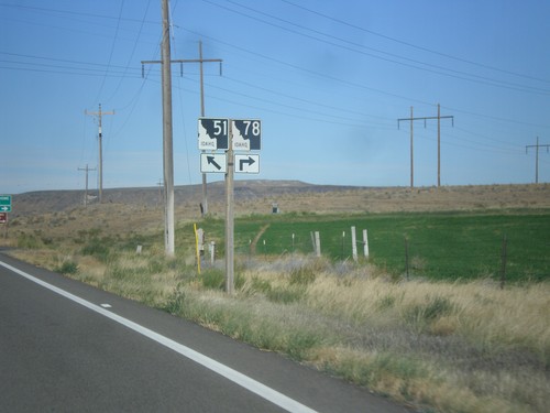
ID-78 East at ID-51 junction in Owyhee County. Continue on ID-78 East/ID-51 North for Bruneau and Mountain Home. Use ID-51 South for Duck Valley and Elko, Nevada.
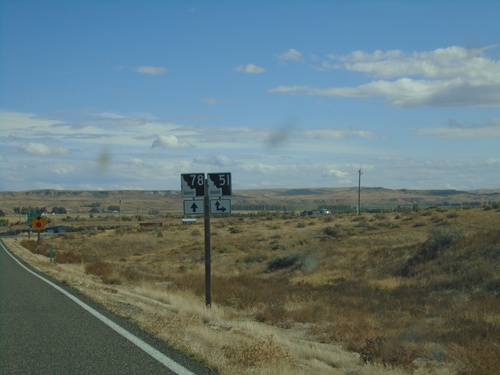
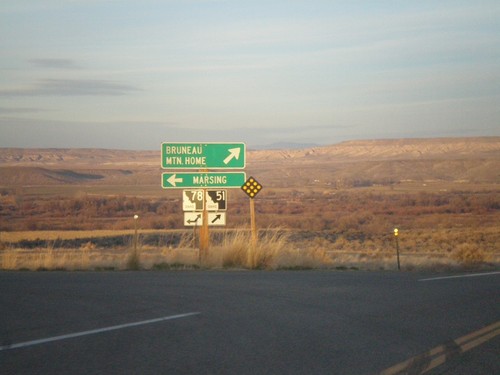
ID-78 East Approaching ID-51
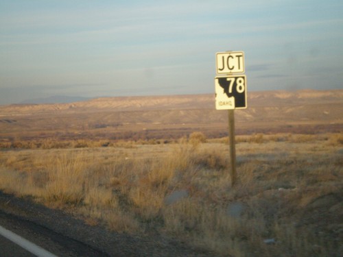
ID-78 East approaching ID-51 in Owyhee County. ID-78 East joins ID-51 north through Bruneau.
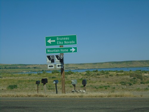
ID-78 West at ID-51
ID-78 west at ID-51. Use ID-51 north for Mountain Home. Use ID-51 South/ID-78 West for Bruneau and Elko, Nevada.
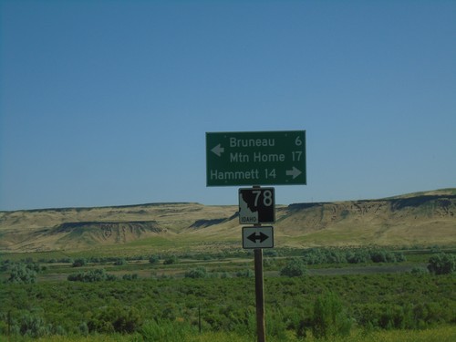
Bruneau Dunes State Park Road at ID-78
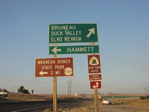
Bruneau Dunes State Park Road at ID-78 in Owyhee County. Turn right for ID-78 east to Hammett; turn left for ID-78 west to Mountain Home and Bruneau.
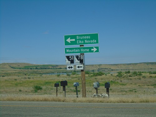
ID-78 West at ID-51
ID-78 west at ID-51. Use ID-51 north for Mountain Home. Use ID-51 South/ID-78 West for Bruneau and Elko, Nevada.
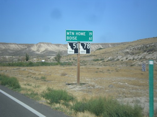
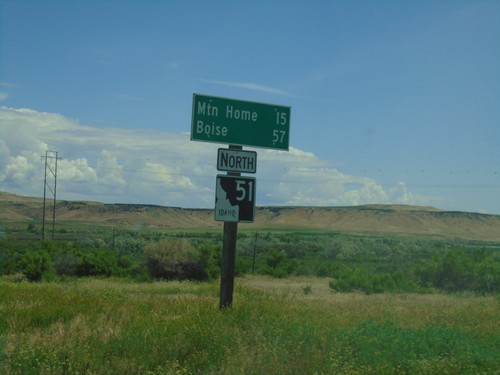
ID-51 North/ID-78 East - Distance Marker
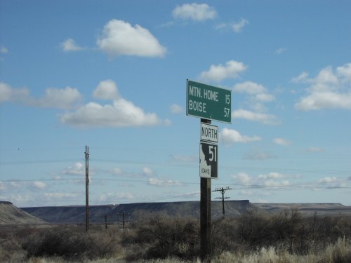
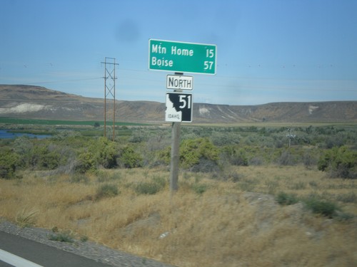
Distance marker on ID-51 North/ID-78 East. Distance to Mountain Home and Boise.
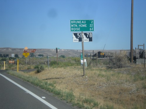
ID-51 North/ID-78 East - Distance Marker
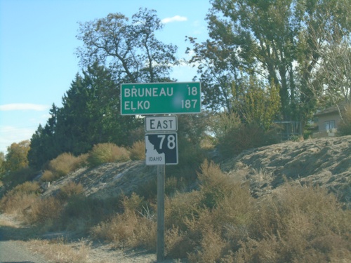
Distance marker on ID-51 North/ID-78 East. Distance to Bruneau, Mountain Home, and Boise.
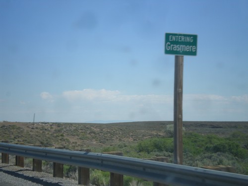
ID-51 North - Entering Grasmere
Entering Grasmere on ID-51 north. Grasmere is basically a ghost town. There are some broken down gas pumps and a few abandoned buildings.
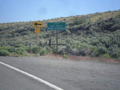
ID-51 North - Leaving Duck Valley Indian Reservation
Leaving the Duck Valley Indian Reservation on ID-51 north.
Grand View
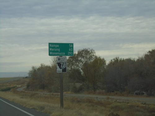
ID-78 West - Distance Marker
Distance marker on ID-78 west. Distance to Nampa, Marsing, and Winnemucca (Nevada).
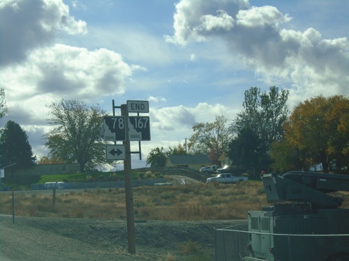
End ID-167 West at ID-78
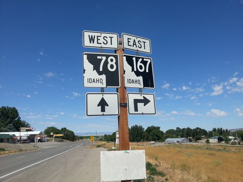
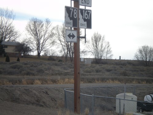
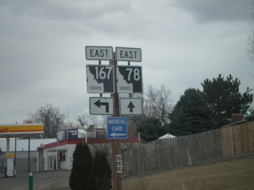
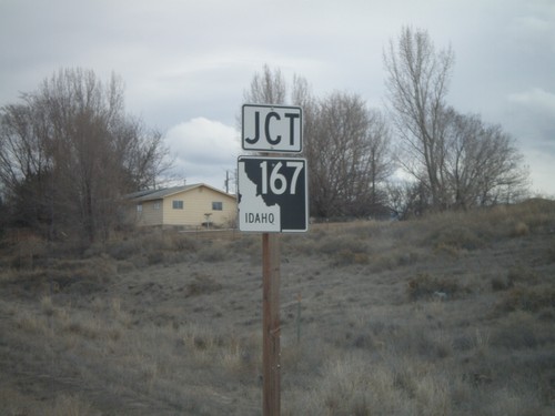
End ID-167 west at ID-78 in Grand View. ID-167 is the newest state highway in Idaho, formed in May of 2010. ID-167 replaces ID-67 between Mountain Home Air Force Base and Grand View.
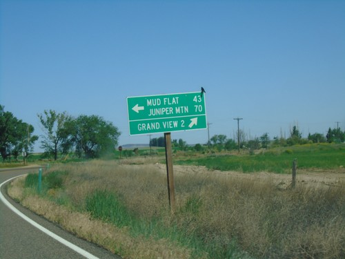
ID-78 West at Mud Flat Road
ID-78 west at Mud Flat Road to Mud Flat and Juniper Mountain. Continue west on ID-78 for Grand View.
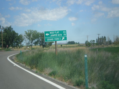
ID-78 West at Mud Flat Road
ID-78 west at Mud Flat Road to Mud Flat and Juniper Mountain. Continue west on ID-78 for Grand View. This is the beginning of the Owyhee Uplands Backcountry Byway, which follows Mud Flat Road along the south side of the Owyhee Mountains and ending in Jordan Valley, Oregon.
Homedale
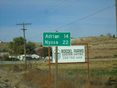
ID-19 West - Distance Marker
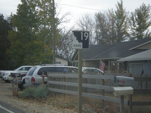
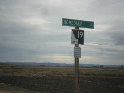
Distance marker on ID-19 west. Distance to Adrian (Oregon) and Nyssa (Oregon).
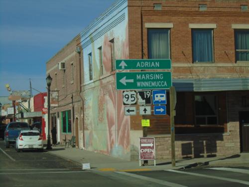
ID-19 West at Main Street - Homedale
ID-19 West at Main St. in Homedale. This intersection was formerly along the route of US-95, until a bypass was constructed along the southeast side of town. Turn left on Main Street. for US-95, Marsing, and Winnemucca (Nevada). Continue straight on Idaho Ave. for ID-19 to Adrian (Oregon).
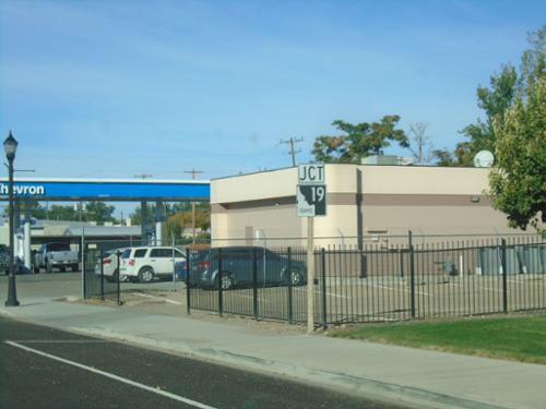
ID-19 West - Homedale
ID-19 west (Idaho Ave.) approaching Main Street in Homedale. The junction sign approaching this intersection suggests that ID-19 actually runs along Main Street.
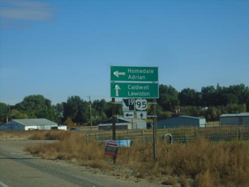
US-95 North at ID-19
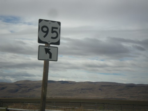
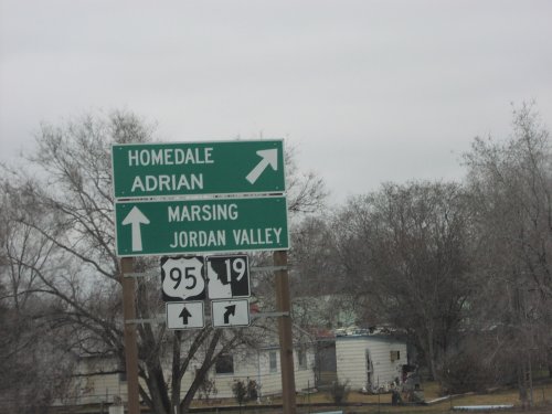
US-95 North at ID-19 in Homedale. Use ID-19 west to Homedale and Adrian (Oregon). Continue on US-95 North/ID-19 East to Caldwell and Lewiston.
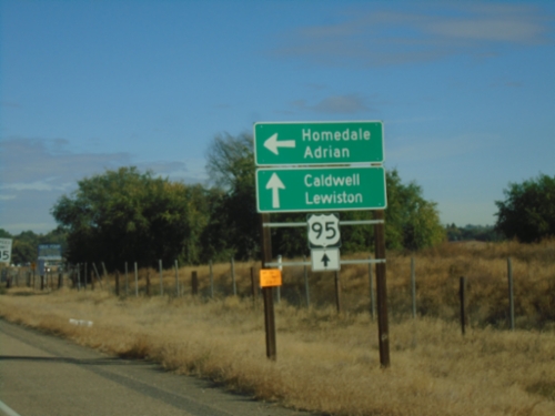
US-95 North - S Main St. (Homedale) Jct
US-95 North - S Main St. Junction. Use South Main St. for access to Homedale and Adrian (Oregon - via ID-19). Continue north on US-95 to Caldwell and Lewiston.
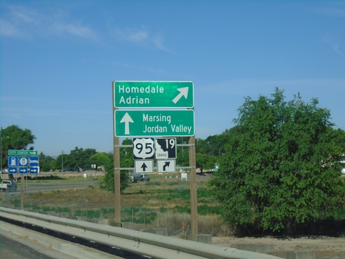
US-95 South/ID-19 At ID-19 West
US-95 South/ID-19 West At US-95/ID-19 split. Merge right for ID-19 west to Homedale and Adrian (Oregon). Continue south on US-95 for Marsing and Jordan Valley (Oregon).
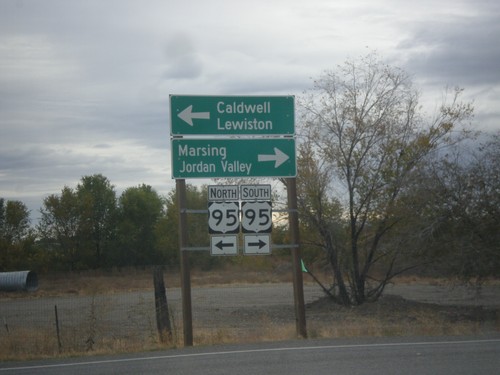
Main St. South at US-95
Main St. South at US-95 in Homedale. Turn left for US-95 north to Caldwell and Lewiston. Turn right for US-95 south to Marsing and Jordan Valley (Oregon).
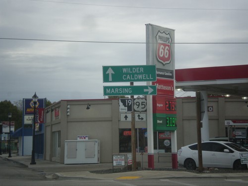
ID-19 East at US-95 in Homedale
ID-19 East at US-95 in Homedale. Turn right for US-95 south to Marsing. Continue straight for US-95 North/ID-19 East to Caldwell and Wilder.
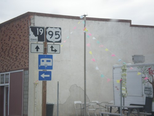
ID-19 East at US-95 in Homedale
ID-19 East at US-95 in Homedale. Turn right on Main St. to access US-95 south; continue straight on Idaho Ave. to access US-95 north. ID-19 joins US-95 east to Wilder. US-95 no longer passes through this intersection since the bypass was completed.
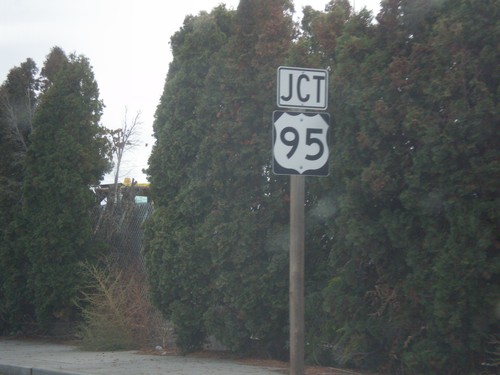
ID-19 East Approaching Main St. (To US-95)
ID-19 East Approaching Main St. (To US-95) in Homedale. Main St. was the former route of US-95 through Homedale before the bypass was completed.
Marsing
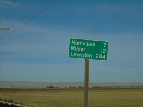
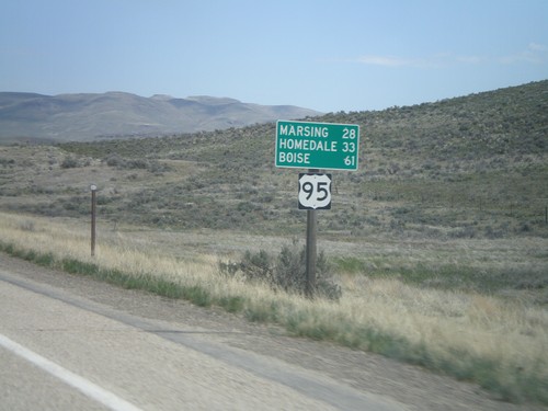
US-95 North - Distance Marker
Distance marker on US-95 north. Distance to Homedale, Wilder, and Lewiston.
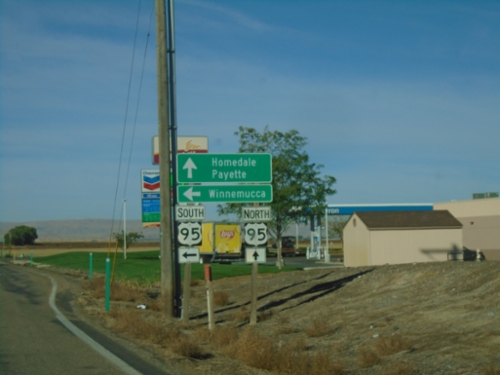
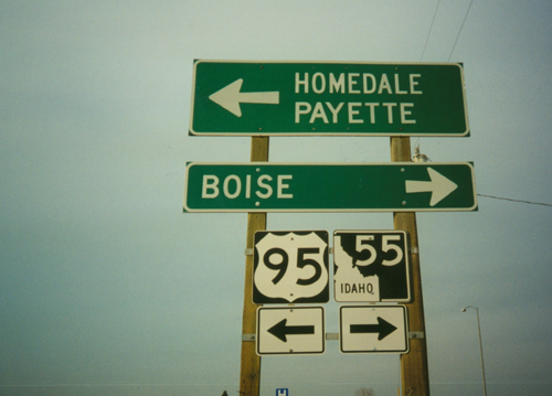
End ID-55 South at US-95
End ID-55 South at US-95. Use US-95 north to Homedale and Payette. Use US-95 south to Winnemucca (Nevada).
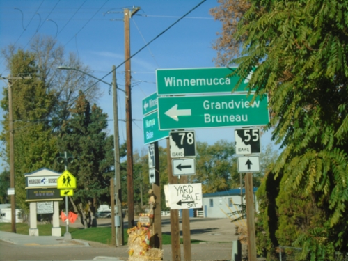
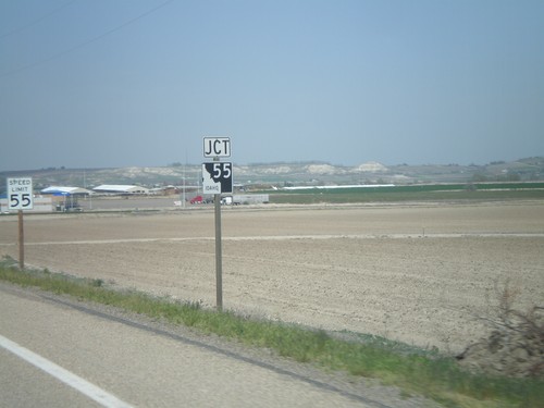
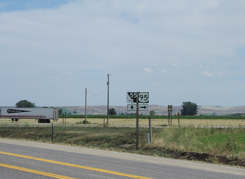
ID-55 South at ID-78
ID-55 south at ID-78 east to Grandview and Bruneau. Continue south on ID-55 for Winnemuuca (Nevada), via US-95 south.
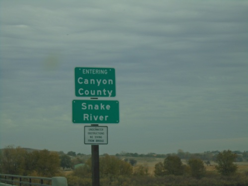
ID-55 North - Canyon County/Snake River
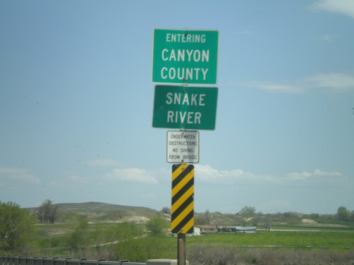
ID-55 north crossing the Snake River and entering Canyon County.
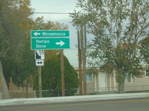
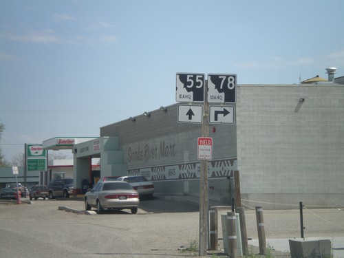
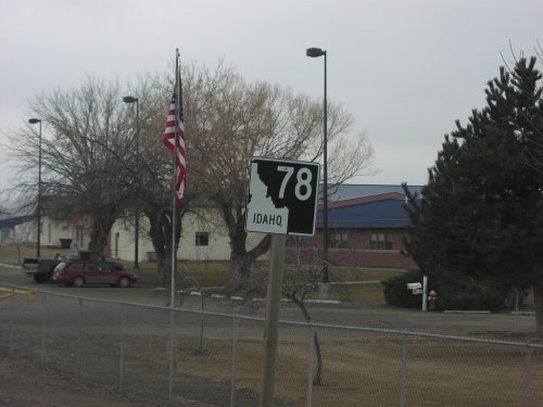
End ID-78 at ID-55
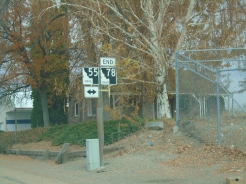
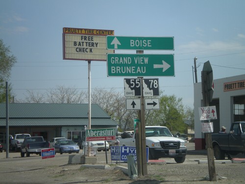
End ID-78 at ID-55 in Marsing. Turn right for ID-55 north to Nampa and Boise. Turn left for ID-55 south to Winnemucca (Nevada).
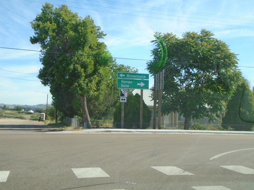
End ID-78 at ID-55
End ID-78 at ID-55 in Marsing. Turn right for ID-55 north to Nampa and Boise. Turn left for ID-55 south to Winnemucca (Nevada).
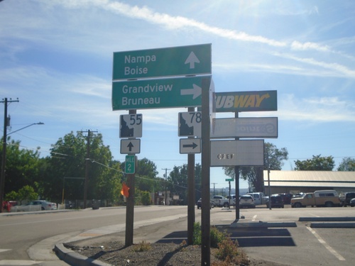
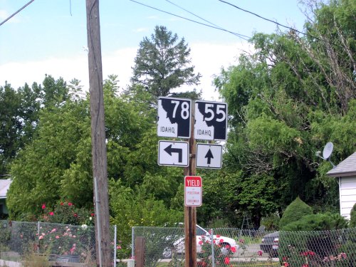
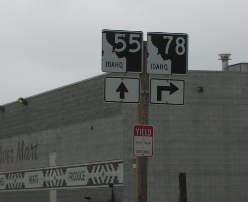
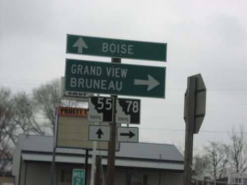
ID-55 North at ID-78
ID-55 north at ID-78 junction to Grandview and Bruneau. Continue north on ID-55 to Nampa and Boise. Milepost 2.
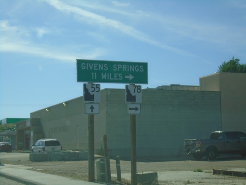
ID-55 North - Givens Hot Springs
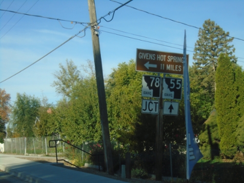
ID-55 north approaching ID-78 junction in Marsing. Use ID-78 south for Givens (Hot) Springs.
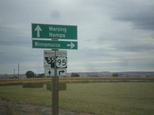
US-95 South Approaching ID-55
US-95 south approaching ID-55. Turn right to continue south on US-95 to Winnemucca (Nevada); straight for ID-55 north to Marsing and Nampa.
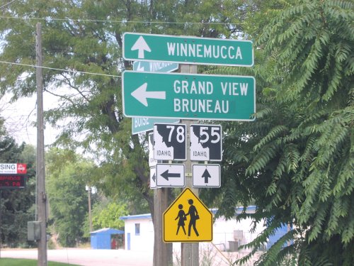
ID-55 South at ID-78
ID-55 south at ID-78 east to Grand View and Bruneau. ID-78 follows the south side of the Snake River to Hammett.
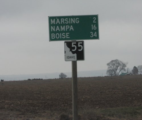
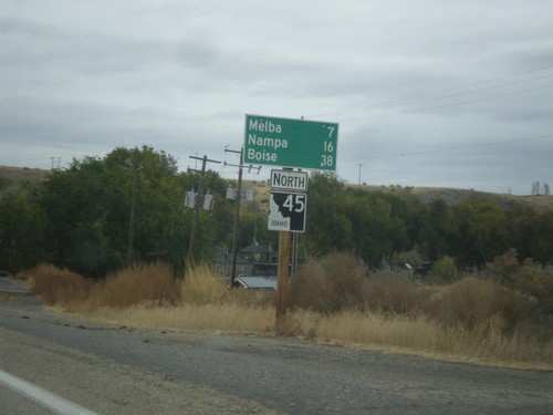
ID-55 North - Distance Marker
Distance marker on ID-55 north in Marsing. Distance to Marsing, Nampa, and Boise.
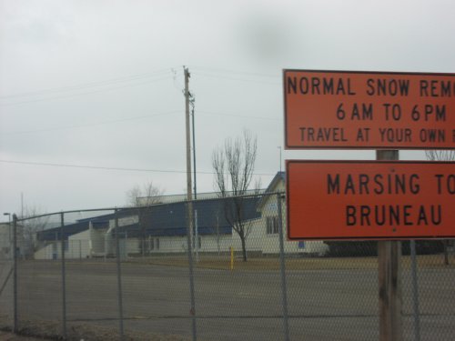
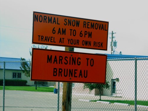
ID-78 East - Snow Removal Hours
Sign describing snow removal schedule on ID-78 between Marsing and Bruneau.
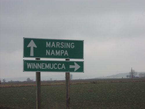
US-95 South Approaching ID-55
US-95 south approaching ID-55. Turn right to continue south on US-95 to Winnemucca (Nevada); straight for ID-55 north to Marsing and Nampa.
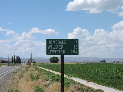
US-95 North - Distance Marker
Distance marker on US-95 north. Distance to Homedale, Wilder, and Lewiston.
Melba
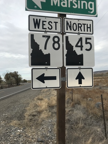
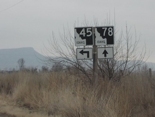
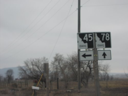
ID-78 West at ID-45
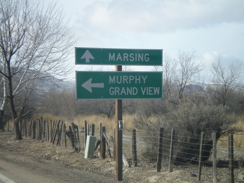
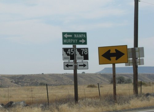
ID-78 West at ID-45 in Owyhee County. The shields are the new style of Idaho state highway shields.
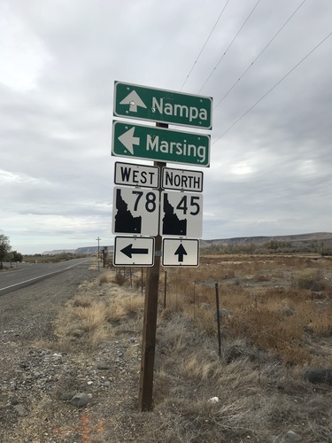
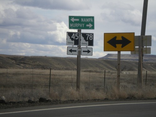
ID-78 West at ID-45
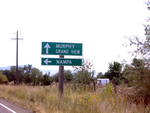
ID-78 West at ID-45 in Owyhee County. Use ID-45 north for Nampa; ID-78 west for Marsing. The shields are the new style of Idaho state highway shields.
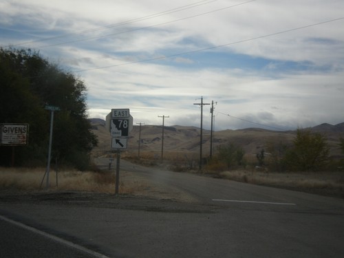
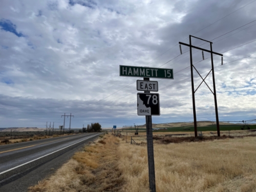
ID-78 East - Sommercamp Road
ID-78 East at Sommercamp Road junction. Merge left to continue east on ID-78.
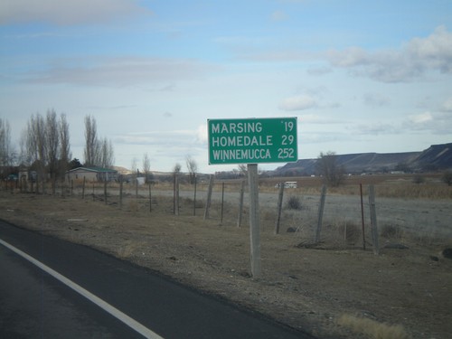
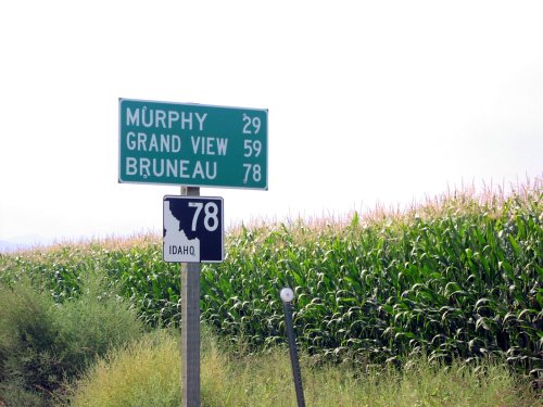
ID-78 West - Distance Marker
Distance marker on ID-78 west to Marsing, Homedale, and Winnemucca (Nevada).
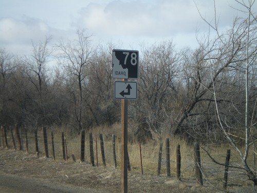
End ID-45 South at ID-78
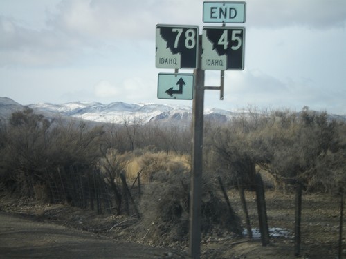
End ID-45 south at ID-78. A short connector road links ID-45 south with ID-78 west.
Mountain Home
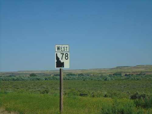
ID-78 West - Owyhee County
ID-78 west in Owyhee County. The ID-78 shield here is the new style of shields used on guide signs that have been appearing around the state. It appears the incorrect type of state highway shield was used here.
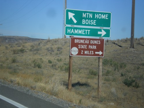
ID-51 North/ID-78 East Jct.
ID-51 North/ID-78 East at ID-51/ID-78 junction. Turn right for ID-78 east to Hammett and Bruneau Dunes State Park. Continue north on ID-51 for Mountain Home and Boise.
Murphy
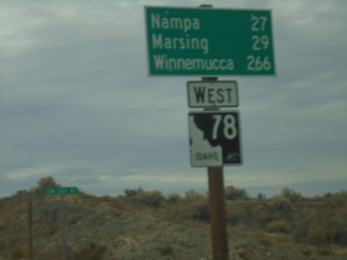
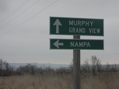
ID-78 West - Distance Marker
Distance marker on ID-78 west. Distance to Nampa, Marsing, and Winnemucca (Nevada).
Owyhee
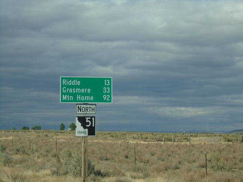
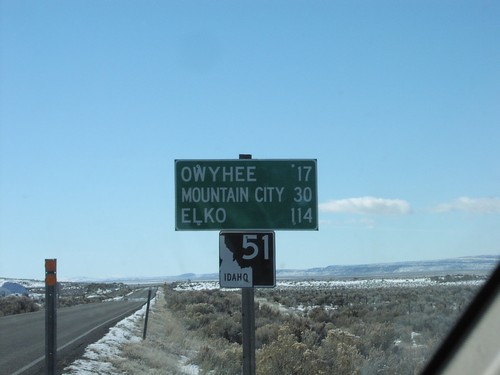
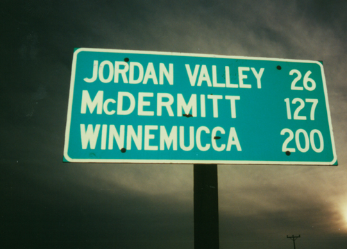
ID-51 North - Distance Marker
Distance marker on ID-51 north. Distance to Riddle, Grasmere, and Mountain Home. This is the first shield and distance marker along ID-51 after the stateline.
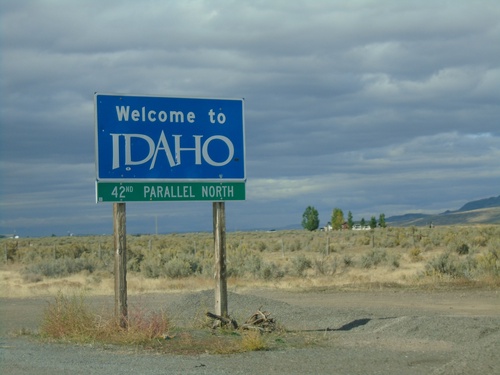
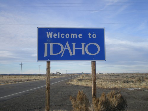
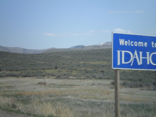
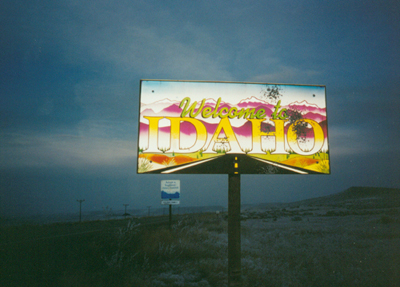
Welcome To Idaho - ID-51 North
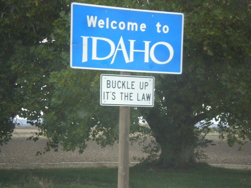
Welcome to Idaho on ID-51 north at the Idaho-Nevada state line. 42nd Parallel North.
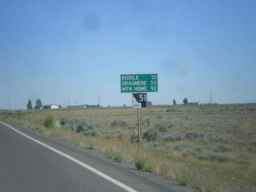
ID-51 North - Distance Marker
Distance marker on ID-51 north. Distance to Riddle, Grasmere, and Mountain Home. This is the first shield and distance marker along ID-51 after the stateline.
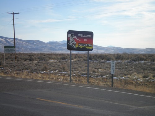
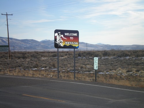
Welcome To Nevada - NV-225 South
Welcome to Nevada on NV-225 south. Elko County Nevada Postmile marker as well.
