Payette County, Idaho
Localities: Caldwell | Fruitland | New Plymouth | Palisades Corner | Payette | Sand Hollow
Caldwell
Fruitland
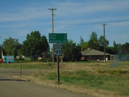
US-95 South - Distance Marker
Distance marker on US-95 south. Distance to Parma, Wilder, and Winnemucca (Nevada).
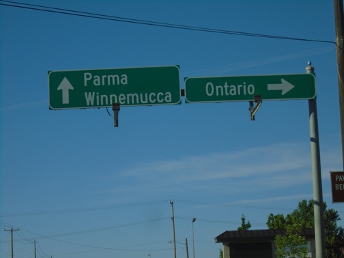
US-95 South At US-30
US-95 south at US-30 west to Ontario, Oregon. Continue south on US-95/US-30 for Parma and Winnemucca (Nevada).
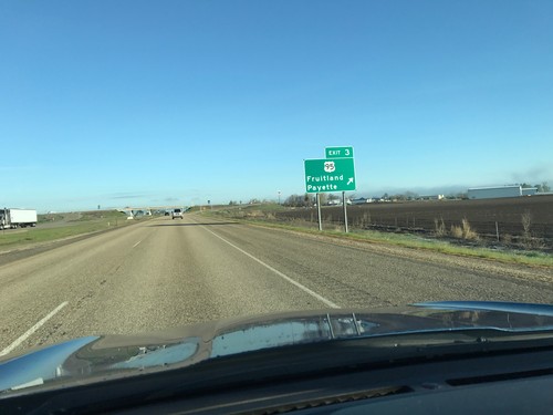
I-84 West - Exit 3
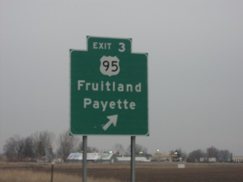
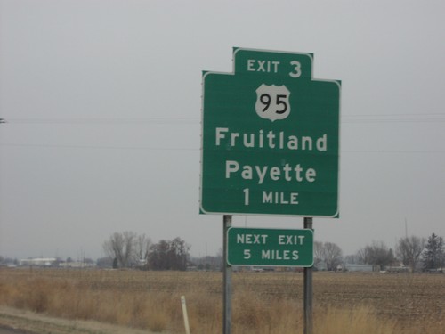
I-84 west at Exit 3 - US-95/Fruitland/Payette. This is the last exit on I-84 westbound in Idaho.
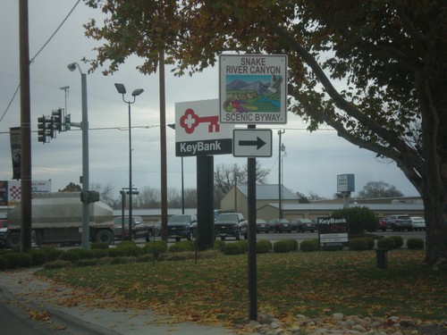
US-30 East Approaching US-95 - Snake River Canyon Scenic Byway
US-30 East approaching US-95. Turn right to continue on the Snake River Canyon Scenic Byway.
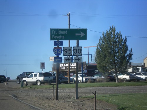
US-30 West at US-95
US-30 west at US-95. Turn right on US-95 north for Fruitland and Payette. Turn left on US-95 south for I-84. US-30 follows US-95 north to Fruitland.
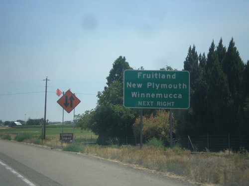
I-84 East Approaching Exit 3
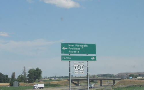
I-84 east approaching Exit 3. Use Exit 3 for Fruitland, New Plymouth, and Winnemucca (Nevada).
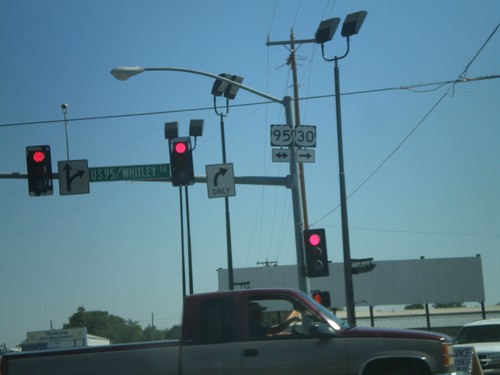
US-30 East At US-95
US-30 East at US-95. Turn right for US-30 East/US-95 South; left for US-95 North. US-30 joins US-95 through Fruitland.
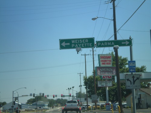
US-30 East Approaching US-95
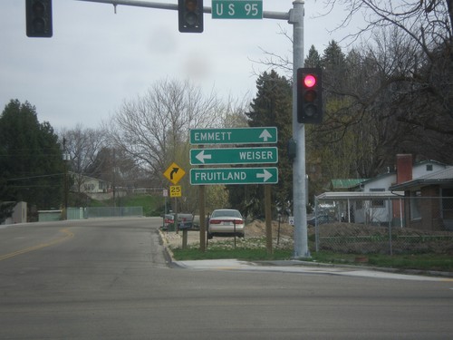
US-30 East approaching US-95. Turn left for US-95 North to Weiser and Payette. Turn right for US-95 South/US-30 East for Parma. US-30 joins US-95 South through Fruitland.
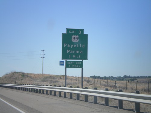
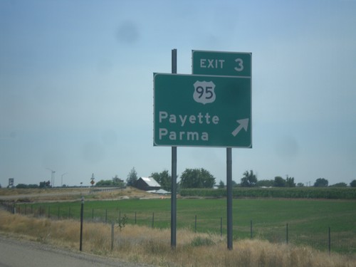
I-84 East - Exit 3
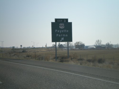
I-84 east at Exit 3 - US-95/Payette/Parma. This is the first exit on I-84 eastbound in Idaho.
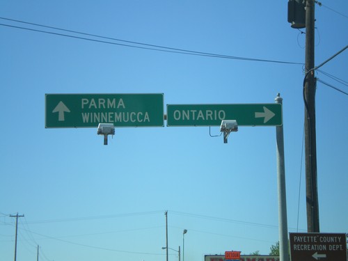
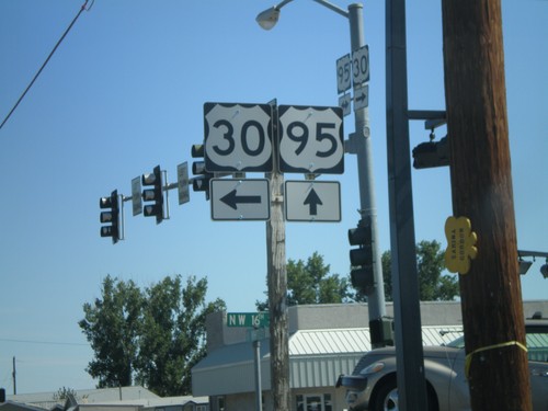
US-95 South At US-30
US-95 south at US-30 west to Ontario, Oregon. Continue south on US-95/US-30 for Parma and Winnemucca (Nevada).
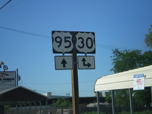
US-95 South at US-30
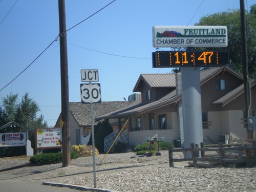
US-95 south at US-30 in Fruitland. US-30 east joins US-95 south through Fruitland.
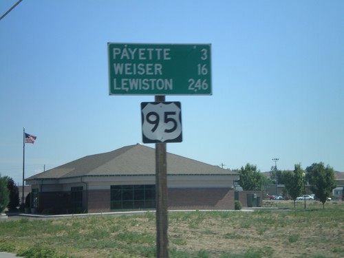
Distance Marker on US-95 North - Fruitland
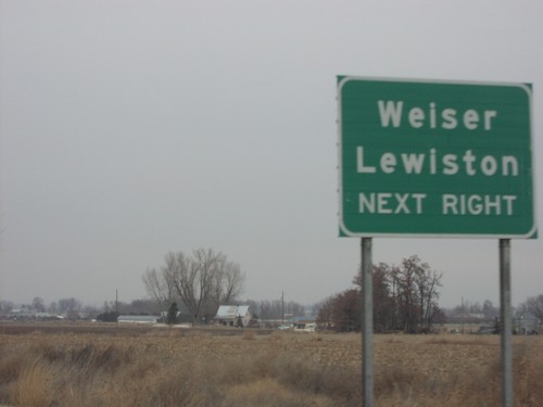
US-95 north - distance marker. Distance to Payette, Weiser, and Lewiston.
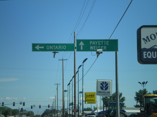
US-95 North/US-30 West at US-30 Split
US-95 North/US-30 West at US-30 split in Fruitland. Turn left for US-30 west to Ontario (Oregon). Continue straight ahead for US-95 north to Payette and Weiser.
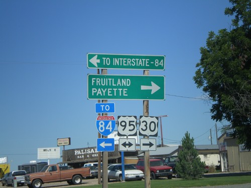
US-30 West at US-95
US-30 west at US-95. Use US-95 north to Fruitland and Payette; south to I-84. US-30 joins US-95 north through Fruitland.
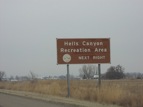
I-84 West - Use Exit 3 For Hells Canyon Rec. Area
Hells Canyon Rec. Area next right, approaching Exit 3 on I-84 west.
New Plymouth
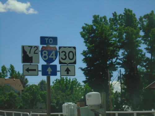
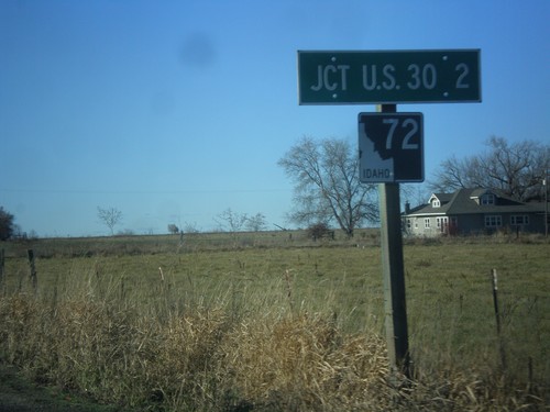
US-30 East approaching ID-72
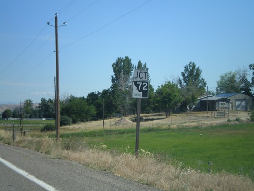
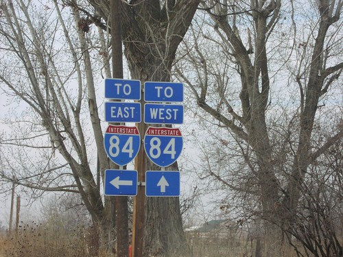
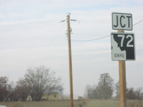
US-30 East approaching ID-72. Turn left for ID-72; continue straight for access to I-84.
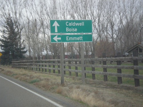
US-30 East at ID-72
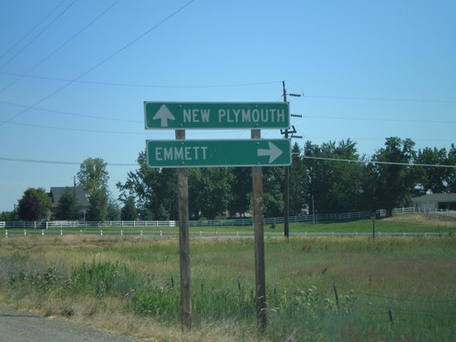
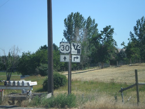
US-30 East at ID-72 East to Emmett. Continue east on US-30 for Caldwell and Boise.
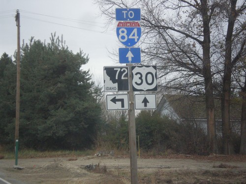
US-30 East approaching ID-72
US-30 East approaching ID-72. Turn left for ID-72; continue straight for access to I-84.
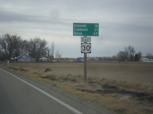
US-30 East - Distance Marker
Distance marker on US-30 east. Distance to Emmett (via ID-72), Caldwell, and Boise.
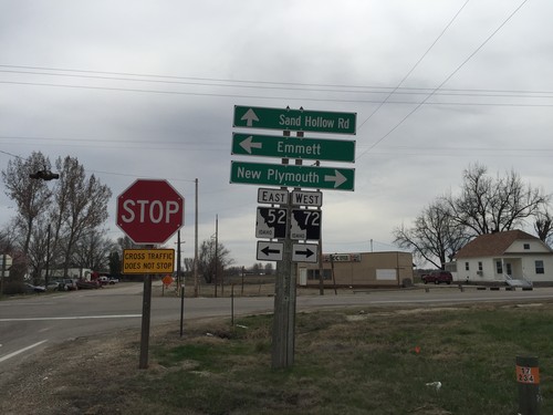
ID-52 East at ID-72
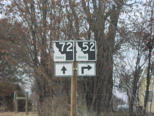
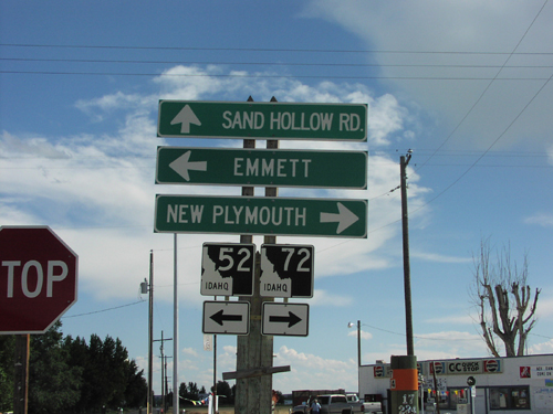
ID-52 east at ID-72 junction. Turn left to continue on ID-52 east to Emmett. Turn right for ID-72 west to New Plymouth. Sand Hollow Road (old US-30) continues south.
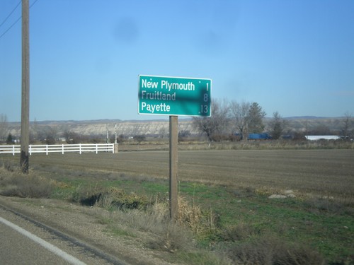
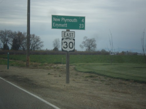
US-30 West - Distance Marker
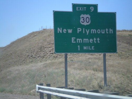
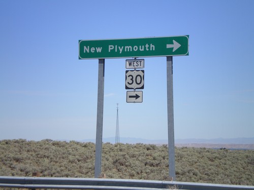
Distance marker on US-30 west. Distance to New Plymouth, Fruitland, and Payette.
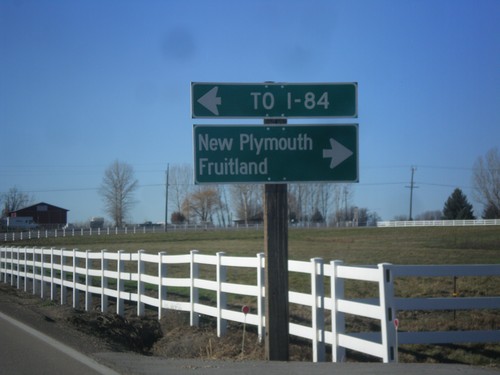
End ID-72 West at US-30
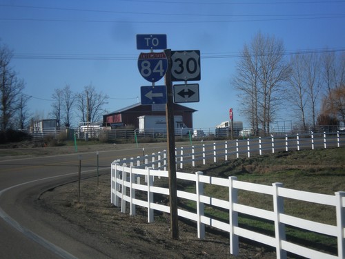
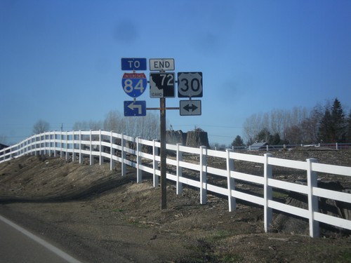
End ID-72 west at US-30. Turn right for US-30 west to New Plymouth and Emmett. Turn left for US-30 east to I-84.
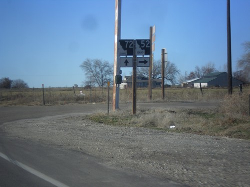
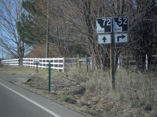
ID-52 West at ID-72
ID-52 West at ID-72 west in Payette County. Turn right to continue west on ID-52. Continue straight for ID-72 west.
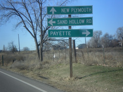
ID-52 West at ID-72
ID-52 west at ID-72 west to New Plymouth. Use ID-52 west for Payette. Turn left for Sand Hollow Road.
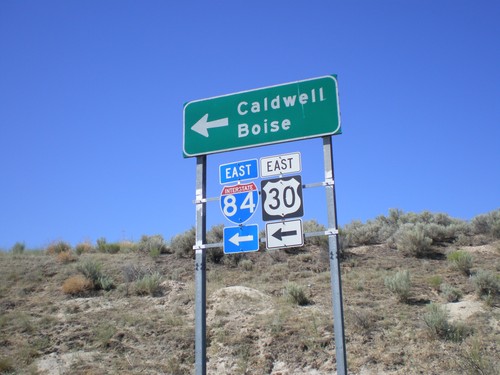
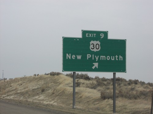
I-84/US-30 Exit 9 Onramp
US-30 east at I-84 East (Exit 9) onramp to Caldwell and Boise. US-30 joins I-84 east to Bliss.
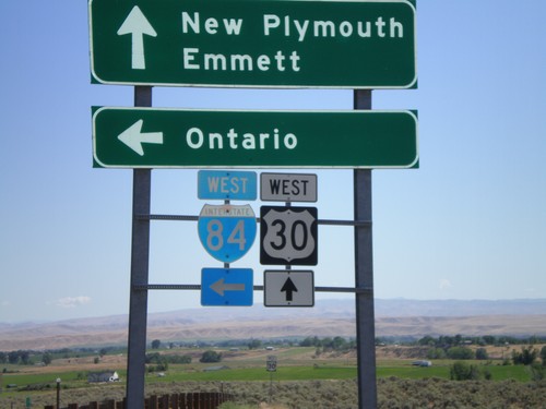
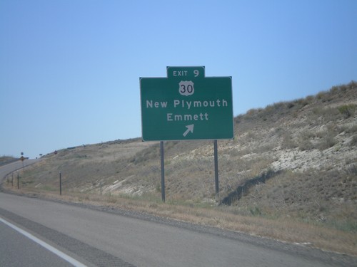
I-84 at US-30 (Exit 9)
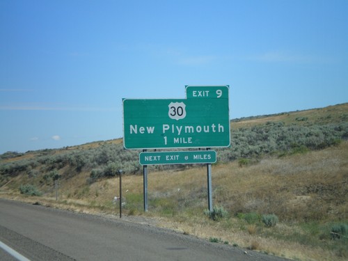
I-84, Exit 9 onramp to Ontario (Oregon). Continue straight for US-30 west to New Plymouth and Emmett.
Palisades Corner
Payette
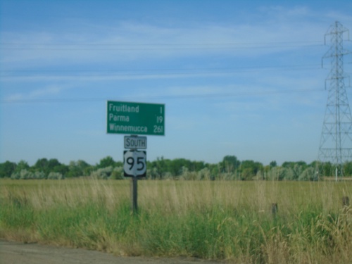
US-95 South - Distance Marker
Distance marker on US-95 south. Distance to Fruitland, Parma, and Winnemucca (Nevada).
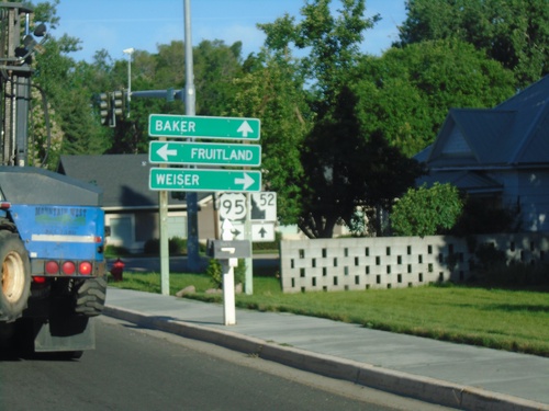
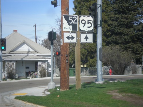
ID-52 West at US-95
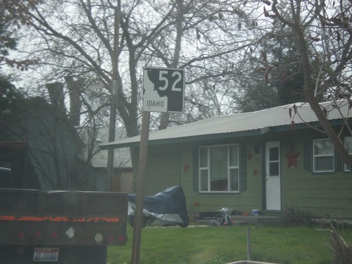
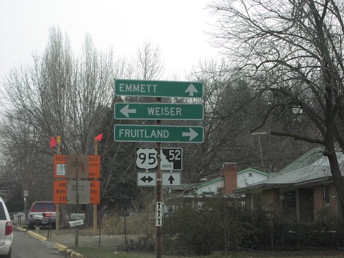
ID-52 west at US-95 in Payette. Turn right for US-95 north to Weiser; left for US-95 south to Fruitland. Continue west on ID-52 for Baker (City, Oregon). The ID-52 shield is the new style of Idaho state highway shield.
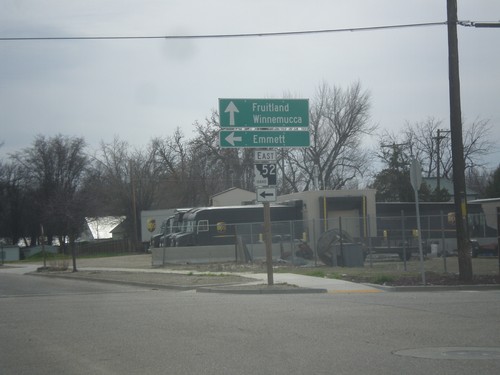
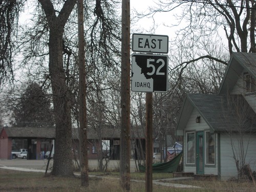
ID-52 East - Payette
ID-52 east (South 7th St.) at 2nd Ave. South. Turn left to continue east on ID-52 for Emmett. Continue south on South 7th St. for US-95 south to Fruitland and Winnemucca (Nevada).
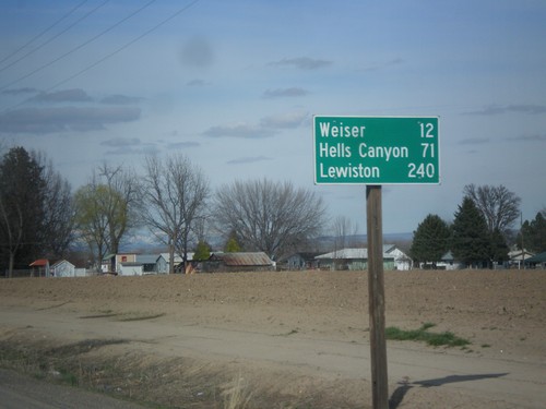
US-95 North - Distance Marker
Distance marker on US-95 north. Distance to Weiser, Hells Canyon (at Brownlee Reservoir via ID-71) and Lewiston.
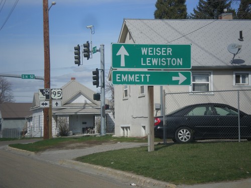
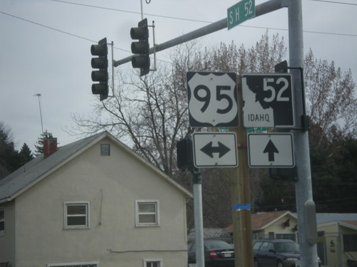
US-95 North at ID-52
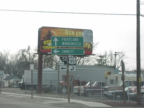
US-95 north at ID-52. Use ID-52 east to Emmett. Use US-95 north to Weiser and Lewiston.
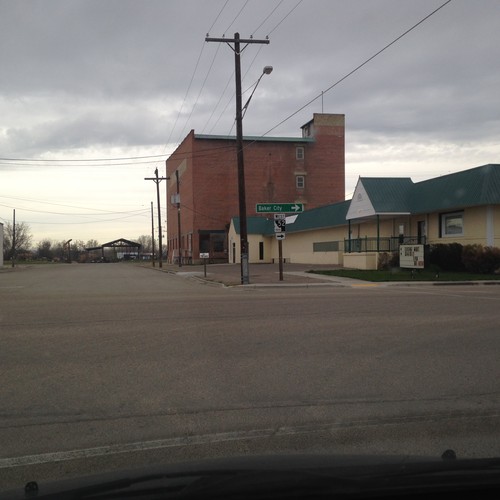
ID-52 West - Payette
ID-52 west in Payette. Turn right on 7th St. to continue west on ID-52 for Baker City (Oregon).
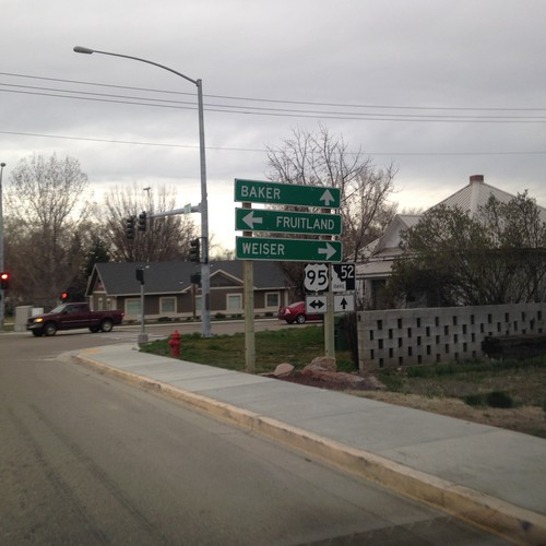
ID-52 West at US-95
ID-52 west at US-95 in Payette. Turn right for US-95 north to Weiser; left for US-95 south to Fruitland. Continue west on ID-52 for Baker (City, Oregon).
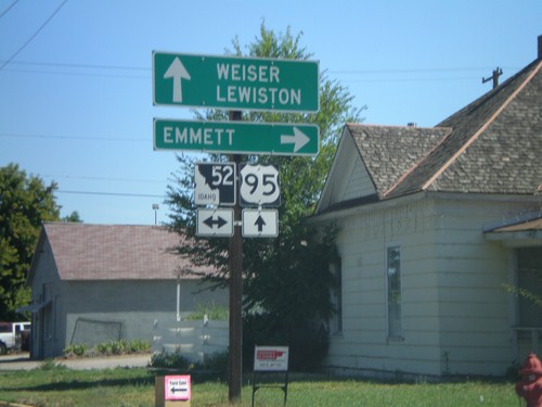
US-95 North at ID-52
US-95 north at ID-52. Use ID-52 east to Emmett. Use US-95 north to Weiser and Lewiston.
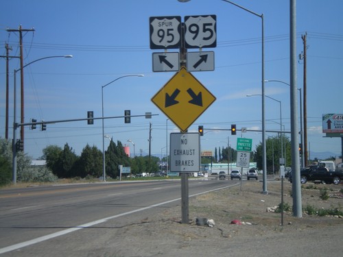
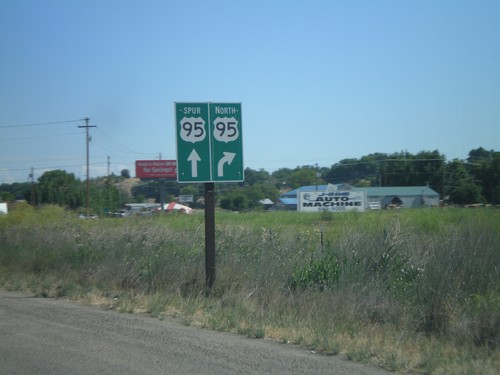
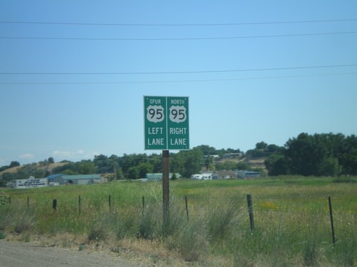
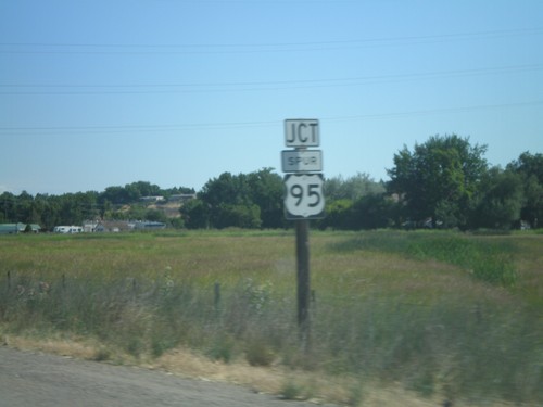
US-95 North at US-95 Spur (Payette)
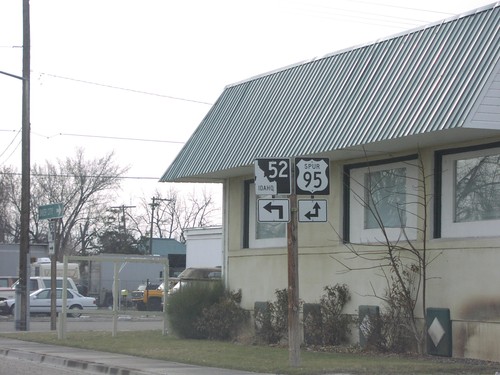
US-95 north at US-95 Spur junction. Merge right to continue north on US-95.
