Iron County, Missouri
Localities: Allen Mills | Arcadia | Iron | Ironton | Liberty
Allen Mills
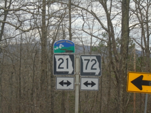
End MO-CC at MO-21/MO-72
End MO-CC at MO-21/MO-72 in Iron County. MO-21 is designated as the Ozark Run Scenic Byway.
Arcadia
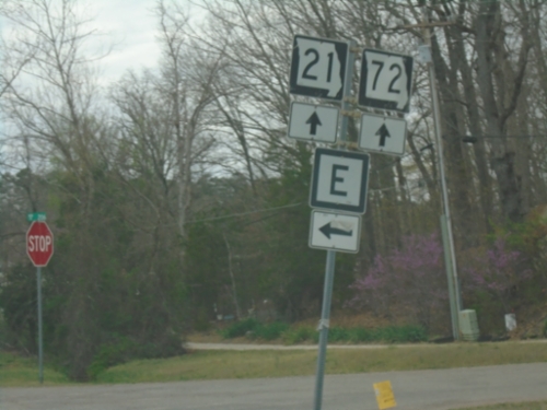
MO-21 South/MO-72 West at MO-E
MO-21 South/MO-72 West at MO-E in Iron County.
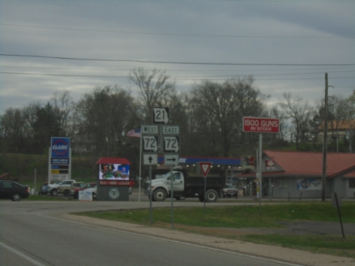
MO-21 South at MO-72 - Arcadia
MO-21 South at MO-72 in Arcadia. MO-72 West joins MO-21 southbound.
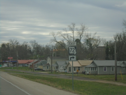
MO-21 South Approaching MO-72
MO-21 South approaching MO-72 East in Arcadia.
Iron
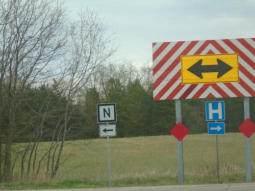
MO-21 South at MO-N
MO-21 South at MO-N in Iron County. Turn right to continue south on MO-21.
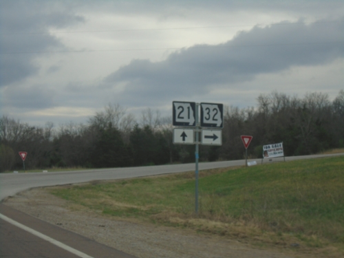
MO-21 South/MO-32 West Split
MO-21 South/MO-32 West split in Iron County.
Ironton
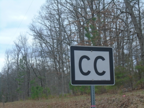
MO-CC - Iron County
MO-CC in Iron County. MO-CC connects MO-21/MO-72 with Taum Sauk Mountain State Park. Taum Sauk Mountain is the highest point in Missouri.
Liberty
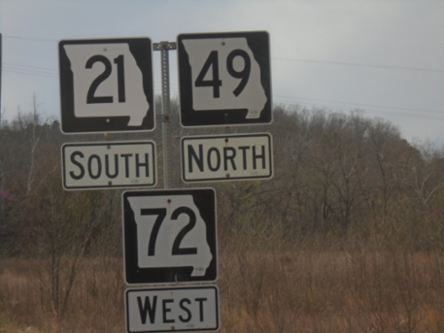
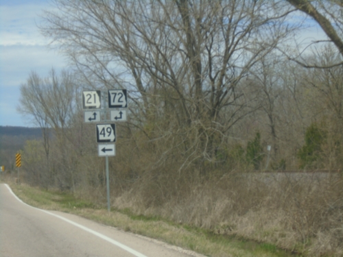
MO-21/MO-72/MO-49 - Iron County
MO-21 South/MO-72 South/MO-49 North in Iron County.
MO-49 North at MO-21/MO-72
MO-49 North at MO-21/MO-72 junction in Iron County. Turn left to continue north on MO-49.
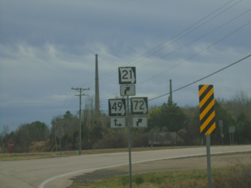
MO-21/MO-72 South at MO-49
MO-21/MO-72 South at MO-49 in Iron County. Turn right for MO-49 North and to continue on MO-21/MO-72 South. Continue straight on roadway for MO-49 South. The smokestacks in the background are the site of the Doe Run Company lead smelter.
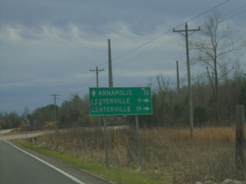
MO-21/MO-72 South Approaching MO-49
MO-21/MO-72 South approaching MO-49 in Iron County. Use MO-49 south to Annapolis; MO-49 North/MO-21/MO-72 South to Lesterville and Centerville. The smokestacks in the background are part of the Doe Run Company lead smelter.