Beaverhead County, Montana
Localities: Dalys | Dillon | Lima | Monida | Twin Bridges | Wisdom | Wise River
Dalys
Dillon
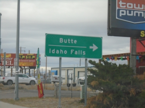
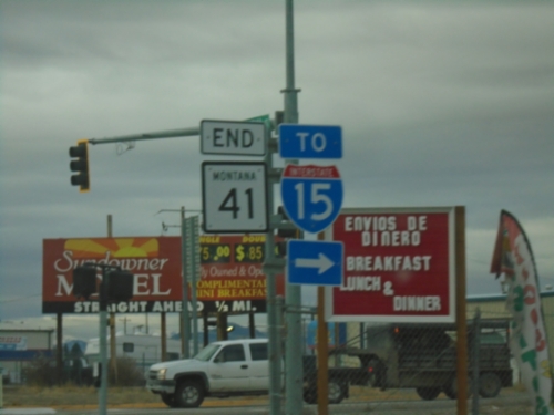
End MT-41 South at BL-15
End MT-41 South at BL-15 in Dillon. Turn right for BL-15 North for access to I-15 to Butte and Idaho Falls (Idaho).
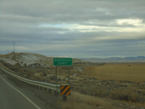
MT-41 South - Beaverhead County
Beaverhead County on MT-41 south. Beaverhead County is the largest county by area in Montana.
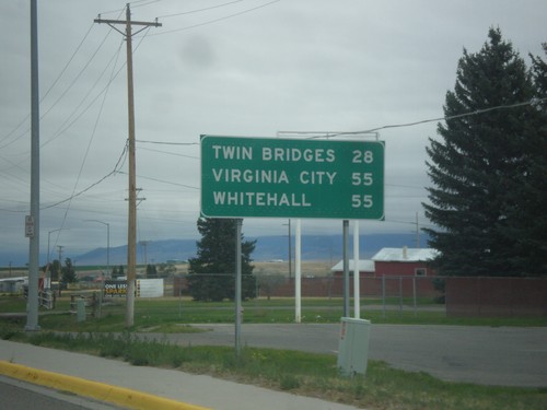
MT-41 North - Distance Marker
Distance marker on MT-41 north. Distance to Twin Bridges, Virginia City (via MT-287) and Whitehall.
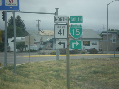
BL-15 South at MT-15
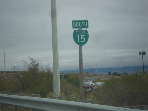
BL-15 South at MT-15 in Dillon. Turn right to continue south on BL-15; left for MT-41 north.
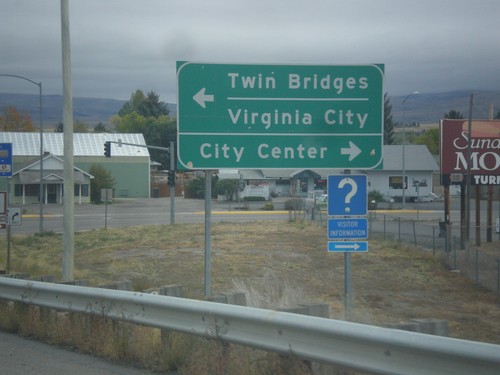
BL-15 South at MT-41
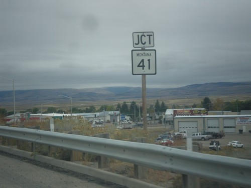
BL-15 at MT-41 in Dillon. Turn right to continue south on BL-15 for City Center (Dillon); left for MT-41 north to Twin Bridges and Virginia City.
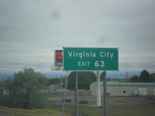
I-15 North - Exit 63
I-15 north approaching Exit 63. Use Exit 63 for Virginia City (via MT-41 and MT-287).
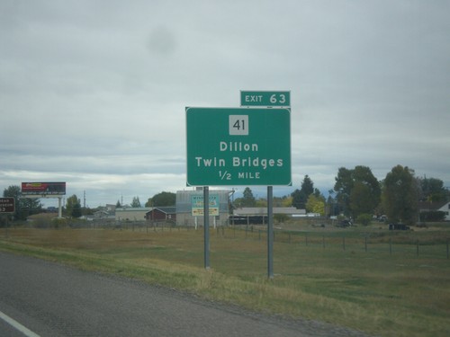
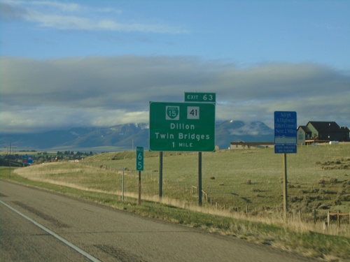
I-15 North - Exit 63
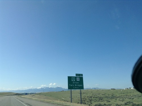
I-15 north approaching Exit 63 - MT-41/Dillon/Twin Bridges. MT-41 can be used as a shortcut between I-15 and I-90 at Whitehall.
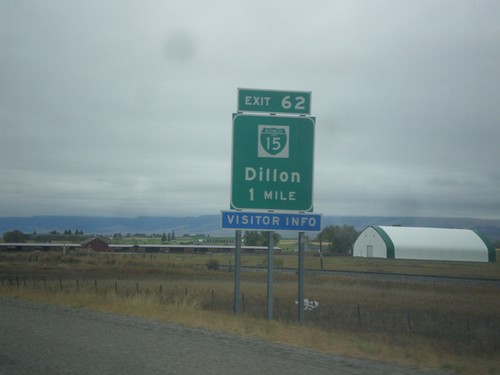
I-15 North - Exit 62
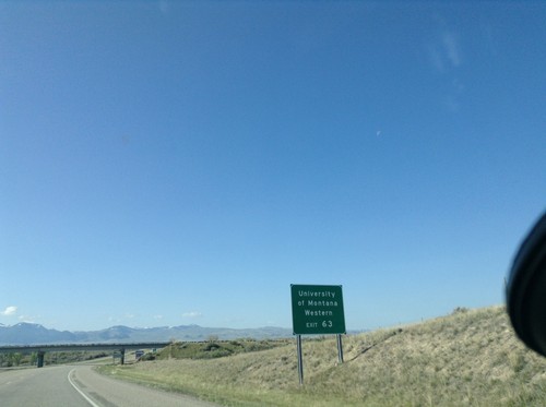
I-15 north approaching Exit 62 - BL-15/Dillon. Dillon is the county seat of Beaverhead County and is home to the University of Montana Western.
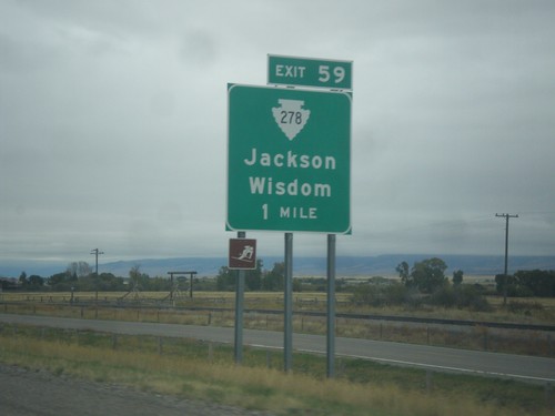
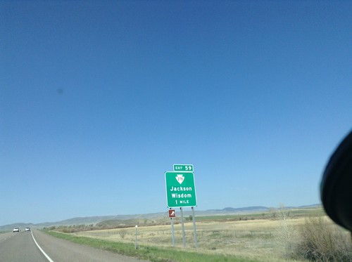
I-15 North - Exit 59
I-15 north approaching Exit 59 - MTS-278/Jackson/Wisdom. The ski area logo on the sign refers to the Maverick Mountain Ski Area.
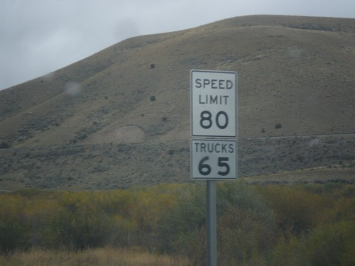
I-15 North - Speed Limit 80
Speed Limit 80 / Trucks 65 on I-15 north. Montana raised their speed limits to 80 MPH on rural interstates on October 1st 2015.
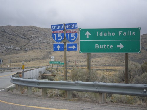
Frontage Road at I-15
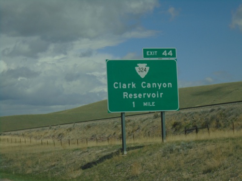
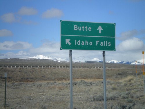
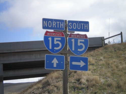
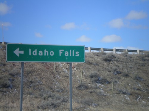
Frontage Road at I-15. Turn right for I-15 north to Butte; continue over freeway for I-15 south to Idaho Falls (ID). Continue straight for MTS-324.
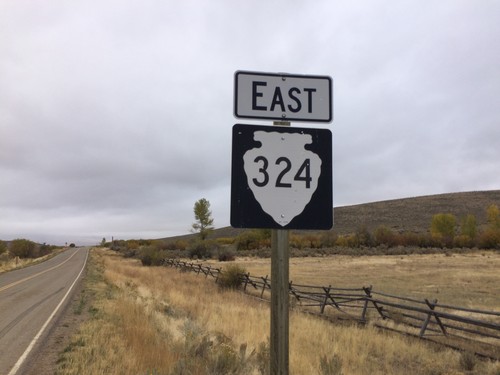
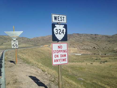
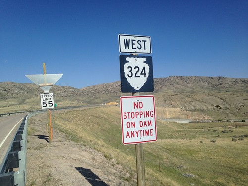
MTS-324 East - Beaverhead County
MTS-324 East - Beaverhead County. This is the first MTS-324 shield on the route eastbound. The first few miles of gravel road from the Idaho stateline did not have any shields, mileposts, or other markings. This sign is when the paved road starts.
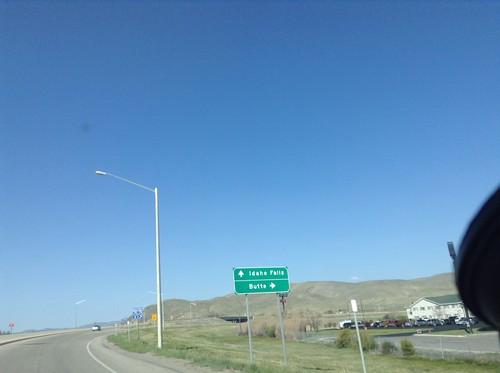
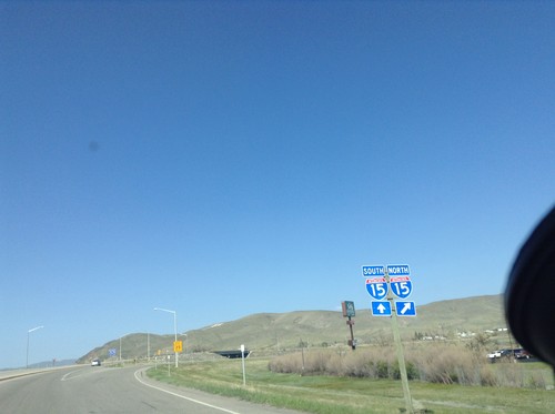
BL-15 North at I-15
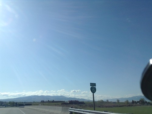
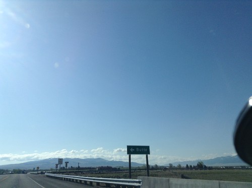
BL-15 North at I-15. Merge right for I-15 north to Butte; left for I-15 south to Idaho Falls. This is the northern end of the Dillon business loop.
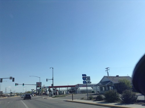
BL-15 North at MT-41 - Dillon
BL-15 North at MT-41 in Dillon. Turn left for BL-15 (To I-15); straight for MT-41.
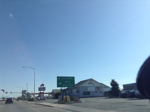
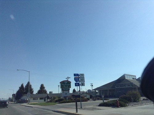
BL-15 North at MT-41
BL-15 north at MT-41 in Dillon. Turn left for I-15 to Butte and Idaho Falls. Continue straight for MT-41 north to Twin Bridges.
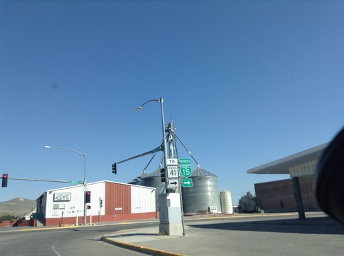
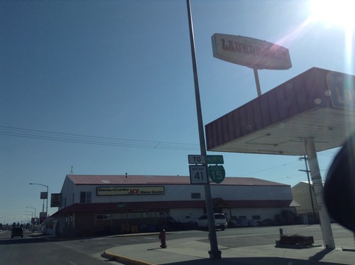
BL-15 North/To MT-41 - Dillon
BL-15 North/To MT-41 on Helena St. at Montana St. Turn left on Montana St. to continue north on BL-15.
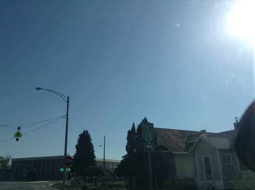
BL-15 North - Dillon
BL-15 North (Atlantic St.) at Helena St. Turn left on Helena St. to continue north on BL-15.
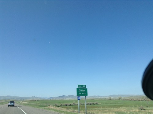
I-15 South - Exit 62
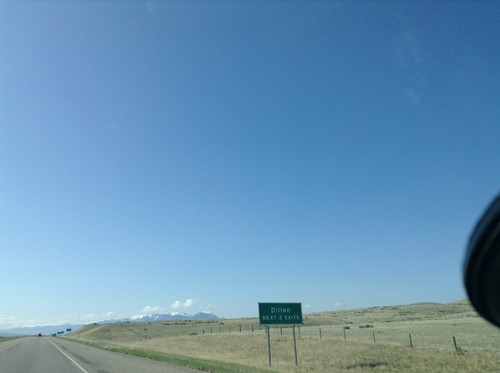
I-15 south approaching Exit 62 - Dillon. This is the southern end of the Dillon business loop.
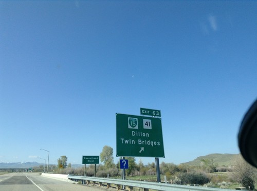
I-15 South - Exit 63
I-15 south at Exit 63 - BL-15/MT-41/Dillon/Twin Bridges. This is the northern end of the Dillon business loop.
Lima
Monida
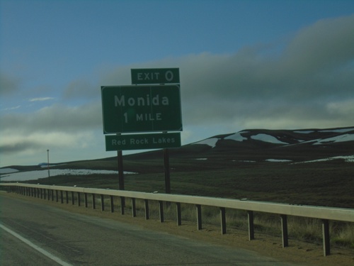
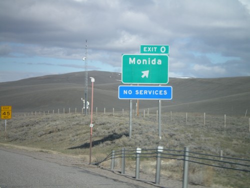
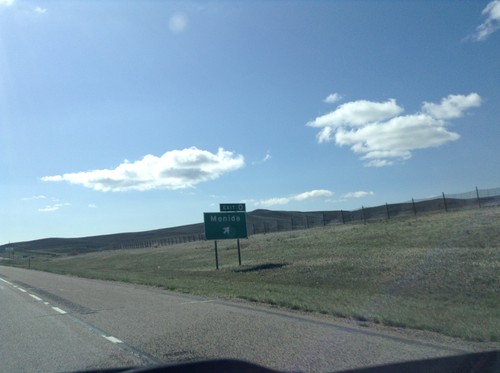
I-15 South - Exit 0
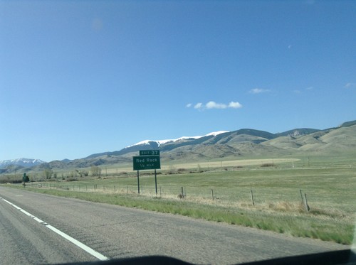
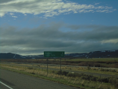
I-15 south approaching Exit 0 - Monida. Use Exit 0 for access to the Red Rock Lakes. This is the last exit in Montana on I-15 southbound. Monida is located at Monida Pass on the Continental Divide.
Twin Bridges
Wisdom
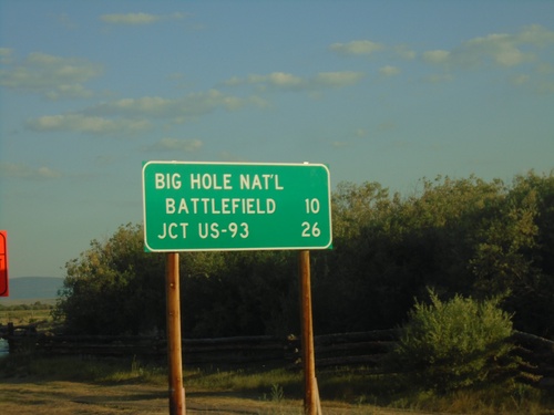
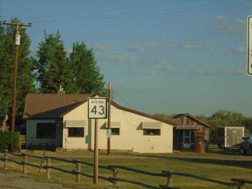
MT-43 West - Distance Marker
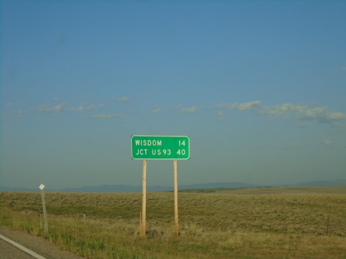
Distance marker on MT-43 west. Distance to Big Hole National Battlefield and Jct. US-93.
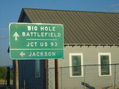
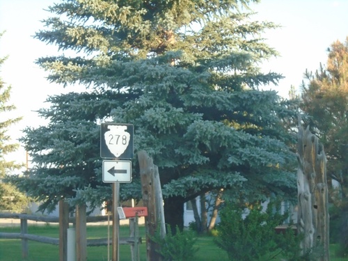
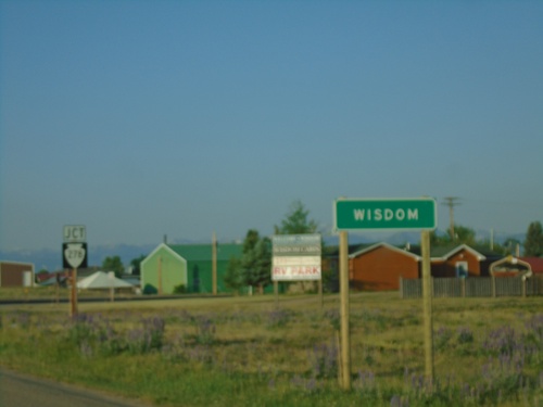
MT-43 West at MTS-278
MT-43 West at MTS-278 to Jackson. Continue west on MT-43 for Big Hole Battlefield and Jct. US-93.
