Javascript Is Required To Use This Page

Elko County, Nevada

Localities: | Arthur | Carlin | Elburz | Elko | Ely | Grouse Creek | Halleck | Holborn | Jackpot | Jiggs | Lamoille | Melandco | Montello | Moor | Mountain City | Oasis | Osino | Owyhee | River Ranch | Ruby Valley | Ryndon | South Fork | Spring Creek | Tuscarora | Welcome | Wells | West Wendover

I-80 West - Exit 333

I-80 West - Exit 333

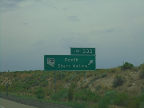
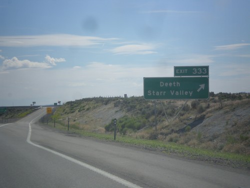
I-80 west at Exit 333 - NV-230/Deeth/Starr Valley.

I-80 West - Exit 333

I-80 West - Exit 333

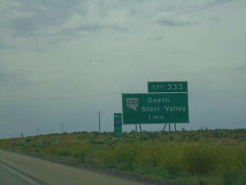
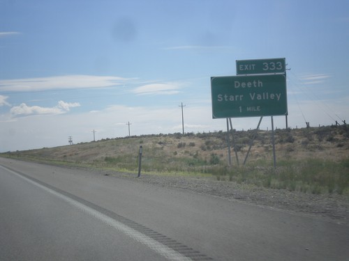
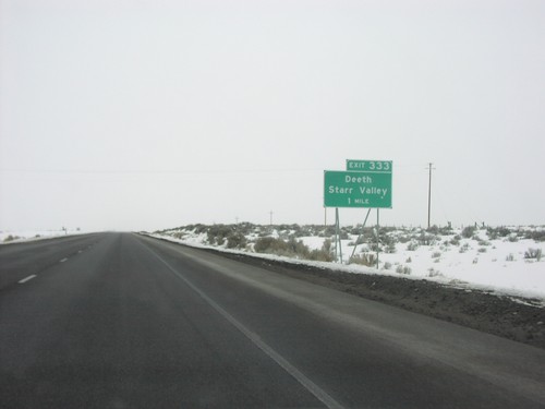
I-80 West approaching Exit 333 - NV-230/Deeth/Starr Valley.

Arthur

NV-229 North - Secret Pass

NV-229 North - Secret Pass

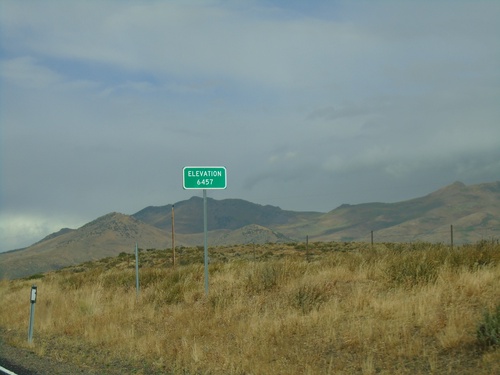
NV-229 North at Secret Pass - Elevation 6457 Feet.

Carlin

I-80 West - Exit 279 Offramp

I-80 West - Exit 279 Offramp

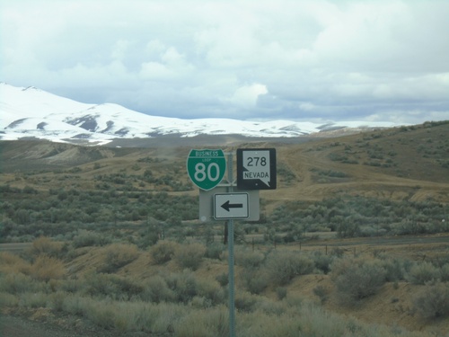
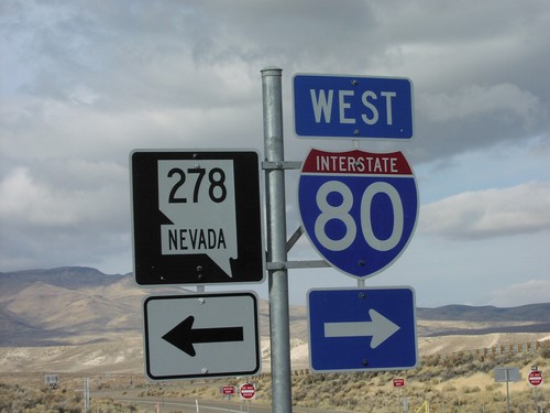
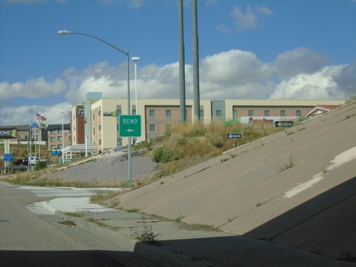
I-80 West - Exit 279 Offramp. Turn left for NV-278 South/BL-80 East.

I-80 West - Exit 280

I-80 West - Exit 280

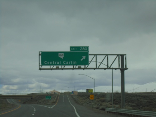
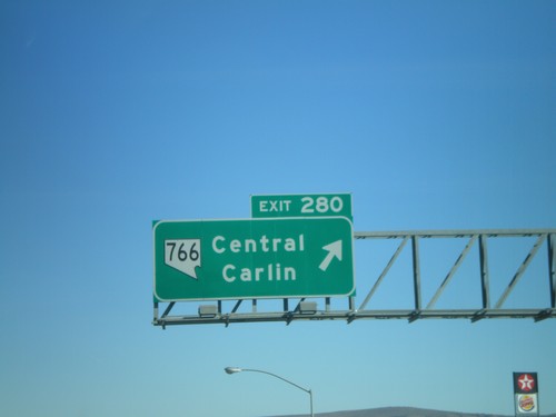
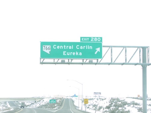
I-80 east at Exit 280 - NV-766/Central Carlin

I-80 East Exit 280 Offramp at NV-766

I-80 East Exit 280 Offramp at NV-766

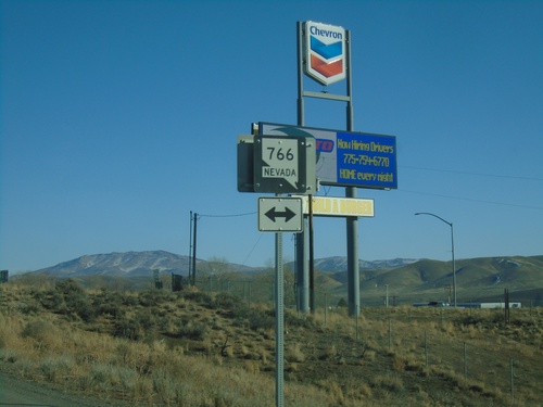
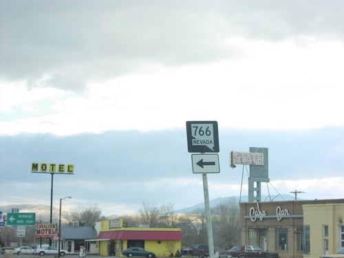
I-80 east Exit 280 offramp at NV-766. NV-766 heads north to Newmont Gold Mine, south into Carlin.
NV-766 North at I-80 West

NV-766 North at I-80 West

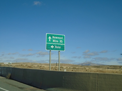
NV-766 North at I-80 West to Reno. Continue north for NV-766/Newmont Mine Road.
10th St. North at Chestnut St.

10th St. North at Chestnut St.

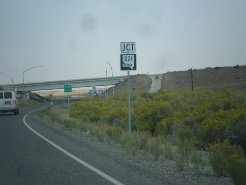
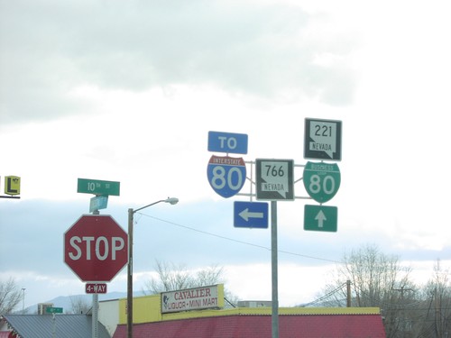
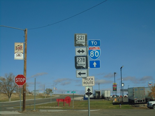
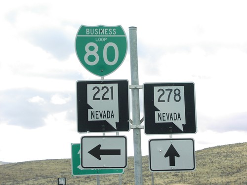
10th St. northbound at Chestnut St. (BL-80/NV-221) in Carlin. Use westbound Chestnut St. for NV-278. Continue north on 10th St. (NV-766) for I-80.
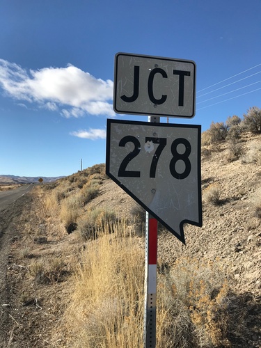
Bush St. West at NV-278

Bush St. West at NV-278

Bush St. West at NV-278 in Carlin. This is an unusual cutout style Nevada state highway shield, that looks more like the style on guide signs.
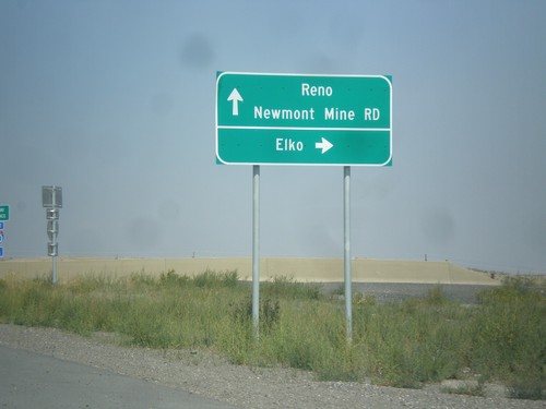
NV-766 North at I-80 (Exit 280)

NV-766 North at I-80 (Exit 280)

NV-766 north at I-80 (Exit 280). Use I-80 east for Elko; I-80 west for Reno; NV-766 north for Newmont Mine Road.
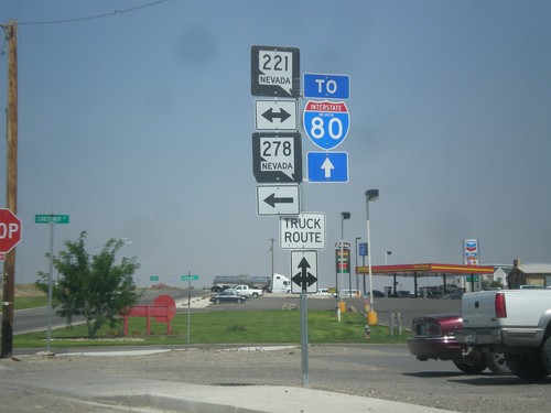
10th St. North at Chestnut St.

10th St. North at Chestnut St.

10th St. northbound at Chestnut St. (BL-80/NV-221) in Carlin. Use westbound Chestnut St. for NV-278. Continue north on 10th St. (NV-766) for I-80.
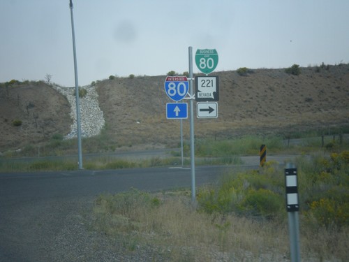
NV-278 North at BL-80/NV-221

NV-278 North at BL-80/NV-221

NV-278 north at BL-80/NV-221. Continue north on NV-278 for I-80 junction.
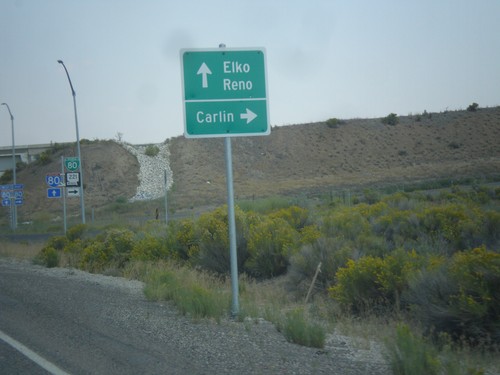
NV-278 North at BL-80/NV-221.  Approaching I-80.

NV-278 North at BL-80/NV-221. Approaching I-80.

NV-278 at BL-80/NV-221 east to Carlin. Immediately after this intersection is the onramp for I-80 to Reno and Elko. This interchange was recently upgraded from a partial diamond to a full diamond that now has an eastbound ramp onto the freeway.
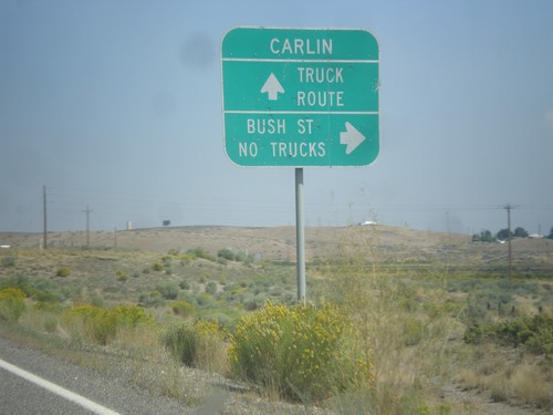
NV-278 North Approaching NV-221 (BL-80)

NV-278 North Approaching NV-221 (BL-80)

NV-278 North approaching NV-221 (BL-80) in Carlin.

NV-278 North - Bush St. Jct.

NV-278 North - Bush St. Jct.

NV-278 north at Bush St. Non truck traffic can enter Carlin on Bush Street. Truck traffic needs to continue north on NV-278 to the business loop.
NV-278 North - Elko County Line

NV-278 North - Elko County Line

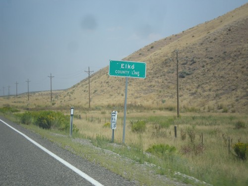
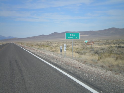
Elko County Line on NV-278 north.

I-80 East Exit 282

I-80 East Exit 282

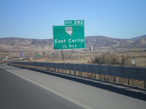
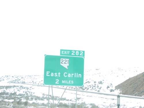
I-80 east approaching Exit 282 - NV-221/East Carlin

End NV-766 At NV-221 To NV-278

End NV-766 At NV-221 To NV-278

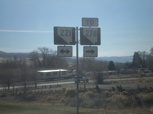
End NV-766 (10th St) at NV-221/To NV-228 (Chestnut St). These Nevada route shields do not contain the word Nevada.
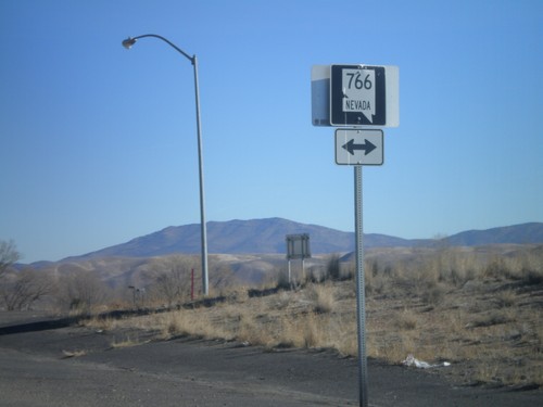
I-80 East Exit 280 Offramp at NV-766

I-80 East Exit 280 Offramp at NV-766

I-80 east Exit 280 offramp at NV-766. NV-766 heads north to Newmont Gold Mine, south into Carlin.
I-80 East Exit 280

I-80 East Exit 280

I-80 east at Exit 282 - NV-766/Central Carlin

I-80 East Exit 280

I-80 East Exit 280

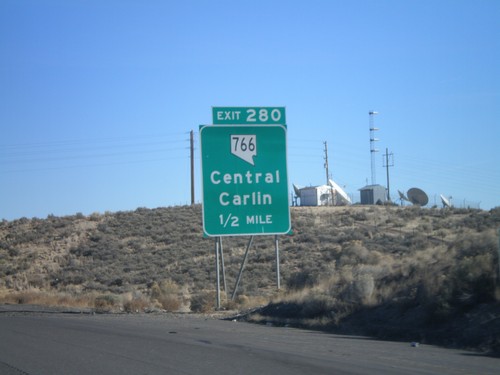
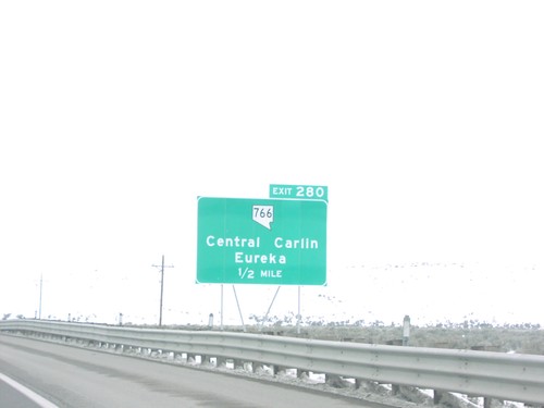
I-80 east approaching Exit 280 - NV-766/Central Carlin

I-80 East - Elko County Line

I-80 East - Elko County Line

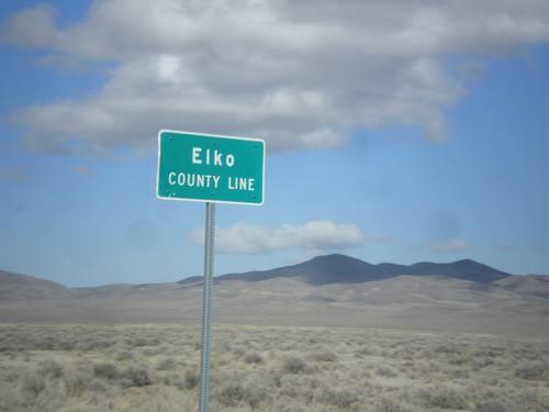
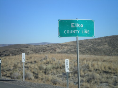
Elko County Line on I-80 east.

I-80 East Exit 279

I-80 East Exit 279

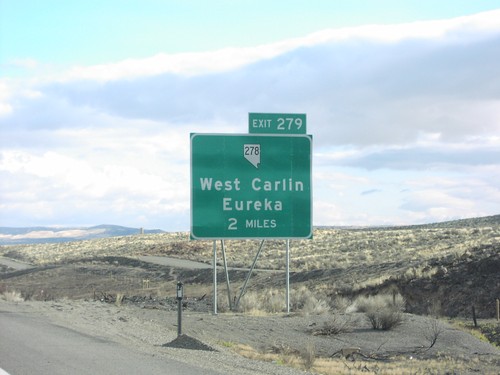
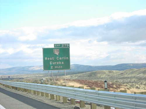
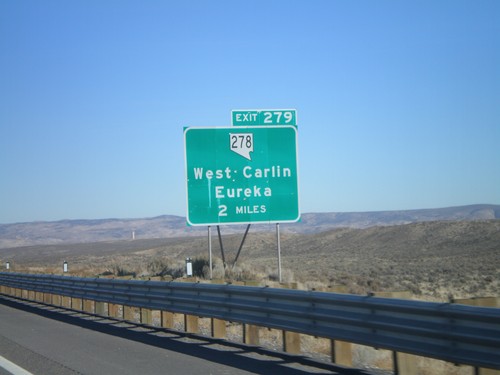
I-80 east approaching Exit 279 - NV-278/West Carlin/Eureka. NV-278 connects Carlin with Eureka in Central Nevada.
I-80 East - Carlin Exits

I-80 East - Carlin Exits

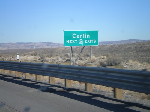
Carlin Next 2 Exits on I-80 East.

BL-80/NV-221 East at NV-776 North

BL-80/NV-221 East at NV-776 North

NV-221 east at NV-766 north to Newmont Gold Mine and I-80

BL-80/NV-221 East at NV-776 North

BL-80/NV-221 East at NV-776 North

NV-221 east at NV-776 north to I-80

I-80 East Exit 279

I-80 East Exit 279

I-80 east approaching Exit 279, NV-278 south

I-80 East Exit 279

I-80 East Exit 279

I-80 east approaching Exit 279, NV-278 to Eureka and West

I-80 East Exit 279 Offramp at NV-278

I-80 East Exit 279 Offramp at NV-278

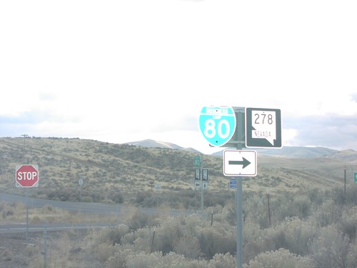
I-80 offramp at NV-278/BL-80 junction

NV-221/BL-80 West at NV-278/To I-80

NV-221/BL-80 West at NV-278/To I-80

Western end of NV-221 west at NV-278

NV-278 South at NV-221/BL-80

NV-278 South at NV-221/BL-80

NV-278 south at BL-80/NV-221 junction. Turn left for BL-80 East/NV-221 and Carlin.

NV-278 South at NV-221/BL-80

NV-278 South at NV-221/BL-80

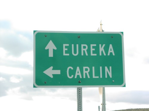
NV-278 south at NV-221 junction to Carlin and Eureka

I-80 West Exit 280

I-80 West Exit 280

I-80 east at Exit 280 - NV-766/Central Carlin/Eureka interchange in Carlin.

I-80 West Exit 280

I-80 West Exit 280

I-80 east approaching Exit 280 - NV-766/Central Carlin/Eureka interchange in Carlin.

I-80 West Exit 282

I-80 West Exit 282

I-80 east at Exit 282 - NV-221/East Carlin interchange in Carlin

Elburz

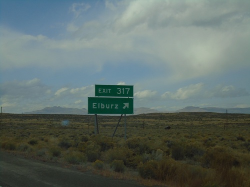
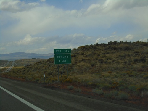
I-80 West - Exit 317

I-80 West - Exit 317

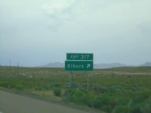
I-80 West approaching Exit 317 - Elburz

I-80 West - Exit 317

I-80 West - Exit 317

I-80 west at Exit 317 - Elburz

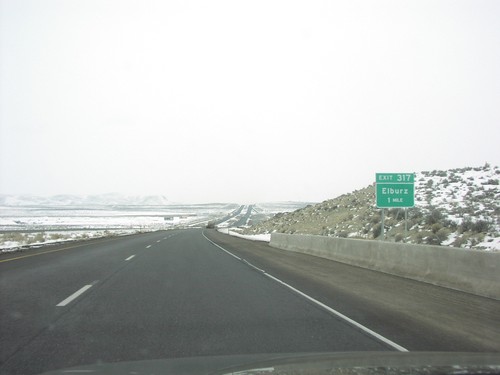
I-80 West Exit 317

I-80 West Exit 317

I-80 West approaching Exit 317 - Elburz

I-80 West Exit 317

I-80 West Exit 317

I-80 West approaching Exit 317 - Elburz

Elko

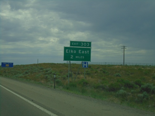
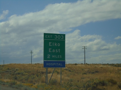
I-80 West - Exit 303

I-80 West - Exit 303

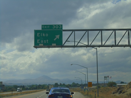
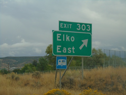
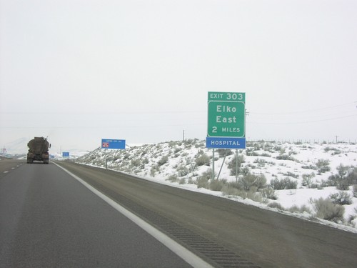
I-80 west approaching Exit 303 - Elko East.

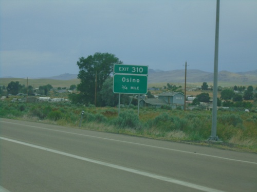
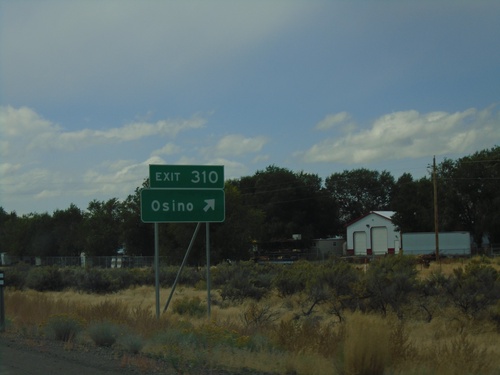
I-80 West - Exit 310

I-80 West - Exit 310

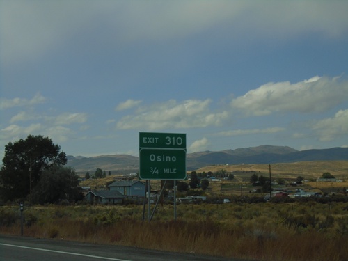
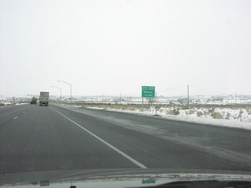
I-80 West approaching Exit 310 - Osino.

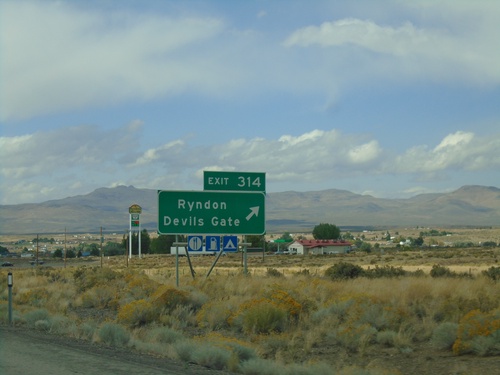
I-80 West - Exit 314

I-80 West - Exit 314

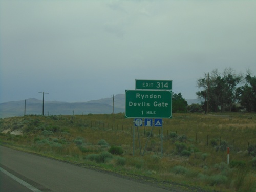
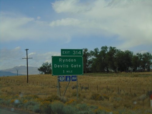
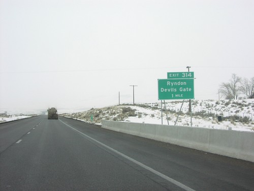
I-80 west approaching Exit 314 - Ryndon/Devils Gate

I-80 West - Exit 321

I-80 West - Exit 321

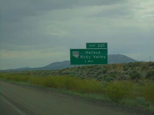
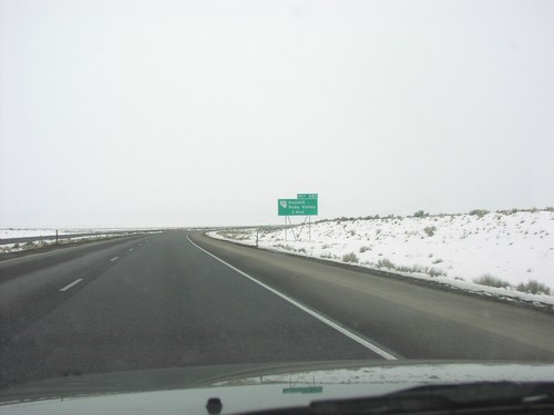
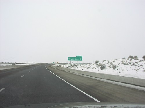
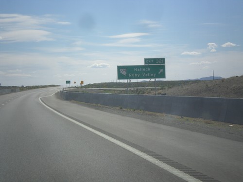
I-80 West approaching Exit 321 - NV-229/Halleck/Ruby Valley.

I-80 East - Exit 298

I-80 East - Exit 298

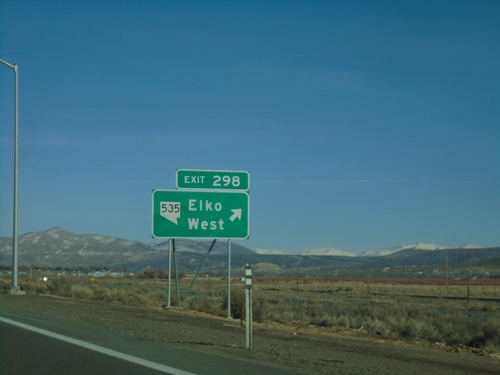
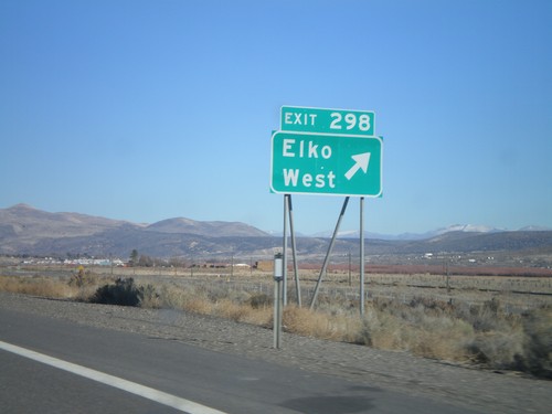
I-80 east at Exit 298 - NV-535/Elko West. The NV-535 shield was added to the Exit 298 freeway junction in 2021. Prior to that the text read Elko West without any route markers.
BL-80/NV-535 West Approaching NV-225

BL-80/NV-535 West Approaching NV-225

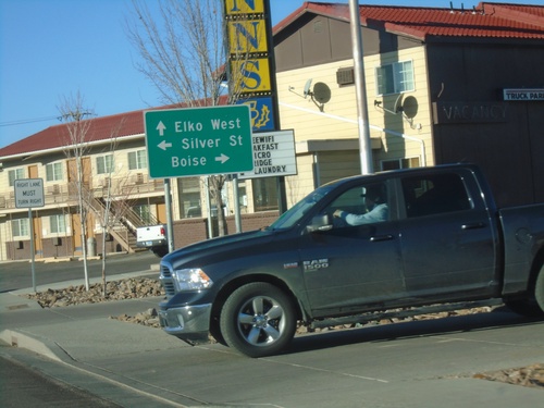
BL-80/NV-535 West (Idaho Street) approaching NV-225 North (Mountain City Highway and Silver St.). Use NV-225 north (Mountain City Highway) to Boise (Idaho). Continue west on BL-80/NV-535 to Elko West. Turn left for Silver St.
BL-80/NV-535 West Approaching NV-225/To I-80

BL-80/NV-535 West Approaching NV-225/To I-80

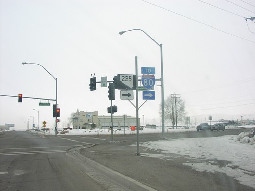
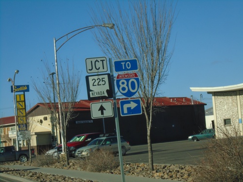
BL-80/NV-535 (Idaho St.) approaching NV-225/ To I-80 (Mountain City Highway) in Elko. The sign shows NV-225 straight ahead, but it should have a right arrow.
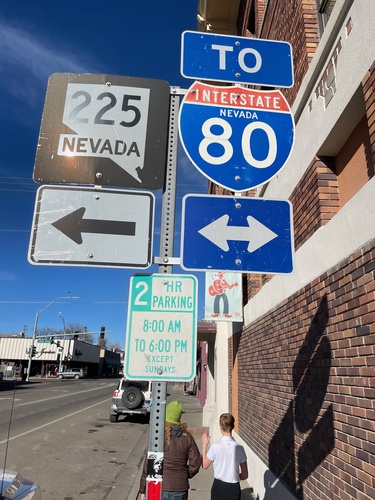
BL-80/NV-535 West - Idaho St.

BL-80/NV-535 West - Idaho St.

BL-80/NV-535 West/To I-80 on Idaho St. in Elko.

NV-227 North at BL-80/NV-535 (Idaho St.)

NV-227 North at BL-80/NV-535 (Idaho St.)

NV-227 North (5th St.) at BL-80/NV-535 (Idaho St.) in Elko. Use BL-80/NV-535 West for NV-225; use BL-80 for I-80.
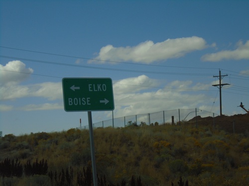
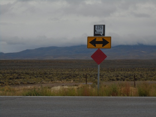
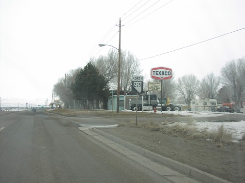
NV-225 North Approaching NV-226

NV-225 North Approaching NV-226

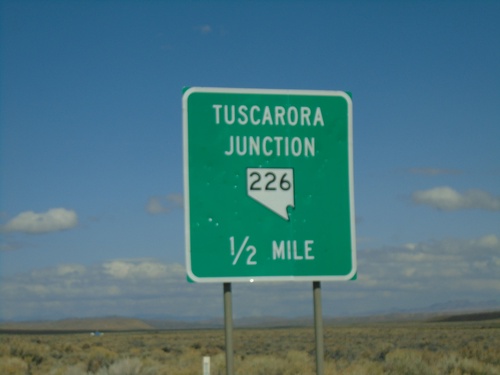
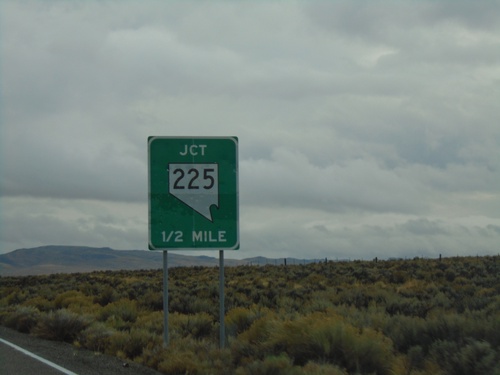
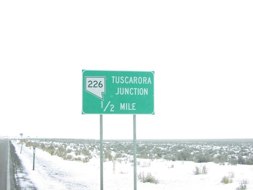
NV-225 North approaching NV-226 - Tuscarora Junction.

I-80 West - Exit 301 Offramp

I-80 West - Exit 301 Offramp

I-80 West Exit 301 offramp at NV-225. Turn left for NV-225 North to Boise (Idaho); left for NV-225 South to Elko.
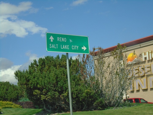
BL-80 East at I-80 West

BL-80 East at I-80 West

BL-80 East at I-80 West (Exit 303). Turn left for I-80 west to Reno.

BL-80 East at I-80

BL-80 East at I-80

BL-80 East at I-80 (Exit 303) in Elko.

BL-80 East at I-80 (Exit 303)

BL-80 East at I-80 (Exit 303)

BL-80 East at I-80 (Exit 303) in Elko. Turn right for I-80 east to Salt Lake City (UT); continue under freeway for I-80 west to Reno.
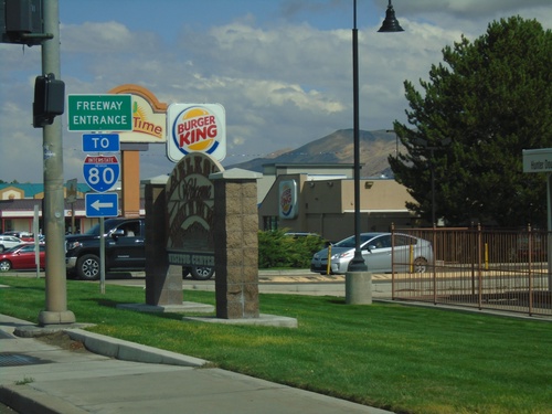
BL-80 East (Idaho St.) at Jennings Way to I-80

BL-80 East (Idaho St.) at Jennings Way to I-80

BL-80 East (Idaho St.) at Jennings Way to I-80. Turn left for Jennings Way and I-80 onramps.
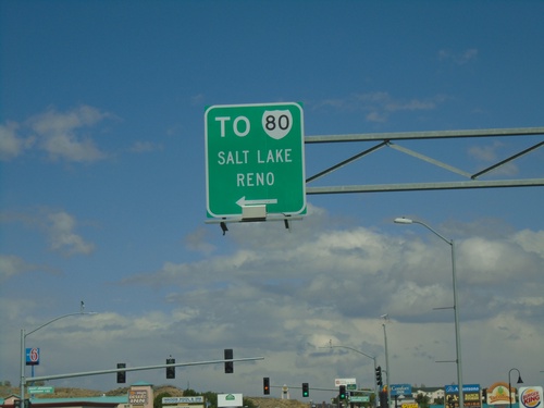
BL-80 East (Idaho St.) Approaching I-80

BL-80 East (Idaho St.) Approaching I-80

BL-80 East (Idaho St.) approaching I-80 to Salt Lake (UT) and Reno.
I-80 West Exit 303 Offramp

I-80 West Exit 303 Offramp

I-80 West Exit 303 Offramp at BL-80. Turn left for BL-80 (Jennings Way).

I-80 West - Exit 303

I-80 West - Exit 303

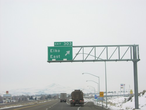
I-80 west at Exit 303 - Elko East.

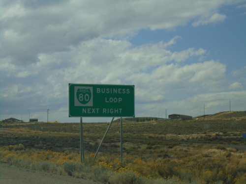
I-80 West - Business Loop

I-80 West - Business Loop

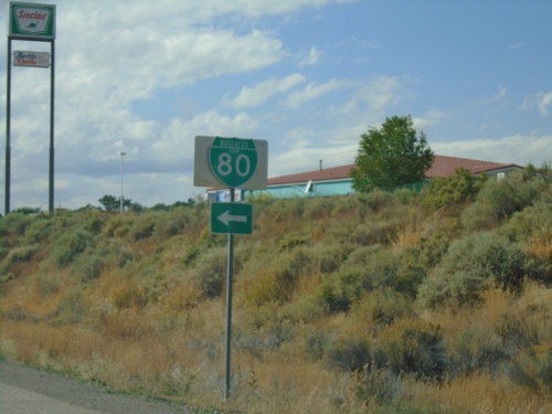
I-80 west approaching Exit 303. Use Exit 303 for BL-80 Business Loop.

I-80 West - Exit 303

I-80 West - Exit 303

I-80 west approaching Exit 303 - Elko East.

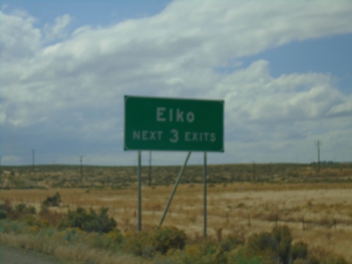
I-80 West - Elko Exits

I-80 West - Elko Exits

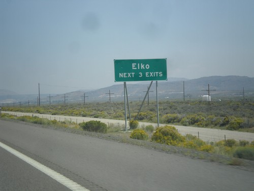
Elko - Next 3 Exits on I-80 west.

I-80 West - Exit 310

I-80 West - Exit 310

I-80 west at Exit 310 - Osino.

I-80 West - Exit 310

I-80 West - Exit 310

I-80 west approaching Exit 310 - Osino.

I-80 West - Check Station

I-80 West - Check Station

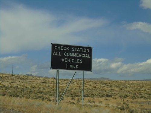
I-80 west approaching Check Station. All Commercial Vehicles Must Exit.

I-80 West - Exit 314

I-80 West - Exit 314

I-80 west approaching Exit 314 - Ryndon/Devils Gate

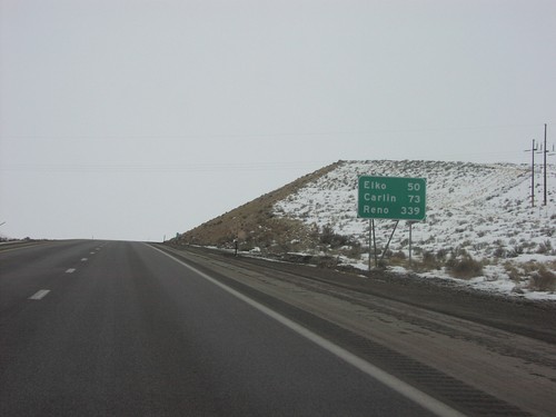
I-80 West - Distance Marker

I-80 West - Distance Marker

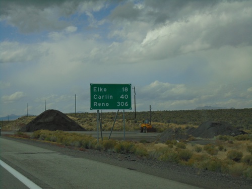
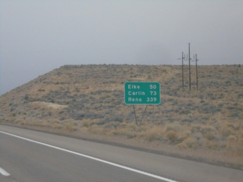
Distance marker on I-80 west. Distance to Elko, Carlin, and Reno.

End NV-229 North at I-80 West

End NV-229 North at I-80 West

End NV-229 North at I-80 West (Exit 321).

NV-227 South - Distance Marker

NV-227 South - Distance Marker

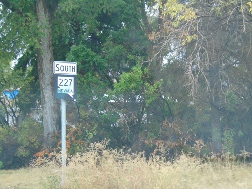
Distance marker on NV-227 south. Distance to South Fork State Park (via NV-228), Lamoille, and Ruby Lake NWR (via NV-228).
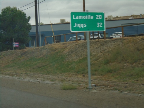
NV-227 South - Distance Marker

NV-227 South - Distance Marker

Distance marker on NV-227. Distance to Lamoille and Jiggs (via NV-228).
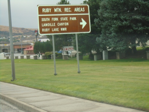
NV-227 South - Elko

NV-227 South - Elko

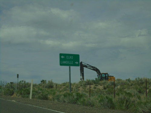
NV-227 (Lamoille Highway) in Elko.

BL-80 West (Jennings Way) at Idaho St.

BL-80 West (Jennings Way) at Idaho St.

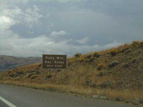
BL-80 West (Jennings Way) at Idaho St. Turn right to continue west on BL-80 and for Ruby Mountain Recreation Areas: Lamoille Canyon, South Fork State Park, and Ruby Valley NWR.
I-80 East - Exit 303

I-80 East - Exit 303

I-80 east at Exit 303 - Elko East.

I-80 East - Exit 303

I-80 East - Exit 303

I-80 east approaching Exit 303. Use Exit 303 for Ruby Mountain Recreation Areas.
I-80 East - Exit 303

I-80 East - Exit 303

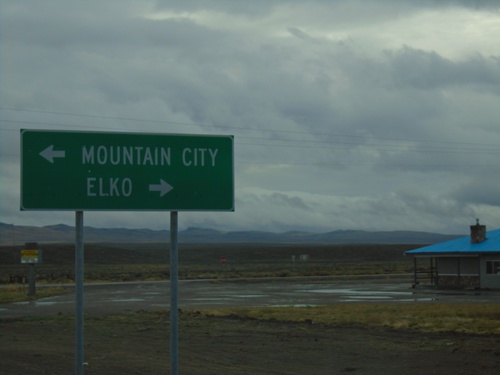
I-80 east approaching Exit 303 - Elko East.

NV-225 South at I-80 East

NV-225 South at I-80 East

NV-225 South at I-80 East (Exit 301).

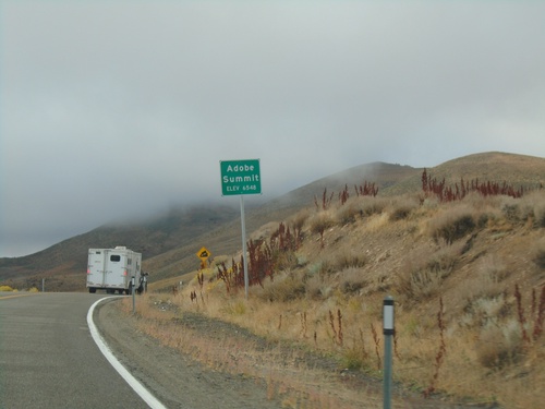
NV-225 South - Adobe Summit

NV-225 South - Adobe Summit

Adobe Summit - Elevation 6548 Feet on NV-225 south.

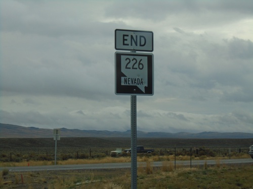
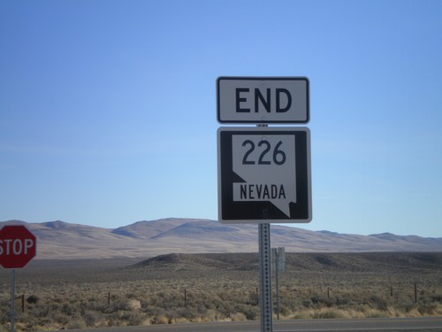
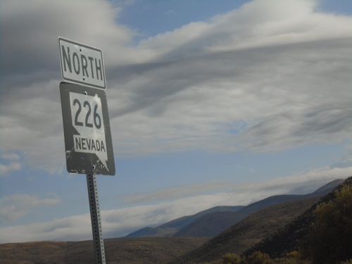
End NV-226 South at NV-225

End NV-226 South at NV-225

End NV-226 South at NV-225 - Tuscarora Junction.

End NV-226 at NV-225

End NV-226 at NV-225

End NV-226 east at NV-225 at Tuscarora Junction.

End NV-226 South at NV-225

End NV-226 South at NV-225

End NV-226 South at NV-225. Turn left on NV-225 north for Mountain City; left on NV-225 south for Elko.
NV-226 East Approaching NV-225

NV-226 East Approaching NV-225

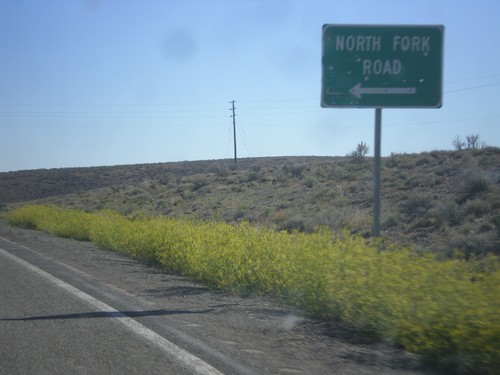
NV-226 East approaching NV-225 at Tuscarora Junction.

I-80 East - Elko Exits

I-80 East - Elko Exits

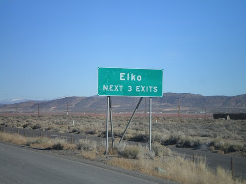
I-80 East - Elko Next 3 Exits.

NV-225 North - Gold Creek Road

NV-225 North - Gold Creek Road

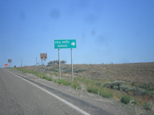
NV-225 north at Gold Creek Road to Gold Creek and Jarbidge.

NV-225 North - North Fork Road

NV-225 North - North Fork Road

NV-225 north at North Fork Road junction. North Fork refers to the North Fork of the Humboldt River.
NV-225 North - Charleston/Jarbidge Jct.

NV-225 North - Charleston/Jarbidge Jct.

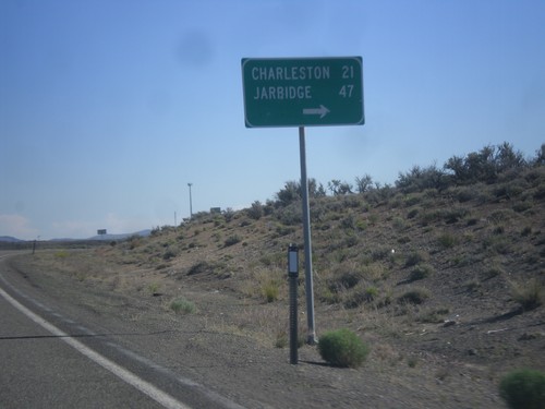
NV-225 North at junction with road to Charleston and Jarbidge.
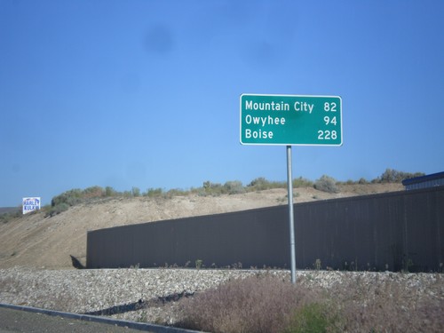
NV-225 North - Distance Marker

NV-225 North - Distance Marker

Distance Marker on NV-225 North to Mountain City, Owyhee, and Boise (Idaho).
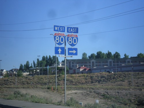
NV-225 North at I-80 West

NV-225 North at I-80 West

NV-225 north at I-80 West (Exit 301).

NV-225 North at I-80

NV-225 North at I-80

NV-225 north at I-80. Turn right for I-80 east; continue over freeway for I-80 west.
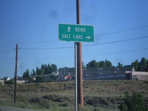
NV-225 North at I-80 East

NV-225 North at I-80 East

NV-225 north at I-80 east (Exit 301) to Salt Lake. Continue over freeway for I-80 west to Reno.
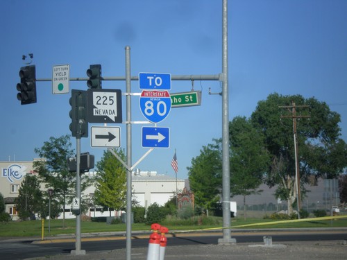
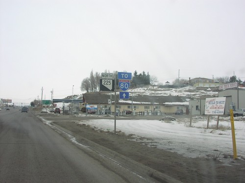
BL-80 West at NV-225 (To I-80)

BL-80 West at NV-225 (To I-80)

BL-80 West at NV-225 North. Continue west on BL-80 (Idaho St.) for I-80.
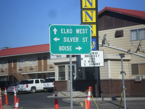
BL-80 West at NV-225

BL-80 West at NV-225

BL-80 West (Idaho Street) at NV-225 North. Use NV-225 north to Boise. Continue west on BL-80 to Elko West. Turn left for Silver St.
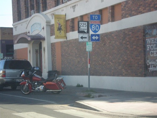
BL-80 West To NV-225/I-80

BL-80 West To NV-225/I-80

BL-80 West (Idaho St.), to NV-225 and I-80.

End NV-227 at BL-80 (Idaho St.)

End NV-227 at BL-80 (Idaho St.)

End NV-227 west at BL-80 (Idaho St.) in downtown Elko. Use Idaho St. for access to I-80. Use Idaho St. west for access to NV-225.
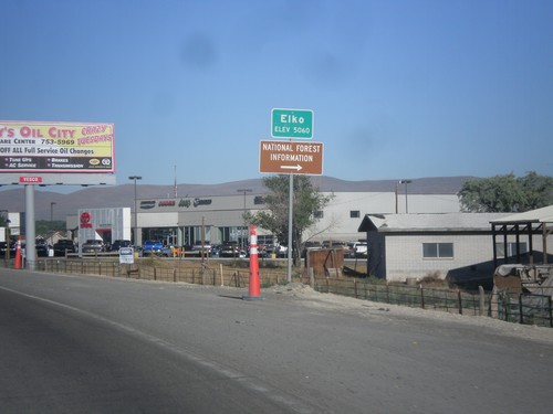
NV-227 West - Entering Elko

NV-227 West - Entering Elko

Entering Elko on NV-227 West. Elevation 5,060.

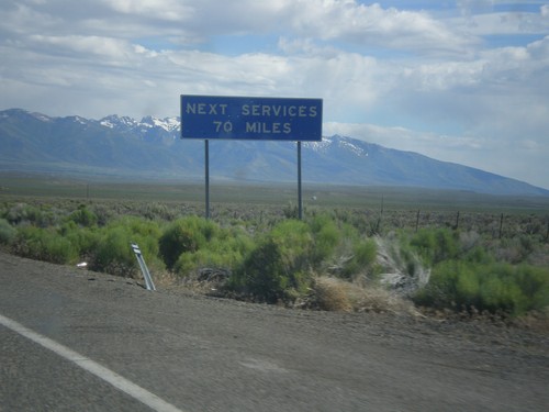
NV-229 South - Next Services

NV-229 South - Next Services

Next Services 70 Miles on NV-229 south.

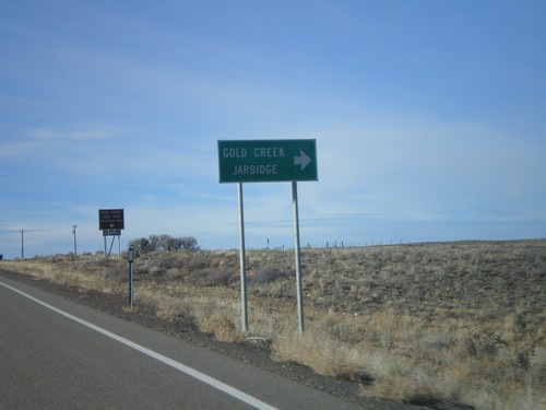
NV-225 North At Gold Creek/Jarbidge Jct

NV-225 North At Gold Creek/Jarbidge Jct

NV-225 north at the Gold Creek/Jarbidge Junction. Jarbidge, NV is one of the most isolated towns in the lower 48.
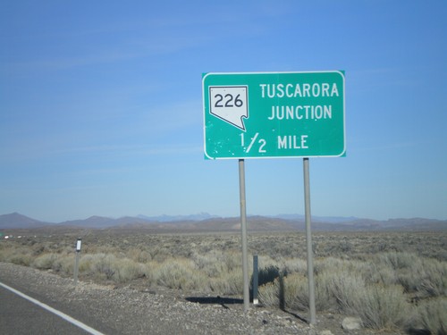
End NV-226 at NV-225

End NV-226 at NV-225

End NV-226 east at NV-225. NV-225 goes north to Owyhee, and south to Elko.

End NV-226 at NV-225

End NV-226 at NV-225

End NV-226 east at NV-225 at Tuscarora Junction.

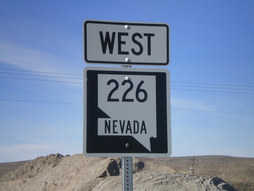
NV-226 West at Tuscarora Junction.

NV-226 West at Tuscarora Junction.

Begin NV-226 west at Tuscarora Junction.

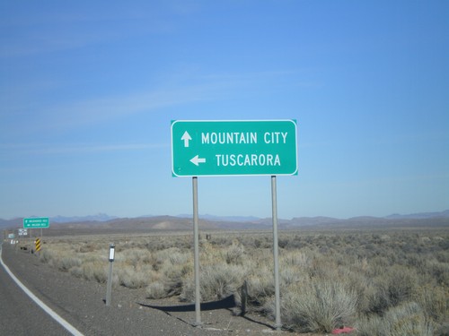
NV-225 North Approaching NV-226

NV-225 North Approaching NV-226

NV-225 north to Mountain City approaching NV-226 west to Tuscarora.

NV-225 North Approaching Tuscarora Jct.

NV-225 North Approaching Tuscarora Jct.

NV-225 north approaching NV-226 at Tuscarora Junction. Nevada often gives names to its rural highway junctions.
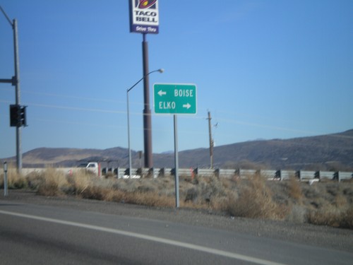
NV-225 North at I-80 West Exit 301

NV-225 North at I-80 West Exit 301

NV-225 north at I-80 West/Exit 301 onramp.

I-80 East Exit 301 Offramp at NV-225

I-80 East Exit 301 Offramp at NV-225

I-80 east Exit 301 offramp at NV-225 north to Boise (ID) and south to Elko.
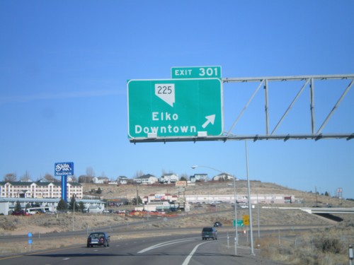
I-80 East Exit 301

I-80 East Exit 301

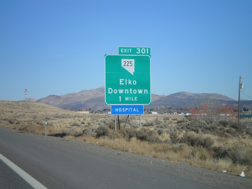
I-80 east at Exit 301 - NV-225/Elko/Downtown. NV-225 connects Elko with Mountain Home, Idaho via ID-51.
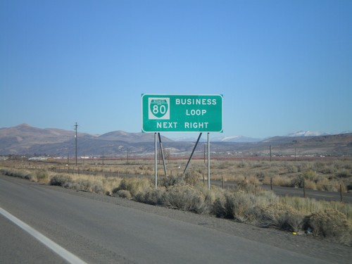
I-80 East Exit 301

I-80 East Exit 301

I-80 east approaching Exit 301 - NV-225/Elko/Downtown.

I-80 East Exit 298

I-80 East Exit 298

I-80 east at Exit 298 - Elko West.

I-80 East Exit 298 - Business Loop

I-80 East Exit 298 - Business Loop

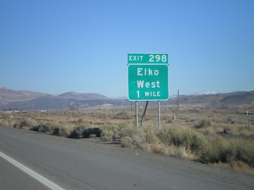
I-80 east approaching Exit 298. Exit 298 is the western end of BL-80 Business Loop through Elko. All Nevada exits with a Business Loop have this signage.
I-80 East Exit 298

I-80 East Exit 298

I-80 east approaching Exit 298 - Elko West

I-80 East - Elko Exits

I-80 East - Elko Exits

I-80 East - Elko Next 3 Exits.

I-80 East Exit 292

I-80 East Exit 292

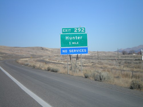
I-80 east approaching Exit 292 - Hunter

BL-80 East at I-80 in Elko

BL-80 East at I-80 in Elko

Eastern end of Elko I-80 business loop at I-80 junction to Reno and Salt Lake
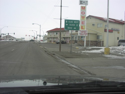
I-80 West Exit 292

I-80 West Exit 292

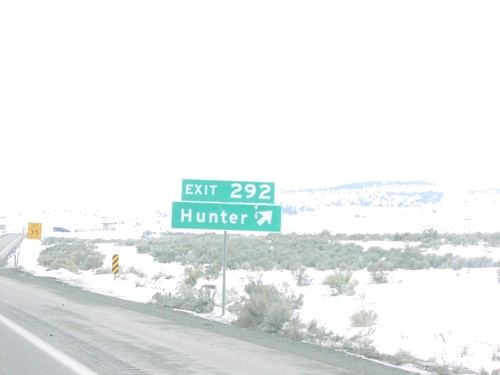
I-80 east at Exit 292 - Hunter interchange in Elko County.

BL-80 West - Elko

BL-80 West - Elko

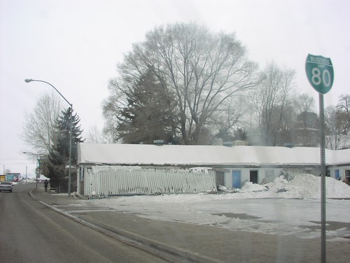
BL-80 Shield on Idaho Street

BL-80 West - Elko City Offices

BL-80 West - Elko City Offices

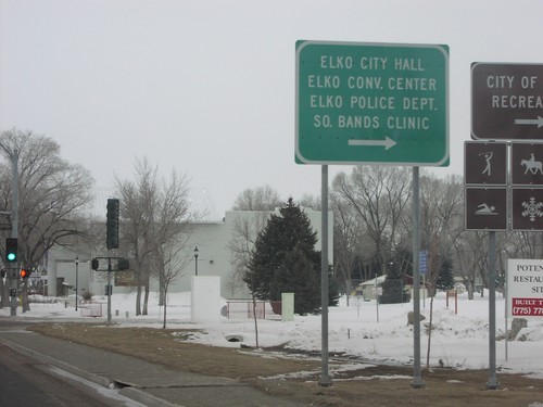
Sign for Elko City Offices on BL-80 West

BL-80 West at Idaho St. - Elko

BL-80 West at Idaho St. - Elko

BL-80 Shield at approaching Idaho Street

BL-80 West at NV-225

BL-80 West at NV-225

BL-80 West (Idaho Street) at NV-225 North. Use NV-225 north to Boise. Continue west on BL-80 to Elko West. Turn left for Silver St.
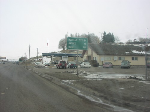
BL-80 West at NV-225 (To I-80)

BL-80 West at NV-225 (To I-80)

BL-80 West at NV-225 North. Continue west on BL-80 to access I-80.

BL-80 West at NV-227

BL-80 West at NV-227

BL-80 West at NV-227 Junction

BL-80 West To NV-225/I-80

BL-80 West To NV-225/I-80

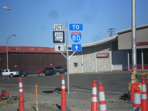
NV-225 North, To I-80

I-80 West Exit 303

I-80 West Exit 303

I-80 West Approaching Elko West Exit

I-80 West Exit 303

I-80 West Exit 303

I-80 West At Elko West Exit

I-80 West Exit 310

I-80 West Exit 310

I-80 West at Exit 310

I-80 West Exit 321

I-80 West Exit 321

I-80 West Approaching NV-229, Exit 321

I-80 West Exit 321

I-80 West Exit 321

I-80 West at NV-229, Exit 321

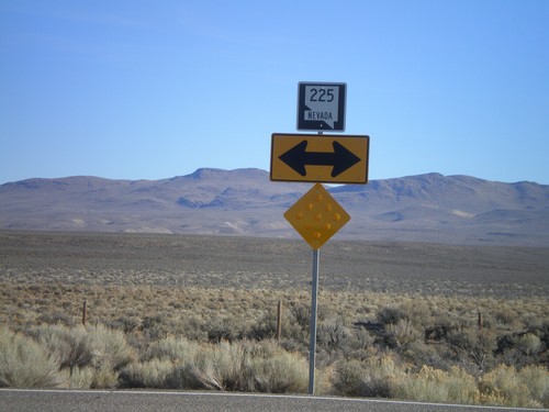
NV-225 North

NV-225 North

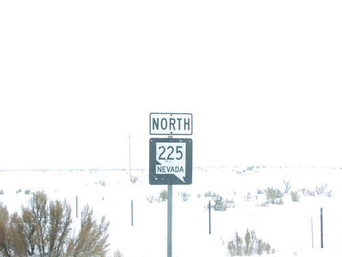
NV-225 North Shield

NV-225 North - Distance Marker

NV-225 North - Distance Marker

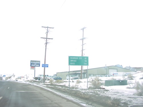
Distance Marker on NV-225 North to Mountain City, Owyhee and Boise, in Elko

NV-225 North - Distance Marker

NV-225 North - Distance Marker

Distance Marker on NV-225 North to Mountain City, Owyhee, and Boise, in Elko

NV-225 North at NV-226 - Tuscarora Jct.

NV-225 North at NV-226 - Tuscarora Jct.

NV-226/Tuscarora Junction on NV-225 North

NV-225 North in Elko

NV-225 North in Elko

NV-225 North Shield Without Nevada Text

NV-225 North To I-80

NV-225 North To I-80

NV-225 to I-80

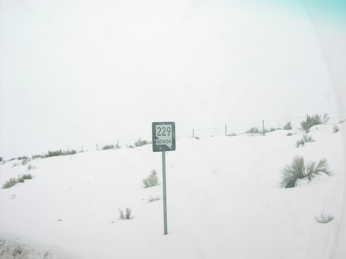
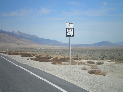
NV-229 South of I-80 at Exit 321

NV-229 South of I-80 at Exit 321

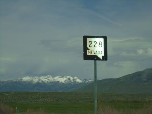
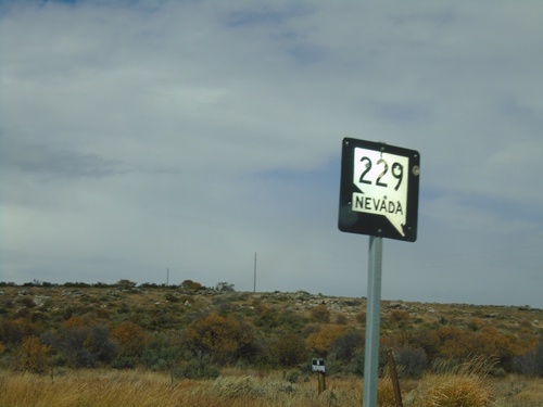
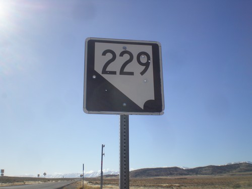
NV-229 Shield on NV-229 South

Ely

US-93 North - Elko County

US-93 North - Elko County

Entering Elko County on US-93 north. Elko County is the fourth largest county by area in the lower 48 states.

US-93 North - Elko County

US-93 North - Elko County

Entering Elko County on US-93 north. Elko County is the fourth largest county by area in the lower 48 states.

US-93 North - Elko County

US-93 North - Elko County

Entering Elko County on US-93 north. Elko County is the fourth largest county by area in the lower 48 states.

Grouse Creek

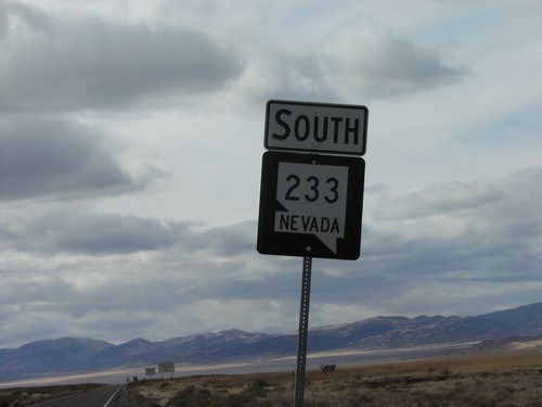
Begin NV-233 South at Utah-Nevada Line

Begin NV-233 South at Utah-Nevada Line

Beginning of NV-233 south at the Utah border

Halleck

End NV-229 North at I-80 (Exit 321)

End NV-229 North at I-80 (Exit 321)

End NV-229 North at I-80 (Exit 321). Use I-80 east for Wells; I-80 west for Elko.

NV-229 North - Starr Valley Junction

NV-229 North - Starr Valley Junction

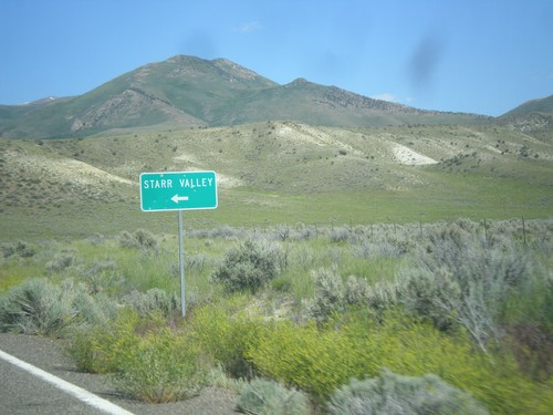
NV-229 north at Starr Valley junction

NV-229 South - Starr Valley Junction

NV-229 South - Starr Valley Junction

NV-229 South at Starr Valley junction.

I-80 West - Exit 321

I-80 West - Exit 321

I-80 west at Exit 321 - NV-229/Halleck/Ruby Valley.

NV-229 at I-80 Jct.

NV-229 at I-80 Jct.

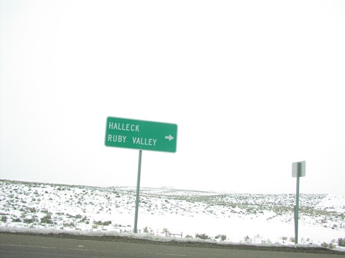
Sign for Halleck/Ruby Valley at I-80/NV-229 Junction

Holborn

I-80 West - Exit 365

I-80 West - Exit 365

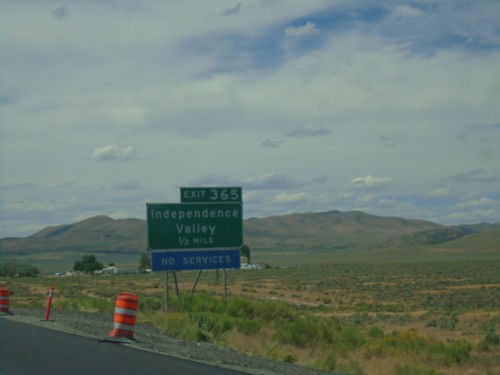
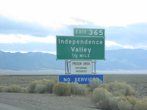
I-80 west approaching Exit 365 - Independence Valley.

Jackpot

US-93 South - Welcome To Nevada

US-93 South - Welcome To Nevada

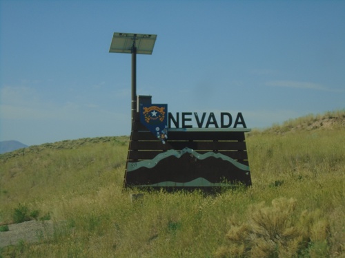
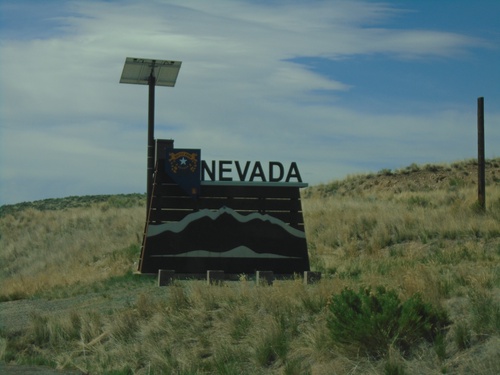
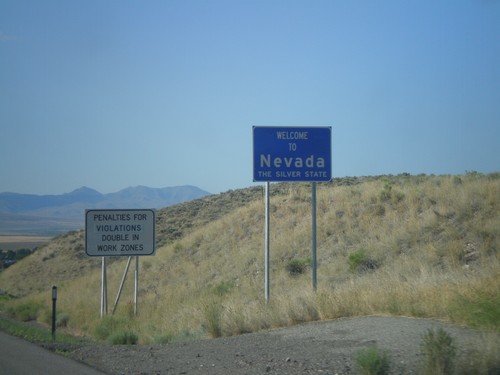
Welcome to Nevada on US-93 south, at the Idaho-Nevada border.

US-93 South - Welcome To Nevada

US-93 South - Welcome To Nevada

Welcome to Nevada on US-93 south, at the Idaho-Nevada border.

US-93 North - Entering Jackpot and Mountain Time

US-93 North - Entering Jackpot and Mountain Time

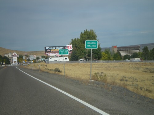
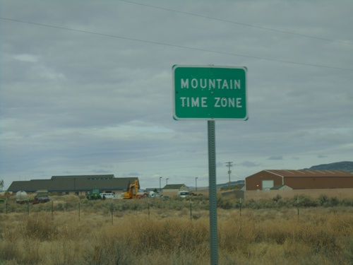
Entering Mountain Time Zone and Jackpot on US-93 north. Most of Nevada is on Pacific Time, except for a few of the border towns, bordering states in Mountain Time. Jackpot is on the border with Idaho.
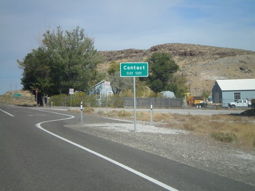
US-93 North - Contact

US-93 North - Contact

Entering Contact on US-93 north. The only thing in Contact is a Nevada DOT Highway Maintenance Station.
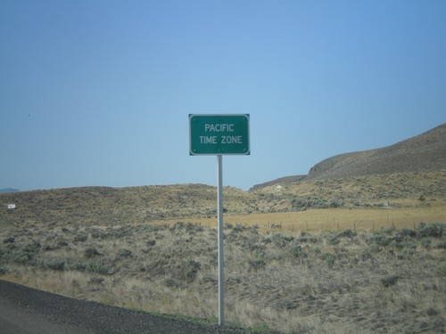
US-93 South - Pacific Time

US-93 South - Pacific Time

Entering Pacific Time on US-93 south. Almost all of Nevada is on Pacific Time, except for a few of the border towns, Jackpot included.

US-93 South - Jackpot

US-93 South - Jackpot

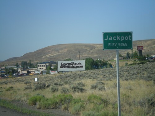
Entering Jackpot on US-93 south. Jackpot lies right on the Idaho-Nevada border, and is home to several casinos.

US-93 South - Welcome To Nevada

US-93 South - Welcome To Nevada

Welcome to Nevada on US-93 south, at the Idaho-Nevada border.

Jiggs

Begin NV-228 Northbound

Begin NV-228 Northbound

Begin NV-228 Northbound in Jiggs

Harrison Pass Road South at County Road

Harrison Pass Road South at County Road

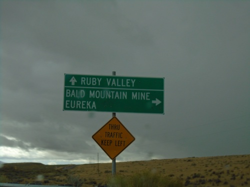
Harrison Pass Road South at County Road to Eureka and Bald Mountain Mine. Continue east for Ruby Valley.

Harrison Pass Road at Railroad Pass Jct.

Harrison Pass Road at Railroad Pass Jct.

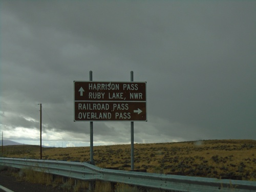
Harrison Pass Road at county road to Railroad Pass and Overland Pass. Use Harrison Pass Road for Harrison Pass and Ruby Valley NWR.

Lamoille

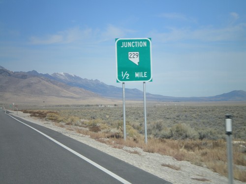
NV-229 North at Lamoille Jct.

NV-229 North at Lamoille Jct.

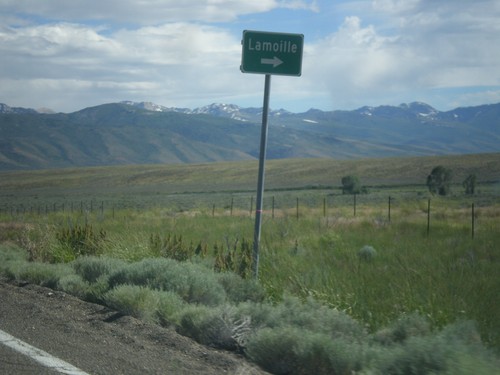
NV-229 North at Fort Halleck Road to Lamoille

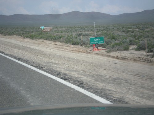
NV-229 - Elko County

NV-229 - Elko County

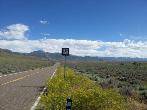
NV-229 shield in Elko County, beginning climb towards Secret Pass.

NV-227 West - Lamoille Canyon Jct.

NV-227 West - Lamoille Canyon Jct.

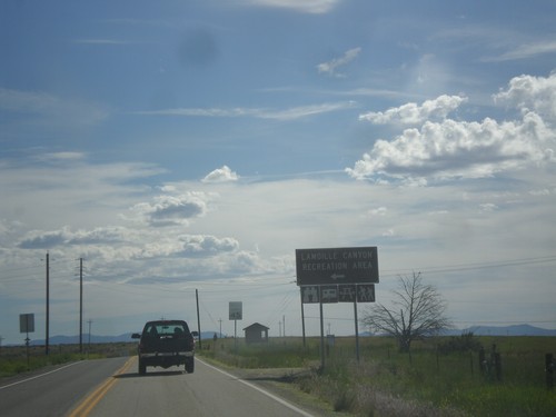
NV-227 west at Lamoille Canyon Recreation Area junction.

Lamoille - Elevation 5,890

Lamoille - Elevation 5,890

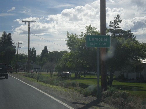
Entering Lamoille on NV-227 south.

Begin NV-227 West

Begin NV-227 West

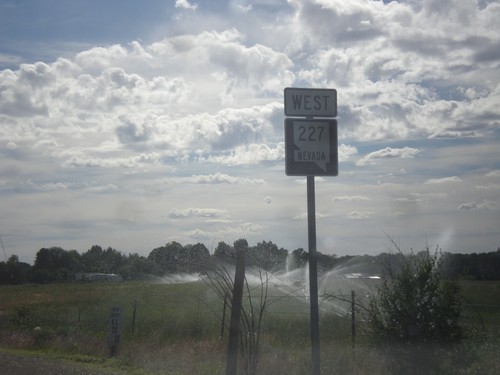
Begin NV-227 west in Lamoille.

Melandco

US-93 North - H-D Summit

US-93 North - H-D Summit

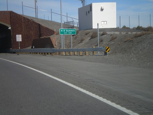
US-93 north at H-D Summit - Elevation 6,280. The overpass in the background is a recently installed wildlife crossing over the highway. H-D Summit is the northern end of the Great Basin on US-93. North of here all water flows into the Snake River system.

Montello

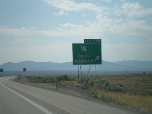
I-80 West - Exit 378

I-80 West - Exit 378

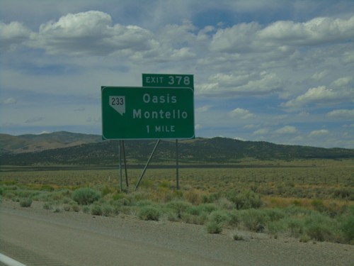
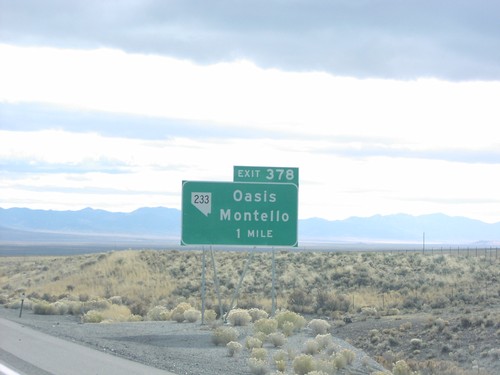
I-80 west approaching Exit 378 - NV-233/Oasis/Montello.

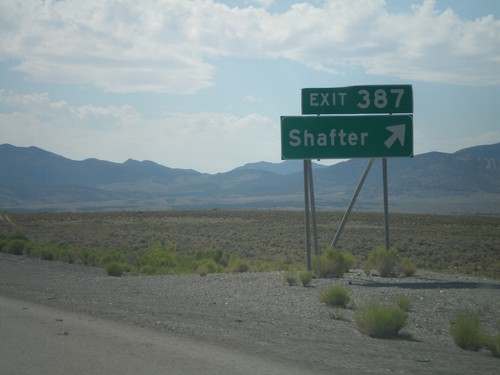
I-80 West - Exit 387

I-80 West - Exit 387

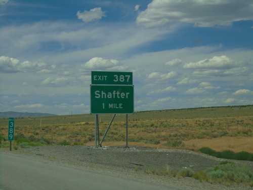
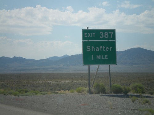
I-80 west approaching Exit 387 - Shafter. Taken at Milemarker 389.

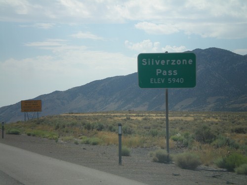
I-80 West - Silver Zone Pass

I-80 West - Silver Zone Pass

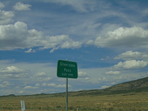
I-80 west at Silver Zone Pass. Elevation 5940 Feet.

I-80 East - Silverzone Pass

I-80 East - Silverzone Pass

I-80 east at Silverzone Pass - Elevation 5,940 Feet.

I-80 East - Exit 387

I-80 East - Exit 387

I-80 east at Exit 387 - Shafter.

Moor

I-80 West (Exit 360) Onramp

I-80 West (Exit 360) Onramp

I-80 West Onramp at Exit 360 in Elko County.

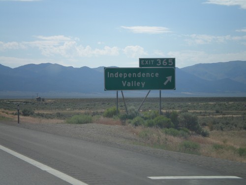
I-80 East - Exit 365

I-80 East - Exit 365

I-80 east at Exit 365 - Independence Valley.

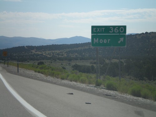
I-80 East Exit 360

I-80 East Exit 360

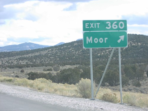
I-80 east at Exit 360, Moor

I-80 East Exit 365

I-80 East Exit 365

I-80 east at Exit 365, Independence Valle

Mountain City

NV-225 South - Trail Creek Road

NV-225 South - Trail Creek Road

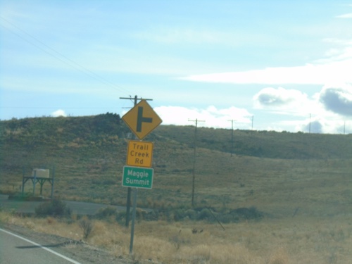
NV-225 south at Trail Creek Road to Maggie Summit

NV-225 South - Distance Marker

NV-225 South - Distance Marker

Distance marker on NV-225 south. Distance to Elko, Carlin (via I-80), and Eureka (via I-80 and NV-278).
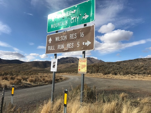
End NV-226 North

End NV-226 North

End NV-226 North in Elko County. Turn left for Owyhee and Wilson Reservoir; turn right for Mountain City and Bull Run Reservoir. Either road is unpaved.
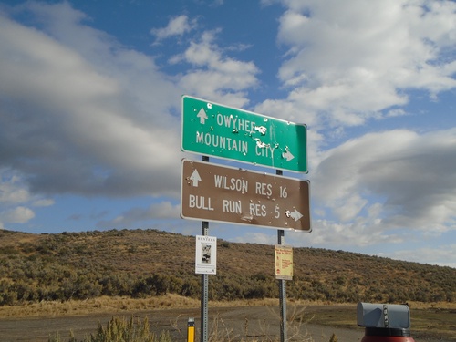
End NV-226 North

End NV-226 North

End NV-226 North in Elko County. Turn left for Owyhee and Wilson Reservoir; turn right for Mountain City and Bull Run Reservoir. Either road is unpaved.

NV-225 North - Entering Duck Valley Reservation

NV-225 North - Entering Duck Valley Reservation

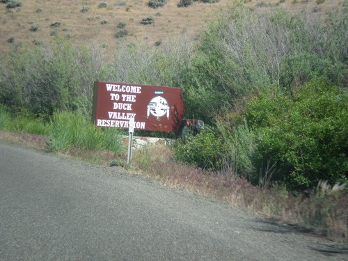
Entering the Duck Valley Indian Reservation on NV-225 north. The Duck Valley Indian Reservation is located on the Idaho-Nevada border and is home to the Shoshone-Paiute Tribe.

NV-225 North - Mountain City

NV-225 North - Mountain City

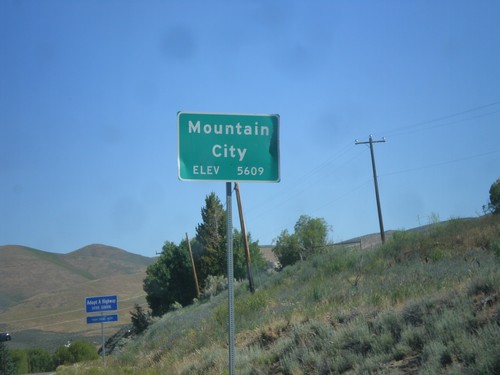
Entering Mountain City on NV-225 North. Elevation 5,609 Feet.

NV-225 North - Maggie Summit Road

NV-225 North - Maggie Summit Road

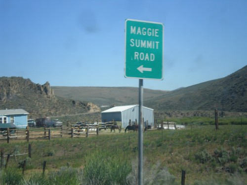
NV-225 north at Maggie Summit Road.

Oasis

End NV-233 South at I-80 (Exit 378)

End NV-233 South at I-80 (Exit 378)

End NV-233 south at I-80 (Exit 378). Use I-80 west for Wells; I-80 east for Wendover.

I-80 East - Exit 387

I-80 East - Exit 387

I-80 east approaching Exit 387 - Shafter.

I-80 East - Exit 376

I-80 East - Exit 376

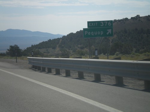
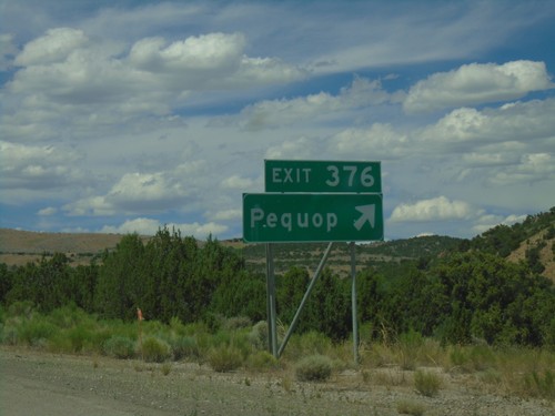
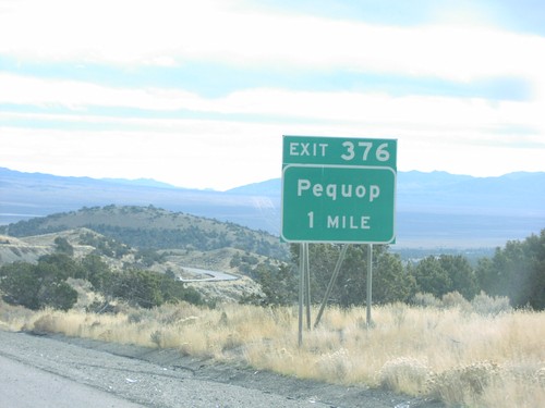
I-80 east at Exit 376 - Pequop

End NV-233 South at I-80

End NV-233 South at I-80

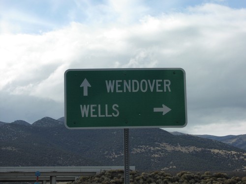
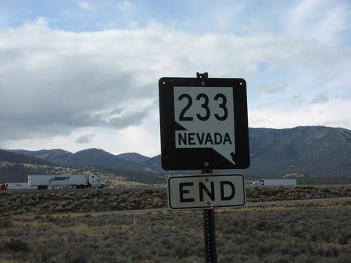
End NV-233 south at I-80 to Wells and Wendover

End NV-233 South at I-80

End NV-233 South at I-80

End NV-233 south at I-80

I-80/US-93 Alt. Onramp Exit 376

I-80/US-93 Alt. Onramp Exit 376

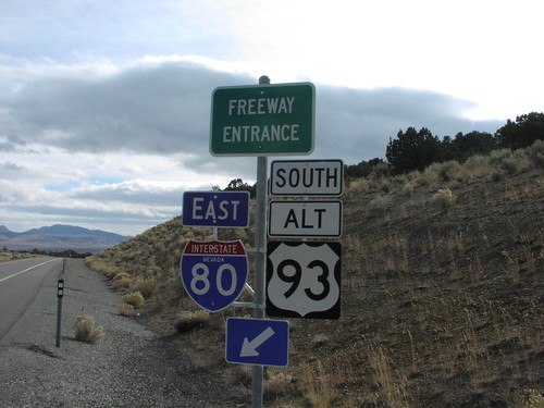
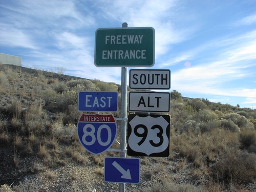
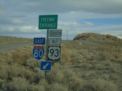
I-80/Alt US-93 freeway entrance at Exit 376, Pequop

NV-233 North

NV-233 North

NV-233 north at beginning of NV-233

NV-233 North - Distance Marker

NV-233 North - Distance Marker

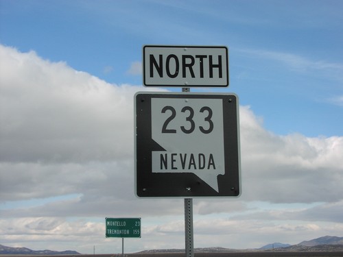
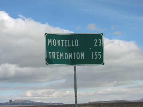
NV-233 north distance marker to Montello and Tremonton

I-80 at NV-233 (Exit 378)

I-80 at NV-233 (Exit 378)

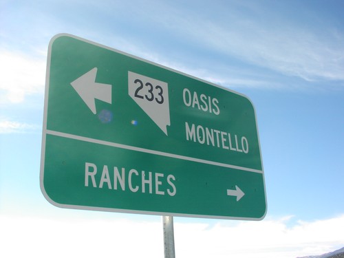
I-80 East Exit 378 offramp at NV-233. Use NV-233 east to Oasis and Montello. Turn right for Ranches.

I-80 Exit 378 Onramp

I-80 Exit 378 Onramp

NV-233 west at I-80 East/Alt. US-93 South Onramp (Exit 378).

Osino

I-80 West Exit 314

I-80 West Exit 314

I-80 West at Exit 314

Owyhee

NV-225 North - Mountain Time

NV-225 North - Mountain Time

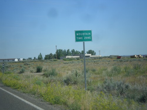
Entering Mountain Time Zone on NV-225 north, approaching the Idaho state line. The official time zone boundary is the Nevada-Idaho state line, but the towns of Owyhee and Mountain City, NV both observe Mountain Time.
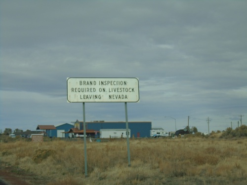
NV-225 North - Brand Inspection Required

NV-225 North - Brand Inspection Required

Brand Inspection Required on Livestock Leaving Nevada on NV-225 north.
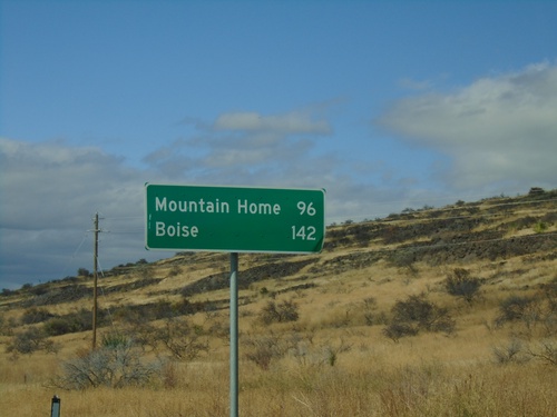
NV-225 North - Distance Marker

NV-225 North - Distance Marker

Distance marker on NV-225 north. Distance to Mountain Home (Idaho) and Boise (Idaho). This is the last distance marker northbound on NV-225 in Nevada.
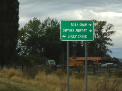
Owyhee Road at Airport Road - Duck Valley Indian Reservation

Owyhee Road at Airport Road - Duck Valley Indian Reservation

Owyhee Road at Airport Road in the Duck Valley Indian Reservation. Merge left to continue on Owyhee Road towards Sheep Creek (Reservoir). Use Airport Road for Owyhee Airport and Billy Shaw (Reservoir).
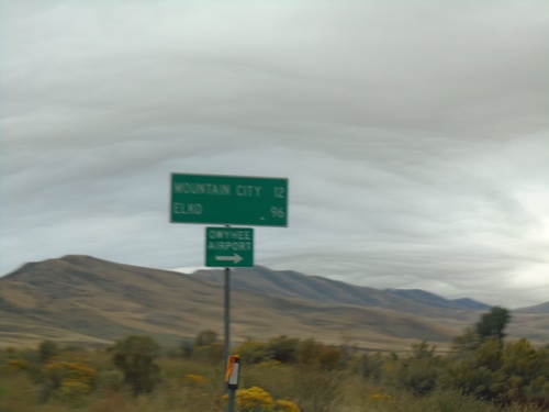
NV-225 South - Owyhee Road

NV-225 South - Owyhee Road

NV-225 south at Owyhee Road to Owyhee Airport. Continue on NV-225 for Mountain City and Elko.

NV-225 North - Mountain Time

NV-225 North - Mountain Time

Entering Mountain Time Zone on NV-225 north, approaching the Idaho state line. The official time zone boundary is the Nevada-Idaho state line, but the towns of Owyhee and Mountain City, NV both observe Mountain Time.

NV-225 North - Entering Owyhee

NV-225 North - Entering Owyhee

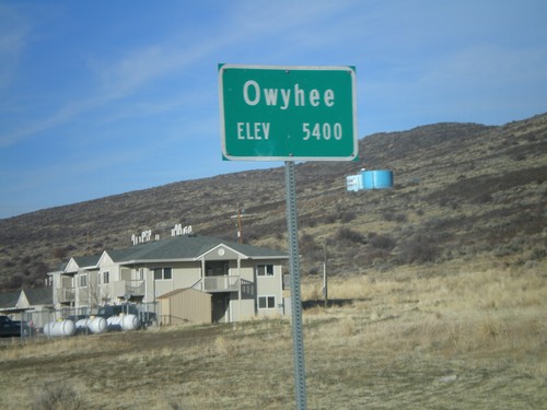
Entering Owyhee, Nevada on NV-225 north. Elevation 5400 feet. Owyhee is on the Duck Valley Indian Reservation.

River Ranch

I-80 West - Exit 328

I-80 West - Exit 328

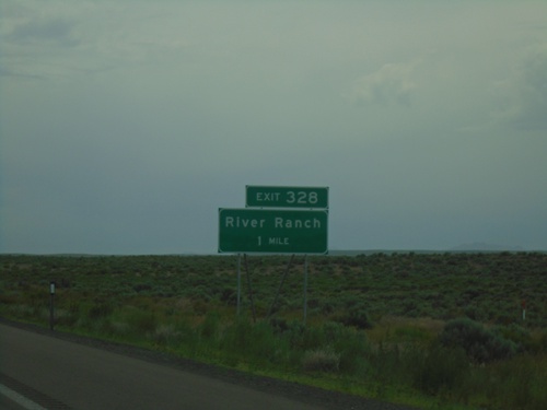
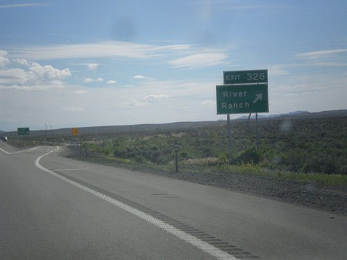
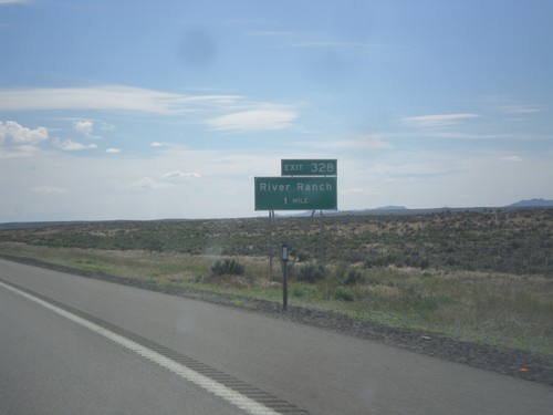
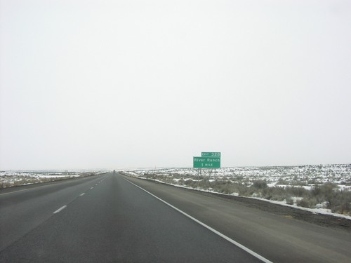
I-80 West approaching Exit 328 - River Ranch

I-80 West - Exit 328

I-80 West - Exit 328

I-80 west approaching Exit 328 - River Ranch.

I-80 West - Exit 328

I-80 West - Exit 328

I-80 West approaching Exit 328 - River Ranch

I-80 West - Exit 328

I-80 West - Exit 328

I-80 West approaching Exit 328 - River Ranch

Ruby Valley

NV-229 North - Elko County

NV-229 North - Elko County

NV-229 North in Elko County

NV-229 North - North Ruby Valley Jct.

NV-229 North - North Ruby Valley Jct.

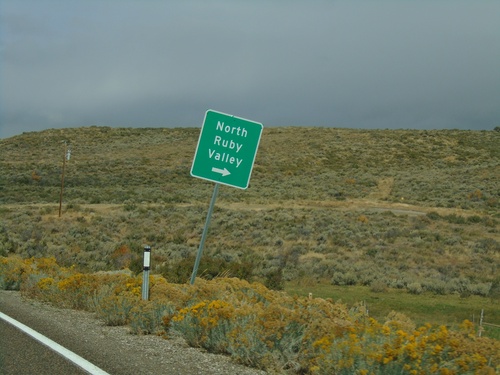
NV-229 North at North Ruby Valley junction.

NV-229 South at NV-767

NV-229 South at NV-767

NV-229 South at NV-767 in Elko County. Turn left to continue south on NV-229 and for US-93.

End NV-767 North at NV-229

End NV-767 North at NV-229

End NV-767 North at NV-229. Turn right for NV-229 South to Ely (via US-93 South) and Wells (via US-93 North). Continue straight for NV-229 North to Elko (via I-80 West).

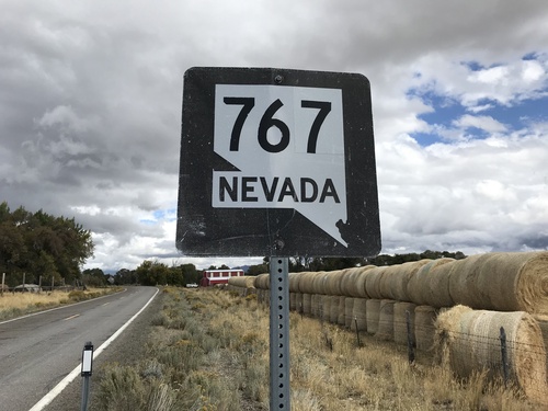
Begin NV-767 North

Begin NV-767 North

Begin NV-767 North in the Ruby Valley.

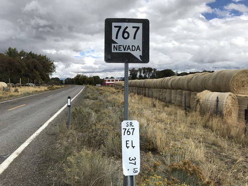
Begin NV-767 North

Begin NV-767 North

Begin NV-767 North in the Ruby Valley. Milepost 37.18 Elko County.

Ryndon

I-80 West - Exit 314

I-80 West - Exit 314

i-80 west at Exit 314 - Ryndon/Devils Gate.

South Fork

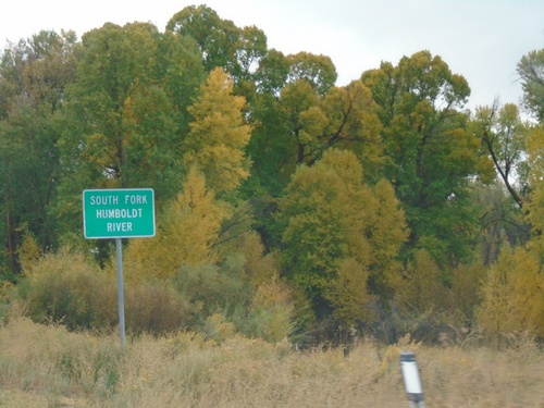
NV-228 South - South Fork Humboldt River

NV-228 South - South Fork Humboldt River

South Fork of the Humboldt River on NV-228 South.

Spring Creek

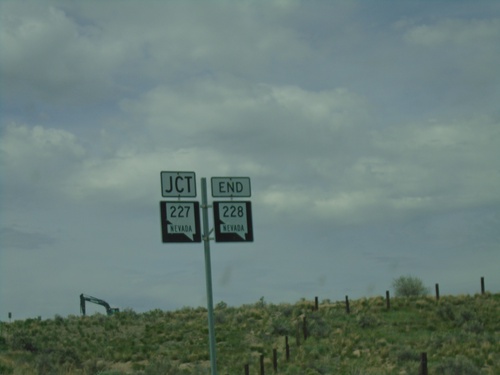
End NV-228 North at NV-227

End NV-228 North at NV-227

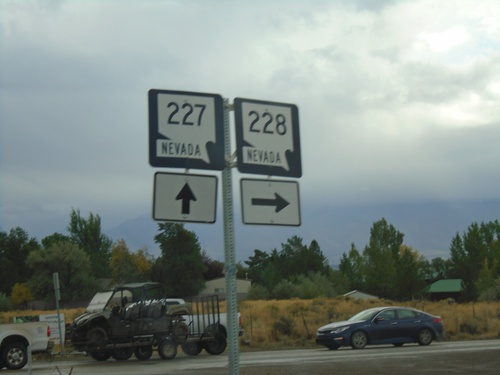
End NV-228 North at NV-227 in Spring Creek. Use NV-227 West for Elko; NV-227 East for Lamoille.
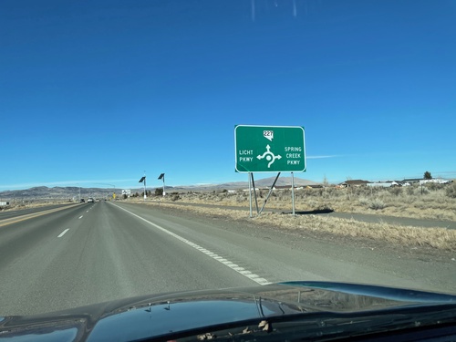
End NV-228 North At NV-227

End NV-228 North At NV-227

End NV-228 North At NV-227 in Spring Creek.

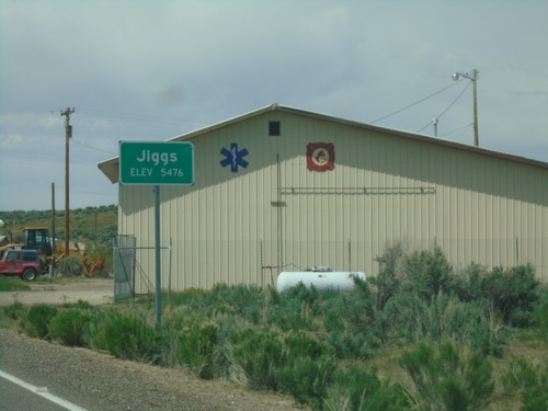
NV-228 North - Jiggs

NV-228 North - Jiggs

Entering Jiggs (Elevation 5476 Feet) on NV-228 North

NV-227 West Approaching Roundabout in Spring Creek

NV-227 West Approaching Roundabout in Spring Creek

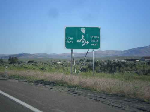
NV-227 West approaching Licht Parkway and Spring Creek Parkway roundabout in Spring Creek.
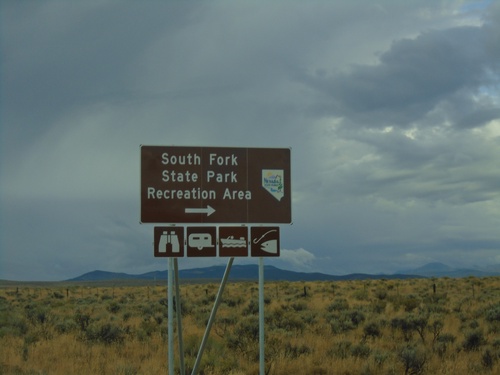
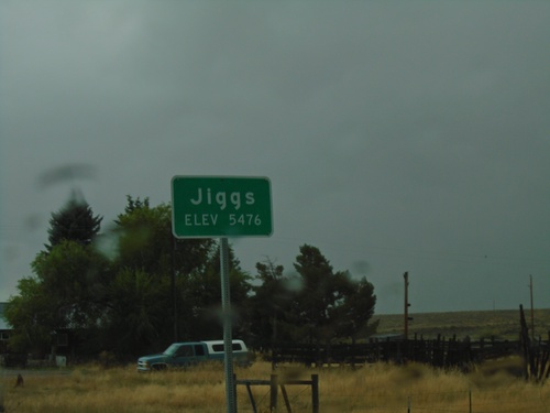
NV-228 South - Jiggs

NV-228 South - Jiggs

Entering Jiggs on NV-228 south. Elevation 5476 Feet.

NV-228 South - Lee Jct.

NV-228 South - Lee Jct.

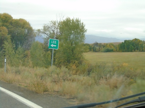
NV-228 South at Lee Jct.

NV-228 South at Twin Bridges Jct.

NV-228 South at Twin Bridges Jct.

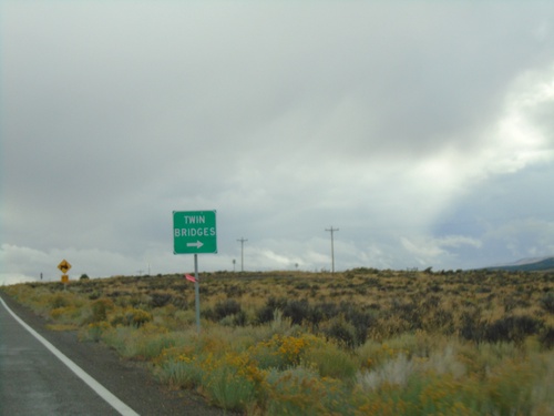
NV-228 South at Twin Bridges junction

NV-228 South at South Fork State Park Recreation Area

NV-228 South at South Fork State Park Recreation Area

NV-228 South at South Fork State Park Recreation Area.
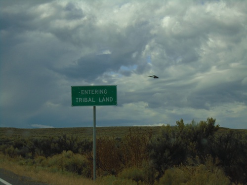
NV-228 South - South Fork Indian Reservation

NV-228 South - South Fork Indian Reservation

NV-228 - Entering Tribal Land - South Fork Indian Reservation
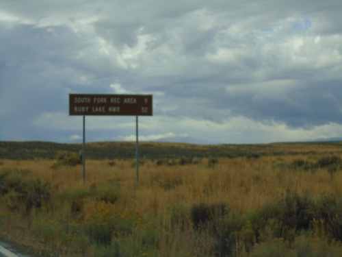
NV-228 South - Distance Marker

NV-228 South - Distance Marker

Distance marker on NV-228 south. Distance to South Fork Recreation Area and Ruby Lake NWR.
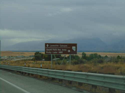
NV-227 East at NV-228

NV-227 East at NV-228

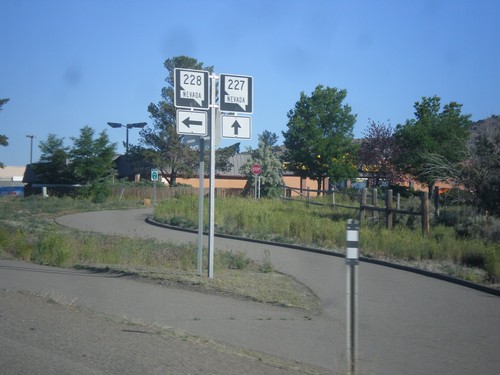
NV-227 east at NV-228 south in Spring Creek.

NV-227 East Approaching NV-228 South

NV-227 East Approaching NV-228 South

NV-227 East Approaching NV-228 South to South Fork Recreation Area and Ruby Lake NWR. Continue east on NV-226 for Lamoille Canyon.
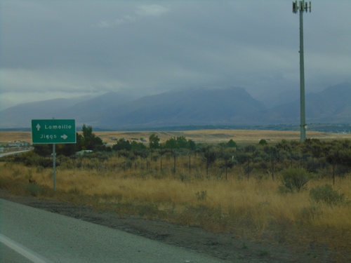
NV-227 East Approaching NV-228

NV-227 East Approaching NV-228

NV-227 east approaching NV-228 south to Jiggs. Continue east on NV-227 for Lamoille.
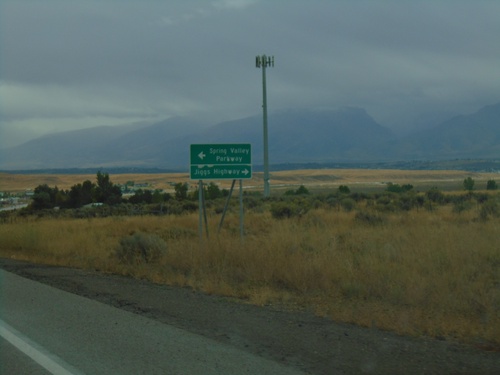
NV-227 East Approaching NV-228

NV-227 East Approaching NV-228

NV-227 East approaching NV-228 in Spring Creek. Turn right for NV-228 South/Jiggs Highway; turn left for Spring Valley Parkway.
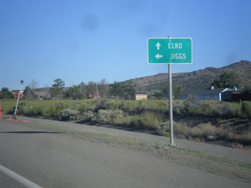
NV-227 East - Spring Creek

NV-227 East - Spring Creek

Entering Spring Creek - Elevation 5659 Feet on NV-227 East.

NV-227 South Approaching NV-228

NV-227 South Approaching NV-228

NV-227 South approaching NV-228 in Spring Creek.

NV-227 West at NV-228 South

NV-227 West at NV-228 South

NV-227 West at NV-228 South in Spring Creek.

NV-227 West at NV-228

NV-227 West at NV-228

NV-227 West at NV-228 South. Use NV-228 south to Jiggs; continue west for NV-227 to Elko.

NV-227 West Approaching NV-228

NV-227 West Approaching NV-228

NV-227 West approaching NV-228 south in Spring Creek.

NV-227 West - Spring Creek Parkway and Licht Parkway

NV-227 West - Spring Creek Parkway and Licht Parkway

NV-227 west approaching roundabout at Spring Creek Parkway and Licht Parkway.

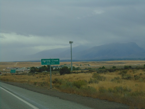
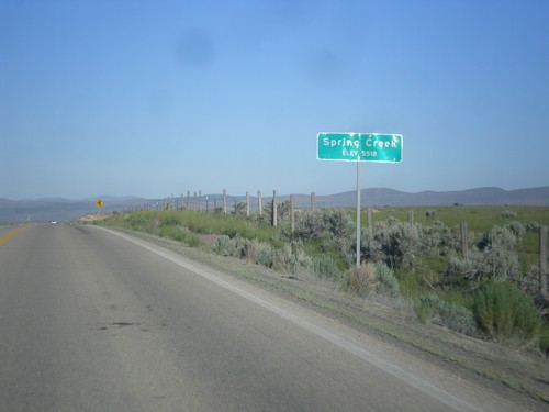
Spring Creek - Elevation 5518

Spring Creek - Elevation 5518

Entering Spring Creek - Elevation 5518 on NV-227 west.

Tuscarora

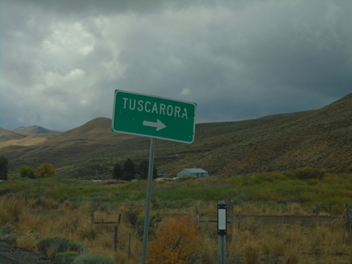
NV-226 North - Tuscarora Junction

NV-226 North - Tuscarora Junction

NV-226 North at Tuscarora junction

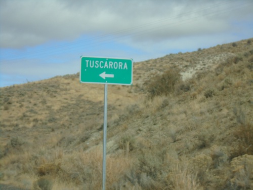
NV-226 South - Tuscarora

NV-226 South - Tuscarora

NV-226 south at Tuscarora junction.

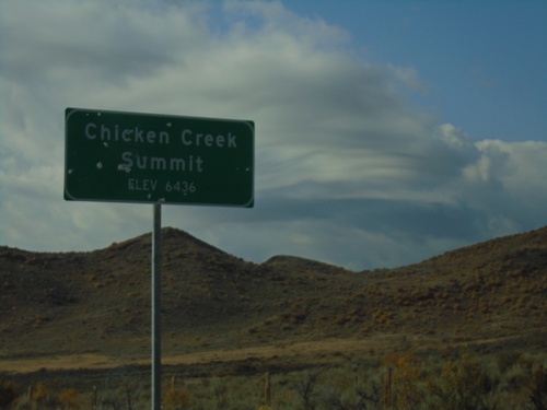
NV-226 South - Chicken Creek Summit

NV-226 South - Chicken Creek Summit

Chicken Creek Summit on NV-226 South. Elevation 6436 Feet.

End NV-226 North

End NV-226 North

End NV-226 north. There is no END text on this sign assembly but it is posted just before the end of the pavement.

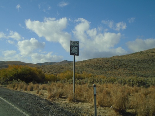
Begin NV-226 South - Elko County

Begin NV-226 South - Elko County

Begin NV-226 South in Elko County

Welcome

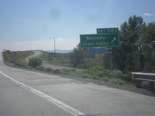
I-80 West - Exit 343

I-80 West - Exit 343

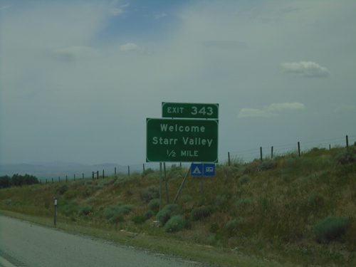
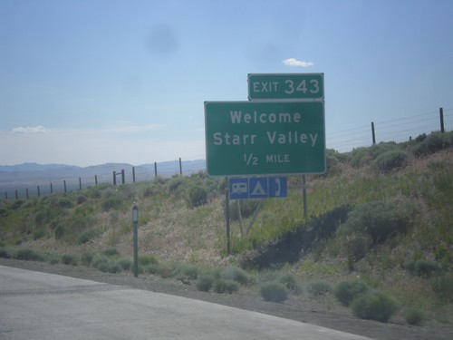
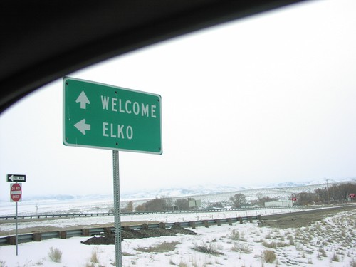
I-80 west at Exit 343 - Welcome/Starr Valley.

Wells

I-80 West - Exit 343

I-80 West - Exit 343

I-80 west approaching Exit 343 - Welcome/Starr Valley.

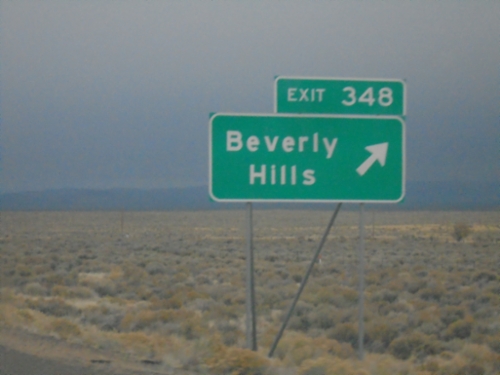
I-80 West - Exit 348

I-80 West - Exit 348

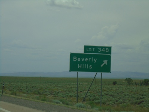
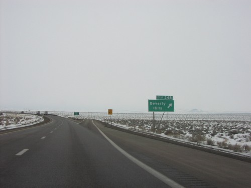
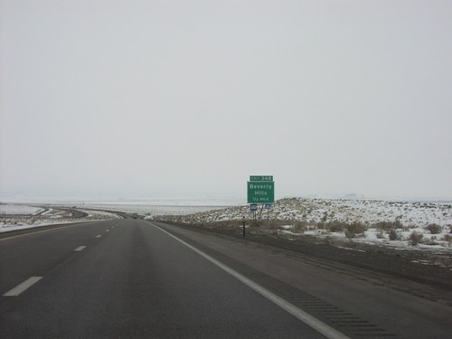
I-80 West at Exit 348 - Beverly Hills. This exit was formerly titled Crested Acres.
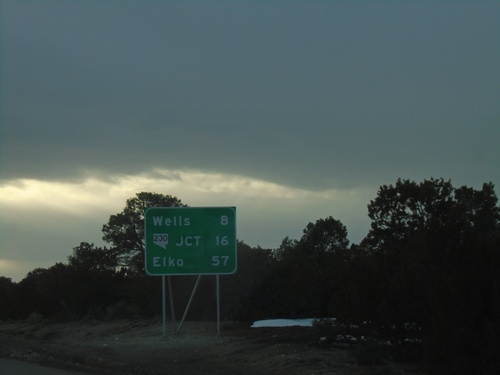
I-80 West - Distance Marker

I-80 West - Distance Marker

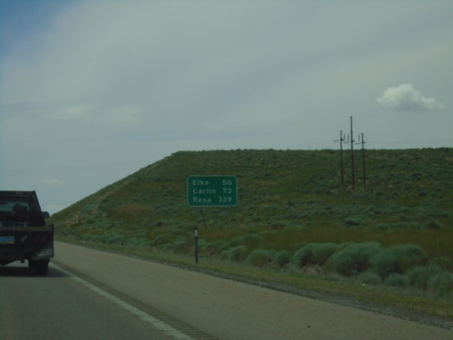
Distance marker on I-80 west. Distance to Elko, Carlin, and Reno.

I-80 West - Distance Marker

I-80 West - Distance Marker

Distance marker on I-80 west. Distance to Wells, NV-230 Junction and Elko.
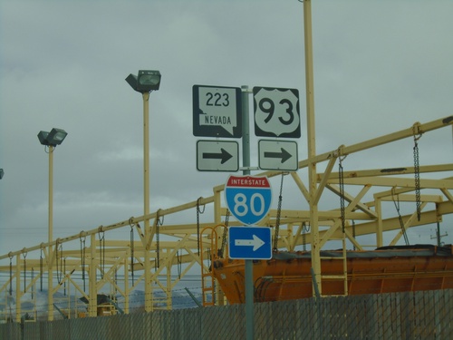
BL-80/NV-223 East At 6th St.

BL-80/NV-223 East At 6th St.

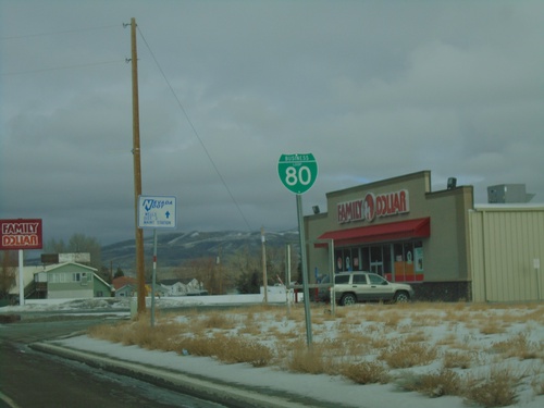
BL-80/NV-223 east (Humboldt Ave.) at 6th St in Wells. Turn right to continue east on BL-80/NV-223 and for I-80/US-93. This is the only NV-223 shield that I have seen in Wells. Most of the route is signed with a BL-80 shield.
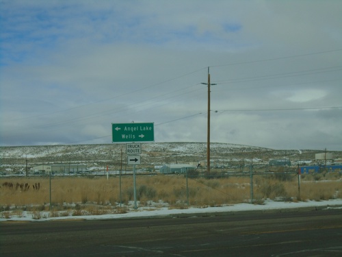
BL-80 - Wells

BL-80 - Wells

BL-80 shield along Humboldt Ave. in Wells

I-80 West - Exit 351 Offramp at BL-80/NV-223

I-80 West - Exit 351 Offramp at BL-80/NV-223

I-80 West - Exit 351 Offramp at BL-80/NV-223 (Humboldt Ave.) in Wells. Turn right for BL-80 West/NV-223 to Wells; left for Angel Lake. This is the western end of the Wells business loop.
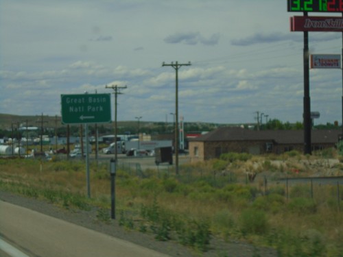
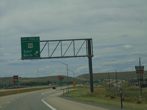
I-80 West - Exit 352A

I-80 West - Exit 352A

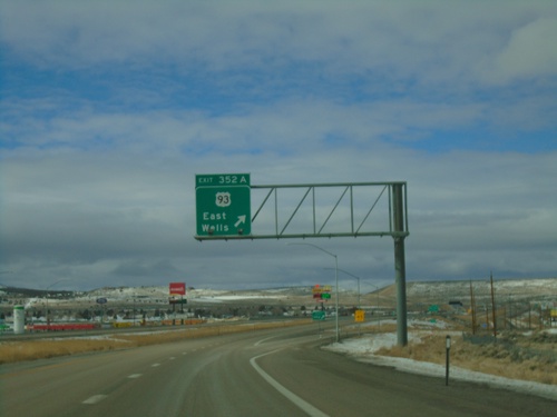
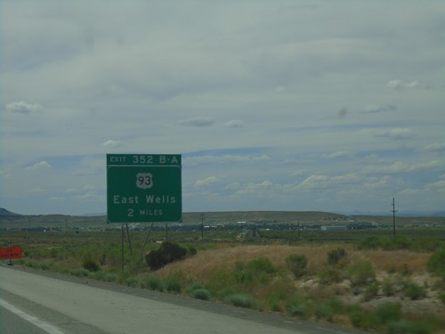
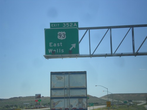
I-80 west at Exit 352A - US-93/East Wells.

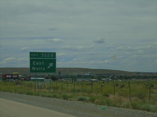
I-80 West - Exit 352B

I-80 West - Exit 352B

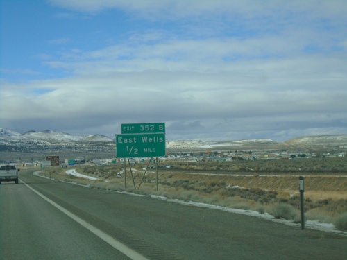
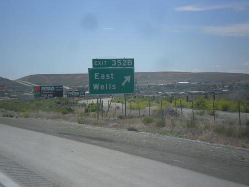
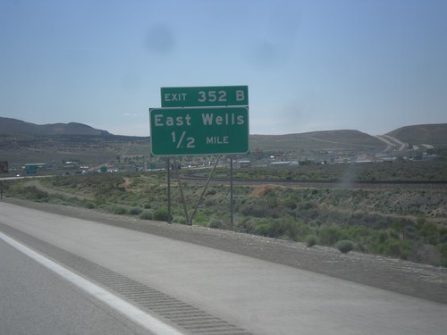
I-80 west approaching Exit 352B - East Wells.

US-93 North at BL-80 and NV-233

US-93 North at BL-80 and NV-233

US-93 North at BL-80 and NV-233 (unsigned).

I-80 West - Exit 352A Offramp

I-80 West - Exit 352A Offramp

I-80 West - Exit 352A Offramp. Turn right on US-93 South for Great Basin National Park.
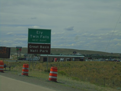
I-80 West - Exit 352A

I-80 West - Exit 352A

I-80 west at Exit 352A - US-93/East Wells.

I-80 West - Exit 352A

I-80 West - Exit 352A

I-80 west approaching Exit 352A. Use Exit 352A (US-93) for Ely, Twin Falls (Idaho), and Great Basin National Park.
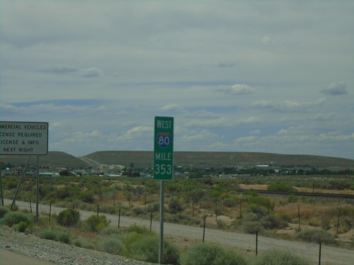
I-80 West - Exit 352B

I-80 West - Exit 352B

I-80 west at Exit 352B - East Wells.

I-80 West - Mile 353

I-80 West - Mile 353

I-80 West - Mile 353. These types of mileposts with the route shield have been showing up more and more in Nevada recently.
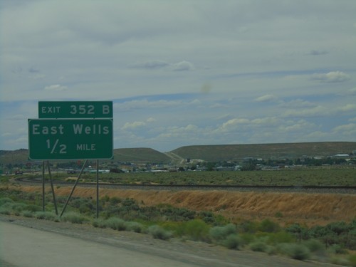
I-80 West - Exit 352B

I-80 West - Exit 352B

I-80 west approaching Exit 352A - East Wells.

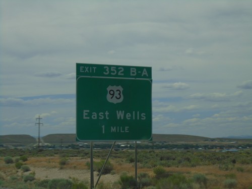
I-80 West - Exits 352B-A

I-80 West - Exits 352B-A

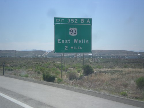
I-80 west approaching Exits 352B-A - US-93/East Wells.

I-80 West - Exits 352A-B

I-80 West - Exits 352A-B

I-80 west approaching Exits 352A-B - US-93/East Wells.

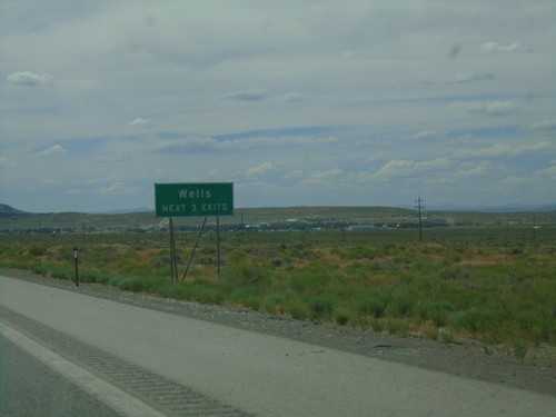
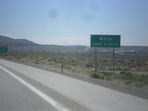
I-80 West - Wells Next 3 Exits

I-80 West - Wells Next 3 Exits

I-80 west approaching Wells. Use next 3 exits for Wells.

I-80 West - Exit 360

I-80 West - Exit 360

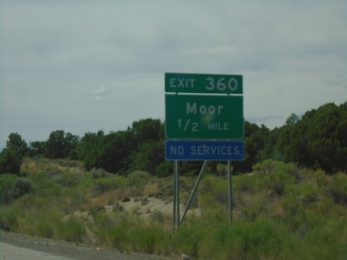
I-80 west approaching Exit 360 - Moor.

I-80 West - Exit 373

I-80 West - Exit 373

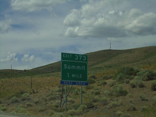
I-80 west approaching Exit 373 - Summit.

I-80 West - Exit 376

I-80 West - Exit 376

I-80 west at Exit 376 - Pequop.

US-93 North at BL-80 and NV-233

US-93 North at BL-80 and NV-233

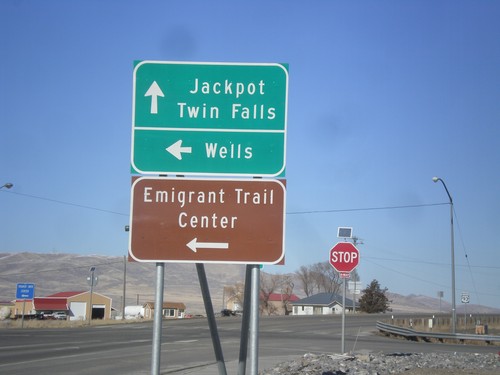
US-93 North at BL-80 and NV-233. Turn left on BL-80/NV-233 for Wells and the Emigrant Trail Center. Continue north on US-93 for Jackpot and Twin Falls (Idaho).
US-93 North at I-80 West

US-93 North at I-80 West

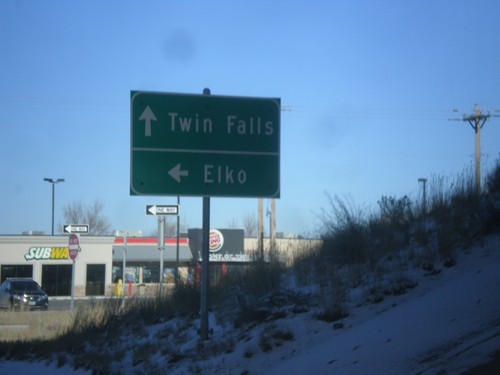
US-93 north at I-80 west (Exit 352). Turn right for I-80 west to Elko. Continue straight for US-93 north to Twin Falls (Idaho).
US-93 North at I-80

US-93 North at I-80

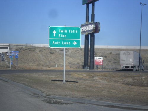
US-93 north at I-80 (Exit 352). Use I-80 east for Salt Lake. Use I-80 west for Elko. Continue north on US-93 for Twin Falls.
NV-229 North - Elko County

NV-229 North - Elko County

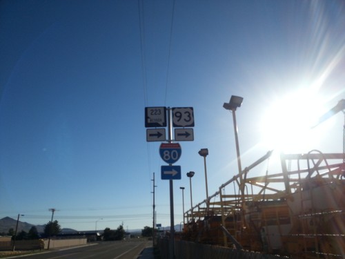
NV-229 north in Elko County.

End NV-229 South at US-93

End NV-229 South at US-93

End NV-229 South at US-93. Use US-93 south for Ely; US-93 north for Wells.

BL-80/NV-223 East At 6th St.

BL-80/NV-223 East At 6th St.

BL-80/NV-223 east (Humboldt Ave.) at 6th St in Wells. Turn right to continue east on BL-80/NV-223 and for I-80.
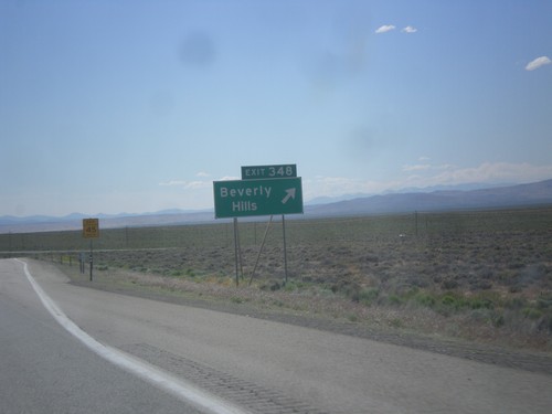
I-80 West - Exit 343

I-80 West - Exit 343

I-80 west approaching Exit 343 - Welcome/Starr Valley.

I-80 West - Exit 348

I-80 West - Exit 348

I-80 West at Exit 348 - Beverly Hills. This exit was formerly titled Crested Acres.
I-80 West - Exit 352A

I-80 West - Exit 352A

I-80 west at Exit 352A - US-93/East Wells.

I-80 West - Exit 352B

I-80 West - Exit 352B

I-80 west at Exit 352B - East Wells.

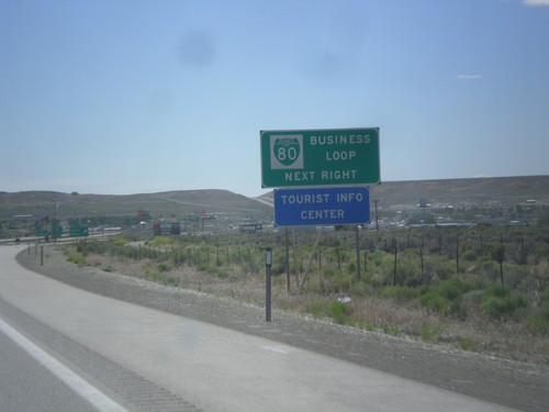
I-80 West - Business Loop

I-80 West - Business Loop

I-80 west approaching Exit 352A. This is the eastern end of the Wells business loop. Typically business loops are not posted on the main exit assembly in Nevada, rather they are on signs like this before the interchange.
I-80 West - Exit 352B

I-80 West - Exit 352B

I-80 west approaching Exit 352A - East Wells.

I-80 West - Exits 352A-B

I-80 West - Exits 352A-B

I-80 west approaching Exits 352A-B - US-93/East Wells.

I-80 West - Wells Next 3 Exits

I-80 West - Wells Next 3 Exits

I-80 west approaching Wells. Use next 3 exits for Wells.

US-93 North - Mile Marker

US-93 North - Mile Marker

This is an unusual mile marker on US-93 north in Nevada. Typical mile markers in Nevada are much smaller and do not have a shield outline on them, just a text description of the route. There are two or there on this stretch of road between Wells and Lages Junction.
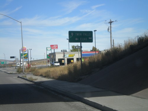
US-93 North at I-80 West

US-93 North at I-80 West

US-93 north at I-80 west (Exit 352). Turn right for I-80 west to Elko. Continue straight for US-93 north to Twin Falls (Idaho).
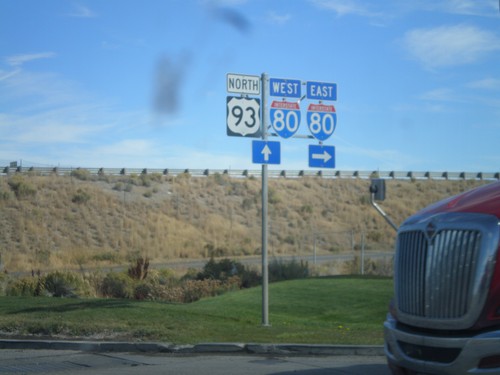
US-93 North at I-80

US-93 North at I-80

US-93 north at I-80 (Exit 352). Turn right for I-80 east; continue under the underpass for I-80 west.
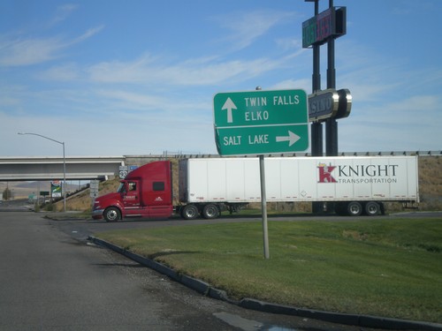
US-93 North at I-80

US-93 North at I-80

US-93 north at I-80 (Exit 352). Use I-80 east for Salt Lake. Use I-80 west for Elko. Continue north on US-93 for Twin Falls.
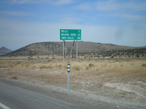
US-93 North - Distance Marker

US-93 North - Distance Marker

Distance Marker on US-93 north to Wells, Wilkins (Site), and Twin Falls. Taken just north of NV-232 junction.
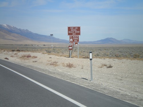
US-93 North at NV-232

US-93 North at NV-232

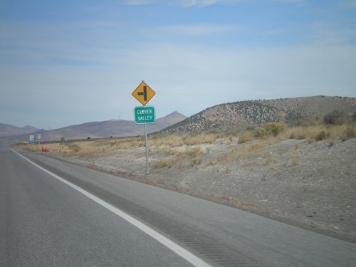
US-93 north at NV-232 (unsigned northbound) to Clover Valley.

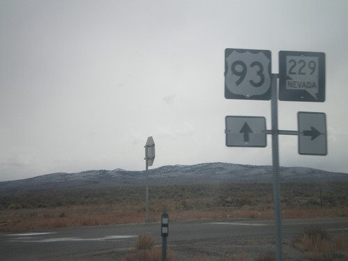
US-93 North at NV-229

US-93 North at NV-229

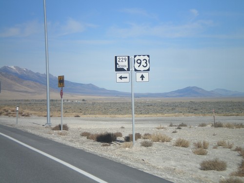
US-93 north at NV-229.

US-93 North at NV-229

US-93 North at NV-229

US-93 north at NV-229. Turn right on NV-229 for Ruby Lake National Wildlife Refuge.
US-93 North Approaching NV-229

US-93 North Approaching NV-229

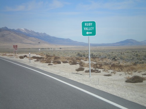
US-93 north approaching NV-229 north to Ruby Valley.

US-93 North Approaching NV-229

US-93 North Approaching NV-229

US-93 north approaching NV-229.

US-93 North Approaching NV-229

US-93 North Approaching NV-229

US-93 north approaching NV-229 junction.

I-80 East - Exit 378

I-80 East - Exit 378

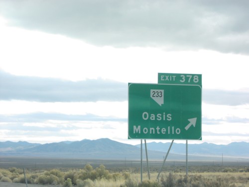
I-80 east at Exit 378 - NV-233/Oasis/Montello

I-80 East - Exit 373

I-80 East - Exit 373

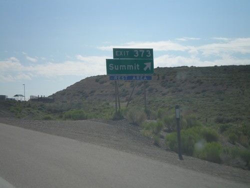
I-80 east at Exit 373 - Summit. Access to Rest Area. Summit refers to Pequop Summit.

I-80 East - Exit 360

I-80 East - Exit 360

I-80 east at Exit 360 - Moor.

US-93 South at NV-229

US-93 South at NV-229

US-93 south at NV-229 in Elko County.

US-93 South Approaching NV-229

US-93 South Approaching NV-229

US-93 south approaching NV-229 west to Ruby Valley.

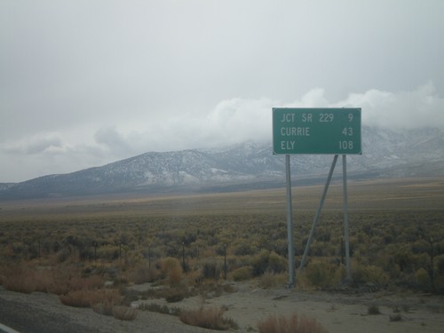
US-93 South - Distance Marker

US-93 South - Distance Marker

Distance marker on US-93 south. Distance to Jct. SR-229, Currie, and Ely.

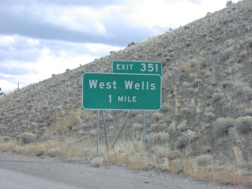
I-80 East Exit 351

I-80 East Exit 351

I-80 east at Exit 351, West

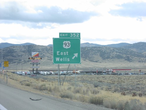
I-80 East Exit 352

I-80 East Exit 352

I-80 east at Exit 352, US-93/East

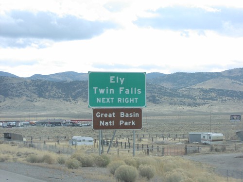
I-80 East Exit 352

I-80 East Exit 352

I-80 east approaching Exit 352 to Ely and Twin Fals

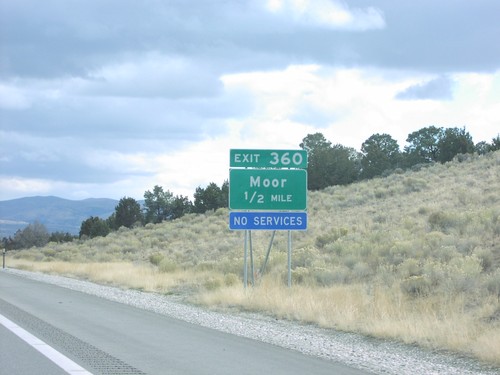
I-80 East Exit 360

I-80 East Exit 360

I-80 east approaching Exit 360 to Moor

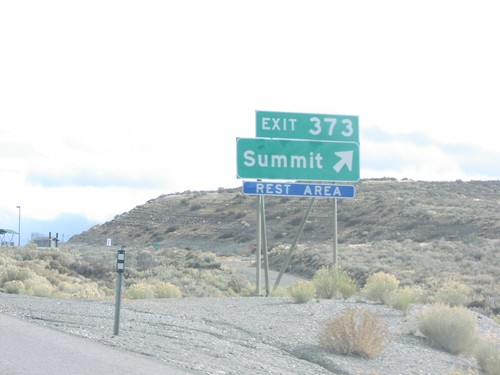
I-80 East Exit 373

I-80 East Exit 373

I-80 east at Exit 373, Summit (Pequop Summit)

I-80 East Exit 376

I-80 East Exit 376

I-80 east Exit 376, Pequop

I-80 East Exit 378

I-80 East Exit 378

I-80 east approaching Exit 378, NV-233 to Oasis and Montello

I-80 East Exit 378

I-80 East Exit 378

I-80 east at Exit 378, NV-233/Oasis/Montello

BL-80 West at I-80 - Wells, NV

BL-80 West at I-80 - Wells, NV

Direction Sign To Elko and Salt Lake at I-80 Junction

BL-80 West at US-93 - Wells

BL-80 West at US-93 - Wells

Direction Sign to Twin Falls, Jackpot and Ely at US-93/BL-80 Junction

BL-80 West at US-93 (To I-80)

BL-80 West at US-93 (To I-80)

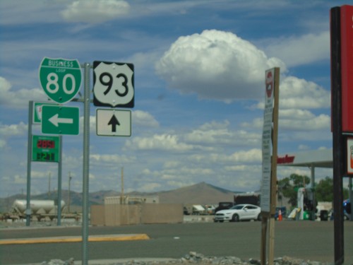
BL-80, I-80, and US-93 Shields at BL-80/US-93 Junction

I-80 Exit 351 Onramp

I-80 Exit 351 Onramp

I-80 East/West Shields at West Wells Exit, in Wells

I-80 West - Distance Marker

I-80 West - Distance Marker

I-80 West Distance Marker

I-80 West Exit 348

I-80 West Exit 348

I-80 West at Exit 348

I-80 West Exit 348

I-80 West Exit 348

I-80 West Approaching Exit 348

NV-230 East at I-80 at Exit 343

NV-230 East at I-80 at Exit 343

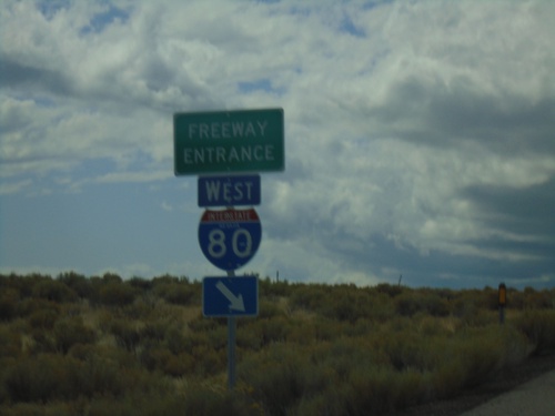
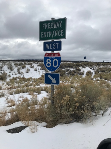
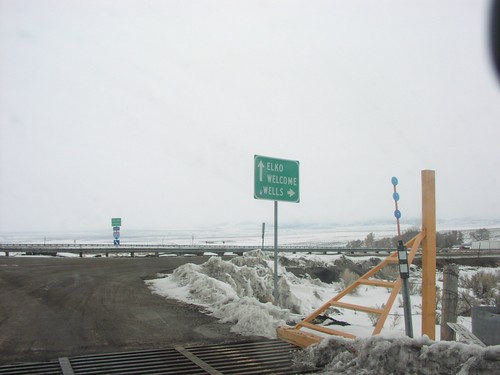
End of NV-230 at I-80. Freeway Entrance to Welcome/Elko/Wells

NV-230 East at I-80 Exit 343 Onramp

NV-230 East at I-80 Exit 343 Onramp

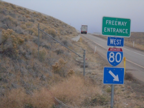
I-80 Freeway Entrance at end of NV-230

NV-230 West of I-80 Exit 343

NV-230 West of I-80 Exit 343

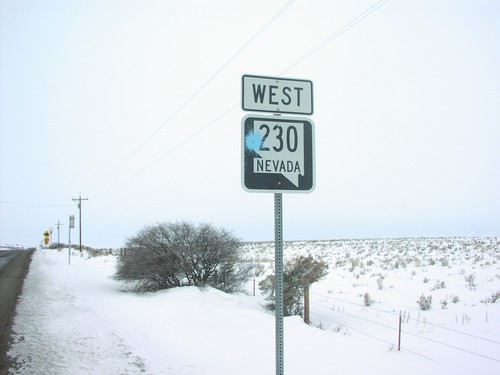
NV-230 West Shield

West Wendover

I-80 West/US-93 Alt. North Onramp - Exit 407

I-80 West/US-93 Alt. North Onramp - Exit 407

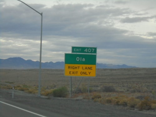
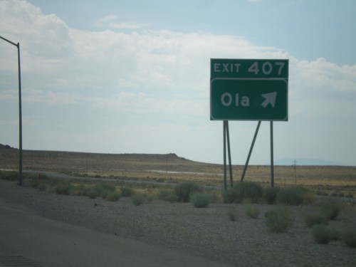
I-80 West/US-93 Alt. North Freeway Entrance - Exit 407 (Ola Interchange)
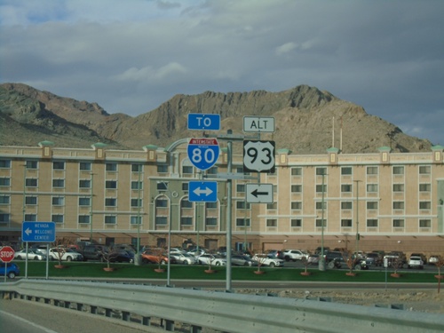
Ola Interchange at I-80 West

Ola Interchange at I-80 West

Ola Interchange at I-80 West to Elko.

Ola Interchange at I-80 East/US-93 Alt. South

Ola Interchange at I-80 East/US-93 Alt. South

Ola Interchange at I-80 East/US-93 Alt. South onramp.

Wendover Blvd West Approaching I-80

Wendover Blvd West Approaching I-80

Wendover Blvd West Approaching I-80 (Exit 407 - Ola Interchange)

US-93 Alt. North at BL-80/To I-80

US-93 Alt. North at BL-80/To I-80

US-93 Alt. North at BL-80 in West Wendover. Use BL-80 for access to I-80. Turn left to continue north on US-93 Alt.
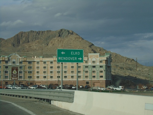
US-93 Alt. North at BL-80 - West Wendover

US-93 Alt. North at BL-80 - West Wendover

US-93 Alt. North at BL-80 in West Wendover. Turn right on BL-80 East for Wendover (Utah). Turn left for BL-80 West/US-93 Alt. North to Elko.
US-93 Alt. North - West Wendover

US-93 Alt. North - West Wendover

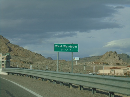
West Wendover - Elevation 4315 Feet on US-93 Alt. North.

Alt. US-93 North - Entering West Wendover

Alt. US-93 North - Entering West Wendover

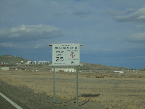
Entering West Wendover on US-93 Alt. north. Sign also lists the default speed limit, helmet laws, and cell phone laws.
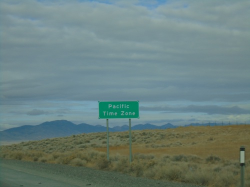
I-80 West - Pacific Time Zone

I-80 West - Pacific Time Zone

Entering Pacific Time Zone on I-80 West/Alt. US-93 North. The city of West Wendover, Nevada observes Mountain Time as it is located on the Utah border. The time zone boundary on I-80 is just west of West Wendover.
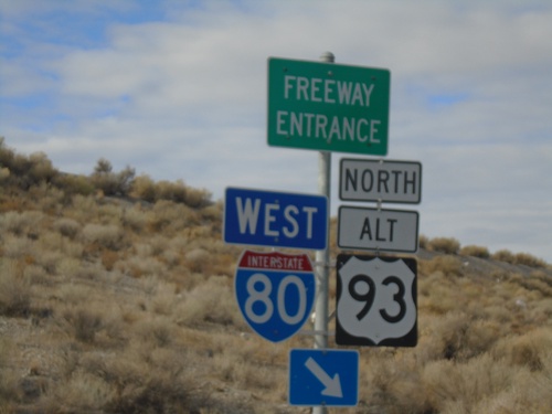
I-80 West - Exit 407

I-80 West - Exit 407

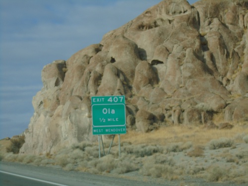
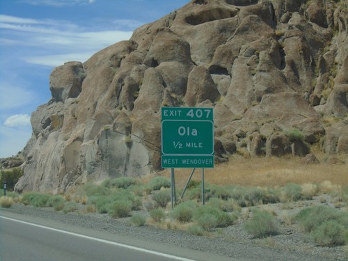
I-80 west approaching Exit 407 - Ola. Use Exit 407 for access to West Wendover.

US-93 Alt/BL-80 West at I-80/US-93 Alt Onramp

US-93 Alt/BL-80 West at I-80/US-93 Alt Onramp

US-93 Alt/BL-80 West at I-80 West/US-93 Alt. North onramp (Exit 410) - in West Wendover.
BL-80 West at I-80 West (Exit 410)

BL-80 West at I-80 West (Exit 410)

BL-80 West at I-80 West (Exit 410) to Elko.

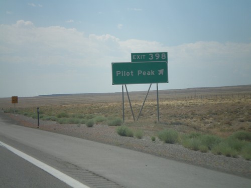
I-80 West - Exit 398

I-80 West - Exit 398

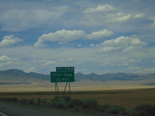
I-80 west approaching Exit 398 - Pilot Peak.

I-80 West - Exit 407

I-80 West - Exit 407

I-80 west approaching Exit 407 - Ola. Use Exit 407 for access to West Wendover.

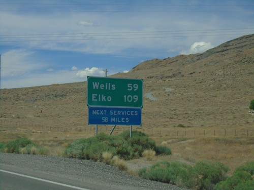
I-80 West - Distance Marker

I-80 West - Distance Marker

I-80 west at first distance marker in Nevada westbound. Distance to Wells and Elko. Next services 58 miles.
Alt. US-93 South - Kinsley Mountain Road

Alt. US-93 South - Kinsley Mountain Road

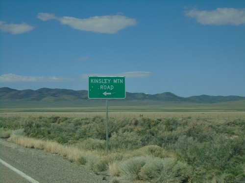
Alt. US-93 south at Kinsley Mountain Road.

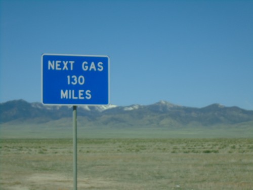
Alt. US-93 South - Next Gas 130 MPH

Alt. US-93 South - Next Gas 130 MPH

Next Gas 130 MPH on Alt. US-93 South. This sign is not correct, as the next gas is in McGill which is 107 miles.
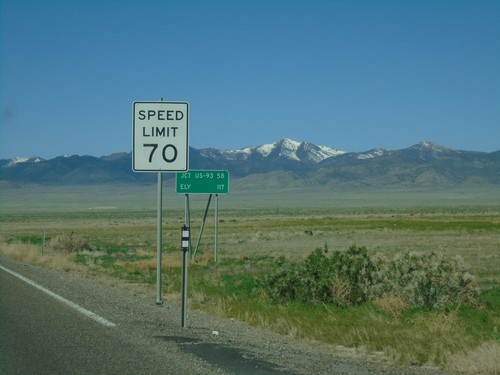
US-93 Alt South - Speed Limit 70 MPH

US-93 Alt South - Speed Limit 70 MPH

Speed limit 70 MPH on Alt. US-93 South leaving West Wendover. Distance marker to Jct. US-93 and Ely.
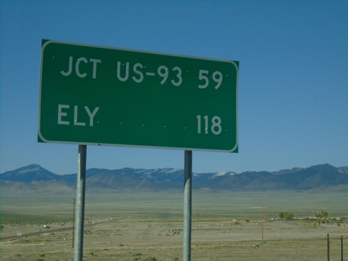
US-93 Alt. South - Distance Marker

US-93 Alt. South - Distance Marker

Distance marker on US-93 Alt. South. Distance to Jct. US-93 and Ely.
US-93 Alt. South - West Wendover

US-93 Alt. South - West Wendover

US-93 Alt. South shield on the road out of West Wendover.

Alt. US-93 North - Elko County

Alt. US-93 North - Elko County

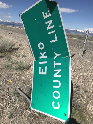
Elko County Line on Alt. US-93 North. The Elko County sign was damaged and hanging vertically from the post.
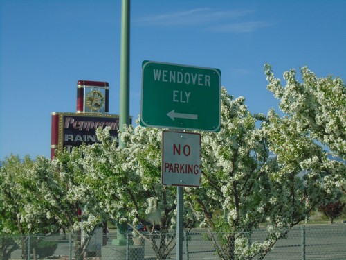
US-93 Alt. South/BL-80 East at Wendover Blvd.

US-93 Alt. South/BL-80 East at Wendover Blvd.

US-93 Alt. South/BL-80 East at Wendover Blvd. Turn left on Wendover Blvd. for Wendover and Ely and to continue on US-93 Alt. and BL-80.
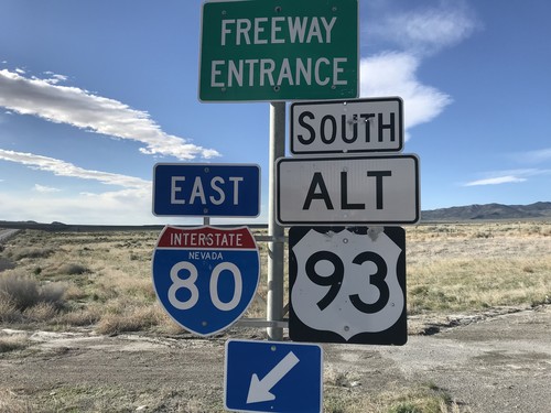
US-93 Alt. South at I-80 East Onramp

US-93 Alt. South at I-80 East Onramp

US-93 Alt. South at I-80 East Onramp to Salt Lake (Utah).

I-80 West - Exit 410 Offramp

I-80 West - Exit 410 Offramp

Offramp at I-80 West Exit 410. Turn left for BL-80 and south US-93 Alt.

I-80 West - Exit 410

I-80 West - Exit 410

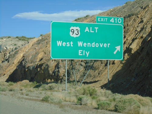
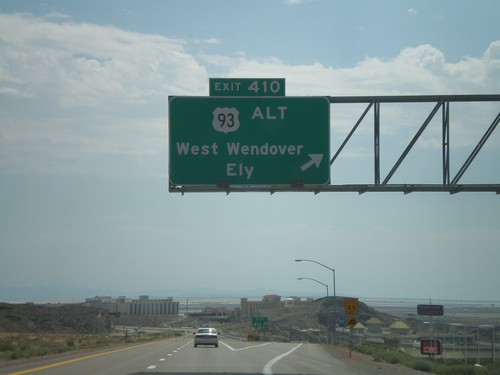
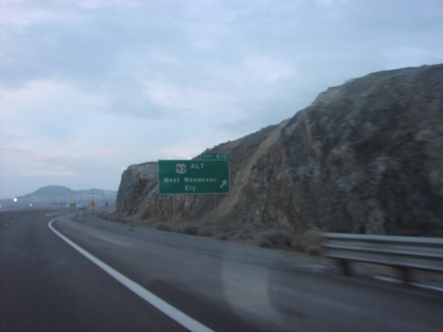
I-80 West at Exit 410 - US-93 Alt./West Wendover/Ely.

I-80 West - Elko County Line

I-80 West - Elko County Line

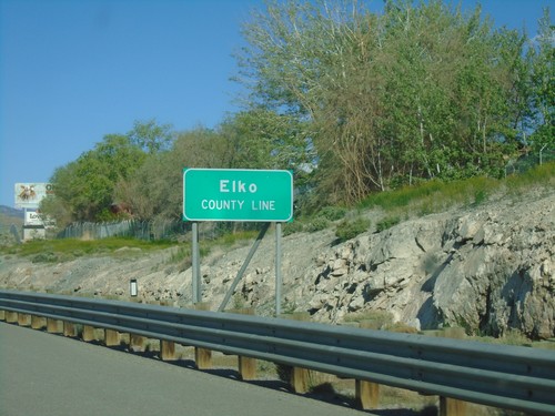
Elko County Line on I-80 west at the Nevada-Utah state line.

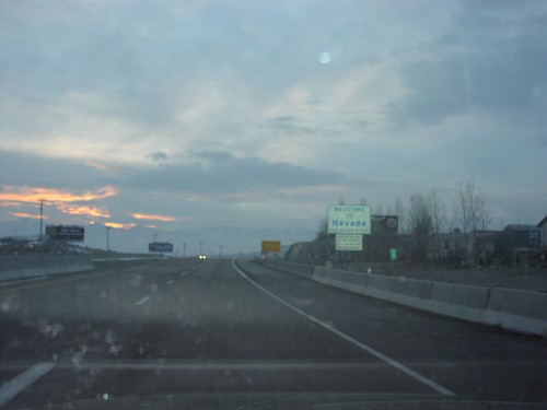
I-80 West - Welcome To Nevada

I-80 West - Welcome To Nevada

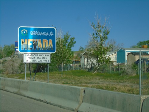
Welcome To Nevada on I-80 West at the Nevada-Utah state line.

I-80 East Approaching Exit 410

I-80 East Approaching Exit 410

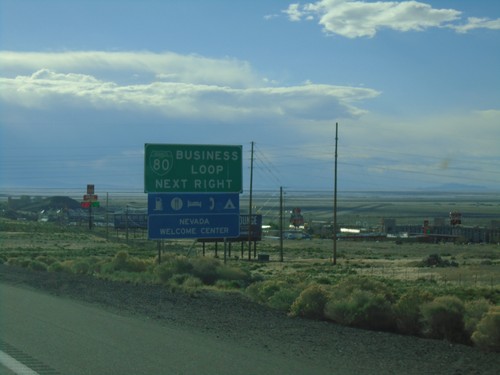
I-80 east approaching Exit 410. Use Exit 410 for BL-80/Business Loop and Nevada Welcome Center.
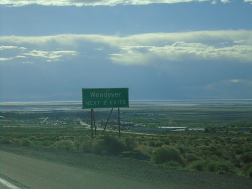
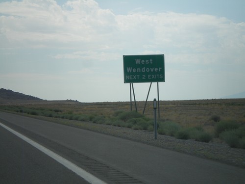
I-80 East - Wendover Next 2 Exits

I-80 East - Wendover Next 2 Exits

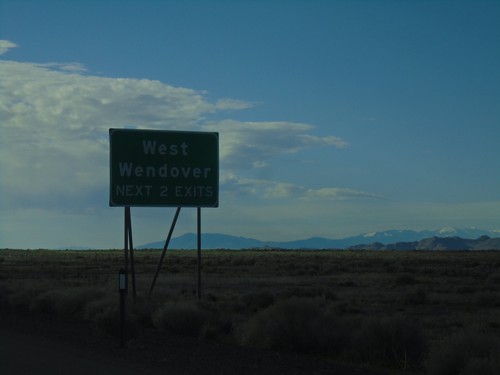
I-80 East - Wendover Next 2 Exits. The salt flats are in the background of the photo.
I-80 East - West Wendover Exits

I-80 East - West Wendover Exits

West Wendover - Next 2 Exits on I-80 east.

Pilot Peak Interchange at I-80 East/Alt. US-93 South

Pilot Peak Interchange at I-80 East/Alt. US-93 South

Pilot Peak interchange (Exit 398) at I-80 East/Alt. US-93 South in Elko County.
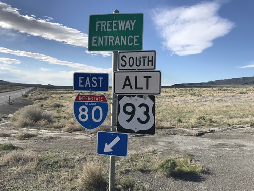
Pilot Peak Interchange at I-80 East/Alt. US-93 South

Pilot Peak Interchange at I-80 East/Alt. US-93 South

Pilot Peak interchange (Exit 398) at I-80 East/Alt. US-93 South in Elko County.
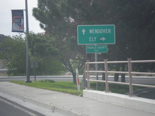
BL-80 East - West Wendover

BL-80 East - West Wendover

BL-80 east shield along Wendover Blvd. in West Wendover.

BL-80 East at Alt. US-93 South

BL-80 East at Alt. US-93 South

BL-80 East/Alt. US-93 South (Wendover Blvd.) at Alt. US-93 south to Ely. Continue straight for BL-80 east to Wendover (Utah).
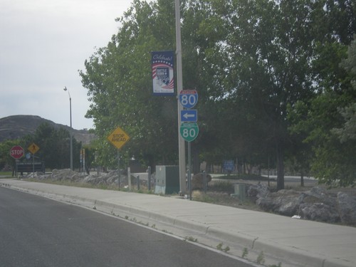
Wendover Blvd. at BL-80/Alt. US-93 Jct.

Wendover Blvd. at BL-80/Alt. US-93 Jct.

Wendover Blvd. east at BL-80/Alt. US-93 jct. Turn left for BL-80 West/Alt. US-93 North to I-80. Continue straight on Wendover Blvd. for BL-80 East/Alt. US-93 South.
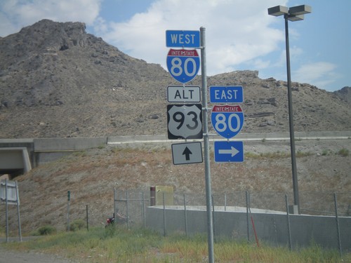
BL-80 West/Alt. US-93 North at I-80

BL-80 West/Alt. US-93 North at I-80

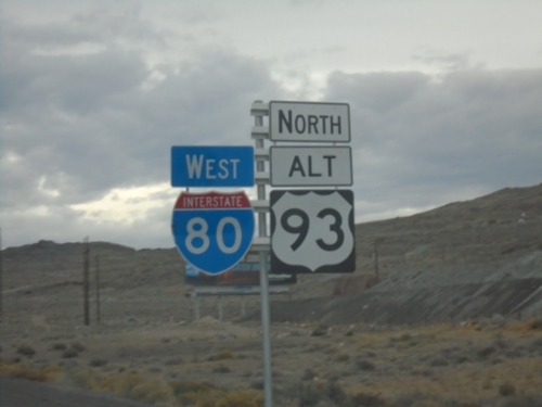
BL-80 West/Alt. US-93 North at I-80 onramps. Alt. US-93 north joins I-80 west to Wells.
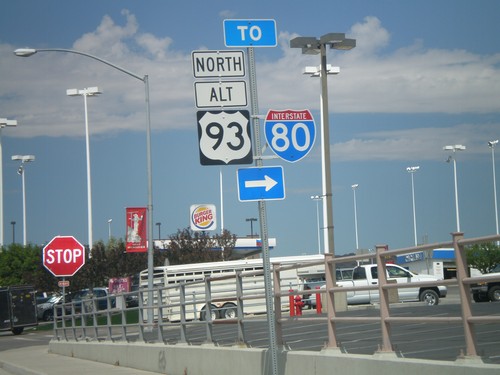
BL-80 West/Alt. US-93 North - To I-80

BL-80 West/Alt. US-93 North - To I-80

BL-80 West/Alt. US-93 North on Wendover Blvd. at access road to I-80.
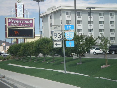
BL-80 West at Alt. US-93

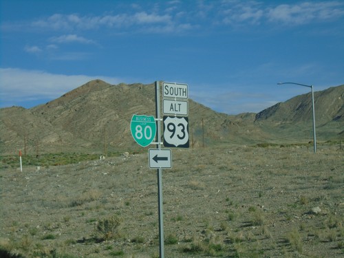
BL-80 West at Alt. US-93

BL-80 west at Alt. US-93. Continue west on BL-80 and Alt. US-93 for I-80. Alt. US-93 follows I-80 west from here to Wells.
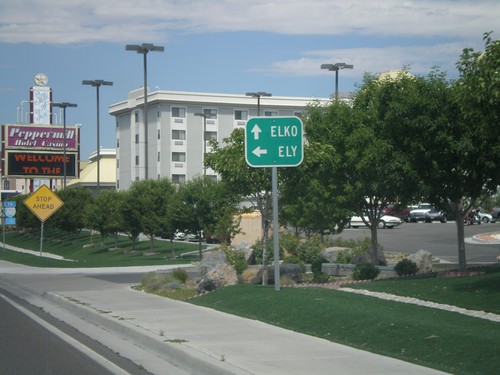
BL-80 West at Alt. US-93

BL-80 West at Alt. US-93

BL-80 west at Alt. US-93. Use Alt. US-93 South for Ely. Alt. US-93 joins BL-80 west towards I-80 and Elko.
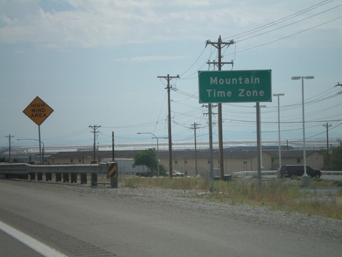
I-80 East - Entering Mountain Time Zone

I-80 East - Entering Mountain Time Zone

Entering Mountain Time Zone on I-80 east, just before the Nevada-Utah state line.
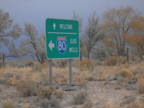
I-80 East - Exit 410

I-80 East - Exit 410

I-80 east at Exit 410 - US-93 Alt./West Wendover/Ely. This is the last exit in Nevada on I-80 east. This exit is the western end of the West Wendover/Wendover business loop. The casinos in West Wendover and the salt flats beyond are visible.

I-80 East - Exit 407

I-80 East - Exit 407

I-80 east at Exit 407 - Ola.

I-80 East - West Wendover Exits

I-80 East - West Wendover Exits

West Wendover - Next 2 Exits on I-80 east.

I-80 East - Exit 398

I-80 East - Exit 398

I-80 east at Exit 398 - Pilot Peak.

I-80 West - Welcome To Nevada

I-80 West - Welcome To Nevada

Welcome To Nevada on I-80 West, Nevada-Utah Border

I-80 West Exit 407

I-80 West Exit 407

I-80 West at Exit 407

I-80 West Exit 410

I-80 West Exit 410

I-80 West at US-93 ALT, Exit 410

No Place Associated

Alt. US-93 South - Distance Marker

Alt. US-93 South - Distance Marker

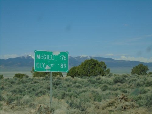
Distance marker on Alt. US-93 South. Distance to McGill and Ely.

Alt. US-93 South - White Horse Pass

Alt. US-93 South - White Horse Pass

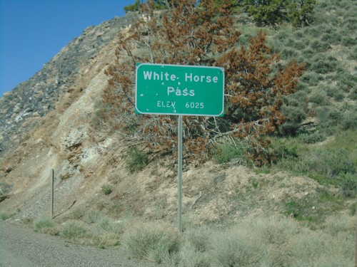
Alt. US-93 South at White Horse Pass - Elevation 6025 Feet.

Alt. US-93 South at Ibapah Junction

Alt. US-93 South at Ibapah Junction

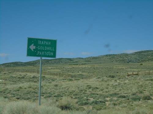
Alt. US-93 South at junction to Ibapah, Goldhill, and Partoun.

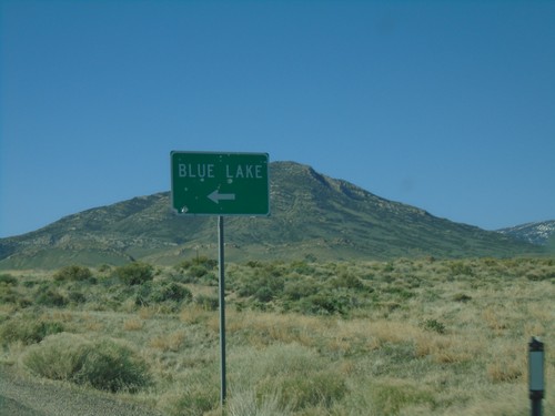
US-93 Alt. South Approaching Blue Lake Junction

US-93 Alt. South Approaching Blue Lake Junction

US-93 Alt. South approaching Blue Lake Junction. Blue Lake is a popular spot for scuba divers.

NV-229 South at Lamoille Jct.

NV-229 South at Lamoille Jct.

NV-229 South at Lamoille junction.

I-80 West - Exit 333

I-80 West - Exit 333

I-80 west at Exit 333 - Deeth/Starr Valley.

I-80 West - Exit 333

I-80 West - Exit 333

I-80 West approaching Exit 333 - Deeth/Starr Valley.

NV-233 West - Welcome To Nevada

NV-233 West - Welcome To Nevada

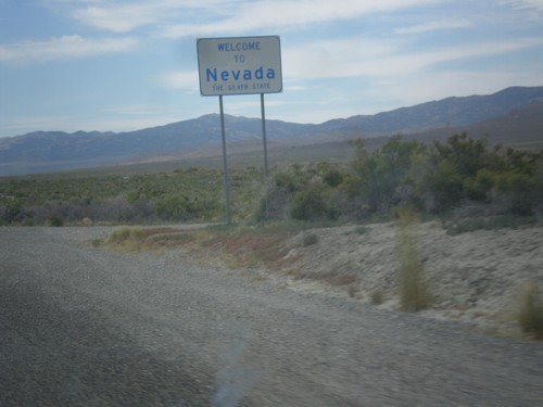
Welcome to Nevada - The Silver State on NV-233 west. Taken at the Utah-Nevada state line.
I-80 West Exit 333

I-80 West Exit 333

I-80 West at Exit 333