Javascript Is Required To Use This Page

Humboldt County, Nevada

Localities: Denio | Golconda | McDermitt | Red House | Sulphur | Valmy | Winnemucca

Denio
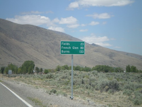
NV-292 North - Distance Marker

NV-292 North - Distance Marker

Distance marker entering Denio on NV-292 north. Distance to Fields, French Glen, and Burns. All three destinations are in Oregon. The Oregon-Nevada state line is at the north end of Denio.

NV-140 East at NV-292 - Denio Junction

NV-140 East at NV-292 - Denio Junction

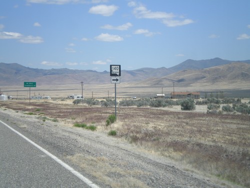
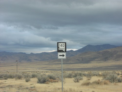
NV-140 east at NV-292 in Denio Junction. Turn left on NV-292 north for Denio. Turn right to continue east on NV-140 for Winnemucca.

NV-140 East at NV-292 - Denio Junction

NV-140 East at NV-292 - Denio Junction

NV-140 east at NV-292. Turn right to continue east on NV-140.

Jct. NV-140 on NV-292 South

Jct. NV-140 on NV-292 South

NV-292 south approaching NV-140

NV-140 East at NV-292

NV-140 East at NV-292

NV-140 east at NV-292 jct.

NV-292 South at NV-140

NV-292 South at NV-140

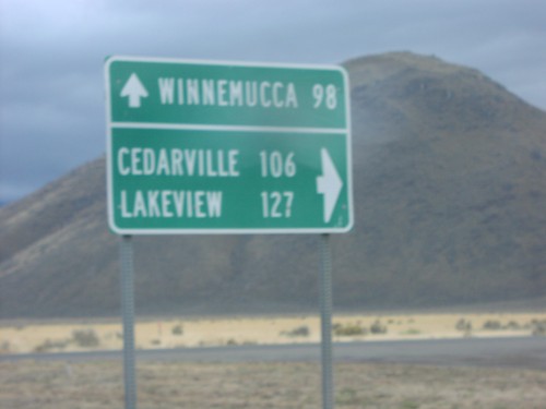
End NV-292 at NV-140 to Cedarville, Lakeview, and Winnemucca

NV-292 South at NV-140

NV-292 South at NV-140

End NV-292 at NV-140

Golconda

I-80 East - Exit 205

I-80 East - Exit 205

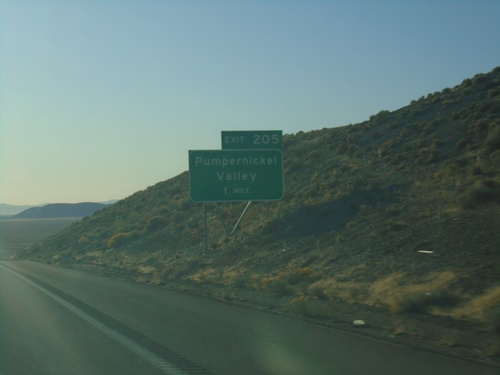
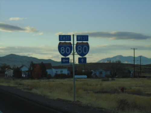
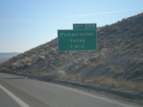
I-80 east approaching Exit 205 - Pumpernickel Valley

I-80 East - Exit 194

I-80 East - Exit 194

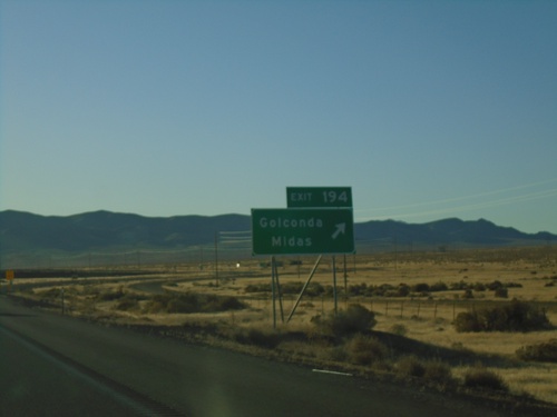
I-80 east at Exit 194 - Golconda/Midas

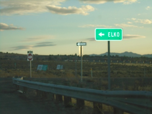
NV-789 South at I-80 East

NV-789 South at I-80 East

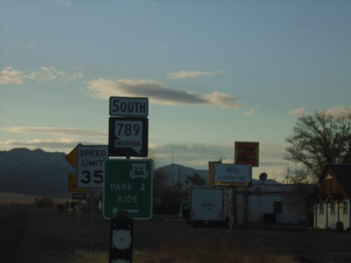
NV-789 South at I-80 East to Elko.

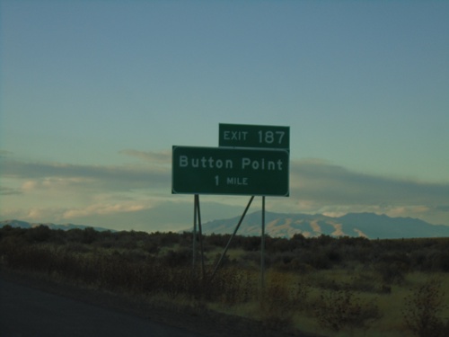
I-80 West - Exit 187

I-80 West - Exit 187

I-80 west approaching Exit 187 - Button Point

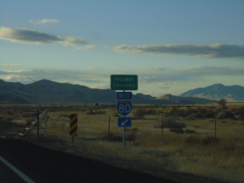
End NV-789 South at I-80 West

End NV-789 South at I-80 West

End NV-789 South at I-80 West (Exit 194).

NV-789 South - Golconda

NV-789 South - Golconda

NV-789 south in Golconda.

NV-789 North Approaching I-80 East

NV-789 North Approaching I-80 East

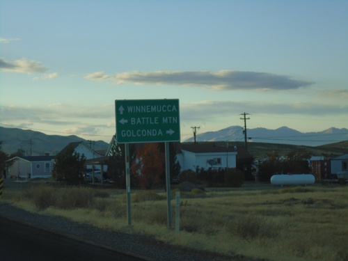
NV-789 North approaching I-80 East to Battle Mountain. Continue on NV-789 for I-80 West to Winnemucca; turn right for Golconda.

NV-789 South at I-80

NV-789 South at I-80

NV-789 South at I-80 junction.

NV-789 South - Golconda

NV-789 South - Golconda

NV-789 South in Golconda

NV-789 South - Entering Golconda

NV-789 South - Entering Golconda

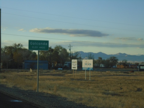
Entering Golconda on NV-789 South. Elevation 4400 Feet.

NV-789 - Golconda

NV-789 - Golconda

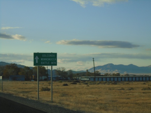
NV-789 approaching Golconda. Continue straight for Golconda, Winnemucca (via I-80 west) and Battle Mountain (via I-80 east).

Midas Road - Humboldt County

Midas Road - Humboldt County

Entering Humboldt County on Midas Road.

NV-789 - Postmile 6

NV-789 - Postmile 6

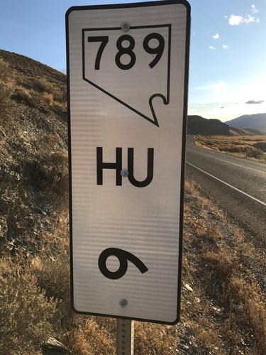
NV-789 - Humboldt County Postmile 6

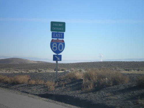
I-80 East Exit 205

I-80 East Exit 205

I-80 east approaching Exit 205 - Pumpernickel Valley

I-80 East Exit 203

I-80 East Exit 203

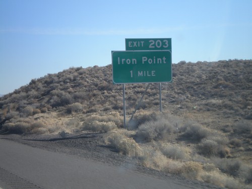
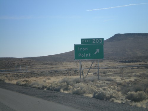
I-80 east approaching Exit 203 - Iron Point

I-80 East Exit 200 Onramp

I-80 East Exit 200 Onramp

I-80 east onramp at Exit 200 on Golconda Summit

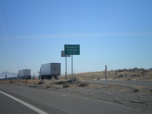
I-80 East - Golconda Summit

I-80 East - Golconda Summit

I-80 east at Golconda Summit - Elevation 5,159 Feet.

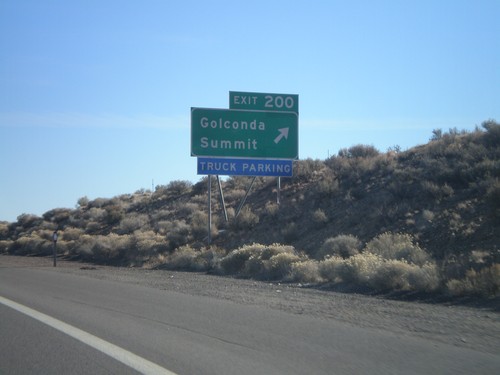
I-80 East Exit 200

I-80 East Exit 200

I-80 east at Exit 200 - Golconda Summit

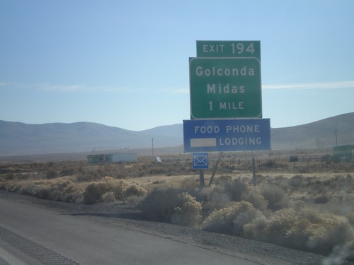
I-80 East Exit 194

I-80 East Exit 194

I-80 east approaching Exit 194 - Golconda/Midas

McDermitt

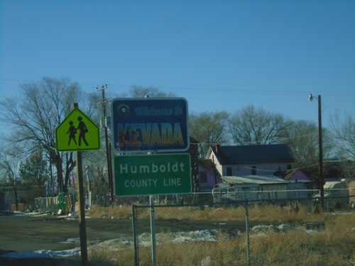
US-95 South - Welcome To Nevada

US-95 South - Welcome To Nevada

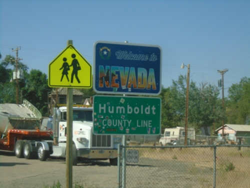
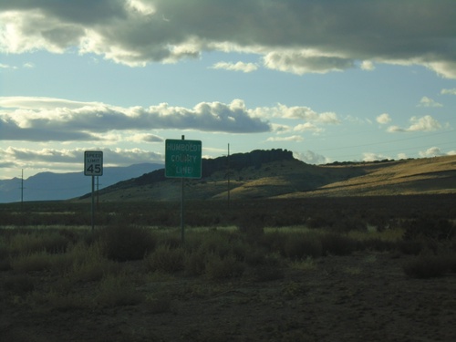
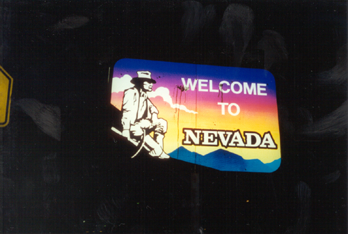
US-95 South - Welcome To Nevada / Humboldt County Line. Taken at the state line of Nevada and Oregon in McDermitt.
US-95 North - Entering McDermitt

US-95 North - Entering McDermitt

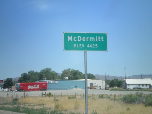
Entering McDermitt - Elevation 4425. McDermitt is located along the Nevada-Oregon border.

US-95 North - Entering Fort McDermitt Indian Reservation

US-95 North - Entering Fort McDermitt Indian Reservation

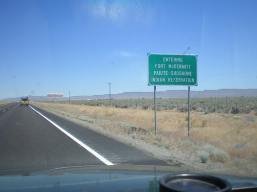
Entering Fort McDermitt Paiute-Shoshone Indian Reservation on US-95 north.

US-95 South - Welcome to Nevada

US-95 South - Welcome to Nevada

Welcome To Nevada on US-95 South at the Nevada-Oregon border.

Red House

I-80 East Onramp - Exit 203

I-80 East Onramp - Exit 203

I-80 East onramp - Exit 203 (Iron Point).

I-80 Exit 203 East Onramp

I-80 Exit 203 East Onramp

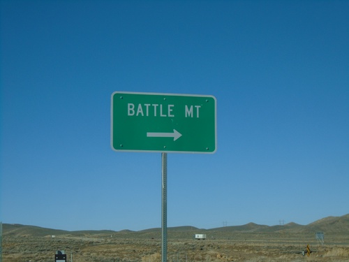
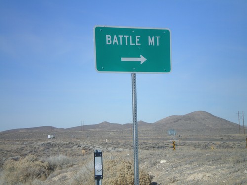
I-80 east onramp at Exit 203 to Battle Mountain

I-80 Exit 203 East Onramp

I-80 Exit 203 East Onramp

I-80 east onramp at Exit 203 to Battle Mountain

I-80 Exit 203 West Onramp

I-80 Exit 203 West Onramp

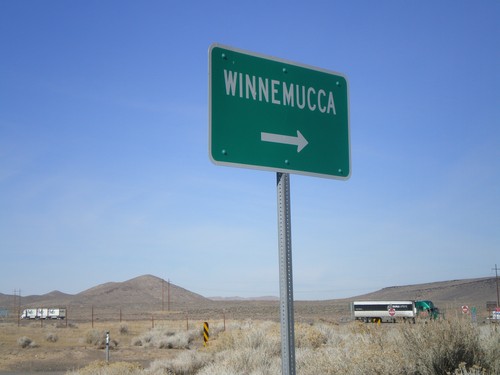
I-80 west onramp at Exit 203 to Winnemucca

I-80 East Exit 203

I-80 East Exit 203

I-80 east at Exit 203 - Iron Point

Sulphur

Jungo Road at Jackson Creek Ranch Road

Jungo Road at Jackson Creek Ranch Road

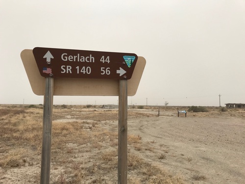
Jungo Road West at Jackson Creek Ranch Road. Use Jackson Creek Ranch Road north for NV-140; continue on Jungo Road west for Gerlach.

Valmy

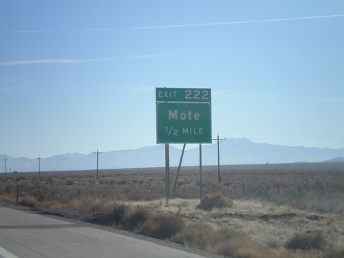
I-80 East - Exit 222

I-80 East - Exit 222

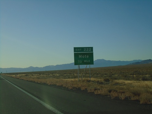
I-80 east approaching Exit 222 - Mote

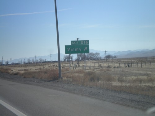
I-80 East - Exit 216

I-80 East - Exit 216

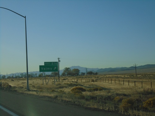
I-80 east at Exit 216 - Valmy

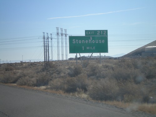
I-80 East - Exit 212

I-80 East - Exit 212

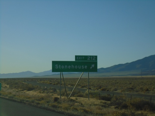
I-80 east at Exit 212 - Stonehouse.

I-80 East Exit 222

I-80 East Exit 222

I-80 east approaching Exit 222 - Mote

I-80 East Exit 216

I-80 East Exit 216

I-80 east at Exit 216 - Valmy

I-80 East Exit 216

I-80 East Exit 216

I-80 east approaching Exit 216 - Valmy

I-80 East Exit 212

I-80 East Exit 212

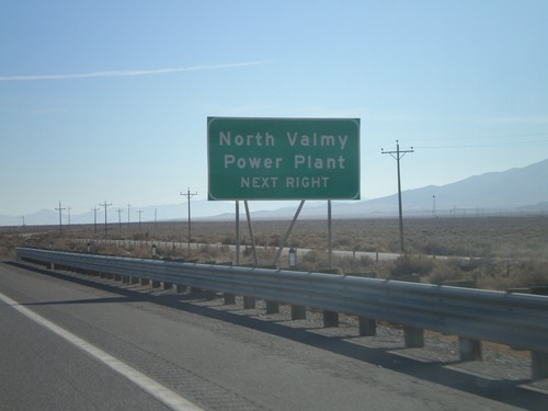
I-80 east approaching Exit 212. Use Exit 212 for North Valmy Power Plant.

I-80 East Exit 212

I-80 East Exit 212

I-80 east approaching Exit 212 - Stonehouse

Winnemucca

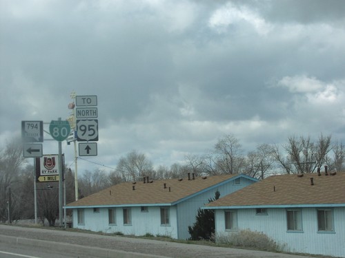
NV-794 East at I-80 East

NV-794 East at I-80 East

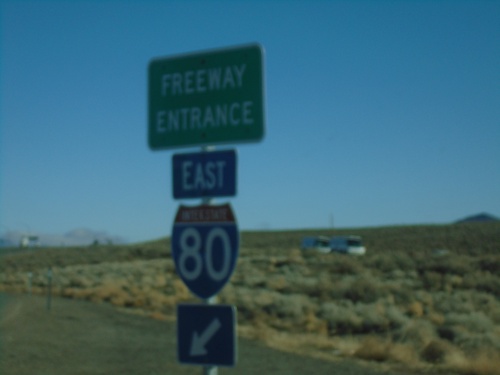
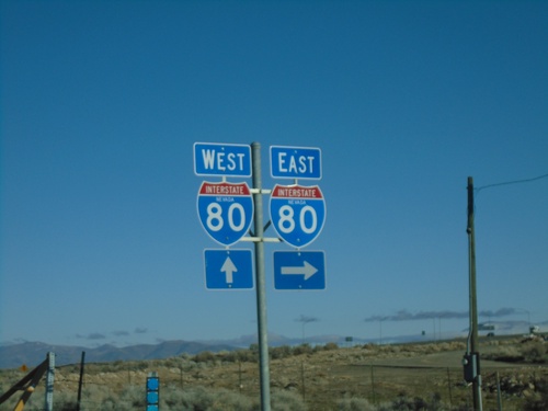
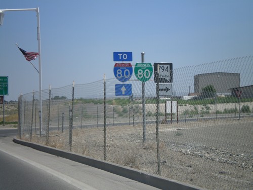
NV-794 East at I-80 East (Exit 180)

NV-794 East at I-80

NV-794 East at I-80

NV-794 East at I-80 (Exit 180)

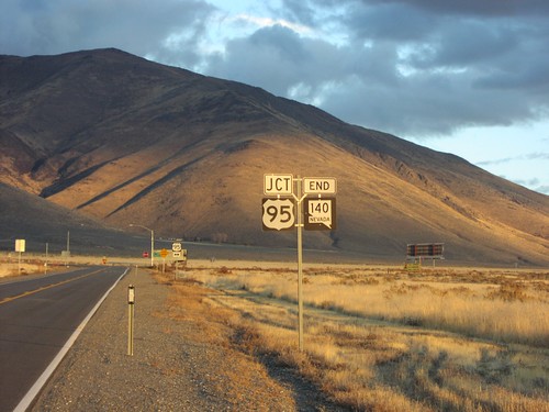
End NV-140 East at US-95

End NV-140 East at US-95

End NV-140 East at US-95. Use US-95 north for McDermitt; US-95 south for Winnemucca.
End NV-140 East at US-95

End NV-140 East at US-95

End NV-140 at US-95 in Humboldt County.

NV-140 - Mile 1

NV-140 - Mile 1

NV-140 - Mile 1 in Humboldt (HU) County

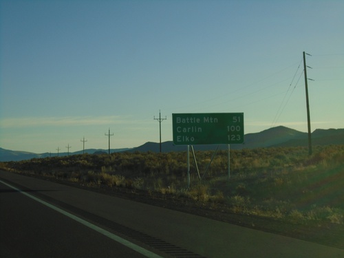
I-80 East - Distance Marker

I-80 East - Distance Marker

Distance marker on I-80 west. Distance to Battle Mountain, Carlin, and Elko.
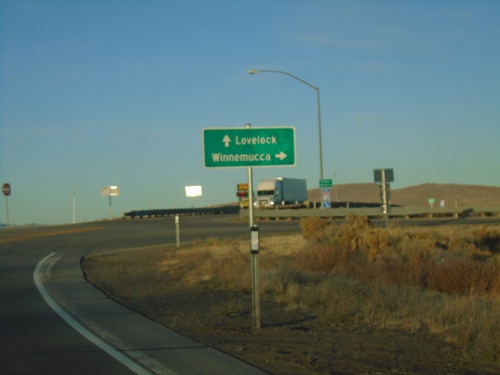
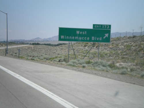
Winnemucca Blvd. at I-80 West

Winnemucca Blvd. at I-80 West

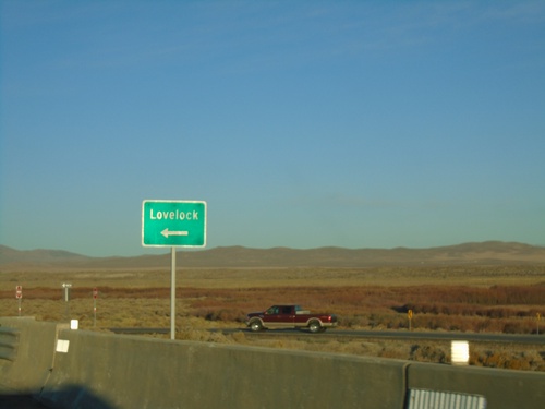
Winnemucca Blvd. at I-80 West to Lovelock (Exit 173).

Winnemucca Blvd. West at I-80 (Exit 173)

Winnemucca Blvd. West at I-80 (Exit 173)

Winnemucca Blvd. West at I-80 (Exit 173). Use I-80 West for Lovelock; I-80 East for Winnemucca.
NV-796 South - Winnemucca

NV-796 South - Winnemucca

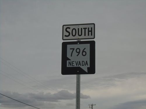
NV-796 South (Airport Road) in Winnemucca.

Rose Creek Road West at NV-796

Rose Creek Road West at NV-796

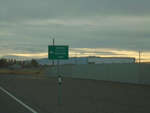
Rose Creek Road West at NV-796 to Airport and Industrial Park.

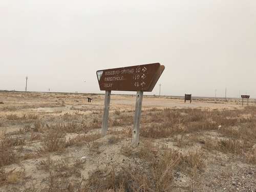
Jungo Road at County Road

Jungo Road at County Road

Jungo Road at County Road south to Imlay, Rabbithole, and Rosebud Spring. Taken in the ghost town of Sulphur.
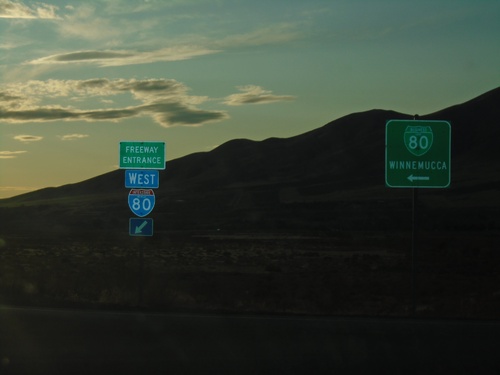
I-80 West - Exit 180 at BL-80/NV-794

I-80 West - Exit 180 at BL-80/NV-794

I-80 West (Exit 180) offramp at BL-80/NV-794. Turn left for BL-80/NV-794 to Winnemucca.
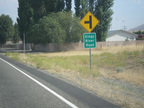
US-95 North at Kings River Jct. (NV-293)

US-95 North at Kings River Jct. (NV-293)

US-95 north at NV-293 west to Kings River. There is no mention of NV-293 at this junction, although in the past there have been. There are no NV-293 guide signs approaching this junction from either direction. Must Nevada junctions have advanced signage with proper route shields.
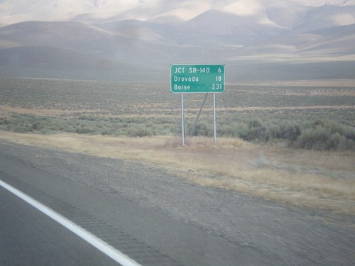
US-95 North - Distance Marker

US-95 North - Distance Marker

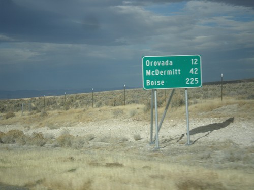
Distance marker on US-95 north. Distance to Jct. SR-140, Orovada, and Boise (Idaho).
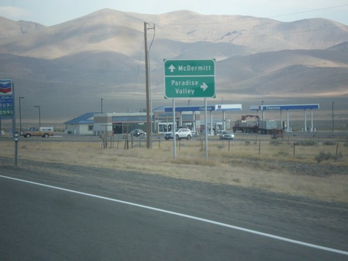
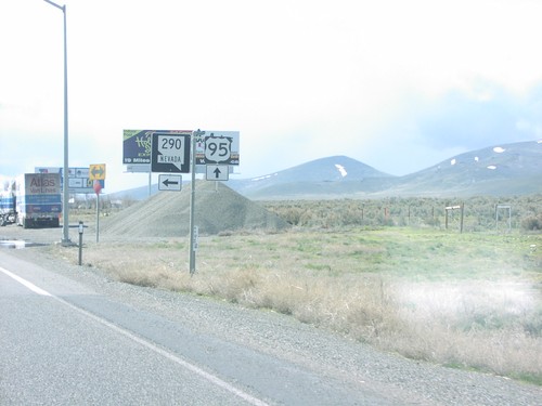
US-95 North At NV-290 North

US-95 North At NV-290 North

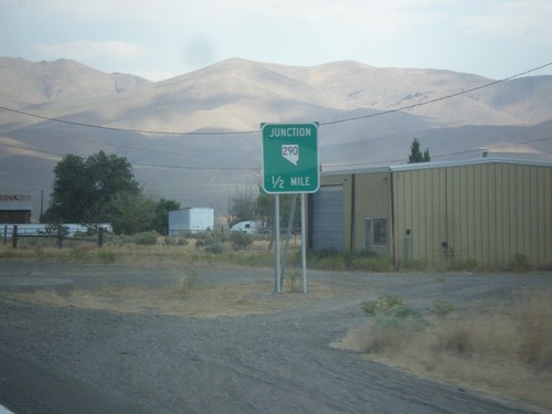
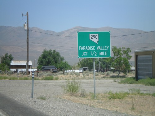
US-95 north at NV-290 north to Paradise Valley. Continue north on US-95 for McDermitt.
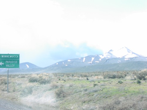
US-95 North Approaching NV-290

US-95 North Approaching NV-290

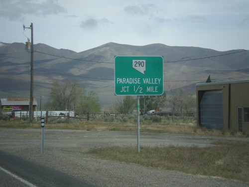
US-95 north approaching NV-290 to Paradise Valley.

BL-80/NV-794 East at Haskell St.

BL-80/NV-794 East at Haskell St.

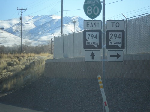
BL-80/NV-794 East (Winnemucca Blvd.) at Haskell St. to NV-294

US-95 North - Orovada

US-95 North - Orovada

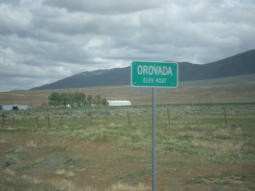
Orovada - Elevation 4337 on US-95 north.

US-95 North - Paradise Summit

US-95 North - Paradise Summit

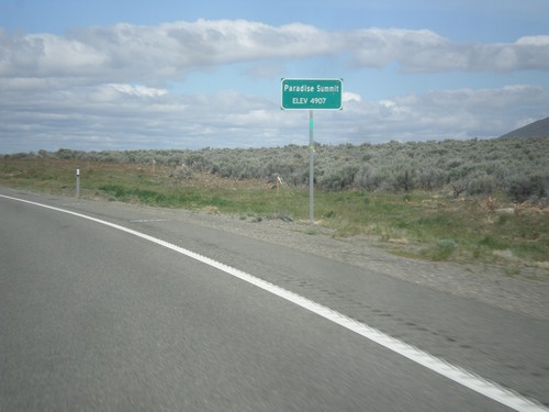
Paradise Summit - Elevation 4907 Feet on US-95 North.

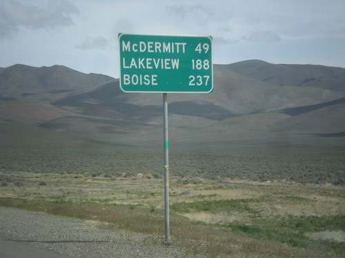
US-95 North - Distance Marker

US-95 North - Distance Marker

Distance marker on US-95 north. Distance to McDermit, Lakeview (Oregon - via NV-140), and Boise (Idaho).
US-95 North Approaching NV-290

US-95 North Approaching NV-290

US-95 north approaching NV-290 to Paradise Valley.

NV-787 North

NV-787 North

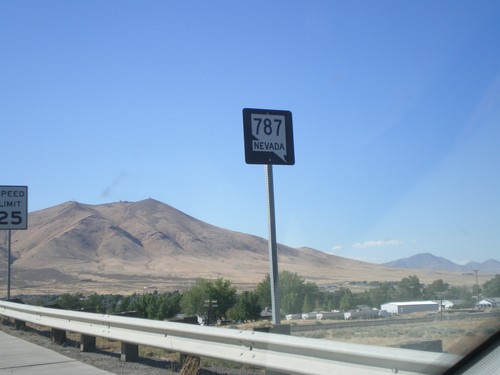
NV-787 North (Hanson St.) in Winnemucca. NV-787 is a short state highway that connects NV-294 with Winnemucca Blvd. (BL-80 and US-95). There appears to only be one shield along the entire length of the road.
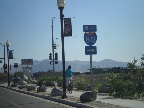
NV-294 South at NV-787

NV-294 South at NV-787

NV-294 South at NV-787 (Hanson St.) NV-787 is not signed at this intersection, and is instead signed as to I-80 (via Winnemucca Blvd.).
NV-294 North

NV-294 North

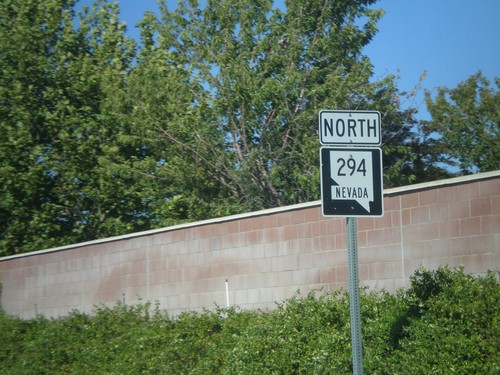
NV-294 North (Grass Valley Road) in Winnemucca.

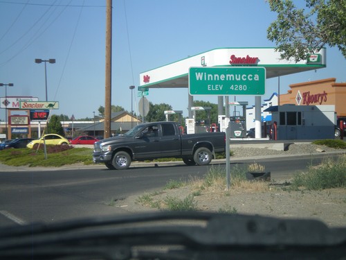
Winnemucca - Elevation 4280

Winnemucca - Elevation 4280

Entering Winnemucca - Elevation 4280 on NV-294 North (Grass Valley Road).
NV-294 South - Grass Valley Road

NV-294 South - Grass Valley Road

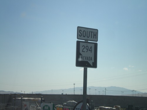
NV-294 South (Grass Valley Road) in Winnemucca.

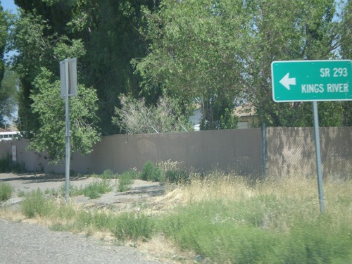
NV-293 West - Orovada

NV-293 West - Orovada

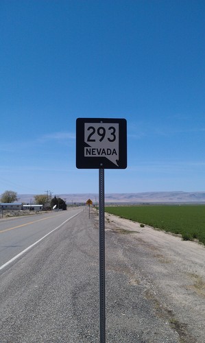
NV-293 west in Orovada.

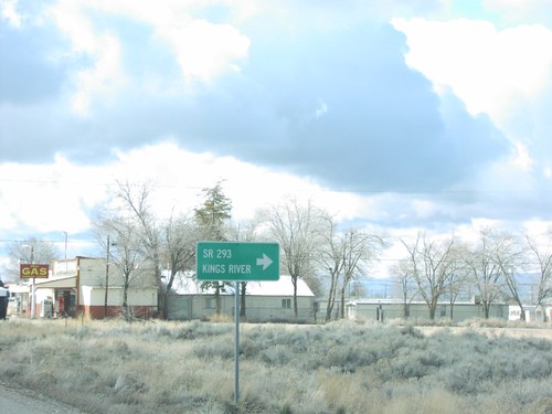
US-95 North at NV-293

US-95 North at NV-293

US-95 north at NV-293 west to Kings River. The only mention of NV-293 is the text on the destination sign "SR-293." There are no NV-293 guide signs approaching this junction from either direction. Must Nevada junctions have advanced signage with proper route shields.
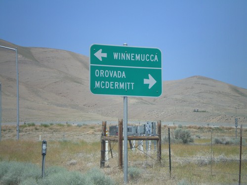
US-95 North Approaching NV-290

US-95 North Approaching NV-290

US-95 north at NV-290 north to Paradise Valley.

US-95 North at NV-290

US-95 North at NV-290

US-95 north approaching NV-290 to Paradise Valley.

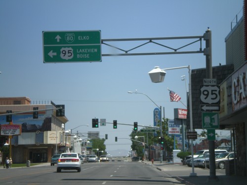
End NV-795 West at US-95

End NV-795 West at US-95

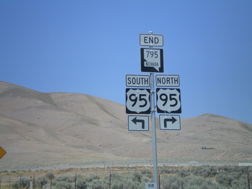
End NV-795 west at US-95 north to Orovada and McDermitt, and US-95 south to Winnemucca.
End NV-795 West at US-95

End NV-795 West at US-95

End NV-795 west at US-95.

NV-795 West to US-95

NV-795 West to US-95

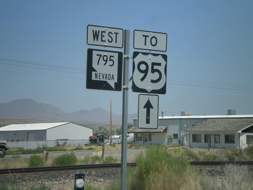
NV-795 west to US-95.

End NV-289 at NV-795 to US-95

End NV-289 at NV-795 to US-95

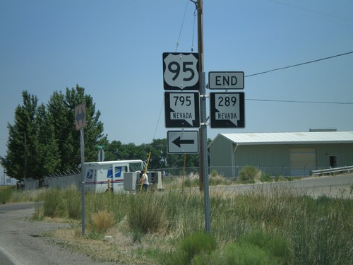
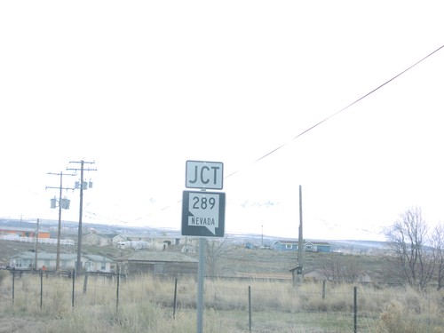
End NV-289 east at NV-795 to US-95.

NV-289 Approaching NV-795

NV-289 Approaching NV-795

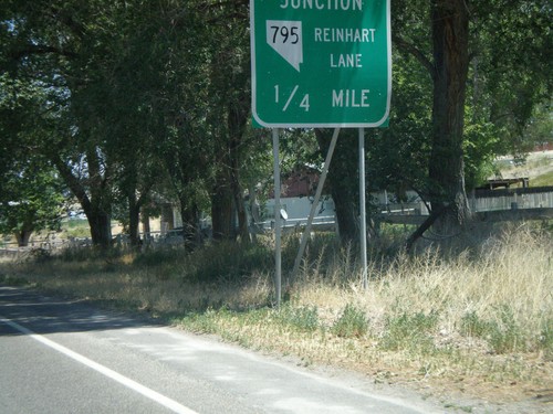
End NV-289 approaching NV-795/Reinhart Lane

BL-80/NV-289 at NV-794

BL-80/NV-289 at NV-794

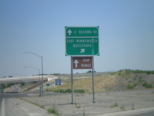
BL-80/NV-289 (E. Second St.) at NV-794 (East Winnemucca Blvd.)

BL-80/NV-289 East at NV-794

BL-80/NV-289 East at NV-794

BL-80/NV-289 east at NV-794. Continue on BL-80/NV-289 for I-80.

US-95 North/BL-80 in Winnemucca

US-95 North/BL-80 in Winnemucca

BL-80 East/US-95 North (Winnemucca Blvd.) at US-95 north Melarkey St. Continue straight for BL-80 to Elko. Turn left for US-95 to Lakeview (OR) and Boise(ID).
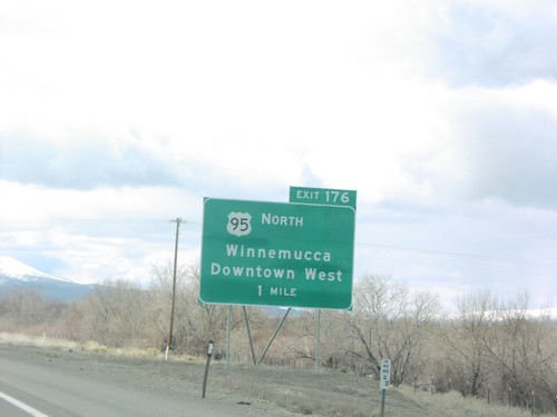
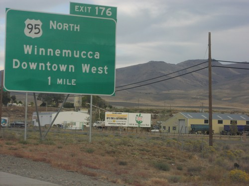
I-80 East Exit 176

I-80 East Exit 176

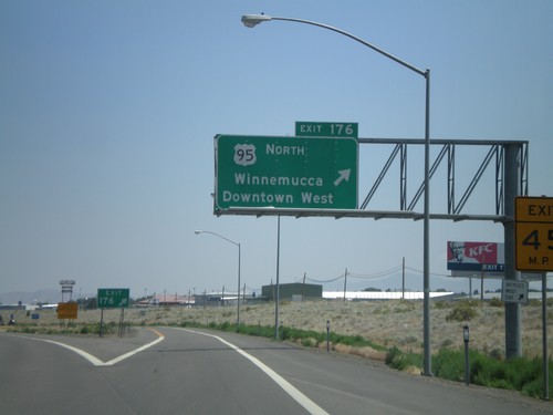
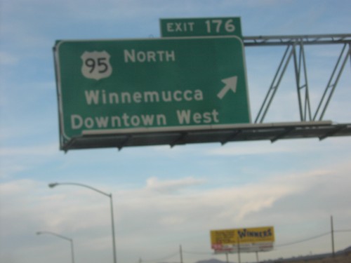
I-80 east at Exit 176 - US-95 North/Winnemucca/Downtown West

I-80 East Exit 173

I-80 East Exit 173

I-80 east at Exit 173 - West Winnemucca Blvd.

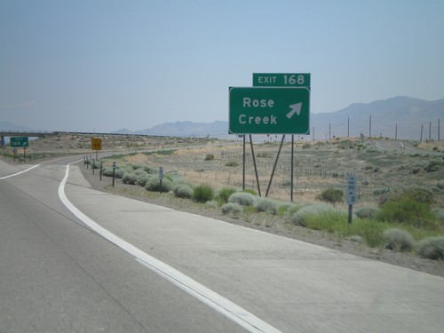
I-80 East Exit 168

I-80 East Exit 168

I-80 east at Exit 168 - Rose Creek

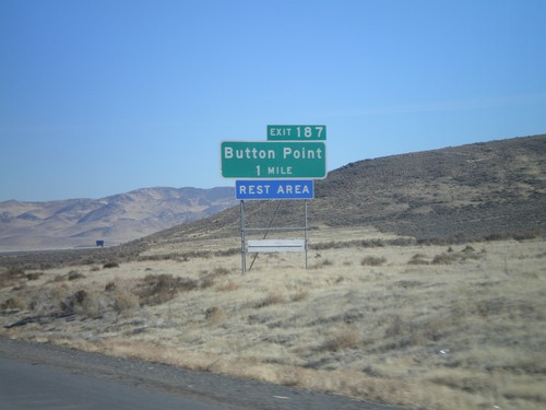
I-80 East Exit 187

I-80 East Exit 187

I-80 east approaching Exit 187 - Button Point

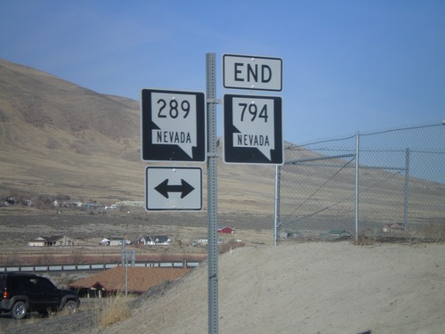
End NV-794 West at NV-289/BL-80

End NV-794 West at NV-289/BL-80

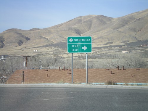
End NV-794 at NV-289/BL-80. Turn right on NV-289/BL-80 to Reno and Elko. Turn left for Winnemucca city center.
End NV-794 West at NV-289

End NV-794 West at NV-289

End NV-794 west at BL-80/NV-289

End NV-794 West at NV-289

End NV-794 West at NV-289

NV-794 east approaching BL-80/NV-289.

NV-794 West at I-80 East Exit 180 Onramp

NV-794 West at I-80 East Exit 180 Onramp

End NV-794 east at I-80 Exit 180 onramp

I-80 East Exit 180

I-80 East Exit 180

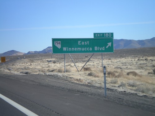
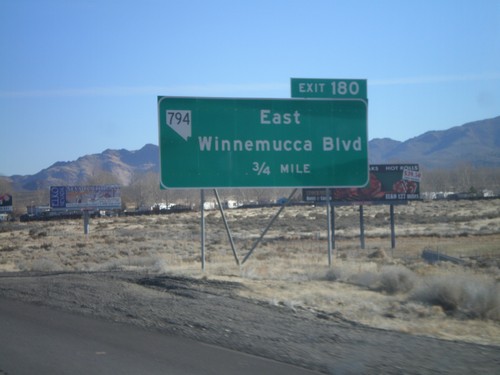
I-80 east at Exit 180 - NV-794/East Winnemucca Blvd.

I-80 East Exit 180

I-80 East Exit 180

I-80 west approaching Exit 180 - NV-764/East Winnemucca Blvd.

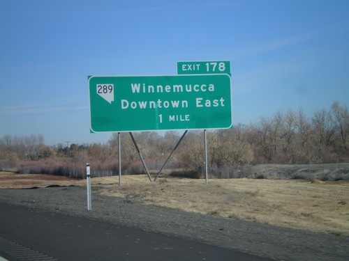
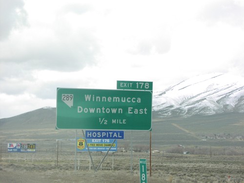
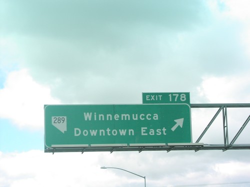
I-80 East Exit 178

I-80 East Exit 178

I-80 east approaching Exit 178 - NV-289/Winnemucca/Downtown East

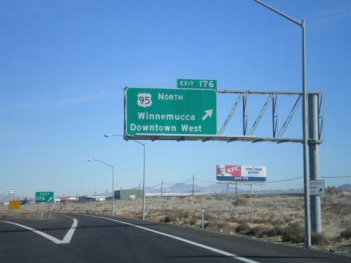
I-80 East Exit 176

I-80 East Exit 176

I-80 east at Exit 176 - US-95 North/Winnemucca/Downtown West

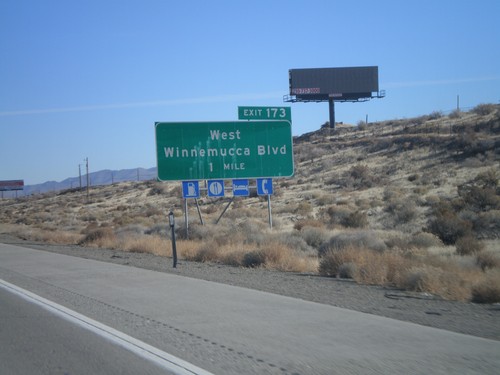
I-80 East Exit 173

I-80 East Exit 173

I-80 east approaching Exit 173 - West Winnemucca Blvd.

I-80 East Exit 168

I-80 East Exit 168

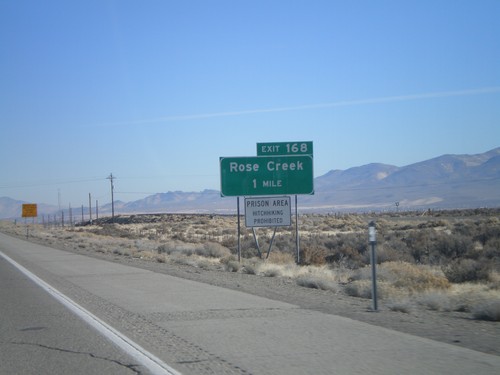
I-80 east approaching Exit 168 - Rose Creek. Prison Area - Hitchhiking Prohibited.
End NV-140 East at US-95

End NV-140 East at US-95

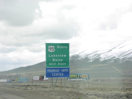
End NV-140 at US-95

US-95 South at NV-290

US-95 South at NV-290

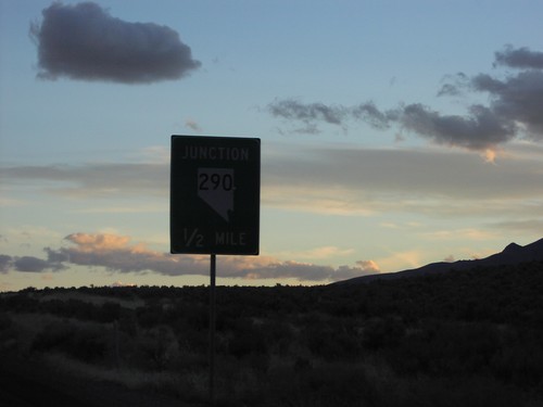
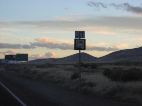
Junction NV-290 on US-95 south

US-95 South at NV-290

US-95 South at NV-290

Approaching NV-290 junction on US-95 south

BL-80 West at NV-794

BL-80 West at NV-794

NV-289 (BL-80) at NV-794 junction in Winnemucca.

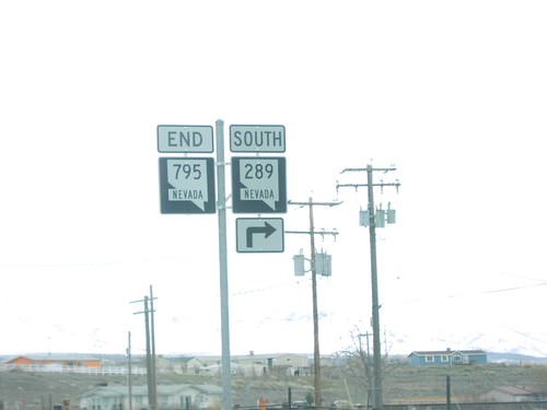
End NV-795 East at NV-289

End NV-795 East at NV-289

End of NV-795 east at NV-289 in Winnemucca.

I-80 West Exit 176

I-80 West Exit 176

I-80 west approaching US-95 north, Exit 176 in Winnemucca.

I-80 West Exit 178

I-80 West Exit 178

I-80 west approaching NV-289, Exit 178 in Winnemucca.

I-80 West Exit 178

I-80 West Exit 178

I-80 west at NV-289, Exit 178 in Winnemucca.

I-80 West Exit 178

I-80 West Exit 178

I-80 west approaching Exit 178. Use Exit 178 for US-95 North to Lakeview (Oregon) and Boise (Idaho).
I-80 West Exit 180 at BL-80

I-80 West Exit 180 at BL-80

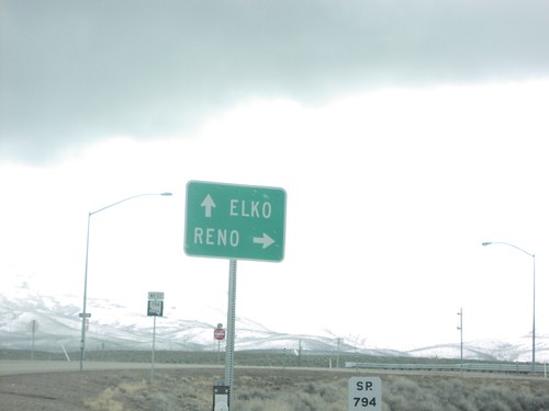
BL-80 (NV-794) to Winnemucca at I-80 junction in Winnemucca.

Jct. NV-289 on NV-795 East

Jct. NV-289 on NV-795 East

Jct. NV-289 on NV-795 east in Winnemucca.

NV-289 at I-80 West Exit 178

NV-289 at I-80 West Exit 178

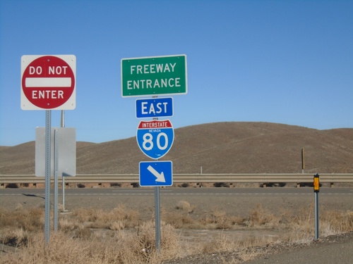
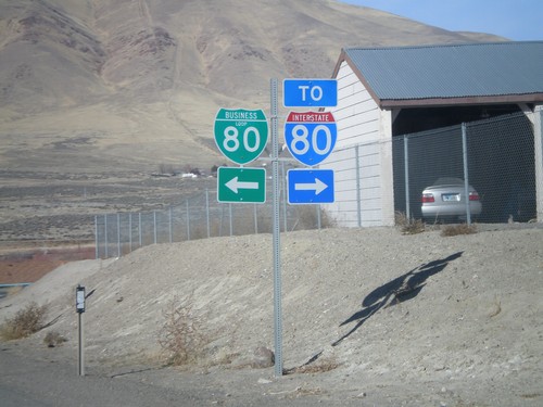
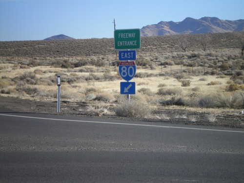
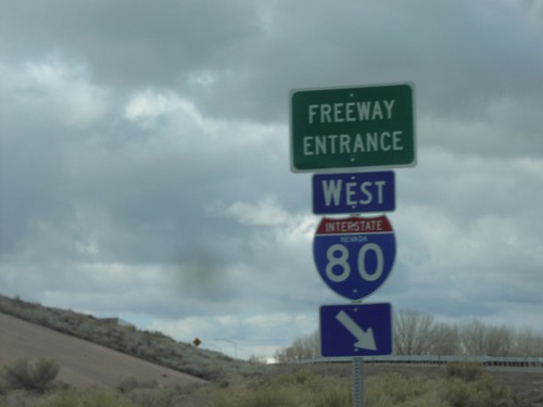
NV-289 at I-80 Exit 178 freeway entrance in Winnemucca.

NV-794 at I-80 Exit 180 to Elko and Reno

NV-794 at I-80 Exit 180 to Elko and Reno

NV-794 at I-80 junction to Elko and Reno at the eastern edge of the Winnemucca business loop.
NV-794 West

NV-794 West

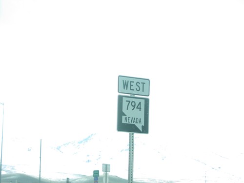
Beginning of NV-794 at I-80 junction in Winnemucca.

NV-795 East at To NV-289

NV-795 East at To NV-289

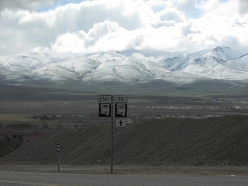
NV-795 to NV-289 just east of US-95 in Winnemucca.

US-95 South - Distance Marker

US-95 South - Distance Marker

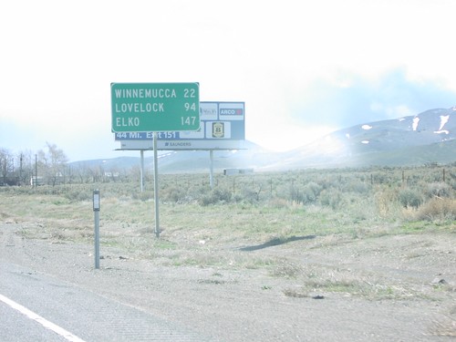
Distance marker to Winnemucca, Lovelock, and Elko on US-95 south in Humboldt County.

US-95 South at NV-290

US-95 South at NV-290

US-95/NV-290 shields in Humboldt County.

US-95 South at NV-290 to Paradise Valley

US-95 South at NV-290 to Paradise Valley

US-95 south at NV-290 to Paradise Valley in Humboldt County.

US-95 South at NV-293

US-95 South at NV-293

US-95 south at NV-293 to Kings Valley in Orovada.

I-80 East Exit 176

I-80 East Exit 176

Approaching Exit 176 on I-80 East US-95/Winnemucca/Downtown West

I-80 East Exit 176

I-80 East Exit 176

I-80 east Exit 176 - US-95 North/Winnemucca/Downtown West

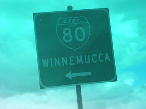
I-80 East Exit 176 - I-80 Bus. Loop

I-80 East Exit 176 - I-80 Bus. Loop

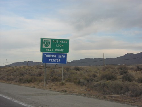
Approaching BL-80 on I-80 east

I-80 East Exit 176 Offramp

I-80 East Exit 176 Offramp

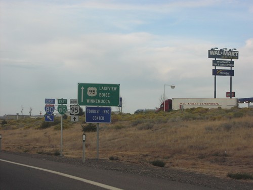
Offramp at I-80 Exit 176 - US-95 North To Lakeview/Boise/Winnemucca.

No Place Associated

US-95 North - Distance Marker

US-95 North - Distance Marker

Distance marker on US-95 north. Distance to Orovada, McDermitt, and Boise (Idaho).
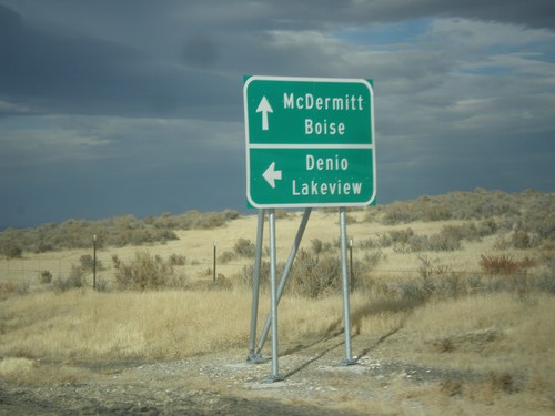
US-95 North at NV-140 West

US-95 North at NV-140 West

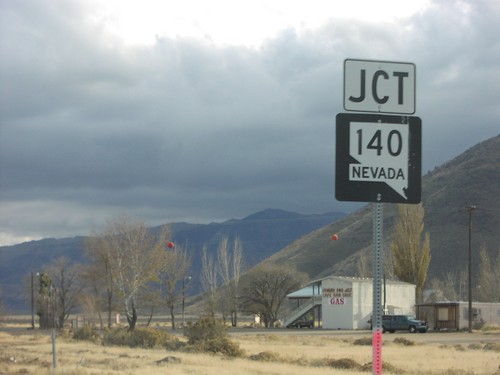
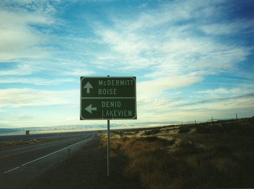
US-95 north at NV-140 west to Denio and Lakeview (Oregon). Continue north on US-95 for McDermitt (Nevada-Oregon State Line) and Boise (Idaho).
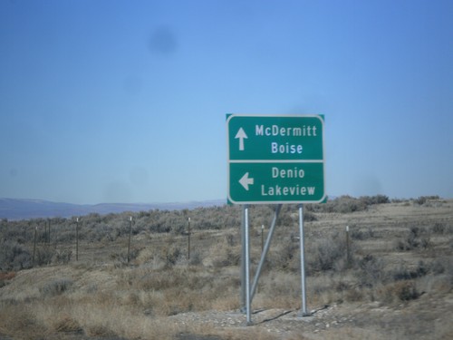
US-95 North at NV-140 West

US-95 North at NV-140 West

US-95 north at NV-140 west to Denio and Lakeview (Oregon). Continue north on US-95 for McDermitt (Nevada-Oregon State Line) and Boise (Idaho).
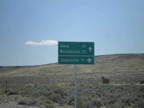
US-95 North at NV-140 West

US-95 North at NV-140 West

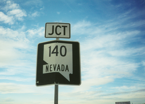
Junction NV-140 on US-95 north in Humboldt County.

NV-140 East - Sheldon National Wildlife Refuge Jct.

NV-140 East - Sheldon National Wildlife Refuge Jct.

NV-140 east at junction to Sheldon National Wildlife Refuge and Cedarville (California). Continue east on NV-140 for Denio and Winnemucca.
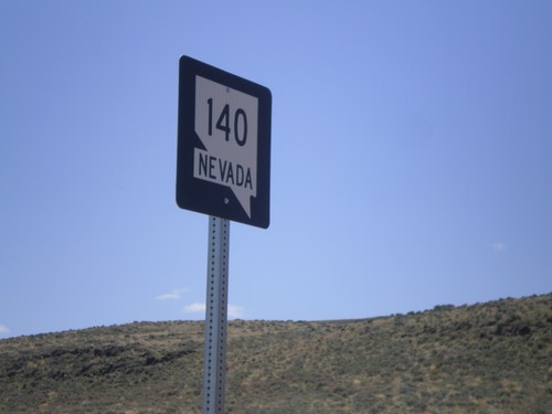
NV-140 East - Sage Hen Hills Summit

NV-140 East - Sage Hen Hills Summit

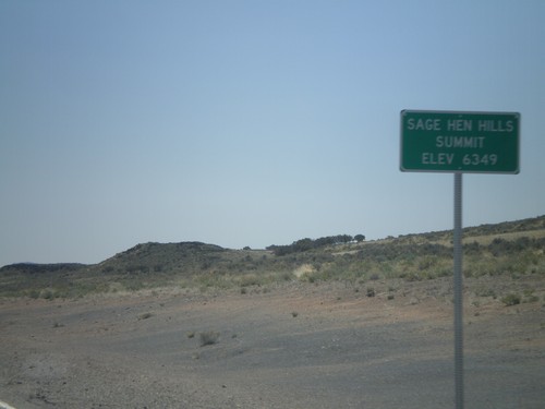
NV-140 east -Sage Hen Hills Summit - Elevation 6,349 Feet.

NV-140 East - Humboldt County

NV-140 East - Humboldt County

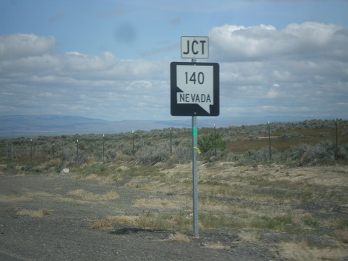
NV-140 east in Humboldt County. This is the first shield on NV-140 east in Nevada.
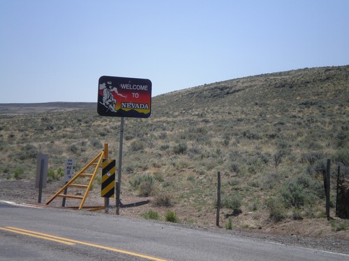
NV-140 East - Welcome To Nevada

NV-140 East - Welcome To Nevada

Welcome to Nevada on NV-140 east. Taken at the Oregon-Nevada state line.
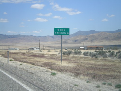
End NV-8A at NV-140

End NV-8A at NV-140

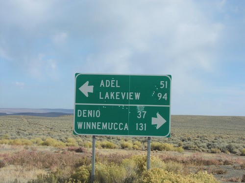
End NV-8A at NV-140. NV-140 west to Adel and Lakeview; east to Denio and Winnemucca.
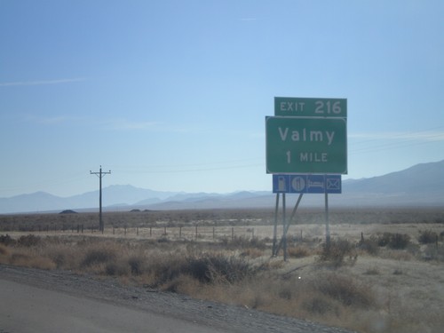
US-95 North at NV-140

US-95 North at NV-140

US-95 north to McDermitt and Boise at NV-140 west to Denio and Lakeview.

US-95 North at NV-140 West

US-95 North at NV-140 West

Junction NV-140 on US-95 North

US-95 South at NV-140

US-95 South at NV-140

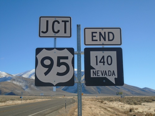
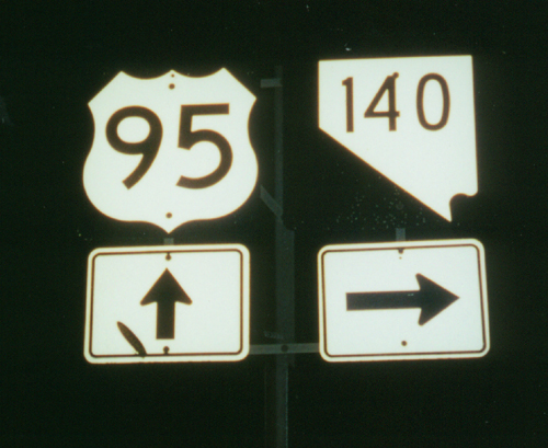
US-95 south at NV-140. This Nevada state route shield does not contain the word "Nevada."