Javascript Is Required To Use This Page

Lincoln County, Nevada

Localities: Alamo | Caliente | Crystal Springs | Hiko | Moapa | Modena | Panaca | Pioche

Alamo

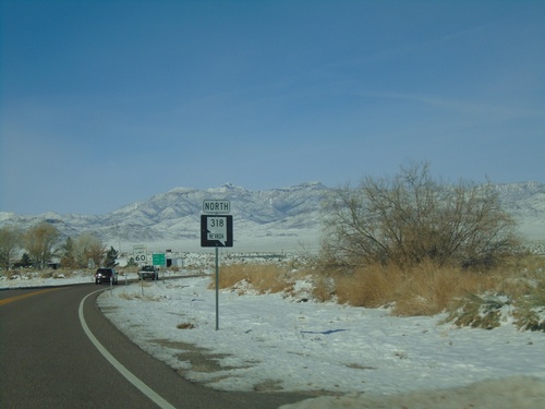
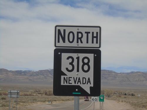
NV-318 North - Lincoln County

NV-318 North - Lincoln County

NV-318 north in Lincoln County

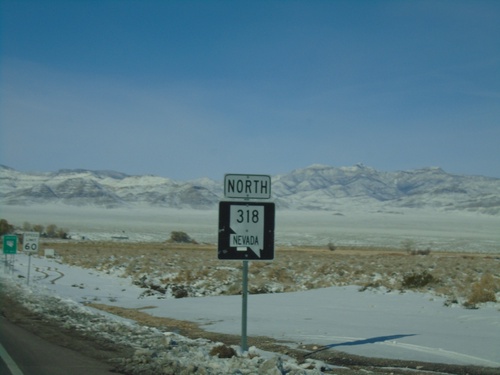
NV-318 North - Lincoln County

NV-318 North - Lincoln County

NV-318 north in Lincoln County

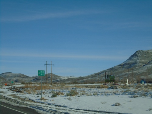
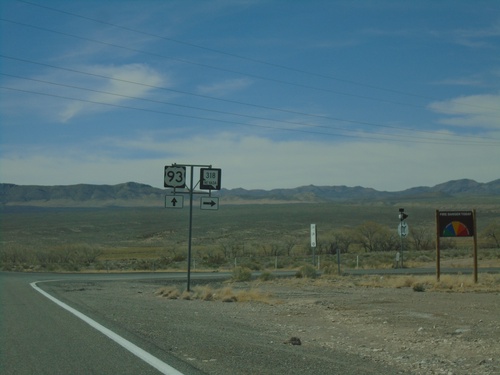
US-93 North Approaching NV-318/To NV-375

US-93 North Approaching NV-318/To NV-375

US-93 North approaching NV-318/To NV-375 in Lincoln County. The route numbers are written out in text as SR-318 and SR-375

US-93 North Approaching NV-318

US-93 North Approaching NV-318

US-93 North approaching NV-318 in Lincoln County

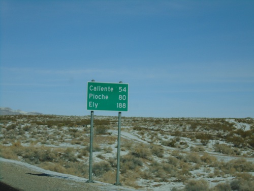
US-93 North - Distance Marker

US-93 North - Distance Marker

Distance marker on US-93 north. Distance to Caliente, Pioche, and Ely.

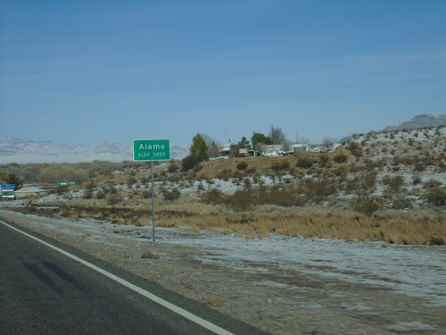
US-93 North - Alamo

US-93 North - Alamo

Entering Alamo on US-93 north. Elevation 3450 Feet.

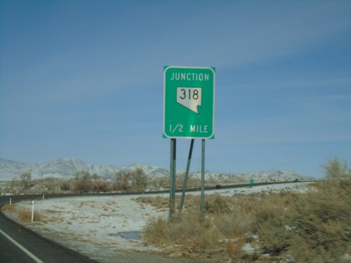
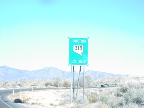
US-93 North NV-318 Jct.

US-93 North NV-318 Jct.

US-93 north approaching NV-318, 1 mile.

Caliente

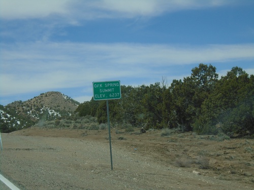
US-93 South - Oak Spring Summit

US-93 South - Oak Spring Summit

Oak Spring Summit - Elevation 6237 Feet on US-93 south.

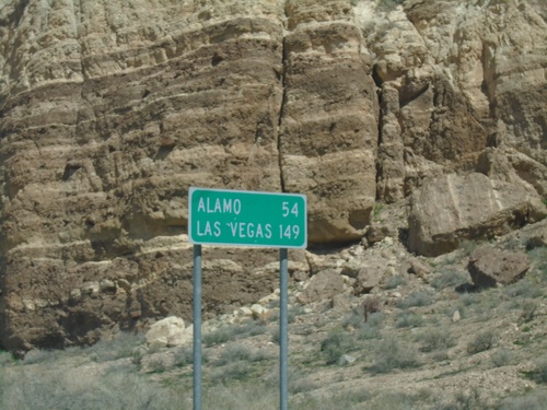
US-93 South - Distance Marker

US-93 South - Distance Marker

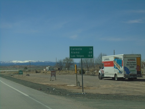
Distance marker on US-93 south. Distance to Alamo and Las Vegas.

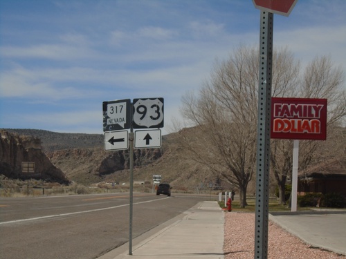
US-93 South at NV-317

US-93 South at NV-317

US-93 South at NV-317 in Caliente.

US-93 South approaching NV-317 - Caliente

US-93 South approaching NV-317 - Caliente

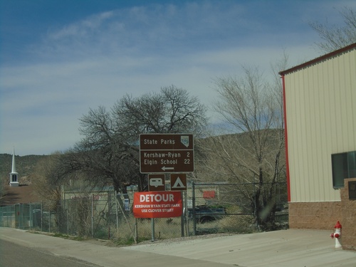
US-93 South approaching NV-317 south to Kershaw-Ryan State Park and Elgin School State Park.

US-93 South - Caliente

US-93 South - Caliente

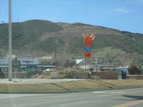
US-93 south in Caliente. Turn right to continue south on US-93 and to follow truck detour for I-15 south.

US-93 South - Caliente

US-93 South - Caliente

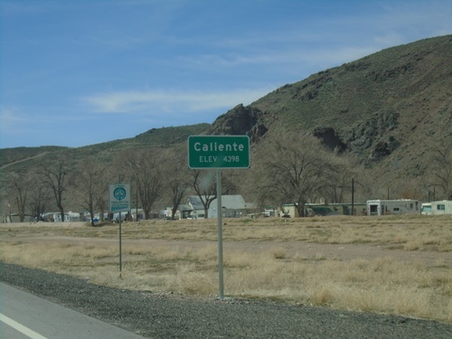
Entering Caliente - Elevation 4398 Feet on US-93 south.

US-93 North - Pahranagat Valley

US-93 North - Pahranagat Valley

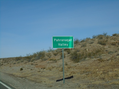
Entering the Pahranagat Valley on US-93 north.

Crystal Springs

NV-318 North Approaching NV-375

NV-318 North Approaching NV-375

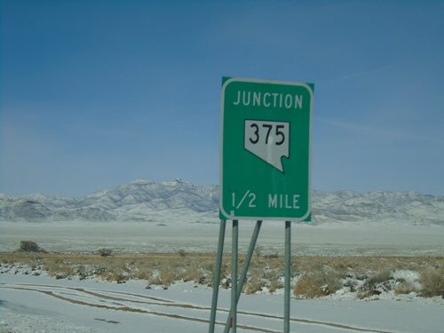
NV-318 North approaching NV-375 in Lincoln County.

Hiko

NV-318 North at NV-375

NV-318 North at NV-375

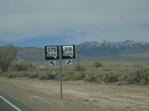
NV-318 North at NV-375 in Lincoln County. Merge left for NV-375 North; merge right for NV-318 North.
US-93 South at NV-318

US-93 South at NV-318

US-93 South at NV-318 in Lincoln County.

US-93 South at NV-318

US-93 South at NV-318

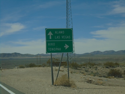
US-93 South at NV-318 in Lincoln County. Continue south on US-93 for Alamo and Las Vegas. Turn right for NV-318 north to Hiko and Tonopah (via NV-375).
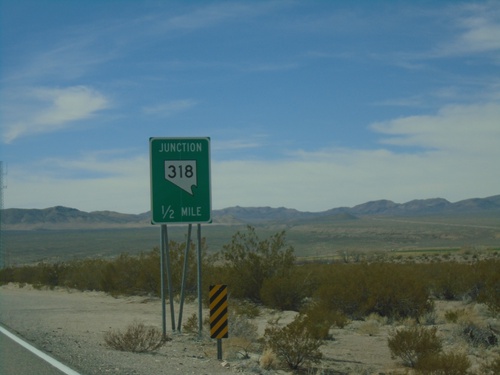
US-93 South Approaching NV-318

US-93 South Approaching NV-318

US-93 South approaching NV-318 in Lincoln County.

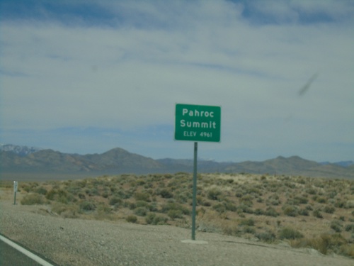
US-93 South - Pahroc Summit

US-93 South - Pahroc Summit

Pahroc Summit - Elevation 4961 Feet on US-93 South.

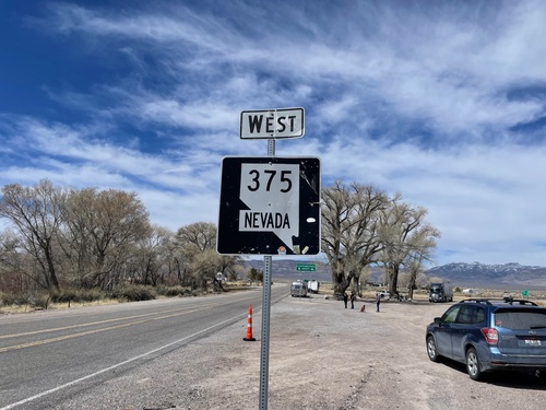
NV-375 West- Extraterrestrial Highway

NV-375 West- Extraterrestrial Highway

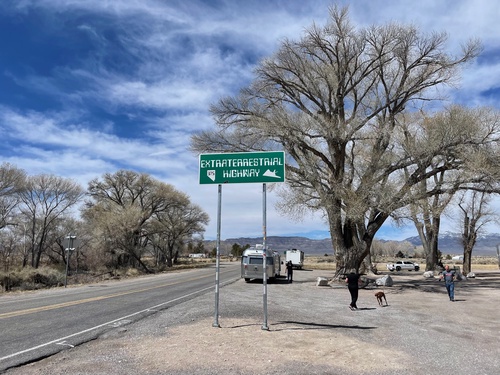
NV-375 West- Extraterrestrial Highway. The highway sign is posted very high, so that no one can deface it with stickers, or steal it.
NV-375 West - Lincoln County

NV-375 West - Lincoln County

NV-375 west in Lincoln County.

NV-318 North at NV-375

NV-318 North at NV-375

NV-318 North at NV-375 junction near Hiko.

NV-318 North - Lincoln County

NV-318 North - Lincoln County

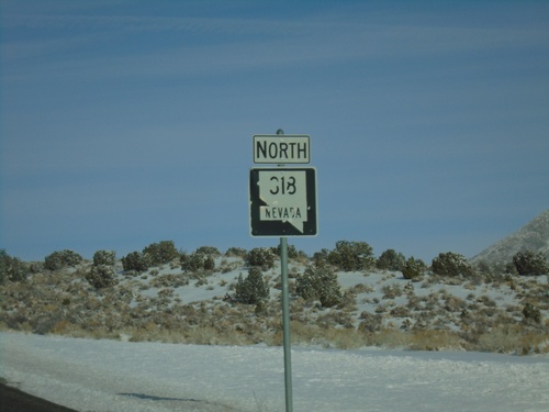
NV-318 North in Lincoln County

NV-318 North - Hiko

NV-318 North - Hiko

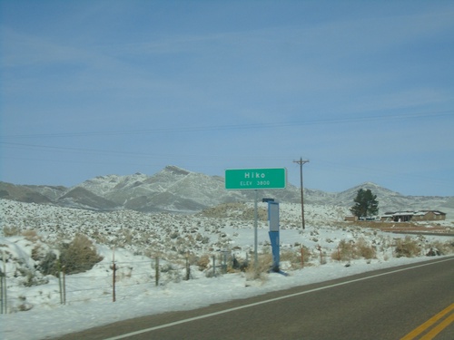
Entering Hiko on NV-318 north. Elevation 3800.

NV-318 North - Distance Marker

NV-318 North - Distance Marker

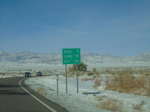
Distance marker on NV-318 north. Distance to Hiko, Lund, and Ely.

NV-318 North - Lincoln County

NV-318 North - Lincoln County

NV-318 north in Lincoln County.

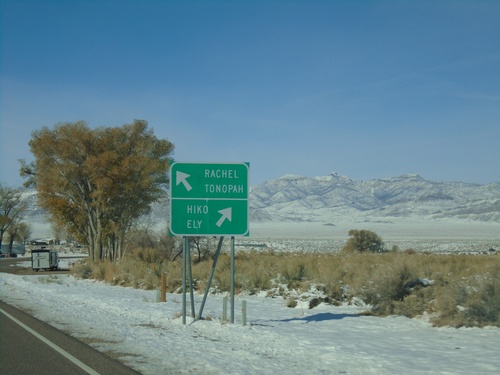
NV-318 North at NV-375

NV-318 North at NV-375

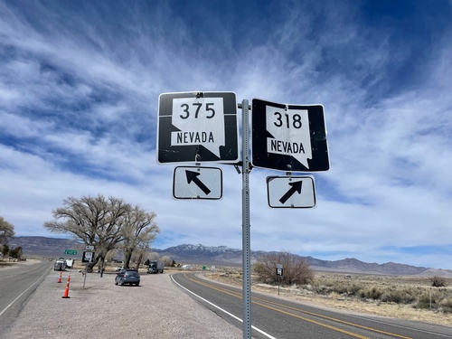
NV-318 North at NV-375. Merge right for NV-318 north to Hiko and Ely; merge left for NV-375 north to Rachel and Tonopah. This is the start of the Extraterrestrial Highway on NV-375 north.
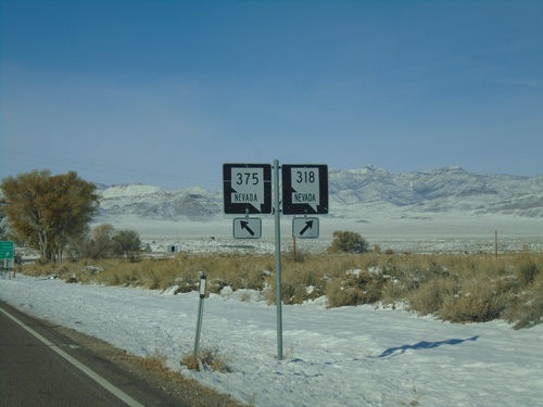
NV-318 North at NV-375

NV-318 North at NV-375

NV-318 North at NV-375 in Lincoln County. Merge left for NV-375 North; merge right for NV-318 North.

US-93 North NV-318 Jct.

US-93 North NV-318 Jct.

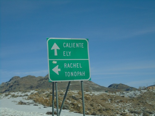
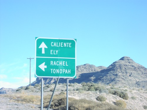
US-93 north at NV-318 junction to Rachel and Tonopah (via NV-375). Continue north on US-93 for Caliente and Ely.

US-93 North - Ash Springs

US-93 North - Ash Springs

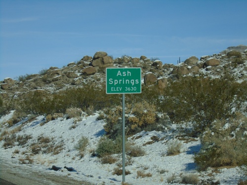
Entering Ash Springs - Elevation 3630 on US-93 north.

US-93 North NV-318 Jct.

US-93 North NV-318 Jct.

US-93 north at NV-318 junction to Rachel and Tonopah.

Moapa

US-93 North - Lincoln County

US-93 North - Lincoln County

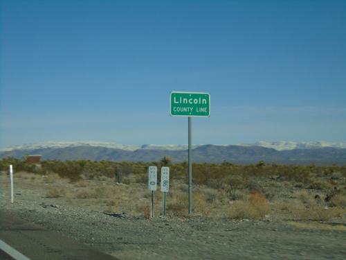
Lincoln County Line on US-93 north.

Modena

Welcome To Nevada

Welcome To Nevada

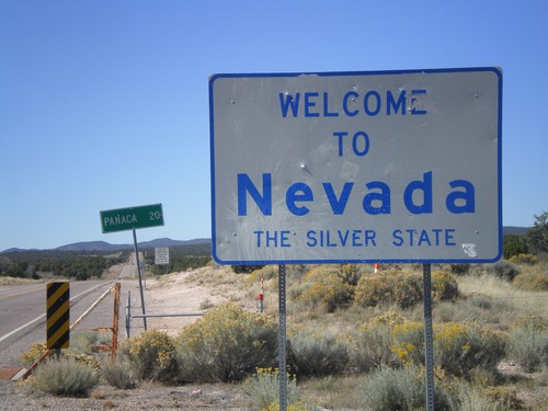
Welcome to Nevada - The Silver State on NV-319 west. Taken at the Utah-Nevada State Line.

Panaca

US-93 South - Distance Marker

US-93 South - Distance Marker

Distance marker on US-93 south. Distance to Caliente, Alamo, and Las Vegas.
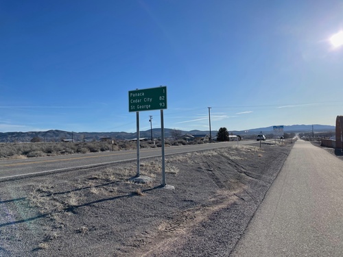
NV-319 East - Distance Marker

NV-319 East - Distance Marker

Distance marker on NV-319 east. Distance to Panaca, Cedar City (Utah) and St. George (Utah).
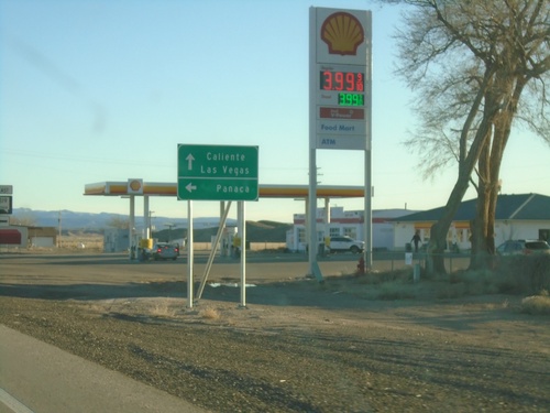
Milepost on US-93 - Panaca

Milepost on US-93 - Panaca

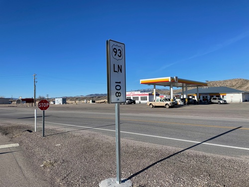
Milepost 108 on US-93 in Lincoln (LN) County Nevada.

US-93 North - Panaca

US-93 North - Panaca

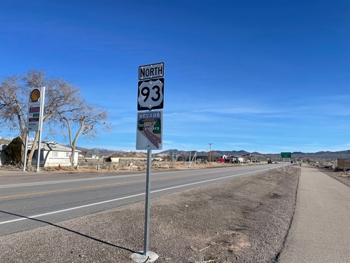
US-93 north in Panaca. US-93 is designed a scenic byway.

US-93 South at NV-319 East

US-93 South at NV-319 East

US-93 South at NV-319 East to Panaca. Continue south on US-93 to Caliente and Las Vegas.

US-93 South Approaching NV-319

US-93 South Approaching NV-319

US-93 South approaching NV-319 to Panaca.

End NV-319 West at US-93

End NV-319 West at US-93

End NV-319 west at US-93.

End NV-319 West at US-93

End NV-319 West at US-93

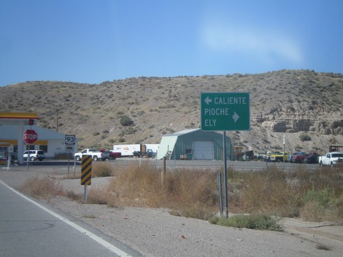
End NV-319 west at US-93. Use US-93 north for Pioche and Ely. Use US-93 south for Caliente.

End NV-319 West at US-93

End NV-319 West at US-93

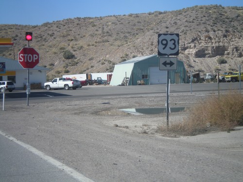
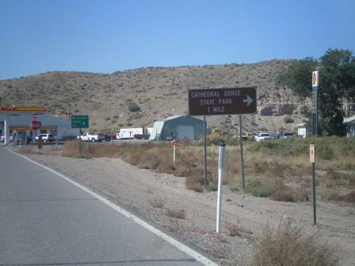
End NV-319 west at US-93. Use US-93 north for Cathedral Gorge State Park.

End NV-319 West at US-93

End NV-319 West at US-93

End NV-319 West at US-93

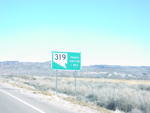
US-93 North Near NV-319/Panaca Jct.

US-93 North Near NV-319/Panaca Jct.

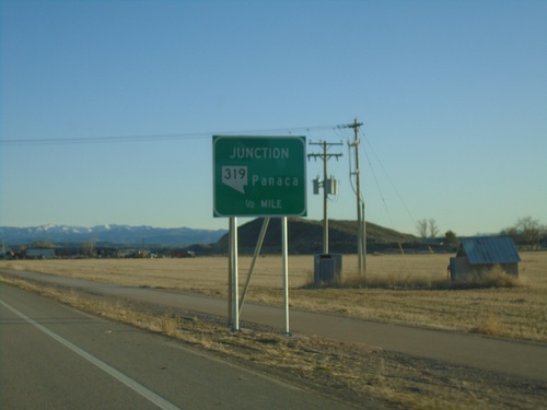
US-93 north approaching NV-319/Panaca Junction, 1 Mile

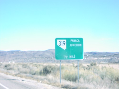
US-93 North NV-319/Panaca Jct.

US-93 North NV-319/Panaca Jct.

US-93 north approaching NV-319/Panaca Junction, 1/2 Mile

Pioche

Bus. US-93/NV-321 - Pioche

Bus. US-93/NV-321 - Pioche

Entering Pioche on Bus. US-93/NV-321 north. Pioche is the county seat of Lincoln County.
NV-322 West at US-93 - Pioche

NV-322 West at US-93 - Pioche

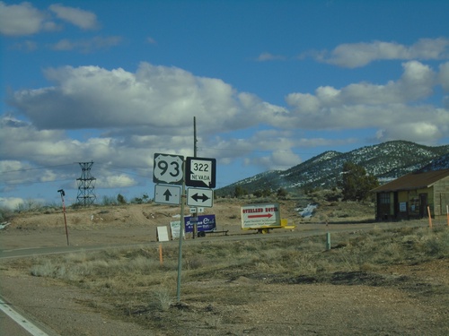
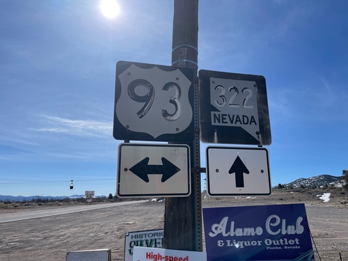
NV-322 West at US-93 in Pioche. The lettering on the shields are faded and almost appear to be painted on with brush strokes.
US-93 North at NV-322

US-93 North at NV-322

US-93 North at NV-322 in Pioche.

US-93 South - Pioche

US-93 South - Pioche

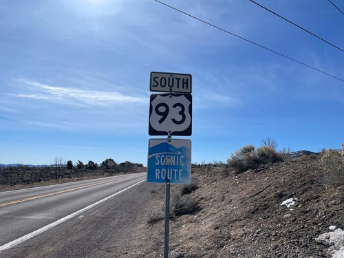
US-93 south in Pioche. US-93 is designed as a scenic byway in this part of Nevada.
US-93 South Approaching NV-319

US-93 South Approaching NV-319

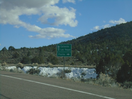
US-93 South approaching NV-319 to Panaca.

US-93 South at NV-320

US-93 South at NV-320

US-93 South at NV-320 in Lincoln County.

US-93 South at Bus. US-93/NV-321

US-93 South at Bus. US-93/NV-321

US-93 South at Bus. US-93/NV-321 at the south side of Pioche. Use Bus. US-93/NV-321 north for Pioche; continue south US-93 for Caliente and Las Vegas.
US-93 South - Pioche

US-93 South - Pioche

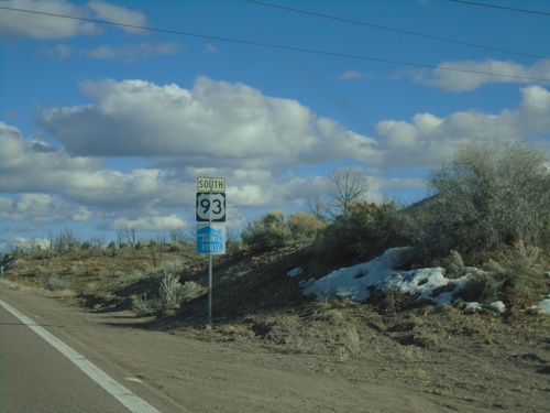
US-93 south in Pioche. US-93 is designed as a scenic byway in this part of Nevada.
US-93 South at NV-322

US-93 South at NV-322

US-93 South at NV-322 in Pioche.

US-93 South at NV-322

US-93 South at NV-322

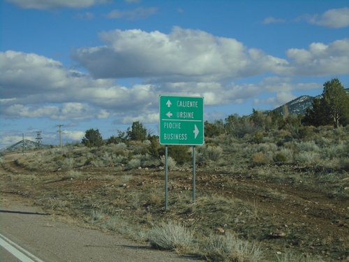
US-93 South at NV-322 in Pioche. Use NV-322 west for Pioche Business; use NV-322 east for Ursine. Continue south on US-93 to Caliente.
US-93 South Approaching NV-322

US-93 South Approaching NV-322

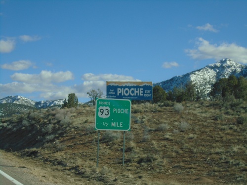
US-93 South approaching NV-322 in Pioche.

US-93 South Approaching Bus. US-93/NV-321

US-93 South Approaching Bus. US-93/NV-321

US-93 South approaching Bus. US-93/NV-321 in Pioche. This is the northern end of the Pioche business loop.
US-93 South at NV-320

US-93 South at NV-320

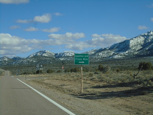
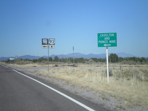
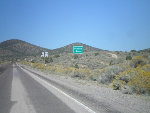
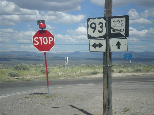
US-93 south at NV-320 south to Caselton and Prince Mine.

US-93 South Approaching NV-320

US-93 South Approaching NV-320

US-93 South approaching NV-320 in Lincoln County.

US-93 South - Lincoln County Line

US-93 South - Lincoln County Line

Lincoln County Line on US-93 south.

NV-322 East at US-93

NV-322 East at US-93

NV-322 East at US-93 in Pioche. Both of the shields have fading lettering and almost look like they were hand painted on.
NV-322 East at US-93

NV-322 East at US-93

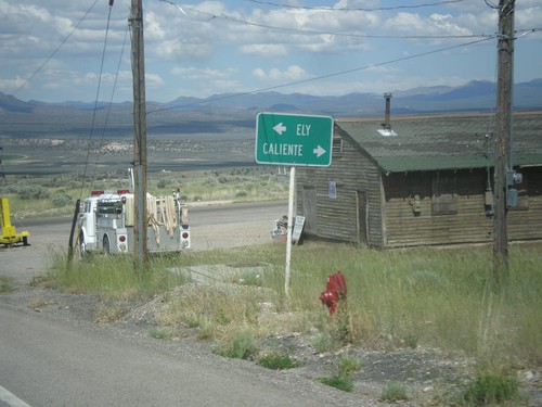
NV-322 East at US-93. Turn right for US-93 south to Caliente; left for US-93 north to Ely.
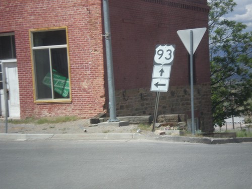
Bus US-93/NV-321 South at NV-322

Bus US-93/NV-321 South at NV-322

Bus US-93/NV-321 South at NV-322 in Pioche. Both NV-321 and NV-322 will end up at US-93. Turn left to continue north on Bus. US-93/NV-321. Continue straight for NV-322. This is a confusing intersection because there is no signs indicating either the Nevada state highways involved, nor which street the business loop continues on as.
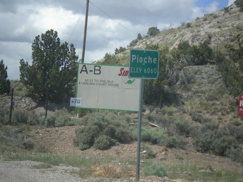
Bus. US-93/NV-321 - Pioche

Bus. US-93/NV-321 - Pioche

Entering Pioche on Bus. US-93/NV-321 north. Pioche is the county seat of Lincoln County.
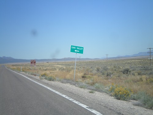
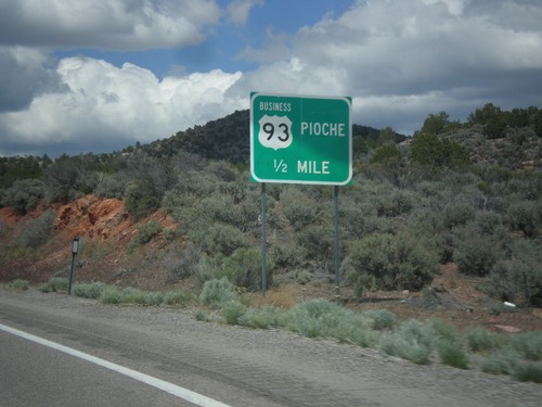
US-93 North Approaching Business US-93

US-93 North Approaching Business US-93

US-93 North Approaching Business US-93 (NV-321) to Pioche.

US-93 North - Cave Valley Jct.

US-93 North - Cave Valley Jct.

US-93 north at Cave Valley Junction (Patterson Pass Road). Turn left for Cave Valley and the Silver State OHV Trailhead.
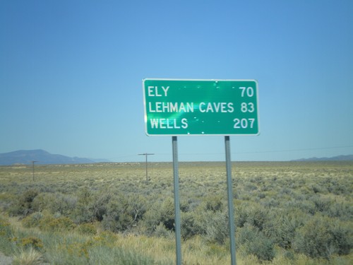
US-93 North - Distance Marker

US-93 North - Distance Marker

Distance marker on US-93 north to Ely, Lehman Caves (Great Basin National Park), and Wells. Taken just north of Pony Springs.
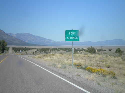
US-93 North - Pony Springs

US-93 North - Pony Springs

Entering the community of Pony Springs on US-93 North. Pony Springs consists of a few buildings and a state rest area.
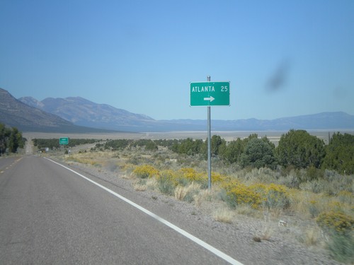
US-93 North at Atlanta Jct.

US-93 North at Atlanta Jct.

US-93 North at Atlanta Jct.

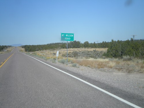
US-93 North - Mt. Wilson Road

US-93 North - Mt. Wilson Road

US-93 north at Mt. Wilson Road.

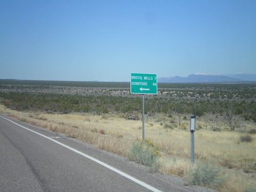
US-93 North at Bristol Wells/Sunnyside Jct.

US-93 North at Bristol Wells/Sunnyside Jct.

US-93 North at Bristol Wells/Sunnyside Jct. Turn left for Bristol Wells (7 Miles) and Sunnyside (46 Miles).
US-93 North at NV-320

US-93 North at NV-320

US-93 north at NV-320 south to Caselton and Prince Mine.

US-93 North Approaching NV-320

US-93 North Approaching NV-320

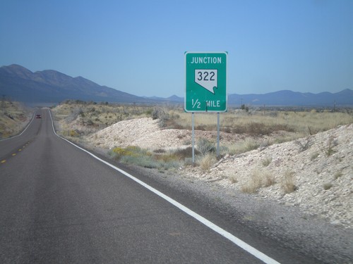
US-93 north approaching NV-320 south.

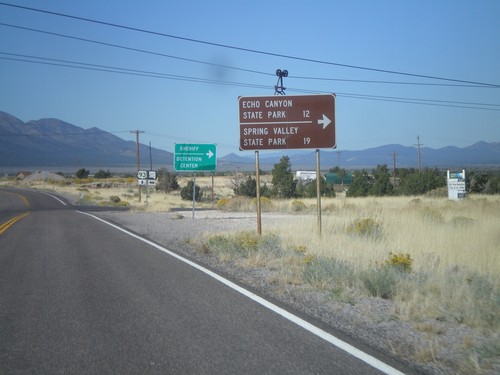
US-93 North Approaching NV-322

US-93 North Approaching NV-322

US-93 north approaching NV-322. Turn left on NV-322 for Echo Canyon State Park and Spring Valley State Park.
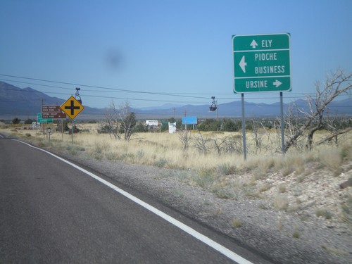
US-93 North Approaching NV-322

US-93 North Approaching NV-322

US-93 north approaching NV-322. Use NV-322 west for Pioche (Business); NV-322 east for Ursine; continue north on US-93 for Ely.
US-93 North Approaching NV-322

US-93 North Approaching NV-322

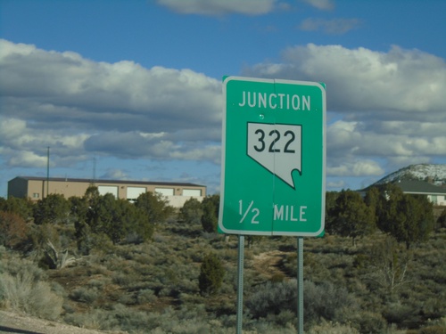
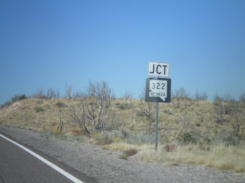
US-93 North approaching NV-322.

US-93 North Approaching NV-322

US-93 North Approaching NV-322

US-93 north approaching NV-322.

US-93 North at NV-321

US-93 North at NV-321

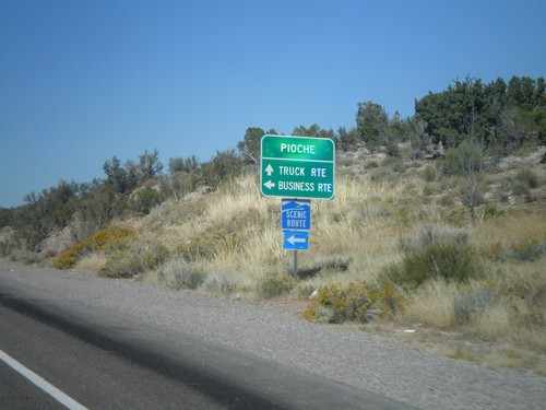
US-93 north at NV-321 (Business US-93) to Pioche. Turn left for business route into Pioche. Continue ahead for truck route into Pioche. NV-321 is a Nevada Scenic Byway.
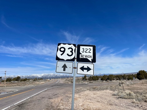
US-93 North At NV-321 (Business US-93)

US-93 North At NV-321 (Business US-93)

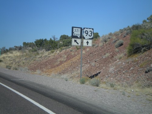
US-93 North At NV-321 (Business US-93).
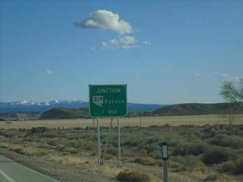
US-93 North Approaching Business US-93

US-93 North Approaching Business US-93

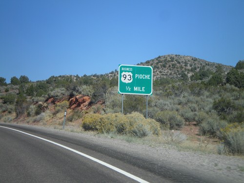
US-93 North Approaching Business US-93 (NV-321) to Pioche.

US-93 North at NV-320

US-93 North at NV-320

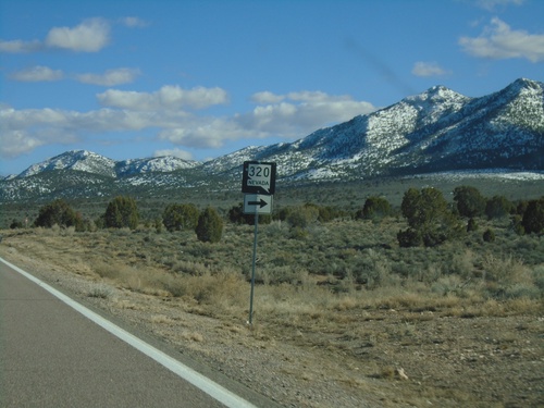
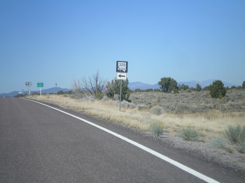
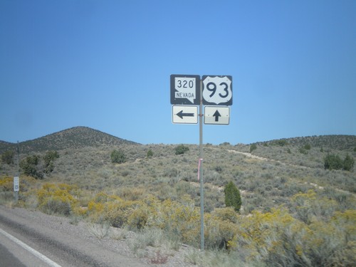
US-93 north at NV-320 north.

US-93 North approaching NV-320 North

US-93 North approaching NV-320 North

US-93 north approaching NV-320 north to Caselton.

No Place Associated

NV-318 North - Distance Marker

NV-318 North - Distance Marker

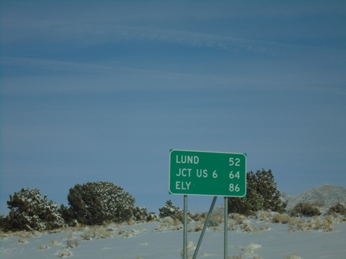
Distance marker on NV-318 north. Distance to Lund, Jct. US-6, and Ely.