Mineral County, Nevada
Localities: Dyer | Hawthorne | Luning | Mina | Schurz
No Place Associated
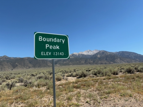
US-6 - Boundary Peak
Scenic pullout on US-6 West with view of Boundary Peak - Elevation 13143 Feet. Boundary Peak is the highest point in Nevada, and is in the background of the photograph. The author of this site had just climbed Boundary Peak earlier that day.
Dyer
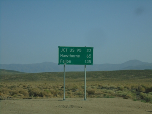
NV-360 North - Distance Marker
Distance marker on NV-360 north. Distance to Jct. US-95, Hawthorne, and Fallon.
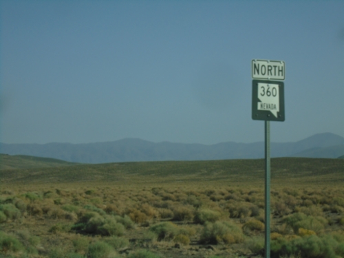
NV-360 North - Mineral County
NV-360 North in Mineral County
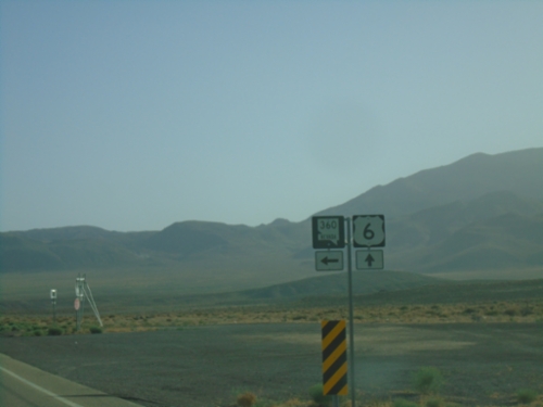
US-6 East at NV-360
US-6 East at NV-360 in Mineral County.
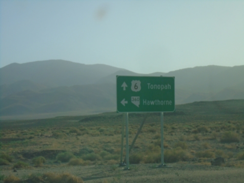
US-6 East at NV-360
US-6 East at NV-360 to Hawthorne. Continue east on US-6 to Tonopah.
US-6 East Approaching NV-360
US-6 East approaching NV-360 in Mineral County.
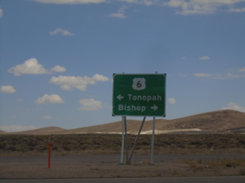
End NV-360 at US-6
End NV-360 at US-6. Use US-6 west to Bishop (California); US-6 east to Tonopah.
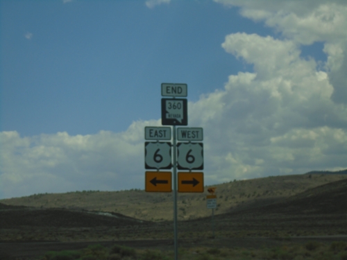
End NV-360 South at US-6
End NV-360 South at US-6 in Mineral County.
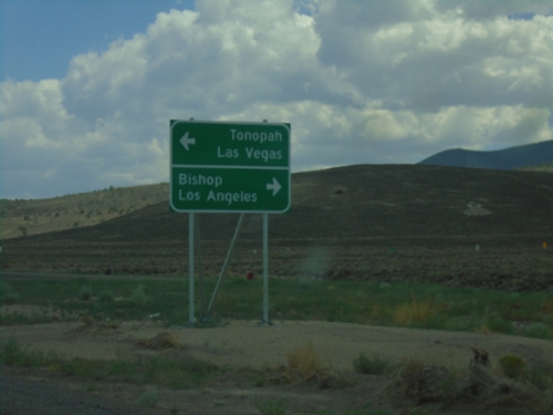
NV-360 South at US-6
NV-360 South at US-6. Use US-6 west for Bishop (California) and Los Angeles (California). Use US-6 east for Tonopah and Las Vegas (via US-95).
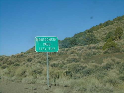
US-6 West - Montgomery Pass
US-6 west at Montgomery Pass - Elevation 7167 Feet.
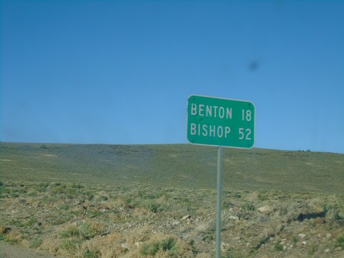
US-6 West - Distance Marker
Distance marker on US-6 west. Distance to Benton (California) and Bishop (California).
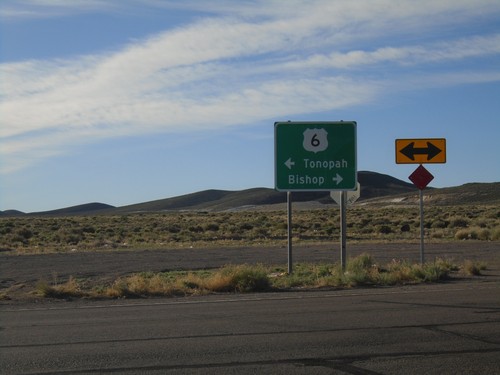
End NV-360 at US-6
End NV-360 at US-6. Use US-6 west to Bishop (California); US-6 east to Tonopah.
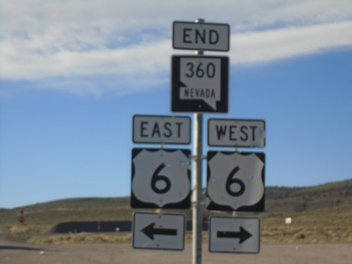
End NV-360 South at US-6
End NV-360 South at US-6 in Mineral County.
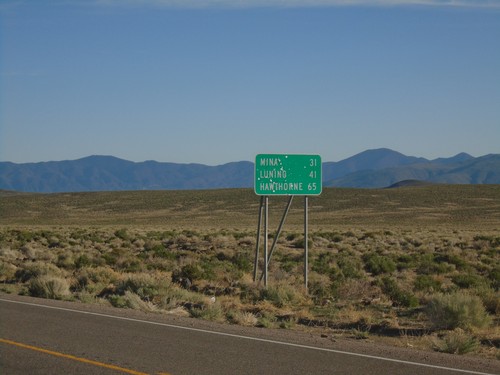
NV-360 North - Distance Marker
Distance marker on NV-360 north. Distance to Mina, Luning, and Hawthorne.
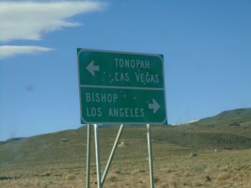
NV-360 South at US-6
NV-360 South at US-6. Use US-6 west for Bishop (California) and Los Angeles (California). Use US-6 east for Tonopah and Las Vegas (via US-95).
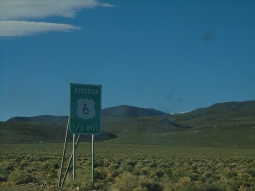
NV-360 South Approaching US-6
NV-360 South approaching US-6 in Mineral County.
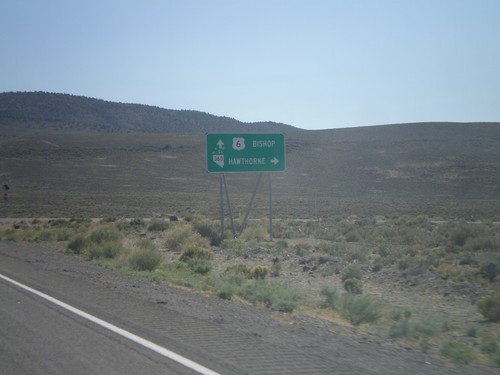
US-6 West at NV-360
US-6 west at NV-360 to Hawthorne. Continue west on US-6 to Bishop (California).
Hawthorne
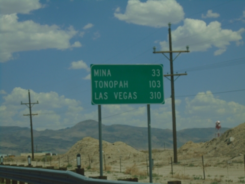
US-95 South - Distance Marker
Distance marker on US-95 south. Distance to Mina, Tonopah, and Las Vegas.
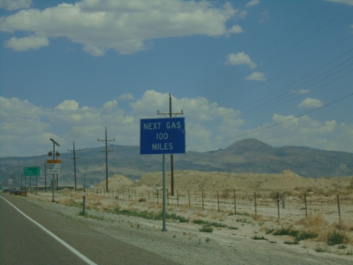
US-95 South - Next Gas 100 Miles
Next Gas 100 Miles (in Tonopah) on US-95 south.
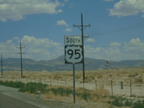
US-95 South - Mineral County
US-95 South in Mineral County
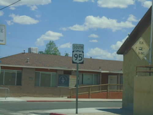
US-95 South - Hawthorne
US-95 South in Hawthorne
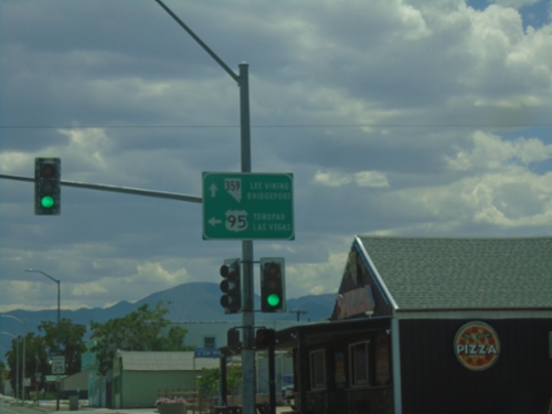
US-95 South at NV-359 South
US-95 south at NV-359 west to Lee Vining (CA) and Bridgeport (CA). Turn left to continue south on US-95 to Tonopah and Las Vegas.
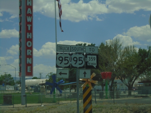
US-95 South at Truck US-95
US-95 South at Truck US-95 in Hawthorne. Continue south on US-95 for NV-359.
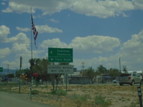
US-95 South Approaching US-95 Truck Route
US-95 south approaching Truck US-95 South. Turn left for Truck Route; continue straight for US-95 to Downtown Hawthorne. Hazardous Material Must Turn Left.
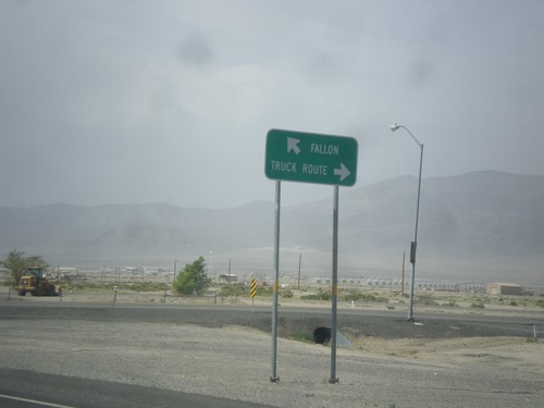
US-95 North at Hawthorne Truck Route
US-95 north at Hawthorne Truck Route. Merge right for the Truck Route, merge left for US-95 north towards Fallon.
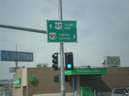
End NV-359 at US-95
End NV-359 at US-95. Turn right for US-95 south to Tonopah and Las Vegas. Continue straight for US-95 north to Fallon and Reno.
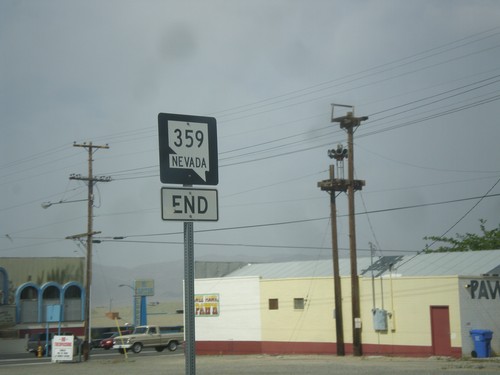
End NV-359 North at US-95
End NV-359 north at US-95 in Hawthorne.
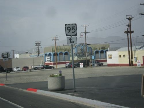
NV-359 North Approaching US-95
NV-359 North approaching US-95 in Hawthorne.
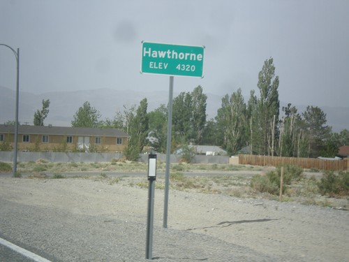
NV-359 North - Hawthorne
Hawthorne - Elevation 4,320 Feet on NV-359 North.
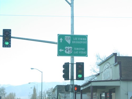
US-95 South at NV-359 South
US-95 south at NV-359 west to Lee Vining and Bridgeport
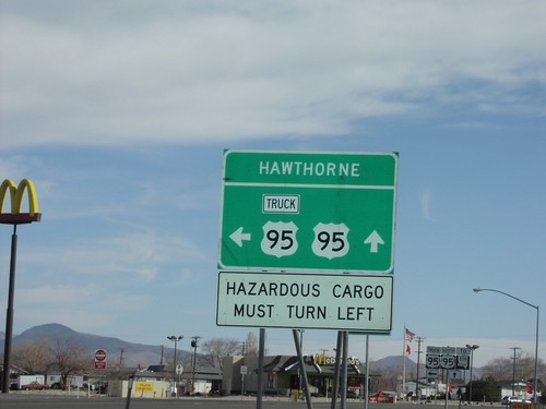
US-95 South/US-95 Truck Route
US-95 south at Truck US-95 South
Luning
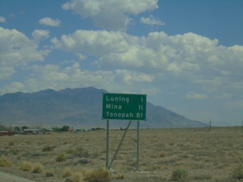
US-95 South - Distance Marker
Distance marker on US-95 south. Distance to Luning, Mina, and Tonopah.
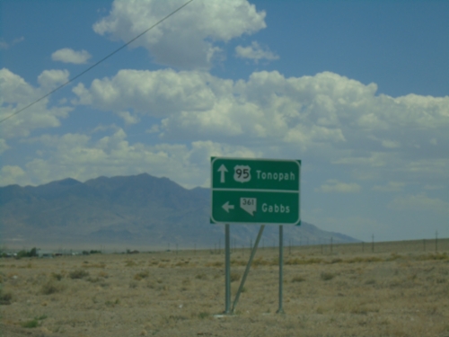
US-95 South at NV-361
US-95 South at NV-361 North to Gabbs. Continue south on US-95 to Tonopah.
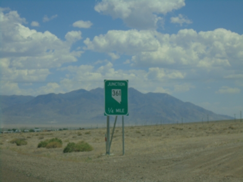
US-95 South Approaching NV-361
US-95 South approaching NV-361 in Luning.
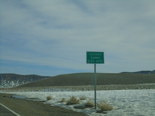
NV-361 North - Calvada Summit
Calvada Summit - Elevation 6296 Feet on NV-361 North. Calvada Summit is in the Gabbs Valley Range.
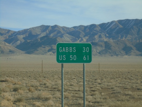
NV-361 North - Distance Marker
Distance marker on NV-361 north. Distance to Gabbs and US-50 (Middlegate Junction).
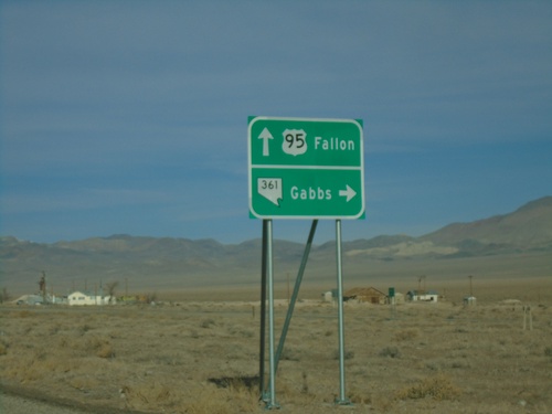
US-95 North Approaching NV-361
US-95 North approaching NV-361. Use NV-361 North for Gabbs. Continue north on US-95 for Fallon.
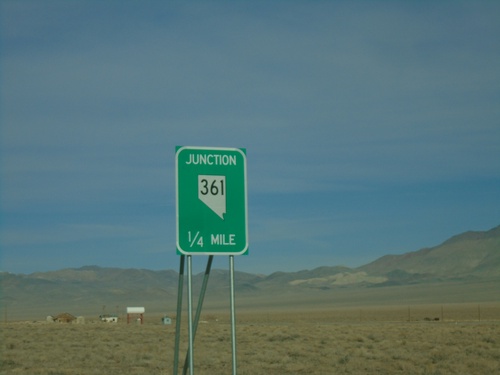
US-95 North Approaching NV-361
US-95 North approaching NV-361 in Luning.
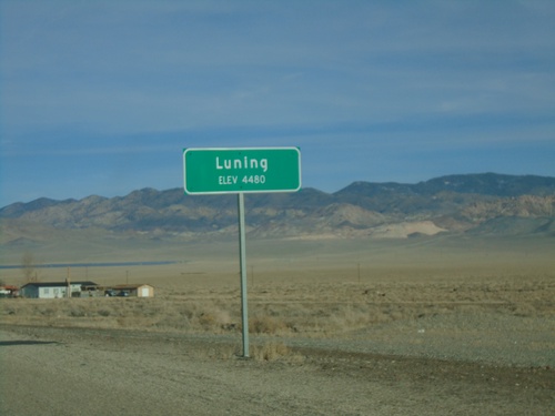
US-95 North - Entering Luning
Entering Luning on US-95 north - Elevation 4480 Feet
Mina
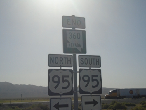
End NV-360 North at US-95
End NV-360 North at US-95 in Mineral County.
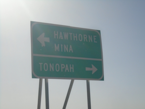
End NV-360 North at US-95
End NV-360 North at US-95. Use US-95 south to Tonopah; US-95 north to Mina and Hawthorne.
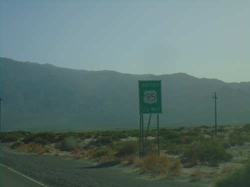
NV-360 North Approaching US-95
NV-360 North approaching US-95 in Mineral County.
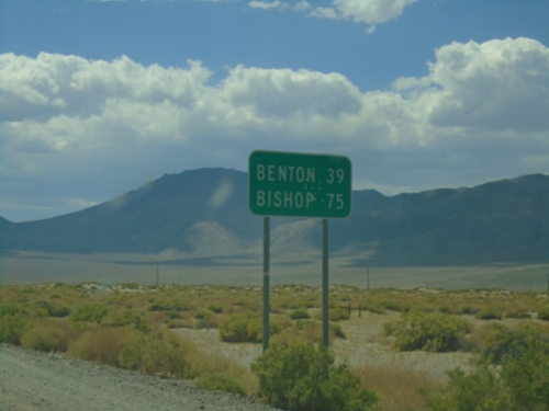
NV-360 South - Distance Marker
Distance marker on NV-360 south. Distance to Benton (CA) and Bishop (CA).
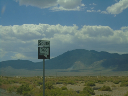
NV-360 South - Mineral County
NV-360 South in Mineral County
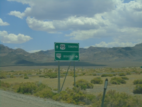
US-95 South at NV-360
US-95 south at NV-360. Use NV-360 south to Bishop (CA); continue south on US-95 to Tonopah.
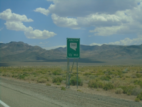
US-95 South Approaching NV-360
US-95 South approaching NV-360 in Mineral County.
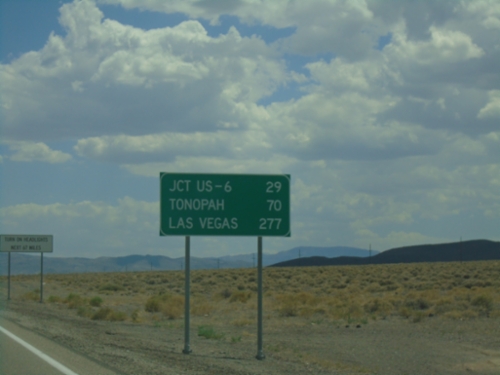
US-95 South - Distance Marker
Distance marker on US-95 south. Distance to Jct. US-6, Tonopah, and Las Vegas.
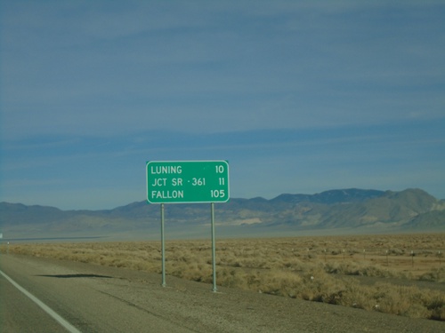
US-95 North - Distance Marker
Distance marker on US-95 north. Distance to Luning, Jct. SR-361, and Fallon.
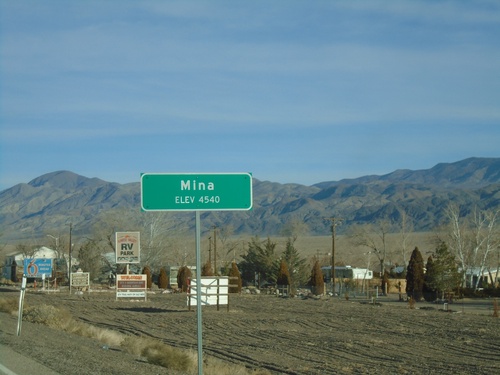
US-95 North - Mina
Entering Mina - Elevation 4540 Feet on US-95 North.
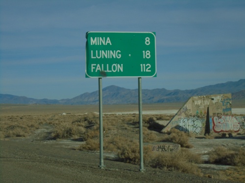
US-95 North - Distance Marker
Distance marker on US-95 north. Distance to Mina, Luning, and Fallon.
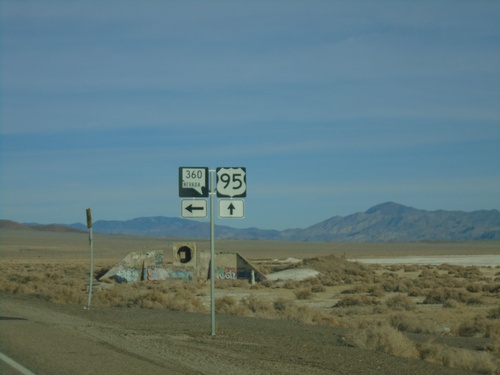
US-95 North at NV-360
US-95 North at NV-360 in Mineral County.
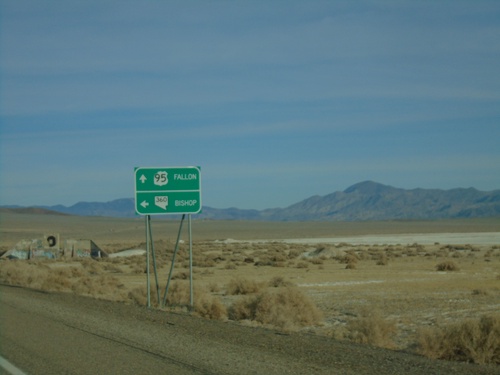
US-95 North Approaching NV-360
US-95 North approaching NV-360 in Mineral County. Use NV-360 West for Bishop (CA). Continue north on US-95 for Fallon.
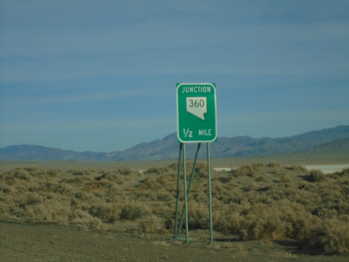
US-95 North Approaching NV-360
US-95 North approaching NV-360 in Mineral County.
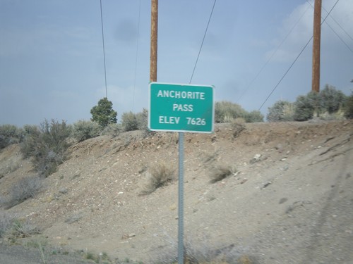
NV-359 North - Anchorite Pass
Anchorite Pass - Elevation 7,626 Feet on NV-359 North.
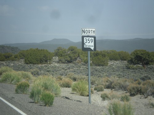
NV-359 North
NV-359 north in Mineral County. This is the first NV-359 shield after the state line.
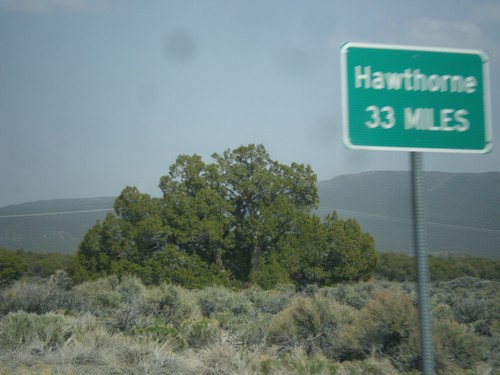
NV-359 North - Distance Marker
Distance marker on NV-359 north. Distance to Hawthorne. This sort of sign is common in Nevada where there is only one city listed as a destination.
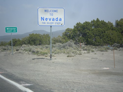
Welcome To Nevada - NV-359 North
Welcome to Nevada - The Silver State, Mineral County Line on NV-359 north. Taken at the Nevada - California state line.
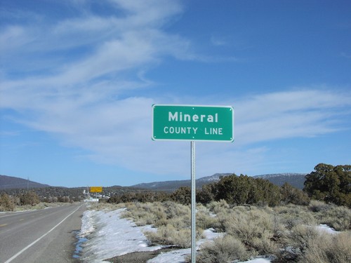
Mineral County Line on NV-359 North
Mineral County line at California border
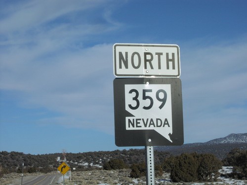
NV-359 North at NV/CA Stateline
NV-359 north at California border
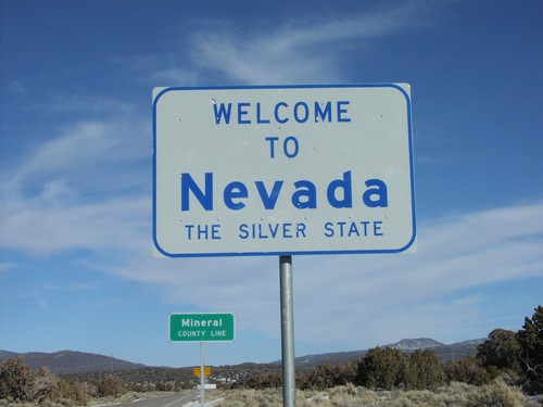
Welcome To Nevada - NV-359 North
Welcome to Nevada on California border. Welcome to Nevada is the blue on silver design.
Schurz
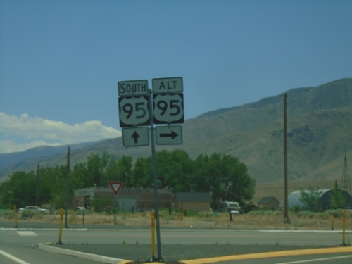
US-95 South/US-95 Alt.
US-95 south at Alt US-95 north to Yerrington
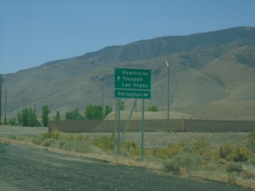
US-95 South Approaching Alt. US-95
US-95 South approaching Alt. US-95. Use Alt. US-95 North to Yerrington; US-95 south to Hawthorne, Tonopah, and Las Vegas.
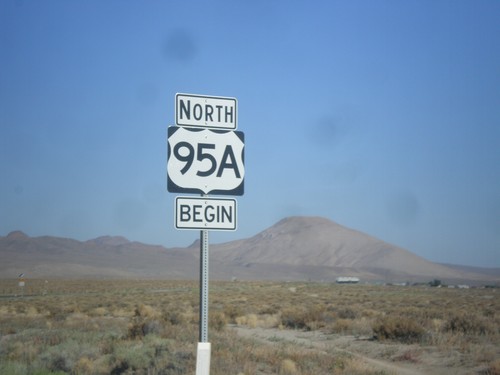
Begin US-95A (US-95 Alternate) in Schurz
Begin US-95A (US-95 Alternate) in Schurz. The US-95A shield is commonplace on the stretch of highway between Schurz and Silver Springs. North of Silver Springs the US-95 with the ALT banner is used.
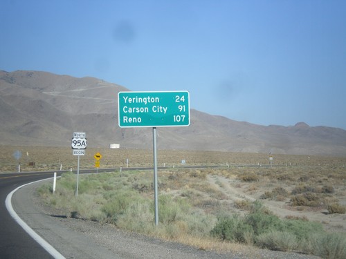
US-95 Alt. North - Distance Marker
Distance marker on US-95 Alt. north. Distance to Yerington, Carson City (via US-50), and Reno (via I-80).
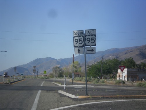
US-95 South at US-95 Alt.
US-95 south at US-95 Alt North in Schurz. This is the southern terminus of US-95 Alt.
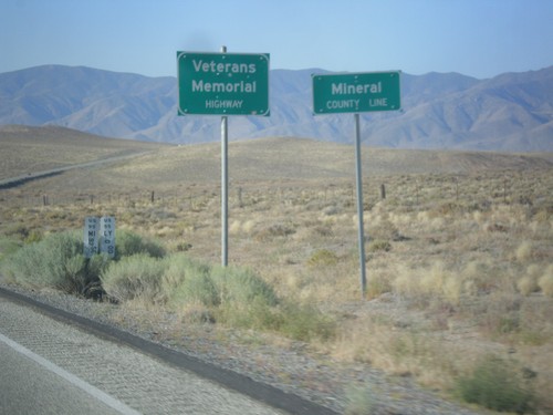
US-95 South - Mineral County
Mineral County Line on US-95 south. US-95 through Nevada is designated the Veterans Memorial Highway.
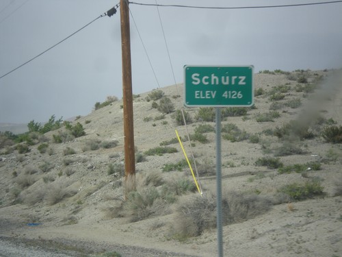
US-95 North - Schurz
Schurz - Elevation 4,126 on US-95 north. Schurz is home to the Walker River Paiute Tribe.
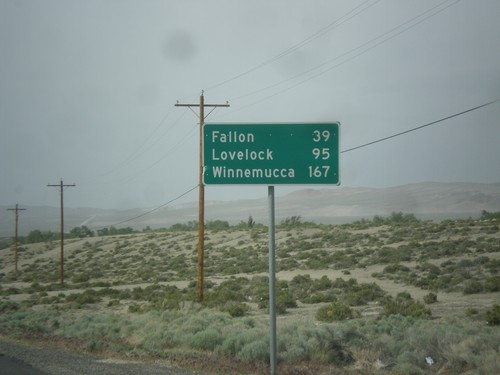
US-95 North - Distance Marker
Distance marker on US-95 north. Distance to Fallon, Lovelock, and Winnemucca. This sign was upgraded to the Clearview font since the last time I photographed it in 2006.
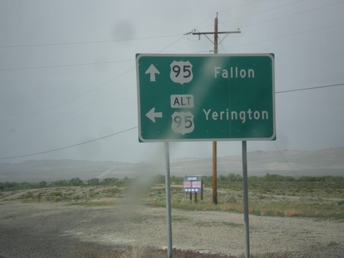
US-95 North at Alt. US-95 North
US-95 North at Alt. US-95 North to Yerington. Continue north on US-95 for Fallon. Alt. US-95 rejoins US-95 north of Fallon at I-80.
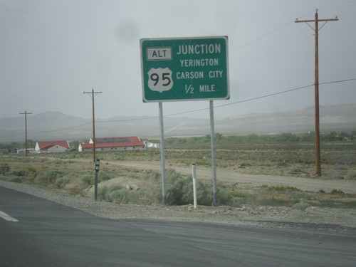
US-95 North Approaching Alt. US-95
US-95 north Approaching Alt. US-95 to Carson City and Yerington.
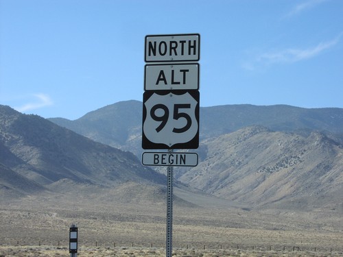
Begin US-95 Alt. North
Begin Alt. US-95 north
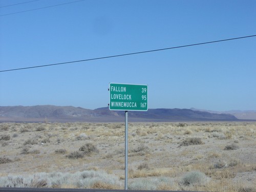
US-95 North Distance Marker
Distance marker on US-95 just north of US-95A junction to Fallon, Lovelock, and Winnemucca
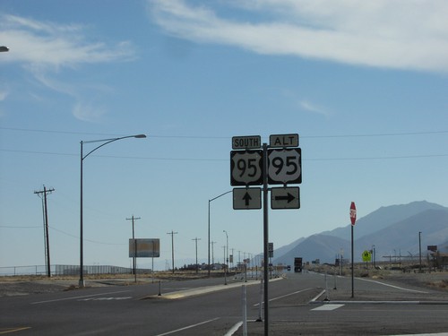
US-95 South/US-95 Alt.
US-95 south at Alt US-95 north to Yerrington
No Place Associated
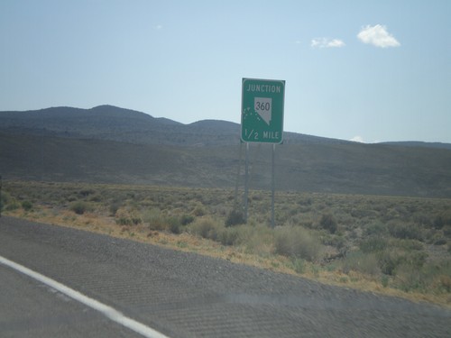
US-6 West Approaching NV-360
US-6 west approaching NV-360.