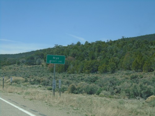
Nye County, Nevada
Localities: Gabbs | Manhattan | Pahrump | Tonopah | Warm Springs
Gabbs
Manhattan
Pahrump
Tonopah
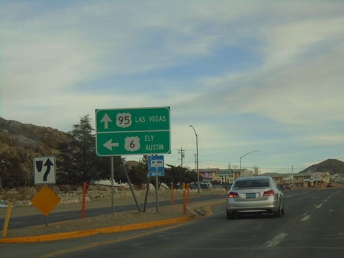
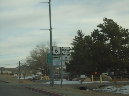
US-95 South/US-6 East at US-95/US-6 Split
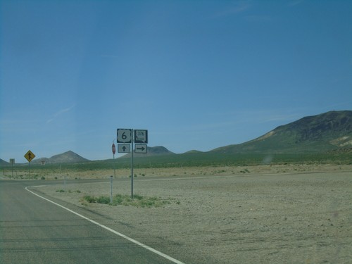
US-95 South/US-6 East at US-95/US-6 split in Tonopah. Use US-6 East for Ely and Austin (via NV-376). Use US-95 South for Las Vegas.
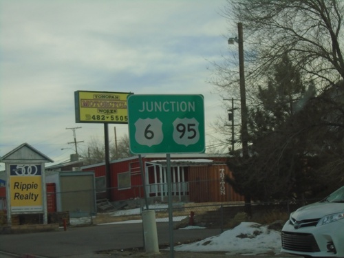
US-95 South/US-6 East Approaching US-95/US-6 Split
US-95 South/US-6 East approaching US-95/US-6 Split in Tonopah.
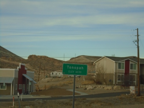
US-95 North - Tonopah
Entering Tonopah on US-95 North - Elevation 6030 Feet. Tonopah is the unincorporated county seat of Nye County.
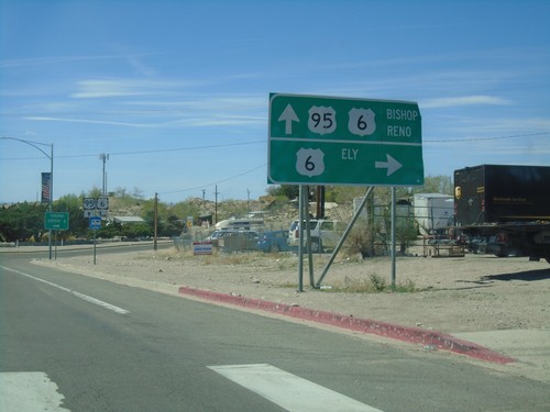
US-95 North At US-6
US-95 north at US-96. Use US-6 east for Ely. Use US-95 north/US-6 west for Bishop (California) and Reno. US-6 joins US-95 north to Coaldale Junction.
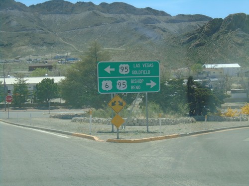
US-6 West At US-95
US-6 west at US-95. Use US-95 south for Las Vegas and Goldfield. Use US-95 north/US-6 west for Bishop (California) and Reno. US-6 joins US-95 north to Coaldale Junction.
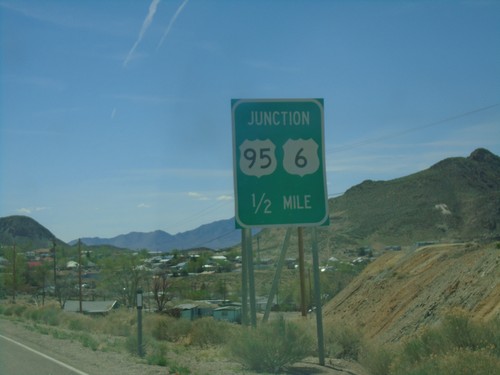
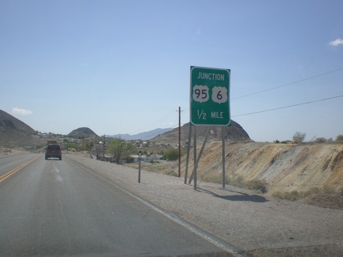
US-6 West Approaching US-95
US-6 west approaching US-95 junction in Tonopah. US-6 west joins US-95 north to Coaldale Junction.
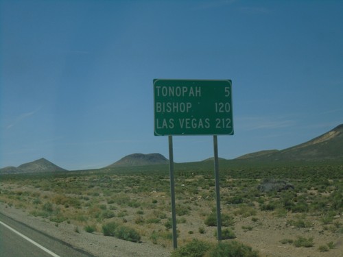
US-6 West - Distance Marker
Distance marker on US-6 west. Distance to Tonopah, Bishop (California), and Las Vegas (via US-95).
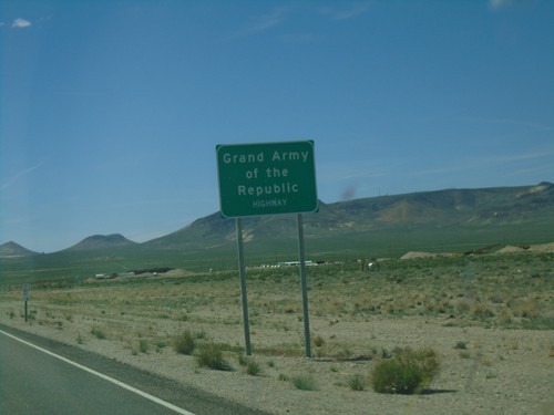
US-6 West - Grand Army of the Republic Highway
US-6 West - Grand Army of the Republic Highway in Nye County.
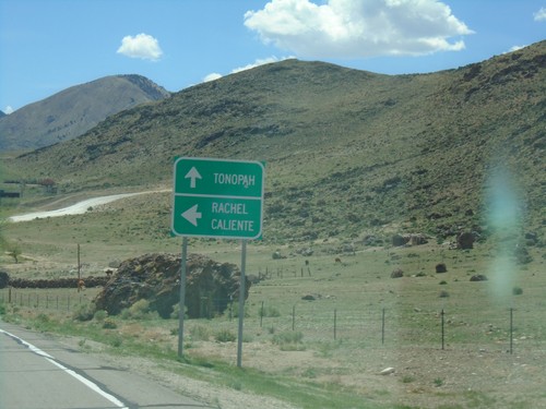
US-6 West at NV-375 South
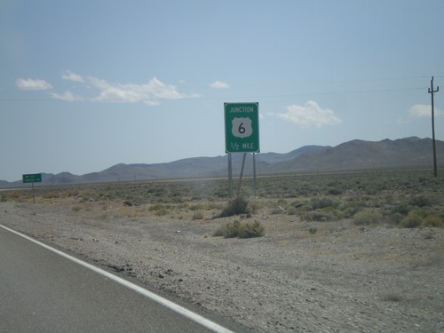
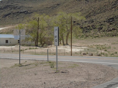
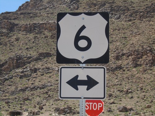
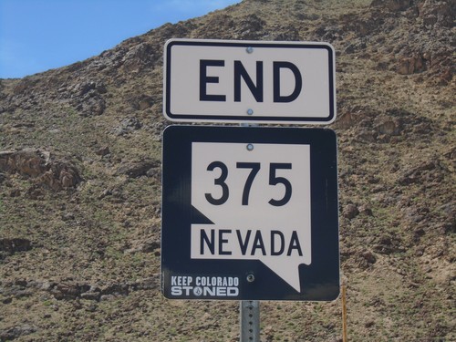
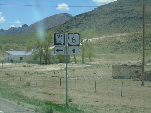
US-6 west at NV-375 south to Rachel and Caliente. Continue west on US-6 for Tonopah.
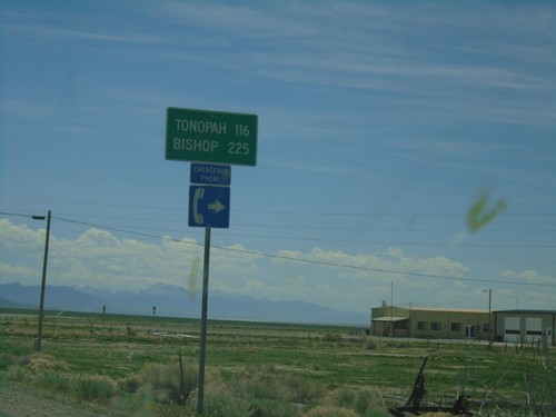
US-6 West - Distance Marker
Distance marker on US-6 west. Distance to Tonopah and Bishop (California). This is the first appearance of Bishop as a control city on US-6 westbound.
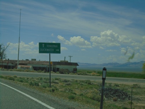
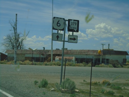
US-6 West Approaching NV-379
US-6 West approaching NV-379 north to Duckwater. Continue west on US-6 for Tonopah.
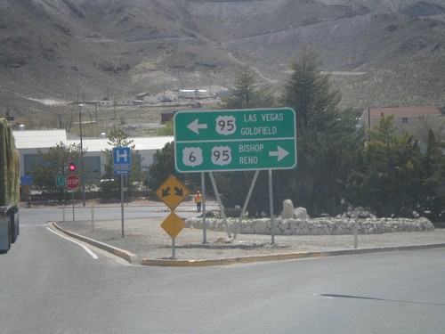
US-6 West Approaching US-95
US-6 west approaching US-95. Use US-95 south for Las Vegas and Goldfield. Use US-95 north/US-6 west for Bishop (California) and Reno. US-6 joins US-95 north to Coaldale Junction.
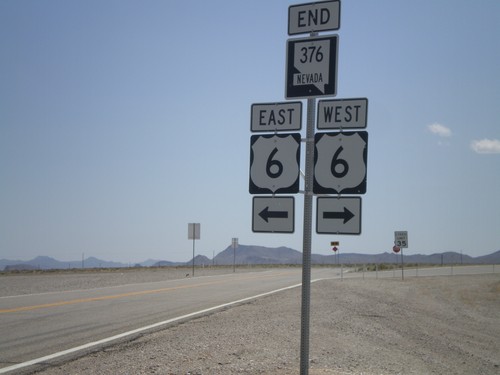
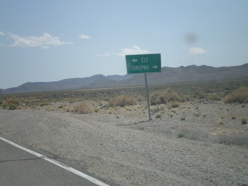
Warm Springs
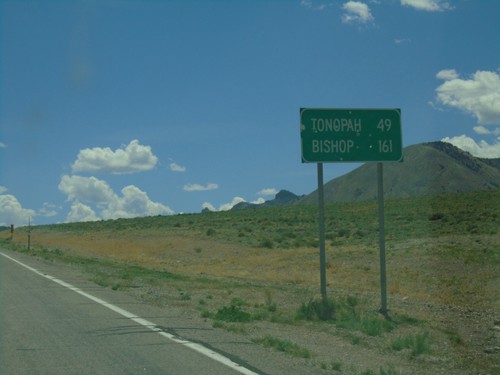
US-6 West - Distance Marker
Distance marker on US-6 west. Distance to Tonopah and Bishop (California).
