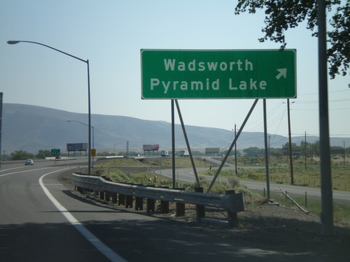
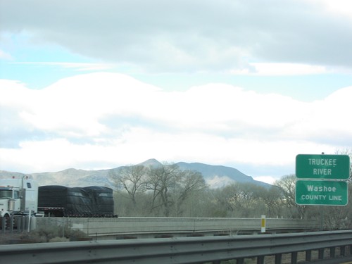
Washoe County, Nevada
Localities: Carson City | Crystal Bay | Empire | Fernley | Gerlach | Incline Village | McCarran | Mogul | New Washoe City | Nixon | Patrick | Reno | Sparks | Verdi | Vya | Wadsworth
Carson City
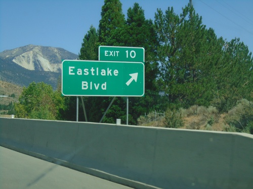
I-580 North - Exit 10
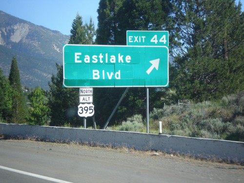
I-580/US-395 North at Exit 10 - Eastlake Blvd. This is the southern terminus of Alt. US-395. Alt. US-395 was created when the new I-580 freeway was completed. Alt. US-395 follows the old route of US-395 to Reno.
Crystal Bay
Empire
Fernley
Gerlach
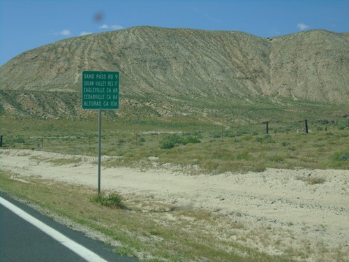
CH-447 North - Distance Marker
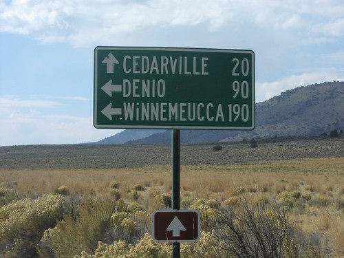
Distance marker on CH-447 North. Distance to Sand Pass Road, Squaw Valley Reservoir, Eagleville (California), Cedarville (California), and Alturas (California).
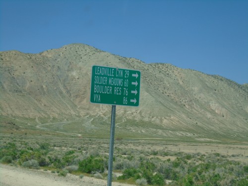
CH-447 North at CH-34
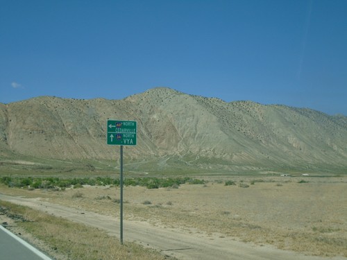
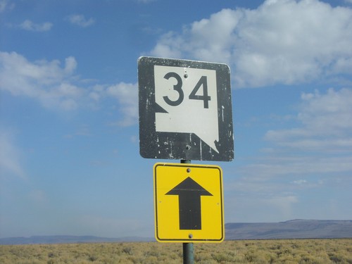
CH-447 North at CH-34 near Gerlach. Use CH-34 north for Leadville Canyon, Soldier Meadows, Boulder Reservoir, and Vya.
Incline Village
McCarran
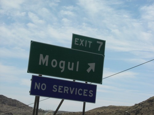
Mogul
New Washoe City
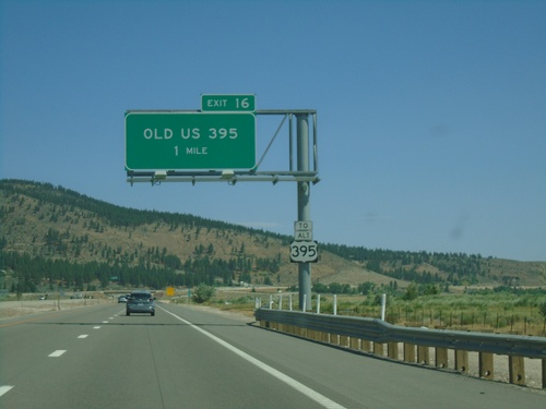
I-580 North - Exit 16
I-580/US-395 North approaching Exit 16 - Old US 395. Use Exit 16 for Alt. US-395.
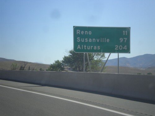
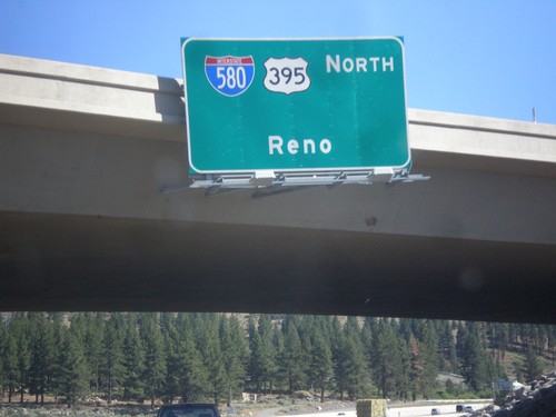
I-580/US-395 North - Distance Marker
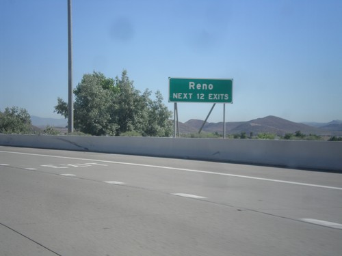
Distance marker on I-580/US-395 North. Distance to Reno, Susanville (CA), and Alturas (CA).
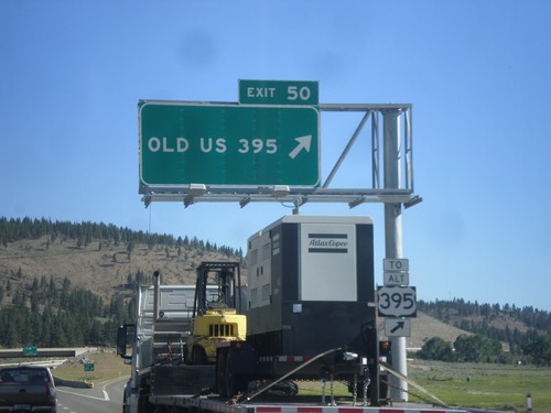
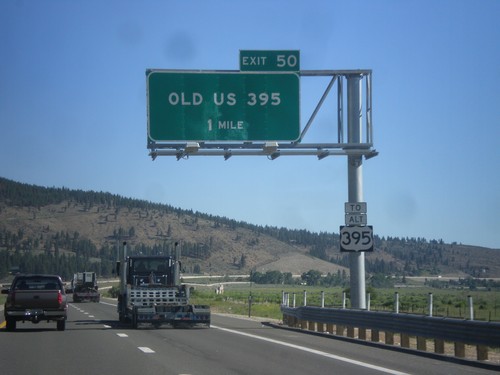
I-580/US-395 North - Exit 50
I-580/US-395 North at Exit 50 - Old US 395. Use Exit 50 for Alt. US-395.
Nixon
Patrick
Reno
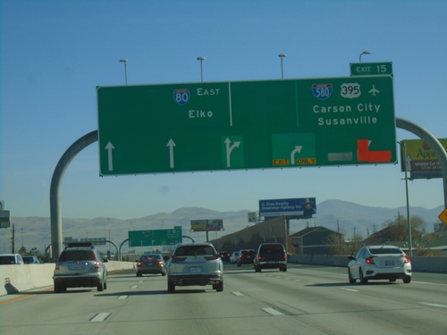
I-80 East - Exit 15
I-80 east at Exit 15 - I-580/US-395/Carson City/Susanville (California). Continue east on I-80 for Elko.
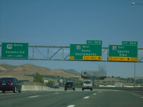
I-580/US-395 North - Exits 36A and 36B
I-580/US-395 north approaching Exits 36A and 36B. Exit 36A - I-80 East/Sparks/Elko. Exit 36B - I-80 West/Reno/Sacramento (California). US-395 continues north towards Susanville (California). I-580 ends at I-80. The freeway continues as US-395.
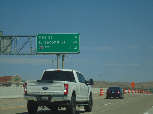
I-580 North/US-395 - Next Exits
Next 3 Exits on I-580 North/US-395: Mill St., E. Second St. and I-80.
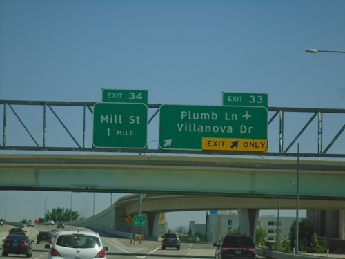
I-580/US-395 North - Exits 33 and 34
I-1580 North/US-395 north at Exit 33 - Plumb Lane/Villanova Drive. Approaching Exit 34 - Mill St. Use Plumb Lane for the Reno-Tahoe International Airport.
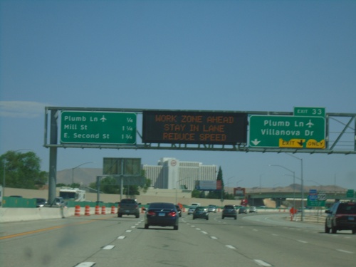
I-580/US-395 North Approaching Exit 33
I-580/US-395 north approaching Exit 33 - Plumb Lane/Villanova Drive. A distance marker showing the next three Reno exits is on the left side of the picture. The next three exits are: Plumb Lane, Mill St., and E. Second St. Use the Plumb Lane exit for the Reno-Tahoe International Airport.
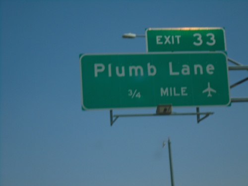
I-580/US-395 North - Exit 33
I-580/US-395 North approaching Exit 33 - Plumb Lane. Use Plumb Lane for Reno-Tahoe International Airport.
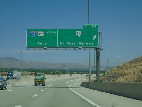
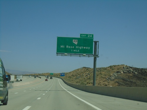
I-580 North - Exit 24
I-580/US-395 North at Exit 24 - NV-431/Mount Rose Highway. Continue north on I-580/US-395 for Reno.
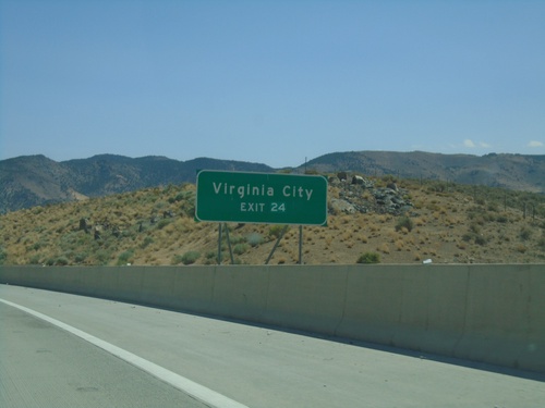
I-580 North Approaching Exit 24
I-580/US-395 North approaching Exit 24. Use Exit 24 for Virginia City.
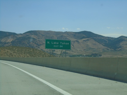
I-580 North Approaching Exit 24
I-580 North approaching Exit 2. Use Exit 24 for N. Lake Tahoe and Virginia City
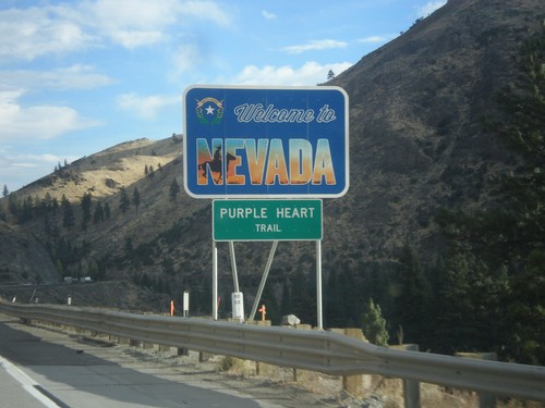
I-80 East - Welcome To Nevada
Welcome To Nevada on I-80 east at the California-Nevada state line. I-80 through Nevada is called the Purple Heart Trail. This sign is a new style of welcome sign.
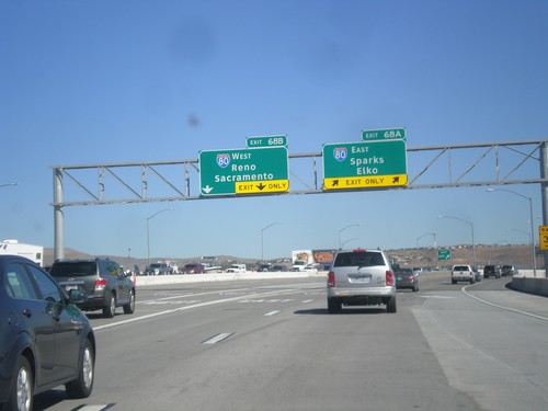
I-580/US-395 North - Exits 68A and 68B
I-580/US-395 north at Exits 68A and 68B. Exit 68A - I-80 East/Sparks/Elko. Exit 68B - I-80 West/Reno/Sacramento (California). US-395 continues north towards Susanville (California). This is the north end of I-580.
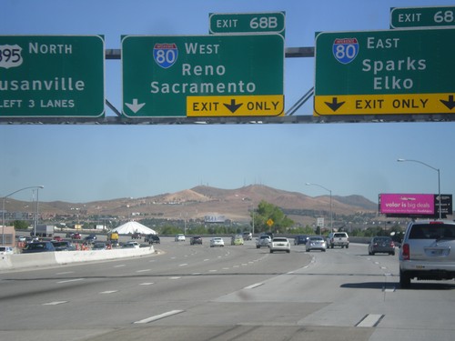
I-580/US-395 North - Exits 68A and 68B
I-580/US-395 north approaching Exits 68A and 68B. Exit 68A - I-80 East/Sparks/Elko. Exit 68B - I-80 West/Reno/Sacramento (California). US-395 continues north towards Susanville (California). I-580 ends at I-80. The freeway continues as US-395.
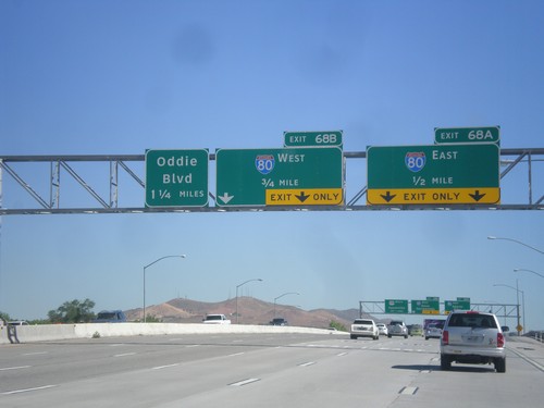
I-580/US-395 North Approaching Exits 68AB and 69
I-580/US-395 north approaching Exit 68A - I-80 East; Exit 68B - I-80 West, and Exit 69 (exit number not shown) - Oddie Blvd.
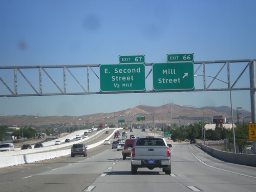
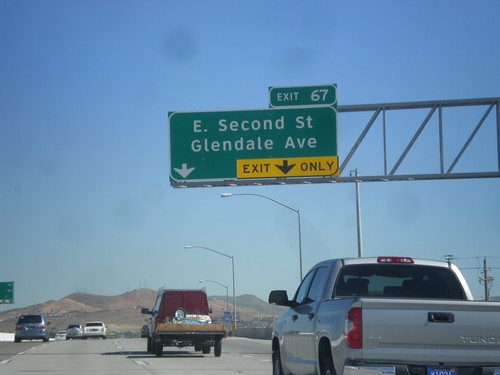
I-580/US-395 North - Exits 66 and 67
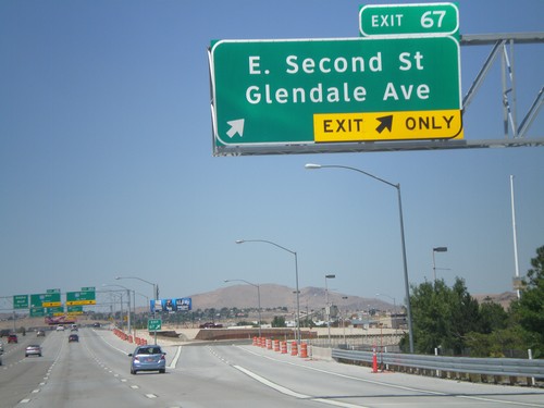
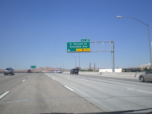
I-580/US-395 north at Exit 66 - Mill St. Approaching Exit 67 - E. Second St.
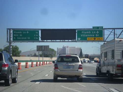
I-580/US-395 North Approaching Exit 65
I-580/US-395 north approaching Exit 65 - Plumb Lane/Villanova Drive. A distance marker showing the next three Reno exits is on the left side of the picture. The next three exits are: Plumb Lane, Mill St., and E. Second St. Use the Plumb Lane exit for the Reno-Tahoe International Airport.
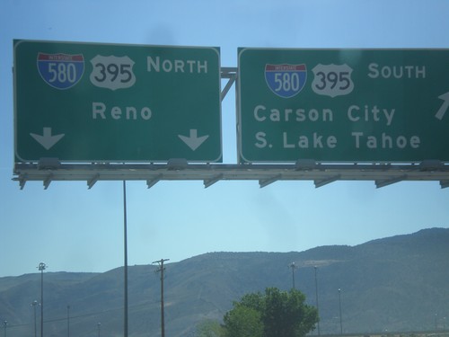
NV-431 East at US-395
NV-431 east at I-580/US-395. For I-580/US-395 north to Reno continue straight. Merge right for I-580/US-395 south to Carson City and South Lake Tahoe.
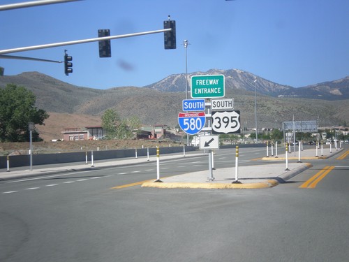
NV-431 East at I-580/US-395 South Freeway Entrance
NV-431 East at I-580/US-395 South Freeway Entrance.
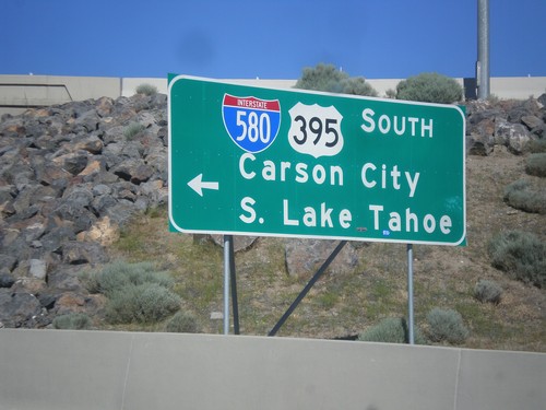
NV-431 East at I-580/US-395 South
NV-431 East at I-580/US-395 South to South Lake Tahoe and Carson City.
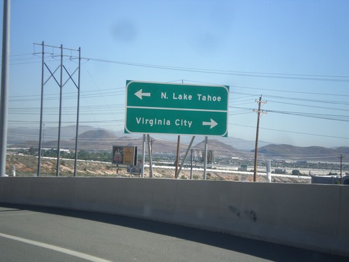
I-580/US-395 North - Exit 56 Offramp
I-580/US-395 North on Exit 56 Offramp. Turn right for NV-431 East (via NV-341) to Virginia City. Turn left for NV-431 West to North Lake Tahoe.
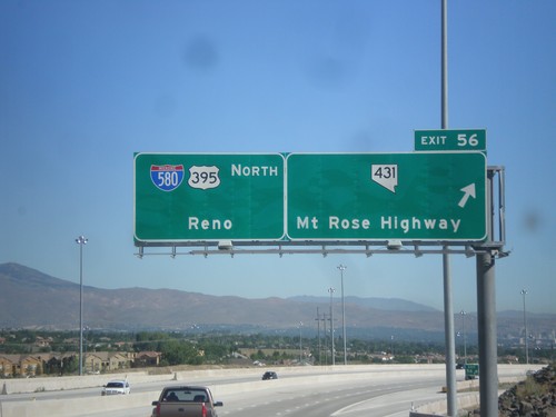
I-580/US-395 North - Exit 56
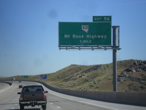
I-580/US-395 North at Exit 56 - NV-431/Mount Rose Highway. Continue north on I-580/US-395 for Reno.
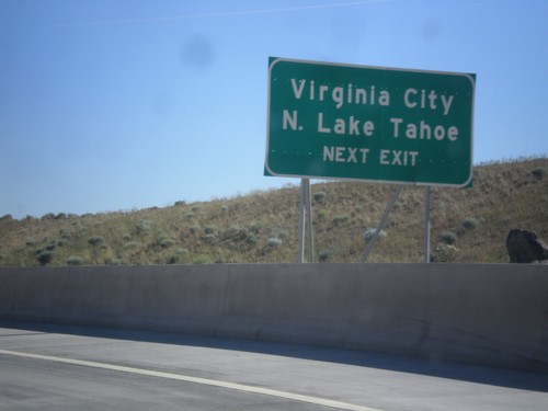
I-580/US-395 North - N. Lake Tahoe/Virginia City
I-580/US-395 North - Use Exit 56 for N. Lake Tahoe and Virginia City (via NV-341).
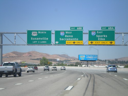
US-395 North - Exits 68A and 68B
US-395 north approaching Exits 68A and 68B. Exit 68A - I-80 East/Sparks/Elko. Exit 68B - I-80 West/Reno/Sacramento (California). US-395 continues north towards Susanville (California). The new signs along the US-395 freeway are using the Clearview font.
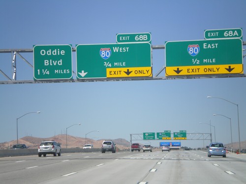
US-395 North Approaching Exits 68AB and 69
US-395 north approaching Exit 68A - I-80 East; Exit 68B - I-80 West, and Exit 69 (exit number not shown) - Oddie Blvd.
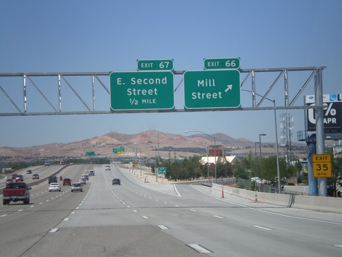
US-395 North - Exits 66 and 67
US-395 north at Exit 66 - Mill St. Approaching Exit 67 - E. Second St.
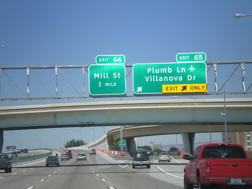
US-395 North - Exits 65 and 66
US-395 north at Exit 65 - Plumb Lane/Villanova Drive. Approaching Exit 66 - Mill St. Use Plumb Lane for the Reno-Tahoe International Airport.
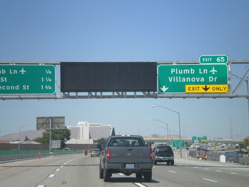
US-395 North Approaching Exit 65
US-395 north approaching Exit 65 - Plumb Lane/Villanova Drive. A distance marker showing the next three Reno exits is on the left side of the picture. The next three exits are: Plumb Lane, Mill St., and E. Second St. Use the Plumb Lane exist for the Reno-Tahoe International Airport.
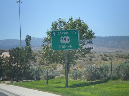
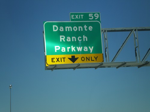
Damonte Ranch Parkway West at US-395
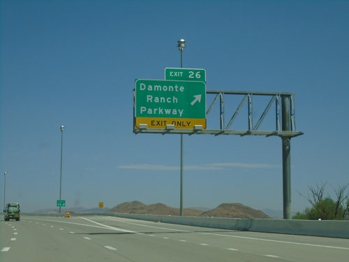
Damonte Ranch Parkway West at US-395. Turn right for US-395 north to Reno. Continue under highway for US-395 south to Carson City.
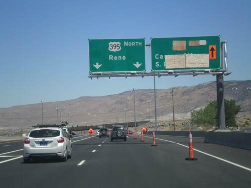
NV-431 East at US-395
NV-431 east at US-395. This is the southern end of the current US-395 freeway. The section between NV-431 and Washoe Lake is expected to be completed in late 2012. For US-395 north to Reno continue straight. In late 2012, the right lanes will be for US-395 south to Carson City and South Lake Tahoe.
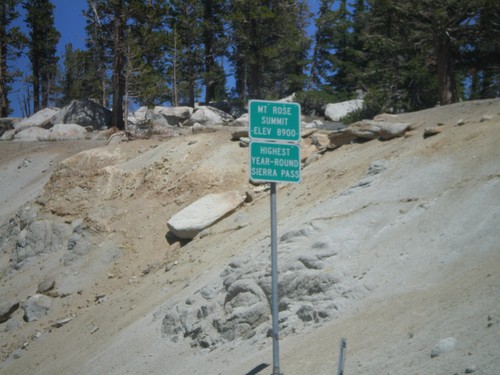
NV-431 East - Mount Rose Summit
NV-431 East at Mount Rose Summit - Elevation 8900 Feet. Mount Rose Summit is one of the few Sierra Nevada passes in Nevada, and is the highest pass open year round in the Sierra Nevada.
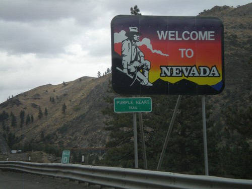
I-80 East - Welcome To Nevada
Welcome To Nevada on I-80 east at the California-Nevada state line. I-80 through Nevada is called the Purple Heart Trail.
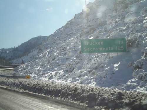
I-80 West - Distance To Truckee and Sacramento
Last distance marker on I-80 west in Nevada. Distance to Truckee and Sacramento. This is one mile from California.
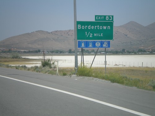
US-395 North Exit 83
US-395 north approaching Exit 83 - Bordertown. This is the last Nevada exit on US-395.
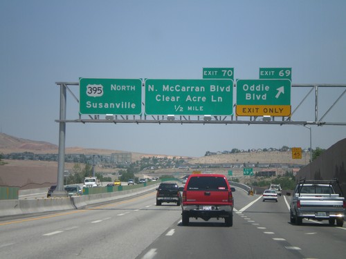
US-395 North Exit 69 and Exit 70
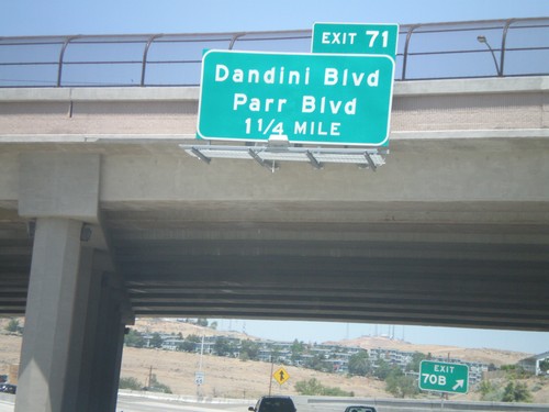
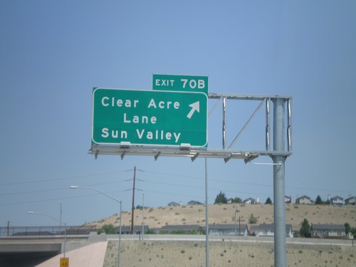
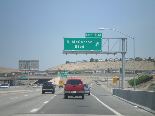
US-395 north at Exit 69 - Oddie Blvd. Approaching Exit 70 - N. McCarran Blvd./Clear Acre Lane. Overhead for US-395 north to Susanville.
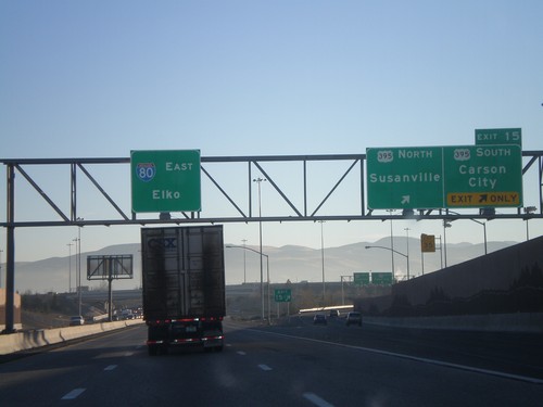
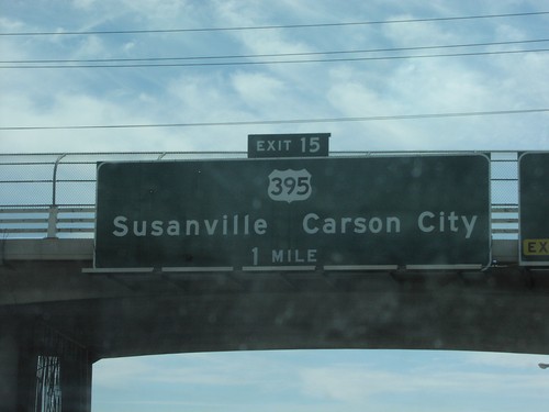
I-80 East Exit 15
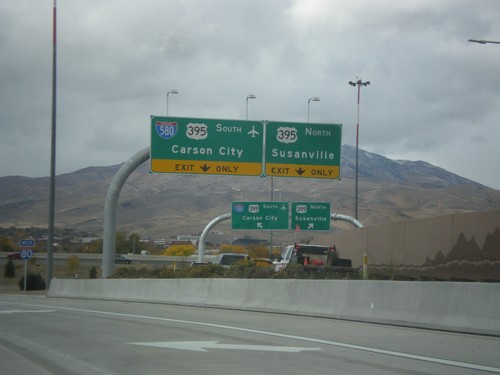
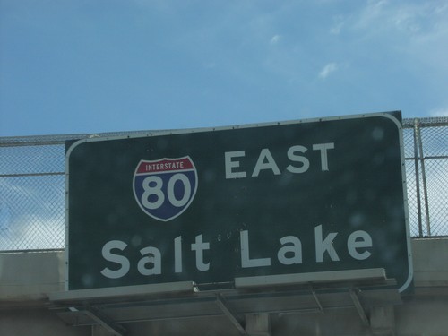
I-80 east at Exit 15 - US-395/Susanville/Carson City. US-395 between Reno and Carson City is currently begin upgraded to a freeway. At that point it will also be called I-580. Overhead for I-80 East to Elko. The control cities in Reno for I-80 east alternate between Elko and Salt Lake.
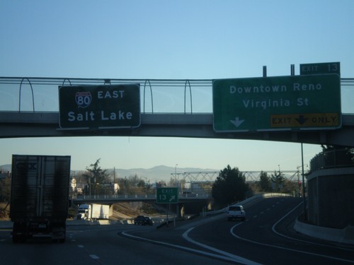
I-80 East Exit 13
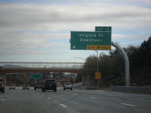
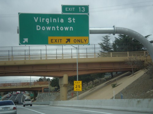
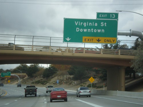
I-80 east at Exit 13 - Downtown Reno/Virginia St. Virginia St. leads south to the Reno equivalent of the Las Vegas Strip. Overhead of I-80 East to Salt Lake
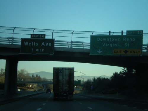
I-80 East Exits 13 and 14
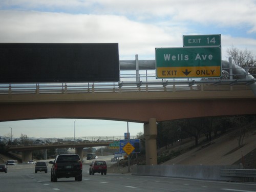
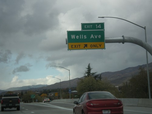
I-80 east approaching Exits 13 and 14. Exit 13 - Downtown Reno/Virginia St., and Exit 14 - Wells Ave.
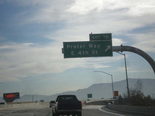
I-80 East - Exit 16
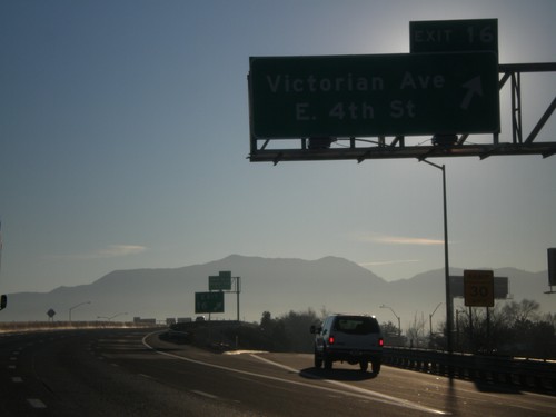
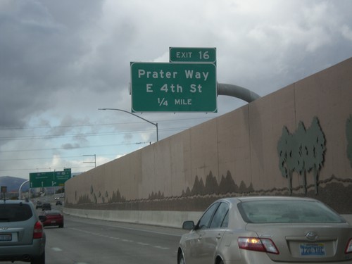
I-80 east at Exit 16 - Prater Way/East 4th St. This exit was renamed in 2012 from Victorian Ave./E. 4th St.
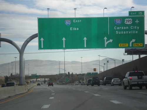
I-80 East - Exit 15
I-80 east at Exit 15 - I-580/US-395/Carson City/Susanville (California). Continue east on I-80 for Elko.
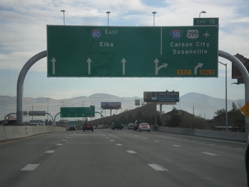
I-80 East Approaching Exit 15
I-80 east approaching Exit 15 - I-580/US-395/Carson City/Susanville (California). Continue east on I-80 for Elko.
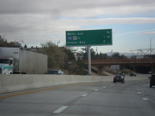
I-80 East - Reno/Sparks Exits
Next 3 Reno/Sparks exits on I-80 East: Wells Ave., I-580/US-395, Prater Way.
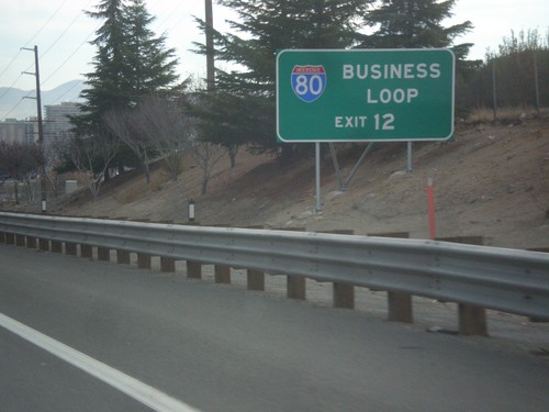
I-80 East - Business Loop I-80 Use Exit 12
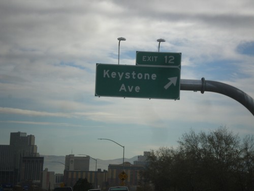
I-80 east approaching Exit 12. Use Exit 12 for Business Loop I-80.
Sparks
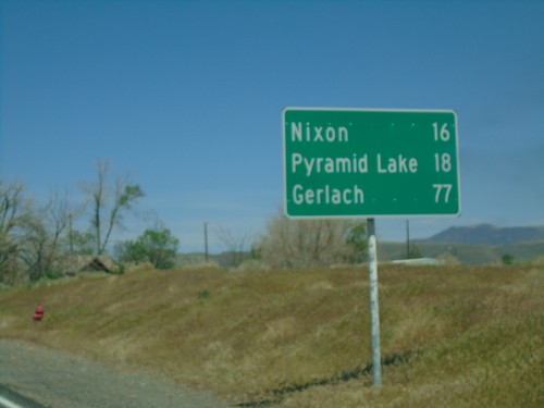
NV-447 North - Distance Marker
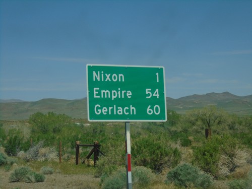
Distance marker on NV-447 North. Distance to Nixon, Pyramid Lake, and Gerlach.
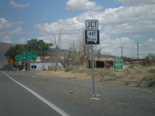
NV-427 East Approaching NV-447
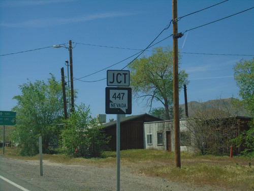
NV-427 East approaching NV-447 in Wadsworth. Turn north on NV-447 for Pyramid Lake and Gerlach.
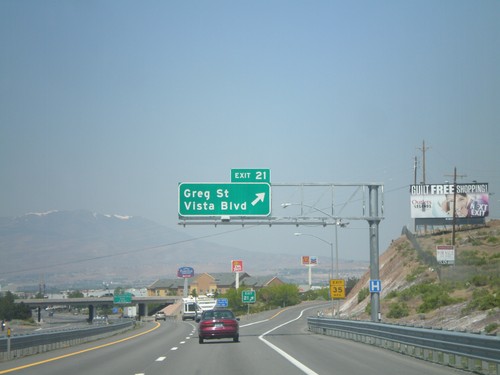
I-80 West - Exit 21
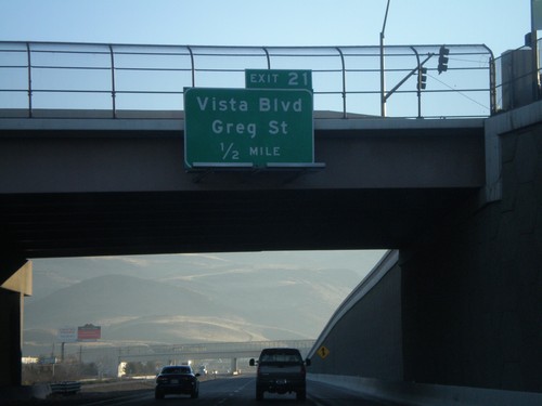
I-80 west at Exit 21 - Greg St./Vista Blvd. This is the first exit in the Reno/Sparks area westbound. The Sierra Nevada are visible in the background of the photo.
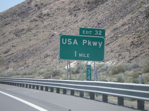
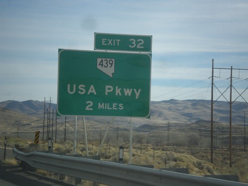
I-80 West Exit 32
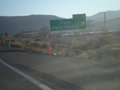
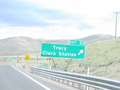
I-80 west approaching Exit 32 - USA Parkway. USA Parkway replaces the Tracy/Clark Station exit. It opened in 2008.
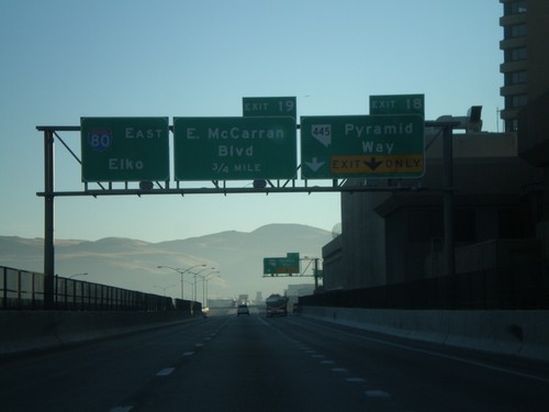
I-80 East Exits 18 and 19
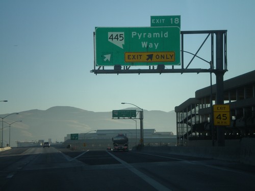
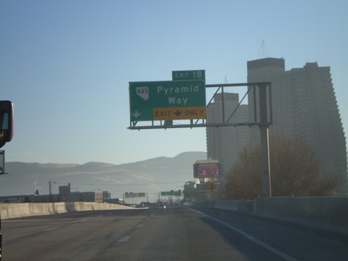
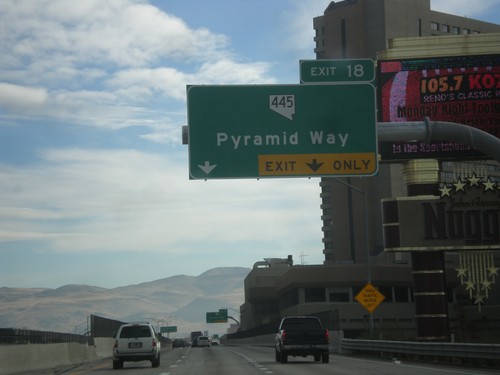
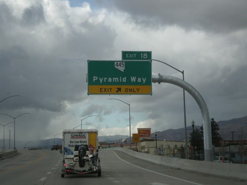
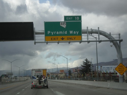
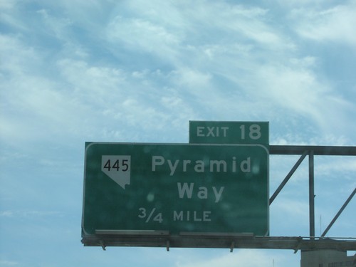
I-80 east approaching Exits 18 and 19. Exit 18 - NV-445/Pyramid Way and Exit 19 - East McCarran Blvd.
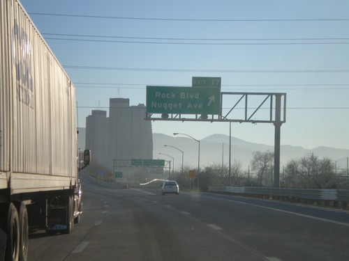
I-80 East Exit 17
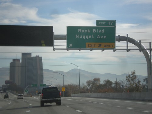
I-80 east at Exit 17 - Rock Blvd./Nugget Ave. The Nugget Casino is in the background.
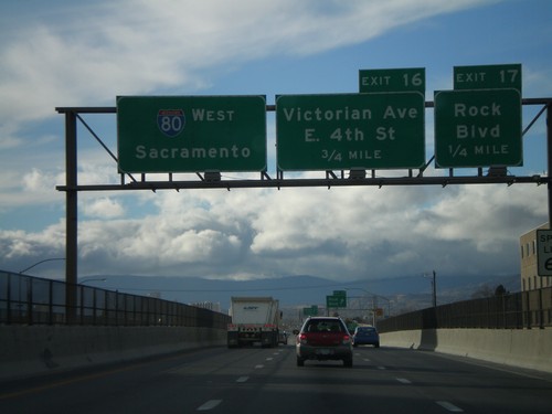
I-80 West Exits 17 and 16
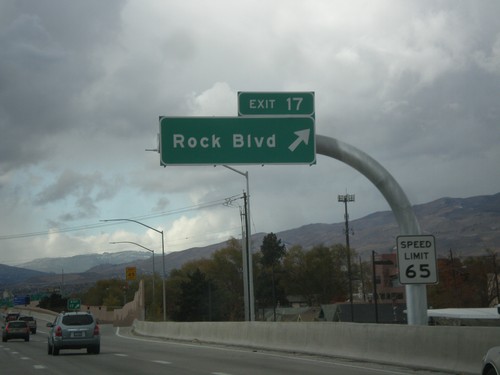
I-80 west approaching Exits 17 and 16. Exit 17 - Rock Blvd., and Exit 18 - Victorian Way/East 4th St.
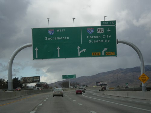
I-80 West - Exit 15
I-80 west at Exit 15 - I-580/US-395/Carson City/Susanville (California). Continue on I-80 west for Sacramento (California).
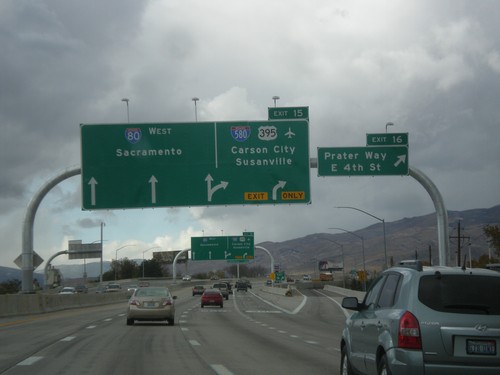
I-80 West - Exits 16 and 15
I-80 west at Exit 16 - Prater Way/E. 4th St. Approaching Exit 15 - I-580/US-395/Carson City/Susanville (California). Continue west on I-80 towards Sacramento (California).
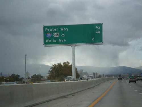
I-80 West - Distance Marker
Distance marker for next three Sparks/Reno area exits on I-80 west. Distance to Prater Way, US-395/I-580, Wells Ave.
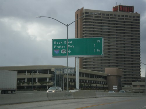
I-80 West - Distance Marker
Distance marker for next three Sparks/Reno exits on I-80 west: Rock Blvd., Prater Way, and US-395/I-580.
Verdi
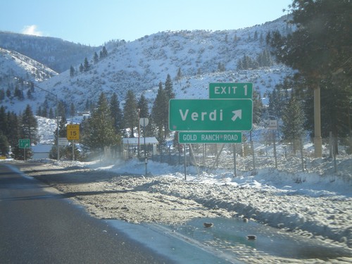
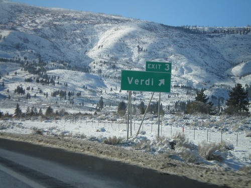
I-80 West - Exit 1
I-80 west at Exit 1 - Verdi. This is the last Nevada exit on I-80. Exit 1 is actually between Mile 2 and 3.
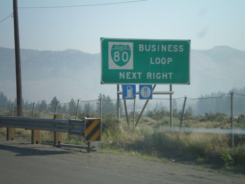
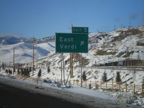
I-80 East Approaching Exit 2
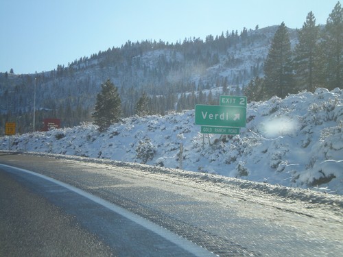
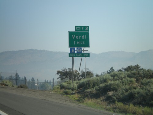
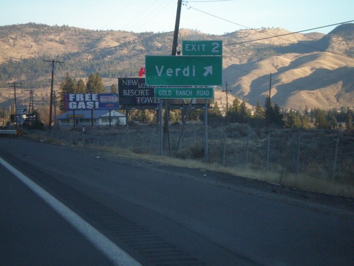
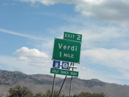
I-80 east approaching Exit 2 - Verdi. Use Exit 2 for Business Loop I-80.
Vya
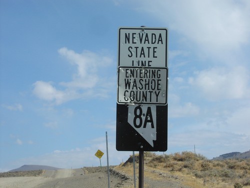
NV-8A East - Nevada State Line
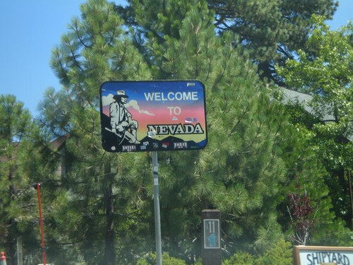
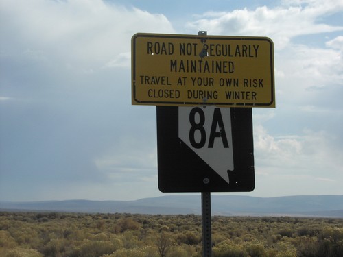
Welcome To Nevada - Washoe County Line and beginning of NV-8A, at California border.
Wadsworth
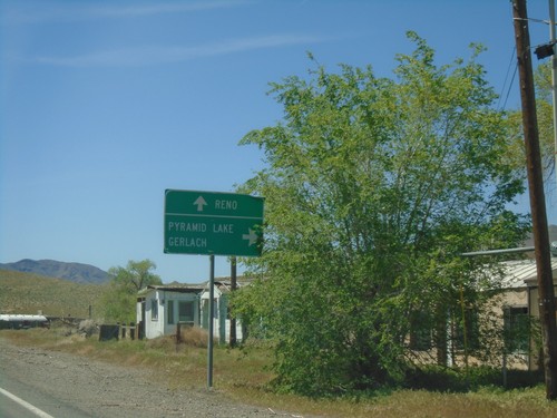
NV-427 West at NV-447 North - Wadsworth
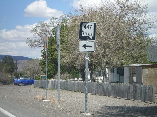
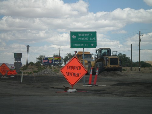
NV-427 West at NV-447 North in Wadsworth. Use NV-447 north for Pyramid Lake and Gerlach. Continue west on NV-427 for Reno.
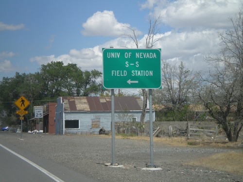
NV-427 East at NV-447 North
NV-427 East at NV-447 North to the University of Nevada S-S Field Station and Pyramid Lake.
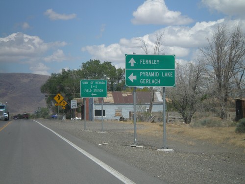
NV-427 East at NV-447
NV-427 east at NV-447 north. Use NV-447 north for Pyramid Lake and Gerlach. Continue east on NV-427 for Fernley.
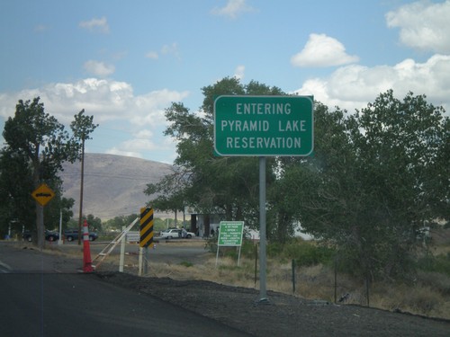
Entering Pyramid Lake Indian Reservation - NV-427 East
Entering Pyramid Lake Indian Reservation on NV-427 East. Pyramid Lake Indian Reservation is home to the Pyramid Lake Paiute Tribe.
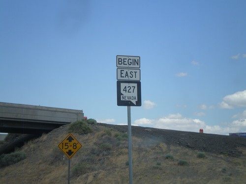
Begin NV-427 East
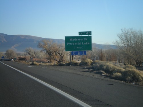
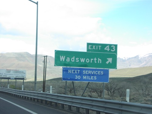
Begin NV-427 East at I-80 (Exit 43). NV-427 runs from Exit 43 on I-80 into Fernley.
