Colfax County, New Mexico
Localities: Angel Fire | Cimarron | Eagle Nest | Guadalupita | Maxwell | Raton | Ute Park
No Place Associated
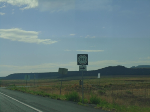
US-64 East/US-87 South at NM-193
US-64 East/US-87 South at NM-193 in Colfax County.
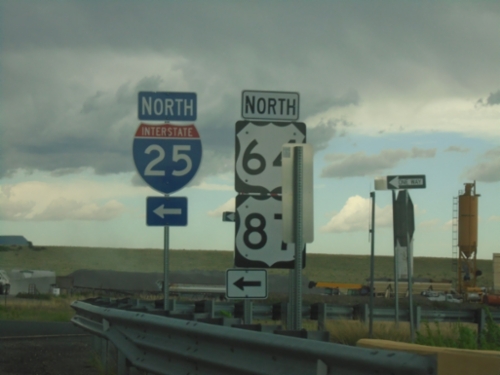
US-64 East at I-25 North
US-64 East at I-25 North (Exit 446) interchange. US-64 joins I-25 northbound to Raton. US-87 is listed here, although I-25 doesn’t reach US-87 until Raton.
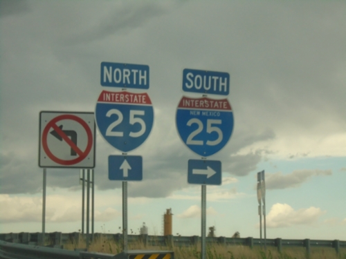
US-64 East at I-25
US-64 East at I-25 (Exit 446) interchange.
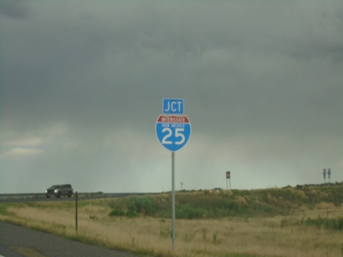
US-64 East Approaching I-25
US-64 East Approaching I-25 (Exit 446) interchange.
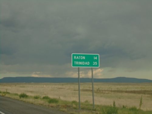
US-64 - Distance Marker
Distance marker on US-64. Distance to Raton and Trinidad (Colorado).
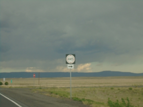
US-64 East at NM-445 South
US-64 East at NM-445 South in Colfax County.
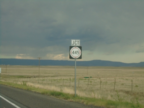
US-64 East Approaching NM-445
US-64 East approaching NM-445 in Colfax County.
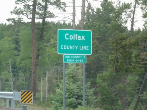
US-64 East - Colfax County Line
Colfax County Line on US-64 east at Palo Flechado Pass between Taos and Angel Fire.
Angel Fire
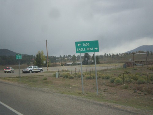
End NM-434 North at US-64
End NM-434 north at US-64. Turn right for US-64 east to Eagle Nest; left for US-64 west to Taos.
Cimarron
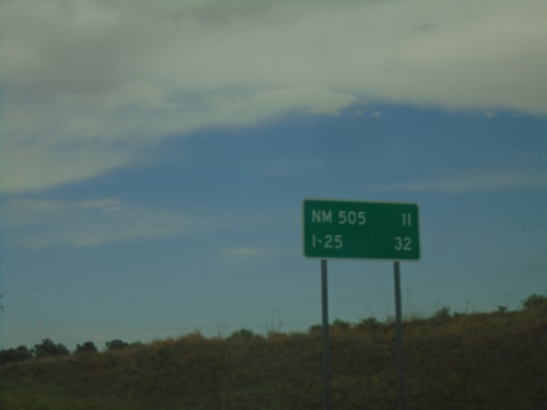
US-64 East - Distance Marker
Distance marker on US-64 east. Distance to NM-505 Junction and I-25 Junction.
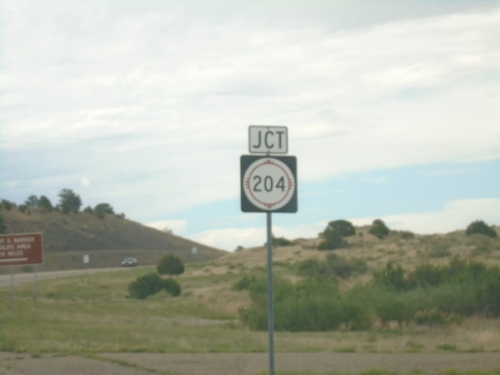
US-64 East at NM-204 Junction
US-64 East at NM-204 Junction to Philmont Scout Ranch
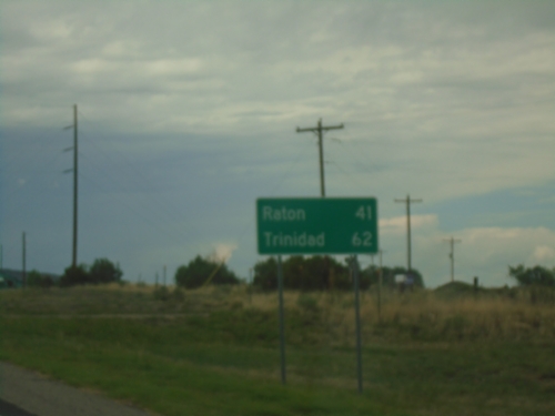
US-64 East - Distance Marker
Distance marker on US-64 East. Distance to Raton and Trinidad (Colorado).
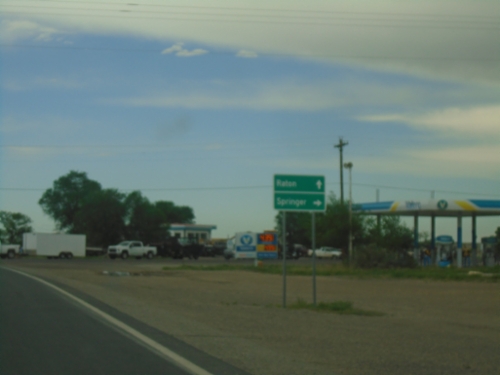
US-64 East at NM-58 East
US-64 East at NM-58 East in Cimarron. Use NM-58 East to Springer; continue east on US-64 to Raton.
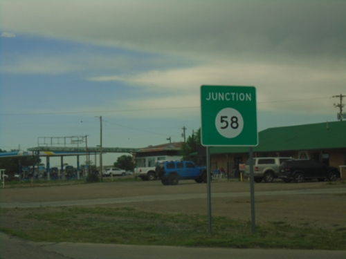
US-64 East Approaching NM-58
US-64 East approaching NM-58 in Cimarron.
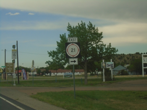
US-64 East at NM-21 East
US-64 East at NM-21 East in Cimarron.
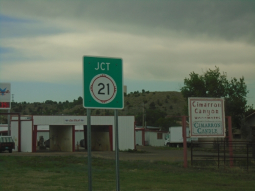
US-64 East Approaching NM-21
US-64 East approaching NM-21 in Cimarron.
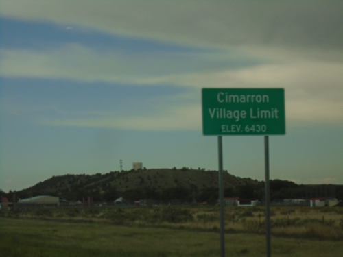
US-64 East - Cimarron
Cimarron Village Limit - Elevation 6430 Feet on US-64 east.
Eagle Nest
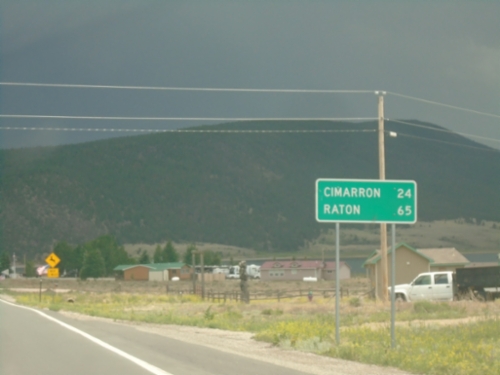
US-64 East - Distance Marker
Distance marker on US-64 east. Distance to Cimarron and Raton.
US-64 East - Eagle Nest
US-64 East in Eagle Nest.
US-64 East at NM-38
US-64 East at NM-38 in Eagle Nest.
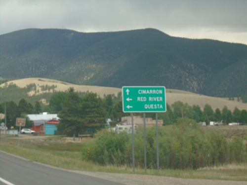
US-64 East at NM-38
US-64 East at NM-38 in Eagle Nest. Use NM-38 West to Red River and Questa. Use US-64 East to Cimarron.
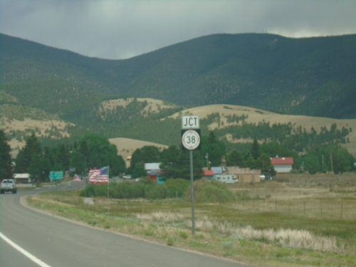
US-64 East Approaching NM-38
US-64 East approaching NM-38 in Eagle Nest.
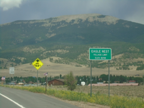
US-64 East - Eagle Nest
Eagle Nest Village Limit on US-64 East. Elevation 8258 Feet.
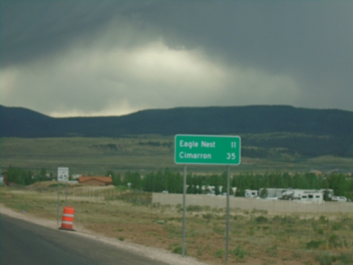
US-64 East - Distance Marker
Distance marker on US-64 east. Distance to Eagle Nest and Cimarron.
Guadalupita
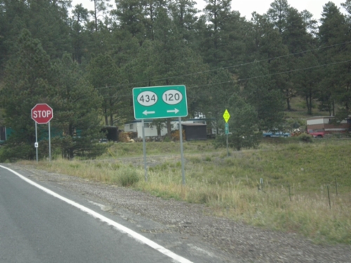
NM-434 North at NM-120
NM-434 north at NM-120 in Colfax County. Turn right for NM-120, turn left to continue north on NM-434.
Maxwell
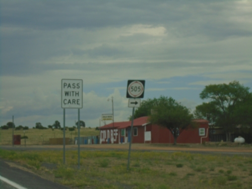
US-64 East at NM-505
US-64 East at NM-505 in Colfax County.
Raton
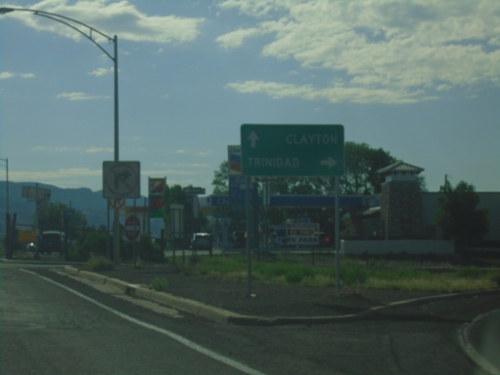
US-64 East/US-87 South at I-25 North
US-64 East/US-87 South at I-25 North (Exit 451) to Trinidad (Colorado). Continue on US-64 East/US-87 South to Clayton.
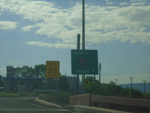
US-64 East/US-87 South at I-25 North
US-64 East/US-87 South at I-25 north to Trinidad (Colorado).
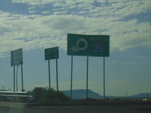
US-64 East at I-25 (Exit 451)
US-64 East at I-25 (Exit 451) in Raton. Use right lane for I-25 North.
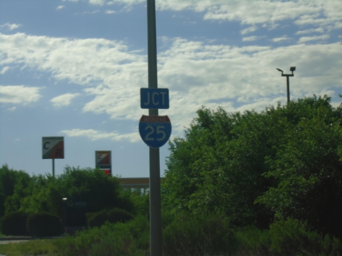
US-64 East Approaching I-25
US-64 East approaching I-25 (Exit 451) in Raton.
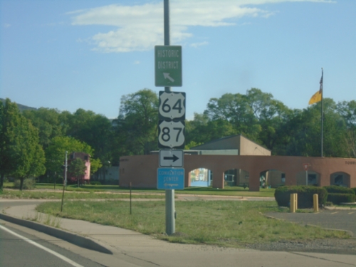
BL-25 North/US-64 East at US-64 East
BL-25 North/US-64 East (2nd St.) at US-64 East (Clayton Road) (To)US-87 in Raton.
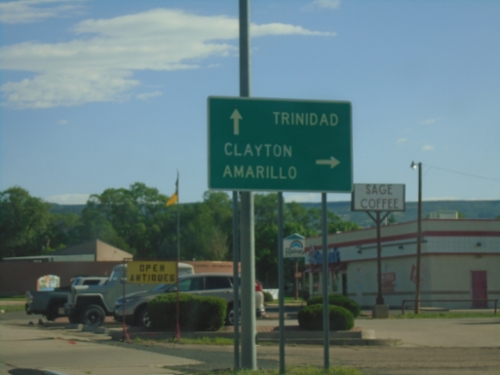
BL-25 North/US-64 East at US-64
BL-25 North/US-64 East (2nd St.) at US-64 (Clayton Road) junction. Turn right to continue east on US-64 to Clayton and Amarillo (Texas). Continue north on BL-25 to Trinidad (Colorado).
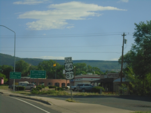
BL-25 North (2nd St.) Approaching US-64/(To)US-87
BL-25 North (2nd St.) Approaching US-64/(To)US-87 (Clayton Road) in Raton.
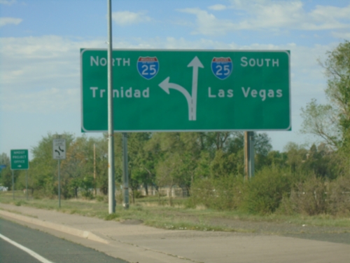
BL-25 South/US-64 West Approaching I-25
BL-25 South/US-64 West (2nd St.) approaching I-25 in Raton. Use I-25 south to Las Vegas; I-25 north to Trinidad (Colorado).
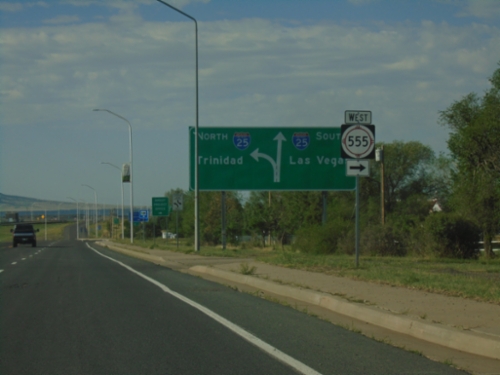
BL-25 South/US-64 West at NM-555 / Approaching I-25
BL-25 South/US-64 West (2nd St.) at NM-555 West. Approaching I-25 South to Las Vegas and North to Trinidad (Colorado).
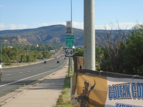
BL-25 North/US-64 East - Raton
BL-25 North/US-64 East (2nd St.) in Raton
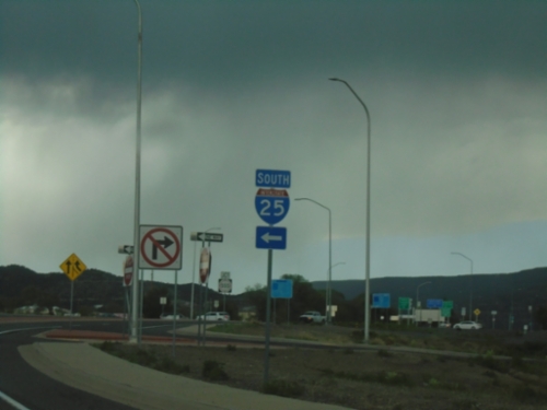
BL-25 North/US-64 East at I-25 South
BL-25 North/US-64 East (2nd St.) at I-25 South
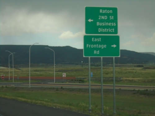
I-25 North - Exit 450 Offramp
I-25 North on Exit 450 Offramp. Turn left for BL-25 North/US-64 East to Raton/2nd St./Business District. Turn right for East Frontage Road.
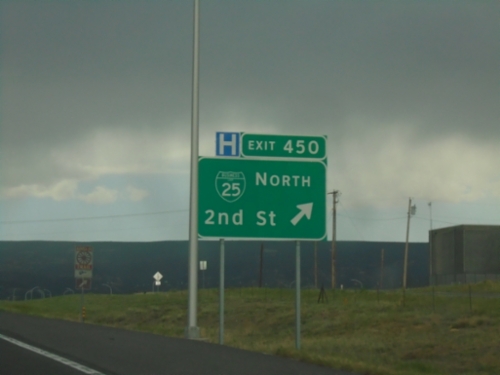
I-25 North - Exit 450
I-25 north at Exit 450 - BL-25 North/2nd St. US-64 East leaves I-25 here.
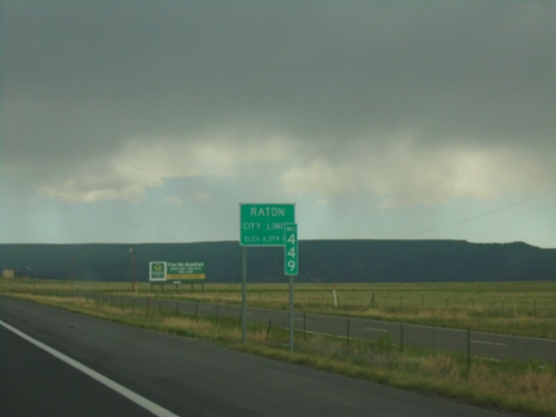
I-25 North - Entering Raton
Raton City Limit - Elevation 6279 Feet on I-25 North. Mile 449.
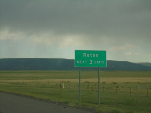
I-25 North - Raton
Raton Next 3 Exits on I-25 North.
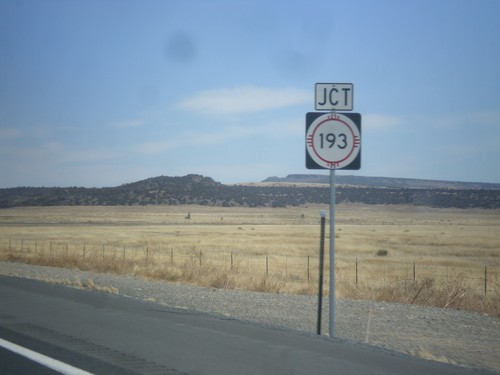
US-64/US-87 East at NM-193 Jct.
US-64/US-87 East at NM-193 Jct. in Colfax County.
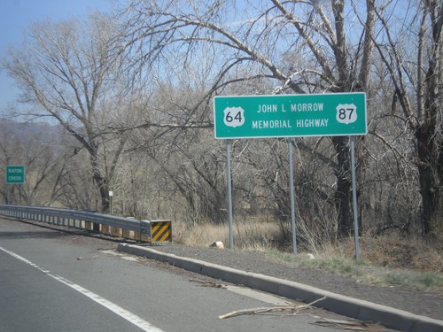
US-64/US-87 East - John L. Morrow Memorial Highway
US-64/US-87 East - John L. Morrow Memorial Highway. I saw a similar sign on US-64/US-87 West leaving Clayton.
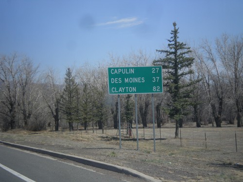
US-64/US-87 East - Distance Marker
Distance marker on US-64/US-87 East to Capulin, Des Moines, and Clayton.
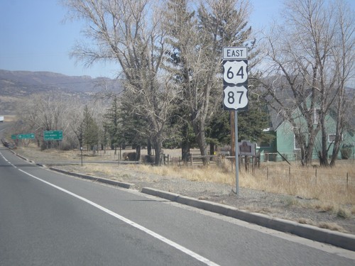
US-64/US-87 East - Raton
US-64/US-87 East shields, leaving Raton.
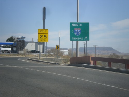
US-64/US-87 East at I-25 North
US-64/US-87 East at I-25 north to Trinidad (Colorado).
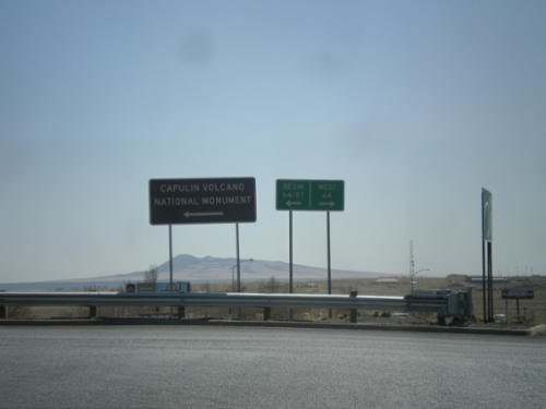
I-25 South Exit 451 Offramp at US-64/US-87
I-25 south Exit 451 Offramp at US-64/US-87. Turn left for US-64/US-87 East; right for US-64 west. This sign for US-64/US-87 in this picture is odd because it is not a standard shield, rather a text based big green sign.
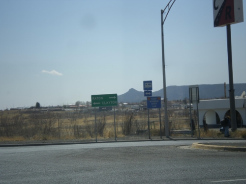
I-25 South Exit 451 Offramp at US-64/US-87
I-25 South - Exit 451 Offramp at US-64/US-87. Turn right for Raton via US-64 west; left for Clayton via US-64/US-87 East.
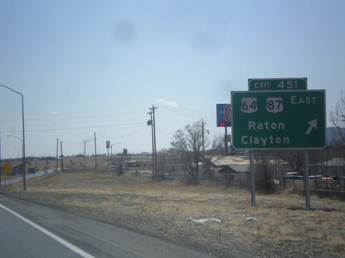
I-25 South - Exit 451
I-25 south at Exit 451 - US-64/US-87/Raton/Clayton.
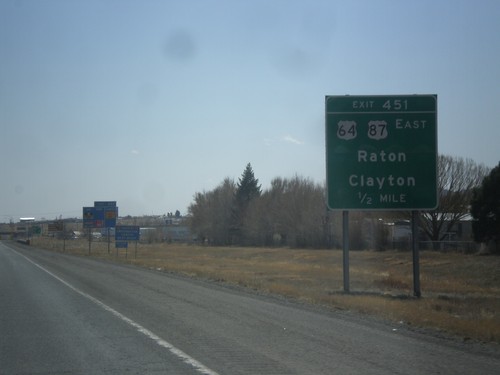
I-25 South - Exit 451
I-25 south approaching Exit 451 - US-64/US-87 East/Raton/Clayton.
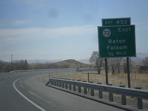
I-25 South - Exit 452
I-25 south approaching Exit 452 - NM-72 East/Raton/Folsom.
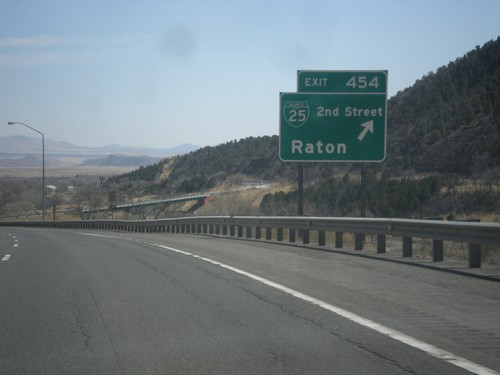
I-25 South - Exit 454
I-25 south at Exit 454 - BL-25/2nd St./Raton. This is the northern end of the Raton business loop. The city of Raton lies at the base of Raton Pass.
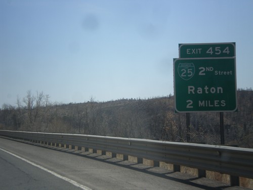
I-25 South Approaching Exit 454
I-25 south approaching Exit 454 - BL-25/2nd St./Raton.
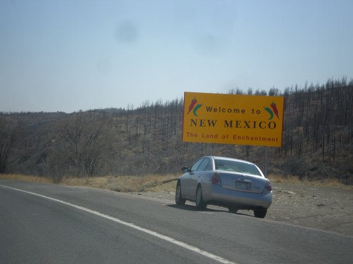
I-25 South - Welcome To New Mexico
Welcome to New Mexico - The Land of Enchantment on I-25 south. Taken about two miles south of the Colorado - New Mexico state line.
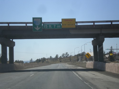
I-25 South - Welcome To New Mexico
Welcome to New Mexico - The Land of Enchantment at Raton Pass.
Ute Park
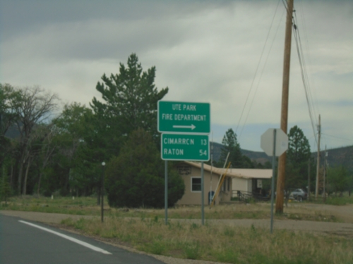
US-64 East - Ute Park
US-64 East at Ute Park Fire Department junction. Continue east on US-64 for Cimarron and Raton.