Javascript Is Required To Use This Page

Rio Arriba County, New Mexico

Localities: Abiquiu | Amargo | Brazos | Canjilon | Cebolla | Chama | Chamisal | Chimayo | Counselor | Coyote | Dixon | El Duende | El Rito | Española | Gallina | Hernandez | La Madera | Los Ojos | Regina | Tierra Amarilla | Tres Piedras

Abiquiu

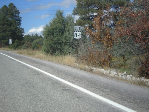
US-84 South - Abiquiu Jct.

US-84 South - Abiquiu Jct.

US-84 South at Abiquiu access.

US-84 South - Distance Marker

US-84 South - Distance Marker

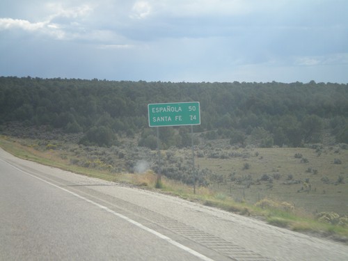
Distance marker on US-84 south to Española and Santa Fe.

US-84 South Approaching NM-115

US-84 South Approaching NM-115

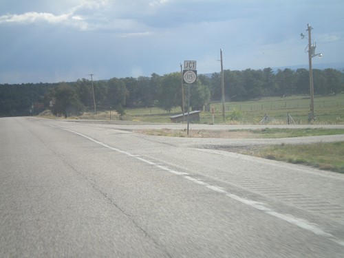
US-84 South approaching NM-115 in Rio Arriba County.

Amargo

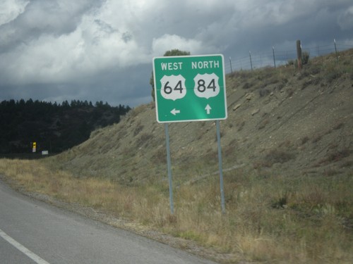
US-64 West/US-84 North at Split

US-64 West/US-84 North at Split

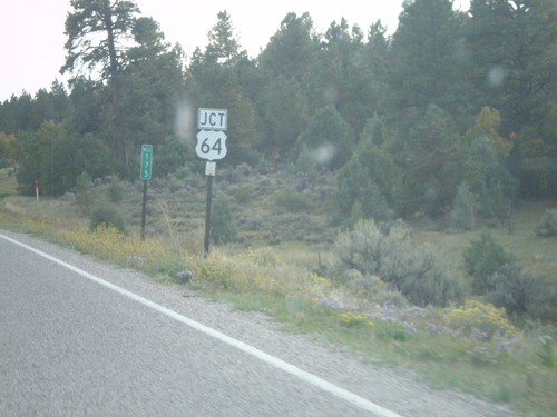
US-64 West/US-84 north at split in Rio Arriba County. US-84 north continues straight; turn left for US-64 west.

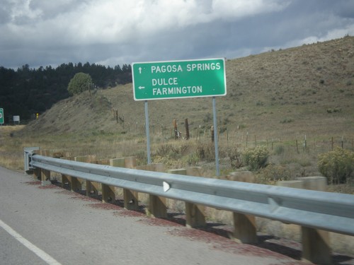
US-64 West/US-84 North Approaching Split

US-64 West/US-84 North Approaching Split

US-64 West/US-84 north approaching US-64/US-84 split. Use US-84 north for Pagosa Springs (Colorado). Turn left for US-64 west to Dulce and Farmington.

Brazos

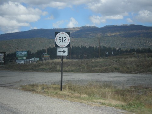
US-64 West/US-84 North - NM-512 Jct.

US-64 West/US-84 North - NM-512 Jct.

US-64 West/US-84 North at NM-512 junction near Tierra Amarilla.

Canjilon

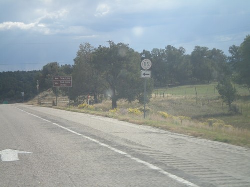
US-84 South at NM-115 East

US-84 South at NM-115 East

US-84 south at NM-115 East. Use NM-115 east for Canjilon and Canjilon Lakes.

Cebolla

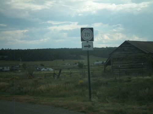
US-84 South at NM-221

US-84 South at NM-221

US-84 South at NM-221 in Cebolla.

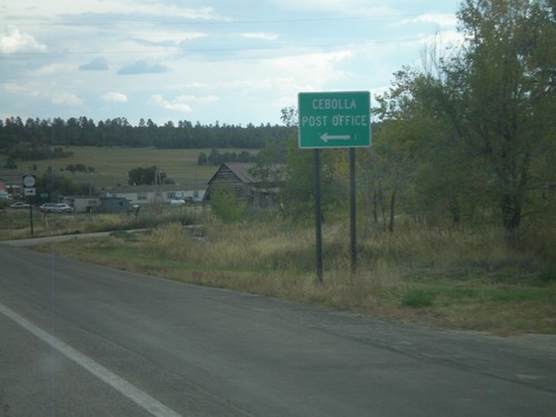
US-84 South at Cebolla Post Office Jct.

US-84 South at Cebolla Post Office Jct.

US-84 South at junction to Cebolla Post Office.

Chama

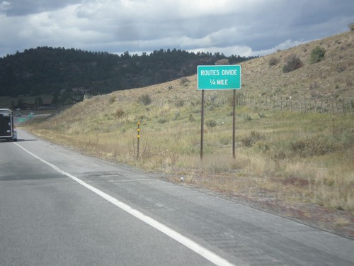
US-64 West/US-84 North - Routes Divide

US-64 West/US-84 North - Routes Divide

Approaching US-64 West/US-84 North route divide in Rio Arriba County.
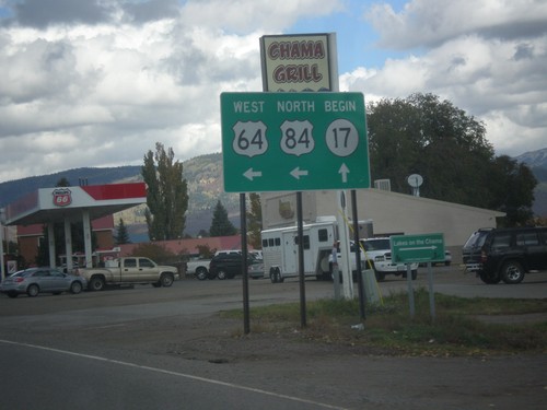
US-64 West/US-84 North at NM-17

US-64 West/US-84 North at NM-17

US-64 West/US-84 north at NM-17 in Chama. Turn left to continue west on US-64/US-84.
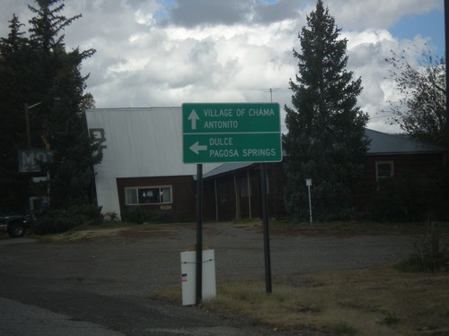
US-64 West/US-84 North Approaching NM-17

US-64 West/US-84 North Approaching NM-17

US-64 West/US-84 North approaching NM-17. Use NM-17 for the Village of Chama and Antonito (Colorado). Turn left to continue west on US-64/US-84 towards Dulce and Pagosa Springs (Colorado).
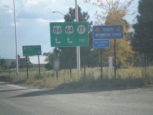
End NM-17 South at US-64/US-84

End NM-17 South at US-64/US-84

End NM-17 South at US-64/US-84 in Chama. Turn right for US-64 West/US-84 North to Dulce and Pagosa Springs (Colorado); continue ahead for US-64 East/US-84 South to Tierra Amarilla and Española.
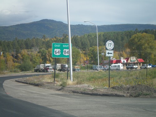
End NM-17 South at US-64/US-84

End NM-17 South at US-64/US-84

NM-17 South approaching US-64/US-84 in Chama.

US-84 South/US-64 East at NM-17

US-84 South/US-64 East at NM-17

US-84 South/US-64 East at NM-17 in Chama. Turn right to continue on US-84 South/US-64 East; turn left for NM-17.
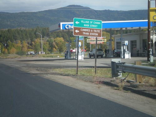
US-84 South/US-64 East at NM-17

US-84 South/US-64 East at NM-17

US-84 South/US-64 East at NM-17. Use NM-17 north for Village of Chama Main St. and Cumbres and Toltec Train Station
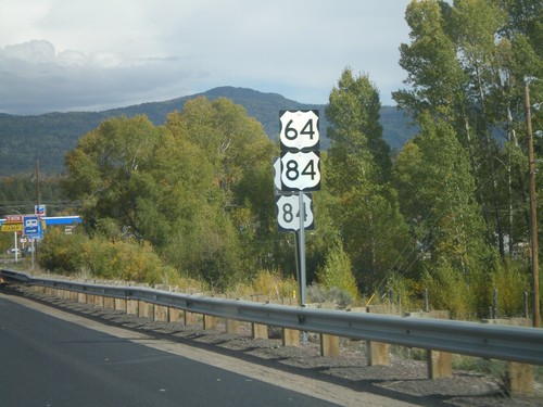
US-64/US-84 in Chama

US-64/US-84 in Chama

US-64/US-84 in Chama. There were two sets of every sign when this picture was taken between US-64/US-84 junction west of here into Chama. There was road construction and it appears new signs were part of the project.
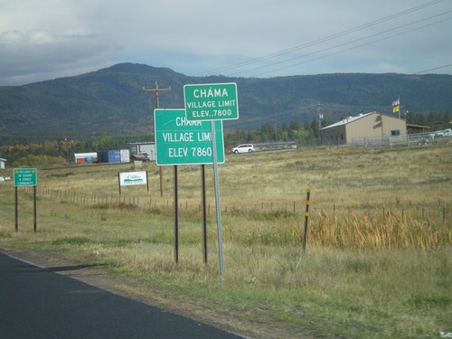
US-64 East/US-84 South - Village of Chama

US-64 East/US-84 South - Village of Chama

US-64 East/US-84 South - Village of Chama (Elevation 7800 Feet).

US-64 East/US-84 South

US-64 East/US-84 South

US-64 East/US-84 South in Rio Arriba County.

US-84 South at US-64

US-84 South at US-64

US-84 south at US-64 junction in Rio Arriba County. Turn left for US-64 west; continue ahead for US-84 South/US-64 east. US-64 joins US-84 through Tierra Amarilla.

US-84 South at US-64

US-84 South at US-64

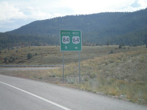
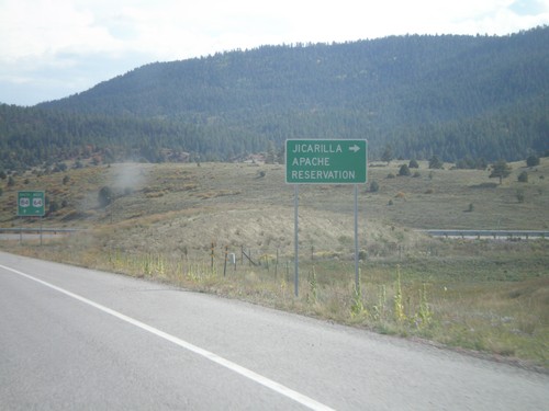
US-84 south at US-64 west to Jicarilla Apache Reservation. US-64 joins US-84 through Tierra Amarilla.

Chamisal

NM-76 North - Taos County

NM-76 North - Taos County

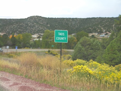
Entering Taos County on NM-76 north. County line signs in New Mexico tend to have the words "County Line" in all capital letters in a smaller font below the county name.

Chimayo

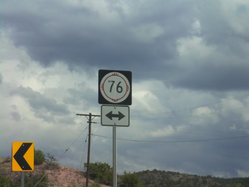
End NM-503 East at NM-76

End NM-503 East at NM-76

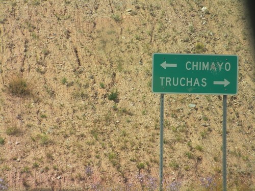
End NM-503 east at NM-76. Turn right on NM-76 for Truchas. Turn left on NM-76 for Chimayo.

End NM-503 East at NM-76

End NM-503 East at NM-76

End NM-503 East at NM-76 in rural Rio Arriba County. NM-76 is the High Road To Taos Scenic Byway.

Counselor

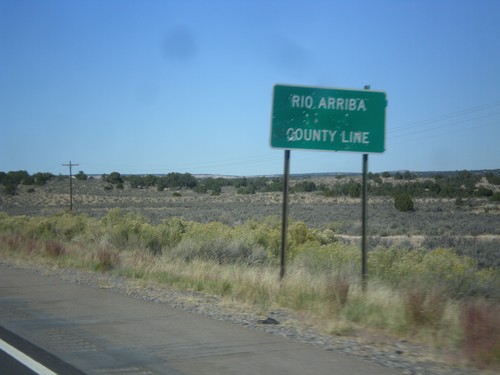
US-550 North - Rio Arriba County Line

US-550 North - Rio Arriba County Line

Rio Arriba County Line on US-550 north.

Coyote

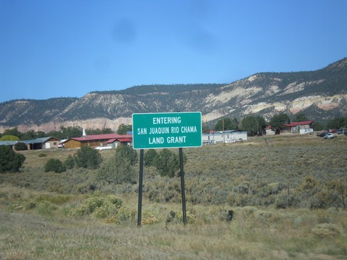
NM-96 West - San Juaquin Rio Chama Land Grant

NM-96 West - San Juaquin Rio Chama Land Grant

Entering the San Juaquin Rio Chama Land Grant on NM-96 west.

Dixon

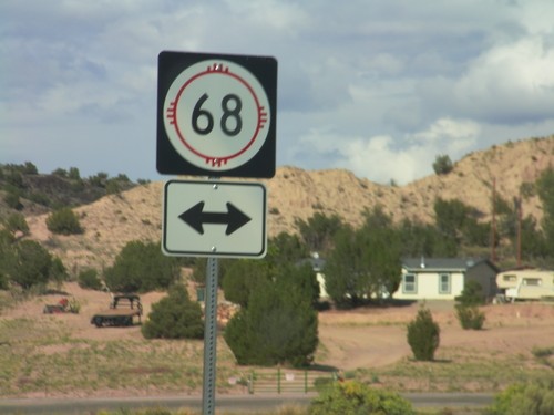
End NM-75 East at NM-68

End NM-75 East at NM-68

End NM-75 east at NM-68 west near the community of Embudo. Turn right (north) on NM-68 for Taos; turn left (south) on NM-68 for Española.

End NM-75 West at NM-68

End NM-75 West at NM-68

End NM-75 West at NM-68 near Embudo.

NM-75 East Approaching NM-68

NM-75 East Approaching NM-68

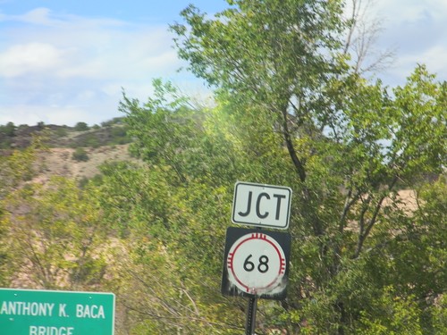
NM-75 East approaching NM-68 at the Anthony K. Baca Bridge over Embudo Creek.

NM-75 East Approaching NM-580

NM-75 East Approaching NM-580

NM-75 East approaching NM-580 in rural Rio Arriba County.

NM-75 West - Rio Arriba County Line

NM-75 West - Rio Arriba County Line

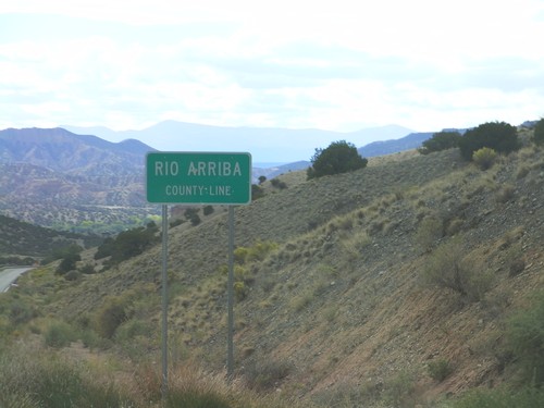
Rio Arriba County Line on NM-75 west.

El Duende

US-84/US-285 South - Rio Arriba County

US-84/US-285 South - Rio Arriba County

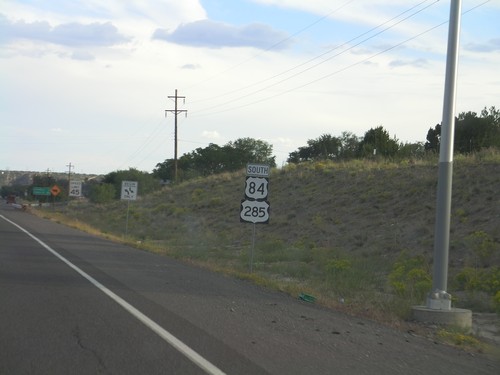
US-84/US-285 South in Rio Arriba County on the outskirts of Española. Taken just south of NM-74 junction.

El Rito

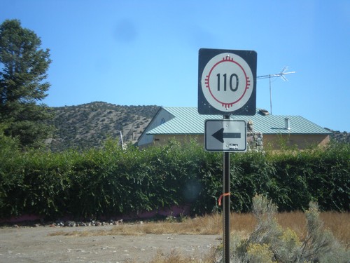
NM-554 North at NM-110

NM-554 North at NM-110

NM-554 north at NM-110 in El Rito.

Española

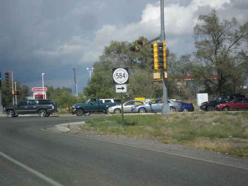
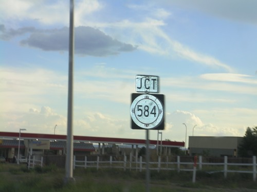
US-84 West/US-285 North at NM-584

US-84 West/US-285 North at NM-584

US-84 West/US-285 North at NM-584 in Espanola.

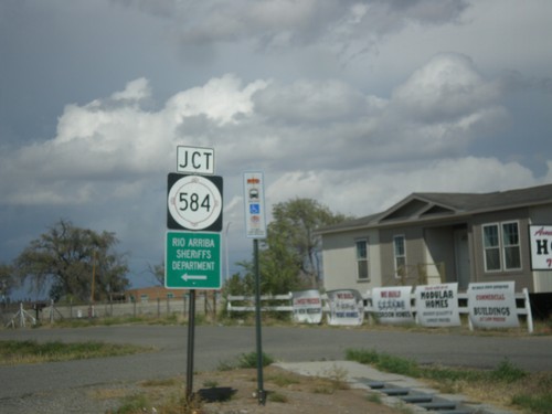
US-285 North/US-84 West Approaching NM-584

US-285 North/US-84 West Approaching NM-584

US-285 North/US-84 West approaching NM-584 in Espanola.

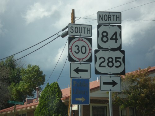
US-285 North/US-84 West at NM-30

US-285 North/US-84 West at NM-30

US-285 North/US-84 West at NM-30 south.

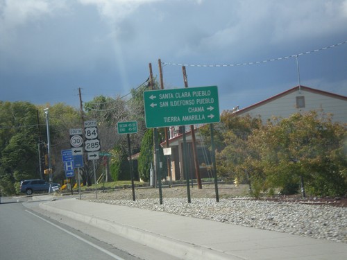
US-84 West/US-285 North Approaching NM-30

US-84 West/US-285 North Approaching NM-30

US-84 West/US-285 North approaching NM-30. Use NM-30 south for Santa Clara Pueblo, and San Ildefonso Pueblo. Continue on US-84 West/US-285 North for Chama and Tierra Amarilla.
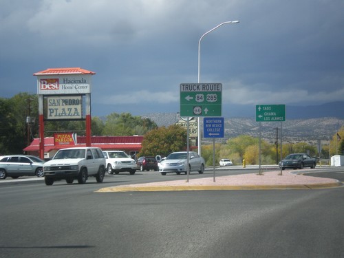
Begin NM-68 North

Begin NM-68 North

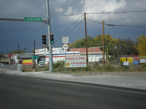
Begin NM-68 north in Espanola.

US-84 West/US-285 North at US-84/US-285 Truck Route

US-84 West/US-285 North at US-84/US-285 Truck Route

US-84 West/US-285 North at US-84/US-285 Truck Route (Santa Clara Bridge Road). Continue north on US-285/US-84 for general route through Espanola and NM-68. Truck traffic turn left for Chama and Los Alamos; continue straight towards Taos (via NM-68).
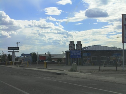
NM-68 South Approaching NM-583/NM-584

NM-68 South Approaching NM-583/NM-584

NM-68 South (Riverside Drive) approaching NM-583/NM-584 (Fairview Lane). Use NM-584 west for Northern New Mexico College.
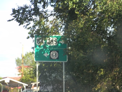
NM-68 South at NM-291 East

NM-68 South at NM-291 East

NM-68 south at NM-291 east. NM-291 east leaves NM-68 south here.

NM-68 South - Española City Limit

NM-68 South - Española City Limit

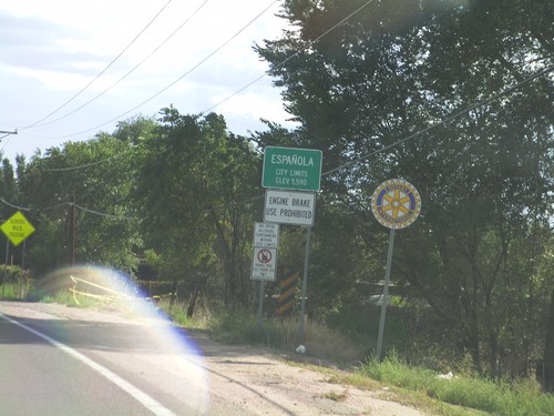
Española City Limit on NM-68 south.

US-84/US-285 South at NM-68

US-84/US-285 South at NM-68

US-84/US-285 South at NM-68. Turn right to continue on US-84/US-285 South. Turn left for NM-68.

US-84/US-285 South - Rio Grande

US-84/US-285 South - Rio Grande

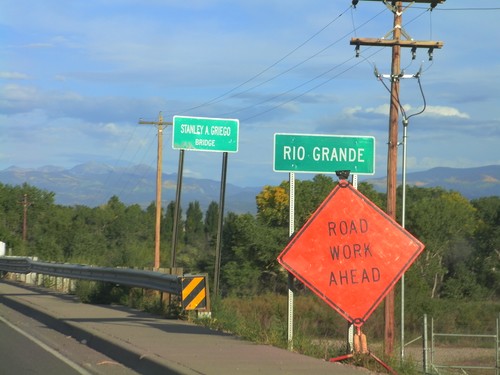
US-84/US-285 South - Rio Grande in Española. The bridge over the Rio Grande is called the Stanley A. Griego Bridge.

US-84/US-285 South Approaching NM-584

US-84/US-285 South Approaching NM-584

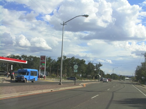
US-84/US-285 South approaching NM-584 (Fairview Drive) in Española.

Gallina

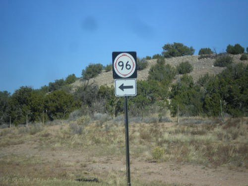
US-84 West At NM-96

US-84 West At NM-96

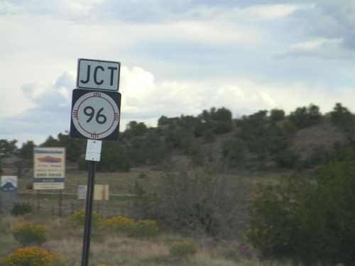
US-84 west at NM-96.

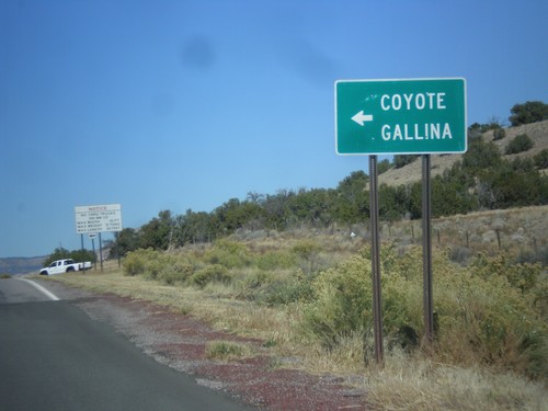
US-84 West Approaching NM-96

US-84 West Approaching NM-96

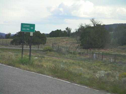
US-84 west approaching NM-96. Turn left for NM-96 west to Coyote and Gallina.

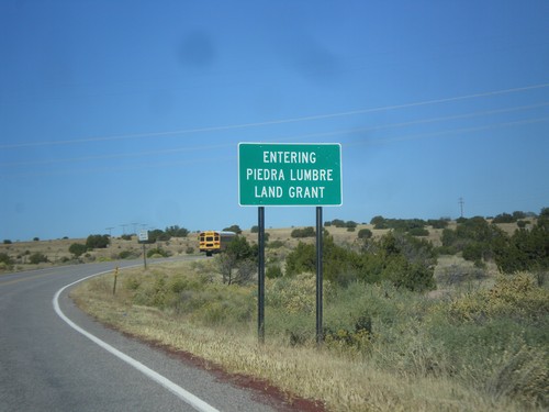
US-84 West - Entering Piedra Lumbre Land Grant

US-84 West - Entering Piedra Lumbre Land Grant

Entering Piedra Lumbre Land Grant on US-84 west.

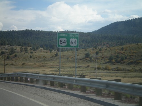
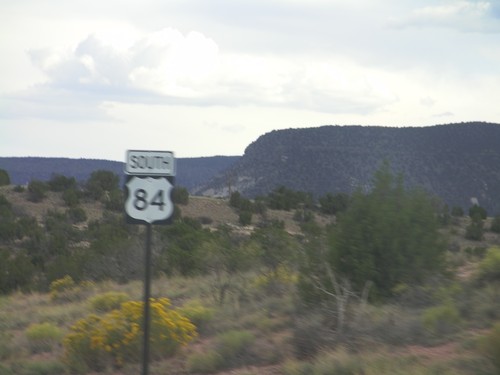
US-84 South - Rio Arriba County

US-84 South - Rio Arriba County

US-84 South in Rio Arriba County, just south of NM-96 jct.

US-84 South at NM-96

US-84 South at NM-96

US-84 south at NM-96 west to Coyote and Gallina

US-84 South Approaching NM-96

US-84 South Approaching NM-96

US-84 South approaching NM-96 west in Rio Arriba County.

Hernandez

End NM-74 West at US-84/US-285

End NM-74 West at US-84/US-285

End NM-74 west at US-84/US-285. Use US-84 West/US-285 North to Chama; use US-84 East/US-285 South to Espanola and Santa Fe.
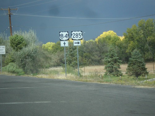
US-84 West/US-285 North at US-84/US-285 Split

US-84 West/US-285 North at US-84/US-285 Split

US-84 West/US-285 North at US-84/US-285 split. Turn right for US-285 north; continue straight for US-84 west.
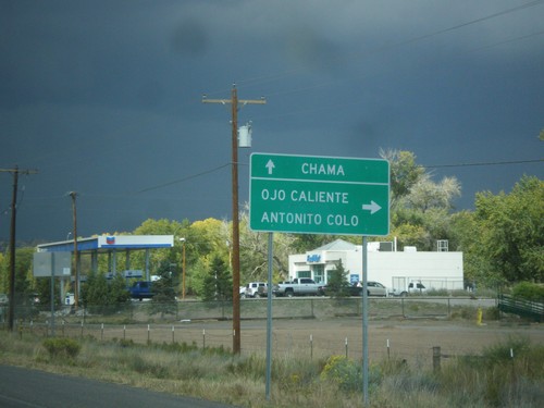
US-84 West/US-285 North Approaching US-84/US-285 Split

US-84 West/US-285 North Approaching US-84/US-285 Split

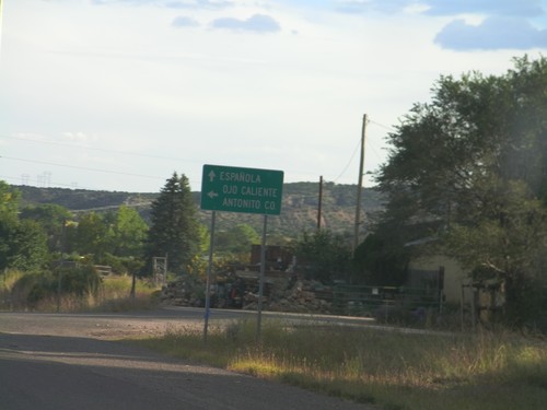
US-84 West/US-285 North approaching US-84/US-285 split. Turn right for US-285 north to Ojo Caliente and Antonito, Colorado. Continue west on US-84 for Chama.
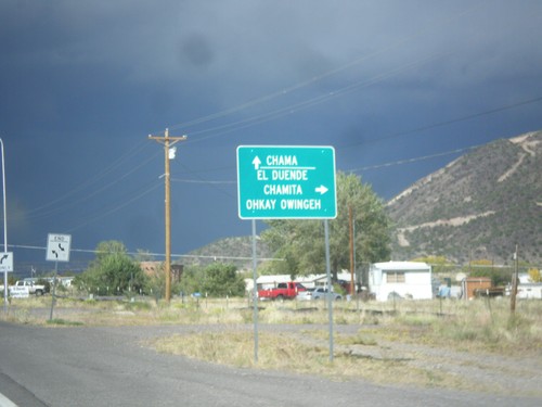
US-285 North/US-84 West at NM-74

US-285 North/US-84 West at NM-74

US-285 North/US-84 west at NM-74.

US-84 West/US-285 North Approaching NM-74

US-84 West/US-285 North Approaching NM-74

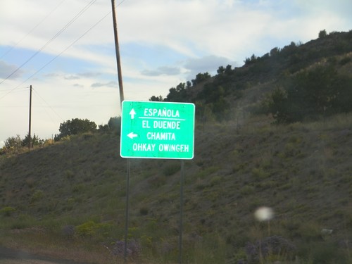
US-84 West/US-285 North approaching NM-74. Turn right on NM-74 for El Duende, Chamita and Ohkay Owingeh. Continue north on US-84 West/US-285 North for Chama.

US-84/US-285 South at NM-74 East

US-84/US-285 South at NM-74 East

US-84/US-285 South at NM-74 East. Turn right on NM-74 for El Duende, Chamita, Ohkay Owingeh. Continue ahead on US-84/US-285 South for Española.

US-84/US-285 South Approaching NM-74

US-84/US-285 South Approaching NM-74

US-84/US-285 South approaching NM-74 near El Duende.

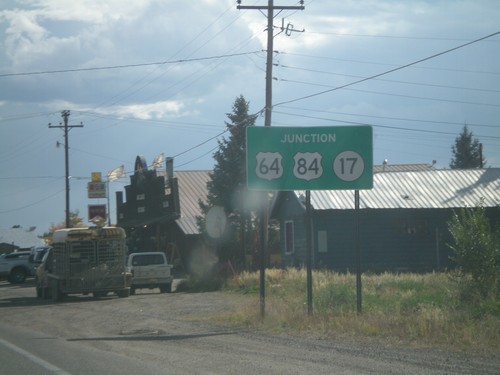
US-84 South at US-285

US-84 South at US-285

US-84 south at US-285. Turn left for US-285 north to Ojo Caliente and Antonio, Colorado. Continue south on US-84/US-285 South towards Española. US-285 joins US-84 south through Santa Fe.

La Madera

End NM-554 at NM-111

End NM-554 at NM-111

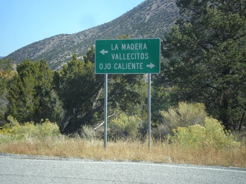
End NM-554 at NM-111. Turn right on NM-111 for Ojo Caliente; left for La Madera and Vallecitos.

Los Ojos

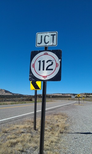
US-84/US-64 West - NM-112 Jct

US-84/US-64 West - NM-112 Jct

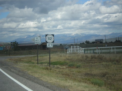
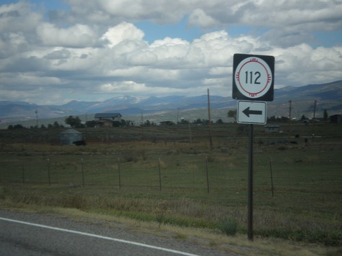
US-84/US-64 West at NM-112 junction, near Tierra Amarilla.

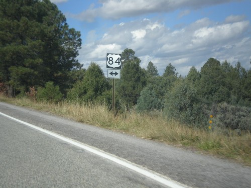
US-64 West at US-84

US-64 West at US-84

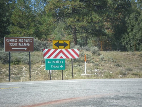
US-64 west at US-84. Turn right to continue west on US-84. US-64 joins US-84, through Chama, and over the Continental Divide. Turn left on US-64/US-84 for Chama and the Cumbres and Toltec Scenic Railroad; turn right on US-84 for Espanola.

US-64 West Approaching US-84

US-64 West Approaching US-84

US-64 west approaching US-84 in Rio Arriba County.

US-84 South/US-64 East At Split

US-84 South/US-64 East At Split

US-84 South/US-64 East at Split. US-64 turns east here towards Taos. Northbound US-64 joins US-84 to west of Chama.

US-84 South/US-64 East Approaching NM-95

US-84 South/US-64 East Approaching NM-95

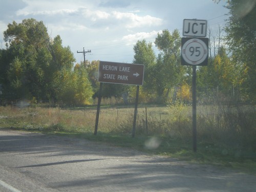
US-84 South/US-64 East approaching NM-95. Use NM-95 for Heron Lake State Park.

Regina

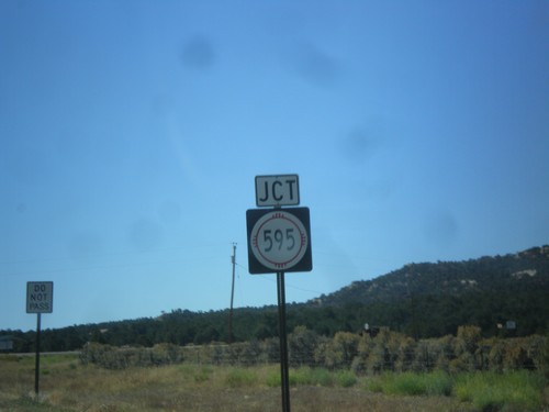
NM-96 West at NM-595

NM-96 West at NM-595

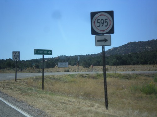
NM-96 west at NM-595 to Lindrith.

NM-95 West Approaching NM-595

NM-95 West Approaching NM-595

NM-95 west approaching NM-595.

NM-96 South Approaching NM-112

NM-96 South Approaching NM-112

NM-96 South approaching NM-112.

Tierra Amarilla

US-64 West/US-84 North Approaching NM-512

US-64 West/US-84 North Approaching NM-512

US-64 West/US-84 North approaching NM-512 near Tierra Amarilla.
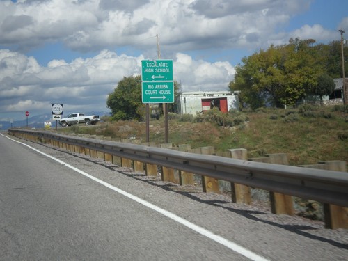
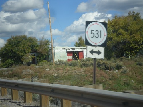
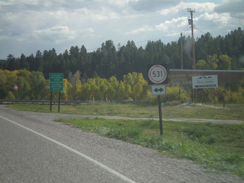
US-64 West/US-84 North at NM-531

US-64 West/US-84 North at NM-531

US-64 West/US-84 north at NM-531 near Tierra Amarilla.

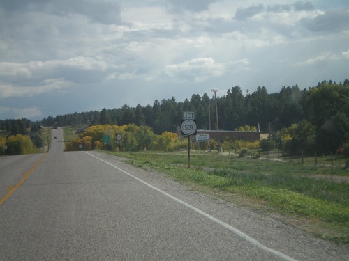
US-64 West/US-84 North Approaching NM-531

US-64 West/US-84 North Approaching NM-531

US-64 West/US-84 North approaching NM-531. Turn left for Escalante High School; turn right for Rio Arriba Court House (in Tierra Amarilla).
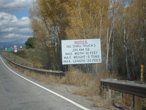
US-64 West/US-84 North - No Thru Trucks on NM-112

US-64 West/US-84 North - No Thru Trucks on NM-112

US-64 West/US-84 North approaching NM-531 junction. No thru trucks on NM-112.
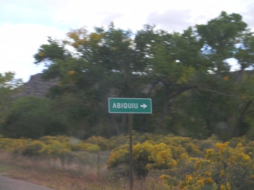
US-64 West Approaching US-84

US-64 West Approaching US-84

US-64 west approaching US-84 in Rio Arriba County.
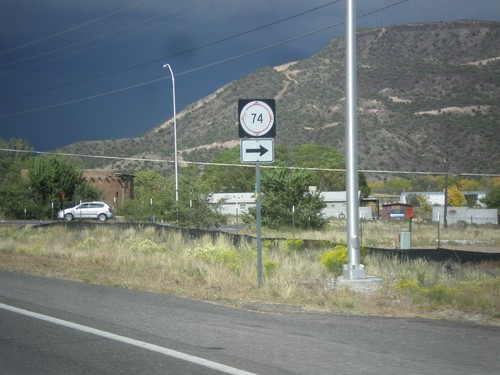
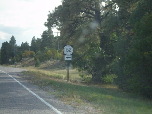
US-84 South at NM-162

US-84 South at NM-162

US-84 South at NM-162 in Rio Arriba County.

US-84 South/US-64 East at NM-531

US-84 South/US-64 East at NM-531

US-84 South/US-64 East at NM-531 in Tierra Amarilla. Turn right on NM-531 for Escalante High School; left for Rio Arriba (County) Court House.

US-84 South/US-64 East Approaching NM-531

US-84 South/US-64 East Approaching NM-531

US-84 South/US-64 East approaching NM-531 in Tierra Amarilla.

Tres Piedras

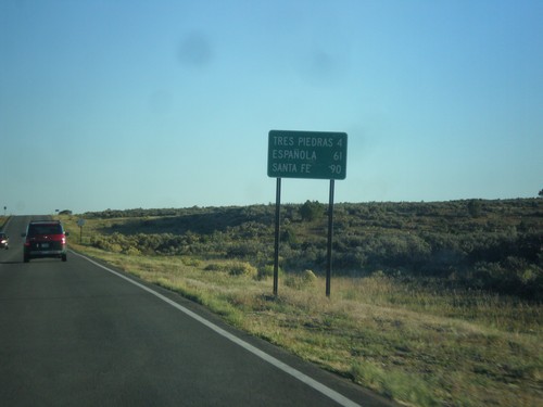
US-285 South - Distance Marker

US-285 South - Distance Marker

Distance marker on US-285 south. Distance to Tres Piedras, Espanola, and Santa Fe.