Sandoval County, New Mexico
Localities: Algodones | Bernalillo | Counselor | Cuba | Rio Rancho | San Ysidro
Algodones
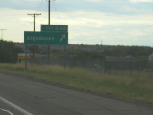
I-25 South - Exit 248
I-25 south at Exit 248 - Algodones.
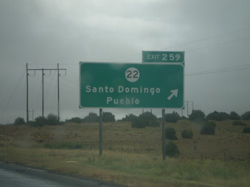
I-25 North - Exit 259
I-25 north at Exit 259 - NM-22/Santo Domingo Pueblo.
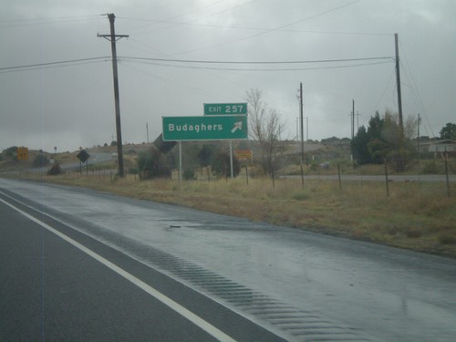
I-25 North - Exit 257
I-25 north at Exit 257 - Budaghers.
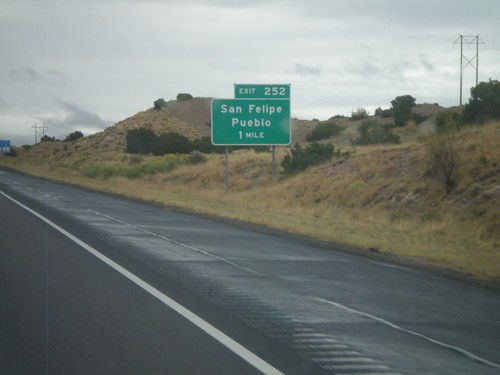
I-25 North - Exit 252
I-25 north approaching Exit 252 - San Felipe Pueblo.
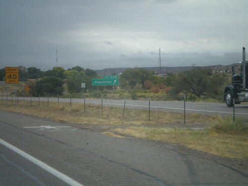
I-25 North - Exit 248
I-25 north at Exit 248 - Algodones.
Bernalillo

US-550 North at NM-313
US-550 north at NM-313 - Camino del Pueblo. This type of sign attached to traffic lights with a highway shield is common throughout New Mexico.
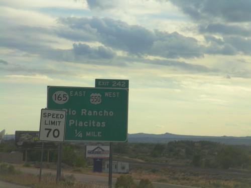
I-25 South - Exit 242
I-25 south approaching Exit 242 - US-550 West/NM-165 East/Rio Rancho/Placitas. This is the southern end of US-550. The speed limit drops from 75 miles per hour to 70 miles per hour as the highway enters the edge of the Albuquerque metropolitan area.
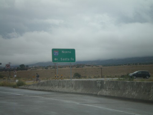
End US-550 South at I-25 North
End US-550 South at I-25 north to Santa Fe. NM-165 begins here and heads towards Placitas.
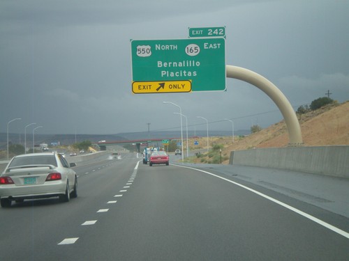
I-25 North - Exit 242
I-25 north at Exit 242 - US-550 North/NM-165 East/Bernalillo/Placitas. This is the southern end of US-550.
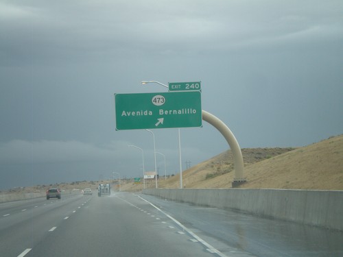
I-25 North - Exit 240
I-25 north at Exit 240 - NM-473/Avenida Bernalillo.
Counselor
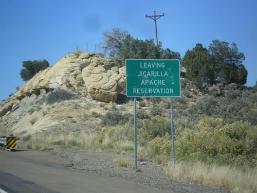
US-550 North - Leaving Jicarilla Apache Reservation
Leaving Jicarilla Apache Reservation on US-550 north.
Cuba
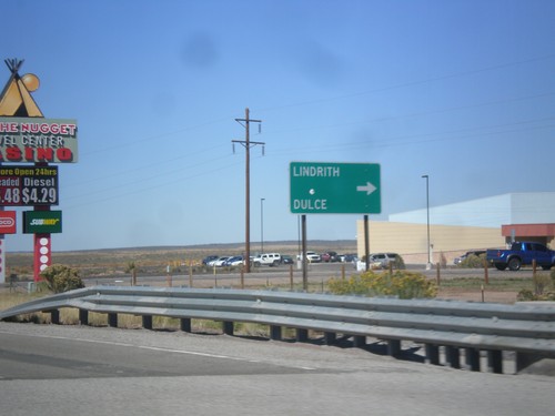
US-550 North at NM-573
US-550 north at NM-573 north to Dulce and Lindrith.
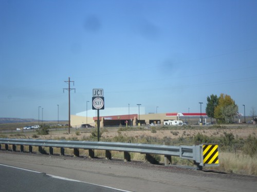
US-550 North Approaching NM-537
US-550 north approaching NM-537.
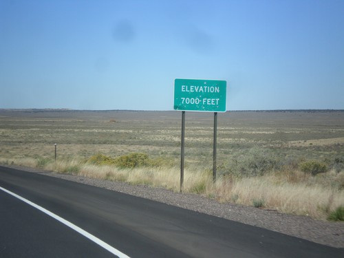
US-550 North - Elevation 7000 Feet
Elevation 7000 Feet, descending from the Continental Divide on US-550 north.
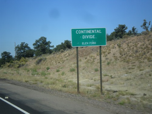
US-550 North - Continental Divide
Continental Divide - Elevation 7380 Feet on US-550 north. This is the divide between the San Juan River drainage and the Rio Grande drainage.
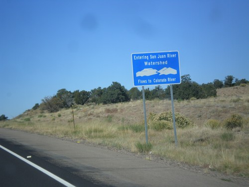
US-550 North - San Juan River Watershed
Entering the San Juan River watershed at the Continental Divide on US-550 north. The San Juan River flows into the Colorado River.
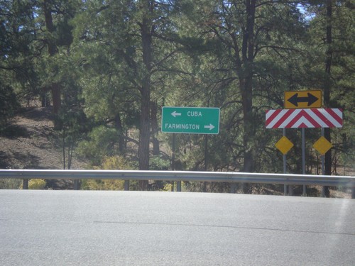
End NM-96 West at US-550
End NM-96 west at US-550. Turn right for Farmington; turn left for Cuba.
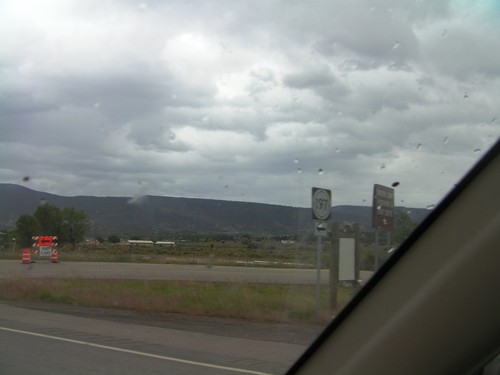
US-550 North at NM-197
US-550 North at NM-197 in Cuba.
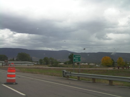
US-550 North at NM-197
US-550 north at NM-197 south to Crownpoint, Grants, and Gallup.
Rio Rancho
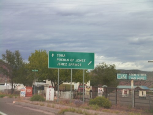
US-550 North at NM-4
US-550 north at NM-4 north to Jemez Pueblo and Jemez Springs. Continue north on US-550 for Cuba.
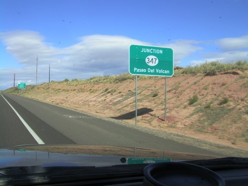
US-550 North Approaching NM-347
US-550 North approaching NM-347 - Paseo Del Volcan.
San Ysidro
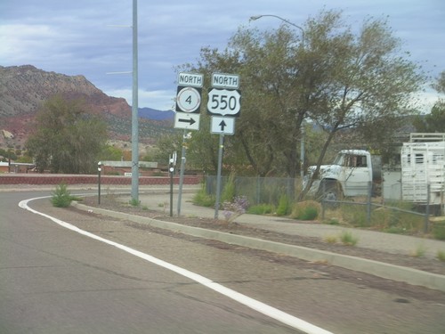
US-550 North at NM-4
US-550 north at NM-4 North in San Ysidro.
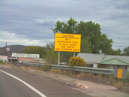
US-550 North Approaching NM-4
US-550 north approaching NM-4. NM-4 is a mountainous road 44 miles north of here and is not advised for trucks.