Union County, New Mexico
Localities: Capulin | Clayton | Des Moines | Folsom | Grenville | Royce
No Place Associated
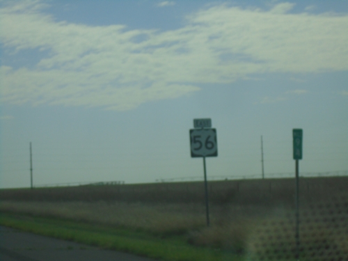
US-56/(US-64)/(US-412) East - Union County
US-56 East - Union County. US-64 and US-412 are omitted from this shield assembly.
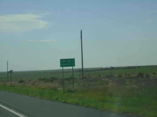
US-56/US-64/US-412 East - Distance Marker
Distance Marker on US-56/US-64/US-412 East. Distance to (Oklahoma) State Line and Boise City (Oklahoma).
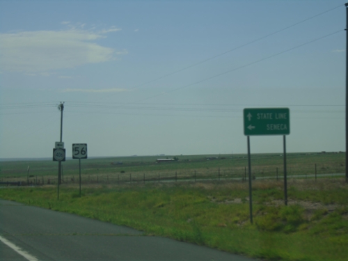
US-56/US-64/US-412 East at NM-406
US-56/US-64/US-412 East approaching NM-406 in Union County. Use NM-406 North to Seneca; continue on US-56/US-64/US-412 East to (Oklahoma) State Line. Only US-56 is shown for the current highway.
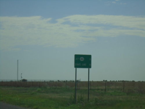
US-56/US-64/US-412 East - Distance Marker
Distance Marker on US-56/US-64/US-412 East. Distance to NM-406 and (Oklahoma) State Line
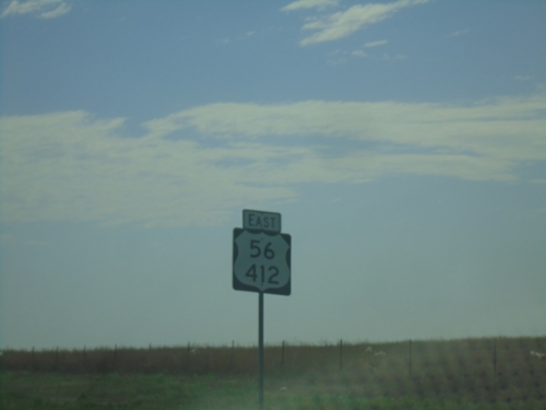
US-56/(US-64)/US-412 East - Union County
US-56/US-412 shield in Union County. This stretch of highway also carries US-64 which is omitted from this shield. There are several instances of this shield along US-56/US-412 in New Mexico.
Capulin
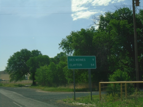
US-64 East/US-87 South - Distance Marker
Distance Marker on US-64 East/US-87 South. Distance to Des Moines and Clayton.
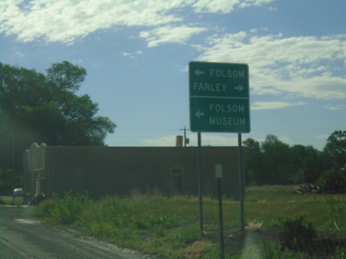
US-64/US-87 East Approaching NM-325
US-64/US-87 East approaching NM-325 north to Folsom and Folsom Museum (in Folsom). Turn right for the county road to Farley.
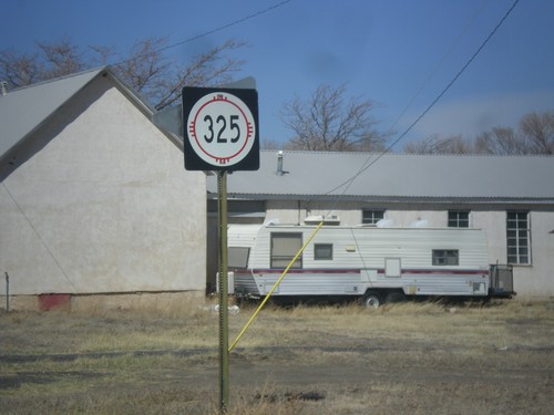
NM-325 North
NM-325 north in Capulin.
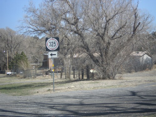
US-64/US-87 East at NM-325 North
US-64/US-87 East at NM-325 North to Folsom.
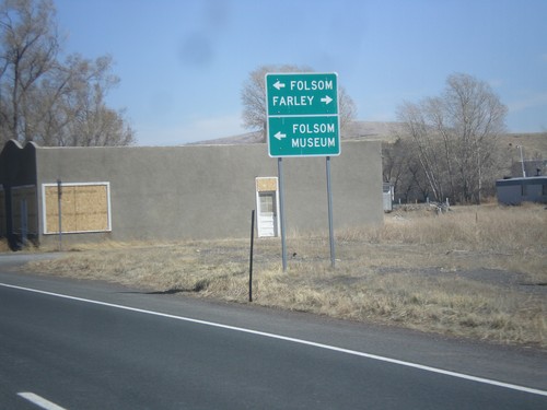
US-64/US-87 East Approaching NM-325
US-64/US-87 East approaching NM-325 north to Folsom and Folsom Museum (in Folsom). Turn right for the county road to Farley.
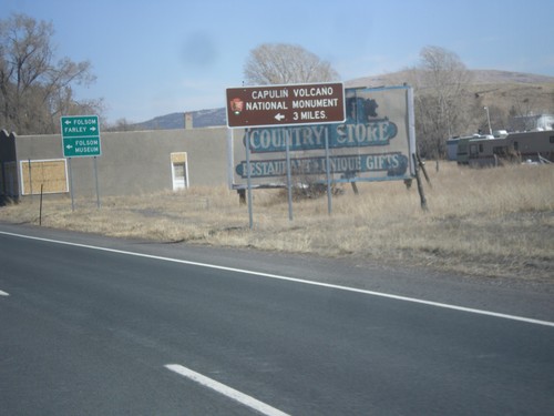
US-64/US-87 East - Capulin National Monument
US-64/US-87 east approaching NM-325. Use NM-325 north for Capulin Volcano National Monument.
Clayton
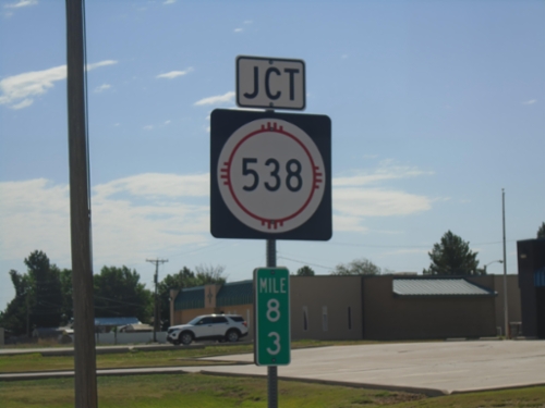
US-56/US-64/US-412 East at NM-538
US-56/US-64/US-412 East at NM-538 in Clayton. Mile 83.
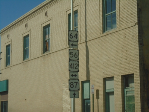
US-64 East/US-87 South at US-56/US-412
US-64 East/US-87 South at US-56/US-412 in Clayton. US-64 and US-87 split here - turn left for US-64 East - continue straight for US-87 South.
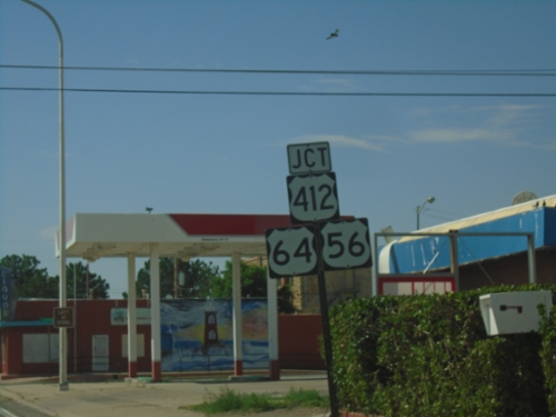
US-64 East/US-87 South at US-56/US-412
US-64 East/US-87 South at US-56/US-412. Turn left to continue east on US-64, which joins US-56/US-412. Continue straight to continue south on US-87.
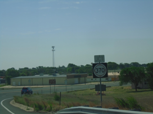
US-64 East/US-87 South Approaching NM-370
US-64 East/US-87 South approaching NM-370 in Clayton.
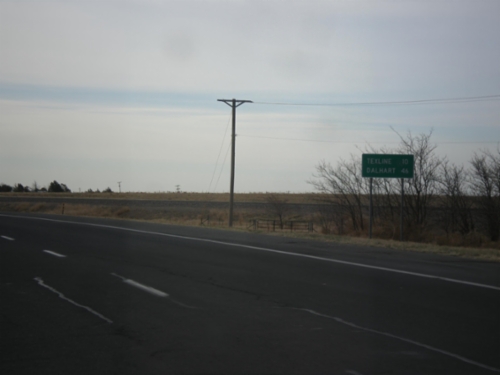
US-87 East - Distance Marker
Distance marker on US-87 east. Distance to Texline and Dalhart, both of which are in Texas. This is the last distance marker along US-87 east in New Mexico.
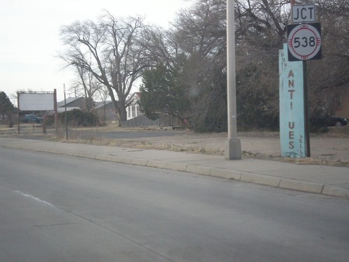
US-87 East Approaching NM-538
US-87 east approaching NM-538 (West Ave.) in Clayton.
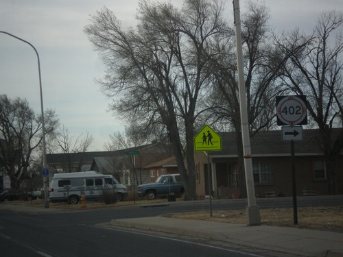
US-87 East at NM-402
US-87 east at NM-402 (Spruce St.) in Clayton.
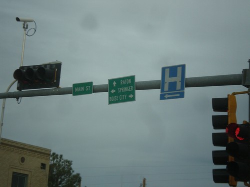
US-87 West at US-56/US-64/US-412
US-87 west at US-56/US-64/US-412. Turn right for US-56/US-64/US-412 east to Boise City (Oklahoma); left for US-56/US-412 west to Springer; straight for US-64/US-87 west to Raton.
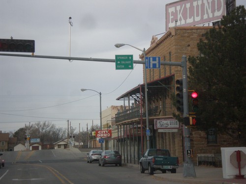
US-64/US-56/US-412 West at US-87
US-64/US-56/US-412 West at US-87. Turn right on US-64/US-87 East to Raton; straight for US-56/US-412 west to Springer; left for US-87 east to Dalhart (Texas).
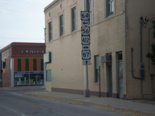
US-64/US-87 East at US-56/US-412
US-64/US-87 East at US-56/US-412 in Clayton. Turn left to continue east on US-64.
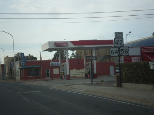
US-64/US-87 East at US-56/US-412
US-64/US-87 East at US-56/US-412. Turn left to continue east on US-64, which joins US-56/US-412. Continue straight to continue east on US-87.
Des Moines
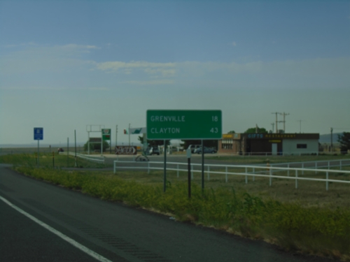
US-64 East/US-87 South - Distance Marker
Distance marker on US-64 East/US-87 South. Distance to Grenville and Clayton.
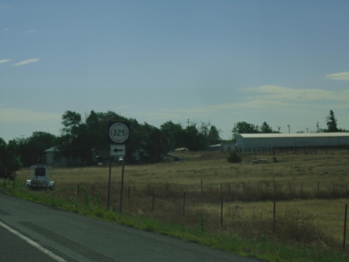
US-64 East/US-87 South at NM-325
US-64 East/US-87 South at NM-325 in Des Moines.
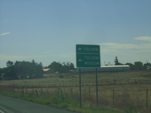
US-64 East/US-87 South at NM-325
US-64 East/US-87 South at NM-325 to Folsom and Folsom Museum.
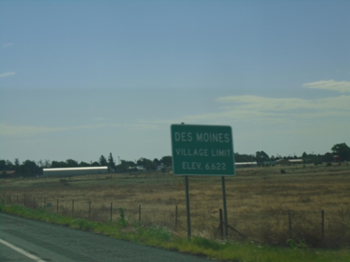
US-64 East/US-87 South - Des Moines
Des Moines Village Limit - Elevation 6622 on US-64 East/US-87 South.
US-64/US-87 East Approaching NM-325
US-64/US-87 East approaching NM-325 in Capulin.
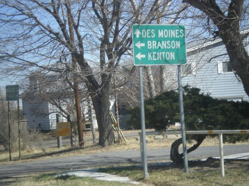
NM-325 North at NM-456
NM-325 north at NM-456 east to Branson (Colorado) and Kenton (Oklahoma). Continue north on NM-325 for Des Moines.
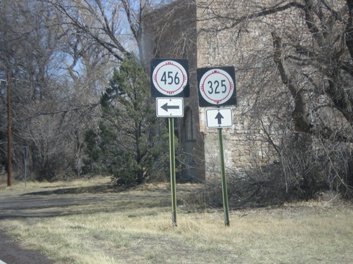
NM-325 North at NM-456
NM-325 north at NM-456 in Folsom.
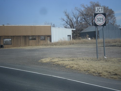
US-64/US-87 East Approaching NM-325
US-64/US-87 East approaching NM-325 in Capulin.
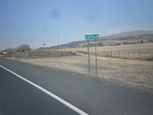
US-64/US-87 East - Entering Capulin
Entering Capulin on US-64/US-87 East.
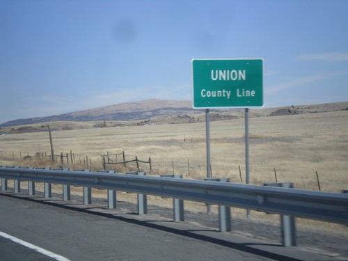
US-64/US-87 East - Union County Line
Union County Line on US-64/US-87 East.
Folsom
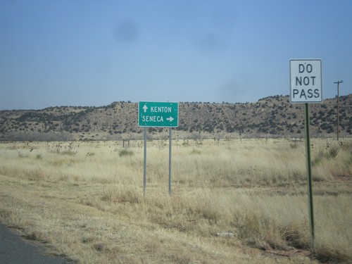
NM-456 East at NM-406
NM-456 east at NM-406 south to Seneca. Continue east on NM-456 for Kenton (Oklahoma).
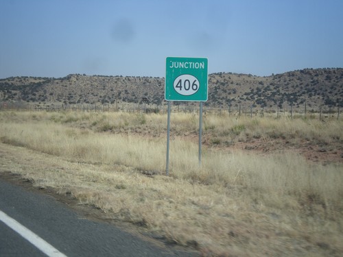
NM-456 East at NM-406
NM-456 east at NM-406 in Union County.
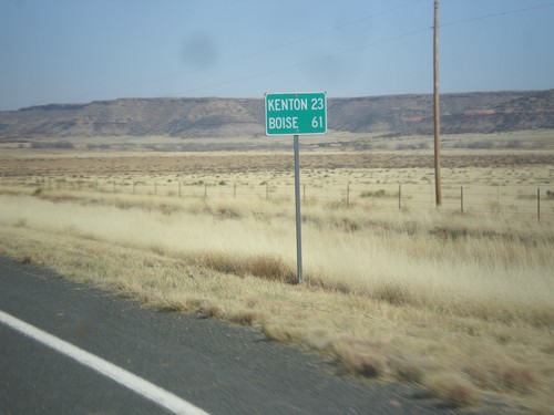
NM-456 East - Distance Marker
Distance marker on NM-456 east. Distance to Kenton, and Boise. Both destinations are in Oklahoma.
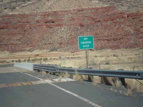
NM-456 - Dry Cimarron River
Crossing the Dry Cimarron River on NM-456 east. The Dry Cimarron River is known as the Cimarron River when it crosses into Oklahoma. When this photo was taken in the spring of 2014, there were puddles in the river.
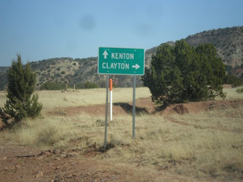
NM-456 East at NM-370
NM-456 east at NM-370 south to Clayton. Continue east on NM-456 for Kenton (Oklahoma).
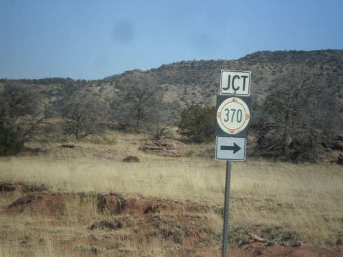
NM-456 East Approaching NM-370 South
NM-456 East approaching NM-370 South in Union County, New Mexico.
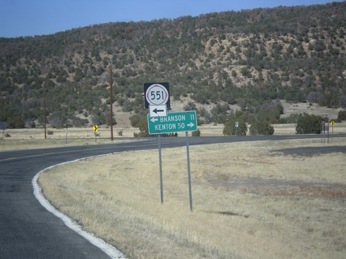
NM-456 East at NM-551 North
NM-456 east at NM-551 north to Branson (Colorado). Continue east on NM-456 for Kenton (Oklahoma).
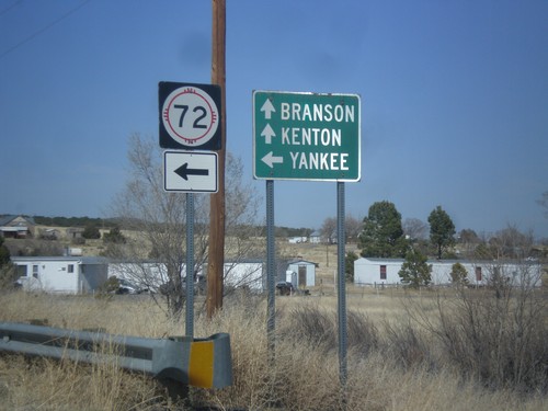
NM-456 East at NM-72
NM-456 east at NM-72 west to Yankee. Continue east on NM-456 for Branson (Colorado) and Kenton (Oklahoma).
Grenville
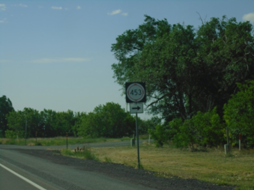
US-64 East/US-87 South at NM-453
US-64 East/US-87 South at NM-453 in Grenville.
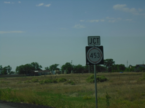
US-64 East/US-87 South Approaching NM-453
US-64 East/US-87 South approaching NM-453 in Grenville.
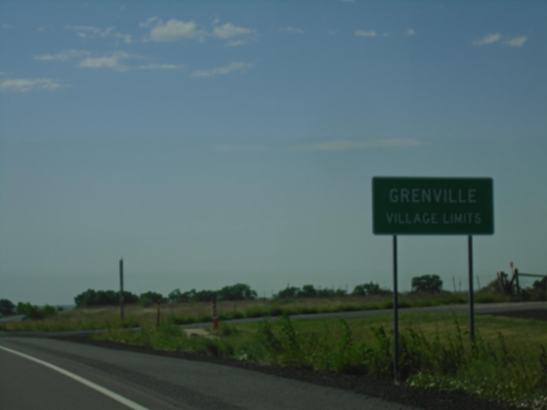
US-64 East/US-87 South - Grenville
Grenville Village Limit on US-64 East/US-87 South.
Royce
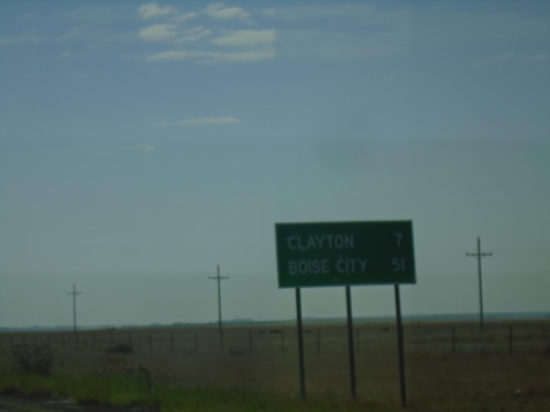
US-64 East/US-87 South - Distance Marker
Distance marker on US-64 East/US-87 South. Distance to Clayton and Boise City (Oklahoma).