Javascript Is Required To Use This Page

Baker County, Oregon

Localities: Baker City | Bridgeport | Durkee | Haines | Halfway | Hereford | Huntington | North Powder | Oxbow | Pine Creek | Richland | Unity | Weatherby

Baker City
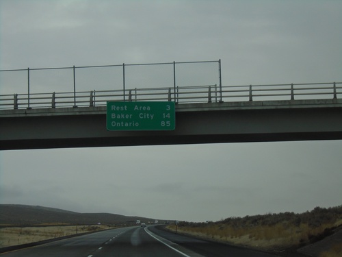
I-84 East - Distance Marker

I-84 East - Distance Marker

Distance marker on I-84 east. Distance to Rest Area, Baker City, and Ontario.
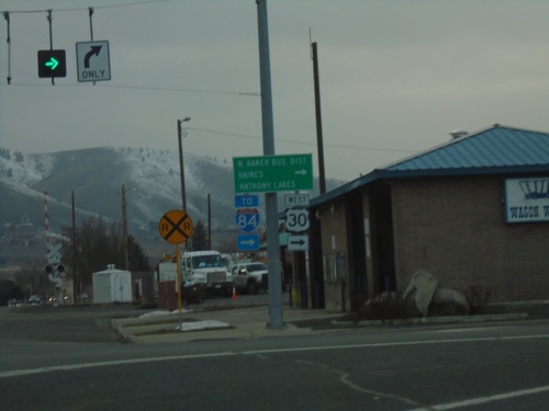
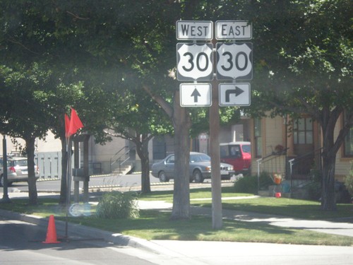
US-30 West - Baker City

US-30 West - Baker City

US-30 west in Baker City (Broadway St. at 10th St.). Turn right on 10th St. to continue west on US-30 and for I-84, North Baker Business District, Haines, and Anthony Lakes.
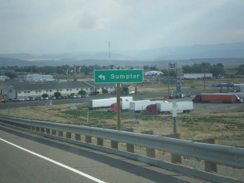
I-84 West - Exit 304 Offramp at OR-7

I-84 West - Exit 304 Offramp at OR-7

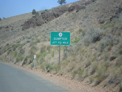
I-84 West - Exit 304 offramp at OR-7 in Baker City. Turn left on OR-7 west to Sumpter.
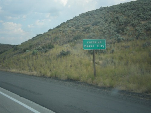
I-84 West - Entering Baker City

I-84 West - Entering Baker City

Entering Baker City on I-84 West. Baker City is the county seat of Baker County, Oregon.
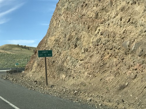
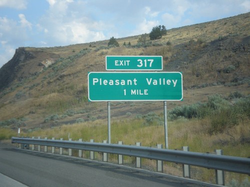
I-84 West - Exit 317

I-84 West - Exit 317

I-84 west at Exit 317 - Pleasant Valley.

OR-7 West Approaching OR-245

OR-7 West Approaching OR-245

OR-7 West approaching OR-245 in Baker County. Use OR-245 west for Unity.
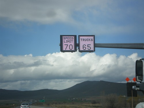
I-84 West - Variable Speed Limits

I-84 West - Variable Speed Limits

Variable Speed Limit sign on I-84 West, just outside of Baker City. The stretch of I-84 between Baker City and Ladd Canyon converted to variable speed limits in 2016.
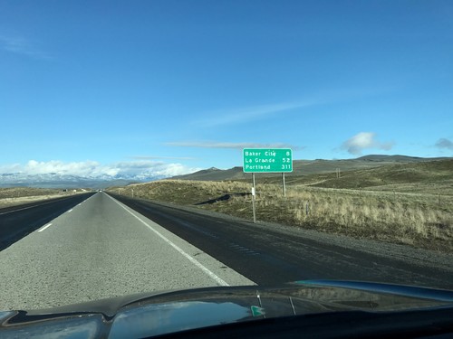
I-84 West - Distance Marker

I-84 West - Distance Marker

Distance marker on I-84 west. Distance to Baker City, La Grande, and Portland.
US-30 East - Distance Marker

US-30 East - Distance Marker

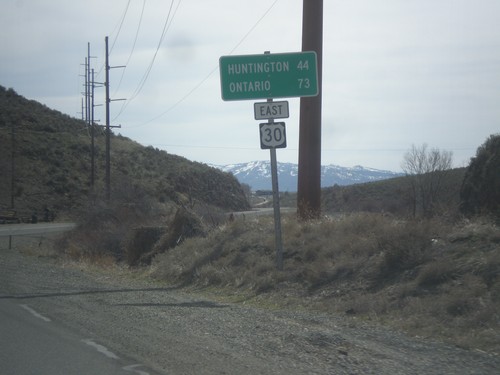
Distance marker on US-30 east. Distance to Huntington and Ontario.

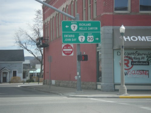
US-30 West at OR-7 - Baker City

US-30 West at OR-7 - Baker City

US-30 West/OR-7 east in Baker City. Turn right for US-30 East/OR-7 South to Ontario and John Day. Turn left for OR-7 west to Richland and Hells Canyon (via OR-86).
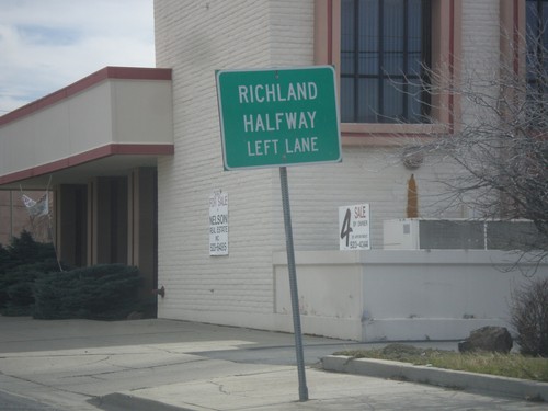
US-30 East Approaching OR-7

US-30 East Approaching OR-7

US-30 east approaching OR-7. Use left lane for Richland and Halfway. Both of these communities are along OR-86 between Baker City and Hells Canyon.
US-30 East - Baker City

US-30 East - Baker City

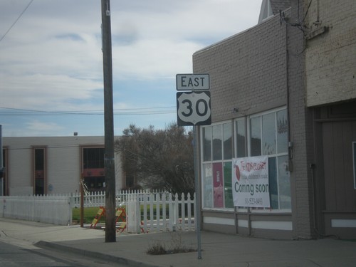
US-30 east along Broadway in Baker City.

OR-203 North - Keating Jct.

OR-203 North - Keating Jct.

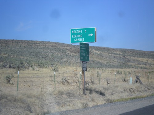
OR-203 north at Miles Bridge Road to Keating and Keating Grange.

Airport Road North - OR-203 Jct.

Airport Road North - OR-203 Jct.

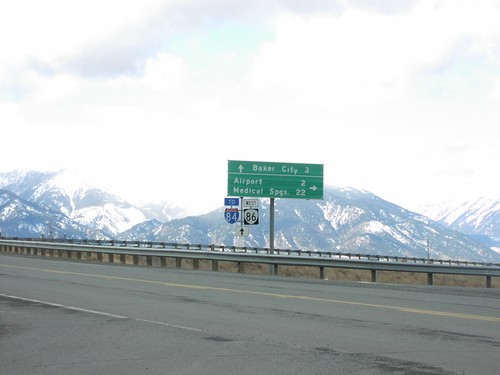
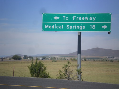
Airport Road north at OR-203. Turn right for Medical Springs; left for (I-84) Freeway.
OR-203 North - Airport Road

OR-203 North - Airport Road

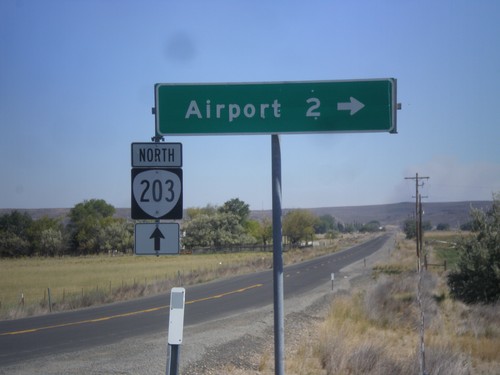
OR-203 north at Airport Road jct.

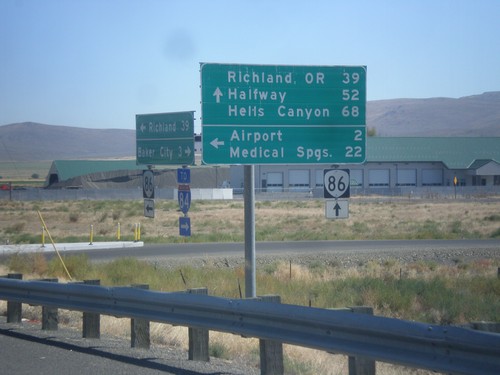
OR-86 East at West Airport Road (Medical Springs Highway)

OR-86 East at West Airport Road (Medical Springs Highway)

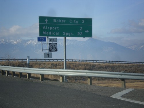
OR-86 east West Airport Road (Medical Springs Highway) to the (Baker City) Airport and Medical Springs (via OR-203). Continue east on OR-86 for Richland, OR, Halfway and Hells Canyon. West Airport Road is a Frontage Road that extends south from the junction of OR-203 to OR-86. It is part of the Oregon State Highway system as the Medical Springs Highway but is not signed with a number.
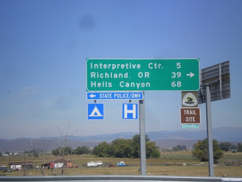
I-84 East (Exit 302) Off Ramp at OR-86

I-84 East (Exit 302) Off Ramp at OR-86

I-84 East (Exit 302) off ramp at OR-86. Turn right for OR-86 west to (Oregon Trail) Interpretive Center, Richland, OR, and Hells Canyon. Turn left for Baker City access.
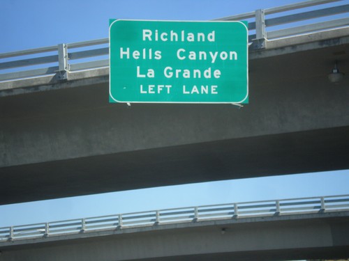
End OR-7 East Approaching I-84 West

End OR-7 East Approaching I-84 West

End OR-7 East approaching I-84 West to Richland (via OR-86), Hells Canyon (via OR-86) and La Grande.
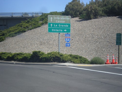
End OR-7 East at I-84 East

End OR-7 East at I-84 East

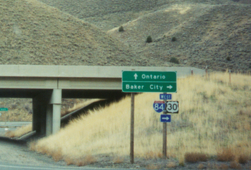
End OR-7 East at I-84 East. Turn right for I-84 east to Ontario; straight for I-84 west to La Grande and (Oregon Trail) Interpretive Center.
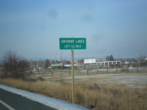
US-30 West - Anthony Lakes Jct.

US-30 West - Anthony Lakes Jct.

US-30 west approaching Anthony Lakes Junction in Haines. Anthony Lakes is a ski area.
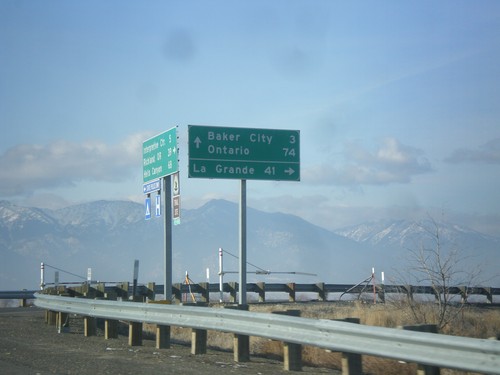
End OR-86 West at I-84

End OR-86 West at I-84

End OR-86 at I-84 (Exit 302). Use I-84 west for La Grande. Use I-84 east for Baker City and Ontario.
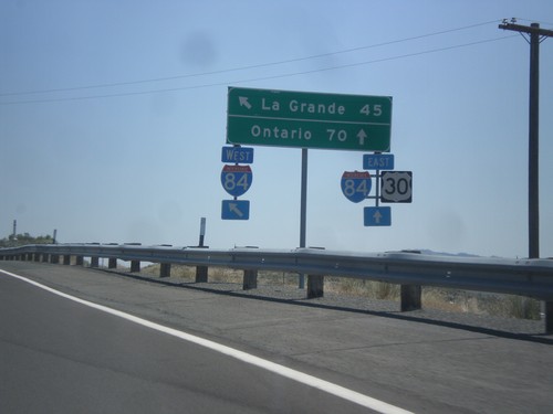
OR-86 West at I-84

OR-86 West at I-84

OR-86 west at OR-203 (not signed) to Medical Springs and Airport.

US-30 East at I-84 (Exit 306)

US-30 East at I-84 (Exit 306)

US-30 east at I-84 (Exit 306) onramp. US-30 joins I-84 east to Huntington. This is the eastern entrance to Baker City. Use I-84 East/US-30 East for Ontario. Use I-84 West for La Grande.
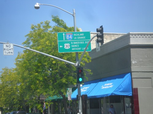
US-30 West/OR-7 East Split

US-30 West/OR-7 East Split

US-30 West/OR-7 east in Baker City. Turn left for US-30 west to North Baker Business District, Haines, and Anthony Lakes. Continue straight for OR-7 east, to I-84, Richland, and La Grande.
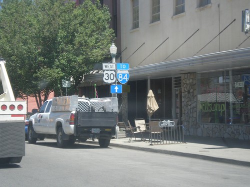
US-30 West to I-84 - Baker City

US-30 West to I-84 - Baker City

US-30 West/(OR-7 East) along Main St. in Baker City. Continue along Main St. for I-84 (via OR-7).
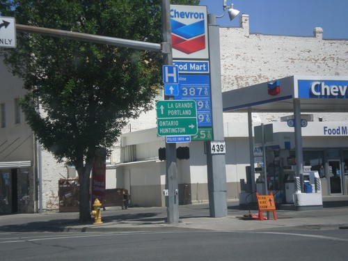
OR-7 East at US-30

OR-7 East at US-30

OR-7 east at US-30 in Baker City. Turn right on US-30 east for Ontario and Huntington. Continue straight on US-30 West/OR-7 East for La Grande and Portland.
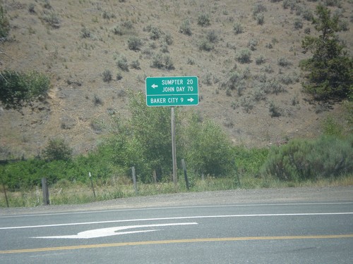
OR-7 East Approaching US-30

OR-7 East Approaching US-30

OR-7 east approaching US-30 in Baker City.

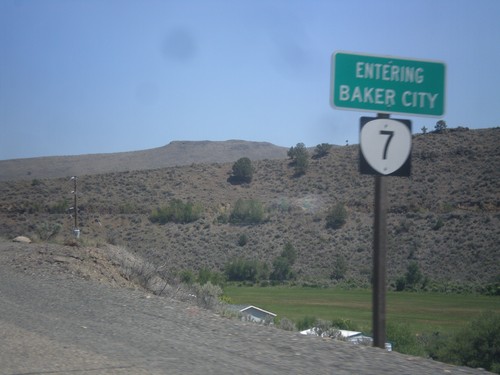
OR-7 East - Entering Baker City

OR-7 East - Entering Baker City

Entering Baker City on OR-7 East.

End OR-245 East at OR-7

End OR-245 East at OR-7

End OR-245 east at OR-7. Turn right on OR-7 east for Baker City; turn left on OR-7 west for Sumpter and John Day.
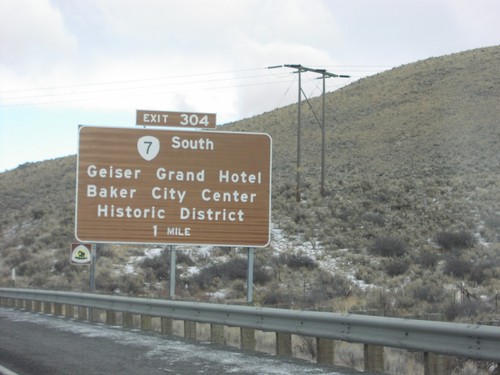
OR-245 East Approaching OR-7

OR-245 East Approaching OR-7

OR-245 east approaching OR-7. Use OR-7 west for Sumpter.

OR-86 West at I-84

OR-86 West at I-84

OR-86 west at OR-203 (not signed) to Medical Springs and Airport.

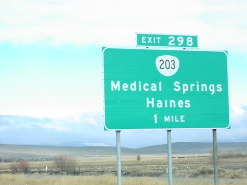
I-84 West Exit 298

I-84 West Exit 298

I-84 west approaching Exit 298, OR-203/Medical Springs/Haines, 1 mile.

I-84 West Exit 302

I-84 West Exit 302

I-84 west at Exit 302, OR-82 East/Richland/Hells Canyon.

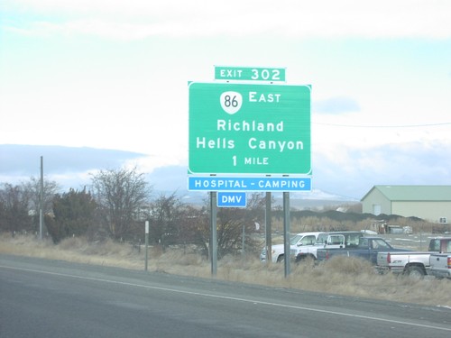
I-84 West Exit 302

I-84 West Exit 302

I-84 west approaching Exit 302, OR-86 East/Richland/Hells Canyon, 1 mile.

I-84 West Exit 304

I-84 West Exit 304

I-84 west approaching Exit 304, OR-7 South/Geiser Grand Hotel/Baker City Center Historic District.

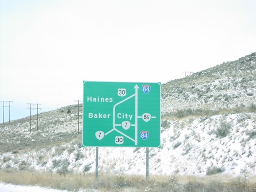
I-84 West - Baker City Route Map

I-84 West - Baker City Route Map

Diagram of Baker City area routes on I-84 west, approaching eastern Baker City exit, #306.

I-84 West Exit 306

I-84 West Exit 306

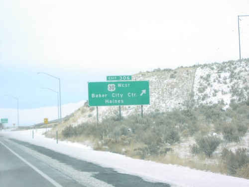
I-84 west at Exit 306, US-30 West/Baker City/Haines.

Bridgeport

OR-245 East at Bridgeport/Durkee Jct.

OR-245 East at Bridgeport/Durkee Jct.

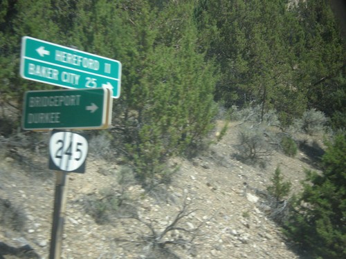
OR-245 east at Bridgeport/Durkee Junction.

Durkee

I-84 East Exit 327

I-84 East Exit 327

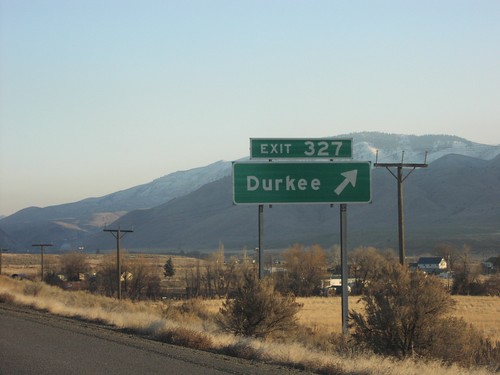
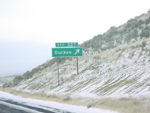
I-84 east at Exit 327, Durkee.

I-84 East Exit 330

I-84 East Exit 330

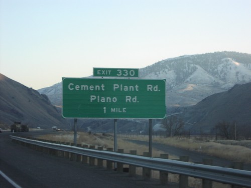
I-84 east approaching Exit 330, Cement Plant Road/Plano Road, 1 mile.

I-84 West Exit 327

I-84 West Exit 327

I-84 west at Exit 327, Durkee.

Haines

US-30 West - Entering Haines

US-30 West - Entering Haines

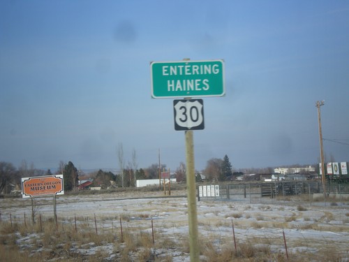
Entering Haines on US-30 west.

Halfway

OR-86 East at Brownlee-Oxbow Highway

OR-86 East at Brownlee-Oxbow Highway

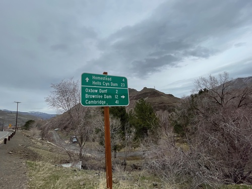
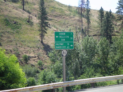
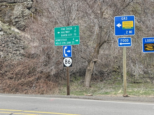
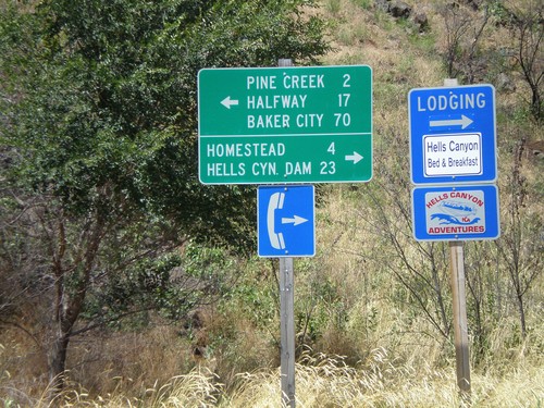
OR-86 East at Brownlee-Oxbow Highway. Turn right on Brownlee-Oxbow Highway to Oxbow Dam, Brownlee Dam, and Cambridge (Idaho). Continue east on OR-86 for Homestead and Hells Canyon Dam.
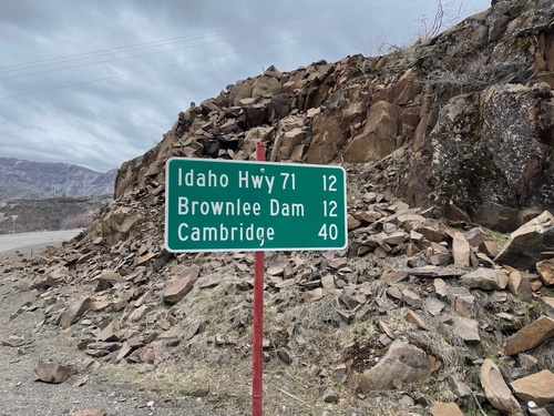
Oxbow-Brownlee Highway South - Distance Marker

Oxbow-Brownlee Highway South - Distance Marker

Distance Marker on Oxbow-Brownlee Highway south. Distance to Idaho Highway 71, Brownlee Dam, and Cambridge (Idaho). The Oxbow-Brownlee Highway is managed by Idaho Power and connects OR-86 and ID-71, and is part of a network of roads connecting the three Hells Canyon dams.
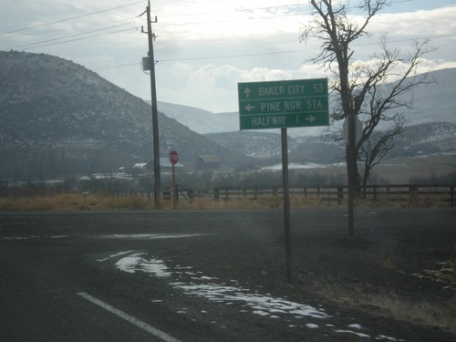
OR-86 West at OR-86 Spur (Unsigned)

OR-86 West at OR-86 Spur (Unsigned)

OR-86 West at OR-86 Spur (Unsigned) into Halfway, Oregon. Continue west on OR-86 for Baker City.
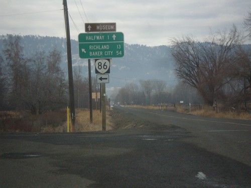
OR-86 West at OR-414

OR-86 West at OR-414

OR-86 west at OR-414 (unsigned). Use OR-414 west for Halfway; continue west on OR-86 for Baker City and Richland.

OR-86 West Approaching Halfway Jct.

OR-86 West Approaching Halfway Jct.

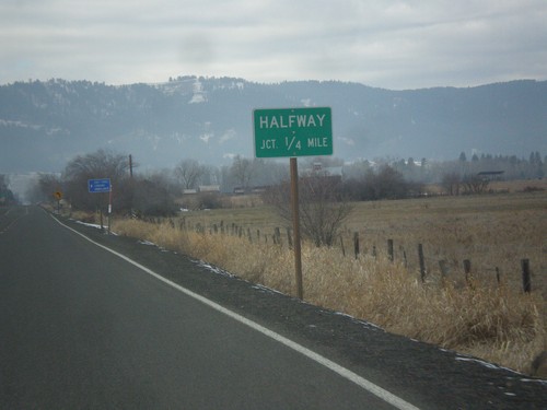
OR-86 West approaching Halfway Jct (OR-414). OR-414 is unsigned.

OR-86 West NFH-39 Jct.

OR-86 West NFH-39 Jct.

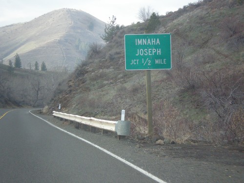
OR-86 west approaching NFH-39 north to Imnaha and Joseph.

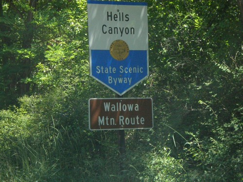
Hells Canyon Scenic Byway NFH-39 North

Hells Canyon Scenic Byway NFH-39 North

Hells Canyon Scenic Byway-Wallowa Mountain Loop on NFH-39 north.

End NFH-39 OR-86 Jct.

End NFH-39 OR-86 Jct.

End NFH-39 south at OR-86 to Oxbow and Halfway.

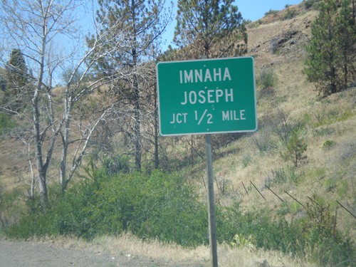
OR-86 West NFH-39 Jct.

OR-86 West NFH-39 Jct.

OR-86 west approaching NFH-39, Imnaha/Joseph.

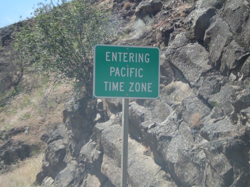
Pacific Time Zone OR-86

Pacific Time Zone OR-86

Entering Pacific Time Zone on OR-86 west.

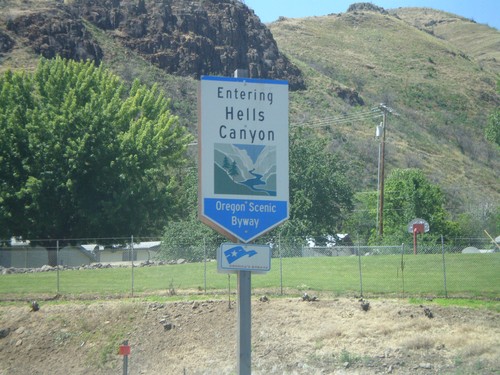
Hells Canyon Scenic Byway OR-86

Hells Canyon Scenic Byway OR-86

Hells Canyon Scenic Byway on OR-86 west.

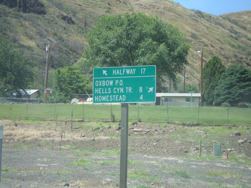
OR-86 at Idaho Power Road

OR-86 at Idaho Power Road

OR-86 west at Idaho Power Road north to Homestead, Hells Canyon Trail, and Oxbow P.O.

Hereford

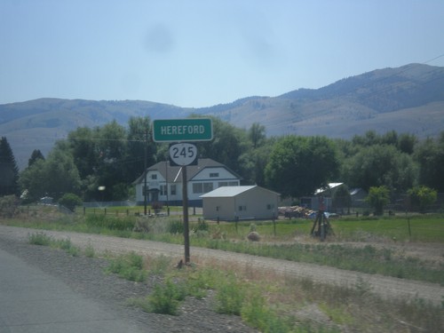
OR-245 East - Hereford

OR-245 East - Hereford

Entering Hereford on OR-245 east.

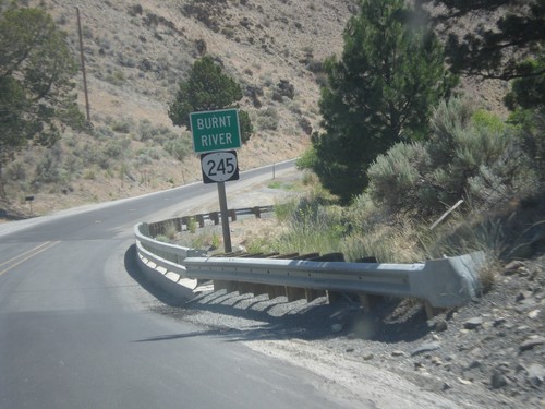
OR-245 East - Burnt River

OR-245 East - Burnt River

Burnt River on OR-245 East.

Huntington

US-30 East at I-84 Exit 352

US-30 East at I-84 Exit 352

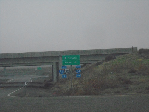
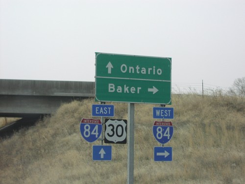
US-30 East at I-84. Use I-84 west to Baker; I-84/US-30 East to Ontario.

I-84 West - Distance Marker

I-84 West - Distance Marker

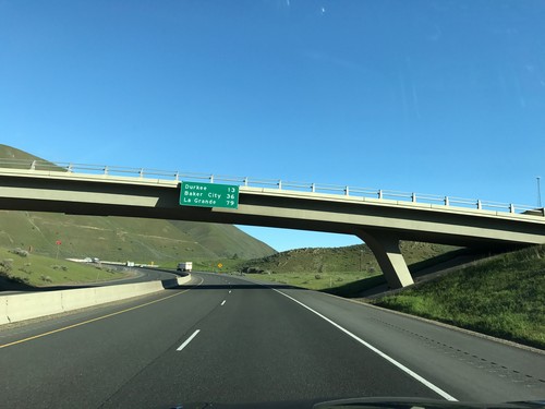
Distance marker on I-84 west. Distance to Durkee, Baker City, and La Grande.
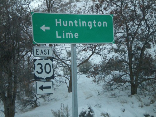
I-84 East - Entering Mountain Time Zone

I-84 East - Entering Mountain Time Zone

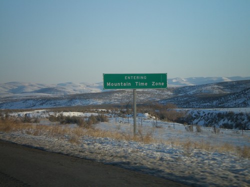
I-84 East - Entering Mountain Time.

I-84 East at Exit 345 Offramp - US-30 Jct.

I-84 East at Exit 345 Offramp - US-30 Jct.

I-84 East at Exit 345 Offramp at US-30 Jct. Turn left for US-30 east to Huntington and Lime.

I-84 West Exit 335

I-84 West Exit 335

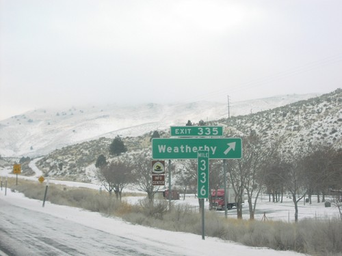
I-84 west at Exit 335, Weatherby

I-84 West Exit 338

I-84 West Exit 338

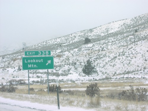
I-84 west at Exit 338, Lookout Mountain.

I-84 West Exit 340

I-84 West Exit 340

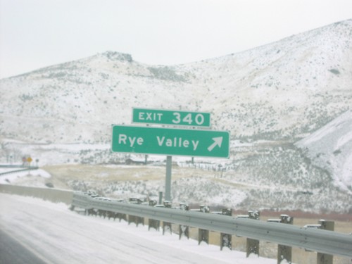
I-84 west at Exit 340, Rye Valley.

I-84 West Exit 345

I-84 West Exit 345

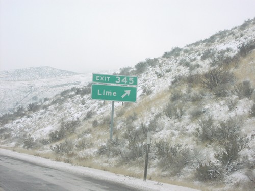
I-84 west at Exit 345, Lime.

I-84 West Exit 353

I-84 West Exit 353

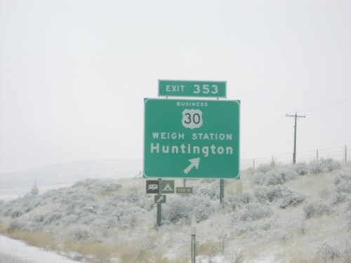
I-84 west at Exit 353, Bus. US-30/Weigh Station/Huntington.

US-30 at I-84 Exit 352 Onramp

US-30 at I-84 Exit 352 Onramp

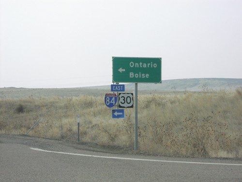
US-30 east at I-84/US-30 east to Ontario and Boise.

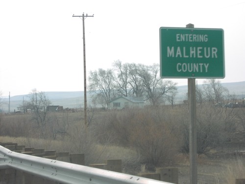
US-30 East - Entering Malheur County

US-30 East - Entering Malheur County

US-30 east at Malheur/Baker County line, near Farewell Bend State Park. Farewell Bend is where the Oregon Trail left the Snake River, for interior Oregon.

US-30 East - Mountain Time Zone

US-30 East - Mountain Time Zone

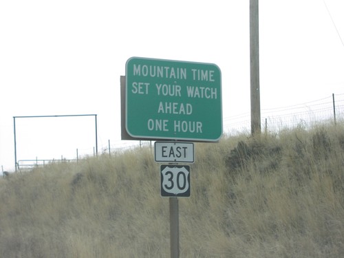
Mountain Time - Set Your Watch Ahead One Hour, on US-30 east.

US-30 East at I-84 Exit 352 Onramp

US-30 East at I-84 Exit 352 Onramp

US-30 east at I-84 west freeway entrance to Baker City.

US-30 West at I-84 in Lime

US-30 West at I-84 in Lime

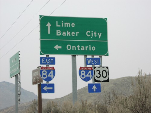
US-30 west at I-84 to Baker City and Ontario.

To I-84 Freeway - Weatherby Rest Area

To I-84 Freeway - Weatherby Rest Area

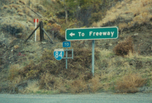
To I-84 Freeway leaving the Weatherby Rest Area.

North Powder

US-30 West - 45th Parallel

US-30 West - 45th Parallel

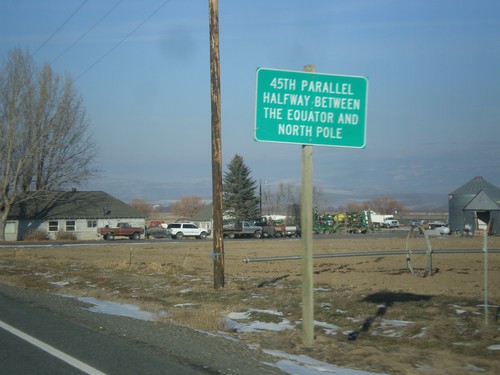
45th Parallel - Halfway Between Equator and North Pole. Taken on US-30 west between Haines and North Powder.

I-84 West Exit 285

I-84 West Exit 285

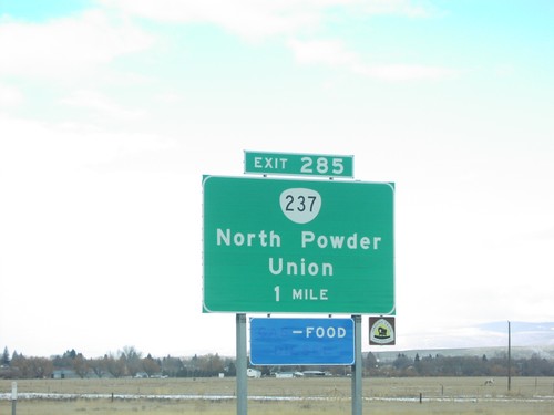
I-84 west approaching Exit 285, OR-237/North Powder/Union, 1 mile.

Oxbow

End Brownlee-Oxbow Highway at OR-86

End Brownlee-Oxbow Highway at OR-86

End Brownlee-Oxbow Highway at OR-86. Use OR-86 west to Baker City, Halfway, and Pine Creek. Use OR-86 east to Homestead and Hells Canyon Dam. OR-86 ends a short distance to the east at the Snake River.

End Brownlee-Oxbow Hwy. at OR-86

End Brownlee-Oxbow Hwy. at OR-86

End Brownlee-Oxbow Highway at OR-86 to Homestead and Baker City.

Pine Creek

NFH-39 North Hells Canyon NRA

NFH-39 North Hells Canyon NRA

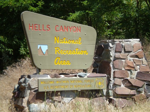
Entering Hells Canyon National Recreation Area on NFH-39 north.

Richland

OR-86 West - New Bridge Jct.

OR-86 West - New Bridge Jct.

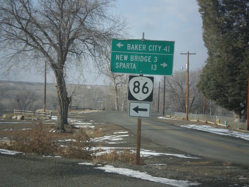
OR-86 west at New Bridge Road to New Bridge and Sparta. Continue west on OR-86 for Baker City.

Unity

US-26 West - Burnt River Lane

US-26 West - Burnt River Lane

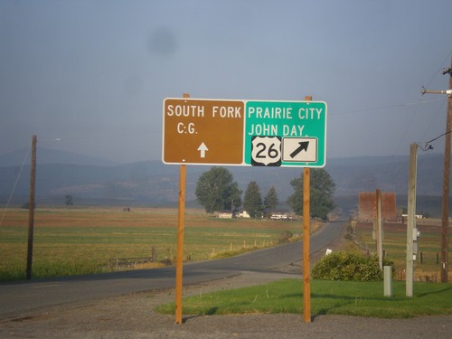
US-26 West at Burnt River Lane in Unity. Merge left for South Fork (Burnt River) Campground. Merge right for US-26 west to Prairie City and John Day.
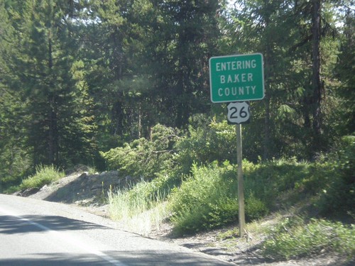
US-26 East - Camp Creek Road

US-26 East - Camp Creek Road

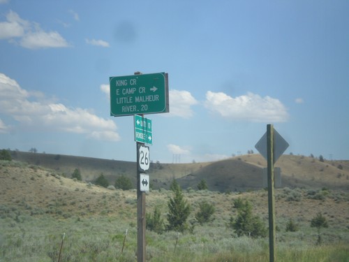
US-26 East at King Creek/East Camp Creek/Little Malheur River junction.

US-26 East - Entering Baker County

US-26 East - Entering Baker County

Entering Baker County on US-26 East at the summit of the Blue Mountains.
US-26 East - Entering Unity

US-26 East - Entering Unity

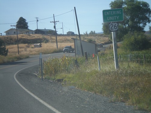
Entering Unity Oregon on US-26 east.
US-26 East - Distance Marker

US-26 East - Distance Marker

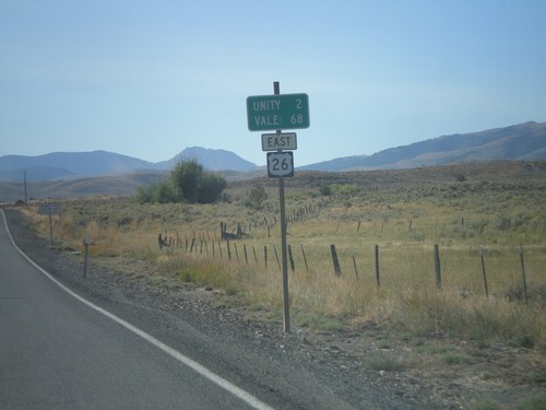
Distance marker on US-26 east to Unity and Vale.

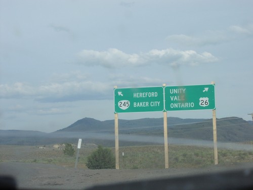
End OR-245 West at US-26

End OR-245 West at US-26

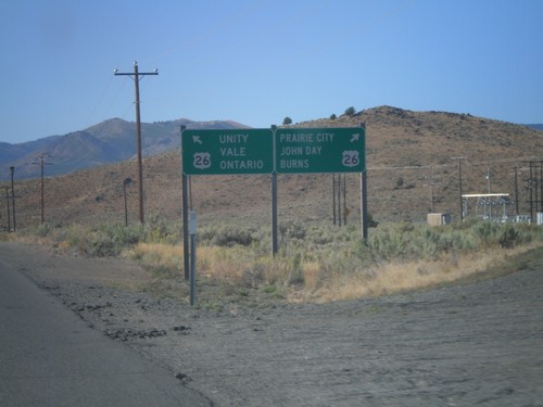
End OR-245 West at US-26. Use US-26 west for Burns, John Day, and Prairie City. Use US-26 east for Unity, Vale and Ontario.

US-26 East - Distance Marker

US-26 East - Distance Marker

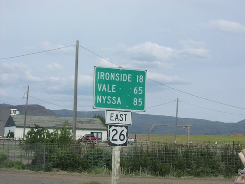
Distance marker on US-26 east. Distance to Ironside, Vale, and Nyssa.

US-26 East Approaching OR-245

US-26 East Approaching OR-245

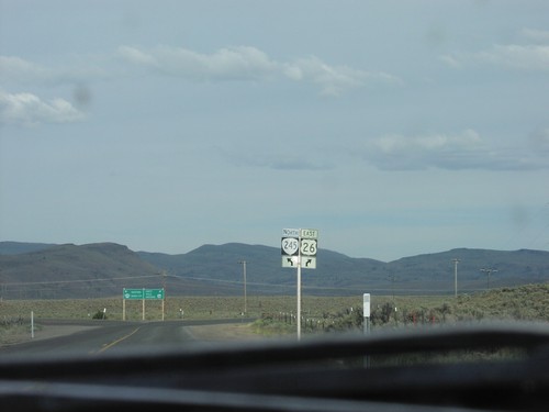
US-26 east approaching OR-245 north in Baker County.

US-26 East at OR-245

US-26 East at OR-245

US-26 East at OR-245 east to Hereford and Baker City. Continue east on US-26 for Unity, Vale, and Ontario.

Weatherby

I-84/US-30 Exit 335 Onramp

I-84/US-30 Exit 335 Onramp

I-84/US-30 freeway entrance to Ontario/Baker City. Taken at Exit 335 - Weatherby.