Malheur County, Oregon
Localities: Adrian | Basque | Drewsey | Harper | Huntington | Ironside | Jordan Valley | McDermitt | Nyssa | Ontario | Sheaville | Vale | Weiser
Adrian
OR-452 East at OR-454
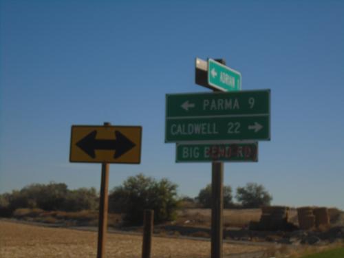
OR-452 East at OR-454 (Big Bend Road) in Malheur County. Turn right for OR-454 East to Caldwell (Idaho); turn left for OR-452 East to Parma (Idaho). OR-452 and OR-454 are both unsigned for their entire length.
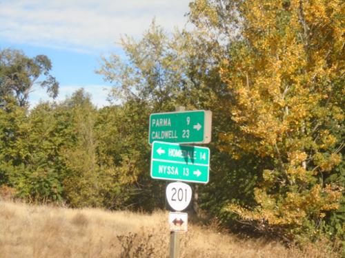
OR-201 North at OR-452
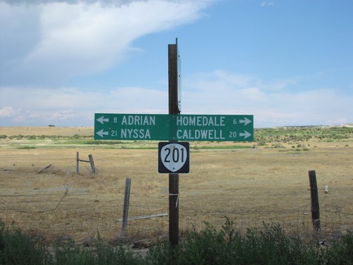
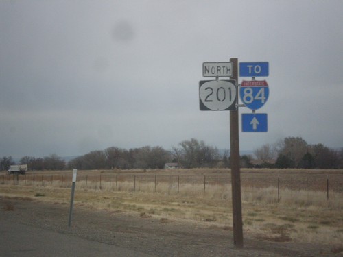
OR-201 North at OR-452 (unsigned) in Adrian. Turn right for OR-452 east to Parma (Idaho) and Caldwell (Idaho). Use OR-201 North to Nyssa; OR-201 South to Homedale (Idaho).
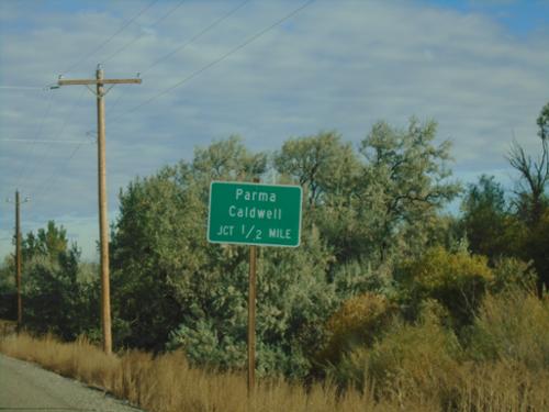
OR-201 North Approaching OR-452
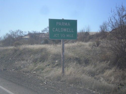
OR-201 North approaching OR-452 (unsigned) to Parma (Idaho) and Caldwell (Idaho).
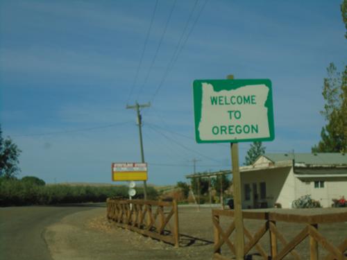
OR-201 North - Welcome To Oregon
Welcome to Oregon on OR-201 North. Taken at the Idaho/Oregon state line.
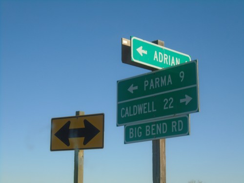
OR-452 East at OR-454
OR-452 East at OR-454 (Big Bend Road) in Malheur County. Turn right for OR-454 East to Caldwell (Idaho); turn left for OR-452 East to Parma (Idaho). OR-452 and OR-454 are both unsigned for their entire length.
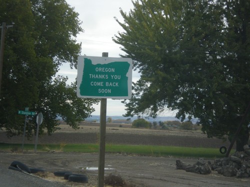
Oregon Thanks You - Come Back Soon on OR-201 South
Oregon Thanks You - Come Back Soon on OR-201 South approaching the Idaho border.
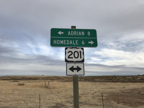
End Succor Creek Road at OR-201
End Succor Creek Road at OR-201. Use OR-201 south to Homedale (Idaho); use OR-201 north to Adrian. The OR-201 shield is incorrectly marked with a US shield.
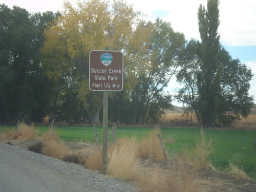
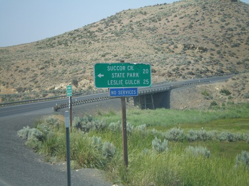
OR-201 South Approaching Succor Creek Road
OR-201 South approaching Succor Creek Road to Succor Creek State Park.
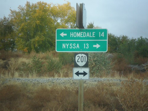
End OR-452 at OR-201
End OR-452 at OR-201 in Adrian. Turn left for OR-201 south to Homedale (Idaho); right for OR-201 north to Nyssa.
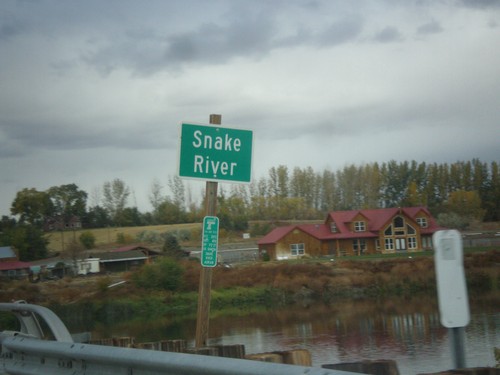
OR-452 West at the Snake River
OR-452 west at the Snake River. This small stretch of the Snake River near Adrian is the only part of the Snake River wholly within Oregon.
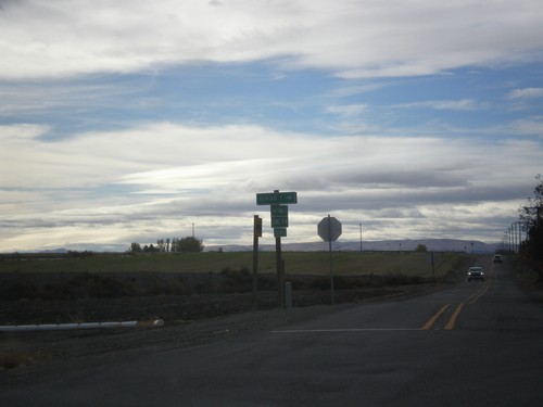
End OR-452 West at OR-454
End OR-452 West (unsigned) at OR-454 (unsigned). Turn right to continue west on OR-452 to Adrian. Continue straight for OR-454 West to (Big Bend Road) Caldwell (Idaho).
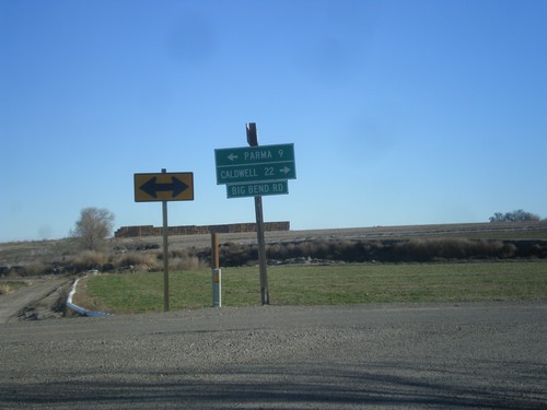
End OR-452 East at OR-454
End OR-452 East (unsigned) at OR-454 (unsigned). Turn right for OR-454 (Big Bend Road) and Caldwell (Idaho). Turn left on Big Bend Road for Parma (Idaho).
Basque
Drewsey
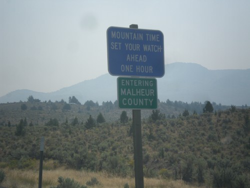
US-20 East - Malheur County/Mountain Time Zone
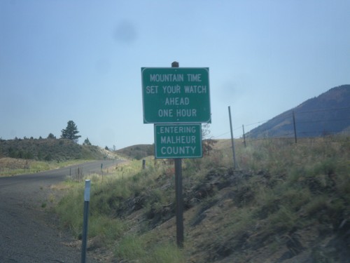
Entering Malheur County and Mountain Time Zone on US-20 East. The northern portion of Malheur County is the only area in Oregon that follows Mountain Time. From my travels in Oregon, this is the only blue time zone sign in the state. The rest are the standard green color.
Harper
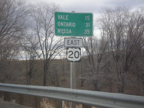
US-20 East - Distance Marker
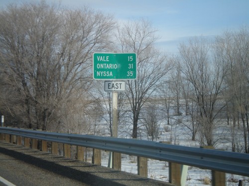
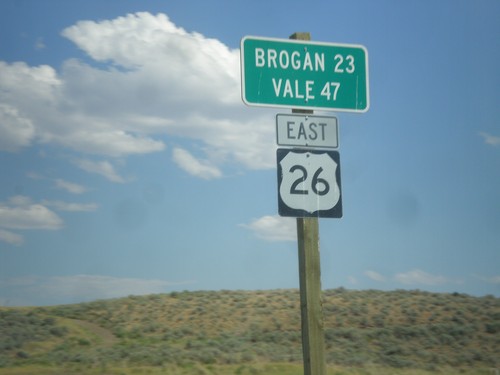
Distance marker on US-20 east to Vale, Ontario, and Nyssa. Missing US-20 shield on sign.
Huntington
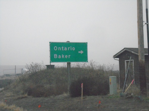
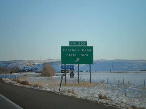
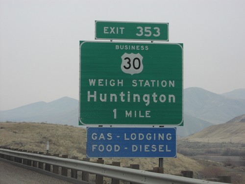
US-30 East Approaching I-84 (Exit 353)
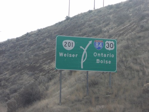
US-30 East approaching I-84 (Exit 353) in Malheur County. Turn right for I-84 access to Ontario and Baker.
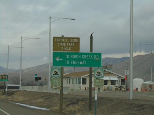
I-84 West - Exit 353 Offramp
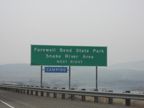
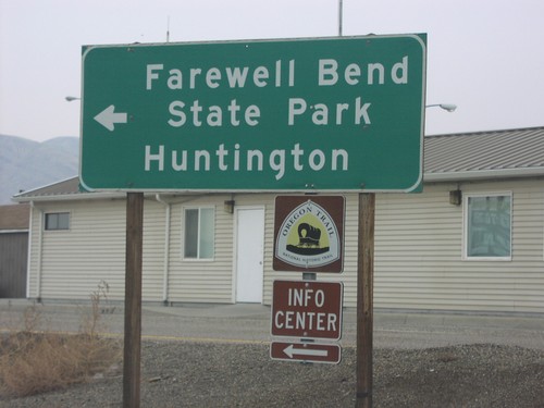
I-84 West - Exit 353 offramp at US-30. Use US-30 west for Farewell Bend State Park. Turn left for Birch Creek Road and (I-84) Freeway.
Ironside
Jordan Valley
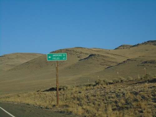
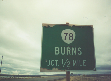
OR-78 West - Fields and Andrews Jct.
OR-78 West at Fields and Andrews Jct. This road travels south to the Nevada border reaching NV-140 at Denio. The road parallels the east side of Steens Mountain and the Alvord Desert.
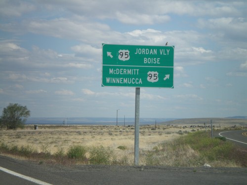
End OR-78 East at US-95
End OR-78 east at US-95. Turn right for US-95 south to McDermitt and Winnemucca (Nevada). Merge left for US-95 north to Jordan Valley and Boise (Idaho).
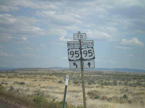
End OR-78 East at US-95
End OR-78 east at US-95. Continue straight for US-95 south; merge left for US-95 north.
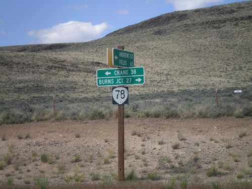
End Eastside Steens Mountain Road at OR-78
End Eastside Steens Mountain Road at OR-78. Turn right on OR-78 for Burns Junction; turn left on OR-78 for Crane. The eastside Steens Mountain road follows the east side of Steens Mountain south to Andrews, Fields, and eventually into Denio, Nevada.
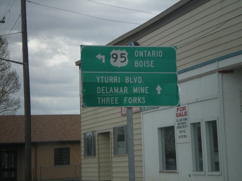
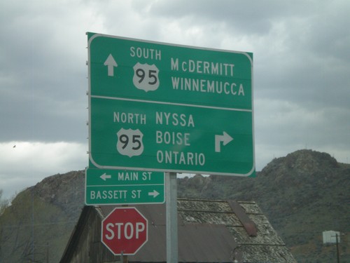
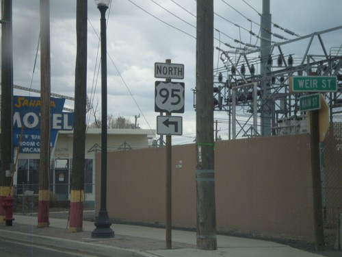
US-95 North - Jordan Valley
US-95 north (Main St.) at Bassett St. Turn north to continue on US-95 north to Ontario and Boise.
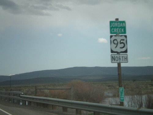
US-95 North - Jordan Creek
US-95 north crossing Jordan Creek. Jordan Creek is overflowing in this picture from spring runoff.
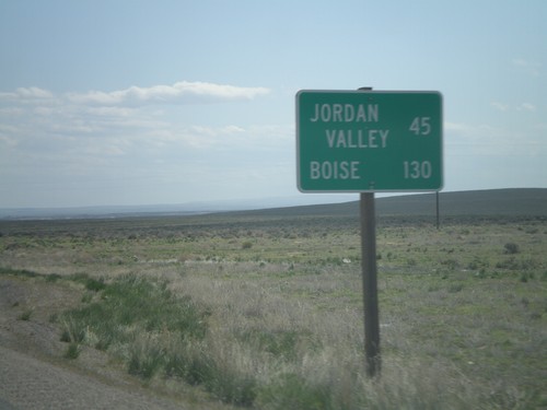
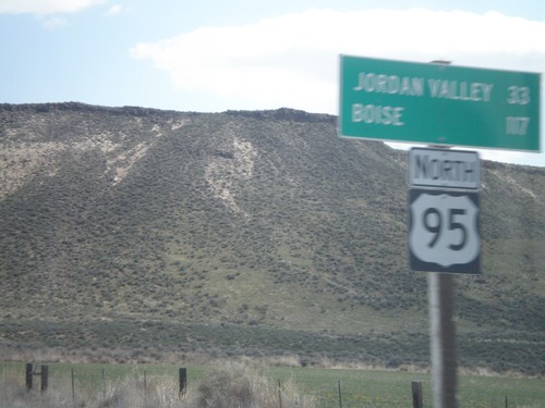
US-95 North - Distance Marker
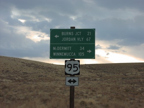
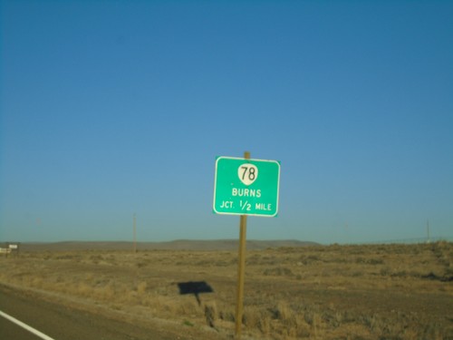
Distance marker on US-95 north, north of Burns Jct. Distance to Jordan Valley and Boise.
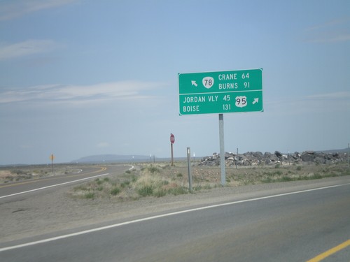
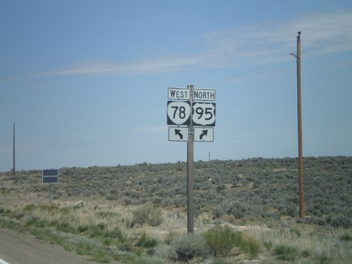
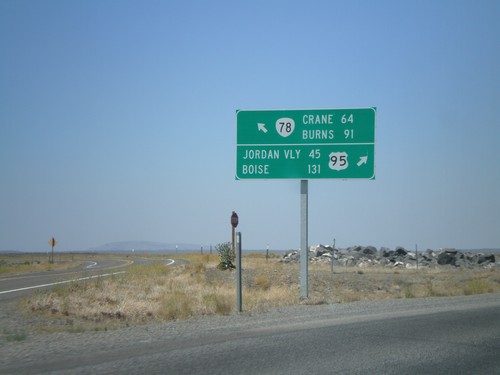
US-95 North at OR-78
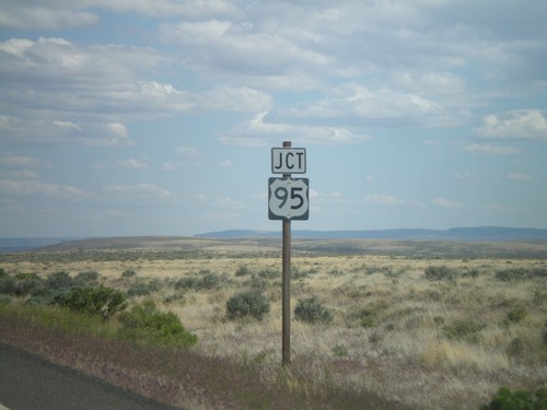
US-95 north at OR-78 west. Merge left for OR-78 to Burns and Crane. Merge right for US-95 to Jordan Valley and Boise.
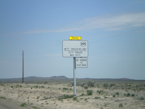
US-95 North Approaching OR-78
US-95 north approaching OR-78. Weight restrictions on US-395 northbound traffic between Mt Vernon and Pilot Rock. OR-78 is the only connecting highway into central Oregon from US-95, and connects to US-20 and US-395 in Burns.
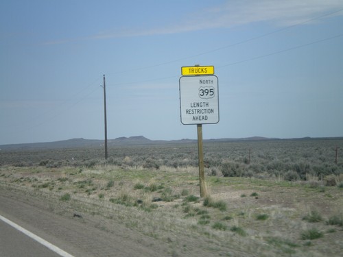
US-95 North Approaching OR-78 - Length Restrictions
US-95 north approaching OR-78. Length restrictions on US-395 north traffic ahead. OR-78 is the only road that connects US-95 with the rest of Oregon. OR-78 connects US-95 with US-20/US-395 in Burns.
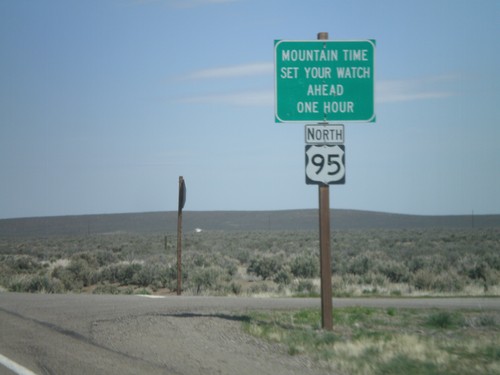
US-95 North - Mountain Time Zone
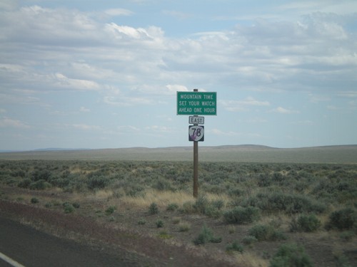
Entering Mountain Time Zone on US-95 north. US-95 passes in and out of Mountain Time for its duration. The highway enters Pacific Time again just north of Riggins, Idaho.
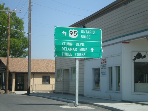
US-95 North in Jordan Valley
US-95 north (Main St.) at Bassett St. Turn north to continue on US-95 north to Ontario and Boise.
McDermitt
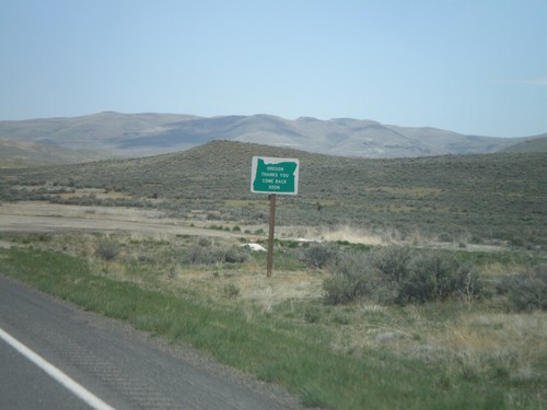
US-95 South - Oregon Thanks You
US-95 South - Oregon Thanks You - Come Back Soon. Speed 25 MPH, approaching the Oregon-Nevada state line.
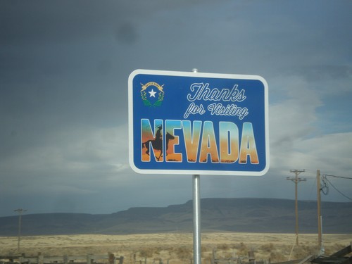
US-95 North - Leaving Nevada
Thanks for Visiting Nevada on US-95 north. This sign is posted after the Welcome to Oregon sign, inside the state of Oregon.
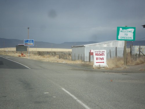
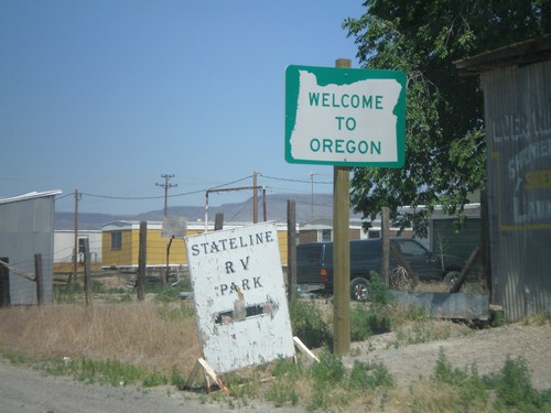
US-95 North - Welcome To Oregon
Welcome to Oregon on US-95 north. Behind the Oregon welcome sign is the leaving Nevada sign, which is inside of Oregon.
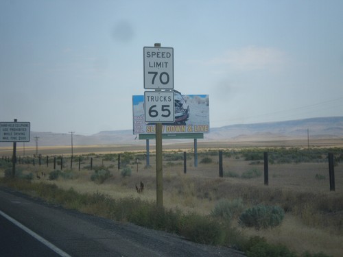
US-95 North - Speed Limit
Speed Limit 70 MPH/Truck Speed 65 MPH on US-95 north - just north of the Nevada line. The state of Oregon recently raised the speed limit on the stretch of highway from 55 MPH to 70 MPH in the spring of 2016. Until then all non rural interstate highways in Oregon were limited at 55 MPH.
Nyssa
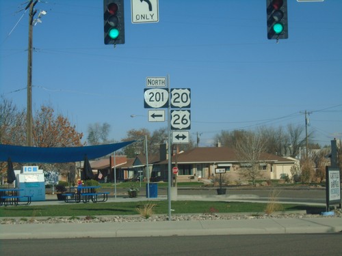
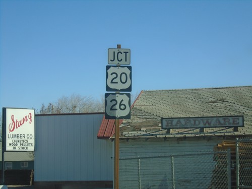
OR-201 North at US-20/US-26
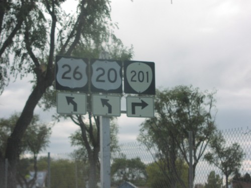
OR-201 North at US-20/US-26 in Nyssa. Turn left to continue north on OR-201. OR-201 North joins US-20/US-26 West to Cairo Jct.
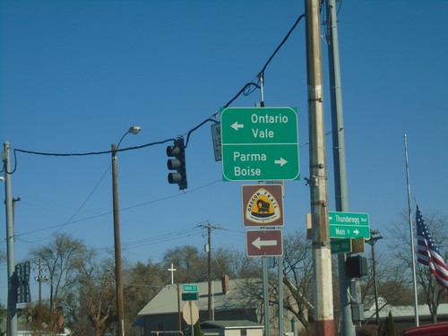
OR-201 North at US-20/US-26 - Nyssa.
OR-201 North at US-20/US-26 in Nyssa. Turn left for US-20/US-26 West/OR-201 north to Ontario and Vale; turn right for US-20/US-26 East to Parma (Idaho) and Boise (Idaho).
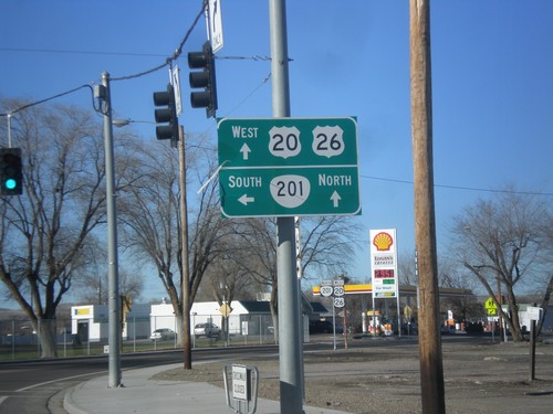
US-20/US-26 West at OR-201
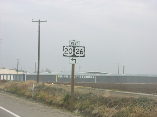
US-20/US-26 west at OR-201 in Nyssa. Turn left for OR-201 south; OR-201 north US-20/US-26 west to Cairo Jct. outside of Ontario.
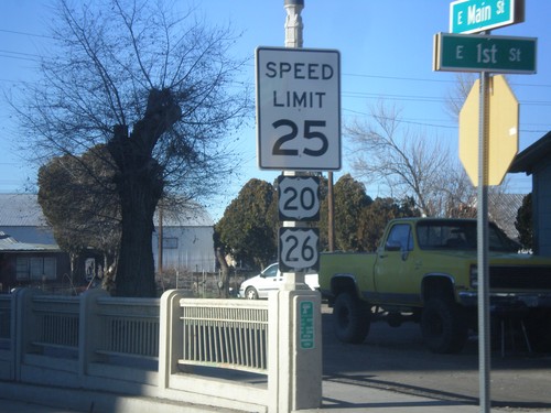
US-20/US-26 West - Nyssa
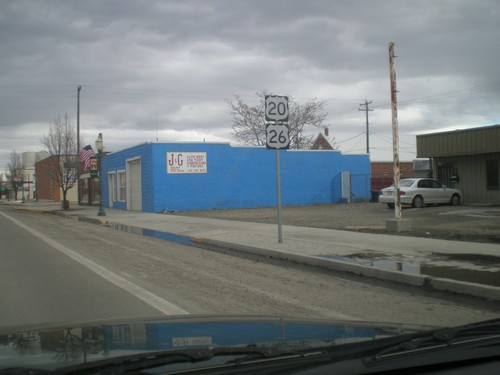
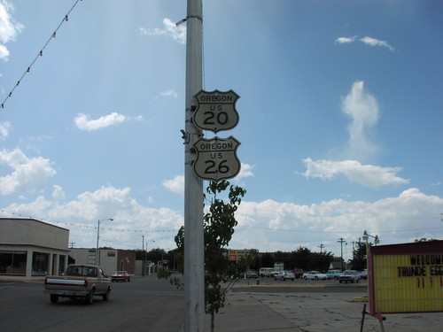
US-20/US-26 West in Nyssa. This is the first US-20/US-26 shields westbound in Oregon. In the last few years, standard Speed Limit signs have been appearing in Oregon. Normally, Oregon Speed Limit signs omit the word limit, and have larger numbers.
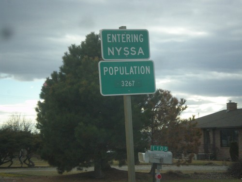
US-20/US-26 East/OR-201 South - Entering Nyssa
Entering Nyssa on US-20/US-26 East/OR-201 South. Nyssa is located on the Oregon-Idaho border along the Snake River.
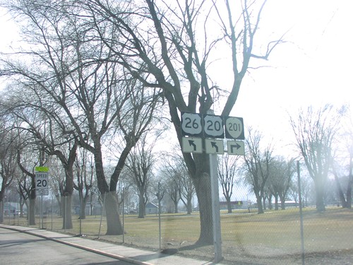
OR-201 South/US-20/US-26 East At OR-201 Jct.
OR-201 South/US-20/US-26 East approaching US-20/US-26/OR-201 split in Nyssa.
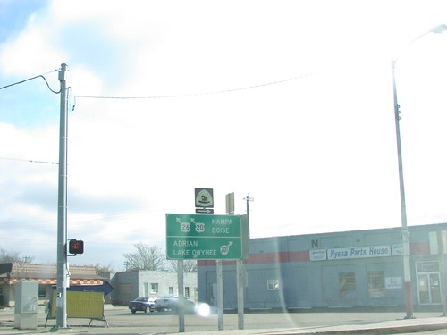
US-20/US-26 East at OR-201 South
US-20/US-26 East/OR-201 South at US-20/US-26/OR-201 split. Merge right for OR-201 south to Adrian and Lake Owyhee. Merge left for US-20/US-26 East to Nampa (ID) and Boise (ID).
Ontario
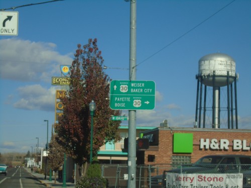
Oregon St. North at Idaho Ave. - Bus. US-30 Jct.
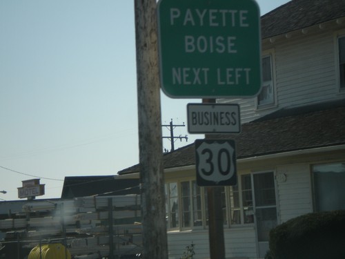
Oregon St. North at Idaho Ave. - Bus. US-30 Jct. in Ontario. Turn right on Bus. US-30 East for Payette (Idaho) and Boise (Idaho). Continue north on Oregon St. for Bus. US-30 West to Baker City and Weiser (Idaho).
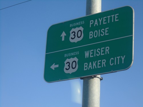
East Idaho Ave. at Oregon St. North - Bus. US-30 Jct.
East Idaho Ave. at Oregon St. North - Bus. US-30 Jct. in Ontario. Turn left on Oregon St. for Bus. US-30 West to Baker City and Weiser (Idaho). Continue east on Bus. US-30 East for Payette (Idaho) and Boise (Idaho).
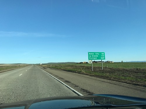
I-84 West - Distance Marker
Distance marker on I-84 west. Distance to Baker City, La Grande, and Portland.
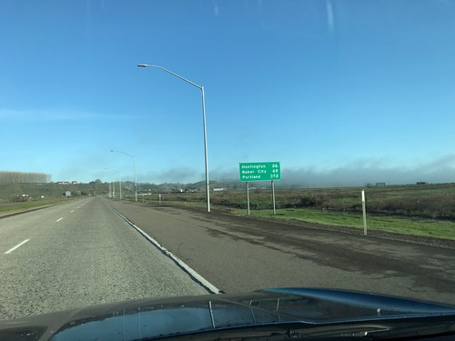
I-84 West - Distance Marker
Distance marker on I-84 west. Distance to Huntington, Baker City, and Portland.
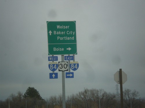
OR-201 North at I-84/US-30 (Exit 374)
OR-201 north at I-84/US-30 East to Boise (Idaho). Continue over the freeway for I-84/US-30 West to Baker City and Portland. Continue north on OR-201 for Weiser (Idaho).
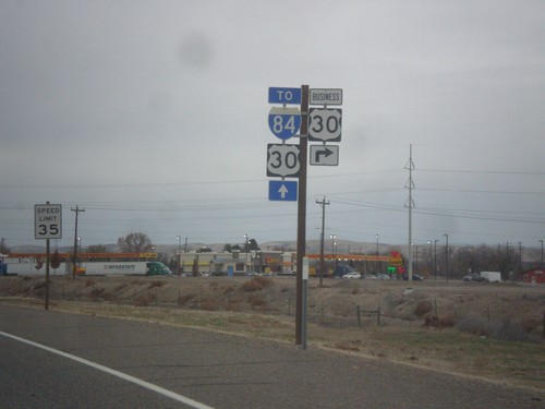
OR-201 North at Bus. US-30 East
OR-201 North at Bus. US-30 East. Continue north on OR-201 for I-84 and US-30.
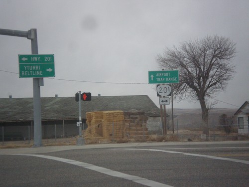
SW 4th Ave. West at OR-201
SW 4th Ave. West at OR-201. Continue straight on SW 4th Ave. for the Ontario Airport and Trap Range.
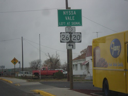
SW 4th Ave. West at OR-201
SW 4th Ave. West at OR-201. Turn left at signal for OR-201 South to US-20/US-26/Nyssa/Vale.
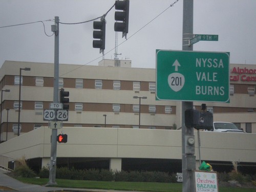
SW 4th Ave West - To OR-201/US-20/US-26
SW 4th Ave West in Ontario at 9th St. Continue west on 4th Ave. for To OR-201/US-20/US-26 to Nyssa, Vale, and Burns.
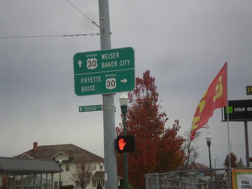
Oregon St. North at Idaho Ave. - Bus. US-30 Jct.
Oregon St. North at Idaho Ave. - Bus. US-30 Jct. in Ontario. Turn right on Bus. US-30 East for Payette (Idaho) and Boise (Idaho). Continue north on Oregon St. for Bus. US-30 West to Baker City and Weiser (Idaho).
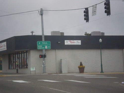
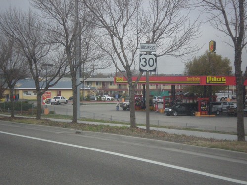
Bus. US-30 West (Idaho Ave.) at Oregon St.
Bus. US-30 West (Idaho Ave.) at Oregon St. in Ontario. Turn right to continue west on Bus. US-30 towards Weiser (Idaho) and Baker City. Continue straight on Idaho Ave. for Treasure Valley Community College.
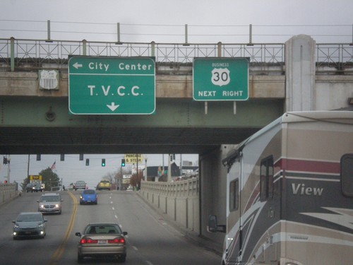
Bus. US-30 West - Ontario
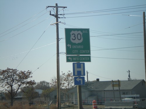
Bus. US-30 West (Idaho Ave.) approaching Oregon St. in Ontario. Turn right on Oregon St. to continue west on Bus. US-30. Turn left on Oregon St. for (Ontario) City Center; continue west on Idaho St. for Treasure Valley Community College. Signs are attached to railroad overpass.
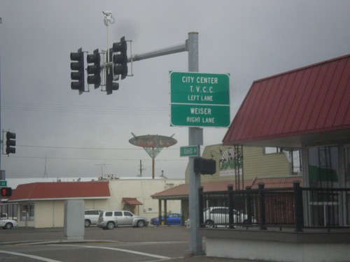
Bus. US-30 (Idaho Ave.) Approaching Oregon St.
Bus. US-30 (Idaho Ave.) approaching Oregon St. in Ontario. Turn right to continue west on Bus. US-30 towards Weiser (Idaho). Turn left on Oregon St. for City Center and Treasure Valley Community College.
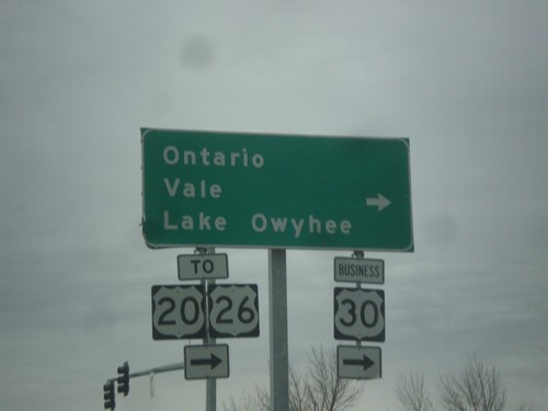
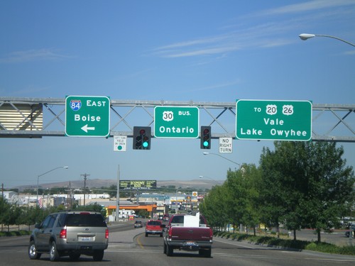
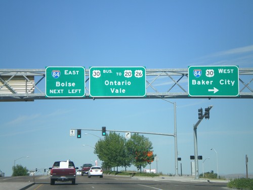
I-84 West Offramp at US-30/Bus. US-30 - Ontario
I-84 West Offramp at US-30/Bus. US-30 Junction in Ontario. Turn right for Bus. US-30 to US-26/US-26/Ontario/Vale/Lake Owyhee.
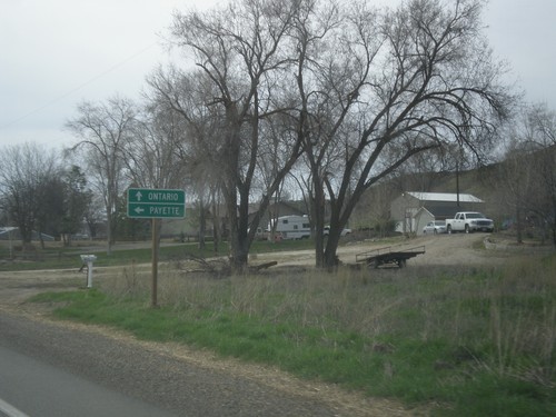
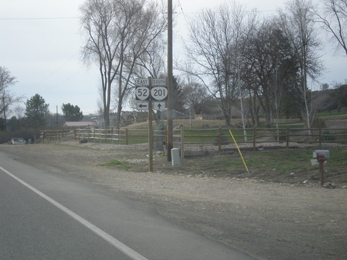
OR-201 south at OR-52
OR-201 south at OR-52. Turn left on OR-52 for Payette (Idaho). Continue south on OR-201 for Ontario.
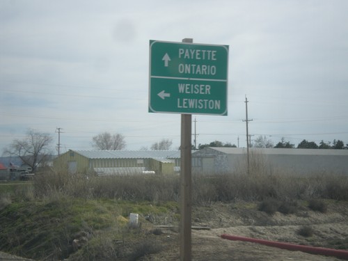
OR-201 South at US-95 Spur
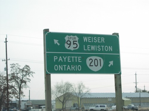
OR-201 south at US-95 Spur north to Lewiston and Weiser (both communities in Idaho). Continue south on OR-201 for Payette (ID) and Ontario.
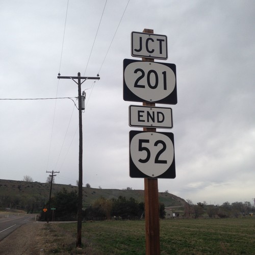
End OR-52 East at OR-201
End OR-52 east at OR-201 in Malheur County. OR-52 is a short continuation of ID-52 from Idaho.
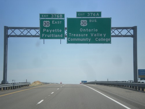
I-84 East - Exits 376A and B
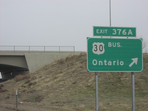
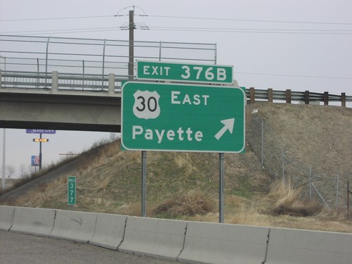
I-84 east approaching Exit 376A - Bus. US-30/Ontario/Treasure Valley Community College. Approaching Exit 376B - US-30 East/Fruitland/Payette. Both Fruitland and Payette are in Idaho.
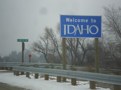
US-95 Spur North - Welcome To Idaho
Welcome To Idaho on US-95 Spur North. The Idaho welcome sign is on the Oregon side of the Snake River. The highway crosses the Snake River here into Weiser, Idaho.
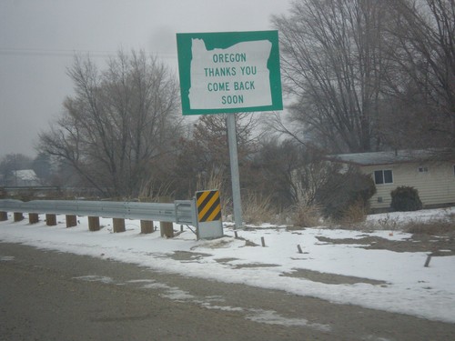
US-95 Spur North - Leaving Oregon
Oregon Thanks You - Come Back Soon on US-95 Spur approaching the Snake River bridge into Idaho.
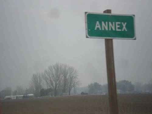
US-95 Spur - Annex
Entering the community of Annex, on US-95 Spur north. Annex is directly across the Snake River from Weiser, Idaho.
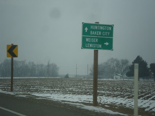
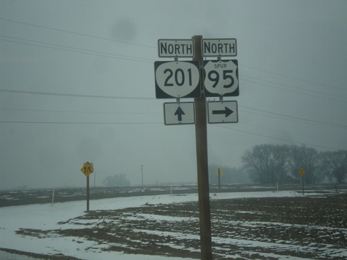
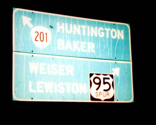
OR-201 North at US-95 Spur
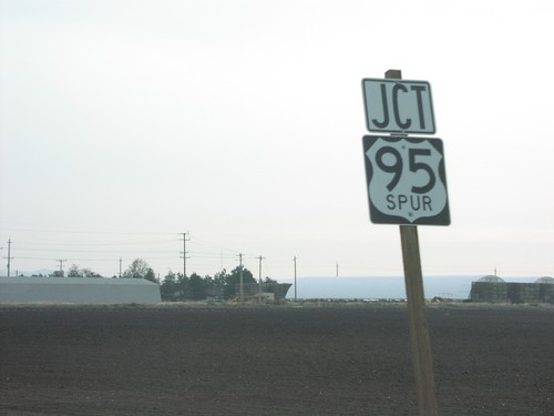
OR-201 north at US-95 Spur. Use US-95 Spur north for Weiser and Lewiston (both in Idaho). Continue north on OR-201 for Baker City and Huntington. US-95 Spur connects OR-201 with US-95 across the Snake River in Idaho.
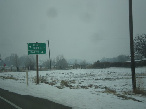
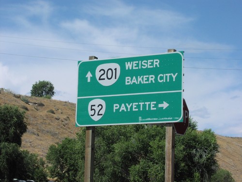
OR-201 North at OR-52
OR-201 north at OR-52 east to Payette (Idaho). Continue north on OR-201 for Weiser (Idaho) and Baker City.
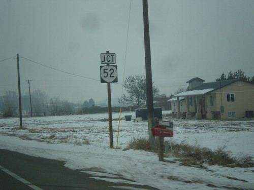
OR-201 North Approaching OR-52
OR-201 North approaching OR-52. OR-52 is a short highway connecting OR-201 with ID-52 in Payette, Idaho.
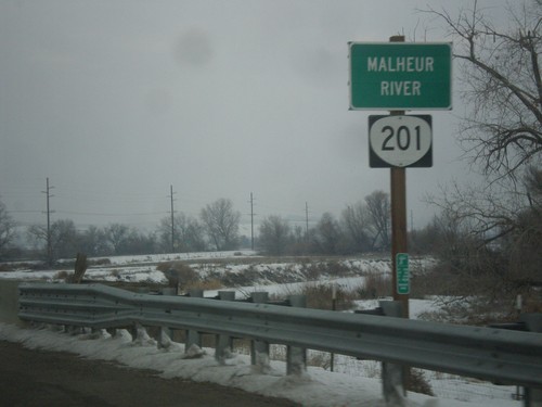
OR-201 North - Malheur River
OR-201 north at the Malheur River bridge. The Malheur River flows into the Snake River just east of here.
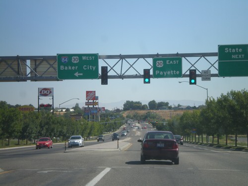
End Bus. US-30 At I-84/US-30
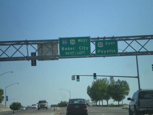
End Business US-30 at I-84 and US-30. Turn left for I-84/US-30 West to Baker City. Continue ahead for US-30 east to Payette (Idaho). The bluff in the background of the picture is in Idaho.
End Business US-30 at I-84 and US-30
End Business US-30 East at I-84 and US-30. Turn left for I-84/US-30 West for Baker City. Continue ahead for US-30 East to Payette (Idaho).
US-20/US-26 East at OR-201
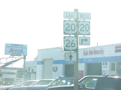
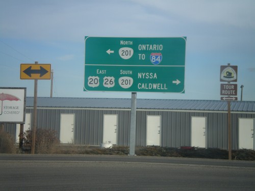
US-20/US-26 east at OR-201. Use OR-201 South/US-20 East/US-26 East to Nyssa and Caldwell (ID). Use OR-201 North for Ontario and I-84.
US-20/US-26 East at OR-201
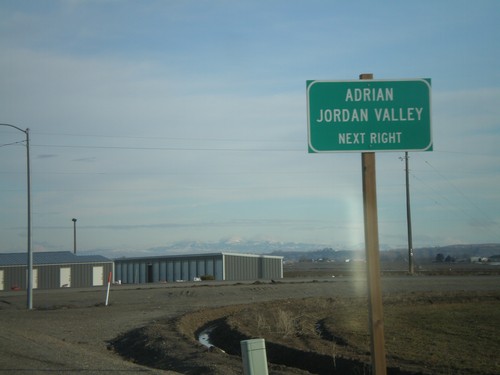
US-20/US-26 east at OR-201. Turn right on OR-201 South/US-20/US-26 East for Adrian and Jordan Valley.
US-20/US-26 East at OR-201
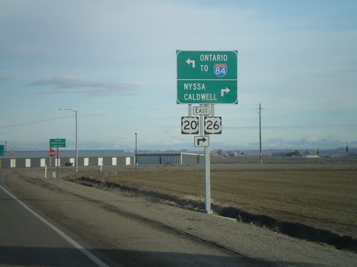
US-20/US-26 east at OR-201. Use OR-201 South/US-20 East/US-26 East to Nyssa and Caldwell (ID). Use OR-201 North for Ontario and I-84.
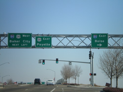
Bus. US-30 East at I-84
Bus. US-30 east at I-84 east to Boise - I-84 west to Baker, and US-30 east to Payette.
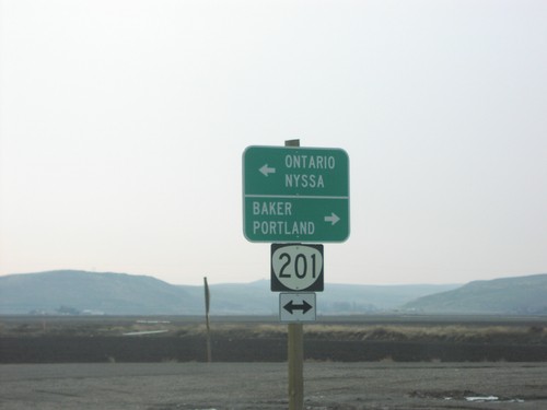
End US-95 Spur South at OR-201
End US-95 Spur at OR-201 north to Baker and Portland; south to Nyssa and Ontario.
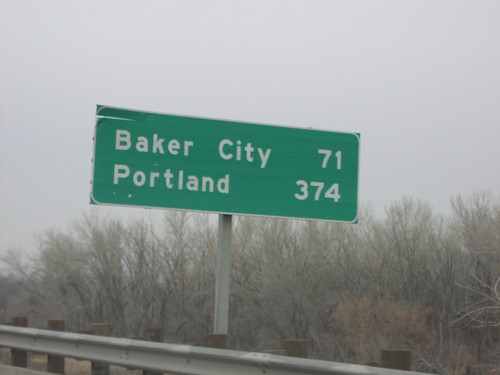
I-84 West - Distance Marker
I-84 west at first Oregon distance marker on I-84 to Baker City and Portland (371 miles).
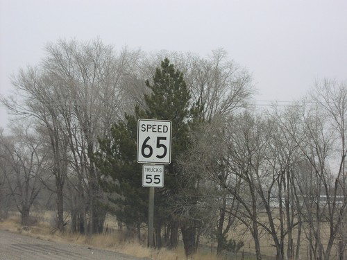
I-84 West - Speed 65
I-84, just west of Oregon-Idaho line - Speed 65. The top speed in Oregon is 65, 10 miles less than Idaho. Notice Oregon does not use the word limit in the speed limit signs.
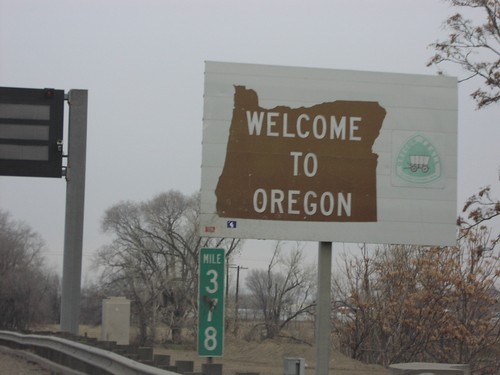
I-84 West - Welcome To Oregon
Welcome to Oregon on I-84 west at the ID-OR state line. The welcome sign on this border has an Oregon Trail theme.
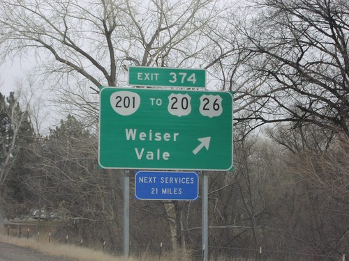
I-84 West Exit 374
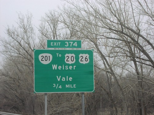
I-84 west at Exit 374, OR-201/To US-20/To US-26/Weiser/Vale. Next services 21 miles, in Farewell Bend.
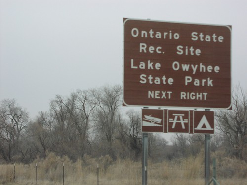
I-84 West Exit 374 - Ontario SRA
Ontario State Rec. Site and Lake Owyhee State Park use Exit 374, next exit on I-84 west.
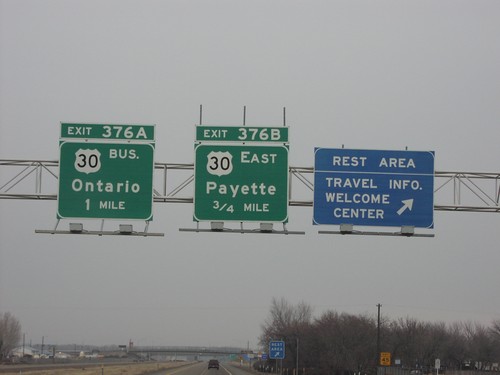
I-84 West Exit376AB
I-84 west at Oregon Welcome Center. Approaching Exit 376AB, US-30 east to Payette, and the Bus. US-30 to Ontario. First Oregon exit on westbound I-84.
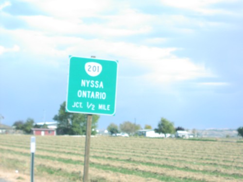
US-20/US-26 East Approaching OR-201
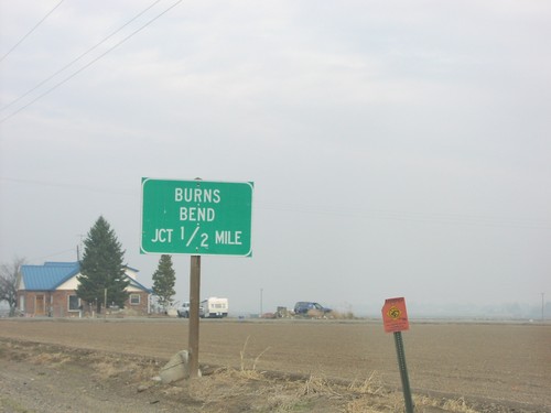
US-20/US-26 east approaching OR-201 to Nyssa and Ontario, 1/2 mile.
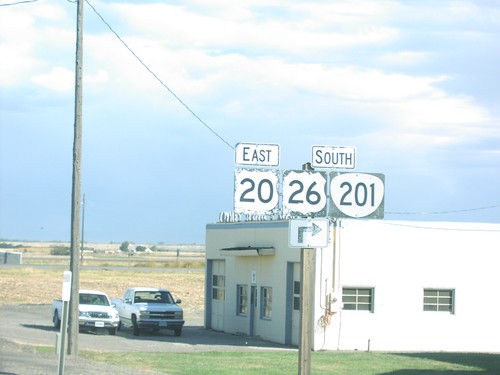
US-20/US-26 East at OR-201
US-20/US-26 east at OR-201 junction. OR-201 follows US-20/US-26 south to Nyssa.
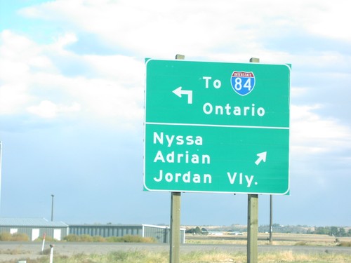
US-20/US-26 East at OR-201
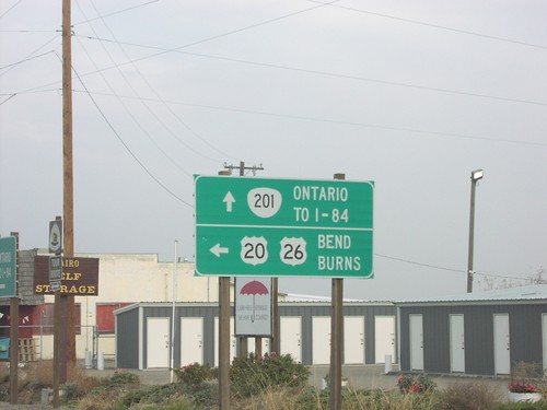
US-20/US-26 east at OR-201 north To I-84/Ontario and south to Nyssa, Adrian, and Jordan Valley.
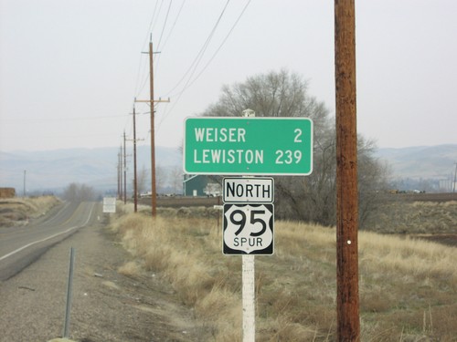
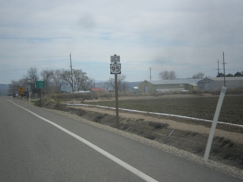
US-95 Spur North - Distance Marker
US-95 Spur North to Lewiston and Weiser. US-95 Spur connects the Oregon side of the Snake River, with the Idaho side at Weiser.
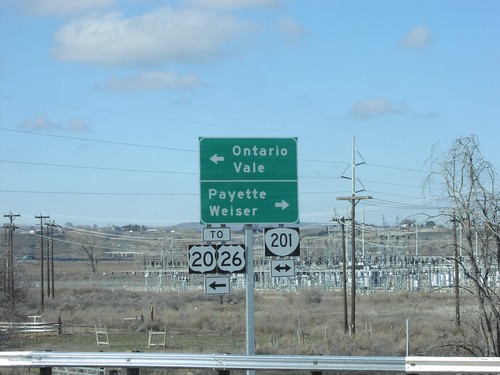
I-84 West at Exit 374 - OR-201 To US-20/US-26
I-84 west Exit 374 offramp at OR-201. Use OR-201 north for Payette (ID) and Weiser (ID). Use OR-201 south for Ontario, Vale and US-20/US-26.
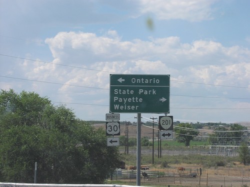
I-84 at Exit 374 - OR-201/Bus. US-30 Jct.
I-84 East (Exit 374) offramp at OR-201/Bus. US-30 Jct. Use OR-201 north to State Park, Payette (Idaho), and Weiser (Idaho). Use OR-201 South/Bus. US-30 for Ontario.
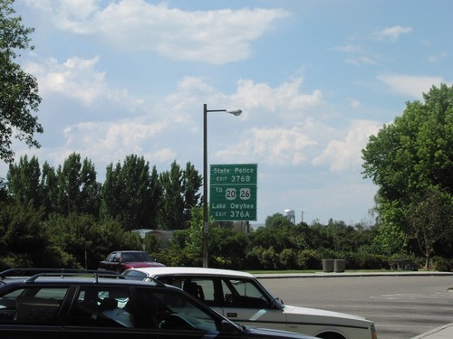
I-84 West - Exit 376
I-84 west approaching Exit 376A and B. Use Exit 376A for US-20/US-26 to Lake Owyhee. Use Exit 376B for State Police.
Sheaville
Vale
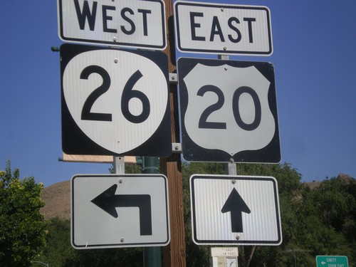
US-20 East Approaching US-26 West - Vale
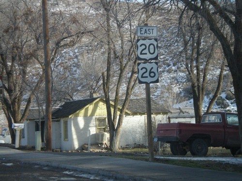
US-20 east approaching US-26 in downtown Vale. The US-26 shield here has been incorrectly signed using the Oregon state highway shield. So it appears to be a US-20/OR-26 junction.
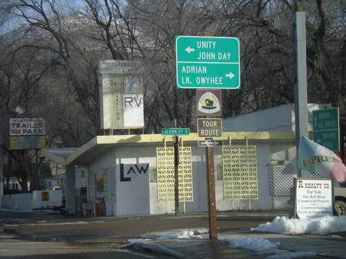
US-20 East at US-26 West
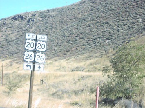
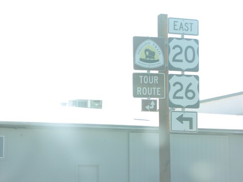
US-20 east at US-26 in downtown Vale. Use US-26 west for Unity and John Day. Use Glenn St. south for Adrian and Lake Owyhee. US-20 and US-26 join eastwards into Idaho.
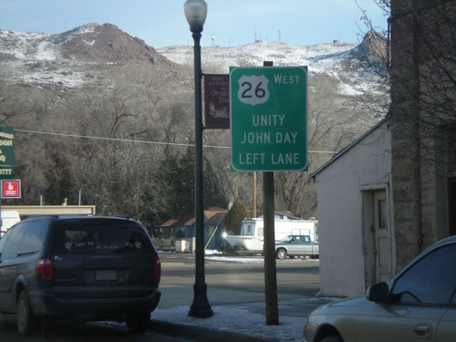
US-20 East Approacing US-26 West
US-20 east approaching US-26 in downtown Vale. Use US-26 west for Unity and John Day. US-20 and US-26 join eastwards into Idaho.
