Culberson County, Texas
Localities: Carlsbad | Pine Springs | Van Horn
Carlsbad
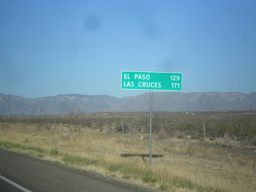
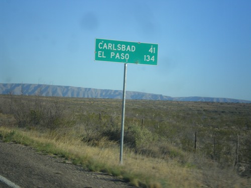
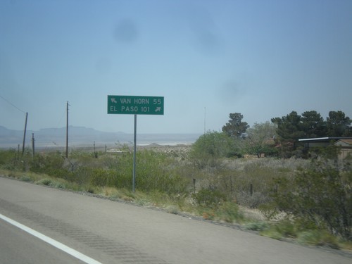
US-62/US-180 West - Distance Marker
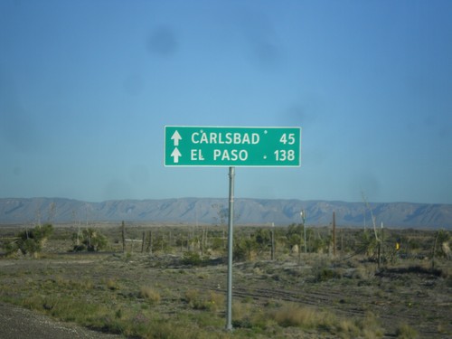
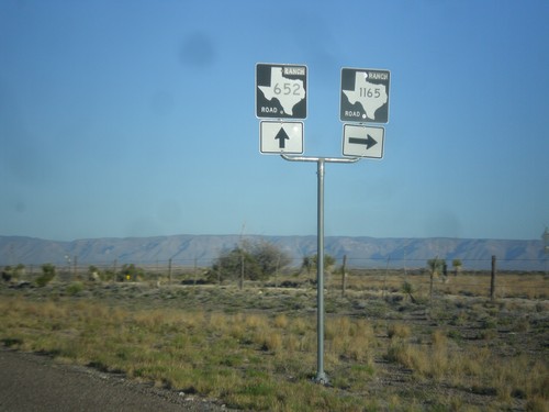
Distance marker on US-62/US-180 west. Distance to El Paso and Las Cruces (NM). Taken just west of RM-652 and the Texas-New Mexico state line.
Pine Springs
Van Horn
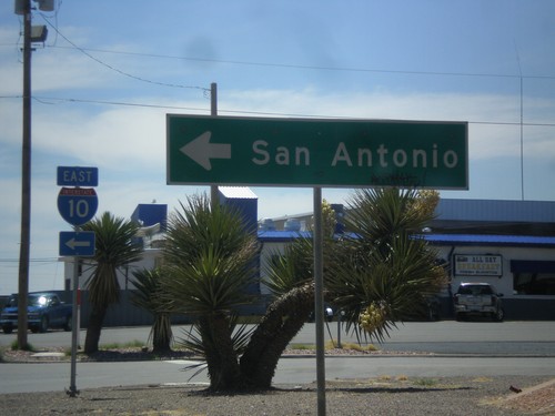
Golf Course Dr. at I-10 East
Golf Course Drive at I-10 east to San Antonio. This is the western end of the Van Horn business loop.
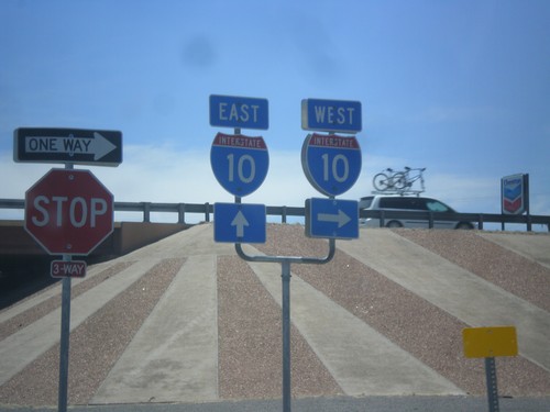
BL-10 West at I-10
BL-10 west (Golf Course Dr.) at I-10. Turn right for I-10 west, continue ahead and go under freeway for I-10 east.
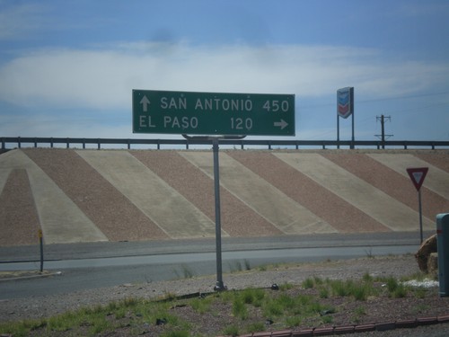
BL-10 (Golf Course Dr.) at I-10
BL-10 (Golf Course Dr.) at I-10. Turn right for I-10 west to El Paso; left for I-10 east to San Antonio.
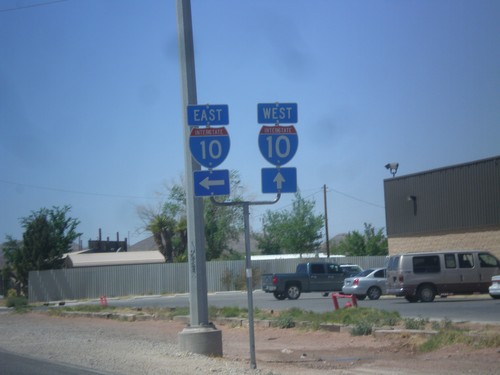
BL-10 West at I-10
BL-10 west at I-10 jct. Turn left for I-10 east; continue straight ahead for I-10 west.
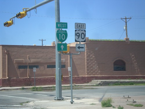
BL-10 West/TX-54 South - Van Horn
BL-10 West/TX-54 south (Broadway) at Van Horn St. Turn left for TX-54 south (to) US-90 east. This is the western terminus of US-90.
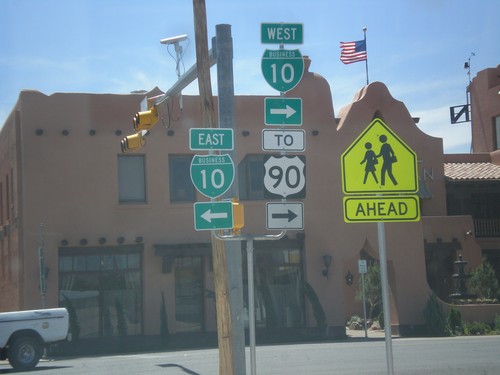
TX-54 South at BL-10
TX-54 south at BL-10/To US-90. Turn left for BL-10 West, turn right for BL-10 East/TX-54 South, to US-90.
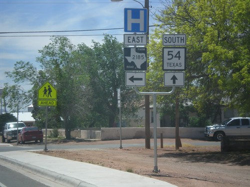
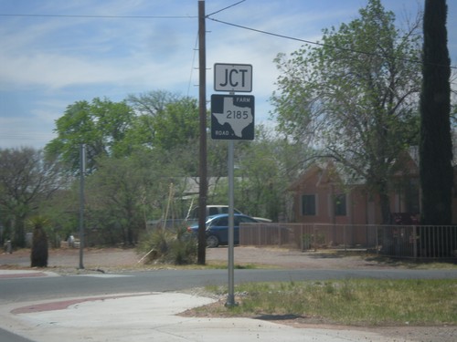
TX-54 South at FM-2185 East
TX-54 south at FM-2185 east. Use FM-2185 east for the Culberson County Hospital.
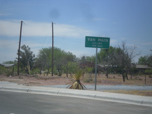
TX-54 South - Van Horn City Limit
Van Horn City Limit - Pop. 2500. Taken on TX-54 south. Van Horn is the county seat of Culberson County.
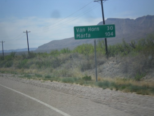
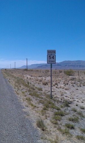
TX-54 South - Distance Marker
Distance marker on TX-54 south. Distance to Van Horn and Marfa (via US-90).
