Duchesne County, Utah
Localities: Bridgeland | Duchesne | Hanna | Kamas | Myton | Roosevelt | Strawberry | Tabiona
Bridgeland
Duchesne
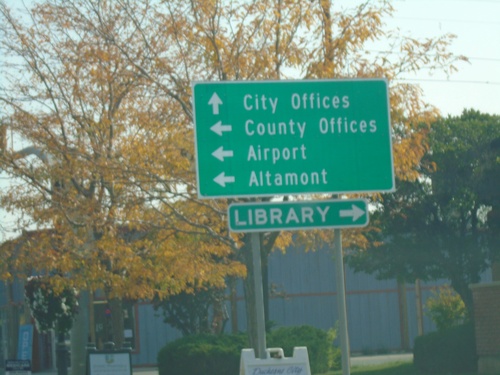
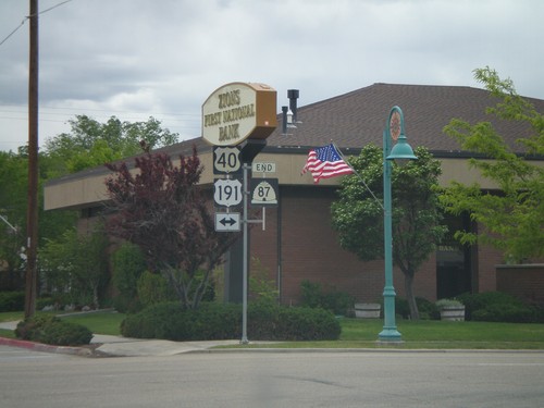
US-40 East/US-191 North at UT-87
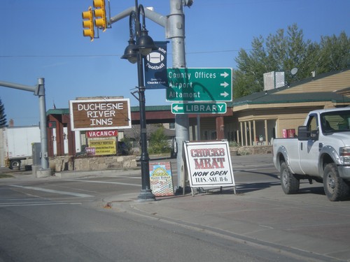
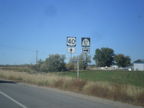
US-40 East/US-191 North at UT-87 to County Offices, Airport, and Altamont. Turn left for Library. Continue straight for City Offices.
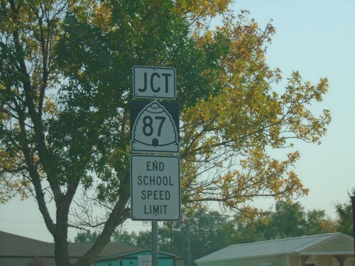
US-40 East/US-191 North Approaching UT-87
US-40 East/US-191 North (E Main St.) approaching UT-87 (Center St.) in Duchesne.
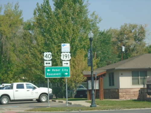
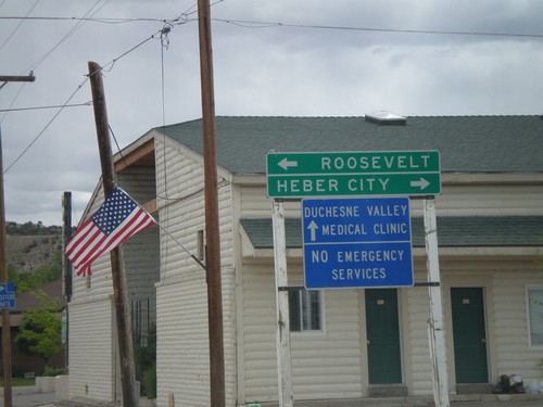
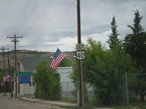
US-191 North at US-40
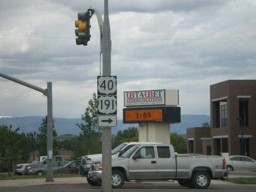
US-191 North at US-40 in Duchesne. Turn left for US-40 west to Heber City; turn right for US-40 East/US-191 North to Roosevelt. US-191 North joins US-40 eastbound to Vernal. Turn right to continue on the Dinosaur Diamond Byway.
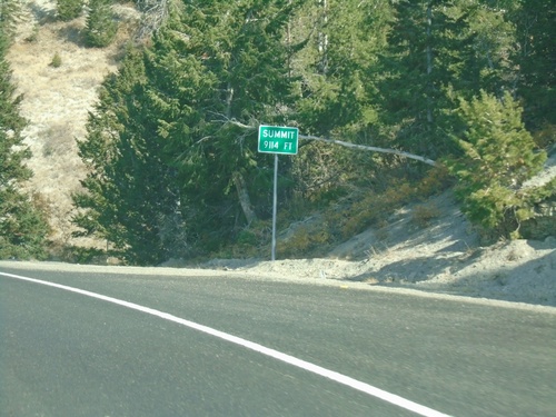
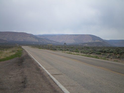
US-191 North - Elevation 9114 Feet
US-191 North - Elevation 9114 Feet. This is the summit of the divide between the Price River basin and the Duchesne River basin.
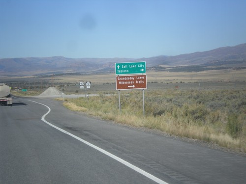
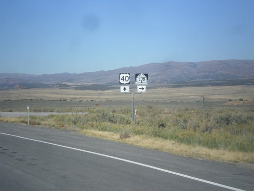
US-40 West Approaching UT-208
US-40 West approaching UT-208 to Tabiona and Granddaddy Lakes Wilderness Trails.
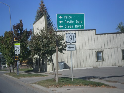
US-40 West/US-191 South at US-191 South
US-40 West/US-191 South at US-191 South in Duchesne. Turn left on US-191 south for Price, Castle Dale, and Green River. US-191 north joins US-40 east to Vernal.
Hanna
Kamas
Myton
Roosevelt
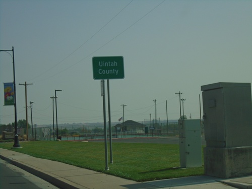
US-40 East/US-191 North - Uintah County
Entering Uintah County on US-40 East/US-191 North. The Uintah/Duchense county boundary also marks the boundary between the cities of Roosevelt and Ballard.
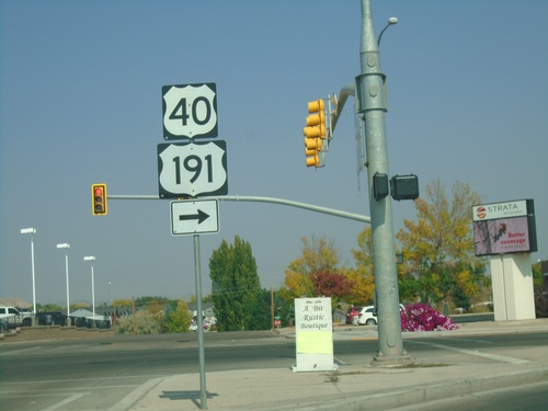
US-40 East/US-191 North at UT-121
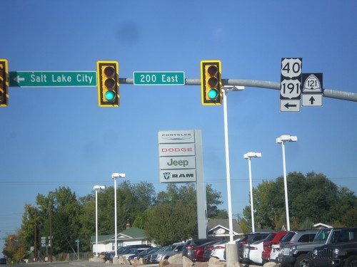
US-40 East/US-191 North (N 200 E) at UT-121 (E 200 N). Turn right on E 200 N to continue on US-40 East/US-191 North.
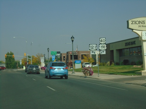
US-40 East/US-191 North Approaching UT-121
US-40 East/US-191 North approaching UT-121 in Roosevelt. The UT-121 shield is incorrectly displayed as US-121.
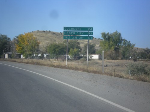
US-40 West/US-191 South - Distance Marker
Distance Marker on US-40 West/US-191 South. Distance to Duchesne, Heber City, and Salt Lake City.
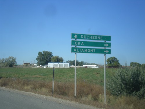
US-40 West/US-191 South Approaching UT-87
US-40 West/US-191 South approaching UT-87 to Ioka and Altamont. Continue west on US-40/US-191 for Duchesne.
