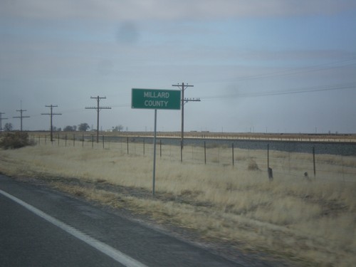
Millard County, Utah
Localities: Baker | Beaver | Cove Fort | Delta | Fillmore | Garrison | Hinckley | Holden | Kanosh | Lynndyl | Meadow | Scipio
No Place Associated
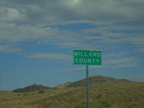
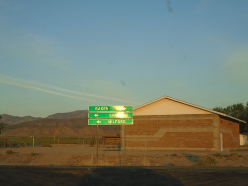
UT-21 West - Millard County
Entering Millard County on UT-21 west.
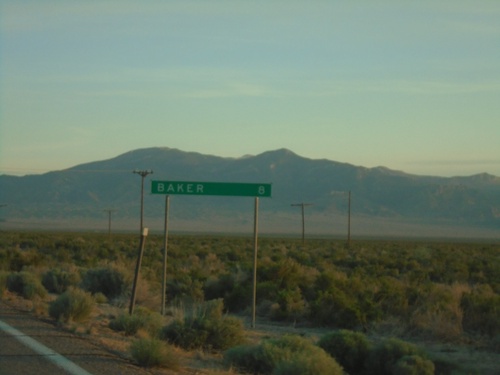
Baker
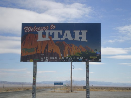
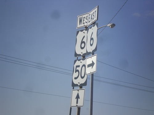
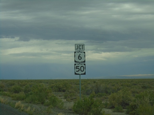
US-6/US-50 East - Welcome to Utah
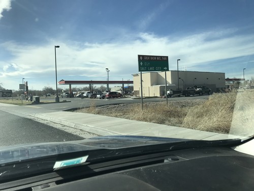
Welcome to Utah on US-6/US-50 East. Taken at the Border Inn on the Utah-Nevada border.
Beaver
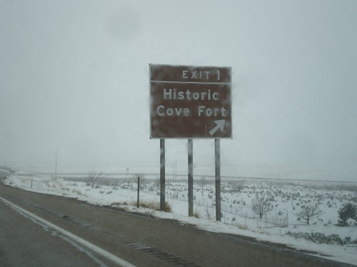
I-70 West - Exit 1
I-70 West at Exit 1 - Historic Cove Fort. This is the last exit westbound on I-70 before I-15.
I-70 West Approaching I-15
I-70 West approaching I-15 in Millard County. This is the western end of I-70.
Cove Fort
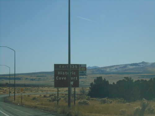
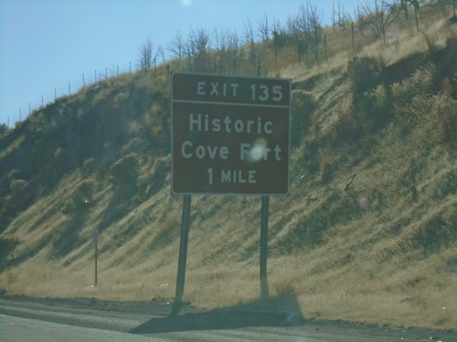
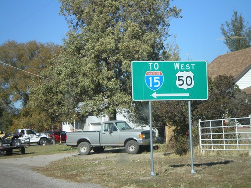
I-15 South - Exit 135
I-15 south at Exit 135 - Historic Cove Fort
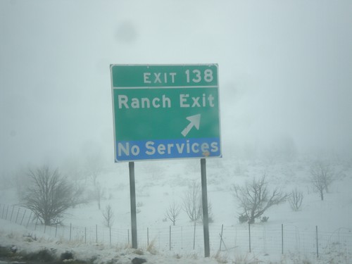
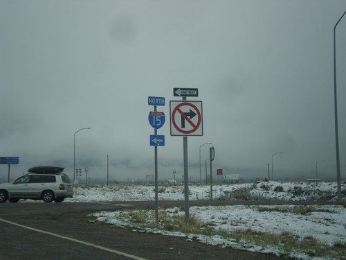
I-15 North - Exit 138
I-15 north at Exit 138 - Ranch Exit
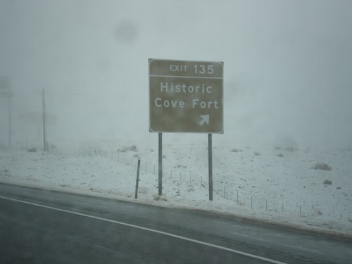
I-15 North - Exit 135
I-15 north at Exit 135 - Historic Cove Fort.
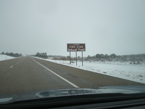
I-70 West - Leaving Fishlake National Forest
Leaving Fishlake National Forest on I-70 west.
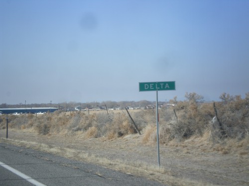
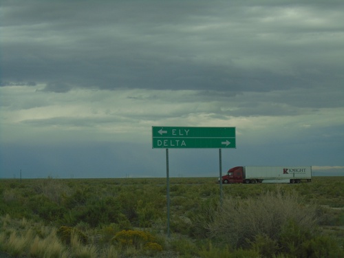
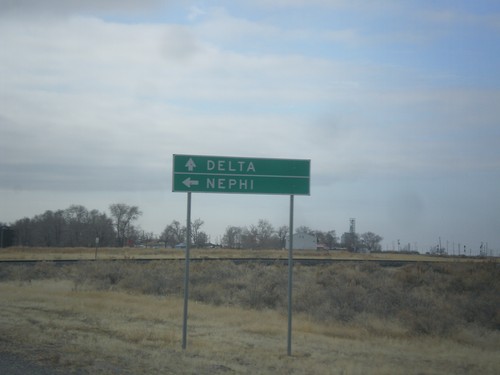
Delta
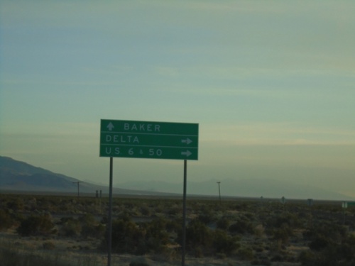
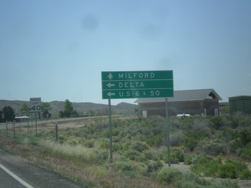
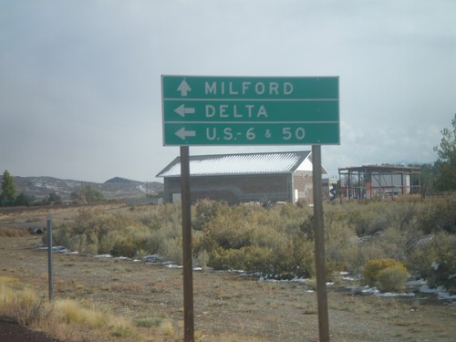
US-50 West at US-6 Jct.
US-50 west at US-6 jct. in Delta. Turn right on US-6 east for Salt Lake City. Continue west on US-6/US-50 for Ely (Nevada) and Great Basin National Park (Nevada). US-6 joins US-50 westbound to Ely.
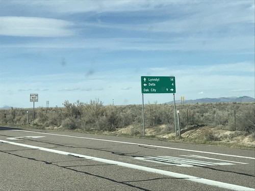
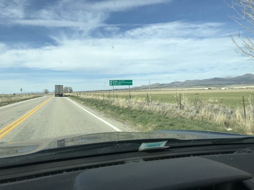
US-50 West at UT-125 and UT-136
US-50 West at UT-125 and UT-136 junction. Turn right for UT-125 east to Oak City. Continue straight for UT-136 north to Lynndyl. Turn left to continue west on US-50 towards Delta.
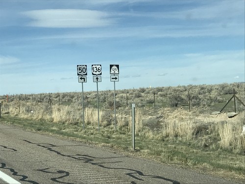
US-50 West at UT-125 and UT-136
US-50 West at UT-125 and UT-136 in Millard County. Turn right for UT-125 east; straight for UT-136 north. Turn left to continue west on US-50. The UT-136 shield is incorrectly marked as US-136.
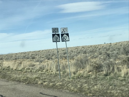
US-50 West Approaching UT-125 and UT-135
US-50 West approaching UT-125 and UT-135 in Millard County.
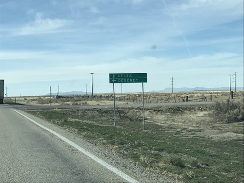
US-50 West at 4500 South
US-50 West at 4500 South to Deseret. Continue west on US-50 for Delta.
US-50 West at N 3200 W Jct.
US-50 West at N 3200 W Jct in Millard County. Merge left to continue west on US-50 to Delta; continue straight for N 3200 W to Oak City.
US-50 West - N 3200 W Jct.
US-50 West approaching N 3200 W Junction. Merge left to continue west on US-50.
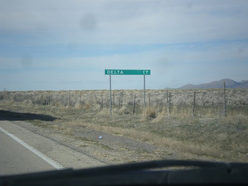
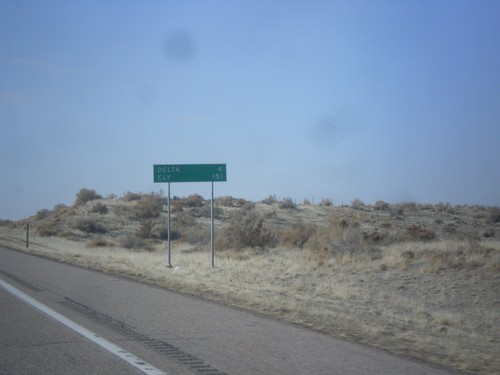
US-50 West - Distance Marker
Distance marker on US-50 west. Distance to Delta.
US-50 West at UT-100
US-50 West at UT-100 in Millard County.
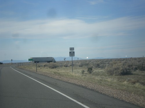
US-6/US-50 West Shield - Millard County
US-6/US-50 West shield in Millard County
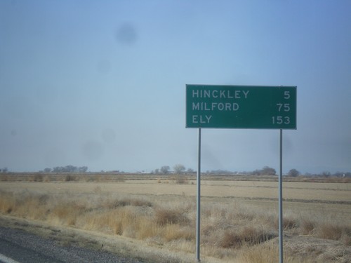
US-6/US-50 West - Distance Marker
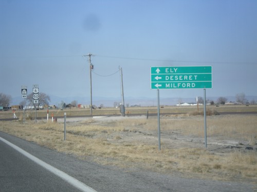
Distance marker on US-6/US-50 west. Distance to Hinckley, Milford (via UT-257), and Ely (Nevada).
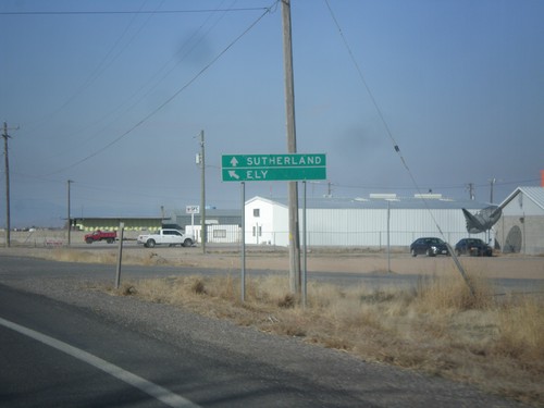
US-6/US-50 West - 1000 West
US-6/US-50 West at 1000 West to Sutherland. Merge left to continue west to US-6/US-50 to Ely (Nevada).
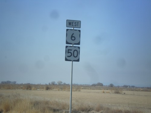
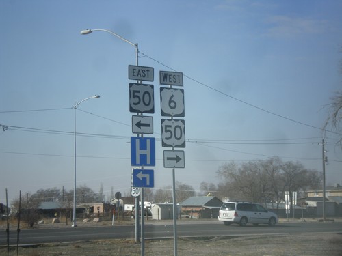
US-50 West at US-6
US-50 West at US-6. Turn right for US-6 east; continue straight for US-6/US-50 west.
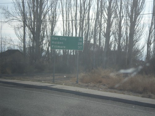
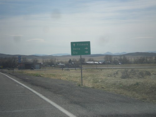
US-50 East - Distance Marker
Distance marker on US-50 east. Distance to Oak City, Holden, and Fillmore.
US-6 West at US-50
US-6 West at US-50 in Delta. Turn right for US-6/US-50 west; left for US-50 east.
US-6 West Approaching US-50 in Delta
US-6 West approaching US-50 in Delta. Turn right for US-6/US-50 West to Ely (Nevada); turn left for US-50 East to Fillmore. US-50 joins US-6 westbound to Ely.
US-6 West - Delta
Entering Delta on US-6 west.
US-6 West - Distance Marker
Distance marker on US-6 west. Distance to Delta and Ely (Nevada).
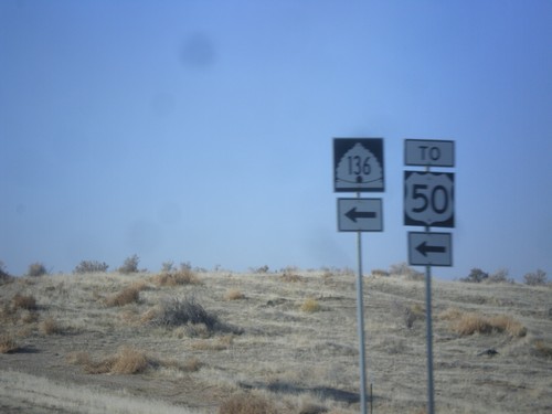
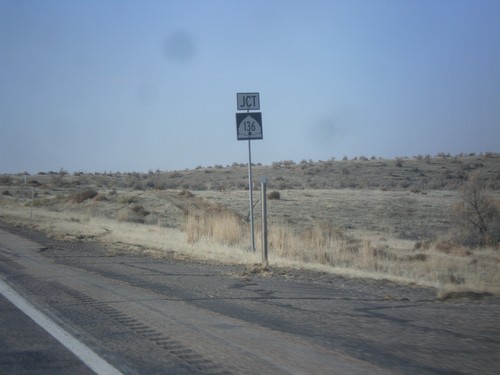
US-6 West at UT-136 To US-50 (East)
US-6 West at UT-136 To US-50 (East). For US-50 west continue west along US-6 into Delta.
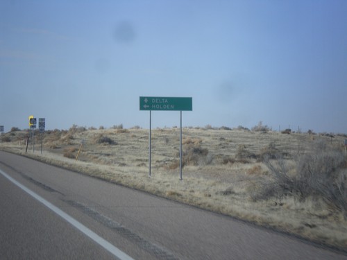
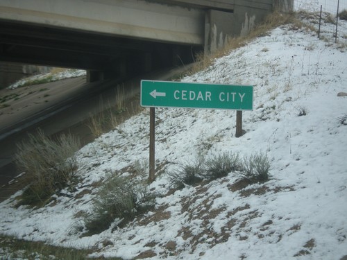
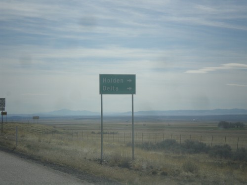
US-6 West Approaching UT-136
US-6 West approaching UT-136 west to Holden. Continue west on US-6 to Delta.
US-6 West Approaching UT-136
US-6 West approaching UT-136.
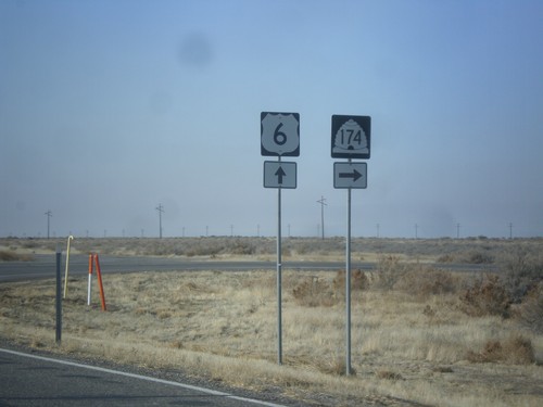
US-6 West at UT-174
US-6 West at UT-174 West in Millard County.
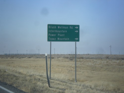
US-6 West Approaching UT-174
US-6 West approaching UT-174/Brush Wellman Road to Intermountain Power Plant, and Topaz Mountain.
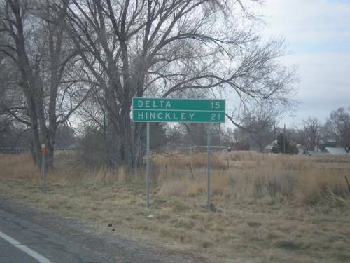
US-6 West - Distance Marker
Distance marker on US-6 west. Distance to Delta and Hinckley.
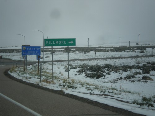
Fillmore
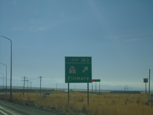
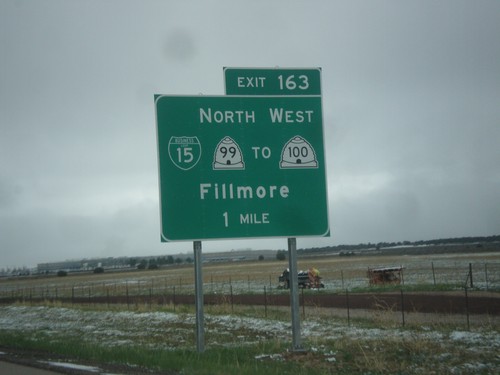
I-15 South - Exit 163
I-15 south at Exit 163 - UT-99/Fillmore
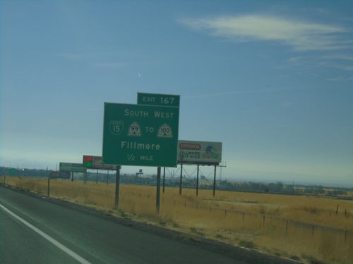
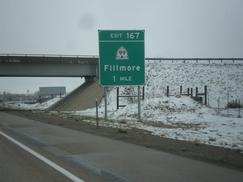
I-15 South - Exit 167
I-15 south approaching Exit 167 - Bus. I-15/UT-99 South/To UT-100 West/Fillmore
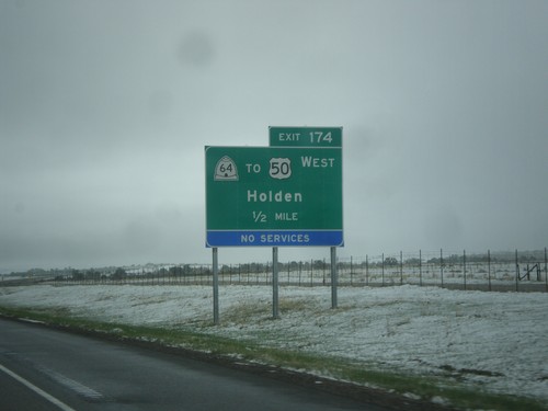
I-15 North - Exit 174
I-15 north approaching Exit 174 - UT-64/To US-50 West/Holden.
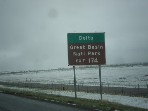
I-15 North - Use Exit 174 for Delta and Great Basin NP
I-15 North approaching Exit 174. Use Exit 174 for Delta and Great Basin NP (in Baker, NV).
BL-15/UT-99 South at I-15 North
BL-15/UT-99 South at I-15 North in Fillmore.
BL-15/UT-99 South at I-15 North (Exit 167)
BL-15/UT-99 South at I-15 North (Exit 167) in Fillmore. Use I-15 north for Salt Lake City.
BL-15/UT-99 South at I-15 (Exit 167)
BL-15/UT-99 South at I-15 (Exit 167) in Fillmore. Use I-15 south for Cedar City; I-15 north for Salt Lake.
BL-15/UT-99 North at I-15 South (Exit 167)
BL-15/UT-99 North at I-15 South (Exit 167) to Cedar City.
I-15 North at Exit 167 Offramp
I-15 North at Exit 167 Offramp - BL-15/UT-99 Jct. Turn right on BL-15/UT-99 South for Fillmore.
I-15 North - Exit 167
I-15 north approaching Exit 167 - UT-99/Fillmore. This is the northern end of the Fillmore business loop.
I-15 North - Exit 163
I-15 north approaching Exit 163 - BL-15/UT-99 North/To UT-100 West/Fillmore. Fillmore is the county seat of Millard County, and was the original territorial capital of Utah. This is the southern end of the Fillmore business loop.
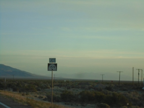
Garrison
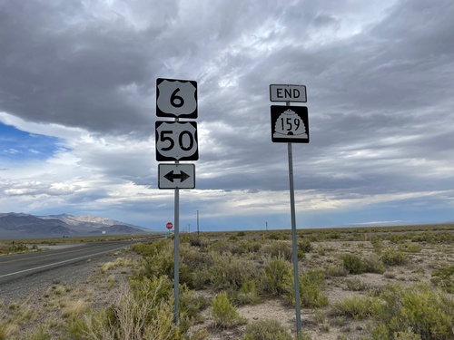
End UT-159 North at US-6/US-50
End UT-159 North at US-6/US-50 in Millard County. Use US-6/US-50 East to Delta; US-6/US-50 West to Ely (Nevada).
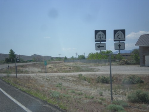
UT-159 North Approaching US-6/US-50
UT-159 North approaching US-6/US-50 in Millard County.
End UT-159 North at US-6/US-50
End UT-159 North at US-6/US-50 in Millard County.
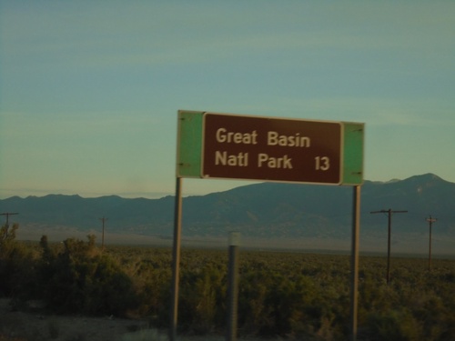
UT-21 East - Distance Marker
Distance marker on UT-21 east. Distance to Great Basin National Park.
UT-21 East - Distance Marker
Distance marker on UT-21 east. Distance to Baker (Nevada).
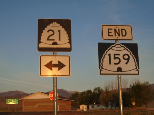
End UT-159 South at UT-21
End UT-159 south at UT-21 in Garrison. Turn right for UT-21 west to Baker (Nevada); left for UT-21 east to Garrison and Milford.
End UT-159 South at UT-21
End UT-159 South at UT-21 in Garrison.
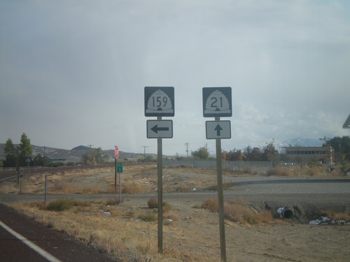
UT-21 West at UT-159 North
UT-21 West at UT-159 North in Garrison.
UT-21 West Approaching UT-159 North
UT-21 West approaching UT-159 North to Delta and US-6/US-50 Jct. Continue west on UT-21 for Baker (Nevada). UT-159 parallels the Utah-Nevada state line northwards.
UT-21 West Approaching UT-159
UT-21 West approaching UT-159 in Garrison
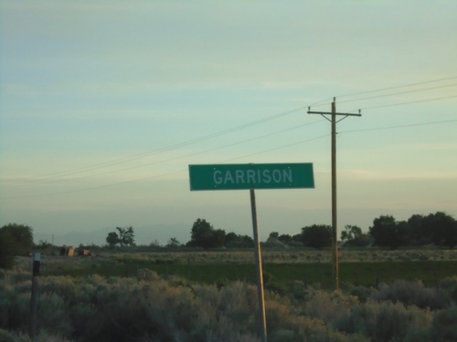
UT-21 West - Garrison
Entering Garrison on UT-21 west.
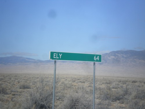
US-6/US-50 West - Distance Marker
Distance marker on US-6/US-50 West. Distance to Ely (Nevada). This is the last distance marker along US-6/US-50 west in Utah.
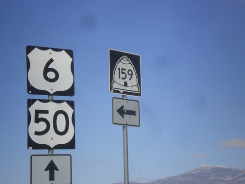
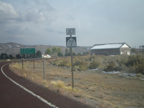
US-6/US-50 West at UT-159
US-6/US-50 West at UT-159 junction in Millard County.
US-6/US-50 West Approaching UT-159
US-6/US-50 West approaching UT-159 south to Garrison. Turn right for county road north to Gandy. UT-159 parallels the Utah-Nevada border and connects with UT-21 at Garrison.
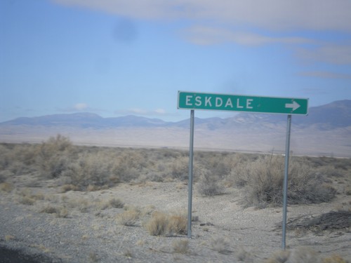
US-6/US-50 West - Eskdale Jct.
US-6/US-50 West at Eskdale Jct.
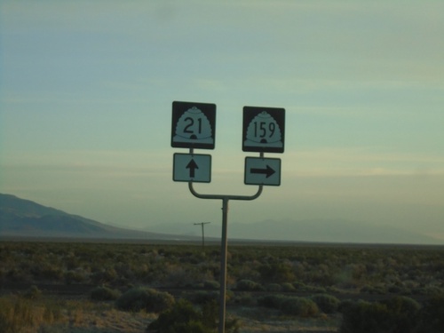
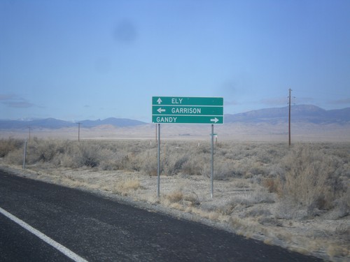
UT-21 East at UT-159
UT-21 east at UT-159 north in Garrison. Garrison is located inside Utah on the Nevada line.
UT-21 East at UT-159
UT-21 east approaching UT-159 north to US-6/US-50 and Delta. Continue east on UT-21 for Milford.
UT-21 East at UT-159
UT-21 east at UT-159 north.
UT-21 East at UT-159
UT-21 east approaching UT-159 north to US-6/US-50 and Delta.
UT-21 East Approaching UT-159
UT-21 east approaching UT-159 north.
Hinckley
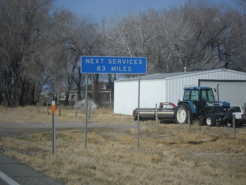
US-6/US-50 West - Next Services 83 Miles
US-6/US-50 West - Next Services 83 Miles in Hinckley. The next services are at the Utah-Nevada State Line.
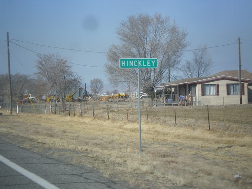
US-6/US-50 West - Hinckley
Entering Hinckley on US-6/US-50 west.
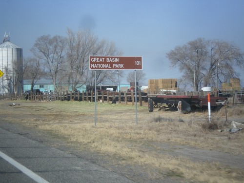
US-6/US-50 West - Distance Marker
Distance marker on US-6/US-50 west. Distance to Great Basin National Park. Great Basin National Park is in Baker, Nevada.
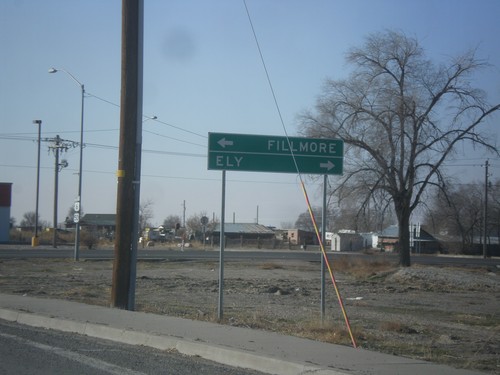
US-6/US-50 West at UT-257 South
US-6/US-50 West at UT-257 South to Milford and Deseret. Continue west on US-6/US-50 for Ely (Nevada).
Holden
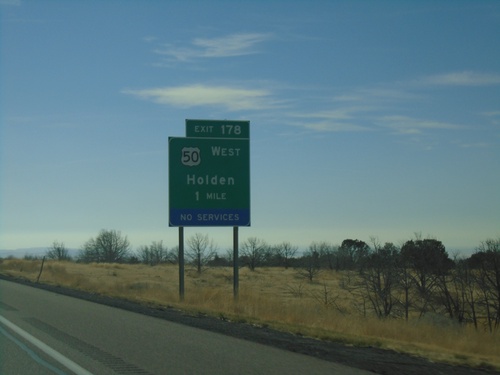
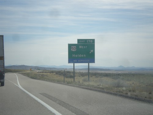
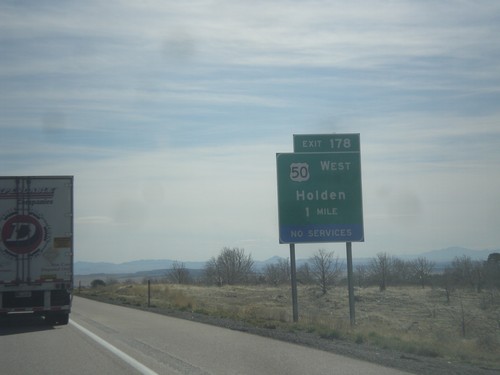
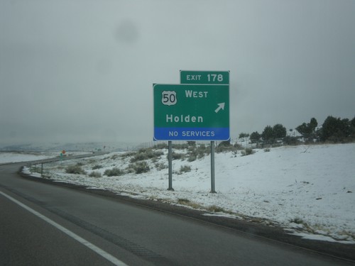
I-15 South - Exit 178
I-15 south approaching Exit 178 - US-50 West/Holden. US-50 leaves I-15 southbound here.
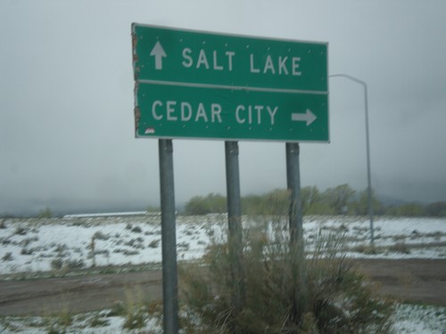
US-50 West Approaching UT-64 South
US-50 West approaching UT-64 South in Holden. Turn right for US-50 west to Delta and Ely (Nevada). Continue south for UT-64 to Fillmore.
I-15 South - Exit 178 Offramp at US-50
I-15 South - Exit 178 Offramp at US-50. Turn right for US-50 west to Holden and Delta.
I-15 South - Exit 178
I-15 south at Exit 178 - US-50 West/Holden. US-50 west leaves I-15 southbound here. US-50 joins I-15 northbound to Scipio.
I-15 South - Exit 178
I-15 south approaching Exit 178 - US-50 West/Holden. US-50 leaves I-15 southbound here.
I-15 North - Exit 178
I-15 north at Exit 178 - US-50 West/Holden. US-50 joins I-15 northbound to Scipio.
Kanosh
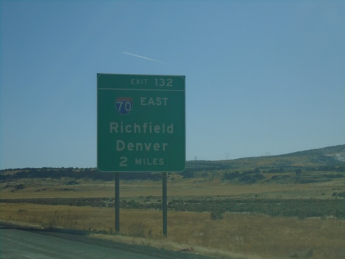
I-15 South - Exit 132
I-15 south approaching Exit 132 - I-70 East/Richfield/Denver (Colorado). This is the western terminus of I-70.
I-15 South - Exit 135
I-15 south approaching Exit 135 - Historic Cove Fort
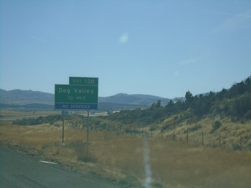
I-15 South - Exit 138
I-15 south approaching Exit 138 - Dog Valley
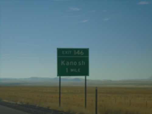
I-15 South - Exit 146
I-15 south approaching Exit 146 - Kanosh.
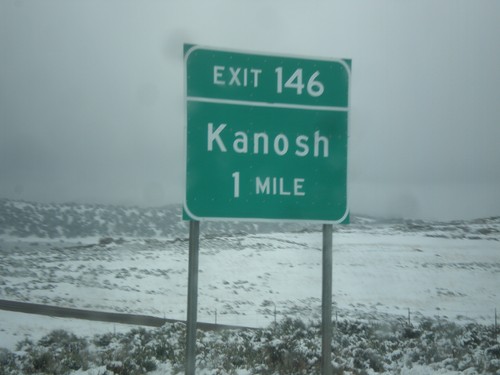
I-15 North - Exit 146
I-15 north approaching Exit 146 - Kanosh
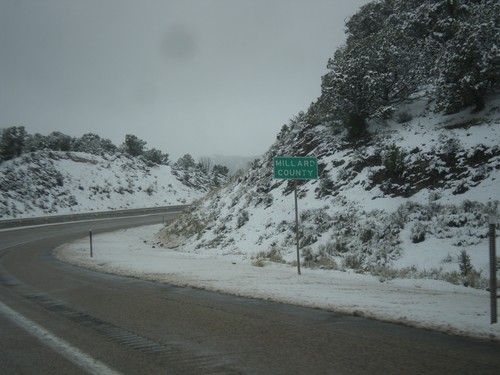
I-70 West - Millard County
Entering Millard County on I-70 west.
Lynndyl
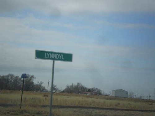
US-6 West - Lynndyl
Entering Lynndyl on US-6 west.
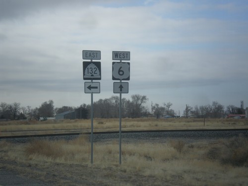
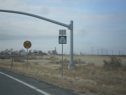
US-6 West at UT-132 West
US-6 West at UT-132 East in Lynndyl.
US-6 West Approaching UT-132
US-6 West approaching UT-132 east to Nephi. Continue west on US-6 for Delta.
US-6 West Approaching UT-132
US-6 West approaching UT-132 in Lynndyl.
US-6 West - Millard County
Entering Millard County on US-6 west.
Meadow
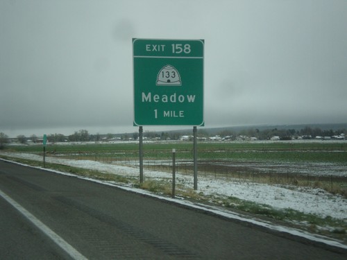
I-15 North - Exit 158
I-15 north approaching Exit 158 - UT-133/Meadow.
Scipio
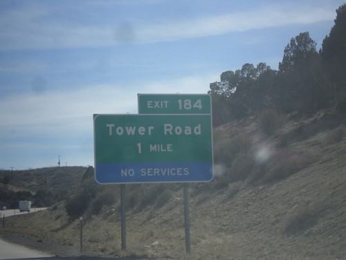
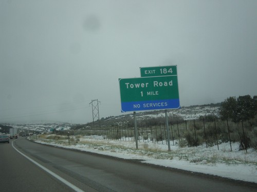
I-15 South - Exit 184
I-15 South approaching Exit 184 - Tower Road.
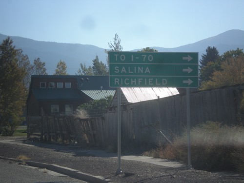
I-15 North - Use Exit 188 For I-70
I-15 North approaching Exit 188. Use Exit 188 For I-70 to Salina and Richfield, via US-50.
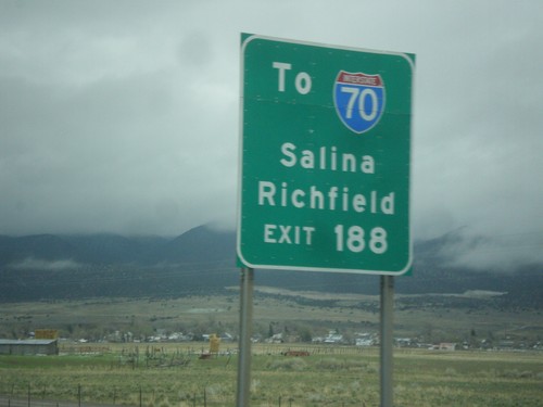
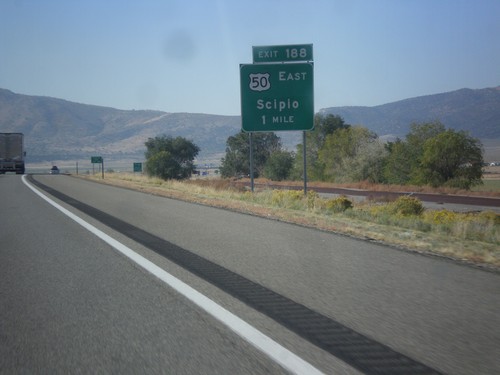
I-15 North - Exit 188
I-15 north at Exit 188 - US-50 East/Scipio. US-50 leaves I-15 north here.
I-15 North - Exit 184
I-15 north at Exit 184 - Tower Road.
US-50 East in Scipio
US-50 east in Scipio. To continue on US-50 traffic turns right on State St. Turn right for I-70, Salina, and Richfield. US-50 provides shorter access for southbound I-15 traffic to I-70, then continuing on I-15 to I-70 jct.
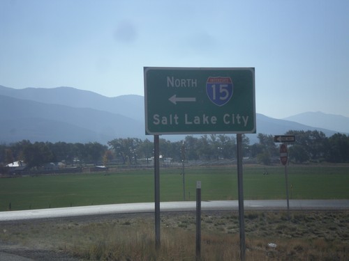
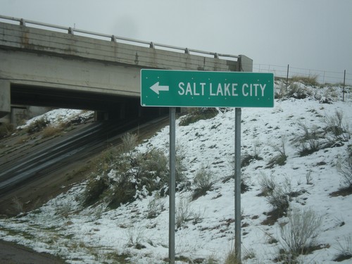
US-50 East at I-15 North
US-50 east at I-15 north to Salt Lake City. US-50 joins I-15 south to Holden.
US-50 East at I-15 North
US-50 east at I-15 north. Notice the word UTAH in the I-15 shield. On this trip I noticed the word UTAH in signs in the Provo area, in addition to this shield. Before this I have never seen a Utah interstate shield containing the state name.
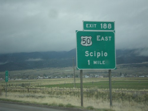
I-15 South Approaching Exit 188
I-15 south approaching Exit 188 - US-50 East/Scipio. US-50 joins I-15 south from Scipio to Holden.
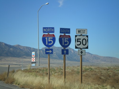
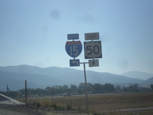
US-50 West at I-15
US-50 west at I-15 in Scipio. Turn right for I-15 north; straight head over freeway for I-15 south. US-50 west joins I-15 south to Holden.
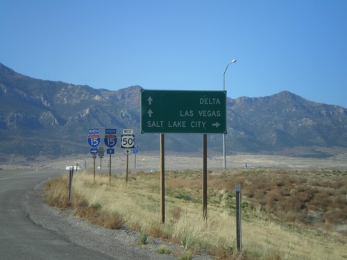
US-50 West at I-15
US-50 west approaching I-15. Use I-15 north for Salt Lake City. Use I-15 south for Las Vegas (Nevada) and Delta (via US-50). US-50 joins I-15 south to Holden.
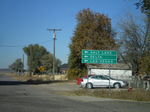
US-50 West in Scipio
US-50 west (State St.) at W 400 North. US-50 makes a left turn here. Use US-50 west for Delta, Salt Lake, and Las Vegas.
US-50/To I-15 - Scipio
US-50 west (State St.) approaching W 400 North. US-50 makes a left turn here. Use US-50 west for I-15.
No Place Associated
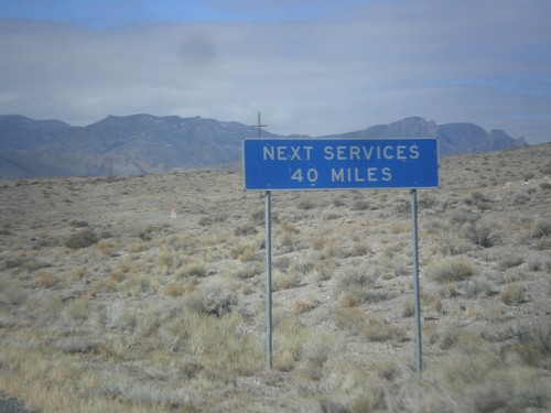
US-6/US-50 West - Next Services 40 Miles
US-6/US-50 West - Next Services 40 Miles in Millard County. The next services are at the Border Inn at the Utah-Nevada state line.