Summit County, Utah
Localities: Coalville | Croydon | Echo | Francis | Henefer | Kamas | Park City | Silver Summit | Snyderville | Summit Park | Wahsatch | Wanship
Coalville
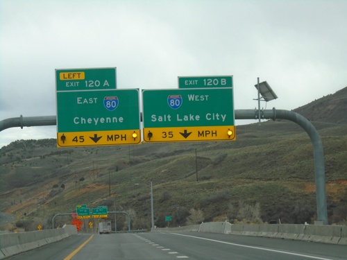
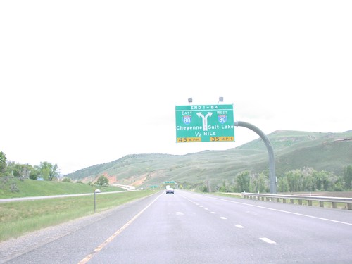
End I-84 East at I-80
End I-84 East at I-80. Exit 120A - I-80 East/Cheyenne (Wyoming); Exit 120B - I-80 West/Salt Lake City.
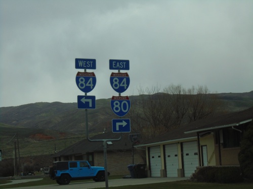
UT-65 North at UT-86 - To I-84/I-80
UT-65 North at UT-86 East (Main St.). Turn left for UT-86 West to I-84 West. Turn right to continue north on UT-65 for I-84 East and I-80.
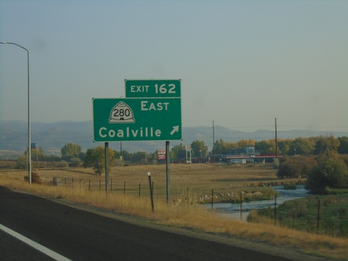
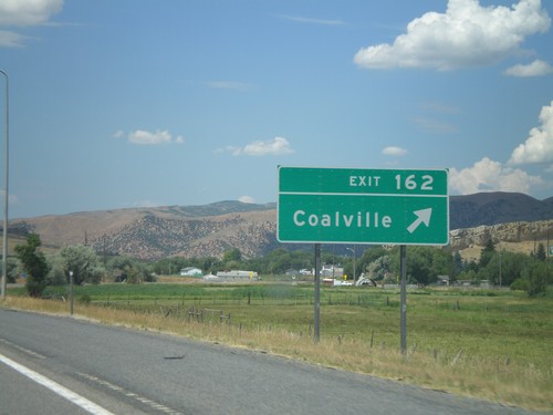
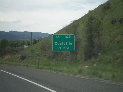
I-80 West - Exit 162
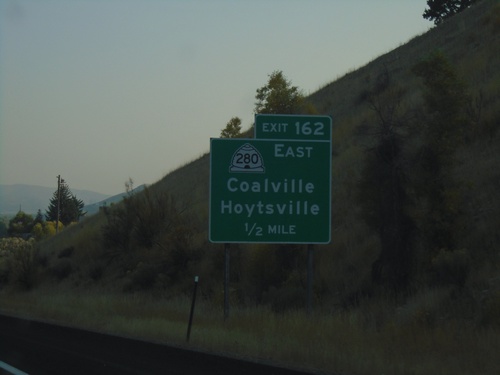
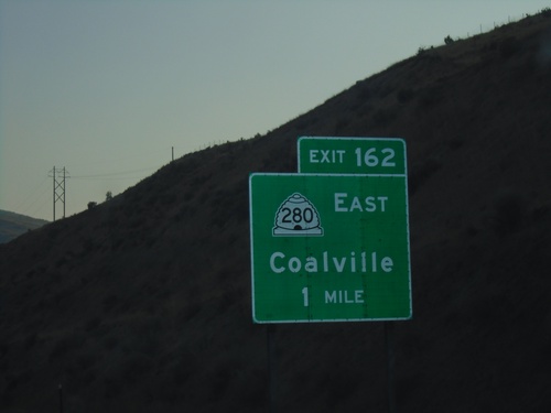
I-80 west at Exit 162 - UT-280 East/Coalville. The Weber River is in the background. Coalville is the county seat of Summit County.
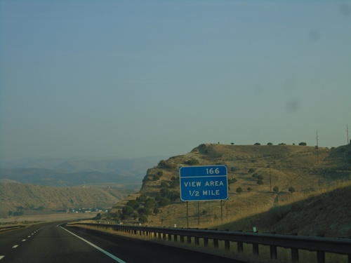
I-80 West Approaching View Area
I-80 West approaching View Area (166). Notice the exit tab area of the sign only has a number, not an EXIT text.
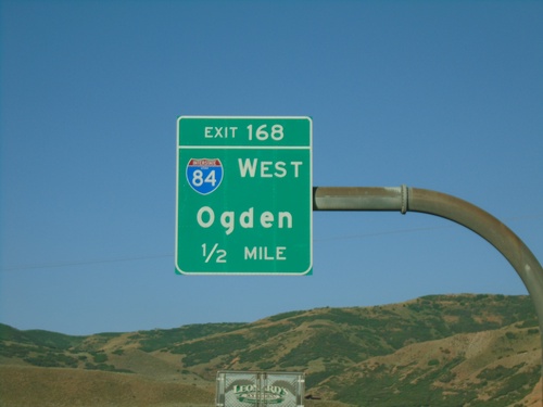
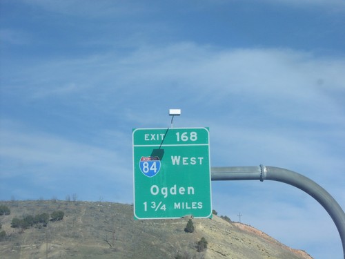
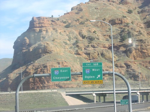
I-80 West - Exit 168
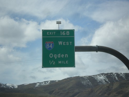
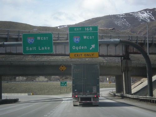
I-80 west approaching Exit 168 - I-84 West/Ogden. This is the eastern end of I-84.
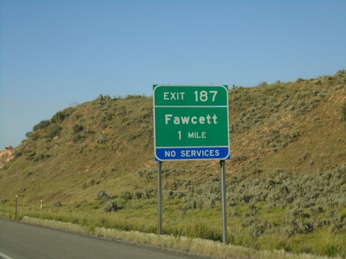
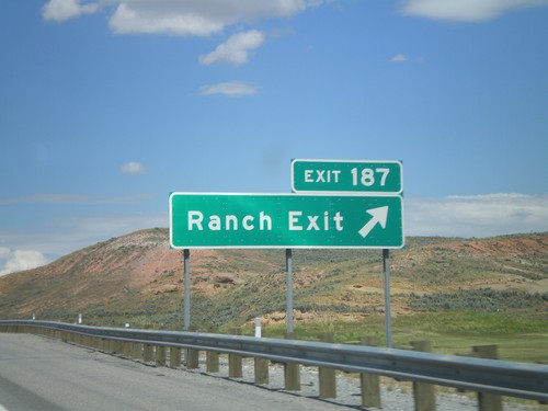
I-80 West - Exit 187
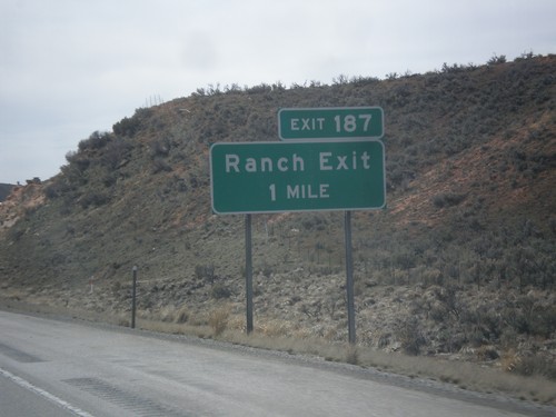
I-80 west approaching Exit 187 - Fawcett. This exit was renamed from Ranch Exit in the last few years.
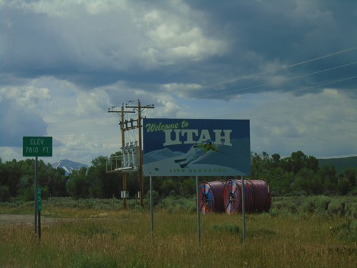
UT-150 South - Welcome To Utah
Welcome To Utah on UT-150 South. Elevation 7810 Feet. The mile marker of 23.56 is from Wyoming WY-150.
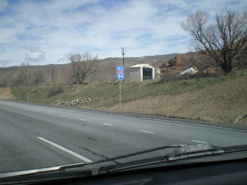
I-84 West - Utah
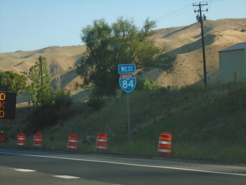
First shield on I-84 west. The picture is fuzzy, but the shield contains the word UTAH.
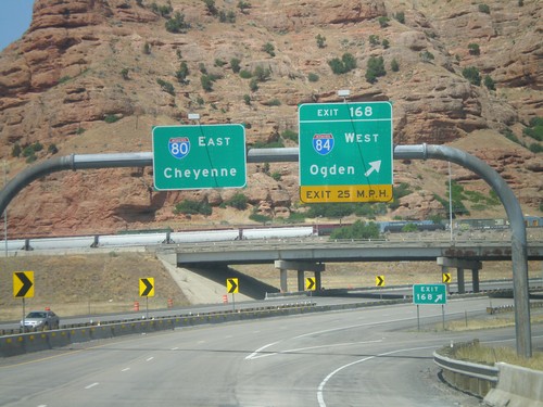
I-80 East - Exit 168
I-80 East at Exit 168 - I-84 West/Ogden. I-80 continues east towards Cheyenne. This is the eastern end of I-84.
Croydon
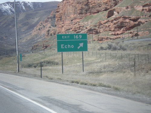
Echo
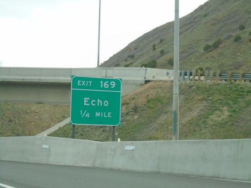
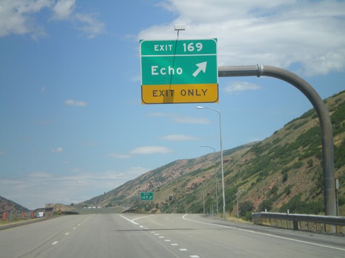
Ramp Between I-84 East and I-80 East Approaching Exit 169
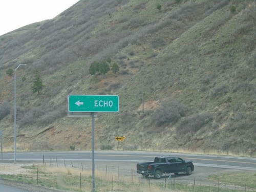
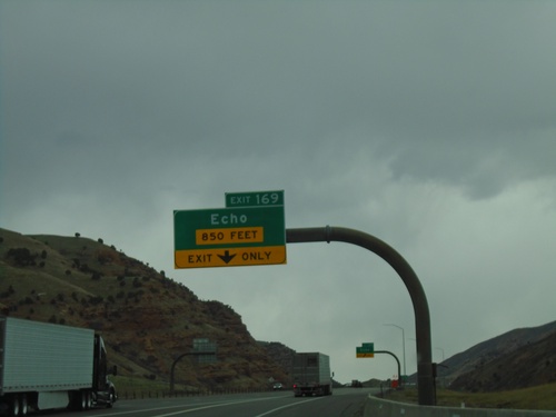
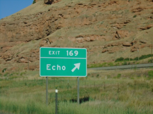
Ramp between I-84 East and I-80 East approaching Exit 169 - Echo.
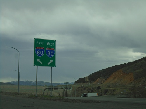
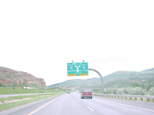
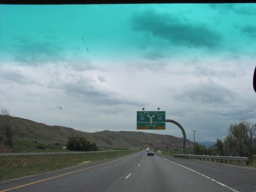
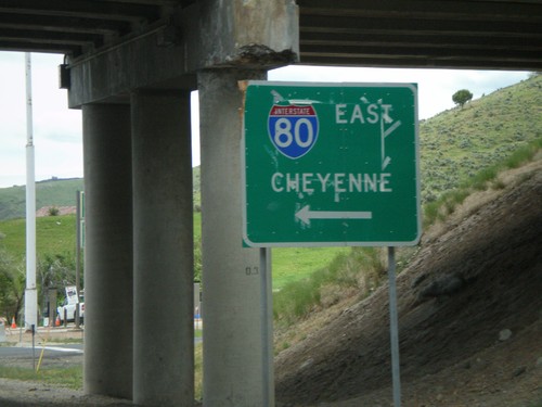
End I-84 East at I-80
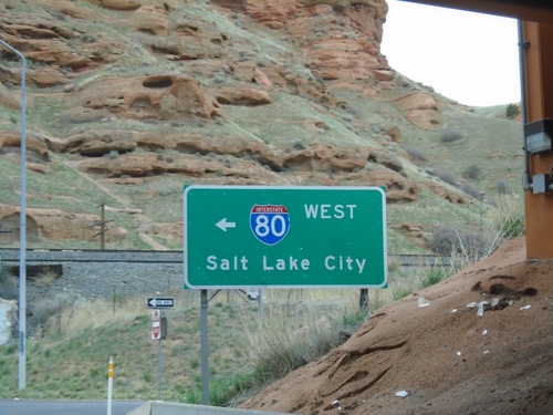
End I-84 East at I-80 in Summit County. Use right lane for I-80 West; left lane for I-80 East.
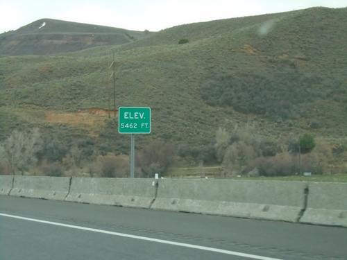
I-84 East - Elevation 5462 Feet
Elevation 5462 approaching the eastern end of I-84. There is also an elevation sign at the Idaho-Utah state line on I-84.
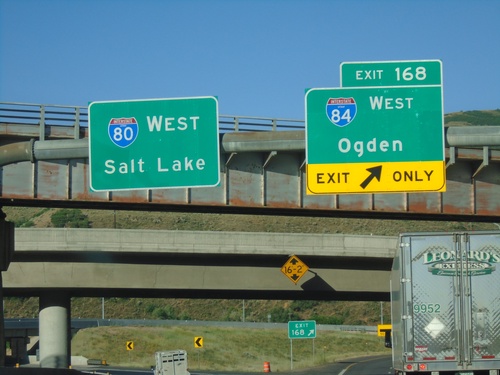
I-80 West at I-84
I-80 west at I-84 junction. Use Exit 168 for I-84 West/Ogden; continue west on I-80 for Salt Lake.
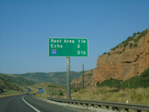
I-80 West - Distance Marker
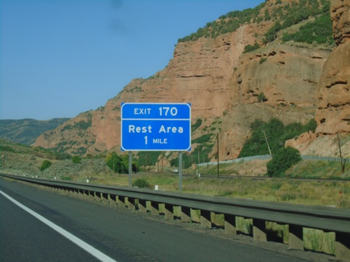
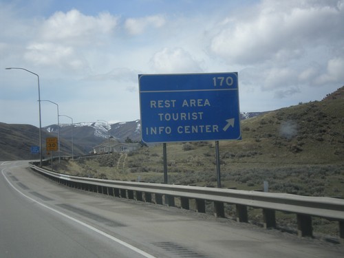
Distance marker on I-80 west for next three exits - Rest Area, Echo, and I-84.
Francis
Henefer
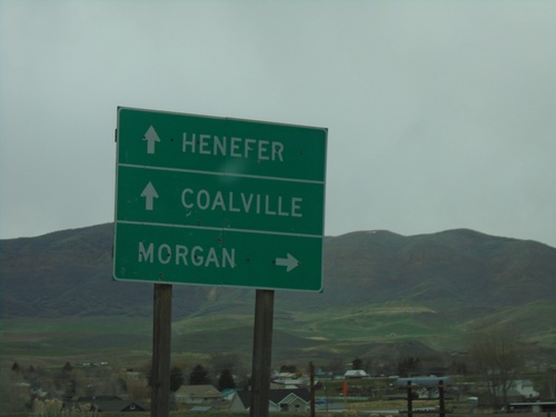
Echo Road at I-84/UT-65
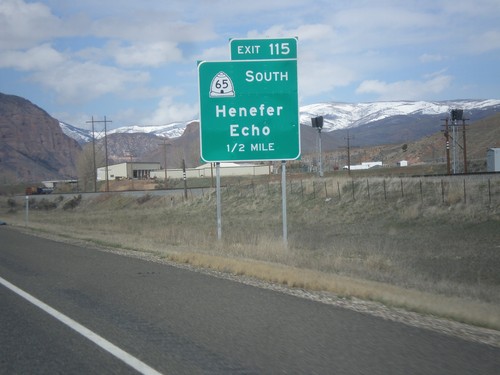
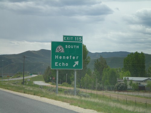
Echo Road at I-84/UT-65 (Exit 115) in Henefer. Use I-84 west for Morgan; I-84 east for Coalville. Continue on roadway for UT-65/Henefer.
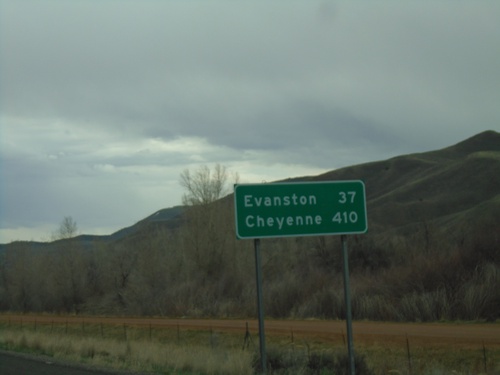
I-84 East - Distance Marker
Last distance marker on I-84 eastbound. Distance to Evanston (Wyoming) and Cheyenne (Wyoming). Both destinations via I-80 eastbound.
Kamas
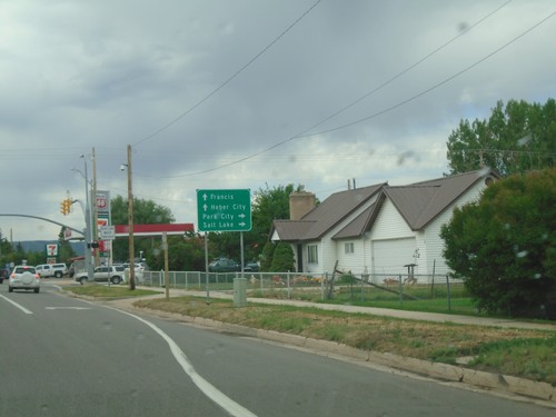
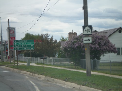
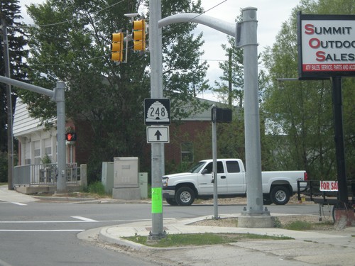
UT-32 East Approaching UT-248 South
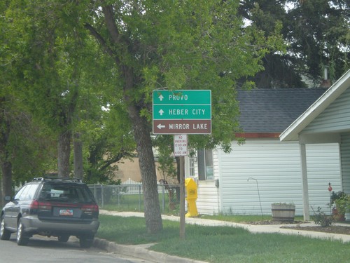
UT-32 south approaching UT-248. Use UT-248 for Park City and Salt Lake. Continue south on UT-32 for Heber City and Francis.
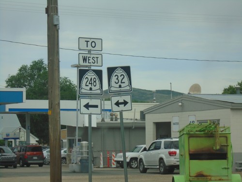
End UT-150 West at UT-32/To UT-248
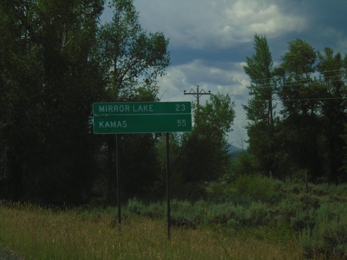
End UT-150 West at UT-32/To UT-248 in Kamas. Turn left for UT-32 South to UT-248.
Park City
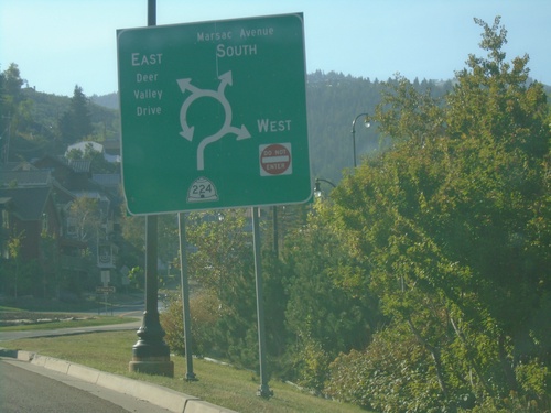
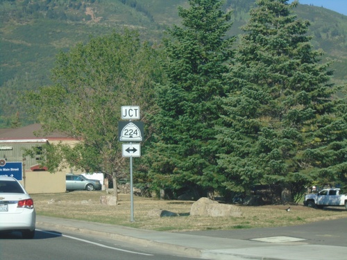
UT-224 at Deer Valley Drive/Marsac Ave. Roundabout
UT-224 at Deer Valley Drive/Marsac Ave. roundabout in Park City.
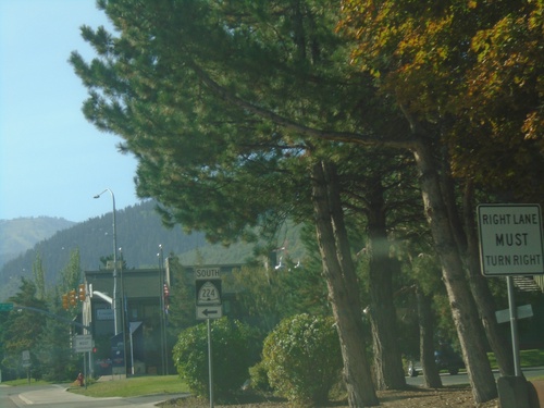
UT-224 South - Park City
UT-224 South - Park Ave. at Deer Valley Drive in Park City. Turn left on Deer Valley Drive to continue south on UT-224.
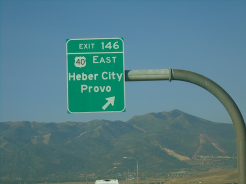
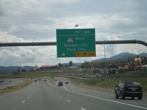
I-80 West - Exit 145
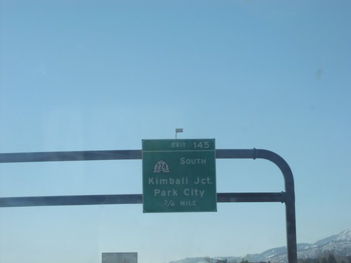
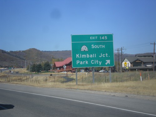
I-80 west at Exit 145 - US-40 East/Heber/Provo. This is the western end of US-40.
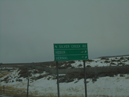
I-80 West - Exit 146 Offramp
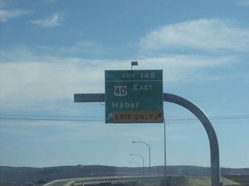
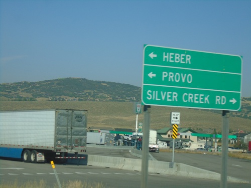
I-80 West - Exit 146 offramp. Merge left for Silver Creek Road. Merge right for US-40 East/US-189 South/Heber/Vernal.
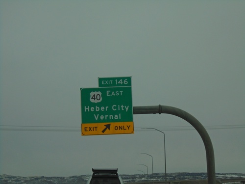
I-80 East - Exit 146
I-80 East at Exit 146 - US-40 East/Heber City/Vernal. This is the western end of US-40.
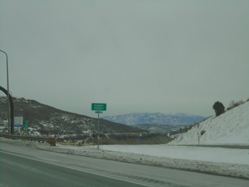
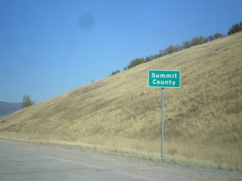
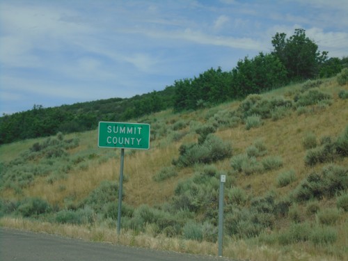
I-80 East - Summit County
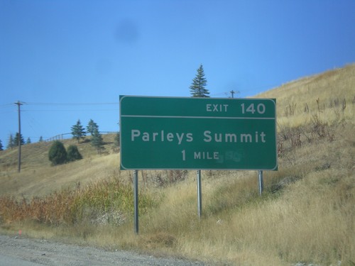
Entering Summit County on I-80 East at Parleys Summit - 7120 Feet. This is the highest point along I-80 in the state of Utah.
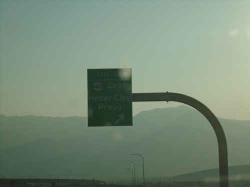
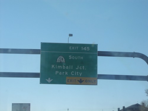
I-80 West - Exit 145
I-80 west at Exit 145 - US-40 East/Heber/Provo. This is the western end of US-40.
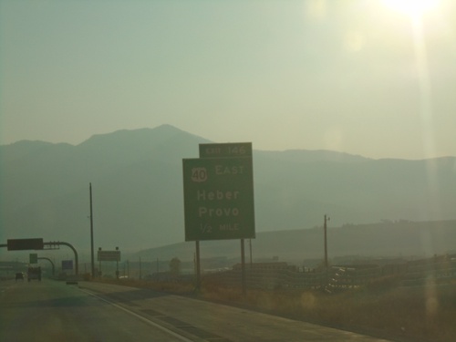
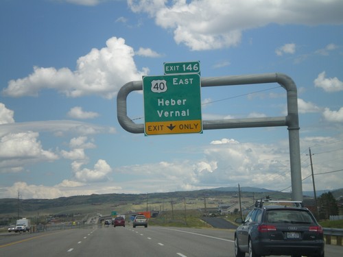
I-80 West - Exit 146
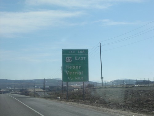
I-80 west approaching Exit 146 - US-40 East/Heber/Provo. The sky is hazy from all the western fires when this was taken. This is the western end of US-40.
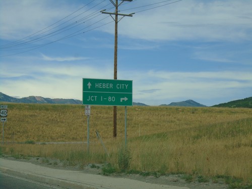
UT-248 West at US-40
UT-248 West at US-40 in Summit County. Use US-40 west for Jct. I-80; US-40 east for Heber City.
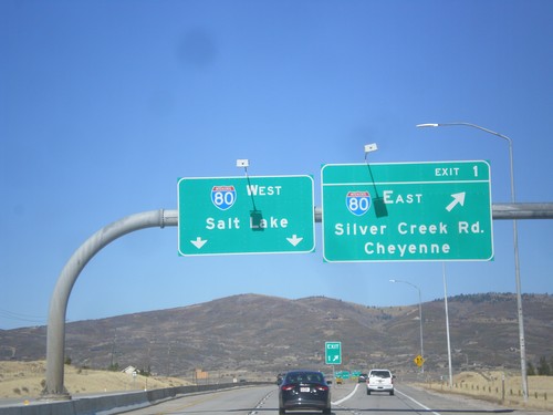
End US-40 at I-80
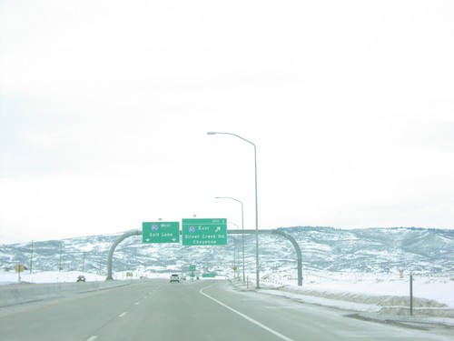
End US-40 at I-80. Merge right for US-40 (Exit 1) - I-80 East/Cheyenne (WY)/Silver Creek Road. Use left lanes for I-80 West/Salt Lake. This is the western end of US-40.
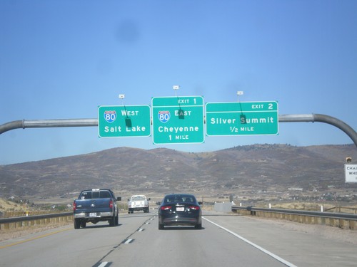
US-40 West - Exits 2 and 1
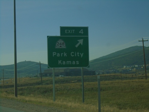
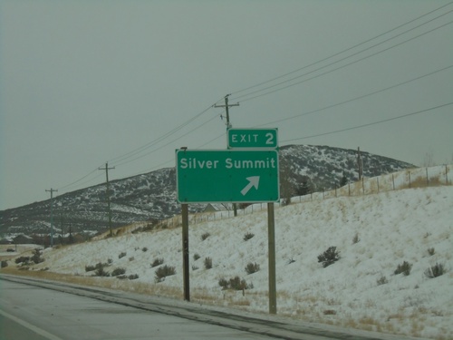
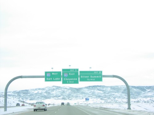
US-40 West approaching Exit 2 - Silver Summit. Approaching Exit 2 - I-80/Cheyenne (Wyoming)/Salt Lake.
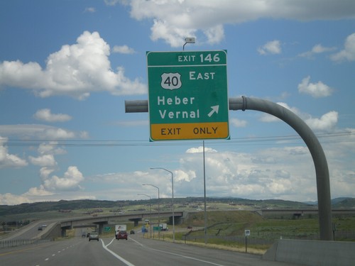
I-80 East - Exit 146
I-80 East at Exit 146 - US-40 East/Heber/Vernal. This is the western end of US-40.
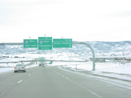
US-40 West at Exit 2. Approaching I-80.
US-40 west at Exit 2 - Sliver Summit. Approaching I-80. Use I-80 east to Cheyenne (Wyoming); I-80 west to Salt Lake. US-40 west ends at I-80.
Silver Summit
Snyderville
Summit Park
Wahsatch
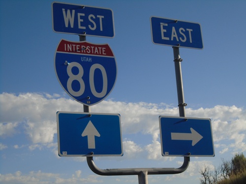
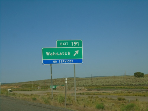
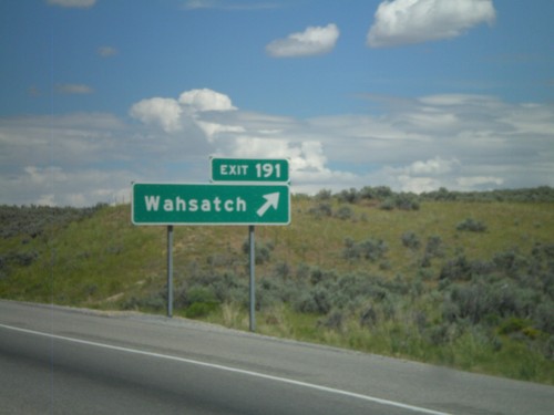
Access Road at I-80 (Exit 191)
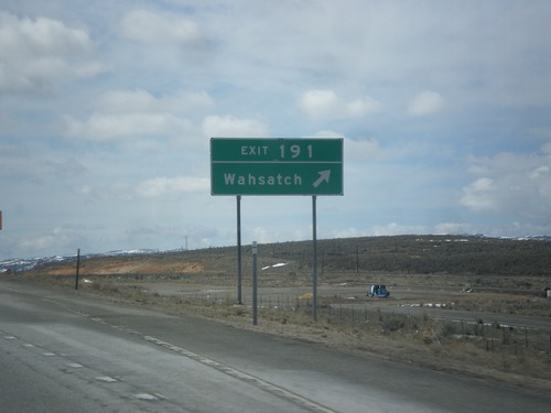
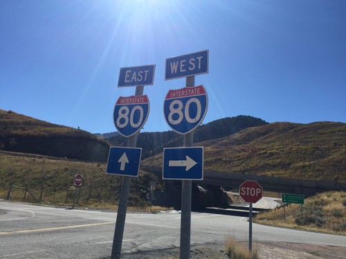
Access Road at I-80 (Exit 191 - Wahsatch). The I-80 east shield is missing.
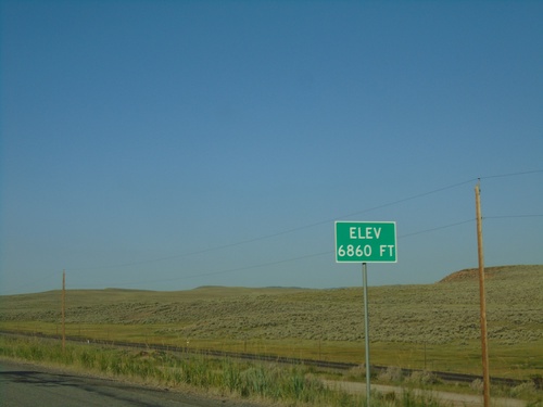
I-80 West - Elevation 6860 Feet
I-80 west Elevation 6860 Feet. Many highways entering Utah have the elevation listed at or near the state line.
