Javascript Is Required To Use This Page

Washington County, Utah

Localities: Enterprise | Hurricane | La Verkin | Leeds | New Harmony | Pintura | St. George | Toquerville | Virgin | Washington

Enterprise
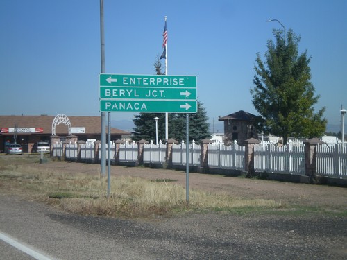
UT-18 North at UT-219

UT-18 North at UT-219

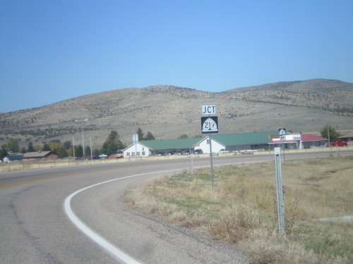
UT-18 north at UT-219. Turn left for UT-219; right to continue on UT-18.

UT-18 North Approaching UT-219

UT-18 North Approaching UT-219

UT-18 north approaching UT-219. Turn left for UT-219 west to Enterprise. Turn right for UT-18 north for Beryl Jct. and Panaca (Nevada).

UT-18 North Approaching UT-219

UT-18 North Approaching UT-219

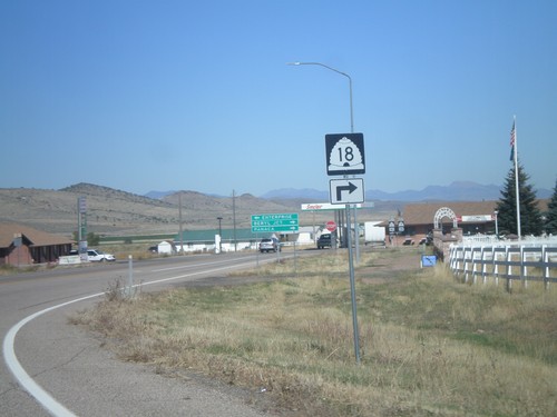
UT-18 North Approaching UT-219. Turn right to continue north on UT-18.

UT-18 North Approaching UT-219

UT-18 North Approaching UT-219

UT-18 North Approaching UT-219.

Hurricane

End UT-59 West at UT-9

End UT-59 West at UT-9

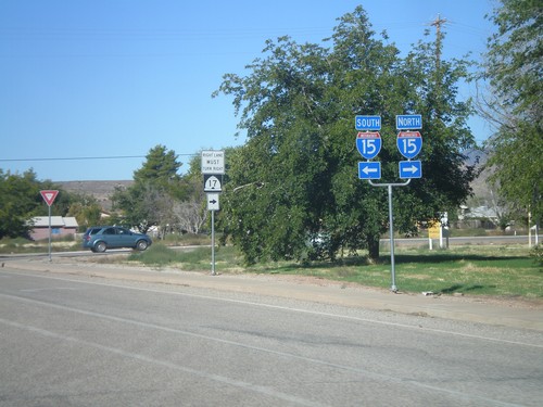
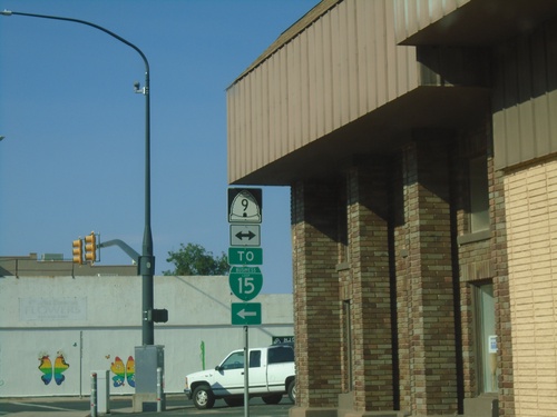
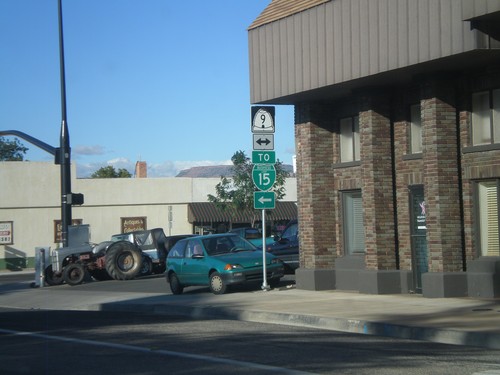
End UT-59 west at UT-9. Turn left for I-15 (incorrectly signed as BL-15).

UT-59 West Approaching UT-9

UT-59 West Approaching UT-9

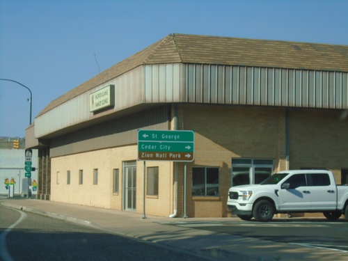
UT-59 West approaching UT-9 in Hurricane. Use UT-9 west for St. George; UT-9 east for Cedar City and Zion National Park.
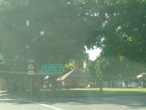
UT-59 West - Hurricane

UT-59 West - Hurricane

UT-59 west in Hurricane (E 100 S at Main St.). Turn right to continue west on UT-59 for St. George and Cedar City.
UT-59 West - Welcome To Utah

UT-59 West - Welcome To Utah

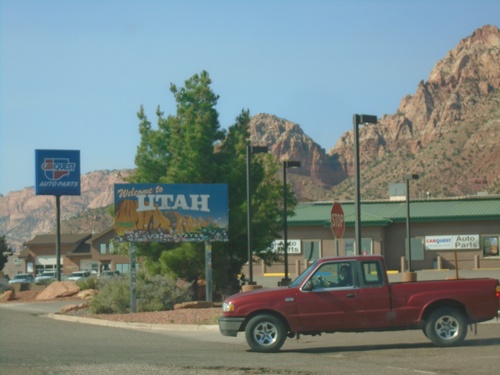
Welcome To Utah on UT-59 West in Hildale.

UT-7 West - Exit 15

UT-7 West - Exit 15

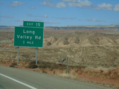
UT-7 west approaching Exit 15 - Long Valley Road

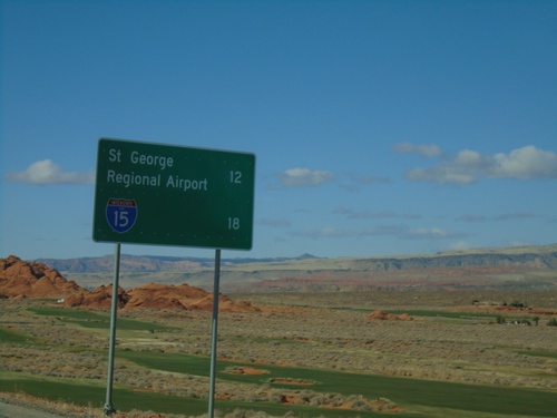
UT-7 West - Distance Marker

UT-7 West - Distance Marker

Distance marker on UT-7 west. Distance to St. George Regional Airport and I-15.
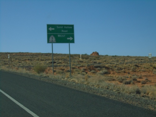
Begin UT-7 West

Begin UT-7 West

Begin UT-7 West. This is the beginning of the Southern Parkway.

Sand Hollow Road at UT-7 West

Sand Hollow Road at UT-7 West

Sand Hollow Road at UT-7 west. Turn right for UT-7 west; left to continue on Sand Hollow Road.
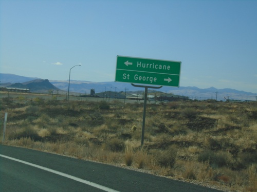
Sand Hollow Road at UT-7

Sand Hollow Road at UT-7

Sand Hollow Road at UT-7. Turn right for UT-7.

End UT-318 South at UT-9

End UT-318 South at UT-9

End UT-318 South at UT-9. Turn left for UT-9 east to Hurricane; right for UT-9 west to St. George (via I-15).
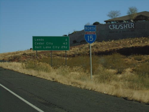
UT-318 South - Washington County

UT-318 South - Washington County

UT-318 South in Washington County

I-15 North - Exit 22

I-15 North - Exit 22

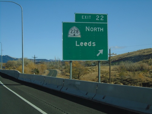
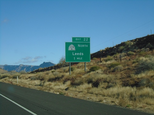
I-15 north at Exit 22 - UT-228 North/Leeds

I-15 North - Distance Marker

I-15 North - Distance Marker

Distance marker and I-15 shield on I-15 North. Distance to Leeds, Cedar City, and Salt Lake City.
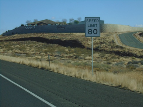
I-15 North - Speed Limit 80

I-15 North - Speed Limit 80

Speed Limit 80 MPH on I-15 north. This is the starting of the 80 MPH zone northbound in Utah.
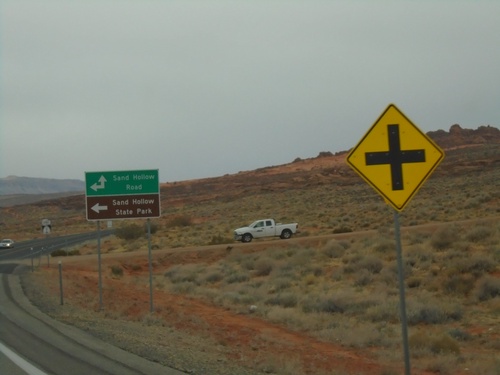
End UT-7 at Sand Hollow Road

End UT-7 at Sand Hollow Road

End UT-7 (Southern Parkway) at Sand Hollow Road.

End UT-7 at Sand Hollow Road

End UT-7 at Sand Hollow Road

End UT-7 (Southern Parkway) at Sand Hollow Road. Turn left on Sand Hollow Road for Sand Hollow State Park.
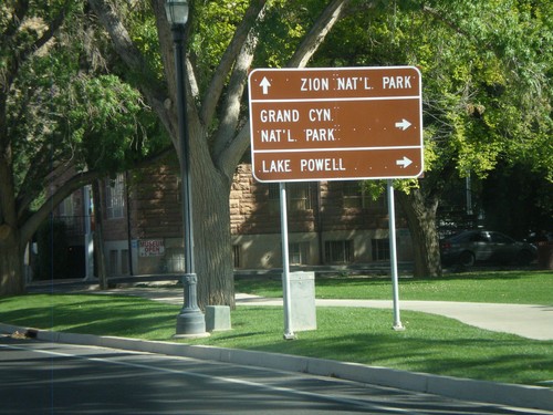
UT-9 West at UT-318

UT-9 West at UT-318

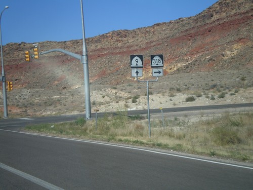
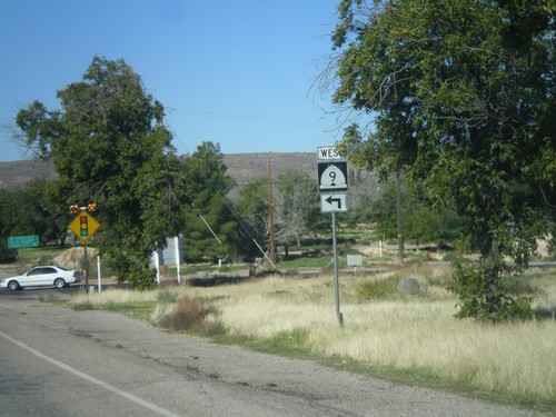
UT-9 west at UT-318 in Hurricane.

UT-9 West at UT-318

UT-9 West at UT-318

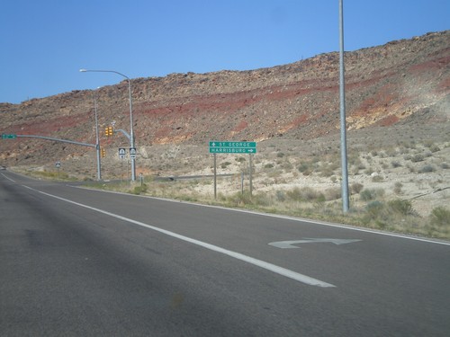
UT-9 west at UT-318 north to Harrisburg. Continue west on UT-9 to St. George.

UT-9 West at UT-59

UT-9 West at UT-59

UT-9 West at UT-59 in Hurricane.

UT-9 East at UT-59

UT-9 East at UT-59

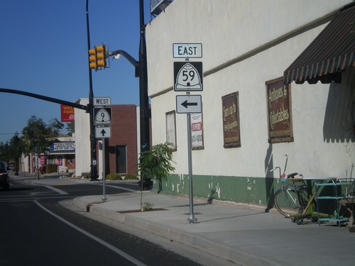
UT-9 East at UT-59 in Hurricane.

UT-9 East at UT-59

UT-9 East at UT-59

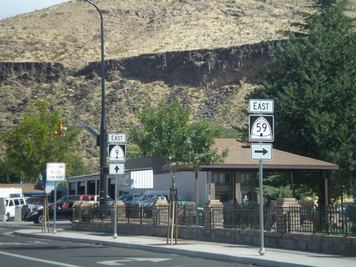
UT-9 east at UT-59. Use UT-59 east for Grand Canyon National Park and Lake Powell. Continue east on UT-9 for Zion National Park.
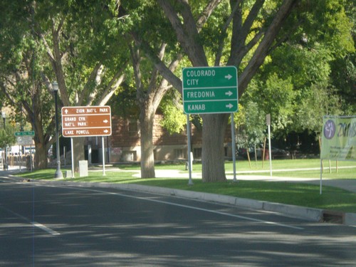
UT-9 East Approaching UT-59

UT-9 East Approaching UT-59

UT-9 east approaching UT-59. Use UT-59 east for Colorado City (AZ), Fredonia (AZ), and Kanab.

Distance Marker on UT-9 East

Distance Marker on UT-9 East

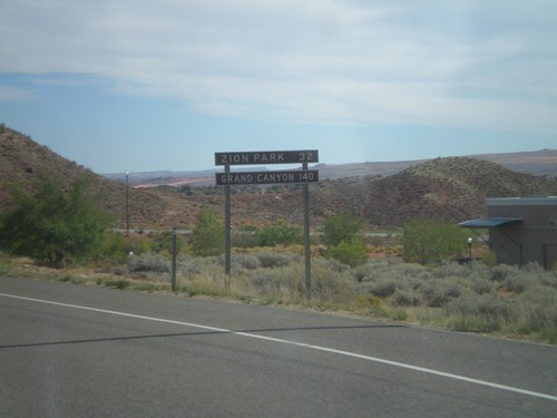
Distance Marker on UT-9 east. Distance to Zion (National) Park and Grand Canyon (National Park).

End UT-59 West at UT-9

End UT-59 West at UT-9

End UT-59 west at UT-9. Turn left for I-15 (incorrectly signed as BL-15).

La Verkin

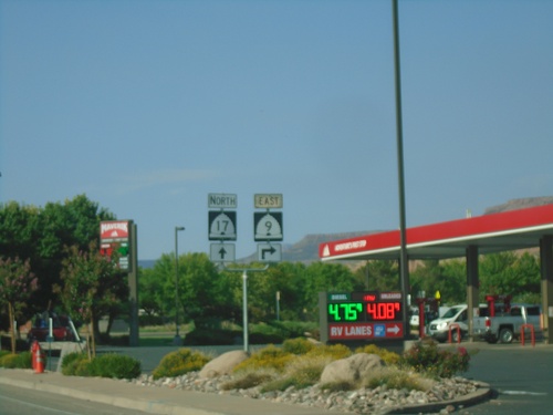
UT-9 East Approaching UT-17

UT-9 East Approaching UT-17

UT-9 East approaching UT-17 in La Verkin.

UT-9 West at UT-17

UT-9 West at UT-17

UT-9 West at UT-17. For I-15 north turn right for UT-17; for I-15 south turn left for UT-9.
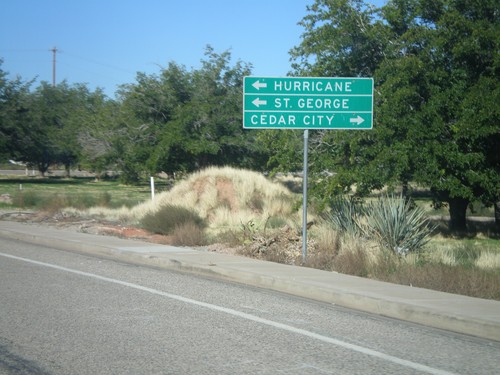
UT-9 West at UT-17

UT-9 West at UT-17

UT-9 west at UT-17 in La Verkin. Turn right on UT-17 for Cedar City. Turn left on UT-9 west for Hurricane and St George.
UT-9 West Approaching UT-17

UT-9 West Approaching UT-17

UT-9 west approaching UT-17 in La Verkin.

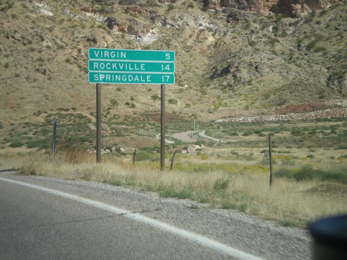
UT-9 East - Distance Marker

UT-9 East - Distance Marker

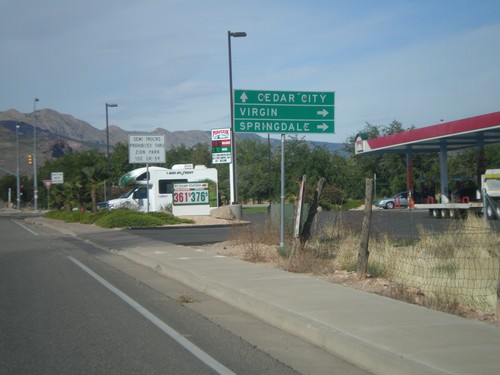
Distance marker on UT-9 east for Virgin, Rockville, and Springdale. Springdale is at the west entrance to Zion National Park.
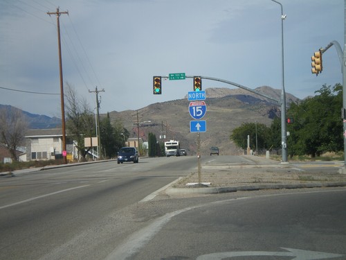
Use UT-17 North for I-15

Use UT-17 North for I-15

UT-9 east at UT-17. Turn right to continue east on UT-9. Continue ahead on for UT-17 and for I-15 north.

UT-9 East Approaching UT-17

UT-9 East Approaching UT-17

UT-9 East approaching UT-17. Use UT-9 east for Virgin and Springdale; use UT-17 north for Cedar City.

UT-9 East Approaching UT-17

UT-9 East Approaching UT-17

UT-9 East approaching UT-17 in La Verkin.

UT-9 East Approaching UT-17

UT-9 East Approaching UT-17

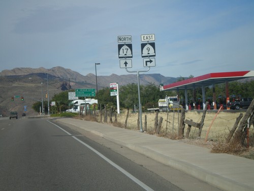
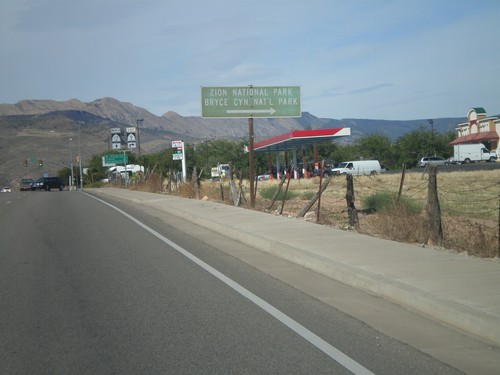
UT-9 east approaching UT-17. Use UT-9 east (right turn) for Bryce Canyon and Zion National Parks.

Leeds

I-15 North Exit 22 at UT-228

I-15 North Exit 22 at UT-228

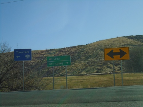
I-15 North Exit 22 at UT-228 in Leeds. Turn left for UT-228 north to Leeds; turn right for county road south to Harrisburg.

I-15 North - Exit 22

I-15 North - Exit 22

I-15 north approaching Exit 22 - UT-228 North/Leeds.

I-15 South - Exit 23

I-15 South - Exit 23

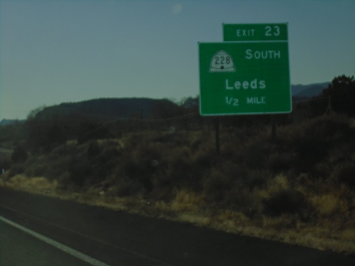
I-15 south approaching Exit 23 - UT-228 South/Leeds

New Harmony

I-15 North - Exit 42

I-15 North - Exit 42

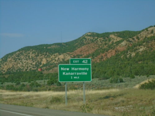
I-15 north approaching Exit 42 - New Harmony/Kanarraville.

I-15 North - Exit 40

I-15 North - Exit 40

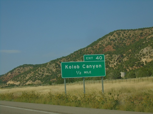
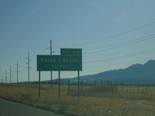
I-15 north approaching Exit 40 - Kolob Canyon. Exit 40 provides access to the Kolob Canyons section of Zion National Park.

I-15 South - Exit 31

I-15 South - Exit 31

I-15 south at Exit 31 - Pintura

I-15 South - Exit 31

I-15 South - Exit 31

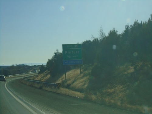
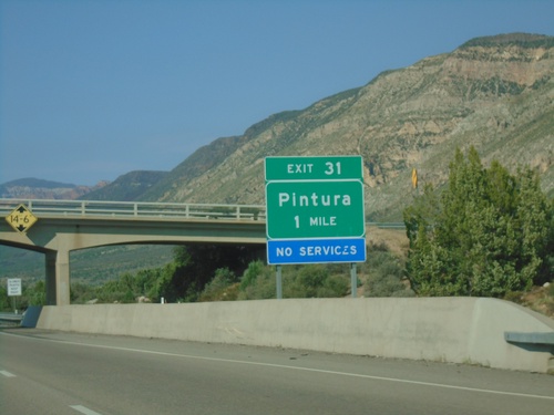
I-15 south approaching Exit 31 - Pintura

I-15 South - Exit 33

I-15 South - Exit 33

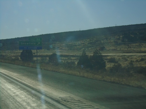
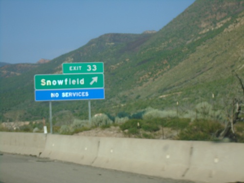
I-15 south at Exit 33 - Snowfield.

I-15 South - Exit 33

I-15 South - Exit 33

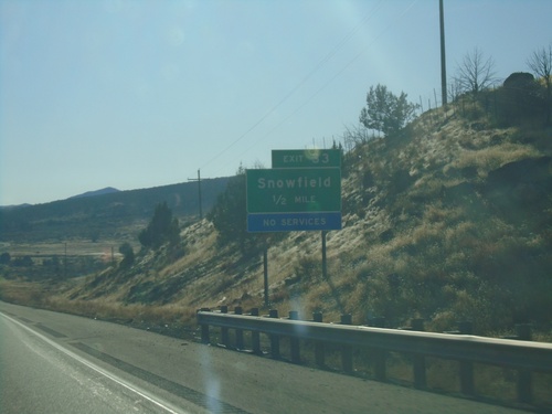
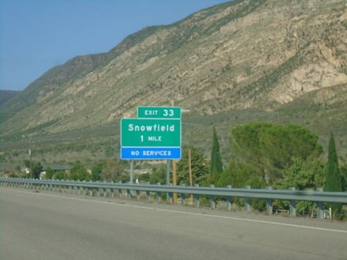
I-15 south approaching Exit 33 - Snowfield

I-15 South - Exit 36

I-15 South - Exit 36

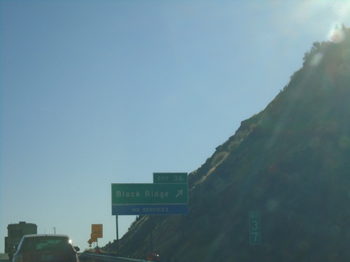
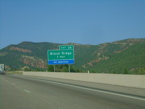
I-15 south at Exit 36 - Black Ridge

I-15 South - Exit 40

I-15 South - Exit 40

I-15 south approaching Exit 40 - Kolob Canyons. Access to the Kolob Canyons area of Zion National Park from this exit.

Pintura

I-15 North - Exit 36

I-15 North - Exit 36

I-15 north approaching Exit 36 - Black Ridge.

I-15 North - Exit 33

I-15 North - Exit 33

I-15 north at Exit 33 - Snowfield.

I-15 North - Exit 33

I-15 North - Exit 33

I-15 north approaching Exit 33 - Snowfield.

St. George

I-15 South - Port of Entry

I-15 South - Port of Entry

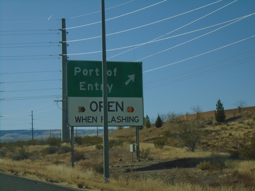
I-15 south at Port of Entry. This Port of Entry is for Arizona, although it is located across the line in Utah.
I-15 South - Exit 1

I-15 South - Exit 1

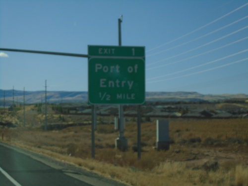
I-15 South approaching Exit 1 - Port of Entry (Arizona).

End UT-7 at I-15

End UT-7 at I-15

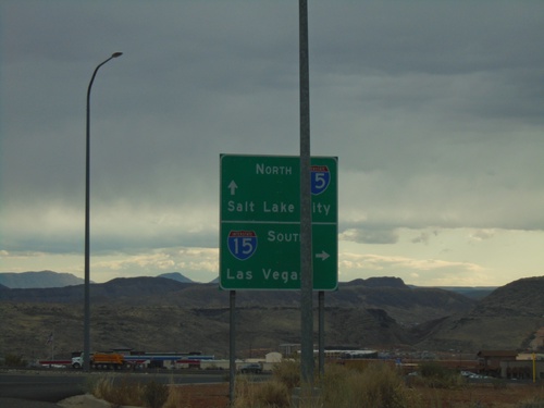
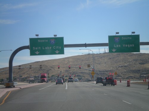
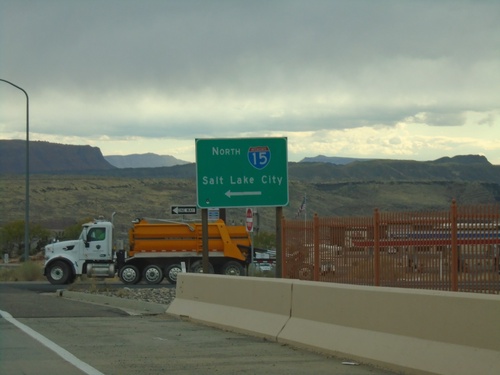
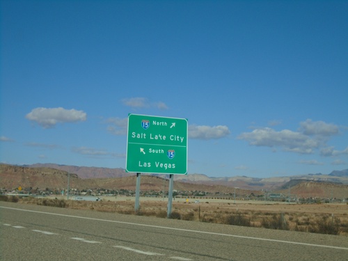
End UT-7 at I-15 (Exit 2). Turn right for I-15 north to Salt Lake City; left for I-15 south to Las Vegas (Nevada). This is the western end of the Southern Parkway.
UT-7 West - Exit 1

UT-7 West - Exit 1

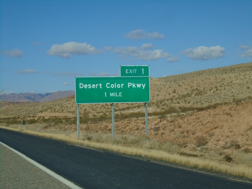
UT-7 west approaching Exit 1 - Desert Color Parkway

UT-7 West - Exit 3

UT-7 West - Exit 3

UT-7 west approaching Exit 3 - River Road

UT-7 West - Exit 6

UT-7 West - Exit 6

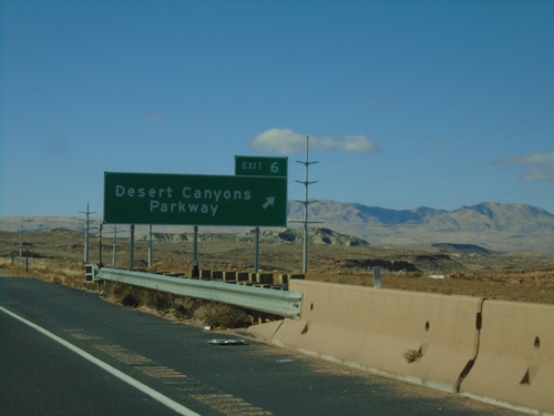
UT-7 west at Exit 6 - Desert Canyons Parkway. UT-7 becomes a 4 lane freeway after this interchange westbound.
UT-7 West - Exit 7

UT-7 West - Exit 7

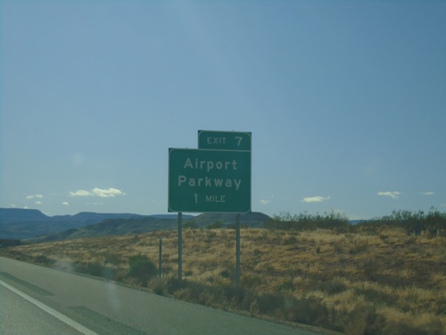
UT-7 west approaching Exit 7 - Airport Parkway

I-15 North - Exit 10

I-15 North - Exit 10

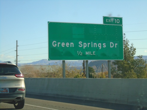
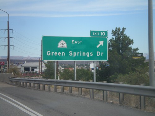
I-15 north approaching Exit 10 - Green Springs Drive

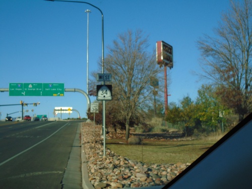
UT-34 West at I-15

UT-34 West at I-15

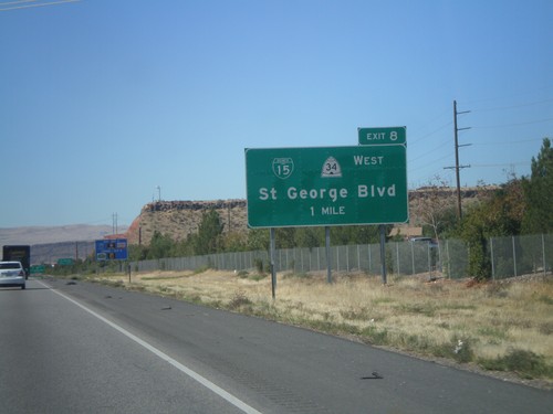
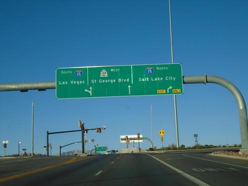
UT-34 West at I-15 (Exit 8) in St. George. Turn right for I-15 North/Salt Lake City; continue west on UT-34 for St. George Blvd. Use I-15 south for Las Vegas (NV). This is a diverging diamond interchange.
UT-34 West - St. George

UT-34 West - St. George

Begin of UT-34 West (St. George Blvd.) in St. George.

UT-34 East at I-15 (Exit 8)

UT-34 East at I-15 (Exit 8)

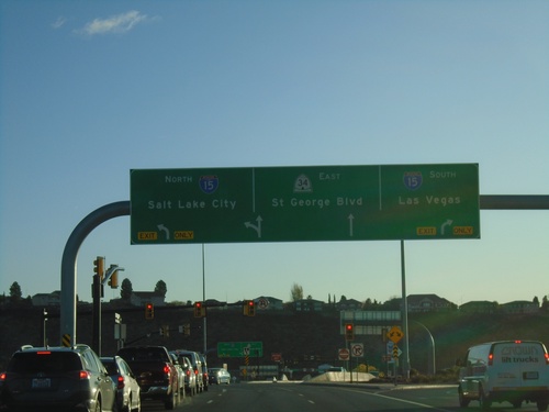
UT-34 East at I-15 (Exit 8) in St. George. Use I-15 South for Las Vegas (NV), I-15 North for Salt Lake City. Continue east on UT-34 for St. George Blvd. This intersection at I-15 and UT is a diverging diamond type of interchange.
UT-18 North at UT-8

UT-18 North at UT-8

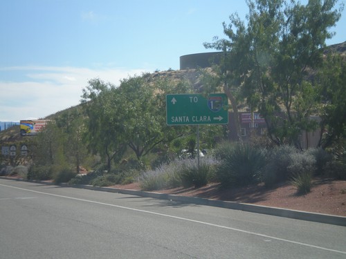
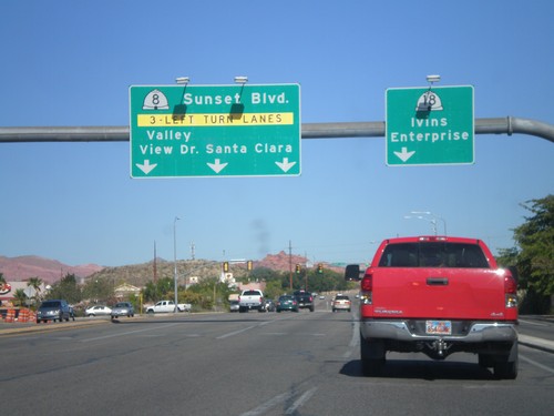
UT-18 north at UT-8 West/Valley View Drive/Sunset Blvd/Santa Clara. Continue north on UT-18 north for Ivins and Enterprise.
UT-18 North Approaching UT-8

UT-18 North Approaching UT-8

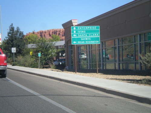
UT-18 North approaching UT-8. Use UT-8 west for Santa Clara and Shivwits Indian Reservation. Continue north on UT-18 for Ivins and Enterprise.
UT-18 North Approaching UT-8

UT-18 North Approaching UT-8

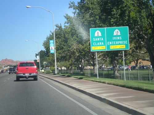
UT-18 north approaching UT-8. Use left lanes for UT-8 to Santa Clara. Use right lanes for UT-18 north to Ivins and Enterprise.
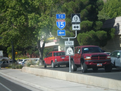
End UT-34 West at UT-18

End UT-34 West at UT-18

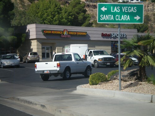
End UT-34 west at UT-18. Turn left on UT-18 to reach I-15.

End UT-34 West at UT-18

End UT-34 West at UT-18

End UT-34 West at UT-18. Use UT-18 north for Santa Clara; use UT-18 south for Las Vegas (Nevada).
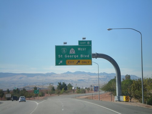
I-15 South - Exit 8

I-15 South - Exit 8

I-15 south at Exit 8 - BL-15/UT-34 West/St. George Blvd.

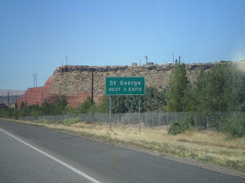
I-15 South - St. George Next 3 Exits

I-15 South - St. George Next 3 Exits

St. George Next 3 Exits on I-15 south.

I-15 South - Exit 8

I-15 South - Exit 8

I-15 south approaching Exit 8 - BL-15/UT-34 West/St. George Blvd.

I-15 North - Exit 10

I-15 North - Exit 10

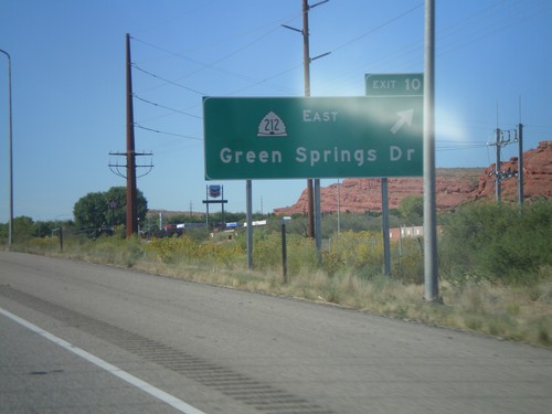
I-15 north at Exit 10 - UT-212 East/Green Springs Drive.

I-15 South - Distance Marker

I-15 South - Distance Marker

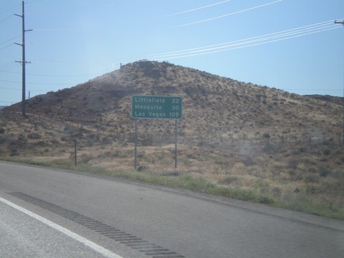
Distance marker on I-15 south. Distance to Littlefield (Arizona), Mesquite (Nevada), and Las Vegas (Nevada).
I-15 South - Exit 2

I-15 South - Exit 2

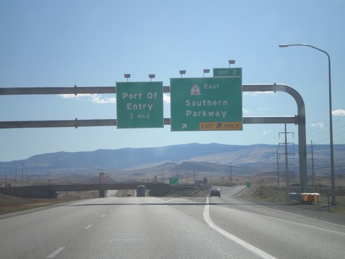
I-15 south at Exit 2 - UT-7 East/Southern Parkway. This is the south eastern end of the new St. George beltway.
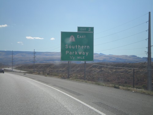
I-15 South Approaching Exit 2

I-15 South Approaching Exit 2

I-15 south approaching Exit 2 - UT-7 East/Southern Parkway. This is the last exit in Utah on I-15 south.
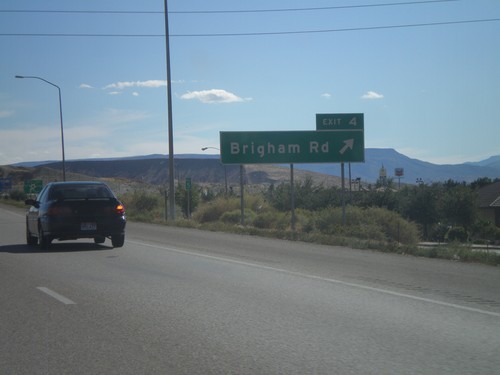
I-15 South - Exit 4

I-15 South - Exit 4

I-15 south at Exit 4 - Brigham Road. This interchange formerly was signed as Bloomington.
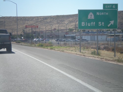
I-15 South - Exit 6

I-15 South - Exit 6

I-15 south at Exit 6 - UT-18/Bluff St. This is the southern end of the St. George business loop.
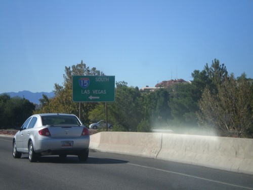
Begin UT-34/BL-15 at I-15 South

Begin UT-34/BL-15 at I-15 South

Begin UT-34/BL-15 at I-15 South to Las Vegas (Nevada). This is the northern end of the St. George Business Loop.

UT-18/BL-15 South at I-15

UT-18/BL-15 South at I-15

UT-18/BL-15 South at I-15. Use I-15 south for Las Vegas (Nevada); use I-15 north for Salt Lake City.

UT-18 South at UT-8

UT-18 South at UT-8

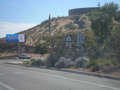
UT-18 south at UT-8 in St. George.

UT-18 South Approaching UT-8

UT-18 South Approaching UT-8

UT-18 South approaching UT-8 west to Santa Clara. Continue south on UT-18 for I-15.

Toquerville

I-15 North - Exit 31

I-15 North - Exit 31

I-15 north approaching Exit 31 - Pintura.

I-15 North - Exit 30

I-15 North - Exit 30

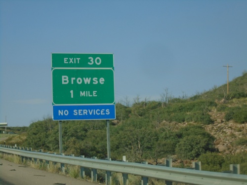
I-15 north approaching Exit 30 - Browse.

I-15 North - Distance Marker

I-15 North - Distance Marker

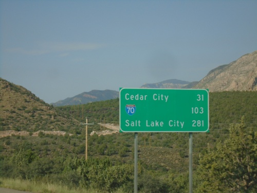
Distance marker on I-15 north. Distance to Cedar City, I-70 Junction, and Salt Lake City.

End UT-17 North at I-15

End UT-17 North at I-15

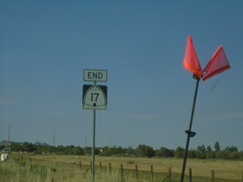
End UT-17 North at I-15 in Washington County.

End UT-17 North at I-15

End UT-17 North at I-15

End UT-17 North at I-15 in Washington County.

UT-17 North - Toquerville

UT-17 North - Toquerville

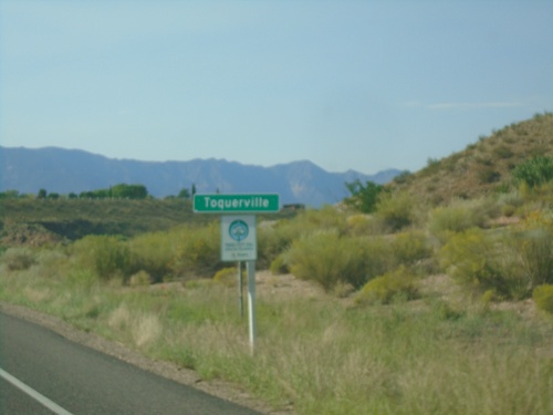
Entering Toquerville on UT-17 north.

I-15 South - Exit 27

I-15 South - Exit 27

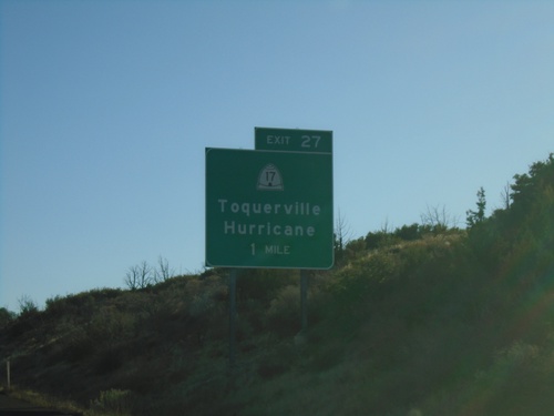
I-15 south at Exit 27 - UT-17/Toquerville/Hurricane

I-15 South - Exit 27

I-15 South - Exit 27

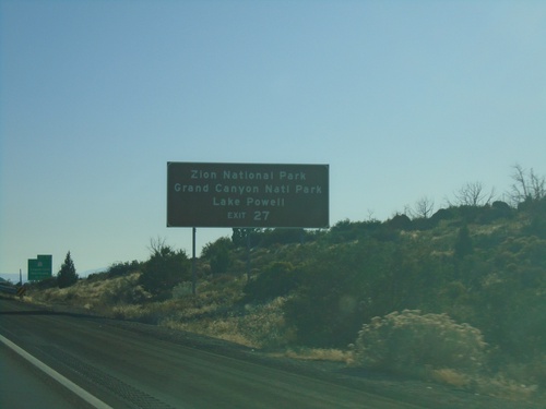
I-15 south approaching Exit 27. Use Exit 27 for Zion National Park, Grand Canyon National Park, and Lake Powell

I-15 South - Exit 27

I-15 South - Exit 27

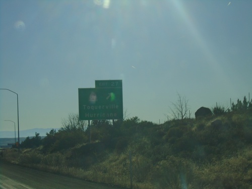
I-15 south approaching Exit 27 - UT-17/Toquerville/Hurricane

I-15 South - Exit 30

I-15 South - Exit 30

I-15 south approaching Exit 30 - Browse

I-15 South - Exit 30

I-15 South - Exit 30

I-15 South approaching Exit 30 - Browse

Virgin

UT-9 East - Kolob Reservoir Jct.

UT-9 East - Kolob Reservoir Jct.

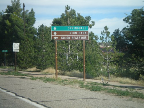
UT-9 East at turnoff to Kolob Reservoir. Continue ahead on UT-9 for Zion National Park and Springdale.

Washington

UT-7 West - Exit 10

UT-7 West - Exit 10

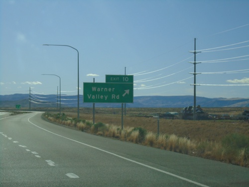
UT-7 west at Exit 10 - Warner Valley Road.

UT-7 West - Exit 10

UT-7 West - Exit 10

UT-7 west approaching Exit 10 - Warner Valley Road

Long Valley Road at UT-7 East

Long Valley Road at UT-7 East

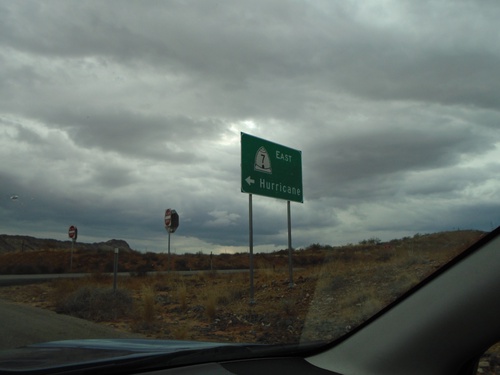
Long Valley Road (Exit 15) at UT-7 East to Hurricane.

Washington Parkway at I-15 North

Washington Parkway at I-15 North

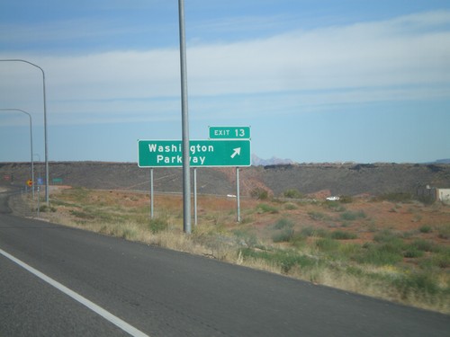
Washington Parkway at I-15 North (Exit 13) to Salt Lake City.

Washington Parkway at I-15

Washington Parkway at I-15

Washington Parkway at I-15 (Exit 13). Use I-15 south for Las Vegas (Nevada); I-15 north for Salt Lake City.
UT-9 East Approaching Coral Canyon Blvd

UT-9 East Approaching Coral Canyon Blvd

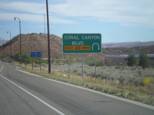
UT-9 East Approaching Coral Canyon Blvd interchange.

I-15 South - Exit 16

I-15 South - Exit 16

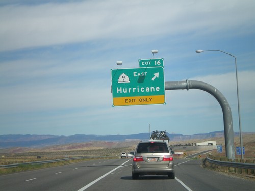
I-15 south approaching Exit 16 - UT-9 East/Hurricane

I-15 South - Exit 16

I-15 South - Exit 16

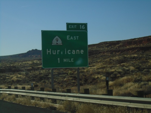
I-15 south approaching Exit 16 - UT-9 East/Hurricane.

I-15 South - Exit 10

I-15 South - Exit 10

I-15 south at Exit 10 - UT-212 East/Green Springs Drive.

End UT-9 West at I-15

End UT-9 West at I-15

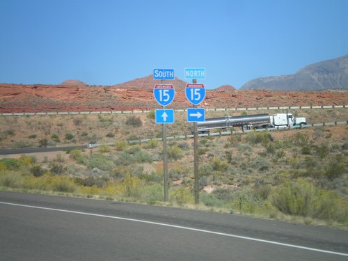
End UT-9 West at I-15 onramp. Turn left for I-15 north; continue ahead for I-15 south.
End UT-9 West at I-15

End UT-9 West at I-15

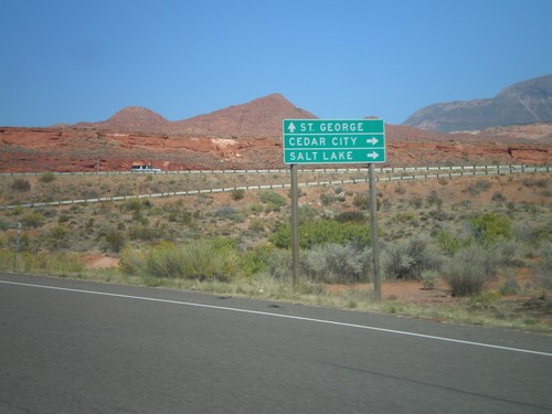
End UT-9 West at I-15. Use I-15 north for Cedar City and Salt Lake; use I-15 south for St. George.
End UT-9 West at I-15

End UT-9 West at I-15

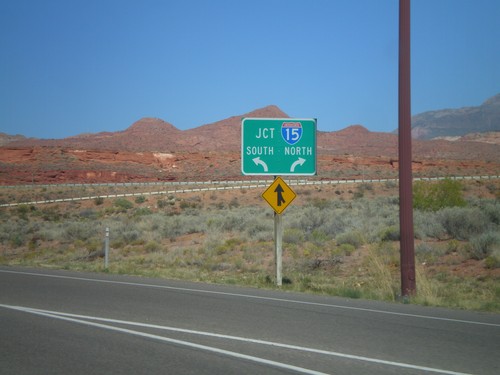
End UT-9 West at I-15. Use left lane for I-15 south; right lane for I-15 north.
UT-9 West At Coral Canyon Blvd.

UT-9 West At Coral Canyon Blvd.

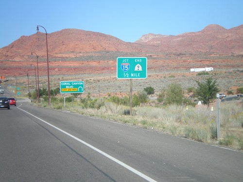
UT-9 West At Coral Canyon Blvd interchange. Approaching I-15 and the western end of UT-9.
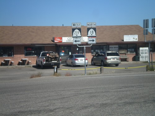
UT-9 East - Coral Canyon Blvd.
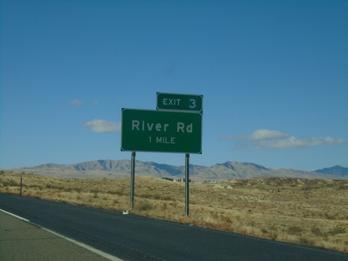
UT-9 East - Coral Canyon Blvd.

UT-9 east at Coral Canyon Blvd. interchange.

I-15 North - Exit 16

I-15 North - Exit 16

I-15 north at Exit 16 - UT-9 East/Hurricane.

I-15 North - Exit 13

I-15 North - Exit 13

I-15 north at Exit 13 - Washington Parkway.

I-15 North - Distance Marker

I-15 North - Distance Marker

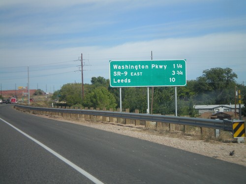
Distance marker on I-15 north to Washington Parkway, SR-9 East, and Leeds.

UT-212 (Green Springs Drive) at I-15

UT-212 (Green Springs Drive) at I-15

UT-212 at I-15 onramps (Exit 10). Turn right for I-15 north; continue under the freeway for I-15 south.