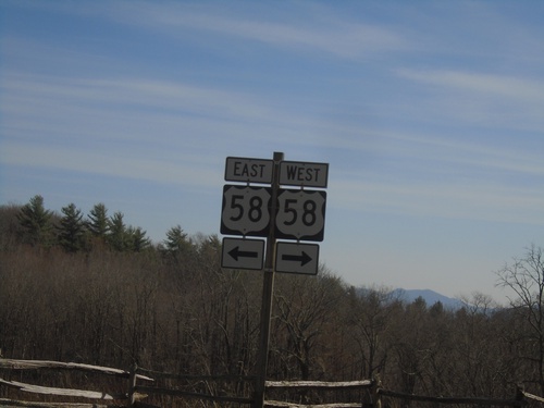
Grayson County, Virginia
Localities: Mouth of Wilson | Troutdale
Mouth of Wilson
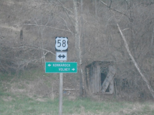
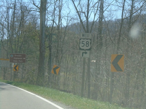
VAS-751 North (Sturgill Road) at US-58
VAS-751 North (Sturgill Road) at US-58. Use US-58 east to Volney; west to Konnarock.
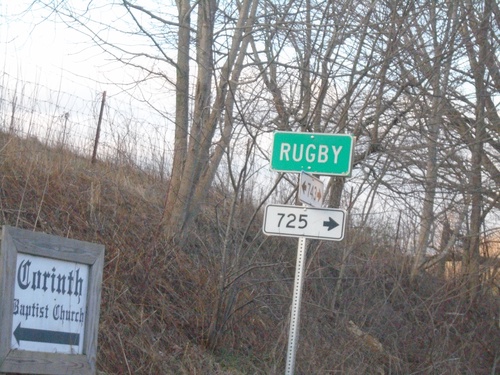
VAS-743 South at VAS-725 - Rugby
VAS-743 South at VAS-725 in Rugby. These smaller rectangular numbers also denote Virginia State Secondary Highways.
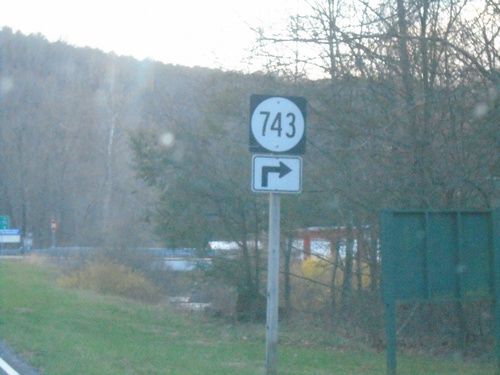
US-58 East at VAS-743
US-58 East at VAS-743 in Grayson County
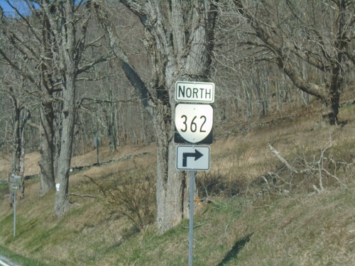
End VA-362 at US-58
End VA-362 at US-58 in Grayson County
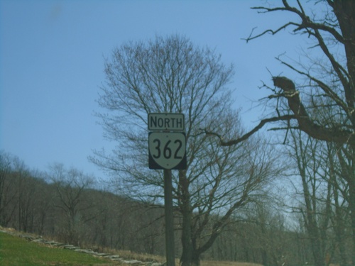
VA-362 North - Grayson Highlands State Park
VA-362 North in Grayson Highlands State Park
US-58 West at VA-362
US-58 West at VA-362 - Grayson Highlands State Park
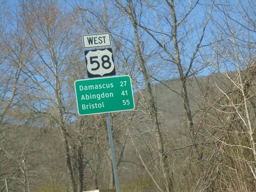
US-58 West - Distance Marker
Distance marker on US-58 west. Distance to Damascus, Abingdon, and Bristol.
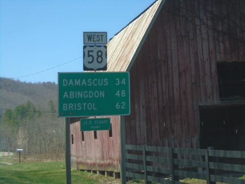
US-58 West - Distance Marker
Distance marker on US-58 west. Distance to Damascus, Abingdon, and Bristol.
VA-16 South at US-58
VA-16 South at US-58. Use US-58 West to Damascus; US-58 East/VA-16 South to Mouth of Wilson and Independence.
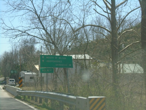
VA-16 South Approaching US-58
VA-16 South Approaching US-58 in Volney. Use US-58 West for Grayson Highlands State Park.
Troutdale
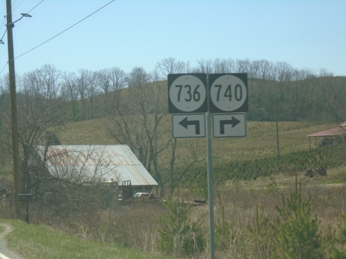
VA-16 South at VAS-736 and VAS-740
VA-16 South at VAS-736 and VAS-740 in Grayson County.
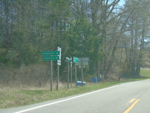
VA-16 South at VAS-603 West
VA-16 South at VAS-603 West to Konnarock and Damascus.
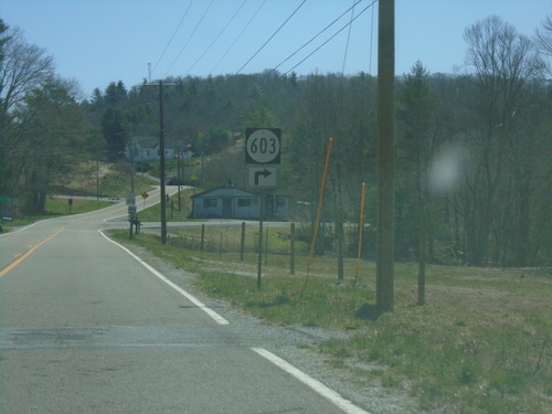
VA-16 South at VAS-603
VA-16 South at VAS-603 in Troutdale.