Javascript Is Required To Use This Page

Washington County, Virginia

Localities: Abingdon | Bristol | Damascus

Abingdon
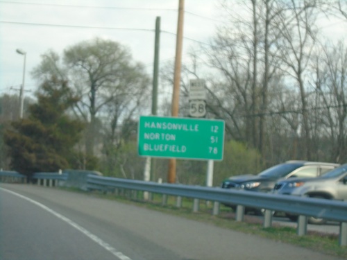
US-19 North/Alt. US-58 West - Distance Marker

US-19 North/Alt. US-58 West - Distance Marker

Distance Marker on US-19 North/Alt. US-58 West. Distance to Hansonville, Norton, and Bluefield.
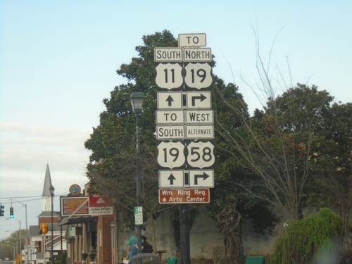
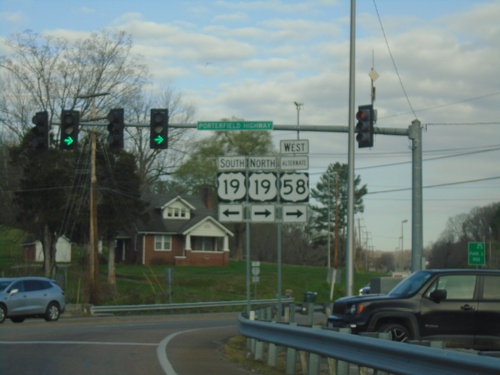
Alt. US-58 West at US-19

Alt. US-58 West at US-19

Alt. US-58 West at US-19 (Porterfield Highway).

Alt. US-58 West at US-19

Alt. US-58 West at US-19

Alt. US-58 West (Russell Road NW) at US-19 in Abingdon.

US-11 South/Alt. US-58 West (Main St.) at Alt. US-58/To US-19

US-11 South/Alt. US-58 West (Main St.) at Alt. US-58/To US-19

US-11 South/Alt. US-58 West (Main St.) at Alt. US-58/To US-19 (Russell Road NW)
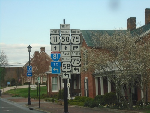
US-11/Alt. US-58 at VA-75

US-11/Alt. US-58 at VA-75

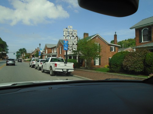
US-11/Alt. US-58 at VA-75 in Abingdon. Turn left for Alt. US-58 East/VA-75 South to I-81. Continue straight for US-11 South/Alt. US-58 West.
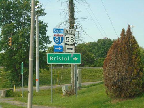
I-81 South - Exit 13

I-81 South - Exit 13

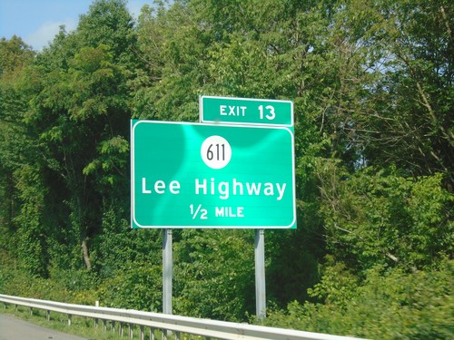
I-81 south approaching Exit 13 - VAS-611/Lee Highway.

Alt. US-58 East at I-81/US-58

Alt. US-58 East at I-81/US-58

Alt. US-58 East at I-81/US-58 in Abingdon. Use I-81 South/US-58 West for Bristol.

US-11/Alt. US-58 at VA-75

US-11/Alt. US-58 at VA-75

US-11/Alt. US-58 at VA-75 in Abingdon. Turn left for Alt. US-58 East/VA-75 South to I-81. Continue straight for US-11 South/Alt. US-58 West.

US-58 West/US-11 South at I-81

US-58 West/US-11 South at I-81

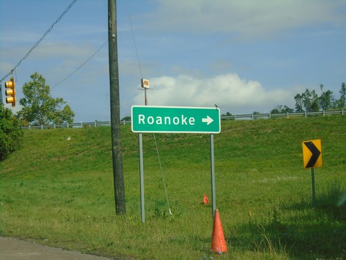
US-58 West/US-11 South at I-81 North to Roanoke.

US-11 South/US-58 West Approaching I-81

US-11 South/US-58 West Approaching I-81

US-11 South/US-58 West approaching I-81 in Abingdon.

US-58 West at US-11 - Abingdon

US-58 West at US-11 - Abingdon

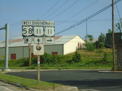
US-58 West at US-11 in Abingdon. US-11 South joins US-58 west to I-81.

Bristol

US-58 West/US-421 North - Washington County

US-58 West/US-421 North - Washington County

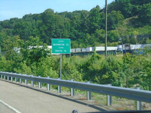
Entering Washington County/Leaving Bristol, VA on US-58 West/US-421 North.

I-81 South - Exits 1A and 1B

I-81 South - Exits 1A and 1B

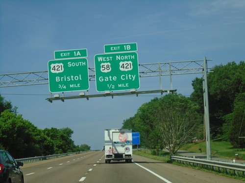
I-81 south approaching Exit 1B - US-58 West/US-421 North/Gate City. Approaching Exit 1B - US-421 South/Bristol. This is the last exit in Virginia on I-81 south.

I-81 South - Exit 1B-A

I-81 South - Exit 1B-A

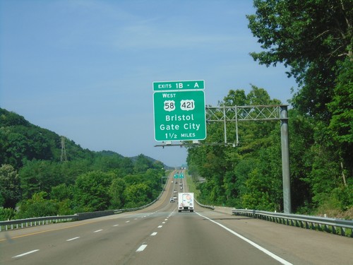
I-81 south approaching Exits 1B and 1A - US-58 West/US-421/Gate City/Bristol.

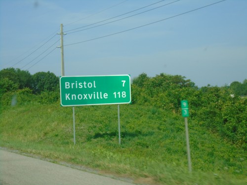
I-81 South - Distance Marker

I-81 South - Distance Marker

Distance marker on I-81 south. Distance to Bristol and Knoxville (TN).

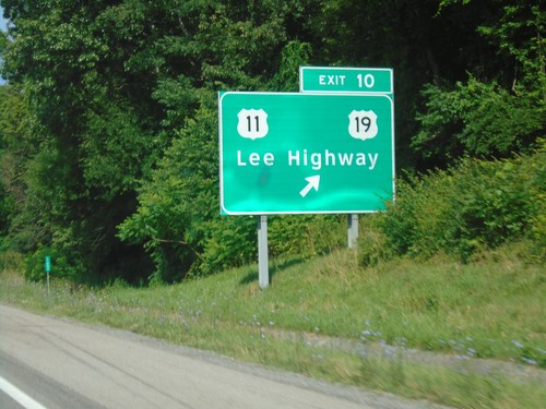
I-81 South - Exit 10

I-81 South - Exit 10

I-81 south at Exit 10 - US-11/US-19/Lee Highway.

Damascus

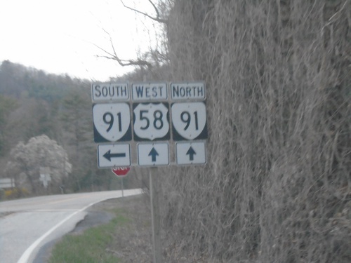
US-58 West at VA-91

US-58 West at VA-91

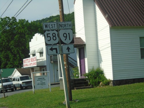
US-58 West at VA-91. VA-91 North joins US-58 West into Damascus.

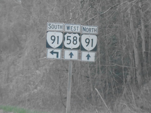
US-58 West at VA-91

US-58 West at VA-91

US-58 West at VA-91. VA-91 North joins US-58 West into Damascus.

US-58 West at VAS-603

US-58 West at VAS-603

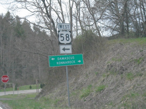
US-58 West at VAS-603. Use VAS-603 east to Konnarock; US-58 west to Damascus.

US-58 West at VAS-600

US-58 West at VAS-600

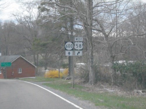
US-58 West at VAS-600 in Washington County.

US-58 East at VA-91 - Damascus

US-58 East at VA-91 - Damascus

US-58 East at VA-91 in Damascus. VA-91 south joins US-58 east through Damascus.
VAS-1206 at VAS-716 - Damascus

VAS-1206 at VAS-716 - Damascus

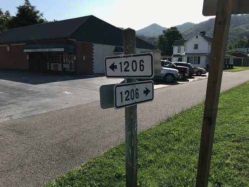
VAS-1206 (Creepers Way) at VAS-716 (Shady Ave.) in Damascus

Virginia Creeper Trail at VAS-716

Virginia Creeper Trail at VAS-716

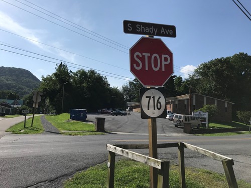
Virginia Creeper Trail at VAS-716 (Shady Ave.) in Damascus.

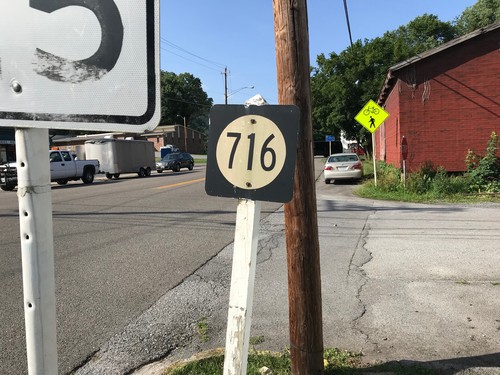
VAS-716 South - Damascus

VAS-716 South - Damascus

VAS-716 South (Shady Ave.) in Damascus.

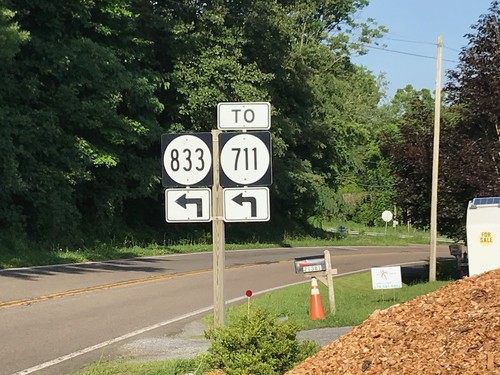
US-58 West at VAS-833/To VAS-711

US-58 West at VAS-833/To VAS-711

US-58 West at VAS-833/To VAS-711 in Washington County.

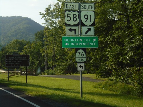
US-58 East/VA-91 South at US-58/VA-91 Split

US-58 East/VA-91 South at US-58/VA-91 Split

US-58 East/VA-91 South at US-58/VA-91 split. Merge right for VA-91 South to Mountain City (TN). Turn left for US-58 east to Independence and bike route 76.
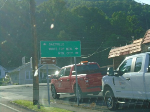
US-58 East at VA-91 - Damascus

US-58 East at VA-91 - Damascus

US-58 East at VA-91 in Damascus. Turn left for VA-91 north to Saltville; turn right for US-58 East/VA-91 South to White Top Mountain and Mountain City (via VA-91).
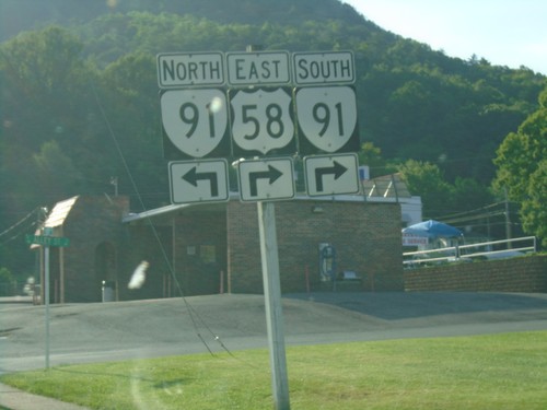
US-58 East at VA-91 in Damascus

US-58 East at VA-91 in Damascus

US-58 East at VA-91 in Damascus. VA-91 south joins US-58 east through Damascus.
US-58 East at VAS-716

US-58 East at VAS-716

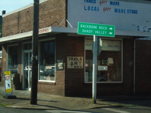
US-58 East at VAS-716 south to Backbone Rock (TN) and Shady Valley (TN).

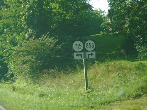
US-58 East Approaching VAS-715 and VAS-858

US-58 East Approaching VAS-715 and VAS-858

US-58 East Approaching VAS-715 and VAS-858 in Washington County.
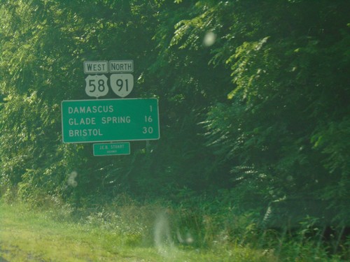
US-58 West/VA-91 North at US-58/VA-91 Split

US-58 West/VA-91 North at US-58/VA-91 Split

US-58 West/VA-91 North at US-58/VA-91 Split in Damascus.

US-58 West/VA-91 North - Distance Marker

US-58 West/VA-91 North - Distance Marker

Distance Marker on US-58 West/VA-91 North. Distance to Damascus, Glade Spring, and Bristol. US-58 is the Jeb Stewart Highway.
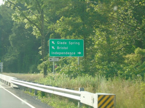
VA-91 North at VAS-1212; Approaching US-58

VA-91 North at VAS-1212; Approaching US-58

VA-91 north at VAS-1212. VA-91 north approaching US-58. Turn right for US-58 East to Independence; turn left for US-58 West/VA-91 North to Bristol and Glade Spring.
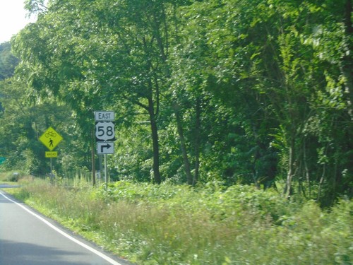
VA-91 North Approaching US-58

VA-91 North Approaching US-58

VA-91 North Approaching US-58 in Washington County. Turn right for US-58 East. VA-91 North joins US-58 West into Damascus.
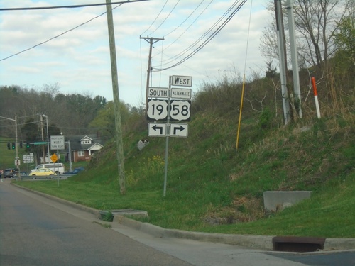
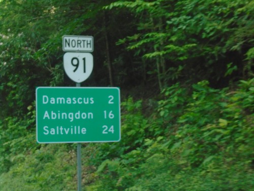
VA-91 North - Distance Marker

VA-91 North - Distance Marker

Distance marker on VA-91 north. Distance to Damascus, Abingdon, and Saltville.

Entering Virginia on VA-91 North

Entering Virginia on VA-91 North

Virginia on VA-91 north. Taken at the Tennessee-Virginia State Line.