US-50 - Lander County

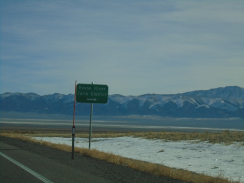
US-50 East - Reese River/Farm District
US-50 East at junction to Reese River/Farm District
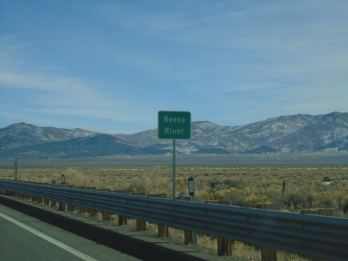
US-50 East - Reese River
US-50 east at the Reese River in Lander County. The Reese River starts in the Toyiabe Range, south of here, and flows north to the Humboldt River near Battle Mountain.
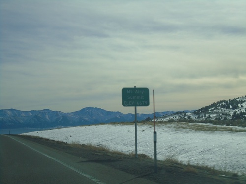
US-50 East - Mount Airy Summit
US-50 East at Mount Airy Summit - Elevation 6679 Feet. Mount Airy Summit is a pass in the Shoshone Mountains.
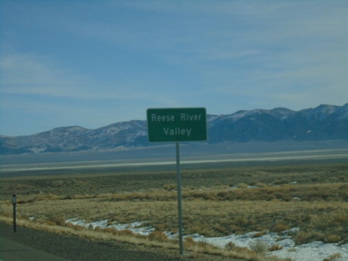
US-50 East - Reese River Valley
Entering the Reese River Valley on US-50 east.