US-50/NV-376 Junction


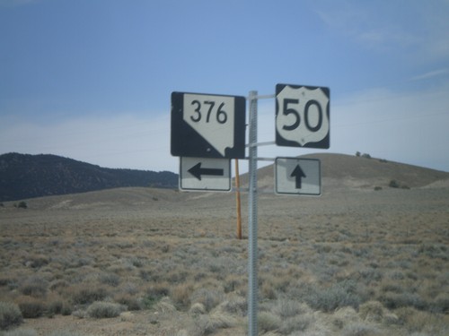
US-50 West approaching NV-376
US-50 west approaching NV-376
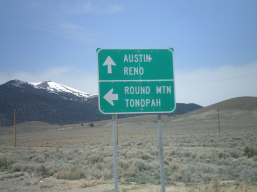
US-50 West at NV-376 South
US-50 west at NV-376 south for Round Mountain and Tonopah. Continue west for Austin and Reno.
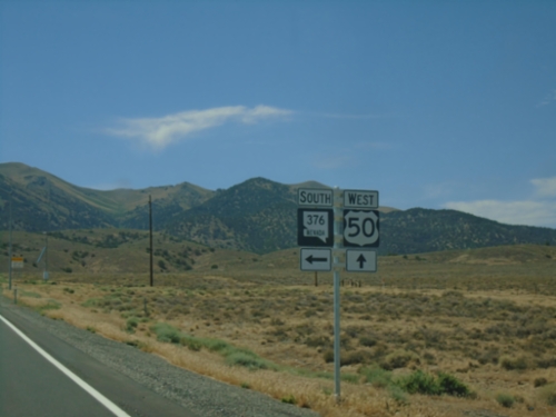
US-50 West at NV-376
US-50 West at NV-376 South in Lander County.
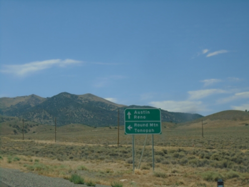
US-50 West at NV-376 South
US-50 west at NV-376 south for Round Mountain and Tonopah. Continue west on US-50 for Austin and Reno.
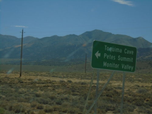
NV-376 South - Monitor Valley Junction
NV-376 south at county road to Petes Summit, Monitor Valley, and Toquima Cave.
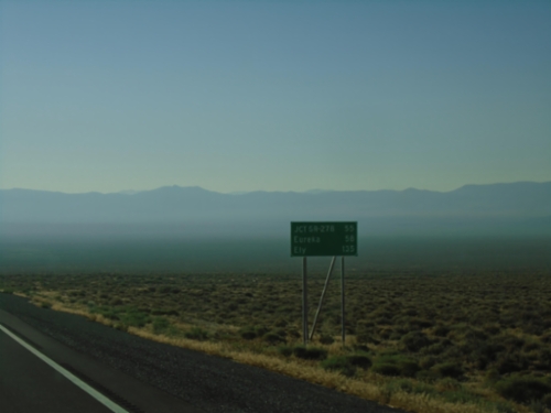
US-50 East - Distance Marker
Distance marker on US-50 east. Distance to Jct. SR-278, Eureka, and Ely. Haze in photograph is due to numerous wildfires in area.
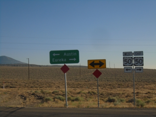
End NV-376 North at US-50
End NV-376 North at US-50. Use US-50 West to Austin; US-50 East to Eureka.
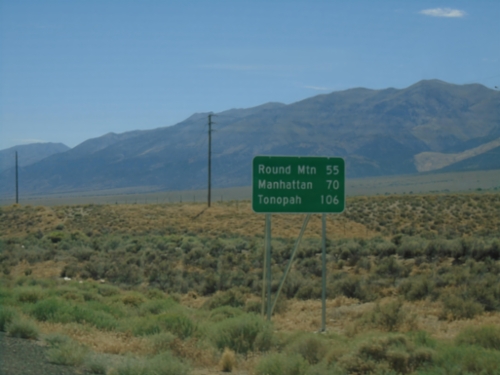
NV-376 South - Distance Marker
Distance marker on NV-376 south. Distance to Round Mountain, Manhattan, and Tonopah.
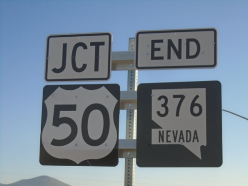
End NV-376 North at US-50
End NV-376 North at US-50 in Lander County.
NV-376 North Approaching US-50
NV-376 North approaching US-50 in Lander County.
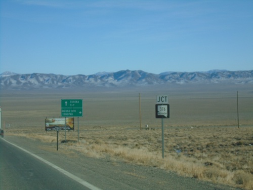
US-50 East Approaching NV-376
US-50 East approaching NV-376 south to Round Mountain and Tonopah. Continue east on US-50 for Eureka and Ely.
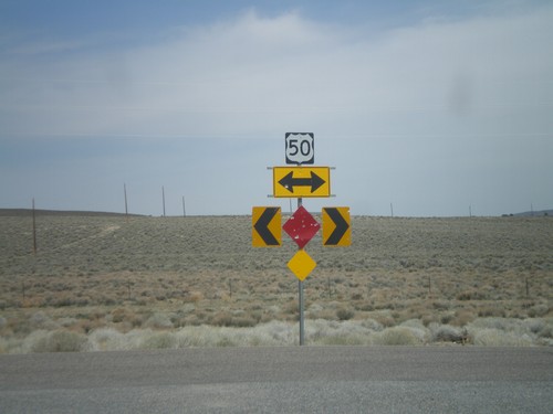
End NV-376 North at US-50
End NV-376 north at US-50
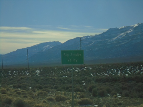
NV-376 South - Big Smoky Valley
Big Smoky Valley on NV-376 South
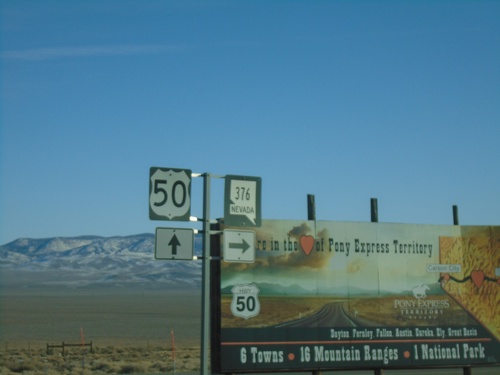
US-50 East at NV-376
US-50 East at NV-376 in Lander County.
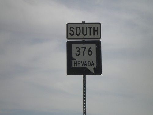
NV-376 South
NV-376 south.