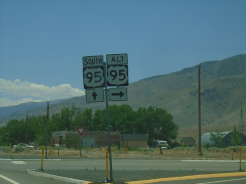
US-95/US-95A Junction - Schurz
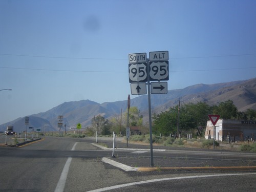
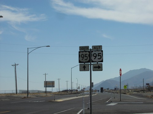
US-95 South at US-95 Alt.
US-95 south at US-95 Alt North in Schurz. This is the southern terminus of US-95 Alt.
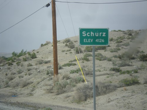
US-95 North - Schurz
Schurz - Elevation 4,126 on US-95 north. Schurz is home to the Walker River Paiute Tribe.
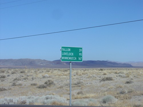
US-95 North Distance Marker
Distance marker on US-95 just north of US-95A junction to Fallon, Lovelock, and Winnemucca
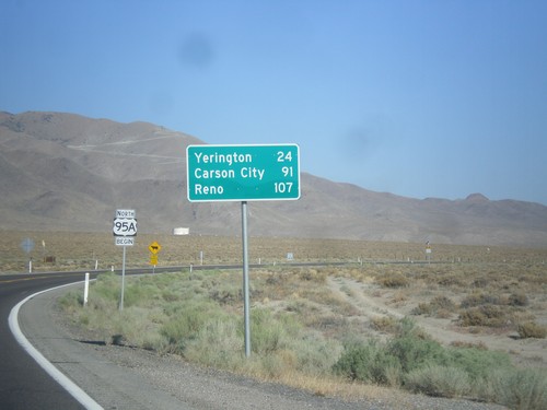
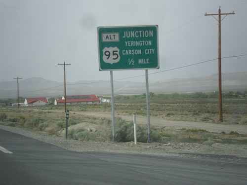
US-95 Alt. North - Distance Marker
Distance marker on US-95 Alt. north. Distance to Yerington, Carson City (via US-50), and Reno (via I-80).
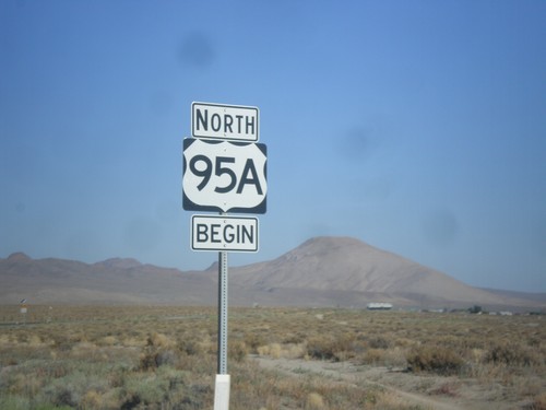
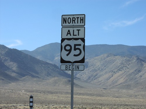
Begin US-95A (US-95 Alternate) in Schurz
Begin US-95A (US-95 Alternate) in Schurz. The US-95A shield is commonplace on the stretch of highway between Schurz and Silver Springs. North of Silver Springs the US-95 with the ALT banner is used.
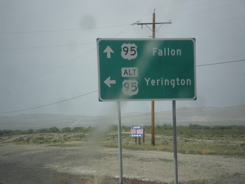
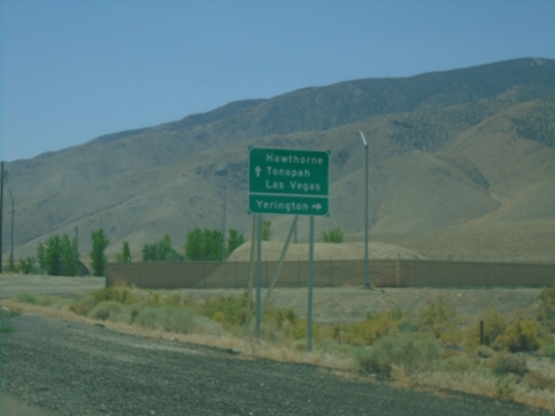
US-95 North at Alt. US-95 North
US-95 North at Alt. US-95 North to Yerington. Continue north on US-95 for Fallon. Alt. US-95 rejoins US-95 north of Fallon at I-80.
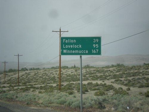
US-95 North - Distance Marker
Distance marker on US-95 north. Distance to Fallon, Lovelock, and Winnemucca. This sign was upgraded to the Clearview font since the last time I photographed it in 2006.


