Valley Falls


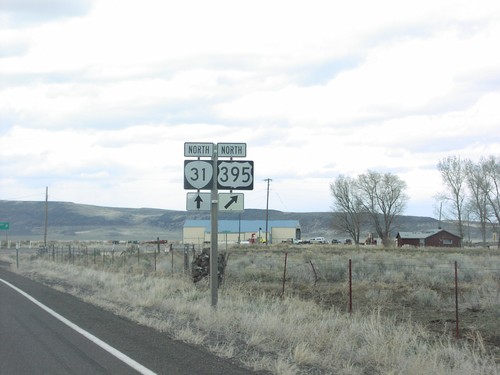
US-395 North at OR-31
OR-31/US-395 junction in Valley Falls.
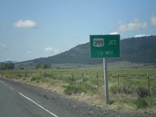
OR-31 South Approaching US-395
OR-31 South at US-395 junction. This is the southern end of OR-31.
OR-31 South Approaching US-395
OR-31 south approaching US-395. This is the southern end of OR-31.
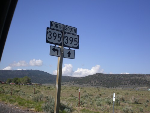
End OR-31 South at US-395
End OR-31 south at US-395. Use US-395 south for Lakeview and Reno (Nevada). Use US-395 north for Wagontire and Burns.
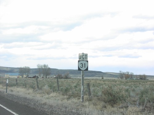
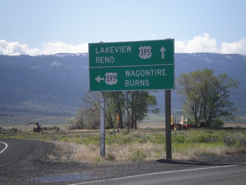
Jct. OR-31 on US-395 North
Junction OR-31 on US-395 north in Valley Falls.
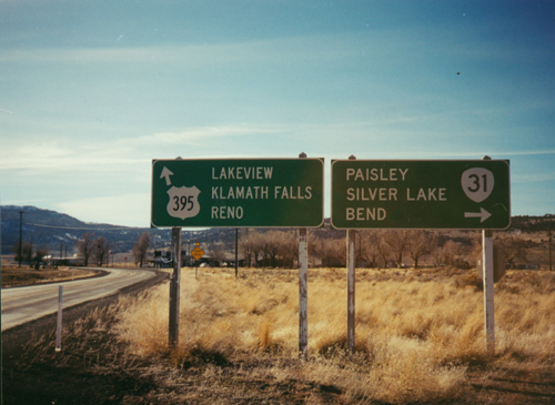
US-395 South At OR-31
US-395 South to Lakeview/Klamath Falls/Reno at OR-31 to Paisley/Silver Lake/Bend
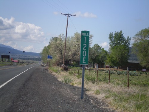
Milemarker at OR-31/US-395 Junction
Milemarker 120E at OR-31/US-395 junction. These type of milemarkers with the letter suffix have started to appear around Oregon. The letter indicates the segment of highway that the mileage is for. In Oregon, mile markers are posted according to internal highway, not posted route number (except for intersate highways). In this case the milemarker is for Fremont Highway. A posted highway can be composed of have multiple segments of internal highways. The milemarker in this photo is for the 5th (E is the 5th letter) segment of internal highway along posted route US-395. See here for more discussion: State Highways In Oregon