US-395/CA-89 Junction


US-395 North at CA-89 North
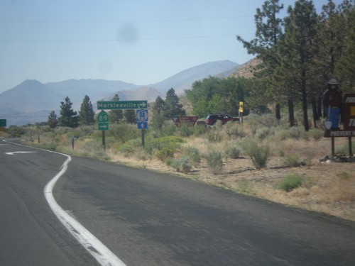
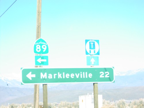
US-395 south at CA-89 north to Markleeville. This is the southern end of CA-89.
US-395 South at CA-89
US-395 south at CA-89 North to Markleeville and Monitor Pass. Monitor Pass was open when this was taken. This is the southern end of CA-89.
US-395 North at CA-89
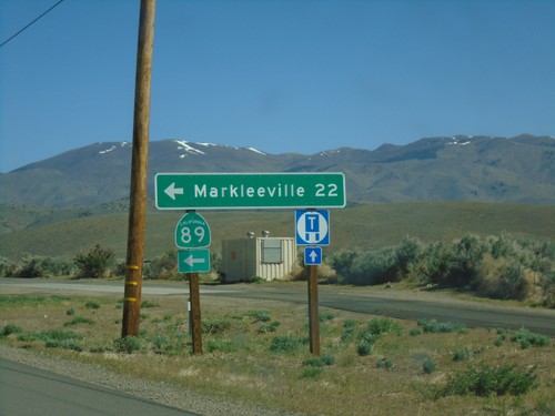
US-395 North at CA-89 North. Turn left on CA-89 for Markleeville.
US-395 South at CA-89
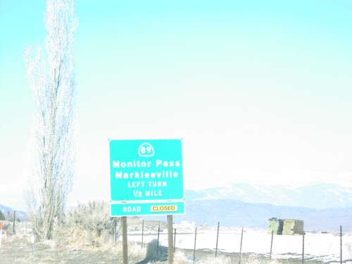
US-395 north at CA-89 junction to Markleeville and Monitor Pass in Topaz. Monitor Pass is closed when this was taken.
US-395 North at CA-89 North
Distance marker to Markleeville on US-395 north at CA-89 junction in Topaz. This is the southern end of CA-89.
US-395 North - Distance Marker
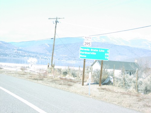
Distance marker to Nevada, Carson City, and Reno on US-395 north in Topaz.
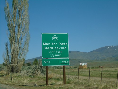
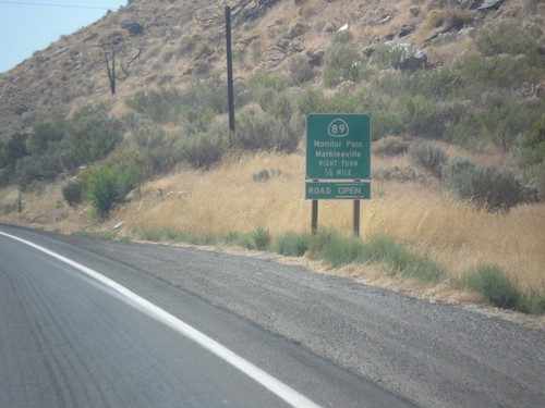
US-395 North Approaching CA-89
US-395 North approaching CA-89 to Markleeville and Monitor Pass. Monitor Pass was open when this picture was taken.
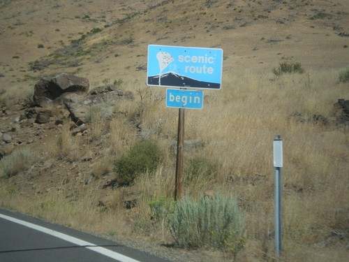
CA-89 North - Begin Scenic Route
Begin Scenic Route on CA-89 north.
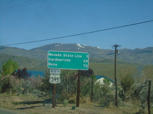
US-395 North - Distance Marker
Distance marker to Nevada State Line, Carson City, and Reno on US-395 north.
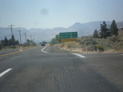
US-395 South - Sierra Pass Information
Sierra pass closure information on US-395 south. Information for Sonora Pass (CA-108) and Tioga Pass (CA-120). At the time this photo was taken both passes were open.
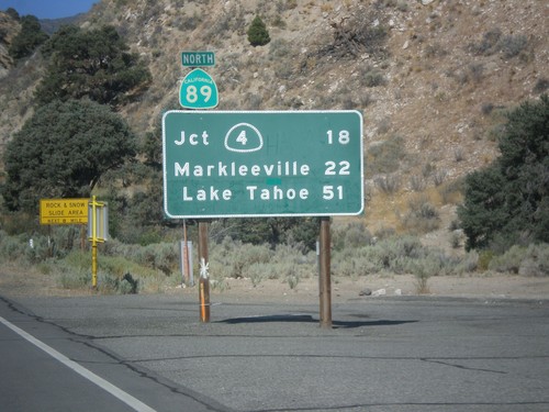
CA-89 North - Distance Marker
First distance marker on CA-89 north. Distance to CA-4 Jct., Markleeville, and Lake Tahoe.